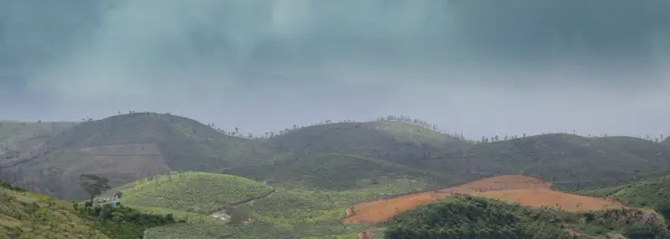
Malankara Dam

Malankara Dam is at Muttom near Thodupuzha, on the Thodupuzha–Moolamattom road in Idukki district. The Irrigation Department’s earth-and-masonry structure holds water on the Thodupuzha River for the Muvattupuzha Valley Irrigation Project. Its reservoir also receives water released after power generation at Moolamattom, linking this lower landscape with the much larger Idukki hydel system.

Malankara Dam, Idukki and Cheruthoni
Practical guide

Plan Malankara Dam

Who's going?Tailor Malankara Dam to your trip
Typedam
AreaIdukki and Cheruthoni
DistrictIdukki
Best timeThe Irrigation Department recommends…
Time neededAllow about one to two hours as a…
Places to visit12Listed businesses17

The visitor experience is a dam-side park, walking area and reservoir outlook. Malankara is a practical Thodupuzha-side stop, with the town close enough to remain the base for meals and onward transport. A park ticket covers the permitted visitor area; it does not turn gates, operating walkways or the downstream channel into sightseeing space.

The story

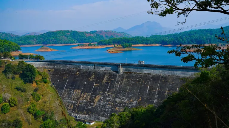
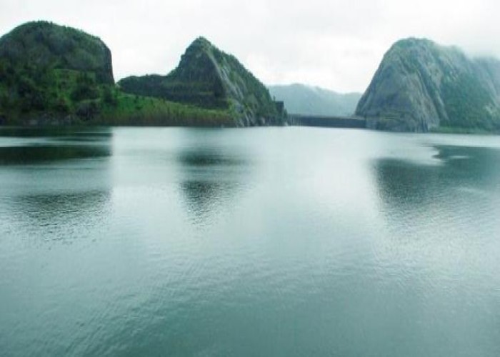
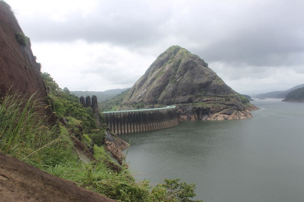
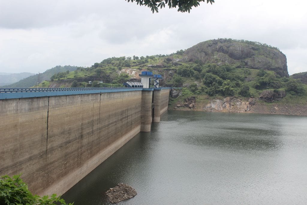
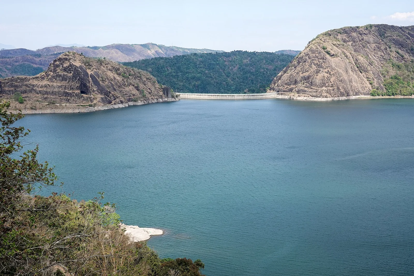
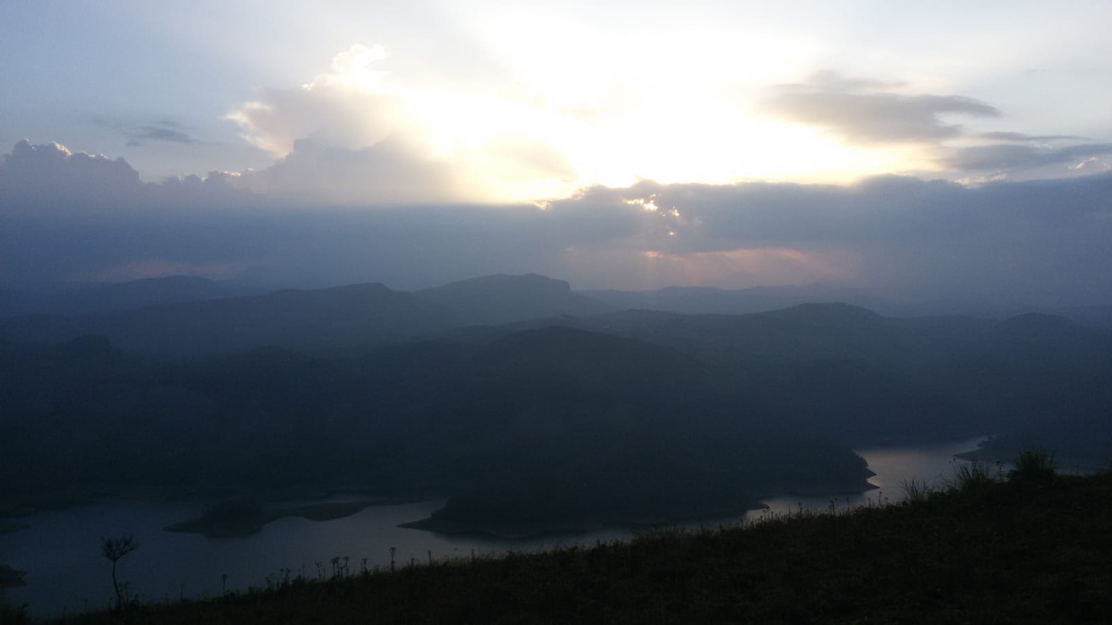
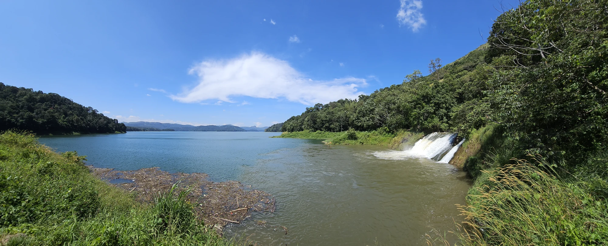
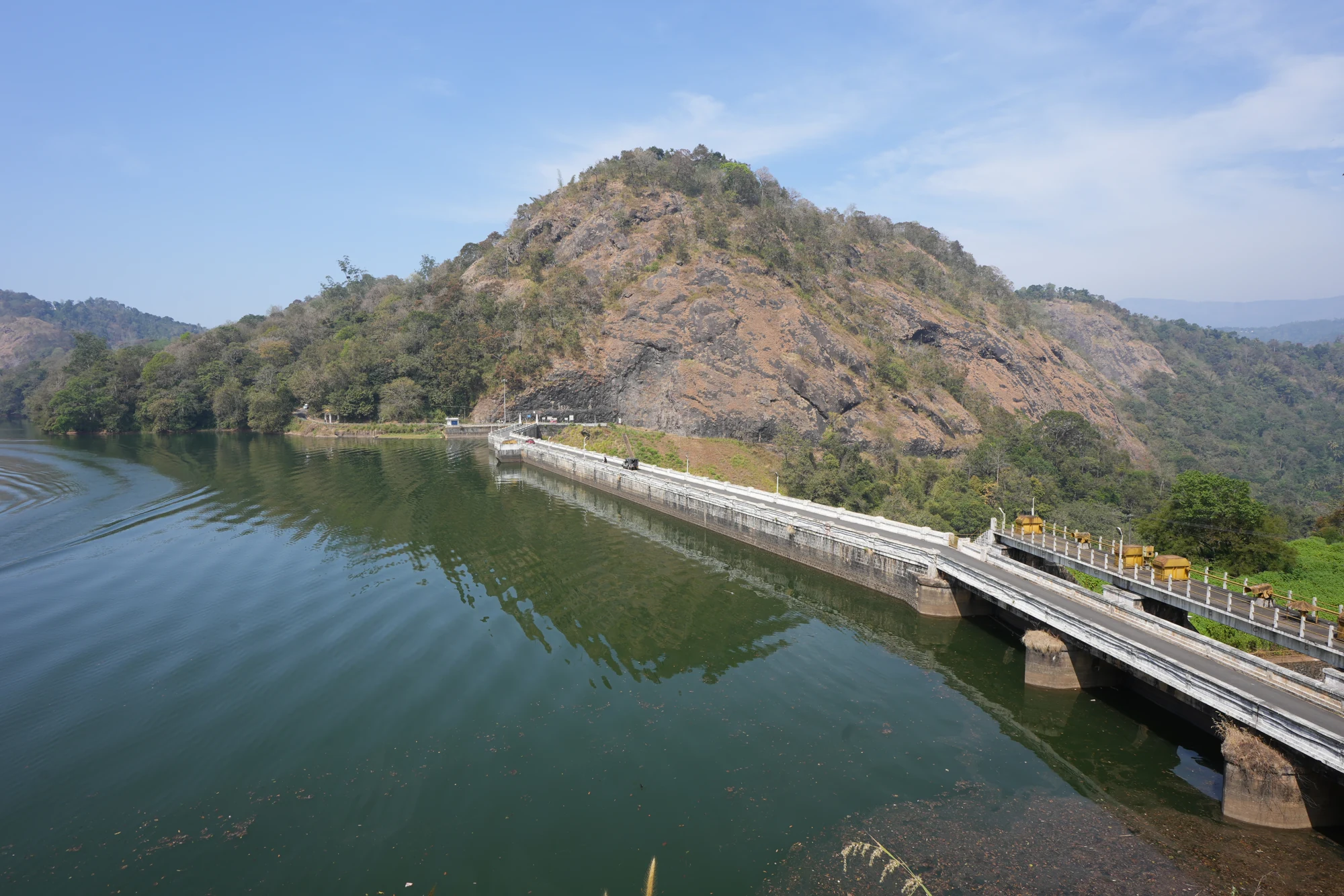
Malankara’s reservoir spreads between wooded banks and smaller projections of land. At the dam, that irregular shoreline meets a straight engineered barrier, with gates, piers and operating structures arranged in a repeated line. The visitor park occupies the edge of a water system whose work continues far beyond the view.

The story of Malankara Dam

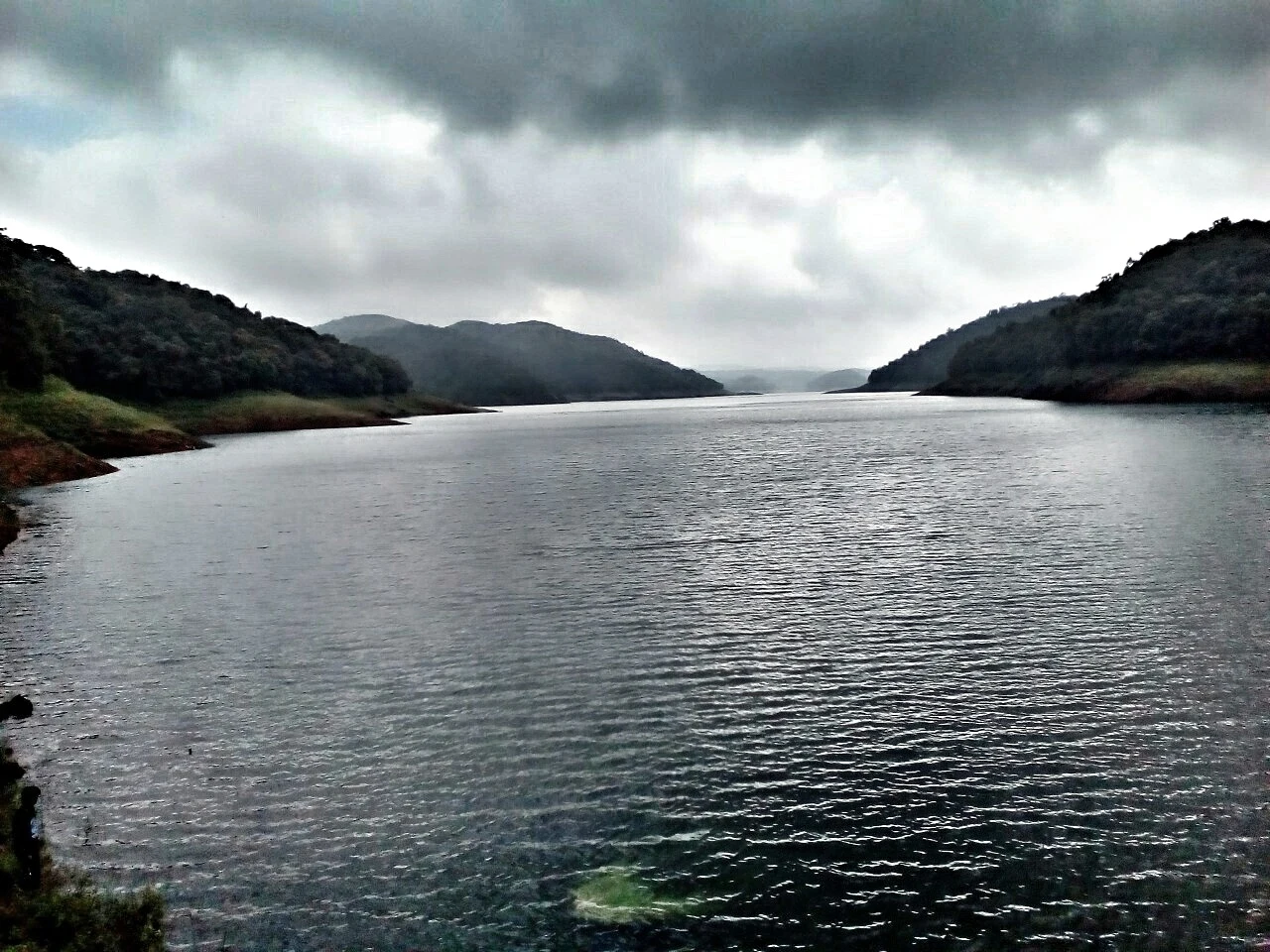
The first distinction is between reservoir and dam. A photograph across the water may show tree-covered banks, a distant rounded hill and reflections without showing the structure at all. The dam is the barrier holding that water; the reservoir extends away from it through a much larger landscape. Keeping the two separate makes it easier to choose the correct visitor entrance and to understand photographs taken at different points around Malankara.

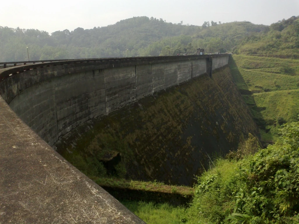
At the masonry section, piers divide the gate openings. Small buildings stand above the structure, and metal walkways connect parts of the operating area. When water is being released, white flow pours down the spillway faces towards the channel below. This is the most direct visible expression of the dam’s purpose: stored water is controlled and released, not simply displayed as a scenic lake.

The reservoir receives both the Thodupuzha catchment’s runoff and tailrace water from Moolamattom. Tailrace means water leaving a power station after passing through its generating system. At Malankara, that water can serve further uses through storage and distribution. The same regional project landscape therefore links electricity generation in the high ranges with irrigation and water supply lower down.

Malankara is part of the Muvattupuzha Valley Irrigation Project, whose canal systems extend from both banks. The project’s published description identifies benefits across Idukki, Ernakulam and Kottayam districts. A visitor standing in Idukki is looking at infrastructure with a reach beyond the district boundary; the reservoir’s value cannot be measured only by what is visible from the park.

The surrounding landscape also has a different scale from the high arch dam at Idukki. Here the banks spread into wooded promontories and lower water margins, with hill forms beyond. In some views, grass and emergent plants occupy the near edge. These details give the reservoir a close foreground as well as a distant panorama, rewarding a walk that allows the angle to change.

Kudayathoor appears in many photographs of Malankara reservoir. Those images belong to a wider reservoir landscape, rather than proving that the same view is available beside the dam entrance. A reservoir can be one named waterbody and still require several different road approaches. Choose an additional shore stop by its actual location, not by assuming that every photograph was taken on one continuous public promenade.

The visitor park offers a more contained way to spend time beside the water. The Irrigation Department lists a children’s park and walking track among available facilities. These give a family visit a practical shape: a walk, a view and time in the play area, with the dam’s operation kept physically separate. There is no need to add an unverified boat trip to make the visit worthwhile.

Tourism development has continued in stages. The official account records closure after the 2018 flood and reopening in November 2019 following improvement works. Its longer list also includes ideas for landscaping, cottages, cafés and other activities. A development proposal explains ambition; it does not establish that each feature can be used on arrival.

Thodupuzha remains important to the visit. The dam lies on the road towards Moolamattom, so it can be included before or after a journey further into Idukki. The town provides a clearer transport and meal base than a vague district-centre address. A good Malankara day keeps the short local visit distinct from the longer climbs towards the high ranges.

The most rewarding departure is with the water journey understood: runoff and power-station tailwater enter storage, the dam controls release, and canals and other uses carry the benefit outwards. The park is the visitor’s window into that work, while the wooded reservoir gives the infrastructure its particular landscape setting.
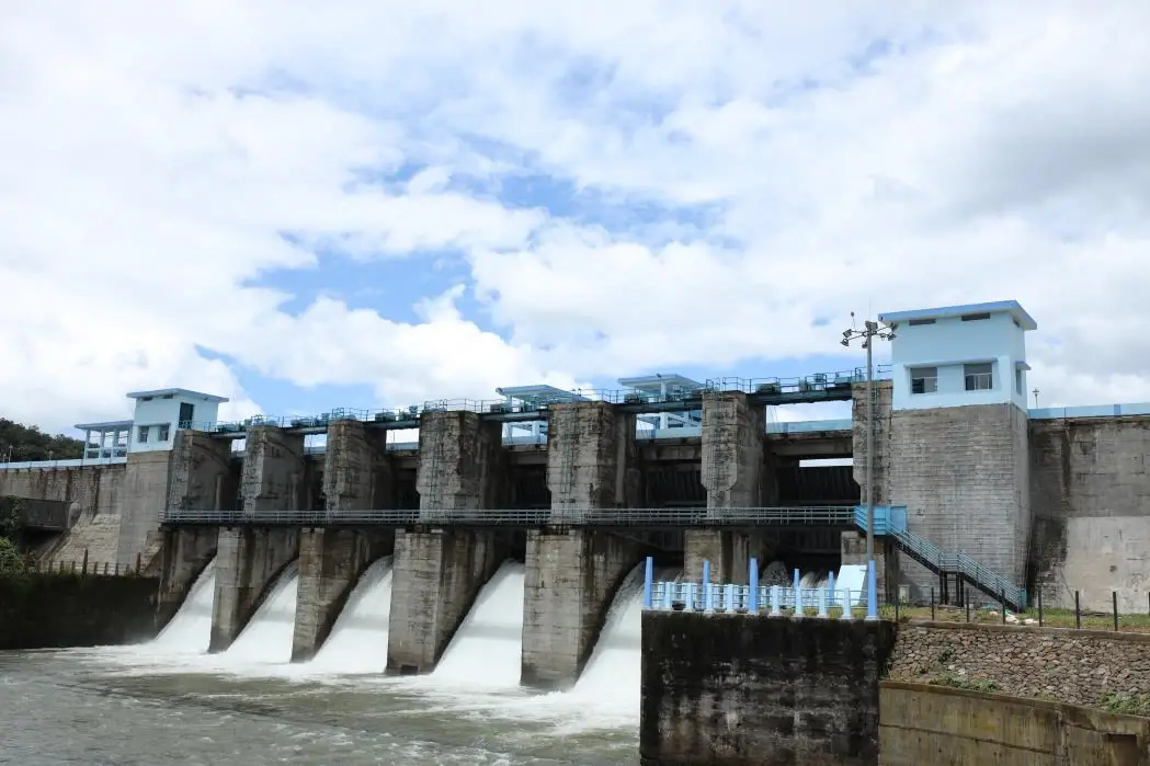
Read the full history of Malankara Dam 237 more words

History

The Irrigation Department’s dam inventory records completion of Malankara in 1994. Its emergency action plan identifies the structure as an earth-cum-masonry dam owned and operated by the department at Muttom. This is a different construction type and administrative setting from Idukki’s arch dam.

The wider Muvattupuzha Valley Irrigation Project developed over a longer period than the dam structure alone. The department’s project account records commissioning of the project on 10 July 2020, while also describing completed canals and associated works. The dam’s 1994 completion and the later project milestone refer to different scopes.

A small hydel installation at the dam’s toe adds another use of the stored water. The project account records power production beginning in September 2005. It should not be confused with the much larger Moolamattom station upstream in the water-transfer sequence.

Public tourism access has its own chronology: the department describes restrictions after the 2018 flood, followed by reopening in November 2019. Current admission remains subject to the site’s operating and safety arrangements, even though the published visitor account describes access on all days.

Why visit

See how an irrigation dam combines a straight gated structure with a much less regular reservoir landscape.

Understand the connection between Moolamattom’s tailwater and the canals serving the Muvattupuzha valley.

Use the established park and walking track for a contained family stop near Thodupuzha.

Notice the difference between dam-gate views, low reservoir shores and photographs made further away around Kudayathoor.

What to expect

Highlights

  • A working irrigation dam where the gated masonry section can be understood alongside the broader reservoir.
  • Reservoir margins with wooded projections, low islands and distant hill outlines, different from the steep-sided Idukki arch-dam setting.

  • A documented children’s park and walking track within the visitor development beside the water.
Getting there

How to visit

  • Arrive at the Malankara Dam tourism entrance in Muttom. A photograph taken elsewhere around the reservoir, including Kudayathoor, does not identify this gate.
  • Begin at the entrance counter and establish which paths and viewpoints are open that day. Follow the public walking route rather than a service stair or operating platform visible on the structure.
  • For a family visit, combine the permitted reservoir walk with the children’s park. Treat boating or any separately advertised activity as a separate service to verify at the site, not an automatic inclusion in admission.

Distance by road

  • Kochi107 km
  • Madurai172 km
  • Thiruvananthapuram226 km
  • Coimbatore252 km
  • Kozhikode276 km

Road km to Idukki; ghat roads and traffic vary — allow extra.

Timing

Best time

The Irrigation Department recommends November–February for the visitor landscape. Use daylight for the walking area and choose the actual weather over a seasonal label: strong rain, reservoir releases or a closure notice can change access. A sunset photograph does not establish the entrance counter’s closing time.

Weather in Malankara DamSeasonal guide

Live forecast loads in your browser.

Today at Malankara Dam
Sunrise6:11 am
Sunset6:08 pm
Golden hour best light5:08 pm–6:08 pm
Blue hour after sunset6:08 pm–6:33 pm
Sun sets toward compass bearingW · 263°
Moon tonight🌑 New moon · 0%
Retreating monsoon. October and November still see spells of rain from the retreating monsoon, though it is usually lighter than mid-year. Conditions are generally good but worth checking.

Sun and moon are calculated for this location and shown in IST. Photography windows are the hour around sunrise and sunset; the sunset bearing is degrees clockwise from true north. Moon phase is accurate to about half a day.

Visitor notes

  • The final locality is Muttom in Thodupuzha taluk. Idukki and Cheruthoni is the wider district travel grouping for this page; the dam is not in Cheruthoni town.
  • The dam’s irrigation ownership is distinct from the KSEB power infrastructure connected with the water system. Use the Irrigation Department’s visitor entrance and directions.
  • The official development description mixes existing amenities with proposed projects. The established park and track are the core visit; do not arrive expecting the full proposed tourism village.
Safety

Good to know

  • Keep away from the downstream channel and spillway outflow. A calm reservoir surface does not describe the force of water released through a gate.
  • Use the permitted path around the visitor area and supervise children beside railings and open water. Play equipment is separate from the reservoir bank.
  • Do not descend service stairs, cross barriers or walk onto exposed islands. The presence of a stair or a dry strip of land is not a public access sign.
Official eco & forest programmes

Experiences around Malankara Dam

These are official or public-sector eco offerings that match this place, town or forest destination. Confirm availability, permits, tariffs and reporting times with the official operator before travel.

Idukki Wildlife Sanctuary, Malankara Dam
wildlifeboatingviewpoint

Idukki Wildlife Sanctuary eco visit

Forest and reservoir wildlife sanctuary around the Idukki-Cheruthoni dam landscape.

Kerala Forest Department
Official source →
Kalvari Mount, Malankara Dam
viewpointtrek

Kalvari Mount ecotourism viewpoint

Idukki reservoir viewpoint and pilgrimage hill, connected with Kerala Forest Ecotourism listings.

Kerala Forest Department / local tourism authorities
Official source →
Stay · eat · do · rent · see · shop

Stays, food & things to do near Malankara Dam

Browse listed stays, food, activities, sights, shops and rentals around Malankara Dam. Check each listing’s locality and contact the business directly for current arrangements.

Dam and reservoir viewpoint · Idukki and Cheruthoni
Kulamavu Dam Kerala Tourism

Dam and reservoir viewpoint in Idukki and Cheruthoni. Kulamavu, Idukki district, Kerala · Kulamavu, Dam, Idukki Reservoir.

DirectionsView guide
Wildlife sanctuary · Idukki and Cheruthoni
Idukki Wildlife Sanctuary Kerala Tourism

Wildlife sanctuary in Idukki and Cheruthoni. Idukki Wildlife Sanctuary, Idukki district, Kerala · Idukki, Wildlife sanctuary, Cheruthoni.

DirectionsView guide
Silver House homestay · Idukki and Cheruthoni
Panchami Homestay Cheruthoni

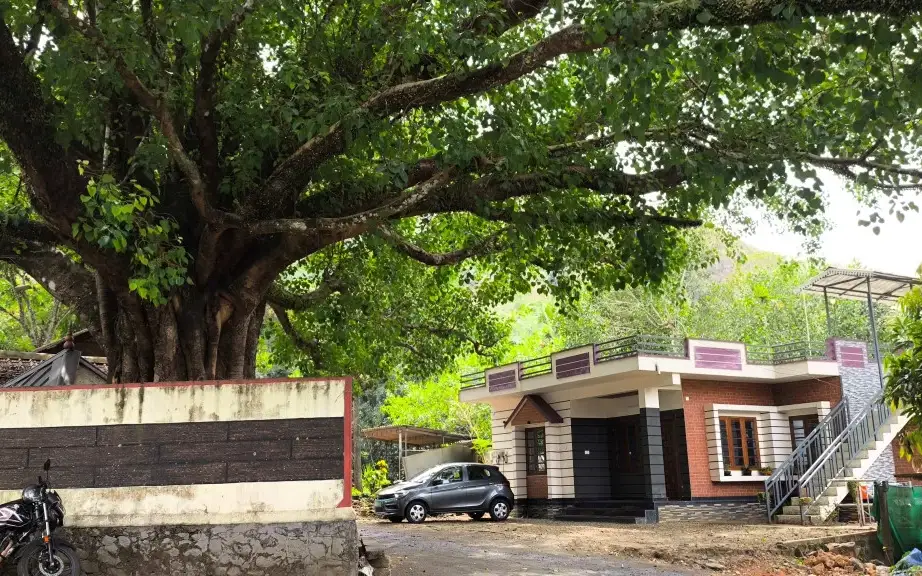
Panchami Homestay Cheruthoni is a Kerala Tourism-listed Silver House homestay at Idukki Colony P.O., Alinchuvadu, useful for travellers comparing simple Cheruthoni/Painavu stays with homely Kerala food, Wi-fi, car hire, parking and Idukki reservoir route access. Homestay tariff · Cheruthoni, Idukki Colony, Homestay.

Directions Commission-freeView details
Kuttikkanam restaurant · Idukki and Cheruthoni
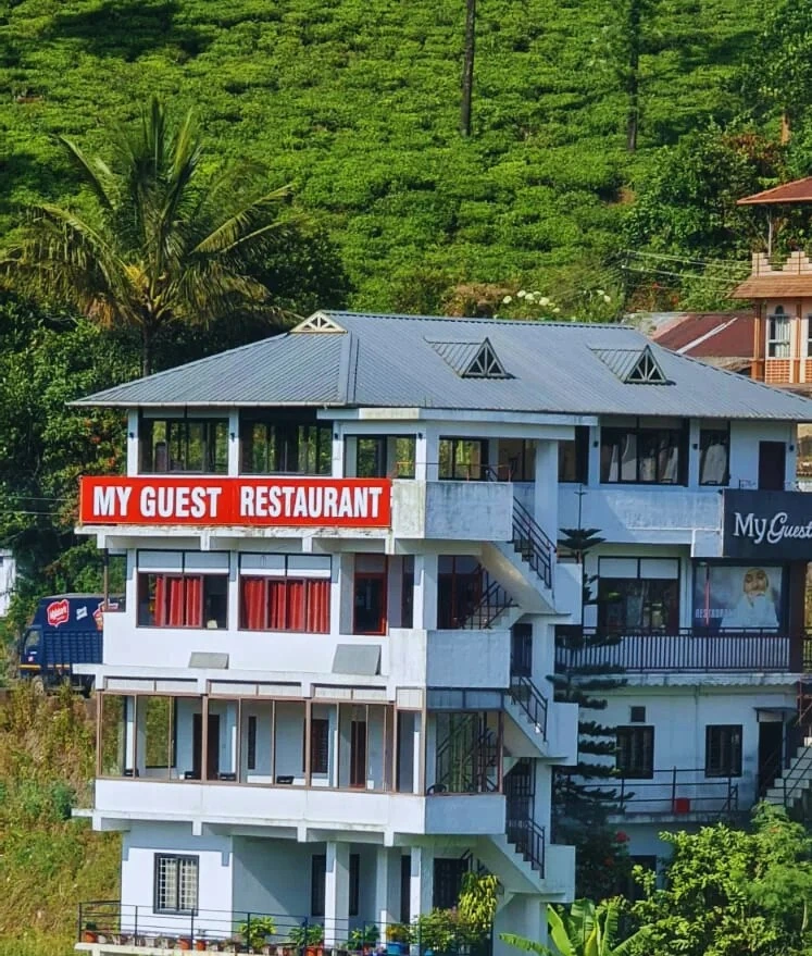
My Guest Restaurant Kuttikkanam

Kuttikkanam restaurant in Idukki and Cheruthoni. My Guest Restaurant, NH-183, Theni By-Pass, Pambanar, Peerumade, Idukki, Kerala 685531 · Restaurant menu pricing · Kuttikkanam, Pambanar, Restaurant.

Directions Commission-freeView details
Ayurveda and wellness centre · Idukki and Cheruthoni
Sahyadri Ayurvedic Centre Peermade

Kerala Tourism destination record for Peermade Ayurveda, Panchakarma, herbal medicine, yoga and wellness stays.

Directions Commission-freeView details
Premium serviced villa · Idukki and Cheruthoni
Mistara by Driveholicz Parunthumpara

Kerala Tourism-certified serviced villa at Parunthumpara with infinity pool, food and activity evidence.

Directions Commission-freeView details
Serviced villa · Idukki and Cheruthoni
Elam Villa Parunthumpara Peermade

Elam Villa Parunthumpara Peermade is a Kerala Tourism-listed serviced villa record for travellers comparing Parunthumpara, Pambanar and Peerumedu stays with direct phone, email and website evidence. Parunthumpara, Peermade, Serviced villa.

Directions Commission-freeView details
Plantation hotel · Idukki and Cheruthoni
Paradisa Plantation Retreat Peermade

Kerala Tourism-listed plantation retreat at Murinjapuzha with restaurant, pool and estate-walk evidence.

Directions Commission-freeView details
Homestay · Idukki and Cheruthoni
The Placid Rill Homestay Peermade

Kerala Tourism-listed Ladrum Estate homestay with stream, food, Wi-fi, car-hire and activity evidence.

Directions Commission-freeView details
Serviced villa · Idukki and Cheruthoni
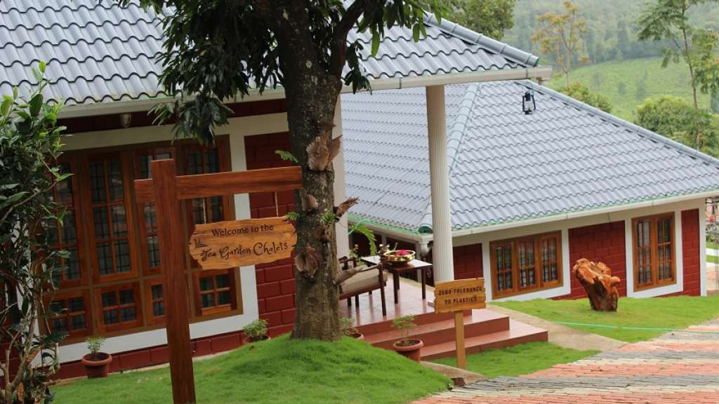
Tea Garden Chalets Unit I Peermade

Kerala Tourism-listed serviced villa near Pambanar and Peermade, surrounded by tea and cardamom plantations.

Directions Commission-freeView details
Government eco lodge · Idukki and Cheruthoni
Eco Lodge Peerumedu

Government Yathri Nivas eco lodge at the Peerumedu Government Guest House compound. A simple budget Kerala Tourism-run lodge base for Peermade and Kuttikkanam.

Directions Commission-freeView details
Government eco lodge · Idukki and Cheruthoni
Eco Lodge Idukki Painavu

Government Yathri Nivas eco lodge behind DTPC Idukki Park near IDA Ground, Painavu. A budget Kerala Tourism-run lodge base for Cheruthoni, the Idukki Arch Dam and Kalvari Mount.

Directions Commission-freeView details
Kuttikkanam restaurant · Idukki and Cheruthoni
Agincourt Restaurant Kuttikkanam

Kuttikkanam restaurant in Idukki and Cheruthoni. Agincourt, Kuttikkanam, Peerumedu, Idukki, Kerala 685531 · Kuttikkanam, Restaurant, Peerumedu.

Directions Commission-freeView details
Serviced villa · Idukki and Cheruthoni
Jacobs Heaven Kuttikkanam

Jacobs Heaven is a Kerala Tourism-listed serviced villa at Kuttikkanam. The villa has an Ayurveda centre, homely Kerala food, Wi-Fi and online reservation for a quiet high-range stay.

Directions Commission-freeView details
Kuttikkanam homestay · Idukki and Cheruthoni
White Vivid Homestay Kuttikkanam

Kerala Tourism-listed Kuttikkanam homestay with address, phone, email, food and Wi-fi evidence. MBC College Road, Pallikkunnu P.O., Peerumade, Kuttikanam, Idukki, Kerala 685531 · Budget to mid-range homestay · Kuttikkanam, Peerumade, Homestay.

Directions Commission-freeView details
Kuttikkanam homestay suites · Idukki and Cheruthoni
Monsoon Mist Kuttikkanam

Monsoon Mist Kuttikkanam is a Kerala Tourism-listed homestay on Dreamland Road, useful for travellers comparing private-suite stays with kitchen access, Western Ghats views, rooftop pool context and Peermade high-range routes. Premium homestay suites · Kuttikkanam, Peermade, Homestay.

Directions Commission-freeView details
Plantation resort · Idukki and Cheruthoni
Misty Mountain Plantation Resort Peermade

Misty Mountain Plantation Resort sits at Kuttikanam, Peermade. The Kerala Tourism-listed plantation resort offers a restaurant, tea-estate experiences and estate walks across the high-range plantations.

Directions Commission-freeView details
Hotel restaurant · Idukki and Cheruthoni
Igloo Heritage Restaurant Cheruthoni

Hotel restaurant in Idukki and Cheruthoni. Igloo Heritage Resorts, Cheruthoni, Idukki district, Kerala · Hotel restaurant.

Directions Commission-freeView details
Cheruthoni resort and hotel · Idukki and Cheruthoni
Igloo Heritage Resorts Cheruthoni

Cheruthoni resort and hotel in Idukki and Cheruthoni. Idukki-Adimali Road, Cheruthoni, Kerala 685602 · Cheruthoni, Idukki, Resort.

Directions Commission-freeView details
Official hydel tourism attraction · Idukki and Cheruthoni
Idukki Arch Dam Hydel Tourism

Kerala Hydel Tourism source for the Idukki Arch Dam attraction. Idukki Arch Dam, Hydel Tourism, Cheruthoni.

DirectionsView guide
Visitor information · Idukki and Cheruthoni
Cheruthoni Dam DTPC Idukki

DTPC Idukki source for Cheruthoni Dam near the Idukki Arch Dam reservoir system. Cheruthoni, Dam, Idukki.

DirectionsView guide

Book with the place itself. India’s cyber-crime coordination centre warned in April 2025 that convincing copies of hotel and pilgrimage booking sites are being pushed through sponsored search and social ads, taking payment for rooms the property never hears about. Use the contact and source details on each profile to confirm the exact business and booking channel. A directory entry or map pin alone does not establish an operator’s identity or current availability. Roampedia takes no commission and does not collect booking payments. If a booking page reached you through an ad, check the address bar against the property’s own site before you pay. Fraud can be reported on cybercrime.gov.in or on 1930.

Options

More ways to explore Idukki and Cheruthoni

This is the Thodupuzha–Moolamattom side of Idukki. Use Muttom and the dam tourism entrance for the last approach; a reservoir panorama elsewhere is not the same arrival point.

Across the whole of Idukki and Cheruthoni

Nearby guides

Top experiences around Malankara Dam

20 more places around Idukki and Cheruthoni. Open a guide to plan the visit and onward journey.

A
Amrithamedu
Place
trekAmrithamedu

A Peerumedu ridge walk through plantation and high-range scenery, with access dependent on the chosen trail, land permission and current weather.

A
Ayyappancoil Hanging Bridge
Place
heritageAyyappancoil Hanging Bridge

The long pedestrian suspension bridge above the Idukki reservoir at Ayyappancoil, valued for water and hill views as well as the crossing itself.

M
Madammakkulam Waterfalls
Place
waterfallMadammakkulam Waterfalls

A secluded waterfall below Kuttikkanam whose approach has depended on estate tracks and regulated jeep routes; current legal access must be established first.

damIdukki Arch Dam

Major hydroelectric dam and one of Kerala’s landmark engineering sites.

damCheruthoni Dam

The 138-metre concrete gravity dam a kilometre west of the Idukki arch dam, carrying the five radial gates that are the only spillway for the whole Idukki reservoir — the gates opened in a south-west monsoon for the first time on 9 August 2018.

viewpointHill View Park

The DTPC’s eight-acre garden and viewing park on the Vellappara shoulder above the Idukki reservoir, about 350 ft above the water. It is the dependable way to see the Idukki arch dam — strung between Kuravanmala and Kurathimala, roughly 1.6 km east-north-east — because the dam crest itself is shut most of the year and this is open every day from 08:00 to 19:00.

viewpointKalvari Mount

Reservoir-view hill point near Idukki and Cheruthoni, useful for scenic drives, photos and central high-range itineraries.

waterfallCheeyappara Waterfalls

Waterfall on the Kochi-Munnar road, commonly paired with Valara as a high-range arrival stop.

waterfallValara Waterfalls

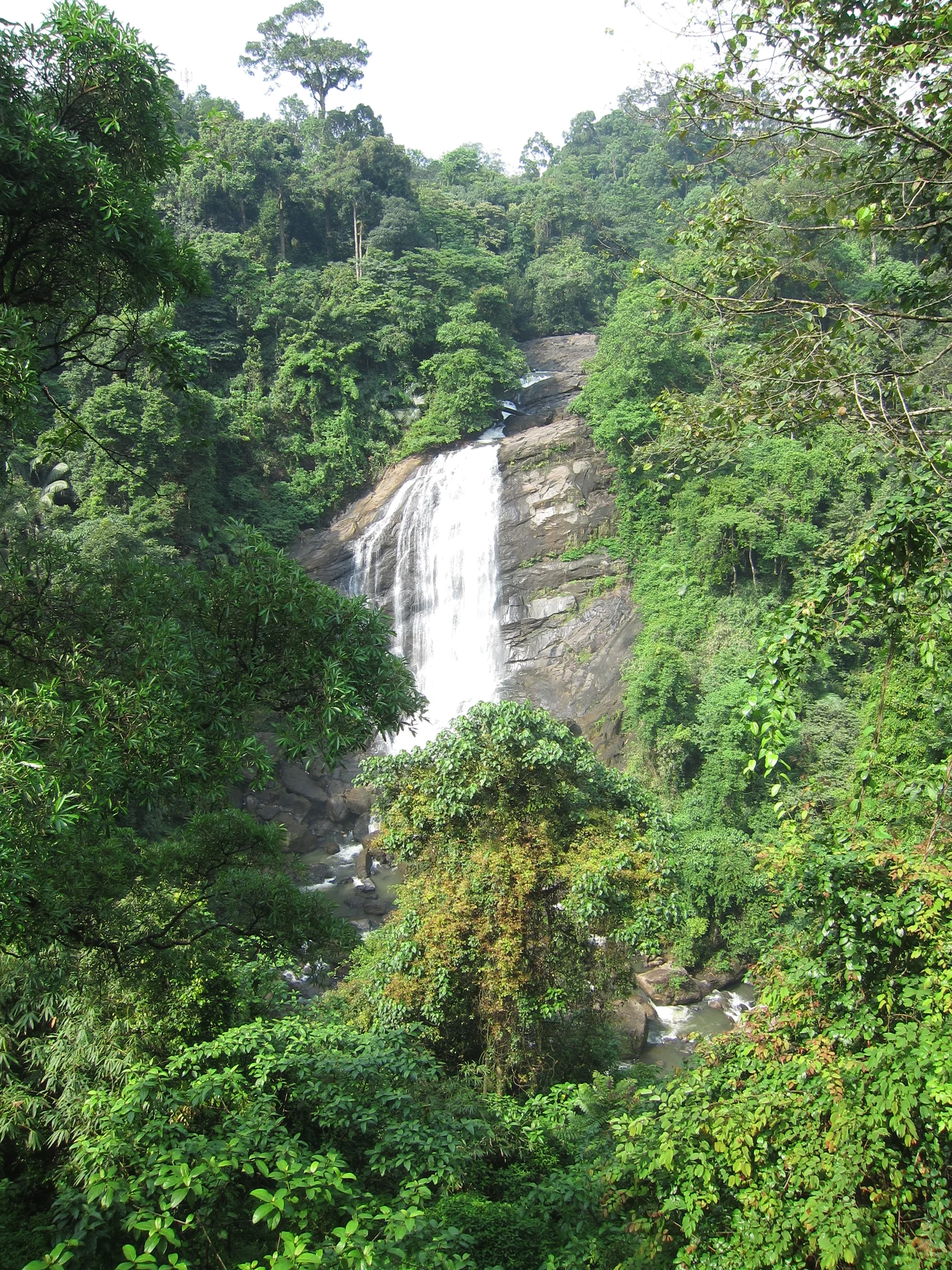
Valara is the forest-framed Deviyar cascade beside NH85 between Neriamangalam and Adimali in Idukki. It is a separate roadside stop from Cheeyappara, with viewing from the road and no assumed access to the waterfall base.

hill stationPeermade

Peermade, also written Peerumedu or Peermede, is a plantation settlement and highland landscape on the Kottayam–Kumily road in Idukki. The map uses the town centre as a visitor base, not a single hilltop attraction.

viewpointPanchalimedu

Meadow and hill-viewpoint landscape near the Peermade/Kuttikkanam side of Idukki.

hill stationKuttikkanam

Peermade-side hill-station and adventure-tourism area, useful for tea estates, pine roads and central high-range routing.
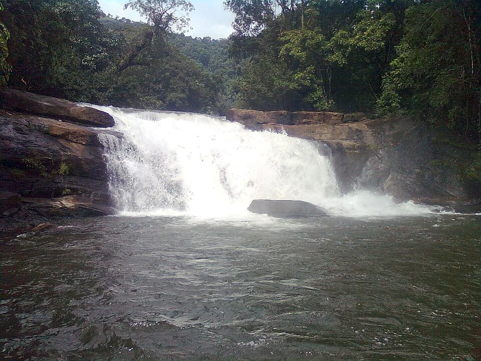
damKulamavu Dam

Kulamavu is KSEB’s gravity dam on Kilivallithodu and one of three dams forming the Idukki reservoir. Visit through the hydel-tourism arrangements; reservoir views do not authorise entry to restricted infrastructure.

waterfallThommankuthu Waterfalls

Seven-step cascade and eco-tourism trekking spot on the Kaliyar river near Thodupuzha, with rock pools, forest paths and a Forest Department eco-tourism trail.

viewpointAnchuruli

The Anchuruli reservoir-side landscape near Kattappana, where the Erattayar diversion tunnel discharges towards Idukki reservoir. Plan an exterior viewpoint visit; the water tunnel is working infrastructure.

wildlifeIdukki Wildlife Sanctuary

Protected forest around the Idukki and Cheruthoni reservoirs near Painavu, with hilly evergreen woodland, elephants and boat-and-trek access arranged through the Forest Department.

damPonmudi Dam

KSEB’s Panniyar-project dam at Konnathadi near Rajakkadu and Vellathooval in Idukki; a reservoir-and-engineering visit, distinct from Ponmudi hill station in Thiruvananthapuram.

townPainavu

The hill headquarters town of Idukki district near the arch dam, a quiet high-range base for Idukki–Cheruthoni dam-side sightseeing and the surrounding reservoir viewpoints.

viewpointParunthumpara

A rock-and-grass viewpoint near Peermade on the Pambanar side of Idukki, overlooking steep wooded ravines; known as Eagle Rock and for the profile-like Tagore Rock formation.

viewpointNadukani Viewpoint

Ghat viewpoint on the Thodupuzha–Puliyanmala road overlooking the Idukki high range, a popular stop for valley views and cool breezes.

Roampedia is commission-free — own or know a stay, eatery, guide or shop near Malankara Dam? Submit public business details for review.

Add a nearby business
Before you go

Malankara Dam — at a glance

Photography: Use the public viewpoints. A photograph of spillway flow does not justify entering the downstream channel, and an aerial official image does not establish permission for visitor drone flying.
Parking: The official account records parking charges at the visitor premises. Use the designated vehicle area and retain the entrance as the pickup point; the published account does not establish a current parking tariff or capacity.

Getting here

How to reach Malankara Dam

  • ✈︎ By air Cochin International Airport is the air approach identified in the official tourism-development account. Continue by road towards Thodupuzha and Muttom.
  • 🚆︎ By train Use a suitable stopping train at Kottayam or an Ernakulam station, then continue by road via the Thodupuzha side. The best rail choice depends on the train and the rest of the journey; neither station is at the dam.
  • 🚗︎ By road Follow the Thodupuzha–Moolamattom road towards Muttom and the signed Malankara Dam visitor entrance. This is the road relationship identified by the Irrigation Department.
  • 🚌︎ By bus Use a service on the Thodupuzha–Moolamattom corridor and establish the stop for the dam approach before boarding. A bus reaching Muttom still leaves the final local approach to the visitor gate.

Getting back

Retain the pickup at the tourism entrance. A separate drive around the reservoir towards Kudayathoor should end at a specifically agreed road stop, not an assumed path back along the water.

Do

Things to do

  • Walk the permitted track and compare the reservoir’s near bank with the wooded projections beyond.
  • Observe the dam’s repeated piers and gates from an accepted public viewpoint.
  • Spend time in the children’s park while keeping the water edge separate from play.
  • Follow the water story from Moolamattom tailwater to Malankara storage and the valley’s canal network.
Facilities

On site

  • The Irrigation Department lists a children’s park and dedicated walking track as available visitor facilities.
  • Kerala Tourism lists toilets and drinking water at the entrance plaza, while the Irrigation Department’s development account still refers to handover rectifications. Ask the counter which facilities are functioning during the visit.
  • Use Muttom or Thodupuzha for a restaurant meal. Proposed cafés, cottages and tourism-village facilities are not treated as confirmed daily services.
Getting around Malankara Dam
From the entrance
Malankara Dam tourism entrance, Muttom, near Thodupuzha
Step-free access
A walking track is documented, but a complete step-free route, accessible toilet and wheelchair access to every viewpoint are not verified. Ask at the entrance which level route is available before committing to stairs or a longer circuit.

Checked 7 September 2026 against source 1source 2. Conditions change and surfaces vary with weather — if step-free access is essential, confirm with the site before you travel.

Practical things near Malankara Dam

These services are listed within about 1.2 km of Malankara Dam. Walking distances follow mapped routes; access and opening hours can change. Other services may be closer but are not included here.

Eat nearby

What to eat in Idukki and Cheruthoni

Thodupuzha and Muttom are the meal bases for this visit. Keep the dam stop attached to the town road plan instead of relying on proposed resort or café facilities.

Explore food in Idukki and Cheruthoni →
01

Thodupuzha lunch

A town restaurant suits the return journey or a break before continuing towards Moolamattom.

02

Muttom tea stop

Choose a roadside establishment with a proper place for the vehicle to wait, outside the dam approach.

03

Early meal before the high ranges

If continuing further into Idukki, finish the main meal in the town itinerary rather than combining a late dam visit with an unplanned restaurant search.

Nearby

What’s near Malankara Dam

viewpointNadukani Viewpoint

Ghat viewpoint on the Thodupuzha–Puliyanmala road overlooking the Idukki high range, a popular stop for valley views and cool breezes.

waterfallThommankuthu Waterfalls

Seven-step cascade and eco-tourism trekking spot on the Kaliyar river near Thodupuzha, with rock pools, forest paths and a Forest Department eco-tourism trail.

damKulamavu Dam

Kulamavu is KSEB’s gravity dam on Kilivallithodu and one of three dams forming the Idukki reservoir. Visit through the hydel-tourism arrangements; reservoir views do not authorise entry to restricted infrastructure.

townPainavu

The hill headquarters town of Idukki district near the arch dam, a quiet high-range base for Idukki–Cheruthoni dam-side sightseeing and the surrounding reservoir viewpoints.

viewpointHill View Park

The DTPC’s eight-acre garden and viewing park on the Vellappara shoulder above the Idukki reservoir, about 350 ft above the water. It is the dependable way to see the Idukki arch dam — strung between Kuravanmala and Kurathimala, roughly 1.6 km east-north-east — because the dam crest itself is shut most of the year and this is open every day from 08:00 to 19:00.

damCheruthoni Dam

The 138-metre concrete gravity dam a kilometre west of the Idukki arch dam, carrying the five radial gates that are the only spillway for the whole Idukki reservoir — the gates opened in a south-west monsoon for the first time on 9 August 2018.

churchKurisumala

The pilgrim hill above Vagamon — a bare rock dome climbed by a 1.2 km path lined with the Stations of the Cross to St Thomas Church on the summit, and, 818 m away and lower down, the separate Cistercian monastery of Kurisumala Ashram, founded in 1958. Most descriptions run the two together; they are different places with different approaches and different people in charge.

waterfallValara Waterfalls

Valara is the forest-framed Deviyar cascade beside NH85 between Neriamangalam and Adimali in Idukki. It is a separate roadside stop from Cheeyappara, with viewing from the road and no assumed access to the waterfall base.

hill stationVagamon

Rolling meadows, pine patches and viewpoints on the Idukki/Kottayam highland edge.

waterfallCheeyappara Waterfalls

Waterfall on the Kochi-Munnar road, commonly paired with Valara as a high-range arrival stop.

damIdukki Arch Dam

Major hydroelectric dam and one of Kerala’s landmark engineering sites.

wildlifeIdukki Wildlife Sanctuary

Protected forest around the Idukki and Cheruthoni reservoirs near Painavu, with hilly evergreen woodland, elephants and boat-and-trek access arranged through the Forest Department.

12 detailed place guides in Idukki and Cheruthoni →

Road and walking figures are route estimates, with travel times dependent on access, traffic and conditions. Figures marked “straight line” show direct separation and do not describe a road or walking route. Fare estimates use Kerala’s 26 April 2022 auto/taxi notification and exclude waiting, night and applicable one-way surcharges. Confirm the current meter or operator quote before travelling. Routing: © openrouteservice.org by HeiGIT | Map data © OpenStreetMap contributors
Nearby toilets, pharmacies, ATMs, seating and vets are community-mapped and may be incomplete or out of date. Map data © OpenStreetMap contributors | Walking times © openrouteservice.org by HeiGIT
On the map

Where Malankara Dam is

Good to know

Malankara Dam — frequently asked

Where is Malankara Dam in Idukki?

It is at Muttom in Thodupuzha taluk, near the Thodupuzha–Moolamattom road. Thodupuzha is the practical nearby town; Cheruthoni is a separate part of the district.

Who owns Malankara Dam?

The dam and reservoir are owned and operated by Kerala’s Irrigation Department as part of the Muvattupuzha Valley Irrigation Project. Connected hydel generation does not make the visitor site a KSEB dam-tour booking.

Which river is Malankara Dam built across?

The Thodupuzha River, a tributary of the Muvattupuzha River. The reservoir also receives tailrace discharge from the Idukki power station at Moolamattom.

Is Malankara Dam open to visitors?

The Irrigation Department describes the visitor premises as open on all days. Use the entrance counter for the day’s permitted route and closing time; operating restrictions can apply to parts of the structure.

What can children do at Malankara?

The department lists a children’s park and walking track. Keep play-area time separate from the water’s edge and follow the condition and age guidance of the equipment in use.

Does admission include boating at Malankara?

Do not assume it. Kerala Tourism mentions boating, but a current operator, departure schedule and included ticket are not established here. Confirm any separately offered service before paying or planning the day around it.

Are Kudayathoor reservoir views inside the dam park?

Kudayathoor is a different approach to the wider reservoir landscape. Photographs from there should not be used as directions to the Malankara Dam tourism gate.

Is Malankara the same as Malampuzha Dam?

No. Malankara is near Thodupuzha in Idukki and belongs to the Muvattupuzha Valley Irrigation Project. Malampuzha Dam and Garden is in Palakkad.

Can I walk over all the dam structures?

Stay within the route opened to visitors. Service stairs, gate platforms, the toe powerhouse and downstream channel are operational areas, not automatically part of a park visit.

When is the best time to visit Malankara Dam?

The Irrigation Department recommends November–February for the visitor landscape. Use daylight for the walking area and choose the actual weather over a seasonal label: strong rain, reservoir releases or a closure notice can change access. A sunset photograph does not establish the entrance counter’s closing time.

How do I reach Malankara Dam?

Arrive at the Malankara Dam tourism entrance in Muttom. A photograph taken elsewhere around the reservoir, including Kudayathoor, does not identify this gate. Begin at the entrance counter and establish which paths and viewpoints are open that day. Follow the public walking route rather than a service stair or operating platform visible on the structure. For a family visit, combine the permitted reservoir walk with the children’s park. Treat boating or any separately advertised activity as a separate service to verify at the site, not an automatic inclusion in admission.

How much time do I need for Malankara Dam?

Allow about one to two hours as a planning estimate for the public walking area, reservoir views and a children’s-park stop. A longer meal break belongs in Muttom or Thodupuzha, and a separate reservoir-side drive needs its own time.

What else is near Malankara Dam?

Nearby you can pair Nadukani Viewpoint, Thommankuthu Waterfalls, Kulamavu Dam, Painavu.

What should I know before visiting Malankara Dam?

Keep away from the downstream channel and spillway outflow. A calm reservoir surface does not describe the force of water released through a gate. Use the permitted path around the visitor area and supervise children beside railings and open water. Play equipment is separate from the reservoir bank. Do not descend service stairs, cross barriers or walk onto exposed islands. The presence of a stair or a dry strip of land is not a public access sign.

Read before you go

Malankara Dam guides, stories & itineraries

Stories & history of Malankara Dam

Written about Malankara Dam itself — its history, its legends and the arguments about them.

Around Idukki and Cheruthoni

These reads cover nearby destinations, each with its own arrival point and visit arrangements.

Kerala-wide guides & itineraries

Route-level itineraries and practical guides for the rest of Kerala.

See all 153 Idukki guides & stories →