What to expect
Highlights
- Waterfall viewpoint at Thommankuthu Waterfalls
- Forest-edge scenery
- Short walks, food stops or nearby viewpoints where available
Seven-step cascade and eco-tourism trekking spot on the Kaliyar river near Thodupuzha, with rock pools, forest paths and a Forest Department eco-tourism trail.
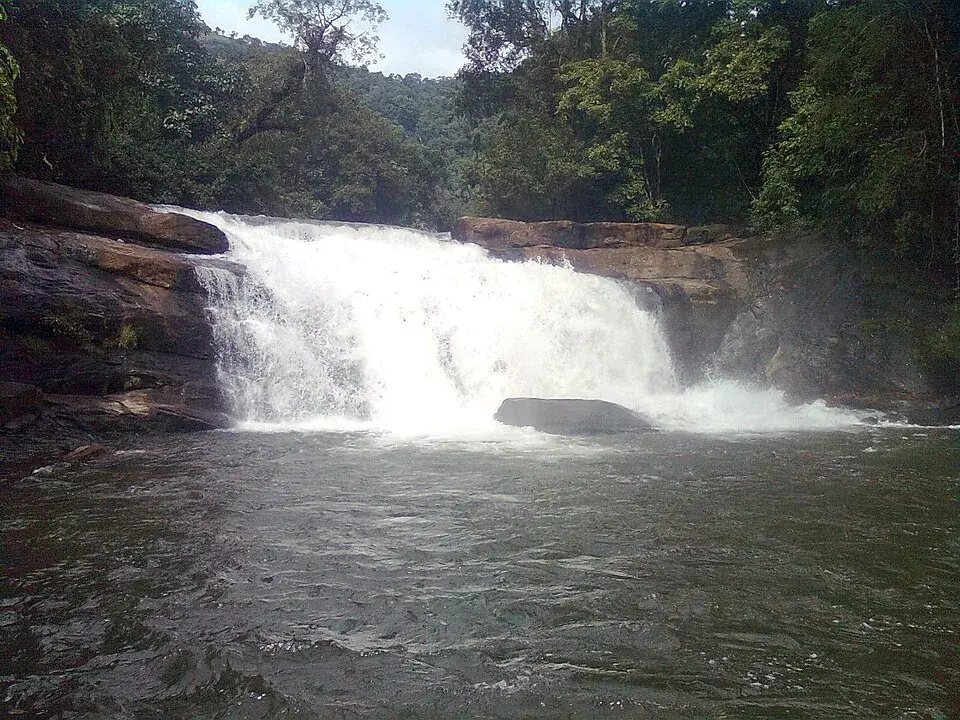
Roughly 18 km inland from Thodupuzha, where the plains of Idukki crumple upward into the first green ridges of the Western Ghats, the Kaliyar stream throws itself down the hillside in a staircase of white water. Thommankuthu is best known for its famous seven-step cascade — seven tiers, each with its own plunge pool — but the falls actually string on much further, a series of some twelve drops scattered over about five kilometres of forest. It is one of Kerala’s marquee eco-tourism sites: a place for trekkers, for photographs, and for a hard, honest respect for moving water.
The approach tells you what kind of place this is. You leave the tar road, cross into the reserve, and the light changes — canopy closing overhead, the roar arriving before the water does. The first sight is the showpiece: a broad, tiered cascade tumbling down dark rock in seven distinct steps, each ledge catching the stream and passing it to the next, each pausing in a green-black pool before the next drop. On a full monsoon day the whole staircase runs white and the ground trembles a little underfoot.
But the seven famous steps are only the beginning. Follow the guided trail upward and the falls keep coming — a chain of cascades, chutes and pools said to number around a dozen, spread over roughly five kilometres of hill forest. Some drops are gentle sheets over slabs; others are sudden, steep plunges into deep, cold basins the colour of strong tea. The higher you climb, the quieter and wilder it gets, the crowds thinning until it is mostly you, the water, and the trees.
This is the Kaliyar country — the stream that feeds the falls, running out of evergreen and semi-evergreen forest on the southern flank of the Western Ghats. The trek that laces it all together, run under the local eco-tourism setup, is often quoted at around twelve kilometres of forest path, threading past rock overhangs and small caves, oddly shaped trees, low branches, and glimpses of the tribal hamlets that have always known this hill. It is a proper day out, not a five-minute stop.
For all its beauty, Thommankuthu wears its danger openly. The pools that look so inviting are deep, the rocks around them slick with algae and spray, and the current at the lip of a drop gives no second chances. Local accounts speak of a grim tally of lives lost here over the years — boards at the viewpoints are said to record the deaths that have happened at each — and during the peak monsoon months bathing and river-crossing are simply banned (confirm locally). This is not fear-mongering; it is the price of admission to a live, unfenced mountain stream.
And yet, treated with respect, it rewards you. Sit on a warm slab in the January sun with the roar filling your ears and mist drifting off the steps; watch the forest come alive with birdcall at dawn; feel your legs burn on the climb and your breath catch at the top. Thommankuthu is the Ghats in miniature — water, rock and jungle stacked one on another — and it asks only that you read its signs, stay where you are told, and let the water impress you from a safe distance.
In the end the falls belong less to the guidebooks than to the sound they make: that continuous, layered roar of seven, then twelve, drops all falling at once, a noise you carry back down the trail long after the last pool is out of sight.
Thommankuthu sits in the forest belt of Thodupuzha taluk, in the transitional hill country where Idukki climbs from lowland rubber and spice gardens into the true Western Ghats. For generations this was tribal and forest land, worked and walked by hill communities long before it appeared on any tourist map, and the stream and its steps were part of daily life rather than a destination.
The name itself carries a story, and it is told locally as a legend rather than documented fact. By that account the falls are named for a man called Thomman — remembered variously as a tribal leader or local hunter — who is said to have drowned, or been swept away, while trying to cross the stream at the falls; thereafter the place was known as Thommankuthu, ‘Thomman’s falls’, from kuthu, the local word for a waterfall or plunge (framed as legend — verify locally). Whether or not the man was real, the name has stuck, and it doubles as the site’s oldest safety warning.
In the modern era the falls were developed as one of Kerala’s eco-tourism showpieces, managed through the Forest Department and the District Tourism Promotion Council (DTPC) framework for Idukki, which oversee ticketing, guided trekking and the marked viewpoints (confirm current arrangements locally). The pitch has always been low-impact adventure — trek, look, photograph — rather than heavy construction, keeping the surrounding forest largely intact.
That development came with hard lessons. Because the falls are a genuine wild watercourse and not a landscaped pool, the authorities have layered on rules over the years — restricted access at dangerous points, forest-guard monitoring, viewpoint boards, and seasonal bans on bathing and river-crossing during the heaviest monsoon flow — in response to repeated fatalities (confirm locally).
Today Thommankuthu holds a settled place on the Idukki circuit, often paired with Thodupuzha, Malankara Dam and the wider Idukki high-range, and marketed as a monsoon-and-early-winter cascade for trekkers. The balance it strikes — open access to a beautiful, dangerous piece of the Ghats — is the same tension its name has carried all along.
The seven-step cascade is the headline, and it delivers: a full tiered staircase of falling water, each step with its own pool, best seen thundering in and just after the monsoon — one of the most photogenic waterfalls in the Idukki lowlands.
It is far more than a single viewpoint. A chain of around a dozen falls strung over roughly five kilometres of forest means the reward keeps unfolding as you climb, from the crowded lower steps to quiet, wild upper pools.
It is a real trek, not a car-park photo stop. The guided forest trail — often quoted near twelve kilometres — takes you past caves, overhangs and tribal-hamlet country, making this a proper half-day adventure for anyone with reasonable fitness (confirm the current route and distance locally).
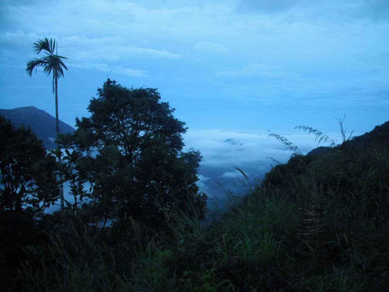
The setting is classic Western Ghats: evergreen forest, birdsong, cool spray and the constant roar of the Kaliyar stream, all within an easy drive of Thodupuzha and well placed on a wider Idukki itinerary.
As a managed eco-tourism site with ticketing, guides and marked viewpoints, it offers a way to experience a genuinely wild cascade with at least some structure and guidance — a good introduction to the high-range for first-timers.
And for the adventurous it is a spot to feel the raw scale of monsoon Kerala safely — provided you treat the water with the caution it demands and stay strictly within permitted zones.
Road km to Idukki; ghat roads and traffic vary — allow extra.
Post-monsoon is usually strongest; dry months are easier for access but water volume may be lower.
Live forecast loads in your browser.
Sun and moon are calculated for this location and shown in IST. Photography windows are the hour around sunrise and sunset; the sunset bearing is degrees clockwise from true north. Moon phase is accurate to about half a day.
These are official or public-sector eco offerings that match this place, town or forest destination. Confirm availability, permits, tariffs and reporting times with the official operator before travel.

Forest and reservoir wildlife sanctuary around the Idukki-Cheruthoni dam landscape.
Official source →
Idukki reservoir viewpoint and pilgrimage hill, connected with Kerala Forest Ecotourism listings.
Official source →Browse listed stays, food, activities, sights, shops and rentals around Thommankuthu Waterfalls. Check each listing’s locality and contact the business directly for current arrangements.
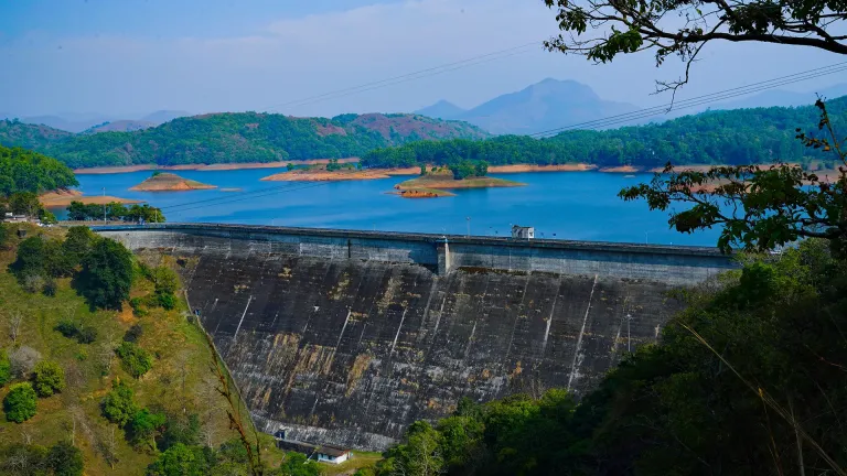
Dam and reservoir viewpoint in Idukki and Cheruthoni. Kulamavu, Idukki district, Kerala · Kulamavu, Dam, Idukki Reservoir.
Wildlife sanctuary in Idukki and Cheruthoni. Idukki Wildlife Sanctuary, Idukki district, Kerala · Idukki, Wildlife sanctuary, Cheruthoni.
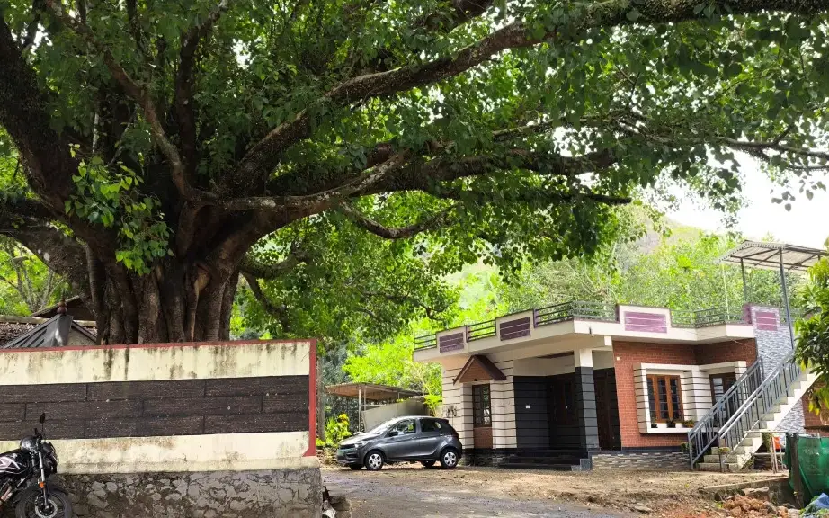
Panchami Homestay Cheruthoni is a Kerala Tourism-listed Silver House homestay at Idukki Colony P.O., Alinchuvadu, useful for travellers comparing simple Cheruthoni/Painavu stays with homely Kerala food, Wi-fi, car hire, parking and Idukki reservoir route access. Homestay tariff · Cheruthoni, Idukki Colony, Homestay.
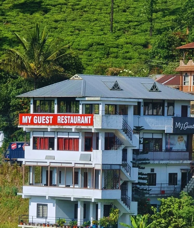
Kuttikkanam restaurant in Idukki and Cheruthoni. My Guest Restaurant, NH-183, Theni By-Pass, Pambanar, Peerumade, Idukki, Kerala 685531 · Restaurant menu pricing · Kuttikkanam, Pambanar, Restaurant.
Kerala Tourism destination record for Peermade Ayurveda, Panchakarma, herbal medicine, yoga and wellness stays.
Kerala Tourism-certified serviced villa at Parunthumpara with infinity pool, food and activity evidence.
Elam Villa Parunthumpara Peermade is a Kerala Tourism-listed serviced villa record for travellers comparing Parunthumpara, Pambanar and Peerumedu stays with direct phone, email and website evidence. Parunthumpara, Peermade, Serviced villa.
Kerala Tourism-listed plantation retreat at Murinjapuzha with restaurant, pool and estate-walk evidence.
Kerala Tourism-listed Ladrum Estate homestay with stream, food, Wi-fi, car-hire and activity evidence.
Kerala Tourism-listed serviced villa near Pambanar and Peermade, surrounded by tea and cardamom plantations.
Government Yathri Nivas eco lodge at the Peerumedu Government Guest House compound. A simple budget Kerala Tourism-run lodge base for Peermade and Kuttikkanam.
Government Yathri Nivas eco lodge behind DTPC Idukki Park near IDA Ground, Painavu. A budget Kerala Tourism-run lodge base for Cheruthoni, the Idukki Arch Dam and Kalvari Mount.
Kuttikkanam restaurant in Idukki and Cheruthoni. Agincourt, Kuttikkanam, Peerumedu, Idukki, Kerala 685531 · Kuttikkanam, Restaurant, Peerumedu.
Jacobs Heaven is a Kerala Tourism-listed serviced villa at Kuttikkanam. The villa has an Ayurveda centre, homely Kerala food, Wi-Fi and online reservation for a quiet high-range stay.
Kerala Tourism-listed Kuttikkanam homestay with address, phone, email, food and Wi-fi evidence. MBC College Road, Pallikkunnu P.O., Peerumade, Kuttikanam, Idukki, Kerala 685531 · Budget to mid-range homestay · Kuttikkanam, Peerumade, Homestay.
Monsoon Mist Kuttikkanam is a Kerala Tourism-listed homestay on Dreamland Road, useful for travellers comparing private-suite stays with kitchen access, Western Ghats views, rooftop pool context and Peermade high-range routes. Premium homestay suites · Kuttikkanam, Peermade, Homestay.
Misty Mountain Plantation Resort sits at Kuttikanam, Peermade. The Kerala Tourism-listed plantation resort offers a restaurant, tea-estate experiences and estate walks across the high-range plantations.
Hotel restaurant in Idukki and Cheruthoni. Igloo Heritage Resorts, Cheruthoni, Idukki district, Kerala · Hotel restaurant.
Cheruthoni resort and hotel in Idukki and Cheruthoni. Idukki-Adimali Road, Cheruthoni, Kerala 685602 · Cheruthoni, Idukki, Resort.
Kerala Hydel Tourism source for the Idukki Arch Dam attraction. Idukki Arch Dam, Hydel Tourism, Cheruthoni.
DTPC Idukki source for Cheruthoni Dam near the Idukki Arch Dam reservoir system. Cheruthoni, Dam, Idukki.
Book with the place itself. India’s cyber-crime coordination centre warned in April 2025 that convincing copies of hotel and pilgrimage booking sites are being pushed through sponsored search and social ads, taking payment for rooms the property never hears about. Use the contact and source details on each profile to confirm the exact business and booking channel. A directory entry or map pin alone does not establish an operator’s identity or current availability. Roampedia takes no commission and does not collect booking payments. If a booking page reached you through an ad, check the address bar against the property’s own site before you pay. Fraud can be reported on cybercrime.gov.in or on 1930.
Find food, accommodation and activities across Idukki and Cheruthoni. Browse the guides for places to eat, stay and explore along your route.
20 more places around Idukki and Cheruthoni. Open a guide to plan the visit and onward journey.
A Peerumedu ridge walk through plantation and high-range scenery, with access dependent on the chosen trail, land permission and current weather.
The long pedestrian suspension bridge above the Idukki reservoir at Ayyappancoil, valued for water and hill views as well as the crossing itself.
A secluded waterfall below Kuttikkanam whose approach has depended on estate tracks and regulated jeep routes; current legal access must be established first.
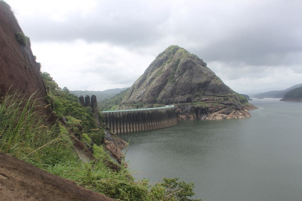
43.9 km · 50 min drive
Major hydroelectric dam and one of Kerala’s landmark engineering sites.
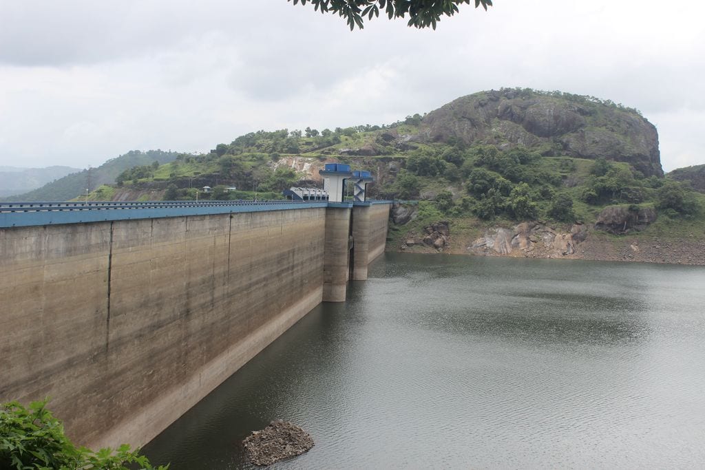
43.0 km · 50 min drive
The 138-metre concrete gravity dam a kilometre west of the Idukki arch dam, carrying the five radial gates that are the only spillway for the whole Idukki reservoir — the gates opened in a south-west monsoon for the first time on 9 August 2018.
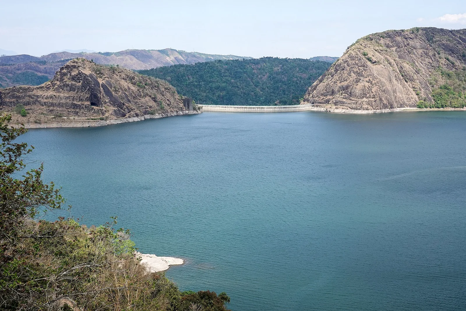
43.1 km · 50 min drive
The DTPC’s eight-acre garden and viewing park on the Vellappara shoulder above the Idukki reservoir, about 350 ft above the water. It is the dependable way to see the Idukki arch dam — strung between Kuravanmala and Kurathimala, roughly 1.6 km east-north-east — because the dam crest itself is shut most of the year and this is open every day from 08:00 to 19:00.
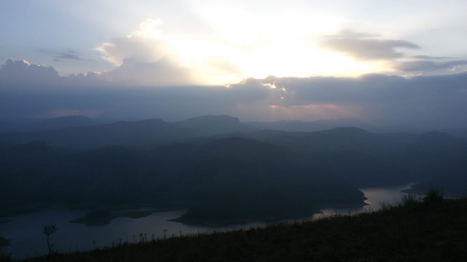
Reservoir-view hill point near Idukki and Cheruthoni, useful for scenic drives, photos and central high-range itineraries.
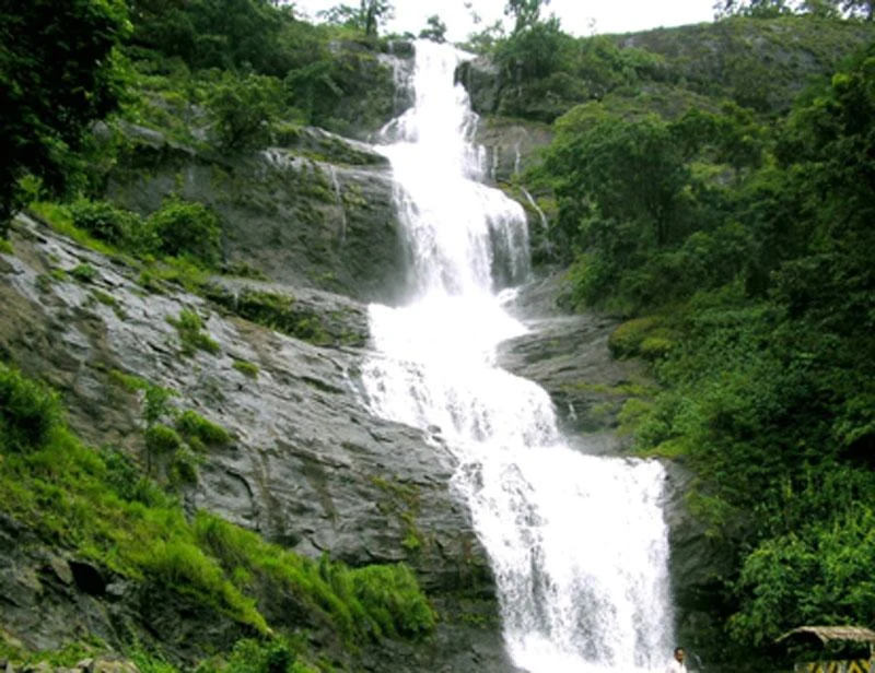
40.6 km · 49 min drive
Waterfall on the Kochi-Munnar road, commonly paired with Valara as a high-range arrival stop.
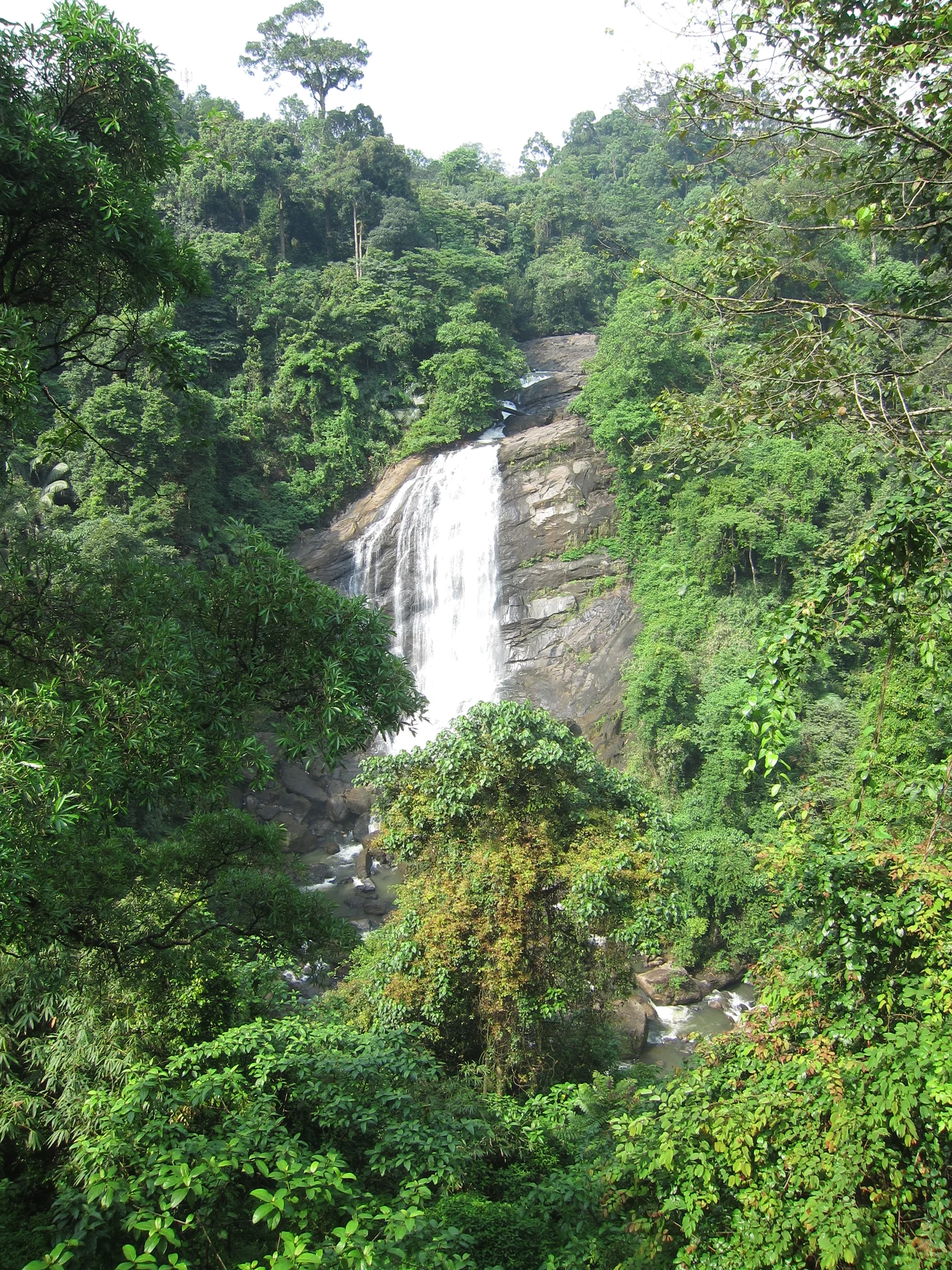
42.2 km · 52 min drive
Valara is the forest-framed Deviyar cascade beside NH85 between Neriamangalam and Adimali in Idukki. It is a separate roadside stop from Cheeyappara, with viewing from the road and no assumed access to the waterfall base.

Peermade, also written Peerumedu or Peermede, is a plantation settlement and highland landscape on the Kottayam–Kumily road in Idukki. The map uses the town centre as a visitor base, not a single hilltop attraction.

Meadow and hill-viewpoint landscape near the Peermade/Kuttikkanam side of Idukki.

Peermade-side hill-station and adventure-tourism area, useful for tea estates, pine roads and central high-range routing.
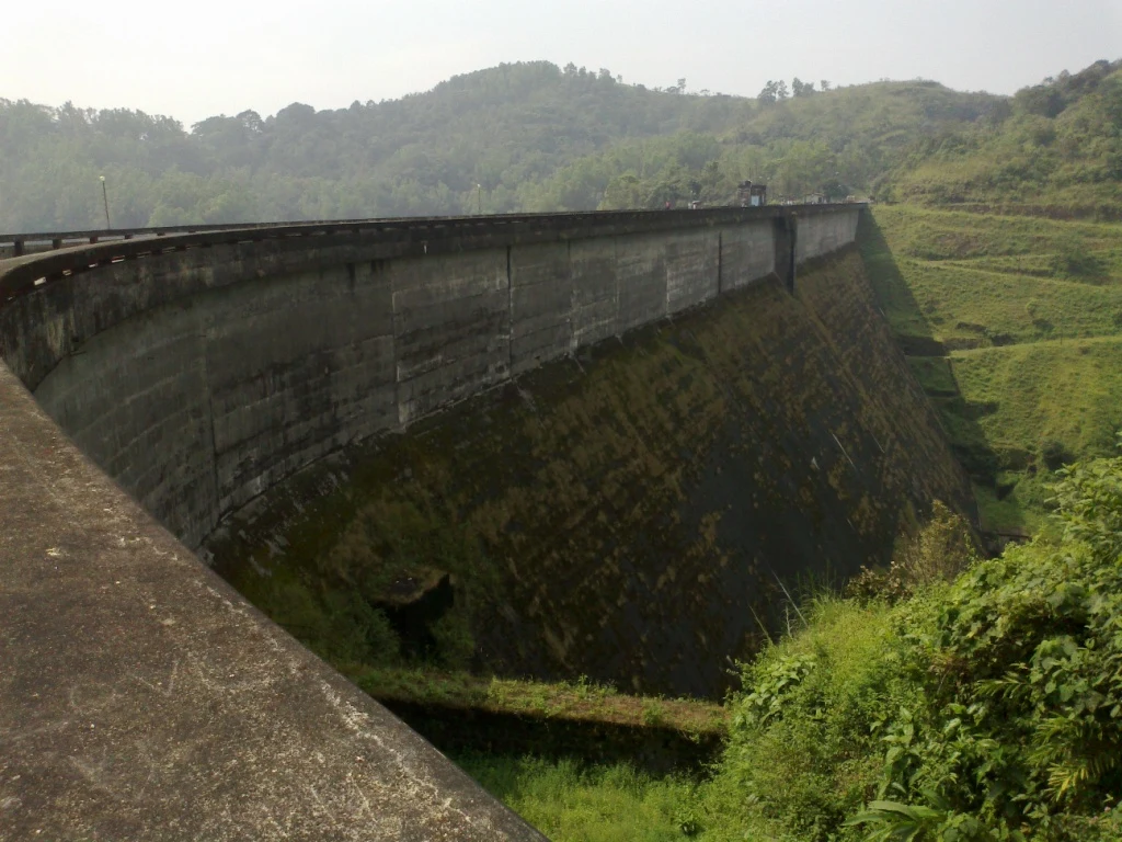
31.7 km · 35 min drive
Kulamavu is KSEB’s gravity dam on Kilivallithodu and one of three dams forming the Idukki reservoir. Visit through the hydel-tourism arrangements; reservoir views do not authorise entry to restricted infrastructure.
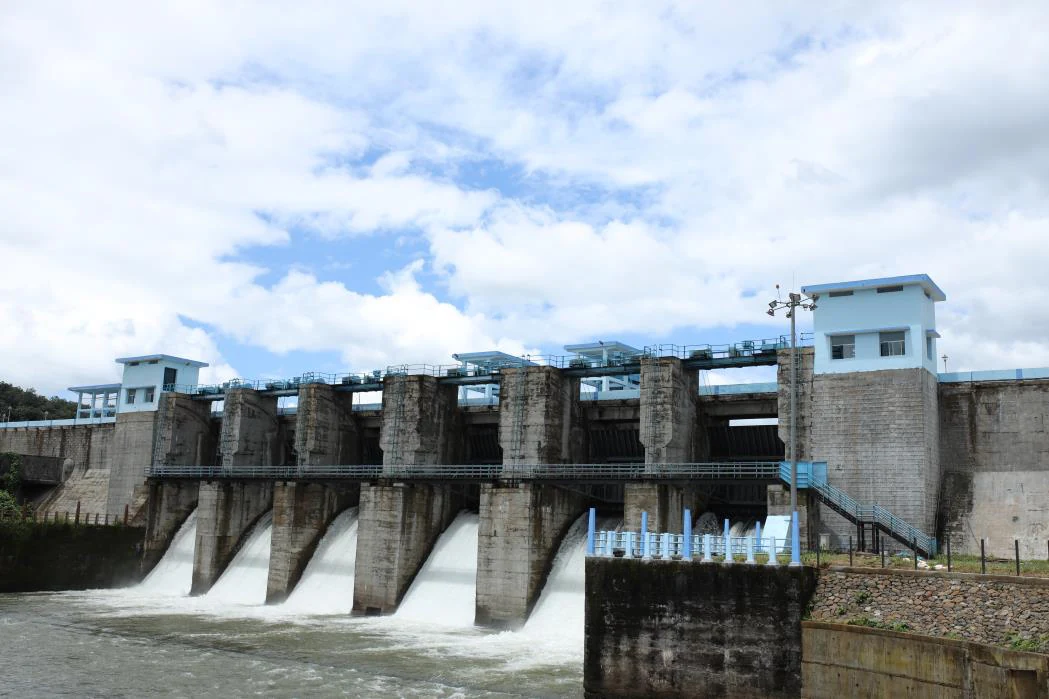
23.1 km · 30 min drive
An Irrigation Department dam and reservoir at Muttom near Thodupuzha, storing Thodupuzha River runoff and Idukki power-station tailwater for the Muvattupuzha Valley Irrigation Project; the visitor park has its own permitted areas.
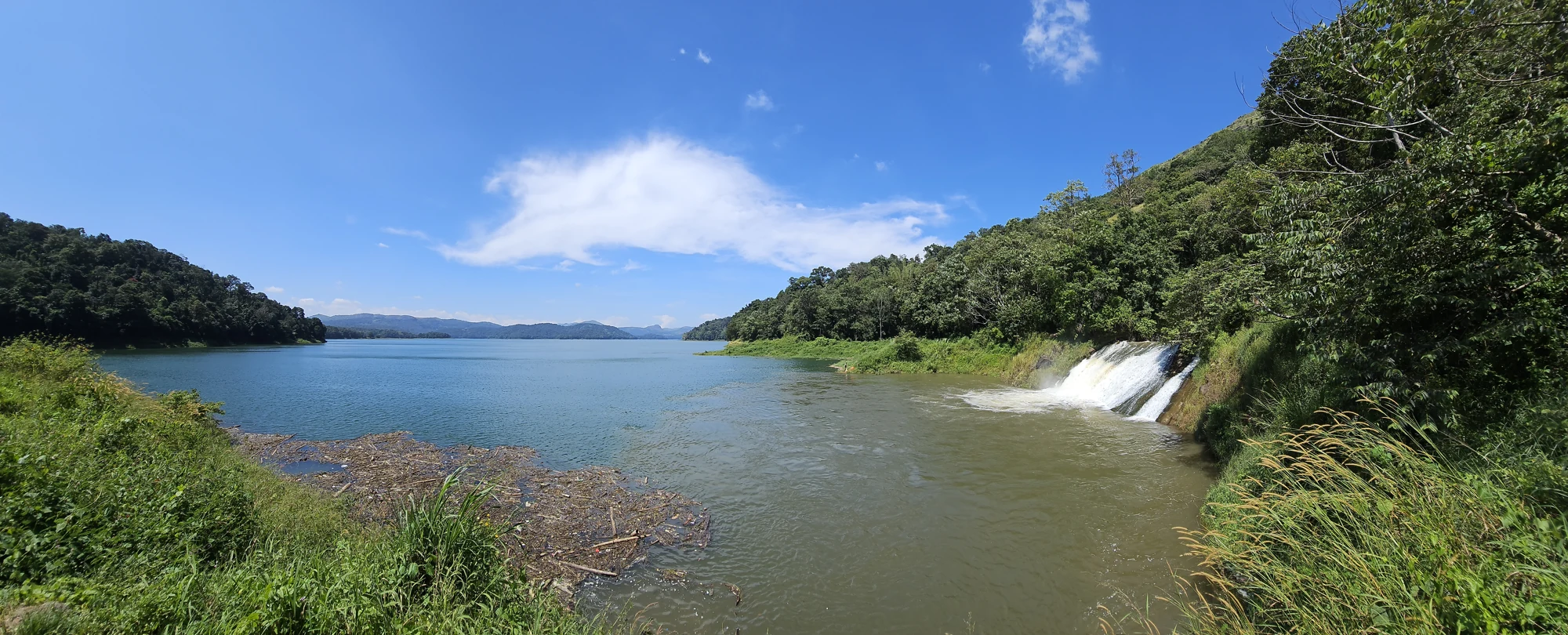
The Anchuruli reservoir-side landscape near Kattappana, where the Erattayar diversion tunnel discharges towards Idukki reservoir. Plan an exterior viewpoint visit; the water tunnel is working infrastructure.

Protected forest around the Idukki and Cheruthoni reservoirs near Painavu, with hilly evergreen woodland, elephants and boat-and-trek access arranged through the Forest Department.
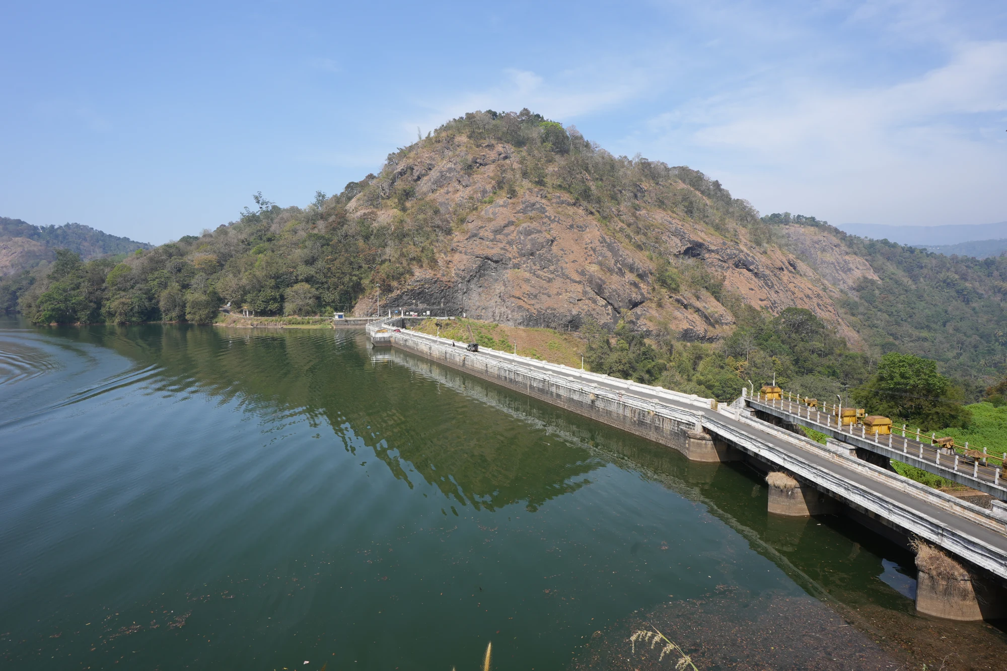
44.4 km · 55 min drive
KSEB’s Panniyar-project dam at Konnathadi near Rajakkadu and Vellathooval in Idukki; a reservoir-and-engineering visit, distinct from Ponmudi hill station in Thiruvananthapuram.
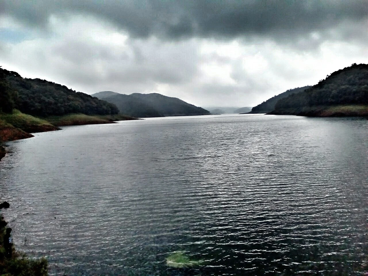
44.2 km · 47 min drive
The hill headquarters town of Idukki district near the arch dam, a quiet high-range base for Idukki–Cheruthoni dam-side sightseeing and the surrounding reservoir viewpoints.
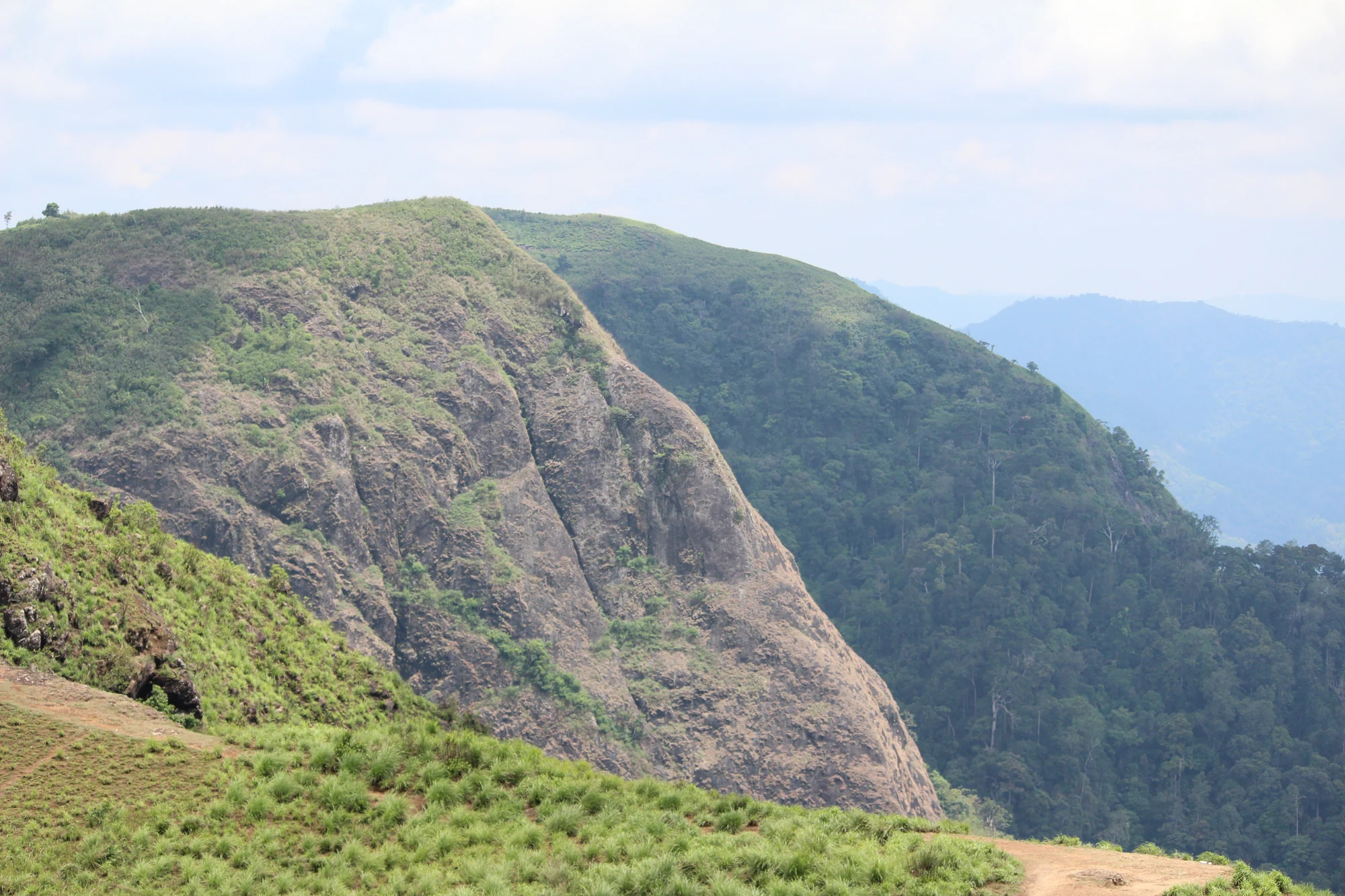
A rock-and-grass viewpoint near Peermade on the Pambanar side of Idukki, overlooking steep wooded ravines; known as Eagle Rock and for the profile-like Tagore Rock formation.
37.5 km · 41 min drive
Ghat viewpoint on the Thodupuzha–Puliyanmala road overlooking the Idukki high range, a popular stop for valley views and cool breezes.
Roampedia is commission-free — own or know a stay, eatery, guide or shop near Thommankuthu Waterfalls? Submit public business details for review.
Add a nearby businessEntry: A modest entry ticket applies — commonly quoted at around ₹10 for adults and ₹5 for children, with possible extra charges for guided trekking, parking or cameras.
Dress code: No formal dress code, but this is a forest-and-water trek: wear sturdy shoes or trekking sandals with grip, quick-dry clothing, and carry a change of clothes; a rain layer is wise in monsoon. Modest, practical dress is appropriate.
Photography: A camera-friendly cascade — carry waterproofing for spray and rain, and secure straps on slippery rock. Any camera or drone fees or restrictions should be confirmed with the forest/DTPC staff on site (confirm locally).
If you are travelling by bus or ferry, check the return service with the operator before setting out. Leave time to reach the stop or jetty after your visit.
Ask at the bus stand for the time of the last service back, not the next one. If you miss it, an auto or app cab is the fallback — agree the fare before you get in.
If you need step-free access, contact the site before travelling. Ask about a level entrance, steps along the route, the nearest drop-off point, seating and accessible toilets.
Published emergency and visitor-assistance contacts. For an immediate emergency, call 112. Shared Kerala contact sources checked 4 October 2026; publication does not establish a tested live response.
An Irrigation Department dam and reservoir at Muttom near Thodupuzha, storing Thodupuzha River runoff and Idukki power-station tailwater for the Muvattupuzha Valley Irrigation Project; the visitor park has its own permitted areas.
23.1 km · 30 min drive
Waterfall area near Munnar commonly used for short scenic drives and monsoon views.
24.6 km · straight line
The Muthirapuzha spread sideways over bare rock at 796 m, below the tailrace of Pallivasal — the first hydroelectric station Kerala built. Free, unmanaged and very quiet, down about a kilometre of steep narrow lane. ⚠ Not the Chinnakanal falls that Kerala Tourism describes under this name, 21 km east.
25.4 km · straight lineKulamavu is KSEB’s gravity dam on Kilivallithodu and one of three dams forming the Idukki reservoir. Visit through the hydel-tourism arrangements; reservoir views do not authorise entry to restricted infrastructure.
31.7 km · 35 min driveGhat viewpoint on the Thodupuzha–Puliyanmala road overlooking the Idukki high range, a popular stop for valley views and cool breezes.
37.5 km · 41 min driveWaterfall on the Kochi-Munnar road, commonly paired with Valara as a high-range arrival stop.
40.6 km · 49 min driveValara is the forest-framed Deviyar cascade beside NH85 between Neriamangalam and Adimali in Idukki. It is a separate roadside stop from Cheeyappara, with viewing from the road and no assumed access to the waterfall base.
42.2 km · 52 min driveThe 138-metre concrete gravity dam a kilometre west of the Idukki arch dam, carrying the five radial gates that are the only spillway for the whole Idukki reservoir — the gates opened in a south-west monsoon for the first time on 9 August 2018.
43.0 km · 50 min driveThe DTPC’s eight-acre garden and viewing park on the Vellappara shoulder above the Idukki reservoir, about 350 ft above the water. It is the dependable way to see the Idukki arch dam — strung between Kuravanmala and Kurathimala, roughly 1.6 km east-north-east — because the dam crest itself is shut most of the year and this is open every day from 08:00 to 19:00.
43.1 km · 50 min driveMajor hydroelectric dam and one of Kerala’s landmark engineering sites.
43.9 km · 50 min driveThe hill headquarters town of Idukki district near the arch dam, a quiet high-range base for Idukki–Cheruthoni dam-side sightseeing and the surrounding reservoir viewpoints.
44.2 km · 47 min driveKSEB’s Panniyar-project dam at Konnathadi near Rajakkadu and Vellathooval in Idukki; a reservoir-and-engineering visit, distinct from Ponmudi hill station in Thiruvananthapuram.
44.4 km · 55 min driveRoad and walking figures are route estimates, with travel times dependent on access, traffic and conditions. Figures marked “straight line” show direct separation and do not describe a road or walking route. Fare estimates use Kerala’s 26 April 2022 auto/taxi notification and exclude waiting, night and applicable one-way surcharges. Confirm the current meter or operator quote before travelling. Routing: © openrouteservice.org by HeiGIT | Map data © OpenStreetMap contributors
By local legend the falls are named after a man called Thomman — remembered as a tribal leader or hunter — who is said to have drowned or been swept away while crossing the stream here, giving the name Thommankuthu, ‘Thomman’s falls’ (kuthu meaning waterfall or plunge). It is told as folklore rather than documented history (verify locally).
The famous section is a seven-step cascade, with a pool at each step. Beyond that, Thommankuthu continues as a series of around twelve falls spread over roughly five kilometres of forest, so the total count depends on how far up the trail you go.
Treat it with serious caution. The pools are deep and the rocks slippery, and a number of drownings have occurred here over the years, with boards said to record deaths at the viewpoints. Swimming may be possible only in permitted lower pools during the drier season; bathing and river-crossing are typically banned in the peak monsoon months. Only enter water where explicitly allowed, follow all DTPC and forest signage and guards, and never go near the lip of a drop (confirm current rules locally).
The full guided forest trail is often quoted at around twelve kilometres through forest, caves and hill country, making it a half-day outing needing reasonable fitness and proper footwear. Guided trekking is arranged through the eco-tourism setup; check availability, timing and any advance booking on arrival (confirm locally).
The falls are at their most spectacular during and just after the monsoon (roughly June to September, into the post-monsoon months), when every step runs full. However, peak-monsoon flow also brings the greatest danger and seasonal bathing bans. For safer water access and easier trekking, the drier, cooler post-monsoon and winter months are more comfortable.
It is roughly 18–21 km from Thodupuzha (figures vary by route). Most visitors drive or take a bus to Thodupuzha and then continue by local bus, auto or jeep to the falls via the Thodupuzha–Thommankuthu road (confirm current distances and transport locally).
Post-monsoon is usually strongest; dry months are easier for access but water volume may be lower.
Entry: A modest entry ticket applies — commonly quoted at around ₹10 for adults and ₹5 for children, with possible extra charges for guided trekking, parking or cameras. Timings: Commonly listed as around 8.00 am to 5.00 pm daily, with last entry and trekking start earlier in the day.
Base yourself in Idukki and Cheruthoni or a nearby town in Idukki, then confirm the last-mile route locally before leaving. Visit early and check whether the falls are open; waterfall access can close quickly in heavy rain. If the visit depends on forest, temple, boat, ferry, weather or seasonal access, check the official/local rule on the day before travel.
1 to 3 hours.
Nearby you can pair Malankara Dam (23.1 km, route estimate), Attukad Waterfalls (24.6 km, approximate straight-line separation), Power House Waterfalls (25.4 km, approximate straight-line separation), Kulamavu Dam (31.7 km, route estimate).
Do not enter restricted pools or climb wet rocks. Flash-flood risk rises during heavy rain.
We have not published a story about Thommankuthu Waterfalls itself yet. These cover Idukki and Cheruthoni and the wider district, with separate journeys between stops.
These guides explore Idukki and Cheruthoni and the surrounding area. Choose a visit that fits your interests, allowing separately for travel between stops.


Route-level itineraries and practical guides for the rest of Kerala.
Photographs: Kiran Gopi (CC BY-SA 3.0), Varghese K James (CC BY-SA 4.0), Department of Tourism, Government of Kerala (© Kerala Tourism), Alanjs (CC BY-SA 4.0). Wikimedia Commons.