What to expect
Highlights
- Reservoir and dam views at Cheruthoni Dam
- Engineering landmark or garden/viewpoint stop
- Pair with nearby hill, forest or town routes
The 138-metre concrete gravity dam a kilometre west of the Idukki arch dam, carrying the five radial gates that are the only spillway for the whole Idukki reservoir — the gates opened in a south-west monsoon for the first time on 9 August 2018.
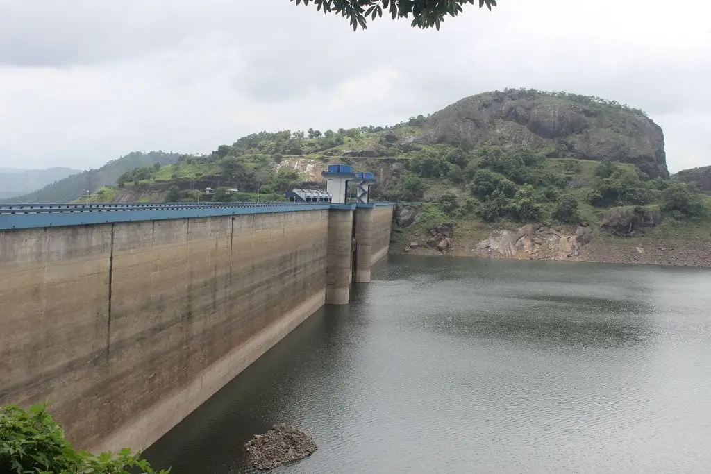
Cheruthoni Dam is the great concrete gravity wall that seals the Cheruthoni gorge and, with the soaring Idukki arch dam on the Periyar and the low Kulamavu saddle dam, locks up the vast Idukki lake — the beating heart of one of India’s largest hydroelectric schemes. It is the spillway dam of the trio: the one with the giant steel shutters that, on the rare days they lift, send the Cheruthoni river roaring white through the town below. Not a shrine but a monument to 1970s engineering ambition, it rewards the traveller who comes for scale, high-mountain lake views and a genuinely dramatic story rather than for legend.
Stand in Cheruthoni town and look up: a pale, stepped cliff of concrete rises across the river mouth, blunt and enormous, so plainly man-made that it takes a moment to read it as a dam at all. This is the gravity dam — it holds back water by sheer dead weight of concrete — and it is only one third of the story. Around the shoulder of the hills, hidden from the town, the celebrated Idukki arch dam curves like a taut bowstring between two rock walls known as the Kuravan and Kurathi hills, while several kilometres away the long, low Kulamavu embankment plugs a third leak in the ridgeline. Together the three dams do a single job: they turn a chain of Western Ghats valleys into one immense mountain lake, the Idukki.
The genius of the site is geography. Rain-heavy ridges funnel the Periyar’s headwaters into a natural basin ringed by hills; block the three low points and you hold water high in the mountains, then drop that water through a tunnel to a power station far below to spin turbines. Cheruthoni’s special role is safety valve. When the lake climbs toward its limit, it is Cheruthoni’s spillway gates — not the arch dam — that are raised to let the excess thunder away down the Cheruthoni river. For most of the year those gates stay shut and the town lives quietly beneath a placid wall of water.
That quiet is the whole point of the drama. Because it is so large and so carefully managed, the shutters open only once in a very long while — a handful of times in the project’s entire history. On the days it happens, word travels fast and crowds gather along the banks and bridges to watch controlled cataracts blast out of the spillway in clouds of spray and noise. It is one of Kerala’s rare engineered spectacles, closer to a Himalayan glacier-burst in feel than to anything you associate with palm-fringed backwaters, and it is entirely weather-dependent — you cannot schedule a visit around it (confirm any shutter operation and access with Idukki DTPC or KSEB locally).
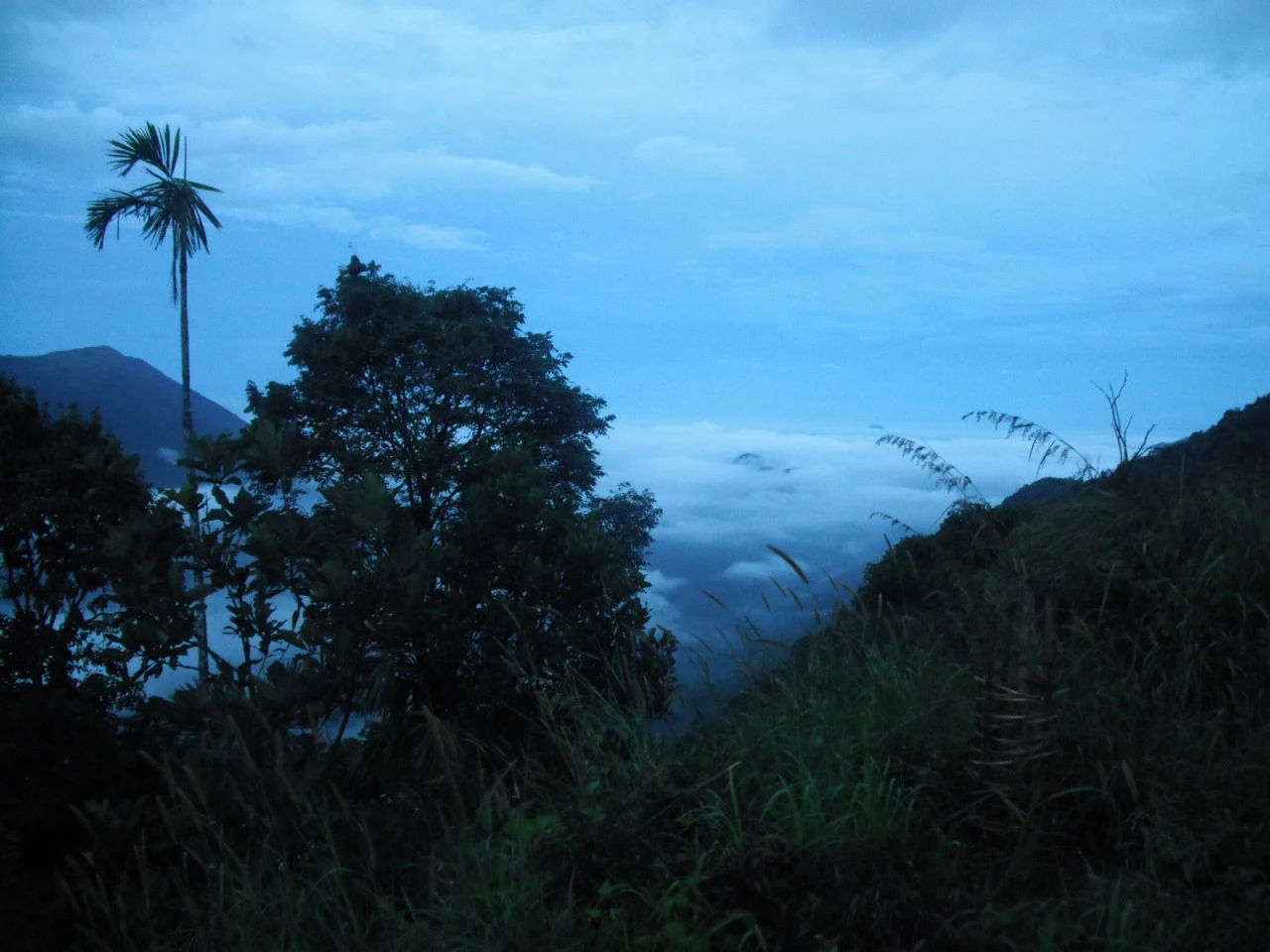
Ringing the water is some of the highest, greenest country in Kerala. Cardamom and tea slopes climb the surrounding hills; mist sits in the valleys at dawn; the lake itself falls partly inside protected ground, so elephants, gaur and other wildlife move along its far shores where no road goes. From viewpoints on the approach roads the lake reveals itself in flashes between the trees — a sheet of steel-blue water folded improbably into ridge after ridge of jungle. It is a landscape that makes the engineering feel even bolder: humans threading concrete and steel into a corner of the Ghats that otherwise belongs to the forest.
It is worth being honest about what a visit is and is not. These are working, strategically important power installations, and public access is controlled — the arch dam in particular is usually viewable only on limited open days and photography near the structures can be restricted. Much of what casual visitors actually see is the dam and its water from the town, roadside viewpoints and sanctioned lookout points rather than a walk across the crest. Come for the setting, the sense of scale and the story, keep your expectations of close-up access modest, and check the current rules before you plan (confirm access and open days with Idukki DTPC or KSEB locally).
For all its industrial purpose, Cheruthoni has become the anchor of a whole hill-town identity. The dam gave rise to the town, the town serves the district headquarters at Painavu on the hill above, and the reservoir defines the region’s weather, its livelihoods and its most famous view. To understand Idukki district at all is to understand this: a place literally shaped, named and half-created by a dam.
The Idukki project belongs to independent India’s great dam-building decades. Surveys of the Periyar’s hydro potential in this gorge go back to the first half of the twentieth century, but serious construction gathered pace through the late 1960s and into the 1970s, when harnessing Western Ghats rivers for power was seen as central to Kerala’s and India’s development. Cheruthoni was raised alongside its two sibling dams as a single coordinated scheme rather than as a standalone structure.
The project is closely tied to Canadian collaboration. The Government of Canada supported the Idukki scheme through long-term loans and grants, and Canadian engineering expertise fed into the design and supervision, with a Canadian consulting firm associated with the works and Indian contractors — notably Hindustan Construction Company — executing the build. It stands as one of the better-known examples of Indo-Canadian development cooperation of that era.
By the mid-1970s the dams were complete and the scheme was commissioned — commonly dated to around 1975–1976 — feeding water through a tunnel system to an underground power house at Moolamattom, set deep inside a hill so that the reservoir’s stored head could be converted into electricity on a large scale. The installed capacity of the Idukki generating station runs into several hundred megawatts, historically a major share of Kerala’s own hydro generation.
The Cheruthoni spillway’s own history can almost be told in a handful of dates, because its gates are lifted so seldom — three times since the scheme was commissioned in 1976, and the dates are firmly on the record rather than approximate. The first was in 1981, when the shutters were repeatedly opened and shut between 29 October and 13 November. The second was in 1992, when they were held open for twelve days from 12 to 23 October. Both of those came in the northeast monsoon, when a reservoir already filled by the southwest monsoon was topped up by an early downpour. The third was the flood of 2018, from 9 August to 7 September. Each opening is a landmark in local memory precisely because it is so rare.
The 2018 Kerala floods gave Cheruthoni its most dramatic modern chapter, and the sequence is documented closely enough to follow hour by hour. The gates were opened on 9 August 2018 after a gap of twenty-six years — the first release ever made during the southwest monsoon rather than the northeast. The level kept climbing anyway, and within about twenty-six hours, by 10 August, all five radial gates had been raised together for the first time in the project’s history, with the reservoir past the 2,400-foot mark and about 750 cumecs going downstream. On 15 August the gates were lifted further, to roughly 1,000 cumecs, as Mullaperiyar released as well. The controlled discharge surged down the Cheruthoni river, inundating parts of Cheruthoni town and adding to flooding far toward the Kochi lowlands, and it became one of the defining images of that catastrophic season. The gates were finally shut on 7 September. It remains a sober reminder that the reservoir’s calm surface sits above enormous stored energy.
Sheer engineering scale. Few places in Kerala let you stand beneath a concrete wall this size and grasp, at a glance, the ambition of a mountain hydro scheme — the blunt gravity dam in front of you is only one piece of a three-dam system holding back an entire valley of water.
The trio of dams and the reservoir. The chance to make sense of how Cheruthoni, the famous Idukki arch dam and the Kulamavu saddle dam work together to create one of India’s great man-made lakes is a genuinely satisfying puzzle to solve on the ground, ridge by ridge (access to each varies — confirm locally).
High Western Ghats scenery. Cardamom and tea hills, mist-filled valleys, forest-fringed water and cool mountain air make the setting spectacular in its own right, quite apart from the concrete — this is some of the highest, greenest terrain in the state.
A rare and dramatic spectacle. On the very occasional days the spillway gates are opened, the release of water is one of Kerala’s few truly engineered natural spectacles — thunderous, spray-wreathed and unforgettable — though it is weather-dependent and cannot be planned for (confirm any shutter operation with KSEB or DTPC locally).
A powerful, honest story. The 1970s Indo-Canadian construction saga and the searing memory of the 2018 flood shutter-opening give the site a narrative weight that most viewpoints lack — you leave understanding something real about Kerala, its power supply and its vulnerability to the monsoon.
The gateway to Idukki’s hills. Cheruthoni and the neighbouring district town of Painavu make a natural base for exploring the wider Idukki highlands — spice plantations, viewpoints, wildlife country and hill roads all fan out from here.
Road km to Idukki; ghat roads and traffic vary — allow extra.
Post-monsoon and winter for scenery; monsoon access may change.
Live forecast loads in your browser.
Check the official alert before you travel. Kerala’s beaches, waterfalls and trekking routes close at short notice during heavy rain, and district alert levels change day to day. We do not publish an alert level of our own — read it from the state authority: Kerala State Disaster Management Authority, or the district control room on 1077.
Sun and moon are calculated for this location and shown in IST. Photography windows are the hour around sunrise and sunset; the sunset bearing is degrees clockwise from true north. Moon phase is accurate to about half a day.
These are official or public-sector eco offerings that match this place, town or forest destination. Confirm availability, permits, tariffs and reporting times with the official operator before travel.

Forest and reservoir wildlife sanctuary around the Idukki-Cheruthoni dam landscape.
Official source →
Idukki reservoir viewpoint and pilgrimage hill, connected with Kerala Forest Ecotourism listings.
Official source →Verified hotels, homestays, restaurants, experiences, sights, shops and rentals around Cheruthoni Dam — commission-free, with direct contact. Filter by what you need.
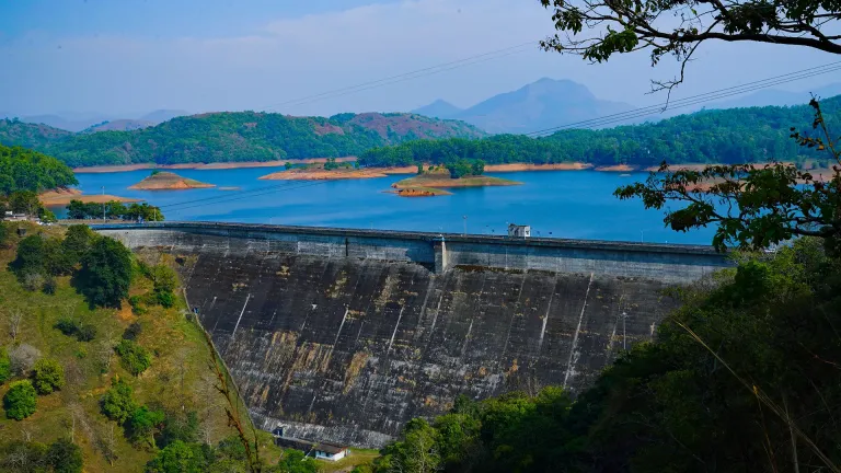
Dam and reservoir viewpoint in Idukki and Cheruthoni. Kulamavu, Idukki district, Kerala · Kulamavu, Dam, Idukki Reservoir.
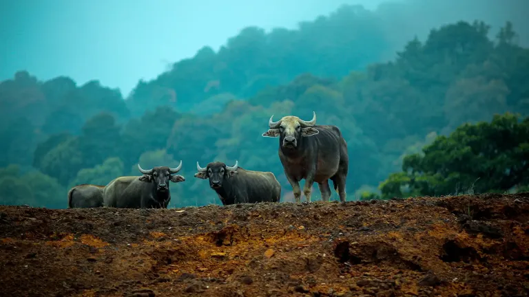
Wildlife sanctuary in Idukki and Cheruthoni. Idukki Wildlife Sanctuary, Idukki district, Kerala · Idukki, Wildlife sanctuary, Cheruthoni.
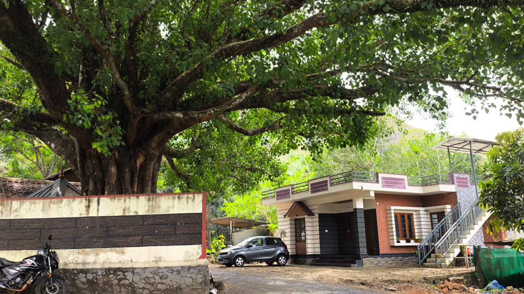
Panchami Homestay Cheruthoni is a Kerala Tourism-listed Silver House homestay at Idukki Colony P.O., Alinchuvadu, useful for travellers comparing simple Cheruthoni/Painavu stays with homely Kerala food, Wi-fi, car hire, parking and Idukki reservoir route access. Homestay tariff · Cheruthoni, Idukki Colony, Homestay.
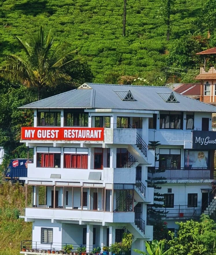
Kuttikkanam restaurant in Idukki and Cheruthoni. My Guest Restaurant, NH-183, Theni By-Pass, Pambanar, Peerumade, Idukki, Kerala 685531 · Restaurant menu pricing · Kuttikkanam, Pambanar, Restaurant.
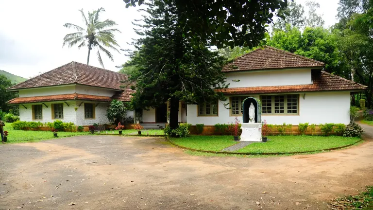
Kerala Tourism destination record for Peermade Ayurveda, Panchakarma, herbal medicine, yoga and wellness stays.
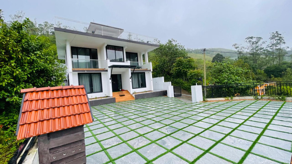
Kerala Tourism-certified serviced villa at Parunthumpara with infinity pool, food and activity evidence.
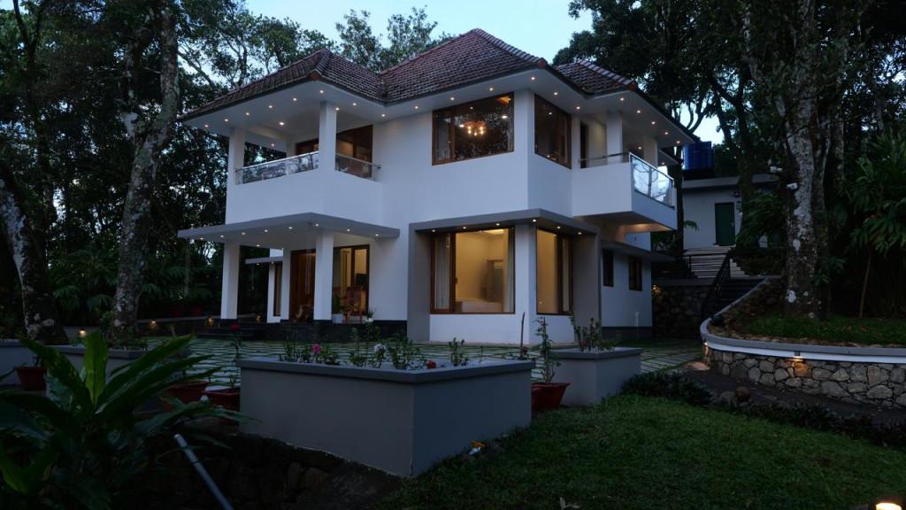
Elam Villa Parunthumpara Peermade is a Kerala Tourism-listed serviced villa record for travellers comparing Parunthumpara, Pambanar and Peerumedu stays with direct phone, email and website evidence. Parunthumpara, Peermade, Serviced villa.
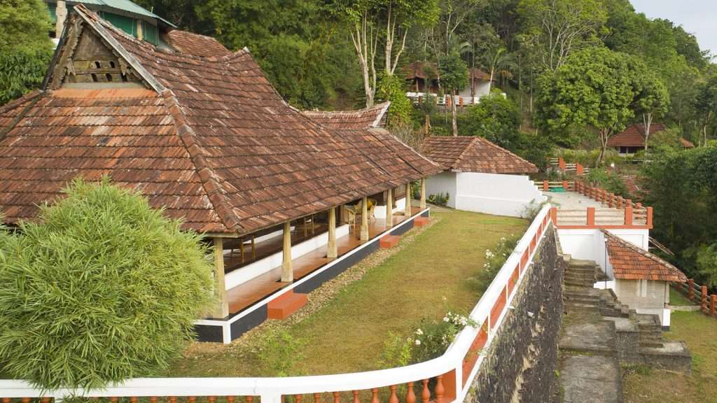
Kerala Tourism-listed plantation retreat at Murinjapuzha with restaurant, pool and estate-walk evidence.
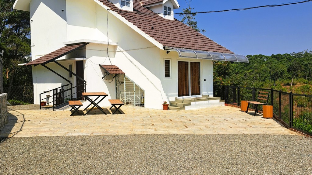
Kerala Tourism-listed Ladrum Estate homestay with stream, food, Wi-fi, car-hire and activity evidence.
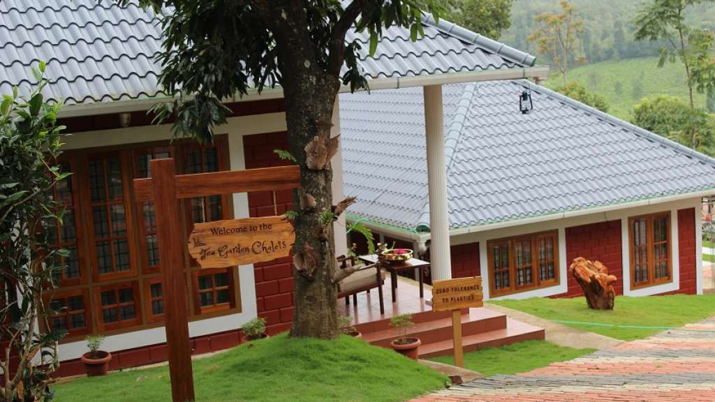
Kerala Tourism-listed serviced villa near Pambanar and Peermade, surrounded by tea and cardamom plantations.
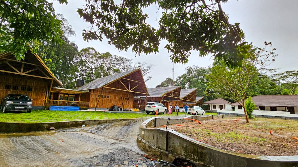
Government Yathri Nivas eco lodge at the Peerumedu Government Guest House compound. A simple budget Kerala Tourism-run lodge base for Peermade and Kuttikkanam.
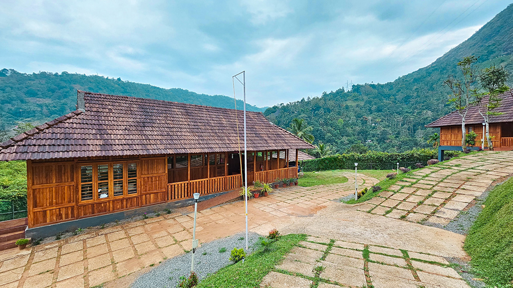
Government Yathri Nivas eco lodge behind DTPC Idukki Park near IDA Ground, Painavu. A budget Kerala Tourism-run lodge base for Cheruthoni, the Idukki Arch Dam and Kalvari Mount.
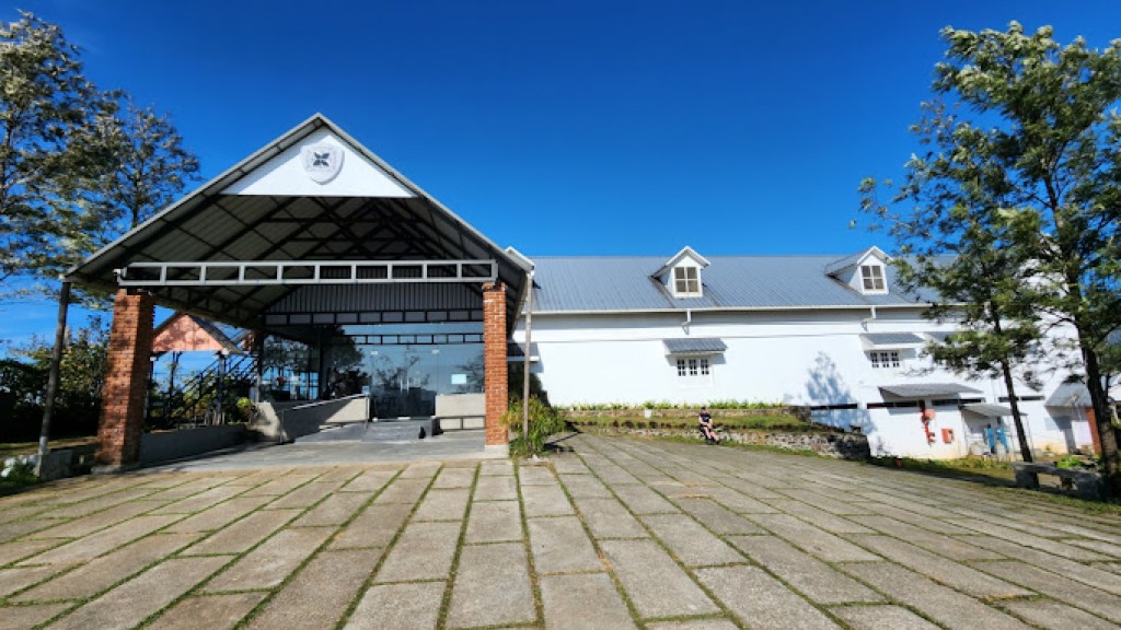
Kuttikkanam restaurant in Idukki and Cheruthoni. Agincourt, Kuttikkanam, Peerumedu, Idukki, Kerala 685531 · Kuttikkanam, Restaurant, Peerumedu.
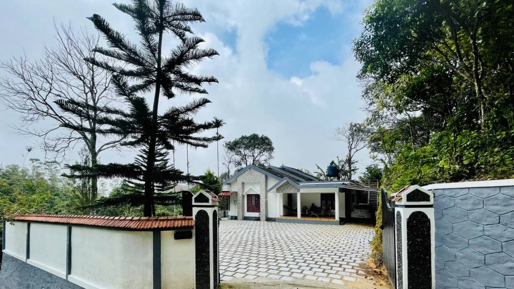
Jacobs Heaven is a Kerala Tourism-listed serviced villa at Kuttikkanam. The villa has an Ayurveda centre, homely Kerala food, Wi-Fi and online reservation for a quiet high-range stay.
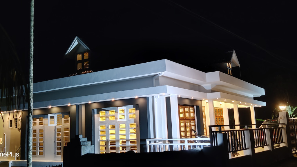
Kerala Tourism-listed Kuttikkanam homestay with address, phone, email, food and Wi-fi evidence. MBC College Road, Pallikkunnu P.O., Peerumade, Kuttikanam, Idukki, Kerala 685531 · Budget to mid-range homestay · Kuttikkanam, Peerumade, Homestay.
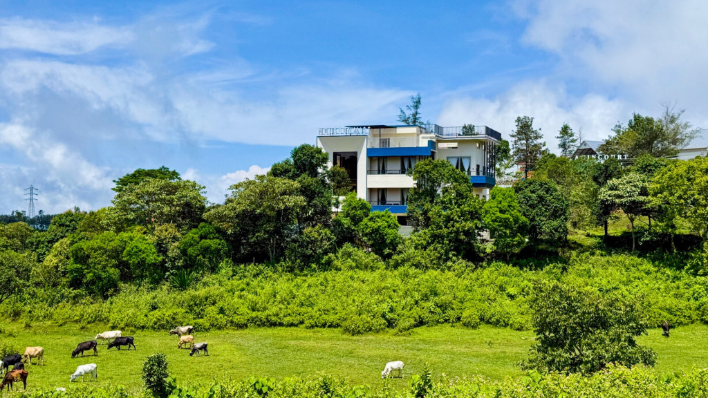
Monsoon Mist Kuttikkanam is a Kerala Tourism-listed homestay on Dreamland Road, useful for travellers comparing private-suite stays with kitchen access, Western Ghats views, rooftop pool context and Peermade high-range routes. Premium homestay suites · Kuttikkanam, Peermade, Homestay.

Misty Mountain Plantation Resort sits at Kuttikanam, Peermade. The Kerala Tourism-listed plantation resort offers a restaurant, tea-estate experiences and estate walks across the high-range plantations.
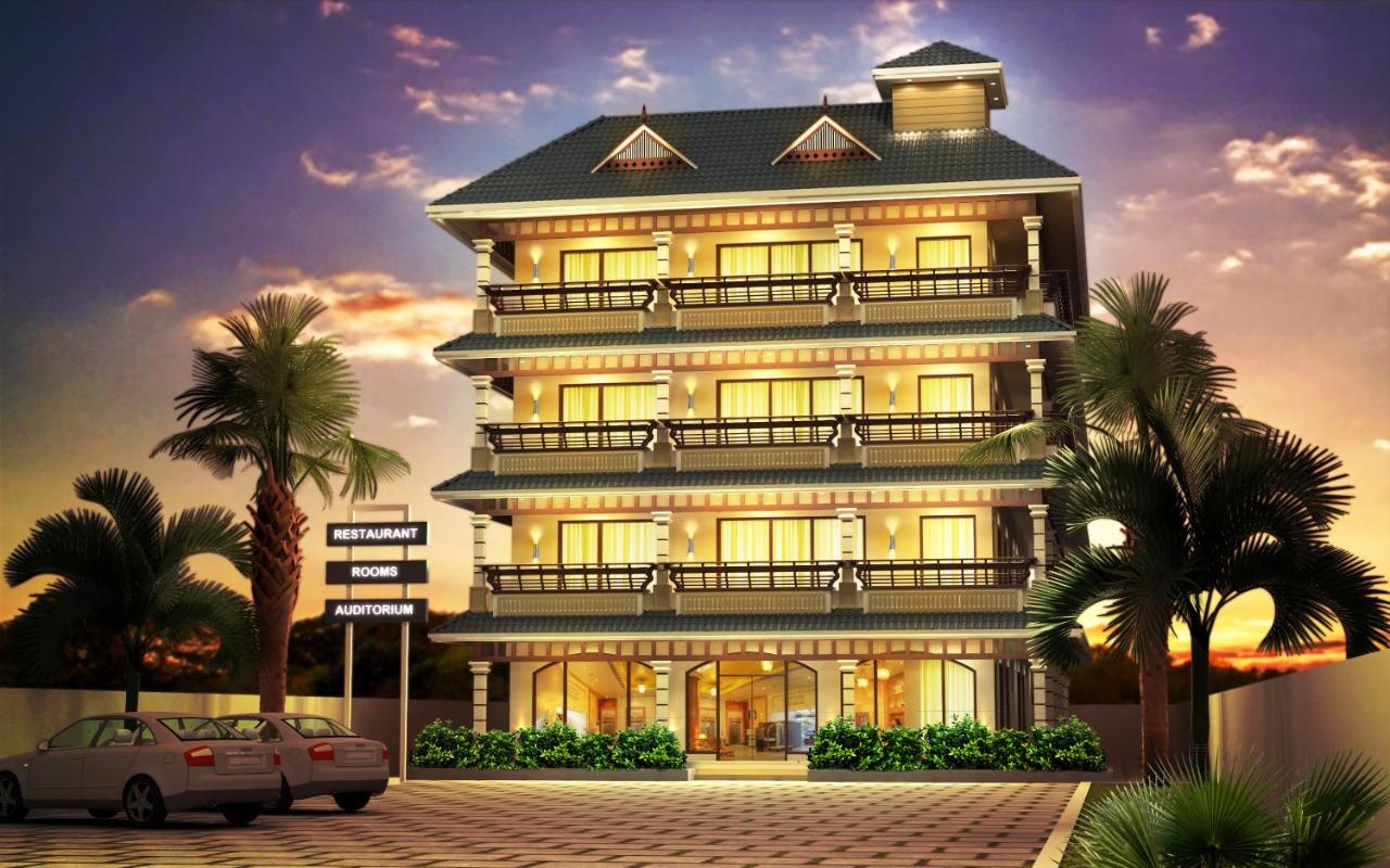
Hotel restaurant in Idukki and Cheruthoni. Igloo Heritage Resorts, Cheruthoni, Idukki district, Kerala · idukki-and-cheruthoni, eat, Hotel restaurant.
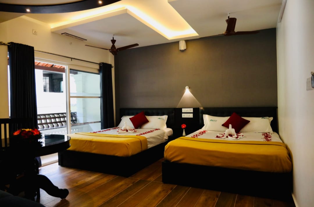
Cheruthoni resort and hotel in Idukki and Cheruthoni. Idukki-Adimali Road, Cheruthoni, Kerala 685602 · Cheruthoni, Idukki, Resort.
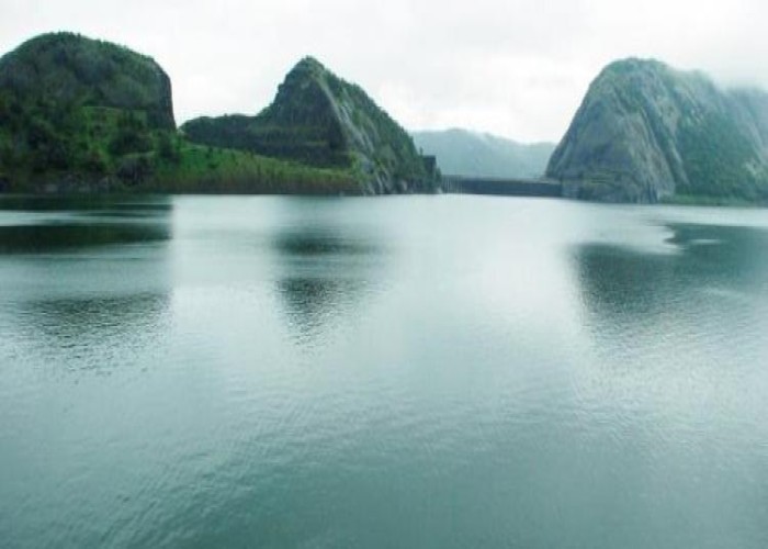
Kerala Hydel Tourism source for the Idukki Arch Dam attraction. Idukki Arch Dam, Hydel Tourism, Cheruthoni.

DTPC Idukki source for Cheruthoni Dam near the Idukki Arch Dam reservoir system. Cheruthoni, Dam, Idukki.
Book with the place itself. India’s cyber-crime coordination centre warned in April 2025 that convincing copies of hotel and pilgrimage booking sites are being pushed through sponsored search and social ads, taking payment for rooms the property never hears about. Every listing here links to the business’s own contact details and its own Google or Bing profile — we take no commission and sit in nobody’s payment path. If a booking page reached you through an ad, check the address bar against the property’s own site before you pay. Fraud can be reported on cybercrime.gov.in or on 1930.
Find food, accommodation and activities across Idukki and Cheruthoni. Browse the guides for places to eat, stay and explore along your route.
Walking routes start at Cheruthoni Dam. Check the route and access before setting out, especially where a road, gate or waterway separates the stops.
20 more places around Idukki and Cheruthoni. Open a guide to plan the visit and onward journey.
A Peerumedu ridge walk through plantation and high-range scenery, with access dependent on the chosen trail, land permission and current weather.
16.1 km · ~27 min by cab
The long pedestrian suspension bridge above the Idukki reservoir at Ayyappancoil, valued for water and hill views as well as the crossing itself.
A secluded waterfall below Kuttikkanam whose approach has depended on estate tracks and regulated jeep routes; current legal access must be established first.
5.5 km · 11 min drive
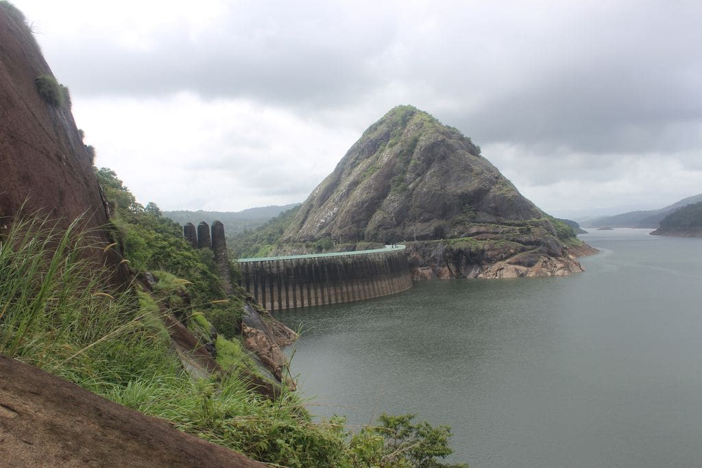
Major hydroelectric dam and one of Kerala’s landmark engineering sites.
1.8 km · 22 min walk
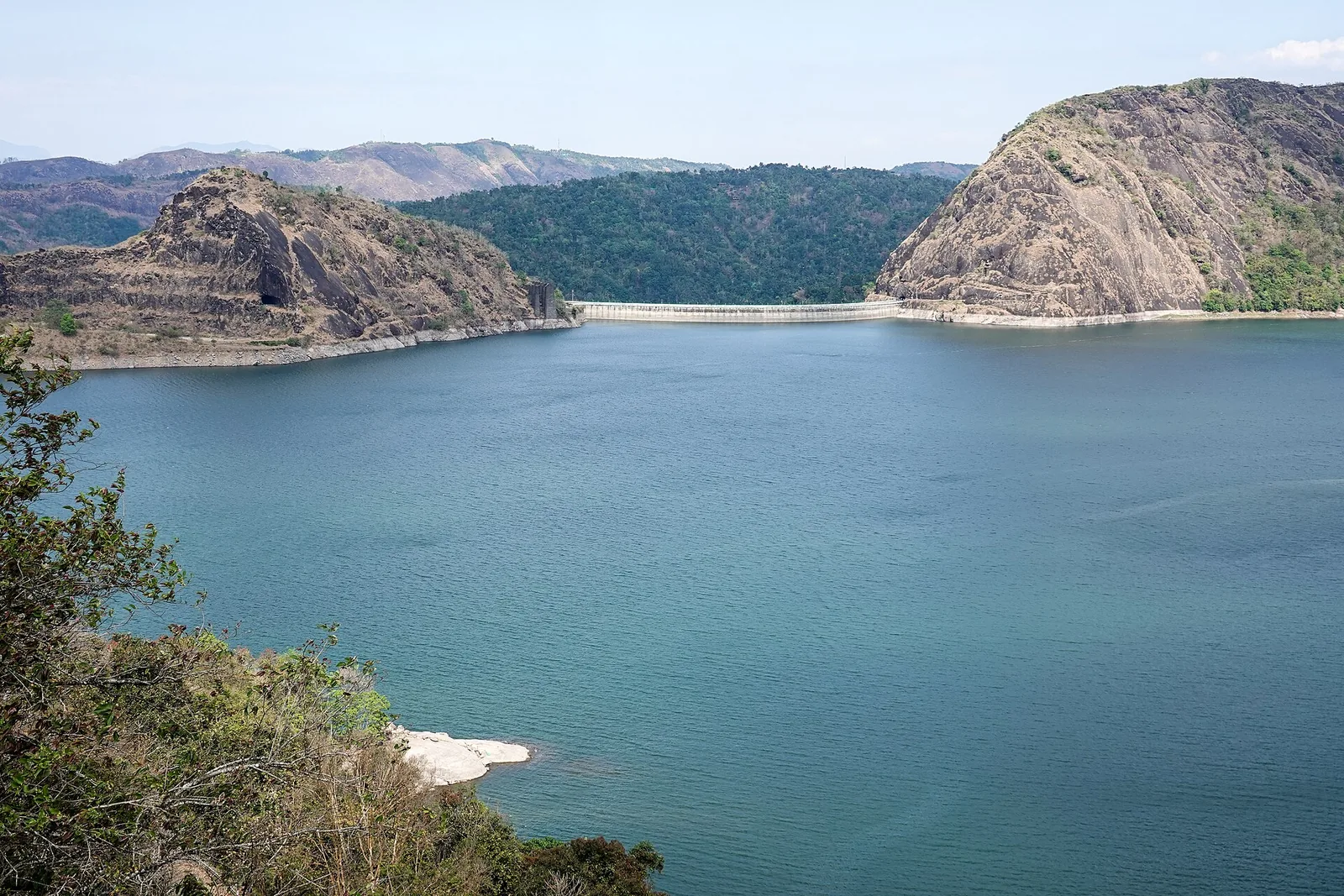
The DTPC’s eight-acre garden and viewing park on the Vellappara shoulder above the Idukki reservoir, about 350 ft above the water. It is the dependable way to see the Idukki arch dam — strung between Kuravanmala and Kurathimala, roughly 1.6 km east-north-east — because the dam crest itself is shut most of the year and this is open every day from 08:00 to 19:00.
17.5 km · 23 min drive
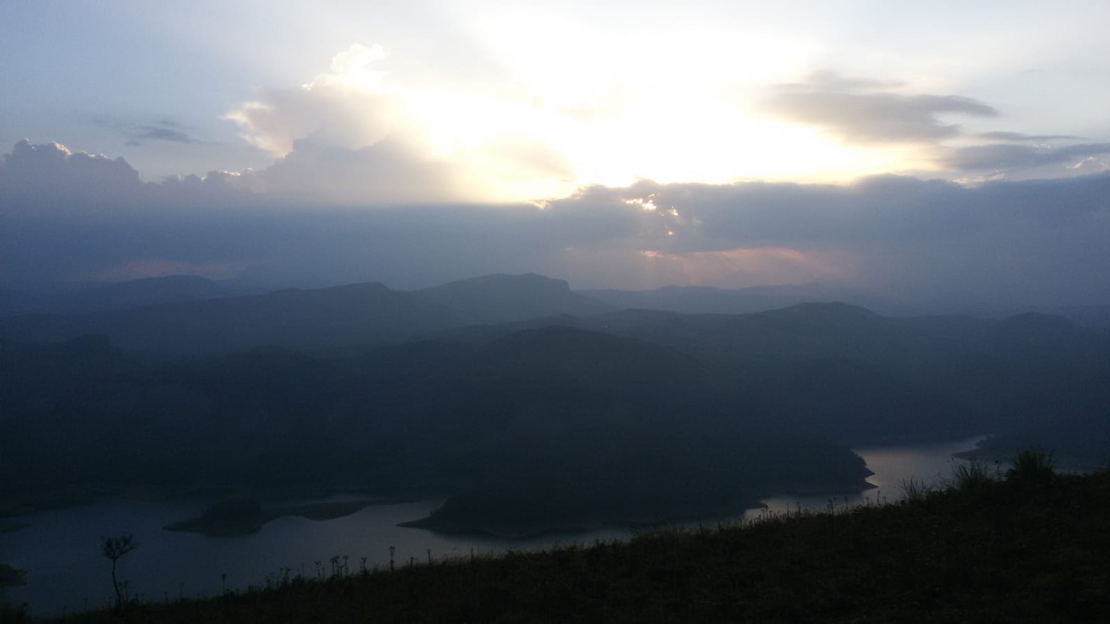
Reservoir-view hill point near Idukki and Cheruthoni, useful for scenic drives, photos and central high-range itineraries.
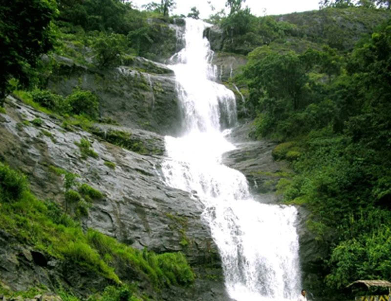
Waterfall on the Kochi-Munnar road, commonly paired with Valara as a high-range arrival stop.
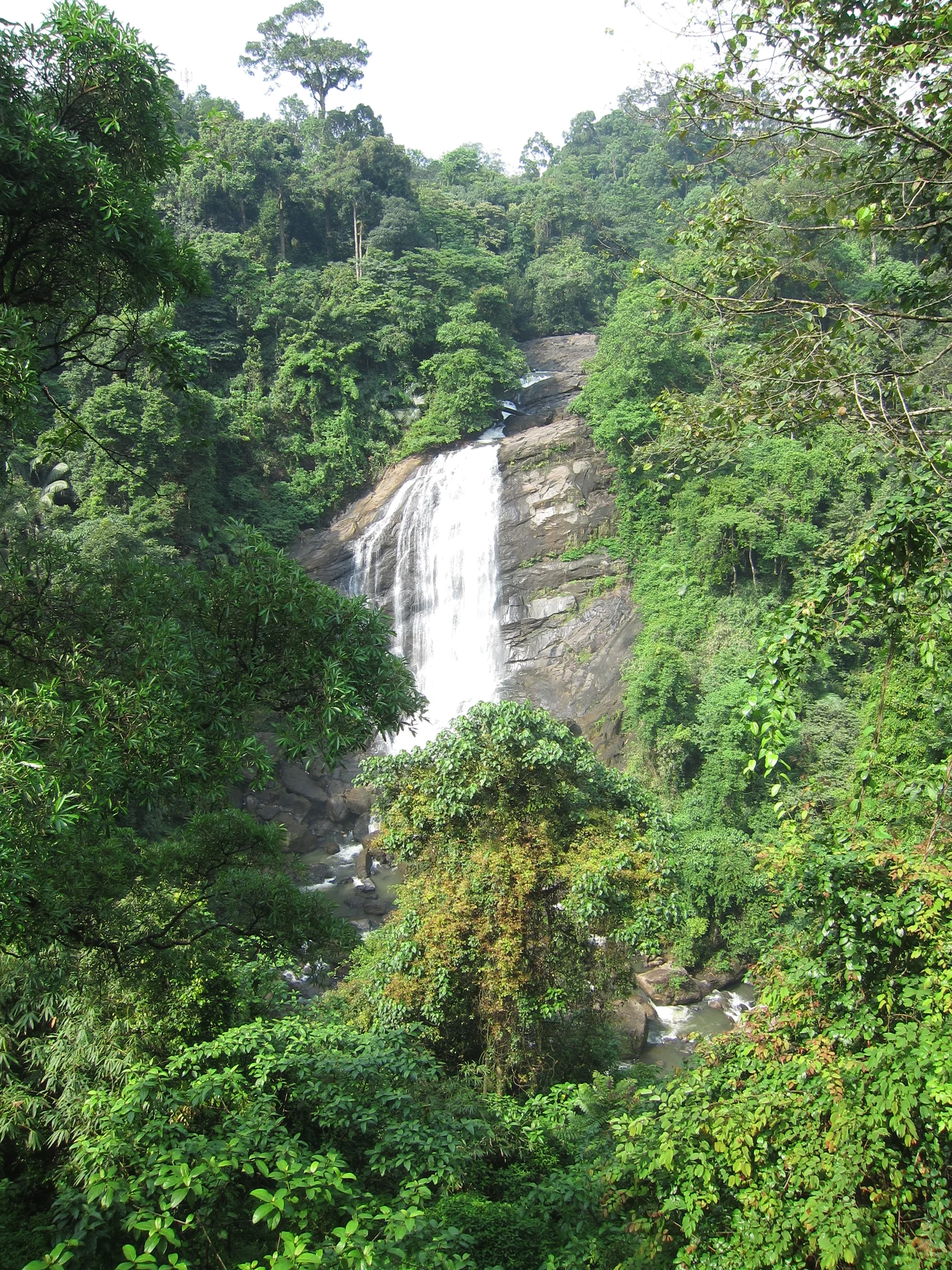
Valara is the forest-framed Deviyar cascade beside NH85 between Neriamangalam and Adimali in Idukki. It is a separate roadside stop from Cheeyappara, with viewing from the road and no assumed access to the waterfall base.

Peermade, also written Peerumedu or Peermede, is a plantation settlement and highland landscape on the Kottayam–Kumily road in Idukki. The map uses the town centre as a visitor base, not a single hilltop attraction.

Meadow and hill-viewpoint landscape near the Peermade/Kuttikkanam side of Idukki.

Peermade-side hill-station and adventure-tourism area, useful for tea estates, pine roads and central high-range routing.
21.8 km · 24 min drive
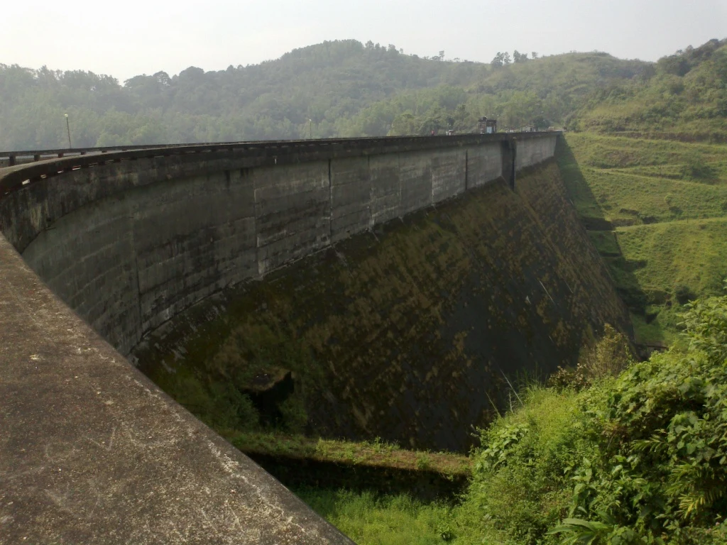
Kulamavu is KSEB’s gravity dam on Kilivallithodu and one of three dams forming the Idukki reservoir. Visit through the hydel-tourism arrangements; reservoir views do not authorise entry to restricted infrastructure.
43.0 km · 50 min drive
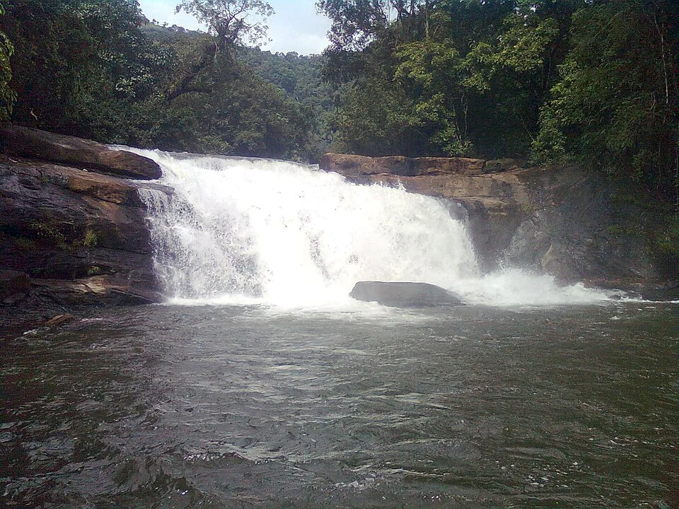
Seven-step cascade and eco-tourism trekking spot on the Kaliyar river near Thodupuzha, with rock pools, forest paths and a Forest Department eco-tourism trail.
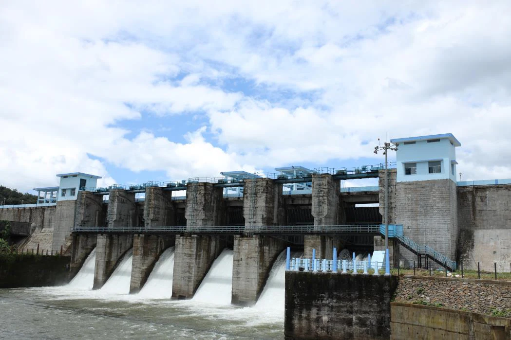
An Irrigation Department dam and reservoir at Muttom near Thodupuzha, storing Thodupuzha River runoff and Idukki power-station tailwater for the Muvattupuzha Valley Irrigation Project; the visitor park has its own permitted areas.
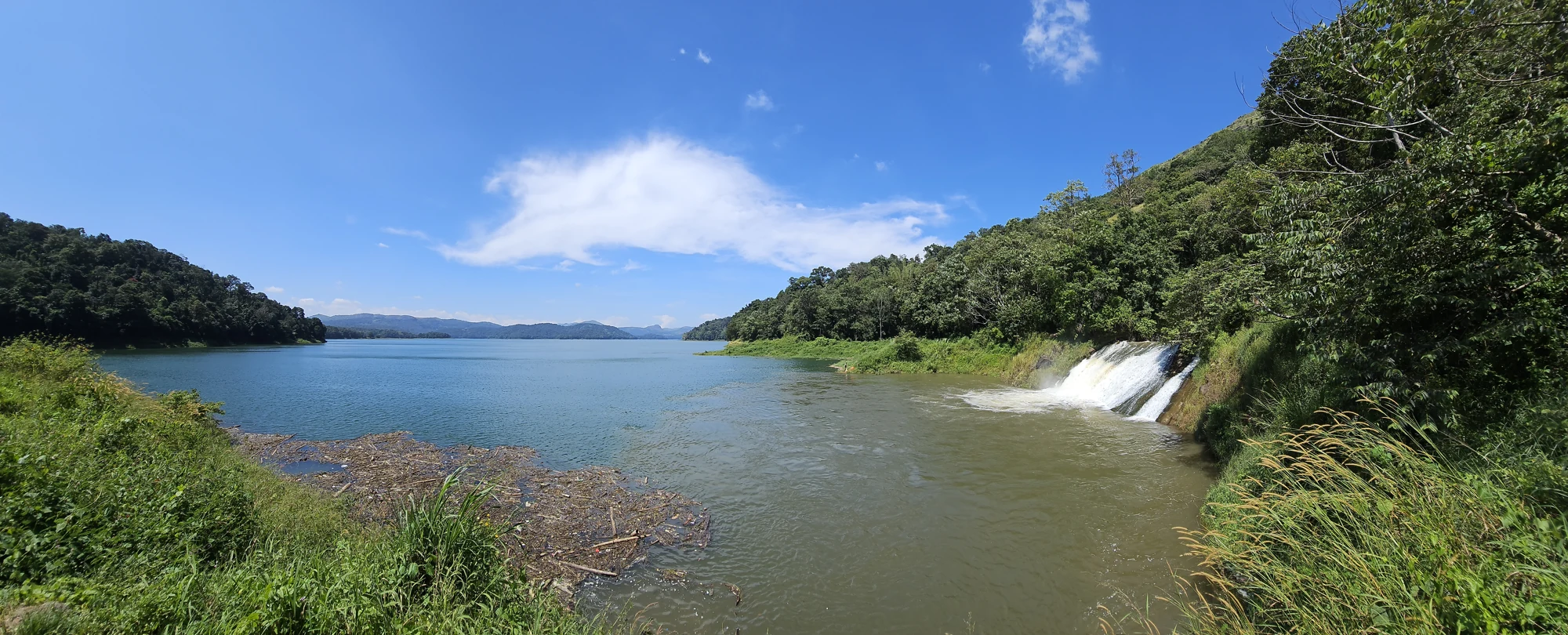
32.4 km · 41 min drive
The Anchuruli reservoir-side landscape near Kattappana, where the Erattayar diversion tunnel discharges towards Idukki reservoir. Plan an exterior viewpoint visit; the water tunnel is working infrastructure.

59.8 km · 84 min drive
Protected forest around the Idukki and Cheruthoni reservoirs near Painavu, with hilly evergreen woodland, elephants and boat-and-trek access arranged through the Forest Department.
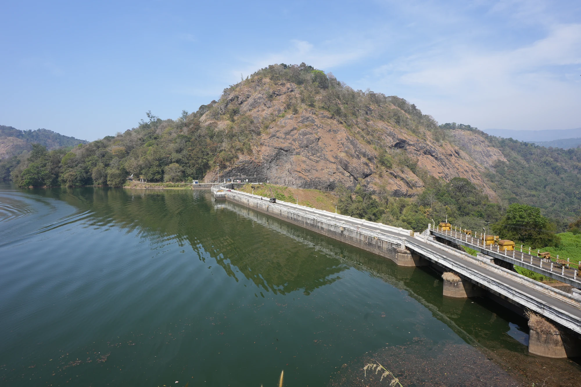
31.8 km · 40 min drive
KSEB’s Panniyar-project dam at Konnathadi near Rajakkadu and Vellathooval in Idukki; a reservoir-and-engineering visit, distinct from Ponmudi hill station in Thiruvananthapuram.
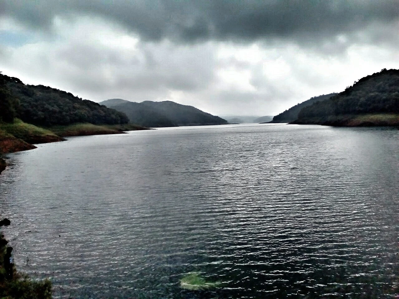
4.2 km · 8 min drive
The hill headquarters town of Idukki district near the arch dam, a quiet high-range base for Idukki–Cheruthoni dam-side sightseeing and the surrounding reservoir viewpoints.
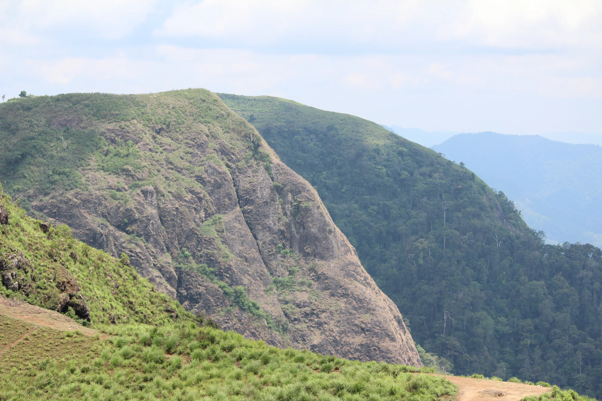
A rock-and-grass viewpoint near Peermade on the Pambanar side of Idukki, overlooking steep wooded ravines; known as Eagle Rock and for the profile-like Tagore Rock formation.
27.7 km · 30 min drive
Ghat viewpoint on the Thodupuzha–Puliyanmala road overlooking the Idukki high range, a popular stop for valley views and cool breezes.
Roampedia is commission-free — own or know a stay, eatery, guide or shop near Cheruthoni Dam? List it and it appears here once verified.
Add a nearby businessEntry: Viewing the Cheruthoni dam and reservoir from the town and public roadside points is generally free. Any organised access, boating where offered, or sanctioned dam-viewing may carry separate charges and permissions. Fees, where they apply, are modest but change — confirm the current position locally.
Dress code: No religious dress code — this is an engineering site. Wear comfortable clothing and sturdy footwear for hilly, sometimes wet ground, and carry a light layer as the highlands can be cool and breezy, plus rain protection in the monsoon.
Photography: Photography near the dam and power infrastructure may be restricted or prohibited on security grounds, and rules can change; wider landscape shots from public viewpoints are usually acceptable. Follow all posted signs and staff instructions (confirm current photography rules locally).
If you are travelling by bus or ferry, check the return service with the operator before setting out. Leave time to reach the stop or jetty after your visit.
Ask at the bus stand for the time of the last service back, not the next one. If you miss it, an auto or app cab is the fallback — agree the fare before you get in.
If you need step-free access, contact the site before travelling. Ask about a level entrance, steps along the route, the nearest drop-off point, seating and accessible toilets.
These services are listed within about 1.2 km of Cheruthoni Dam. Walking distances follow mapped routes; access and opening hours can change. Other services may be closer but are not included here.
Emergency numbers are verified against official government and state tourism sources. 112 works anywhere in India.
The DTPC’s eight-acre garden and viewing park on the Vellappara shoulder above the Idukki reservoir, about 350 ft above the water. It is the dependable way to see the Idukki arch dam — strung between Kuravanmala and Kurathimala, roughly 1.6 km east-north-east — because the dam crest itself is shut most of the year and this is open every day from 08:00 to 19:00.
1.8 km · 22 min walkThe hill headquarters town of Idukki district near the arch dam, a quiet high-range base for Idukki–Cheruthoni dam-side sightseeing and the surrounding reservoir viewpoints.
4.2 km · 8 min driveMajor hydroelectric dam and one of Kerala’s landmark engineering sites.
5.5 km · 11 min drive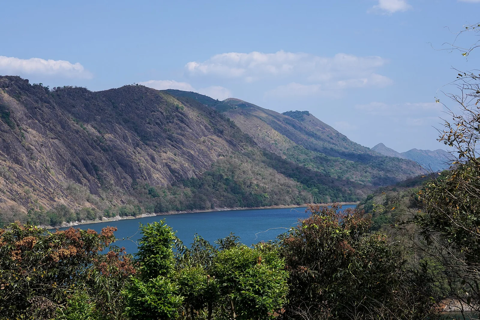
The Forest Department’s guided walk on the grass tops at the southern end of the Idukki Wildlife Sanctuary, about ten kilometres by road from Vagamon — some seven kilometres on foot up jeep track and open ridge, with the Idukki reservoir catchment below you. The state will not sell it to fewer than six people, and it will not take more than seven.
14.2 km · ~24 min by cab · straight lineThe long pedestrian suspension bridge above the Idukki reservoir at Ayyappancoil, valued for water and hill views as well as the crossing itself.
16.1 km · ~27 min by cab · straight lineReservoir-view hill point near Idukki and Cheruthoni, useful for scenic drives, photos and central high-range itineraries.
17.5 km · 23 min driveKulamavu is KSEB’s gravity dam on Kilivallithodu and one of three dams forming the Idukki reservoir. Visit through the hydel-tourism arrangements; reservoir views do not authorise entry to restricted infrastructure.
21.8 km · 24 min driveGhat viewpoint on the Thodupuzha–Puliyanmala road overlooking the Idukki high range, a popular stop for valley views and cool breezes.
27.7 km · 30 min driveKSEB’s Panniyar-project dam at Konnathadi near Rajakkadu and Vellathooval in Idukki; a reservoir-and-engineering visit, distinct from Ponmudi hill station in Thiruvananthapuram.
31.8 km · 40 min driveThe Anchuruli reservoir-side landscape near Kattappana, where the Erattayar diversion tunnel discharges towards Idukki reservoir. Plan an exterior viewpoint visit; the water tunnel is working infrastructure.
32.4 km · 41 min driveSeven-step cascade and eco-tourism trekking spot on the Kaliyar river near Thodupuzha, with rock pools, forest paths and a Forest Department eco-tourism trail.
43.0 km · 50 min driveProtected forest around the Idukki and Cheruthoni reservoirs near Painavu, with hilly evergreen woodland, elephants and boat-and-trek access arranged through the Forest Department.
59.8 km · 84 min driveWalking and driving times are real routed distances, except the few marked “straight line”, which are direct-line estimates and will read short. Fare figures are estimates from Kerala’s notified auto/taxi tariff and exclude waiting and night charges. Routing: © openrouteservice.org by HeiGIT | Map data © OpenStreetMap contributors
Nearby toilets, pharmacies, ATMs, seating and vets are community-mapped and may be incomplete or out of date. Map data © OpenStreetMap contributors | Walking times © openrouteservice.org by HeiGIT
Generally no, not freely. These are working, strategically important power installations and access is controlled. The Idukki arch dam in particular is usually opened to visitors only on a limited number of days, and even then under managed conditions. Most visitors view the Cheruthoni dam and reservoir from the town, roadside viewpoints and sanctioned lookout points rather than crossing the crest. Always check the current position before travelling (confirm access and open days with Idukki DTPC or KSEB locally).
Almost certainly not, and you should not plan around it. Cheruthoni’s spillway gates have been opened only a handful of times in the project’s entire history — decades apart — and only when the reservoir approaches capacity in an exceptional monsoon, as in 2018. It is a rare, weather-dependent emergency operation, not a scheduled show (confirm locally).
Treat it as restricted near the structures. Because these are power and water installations with tight security, photography close to the dam and power infrastructure may be limited or prohibited, and rules can change. Wider landscape and reservoir shots from public viewpoints are usually fine, but follow posted signs and any instructions from staff and security (confirm current photography rules locally).
They are two dams of the same scheme. Cheruthoni is the concrete gravity dam — the blunt, heavy wall with the spillway gates — that seals the Cheruthoni gorge. Idukki Dam is the famous curved arch dam across the Periyar, one of the tallest arch dams in Asia, wedged between two hills. A third dam at Kulamavu closes another gap. Together they impound the single Idukki reservoir.
The cooler, clearer months from roughly October to February are the most comfortable and reliable for reservoir views and hill scenery. The monsoon (about June to September) brings mist, heavy rain and the fullest reservoir but also poor visibility, leeches and travel disruption. Note that a full reservoir does not mean the shutters will open — that remains rare.
Yes, if you come for the setting and the story rather than close-up access. The scale of the gravity dam seen from Cheruthoni, the reservoir glimpsed from the approach roads, and the surrounding high-Ghats scenery of tea, cardamom and forest make a rewarding half-day, especially combined with other viewpoints and the nearby district town. Set expectations of dam access modestly and you will not be disappointed.
Post-monsoon and winter for scenery; monsoon access may change.
Entry: Viewing the Cheruthoni dam and reservoir from the town and public roadside points is generally free. Any organised access, boating where offered, or sanctioned dam-viewing may carry separate charges and permissions. Fees, where they apply, are modest but change — confirm the current position locally. Timings: The town, roads and public viewpoints around Cheruthoni are open through the day, but sanctioned Idukki dam-top visits use limited announced dates and sessions. Check the Idukki DTPC or KSEB visitor notice before travelling specifically for dam entry.
Base yourself in Idukki and Cheruthoni or a nearby town in Idukki, then confirm the last-mile route locally before leaving. Check public access status before travel; dam areas often have security rules and seasonal entry limits. If the visit depends on forest, temple, boat, ferry, weather or seasonal access, check the official/local rule on the day before travel.
1 to 2 hours.
Nearby you can pair Hill View Park (1.8 km), Painavu (4.2 km), Idukki Arch Dam (5.5 km), Vagavanam Windy Walk trek (14.2 km).
Do not cross barriers or restricted zones. Follow release-warning and security instructions.
We have not published a story about Cheruthoni Dam itself yet. These cover Idukki and Cheruthoni and the wider district, with separate journeys between stops.
These guides explore Idukki and Cheruthoni and the surrounding area. Choose a visit that fits your interests, allowing separately for travel between stops.


Route-level itineraries and practical guides for the rest of Kerala.
Photographs: KSEB (CC BY-SA 2.5), Hatesens (CC BY-SA 4.0), Department of Tourism, Government of Kerala (© Kerala Tourism), Alanjs (CC BY-SA 4.0). Wikimedia Commons.


