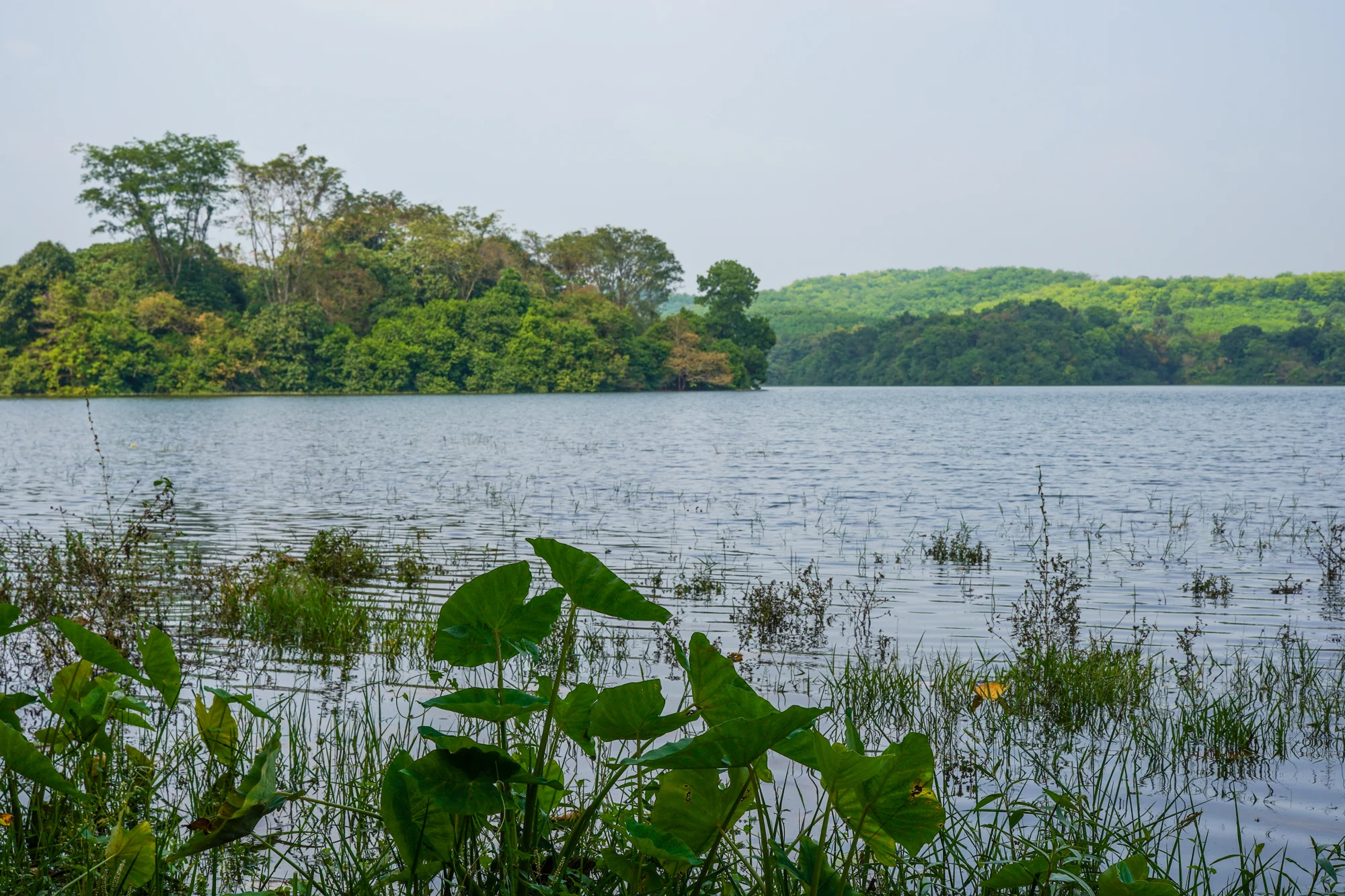
The gates make Malankara easy to recognise as a dam site, but the reservoir’s quieter details explain the surrounding country. A low wooded form sits beyond the near bank. Leaves frame the water. Farther across, trees partly conceal buildings and cultivated slopes. The view is both a water landscape and an inhabited one.
Look in layers
Begin with the nearest edge: a branch, a railing or the bank immediately below the admitted viewpoint. It gives scale to the open water. The next layer is the reservoir surface and any landform rising from it. Beyond that, the opposite shore gathers trees, buildings and changes in slope into a more complex background.
This way of looking avoids treating every green patch as an uninhabited island. Some are promontories connected to the far bank, while others may be separated by channels hidden from a particular angle. A single photograph cannot establish the route between them. Enjoy the shapes from the visitor area without turning them into an informal walking or boating plan.
The opposite bank is lived in
Identified photographs of Malankara show houses among trees and a church dome appearing beyond the water. These details interrupt the idea of a uniformly wild reservoir shore. They locate everyday life beside an irrigation landscape, with buildings and access routes that belong to the surrounding settlements rather than to the visitor park.
The dome is a useful visual landmark without needing an unverified church name attached to it. The same restraint helps with the rocky hill behind the wooded slopes. Describe the form that can actually be seen; a distant shape should not acquire a famous viewpoint’s name merely because that place is somewhere in Idukki.
Water changes the outline
A reservoir holds a level that can vary through operation and the seasons. More exposed bank alters the relationship between trees and water, while a fuller surface can bring the green edge closer to the viewer. The landscape is therefore not a fixed lakeside composition repeated every day.
Notice the boundary between established vegetation and the area below it. Where the lower strip is visible, its colour and texture differ from the wooded slope. That contrast makes the water’s reach easier to read. It does not make the uncovered ground an extension of the park path or an appropriate place to sit beside the reservoir.
For photography, the foliage near the admitted viewpoint can do useful work. It supplies a foreground and keeps the open water from becoming an empty band across the image. A wider frame can connect that foreground to the far buildings and slopes, while a tighter one can concentrate on the rounded wooded forms in the water.
After looking across the reservoir, return attention to the dam. The broad scene narrows into a controlled outlet, linking the landscape to the irrigation purpose explained by the department. The two views strengthen each other: the dam shows how water is managed, and the surrounding shore shows the country through which that management takes place.
Landscape and visitor context: Kerala Irrigation Department: Malankara. All views should be taken from the areas admitted for visitors.
Plan the visit: Malankara Dam.