What to expect
Highlights
- Viewpoint stop at Panchalimedu
- Photography and landscape views
- Good add-on to nearby town or hill routes
Meadow and hill-viewpoint landscape near the Peermade/Kuttikkanam side of Idukki.
Panchalimedu is a mist-wrapped grassland hill and viewpoint high in the Peermade highlands of Idukki, reached by a rough jeep climb above Kuttikkanam and named — so local legend says — for Panchali, or Draupadi, wife of the five Pandavas, who is believed to have sheltered here during their forest exile.
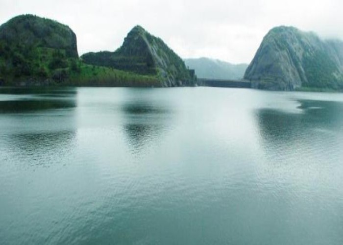
Panchalimedu sits in the folds of the Western Ghats above Kuttikkanam and Peermade, a rolling shoulder of open grassland and meadow that seems to float above the tea and rubber country of central Idukki. For most of the year it is a place of mist — cloud rolls up the valley walls in the afternoon and swallows the ridge, then peels back to reveal deep green gorges, the Koruthodu valley and its plantations, and rank after rank of blue hills fading towards the horizon. It is this combination of altitude, silence and shifting weather that gives the hill its particular hold on visitors.
The name itself is the beginning of the story. Panchali is another name for Draupadi, the shared wife of the five Pandava brothers of the Mahabharata, and medu is the Malayalam word for a hill or a raised piece of ground. Panchalimedu therefore means, quite simply, Panchali’s hill — and the whole landscape here is read through the lens of that ancient association, with a pond, a cave and a shrine each tied by tradition to the exiled brothers and their queen.
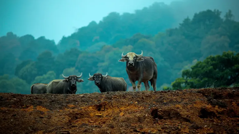
Physically the hill is more a gentle walk than a hard trek. From the point where jeeps drop visitors, a rock-laid path with benches and rest spots leads up across the meadows to the summit ridge, where the land opens out to panoramic views on every side. The grass is cropped and springy, cattle sometimes graze the slopes, and the whole place has the feel of a high common rather than a manicured park. On clear mornings the light is extraordinary; by mid-afternoon the mist usually returns.
The summit is quietly ecumenical. One knoll carries a Hindu shrine associated with the goddess Bhuvaneswari, its administration in recent years passing to the Travancore Devaswom Board, while a nearby rise carries Christian crosses — a small, unremarked symbol of how Idukki’s hill communities of different faiths have long shared the same high ground. Neither structure is grand; both draw pilgrims and walkers who climb for the view as much as for devotion.
Panchalimedu also has a particular place in the geography of Sabarimala. The hill is counted as part of the wider Poonkavanam, the sacred forest landscape around the Ayyappa temple, and it serves as one of the vantage points from which devotees try to glimpse the Makaravilakku, the sacred flame seen near Ponnambalamedu on Makara Sankranti in mid-January. On that night the ordinarily lonely ridge fills with pilgrims waiting in the cold for the distant light.
For the ordinary traveller, though, the appeal is simpler: a remote, uncommercialised viewpoint a short but rough drive off the Kottayam–Kumily road, where you can stand in the wind on an open hilltop, watch cloud pour over the Ghats, and feel a long way from anywhere. It rewards those who make the effort to get up the last steep stretch — and it stays refreshingly free of the crowds that fill better-known Idukki hill stations.
The story attached to Panchalimedu is a legend, part of the living folklore of the Idukki hills rather than documented history, and it is best enjoyed in that spirit. According to that tradition, when the five Pandava brothers of the Mahabharata were driven into exile and forced to wander the forests, they and their wife Panchali — better known as Draupadi — climbed into these high grasslands and took shelter here for a time, and it is from her that the hill is said to take its name.
Local lore fills in the details. A small pond near the summit, the Panchalikulam, is pointed out as the very place where Panchali is said to have bathed; tradition holds that it never runs dry even in the height of summer, which only deepens its aura. A cave on the hill, the Pandavaguha, is linked to the brothers, and one account claims it bears the footprints of the mighty Bhima, strongest of the five — again, a matter of belief handed down locally rather than anything that can be verified.
Another strand of the legend says that in gratitude for the help of the hill’s tribal people during their stay, the Pandavas gifted an idol of the goddess Durga to the tribal chief, an image later said to have moved to Valliyamkavu nearby — a small tale that ties the epic wanderers to the everyday sacred landscape of the region. Whether or not any of it happened, the naming is old and the association is heartfelt.
Travellers should treat all of this as devotional folklore rather than fact. There is no historical or archaeological evidence that the Pandavas passed this way, and similar Pandava-exile legends cling to many hills across southern India. What matters is that at Panchalimedu the myth is woven into the very ground — into the name of the hill, the pond and the cave — so that walking here is, for many pilgrims, a way of stepping briefly into the world of the Mahabharata.
Beyond the legend, Panchalimedu’s real history is the history of the Peermade highlands around it — a cool, high tableland of the Western Ghats between Kuttikkanam and Thekkady that for centuries was thinly peopled forest and grassland, the domain of tribal communities and grazing cattle rather than settled cultivation.
The modern shape of the region was set in the colonial era, when British and European planters, drawn by the temperate climate at around 900 metres and above, opened the Peermade and Kuttikkanam highlands to tea, coffee, cardamom and rubber from the later nineteenth century onward. The plantations, planters’ bungalows and hill retreats of that period gave the wider area its enduring character, and the tea slopes and rubber estates that surround Panchalimedu today are the direct descendants of that plantation economy.
Kuttikkanam and Peermade themselves grew into small highland centres on the Kottayam–Kumily route, once favoured as a summer resort by the rulers of the erstwhile Travancore state, who valued the bracing climate. Panchalimedu, lying just off this axis above Murinjapuzha, remained a remote upland — visited by pilgrims and herders but never developed into a plantation township — which is much of why it stays so unspoilt.
In more recent decades the hill has been promoted gently as a soft-adventure and viewpoint destination by the District Tourism Promotion Council, with a laid rock path, benches and basic visitor facilities added on the approach and summit. Its identity as part of the Sabarimala Poonkavanam and its role as a Makaravilakku viewing point have also kept it on the pilgrim map, so that its story is really two histories entwined — a plantation-era highland and an old sacred hill.
Elevation figures quoted for Panchalimedu vary between sources, from around 940 metres to figures cited locally of roughly 2,500 feet and above, reflecting how loosely the high grassland is measured; whatever the exact number, it stands well above the surrounding valleys, which is why the views are so expansive and the air so cool.
For one of the most atmospheric and least crowded viewpoints in Idukki — an open, windswept grassland hilltop where mist pours over the Western Ghats and deep green valleys fall away on every side.
For the pull of the legend: to stand on Panchali’s hill, seek out the Panchalikulam pond and the Pandavaguha cave, and feel the Mahabharata woven into the very ground beneath your feet.
For a gentle summit walk rather than a hard trek — a rock-laid path with benches leads up across the meadows, so the panoramic views are within reach of most reasonably fit visitors once you have made the rough jeep climb.
For the quietly shared sacred summit, where a Bhuvaneswari shrine and Christian crosses sit within sight of one another, and for the hill’s role as part of the Sabarimala Poonkavanam and a viewing point for the Makaravilakku flame.
For a genuine off-the-beaten-track feel close to Peermade and Thekkady — an uncommercialised highland that rewards the effort of getting there and pairs naturally with the plantations, viewpoints and wildlife of central Idukki.
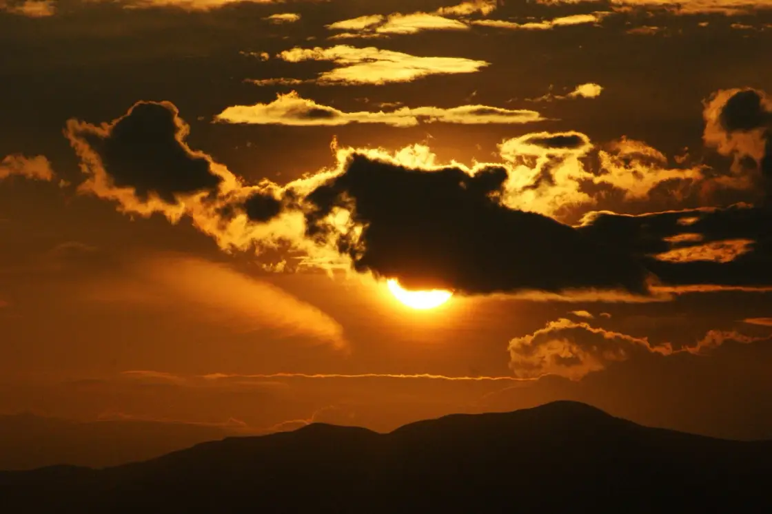
For photographers and lovers of big skies: the changing light, rolling cloud and layered blue ridgelines make dawn and the hours after rain unforgettable on the open meadow.
Road km to Idukki; ghat roads and traffic vary — allow extra.
Clear post-monsoon and winter days are best; mist can block views in hill areas.
Live forecast loads in your browser.
Check the official alert before you travel. Kerala’s beaches, waterfalls and trekking routes close at short notice during heavy rain, and district alert levels change day to day. We do not publish an alert level of our own — read it from the state authority: Kerala State Disaster Management Authority, or the district control room on 1077.
Sun and moon are calculated for this location and shown in IST. Photography windows are the hour around sunrise and sunset; the sunset bearing is degrees clockwise from true north. Moon phase is accurate to about half a day.
These are official or public-sector eco offerings that match this place, town or forest destination. Confirm availability, permits, tariffs and reporting times with the official operator before travel.

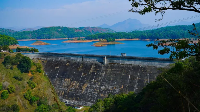
Forest and reservoir wildlife sanctuary around the Idukki-Cheruthoni dam landscape.
Official source →
Idukki reservoir viewpoint and pilgrimage hill, connected with Kerala Forest Ecotourism listings.
Official source →Verified hotels, homestays, restaurants, experiences, sights, shops and rentals around Panchalimedu — commission-free, with direct contact. Filter by what you need.
Dam and reservoir viewpoint in Idukki and Cheruthoni. Kulamavu, Idukki district, Kerala · Kulamavu, Dam, Idukki Reservoir.
Wildlife sanctuary in Idukki and Cheruthoni. Idukki Wildlife Sanctuary, Idukki district, Kerala · Idukki, Wildlife sanctuary, Cheruthoni.
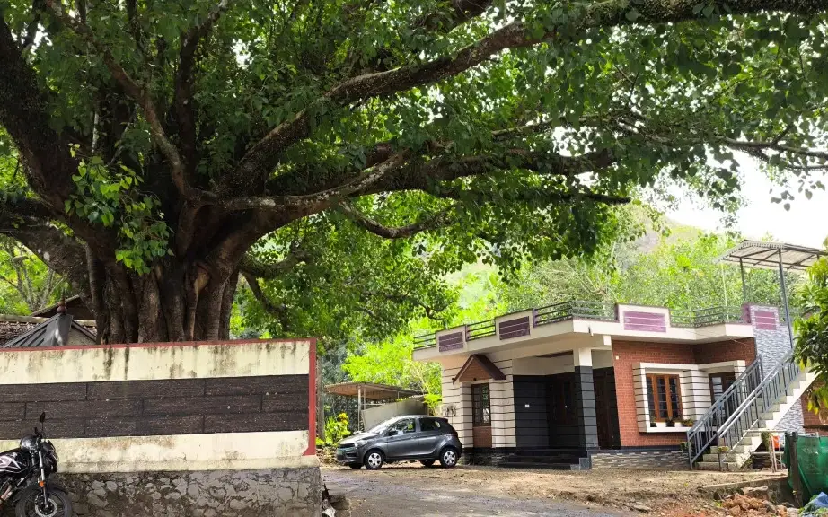
Panchami Homestay Cheruthoni is a Kerala Tourism-listed Silver House homestay at Idukki Colony P.O., Alinchuvadu, useful for travellers comparing simple Cheruthoni/Painavu stays with homely Kerala food, Wi-fi, car hire, parking and Idukki reservoir route access. Homestay tariff · Cheruthoni, Idukki Colony, Homestay.
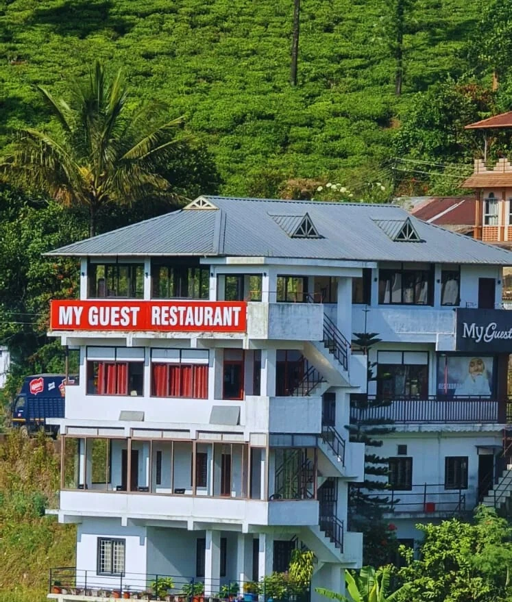
Kuttikkanam restaurant in Idukki and Cheruthoni. My Guest Restaurant, NH-183, Theni By-Pass, Pambanar, Peerumade, Idukki, Kerala 685531 · Restaurant menu pricing · Kuttikkanam, Pambanar, Restaurant.
Kerala Tourism destination record for Peermade Ayurveda, Panchakarma, herbal medicine, yoga and wellness stays.
Kerala Tourism-certified serviced villa at Parunthumpara with infinity pool, food and activity evidence.
Elam Villa Parunthumpara Peermade is a Kerala Tourism-listed serviced villa record for travellers comparing Parunthumpara, Pambanar and Peerumedu stays with direct phone, email and website evidence. Parunthumpara, Peermade, Serviced villa.
Kerala Tourism-listed plantation retreat at Murinjapuzha with restaurant, pool and estate-walk evidence.
Kerala Tourism-listed Ladrum Estate homestay with stream, food, Wi-fi, car-hire and activity evidence.
Kerala Tourism-listed serviced villa near Pambanar and Peermade, surrounded by tea and cardamom plantations.
Government Yathri Nivas eco lodge at the Peerumedu Government Guest House compound. A simple budget Kerala Tourism-run lodge base for Peermade and Kuttikkanam.
Government Yathri Nivas eco lodge behind DTPC Idukki Park near IDA Ground, Painavu. A budget Kerala Tourism-run lodge base for Cheruthoni, the Idukki Arch Dam and Kalvari Mount.
Kuttikkanam restaurant in Idukki and Cheruthoni. Agincourt, Kuttikkanam, Peerumedu, Idukki, Kerala 685531 · Kuttikkanam, Restaurant, Peerumedu.
Jacobs Heaven is a Kerala Tourism-listed serviced villa at Kuttikkanam. The villa has an Ayurveda centre, homely Kerala food, Wi-Fi and online reservation for a quiet high-range stay.
Kerala Tourism-listed Kuttikkanam homestay with address, phone, email, food and Wi-fi evidence. MBC College Road, Pallikkunnu P.O., Peerumade, Kuttikanam, Idukki, Kerala 685531 · Budget to mid-range homestay · Kuttikkanam, Peerumade, Homestay.
Monsoon Mist Kuttikkanam is a Kerala Tourism-listed homestay on Dreamland Road, useful for travellers comparing private-suite stays with kitchen access, Western Ghats views, rooftop pool context and Peermade high-range routes. Premium homestay suites · Kuttikkanam, Peermade, Homestay.
Misty Mountain Plantation Resort sits at Kuttikanam, Peermade. The Kerala Tourism-listed plantation resort offers a restaurant, tea-estate experiences and estate walks across the high-range plantations.
Hotel restaurant in Idukki and Cheruthoni. Igloo Heritage Resorts, Cheruthoni, Idukki district, Kerala · Hotel restaurant.
Cheruthoni resort and hotel in Idukki and Cheruthoni. Idukki-Adimali Road, Cheruthoni, Kerala 685602 · Cheruthoni, Idukki, Resort.
Kerala Hydel Tourism source for the Idukki Arch Dam attraction. Idukki Arch Dam, Hydel Tourism, Cheruthoni.
DTPC Idukki source for Cheruthoni Dam near the Idukki Arch Dam reservoir system. Cheruthoni, Dam, Idukki.
Book with the place itself. India’s cyber-crime coordination centre warned in April 2025 that convincing copies of hotel and pilgrimage booking sites are being pushed through sponsored search and social ads, taking payment for rooms the property never hears about. Every listing here links to the business’s own contact details and its own Google or Bing profile — we take no commission and sit in nobody’s payment path. If a booking page reached you through an ad, check the address bar against the property’s own site before you pay. Fraud can be reported on cybercrime.gov.in or on 1930.
Find food, accommodation and activities across Idukki and Cheruthoni. Browse the guides for places to eat, stay and explore along your route.
Walking routes start at Panchalimedu. Check the route and access before setting out, especially where a road, gate or waterway separates the stops.
20 more places around Idukki and Cheruthoni. Open a guide to plan the visit and onward journey.
A Peerumedu ridge walk through plantation and high-range scenery, with access dependent on the chosen trail, land permission and current weather.
21.8 km · ~36 min by cab
The long pedestrian suspension bridge above the Idukki reservoir at Ayyappancoil, valued for water and hill views as well as the crossing itself.
A secluded waterfall below Kuttikkanam whose approach has depended on estate tracks and regulated jeep routes; current legal access must be established first.
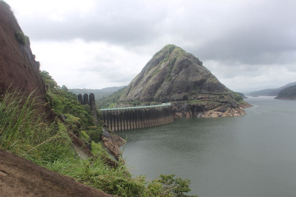
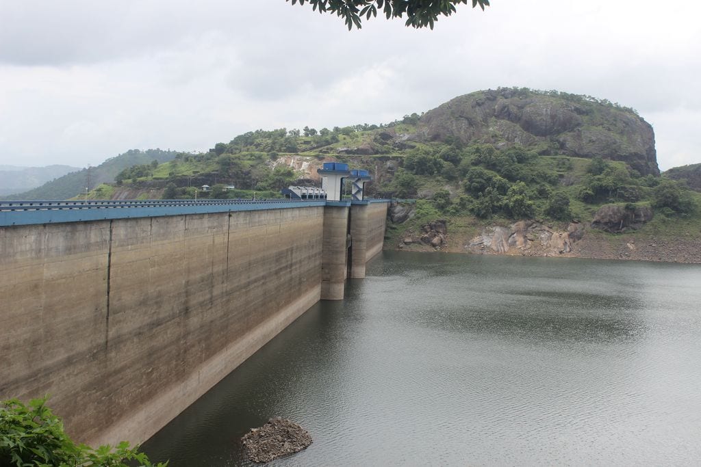
The 138-metre concrete gravity dam a kilometre west of the Idukki arch dam, carrying the five radial gates that are the only spillway for the whole Idukki reservoir — the gates opened in a south-west monsoon for the first time on 9 August 2018.
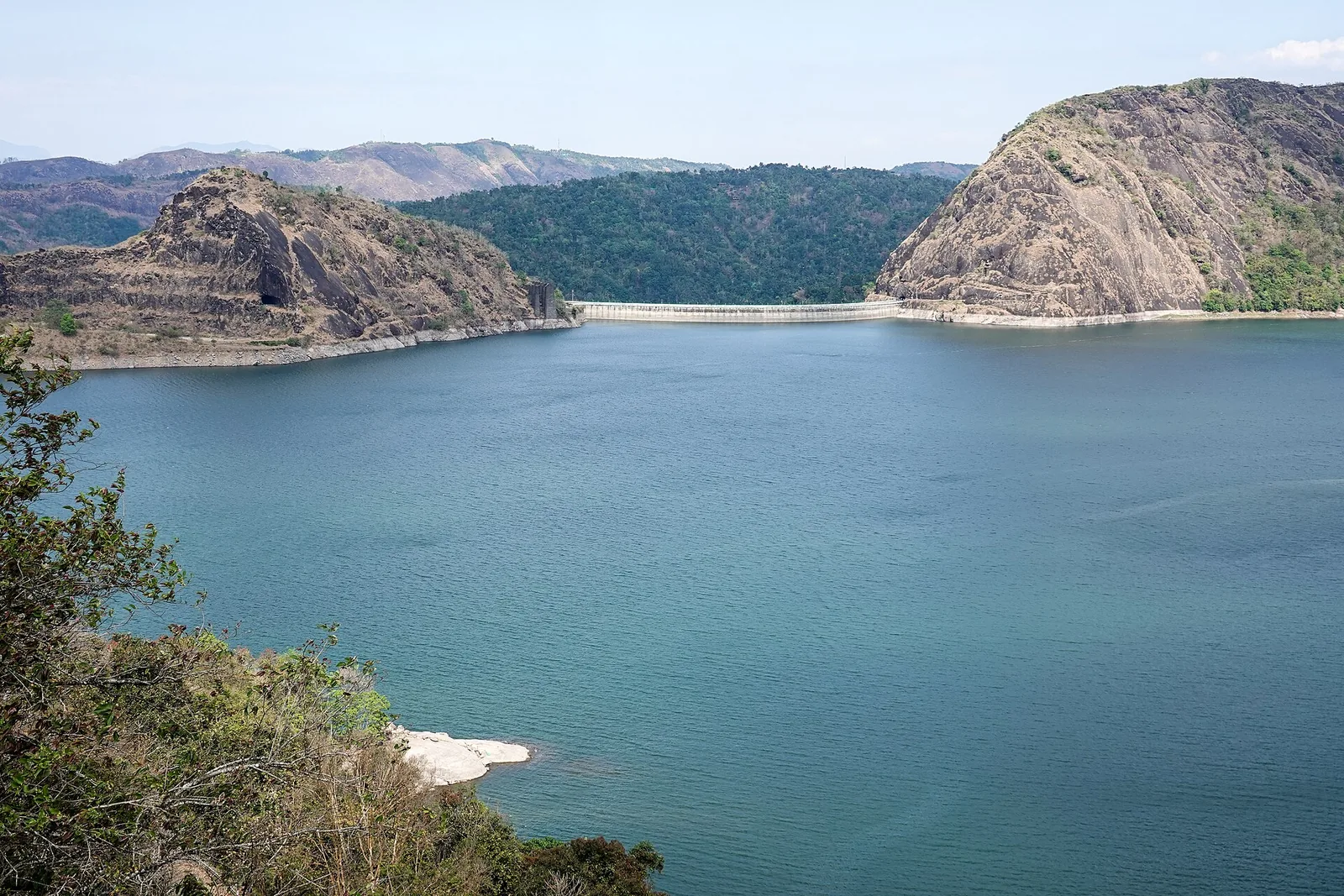
The DTPC’s eight-acre garden and viewing park on the Vellappara shoulder above the Idukki reservoir, about 350 ft above the water. It is the dependable way to see the Idukki arch dam — strung between Kuravanmala and Kurathimala, roughly 1.6 km east-north-east — because the dam crest itself is shut most of the year and this is open every day from 08:00 to 19:00.
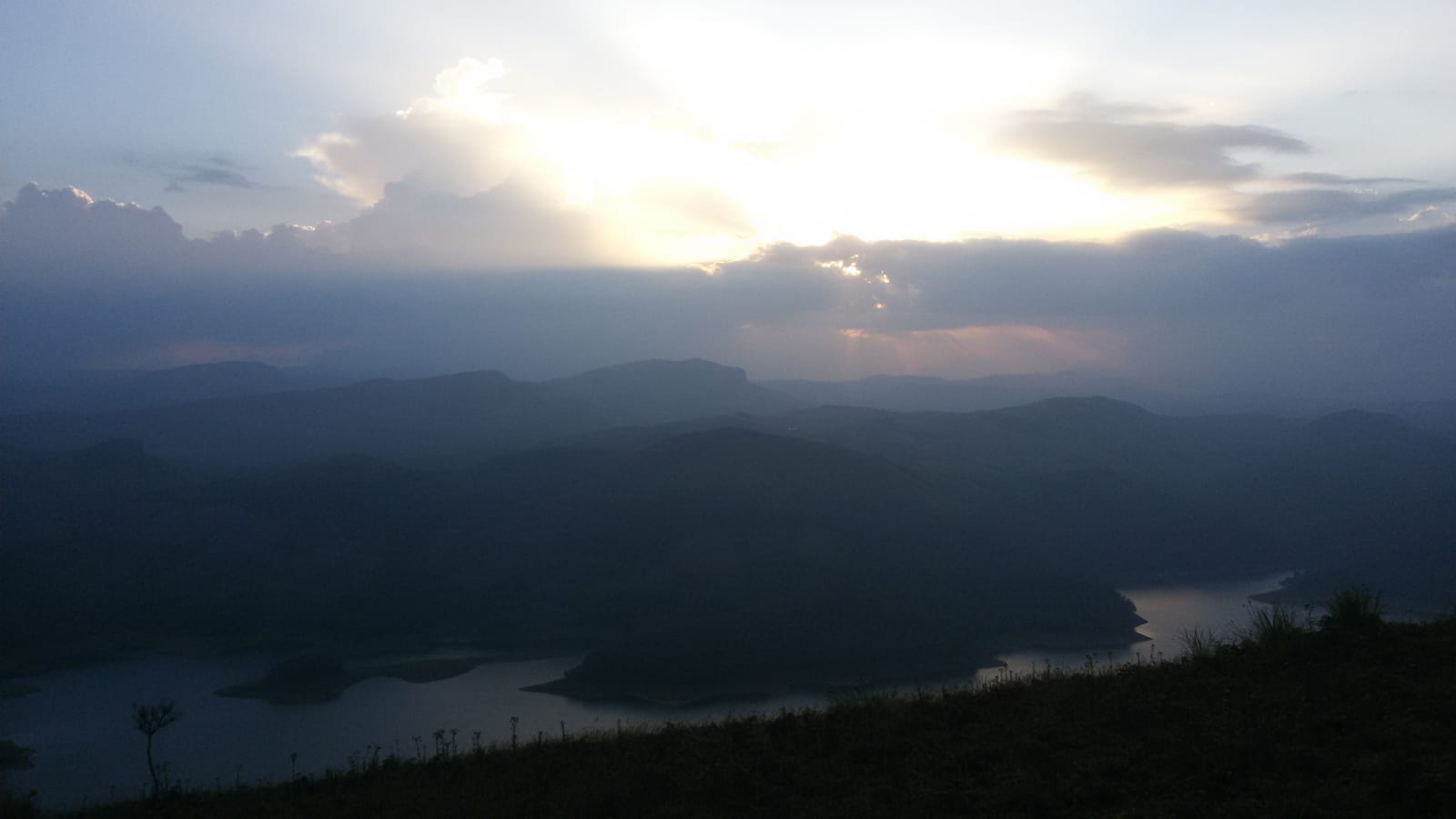
Reservoir-view hill point near Idukki and Cheruthoni, useful for scenic drives, photos and central high-range itineraries.
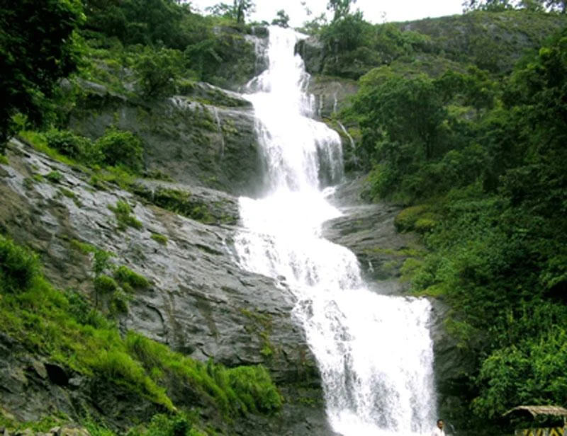
Waterfall on the Kochi-Munnar road, commonly paired with Valara as a high-range arrival stop.
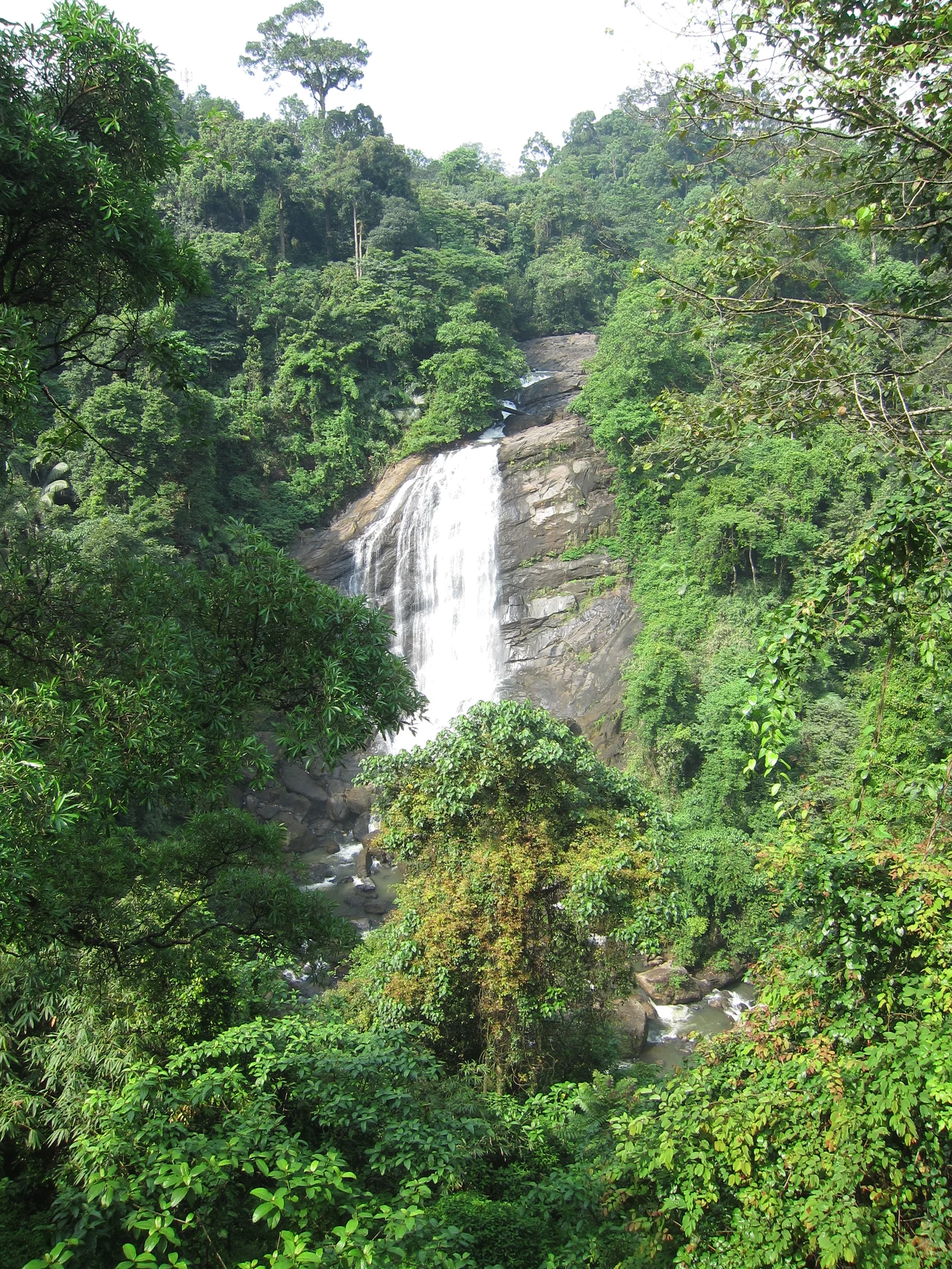
Valara is the forest-framed Deviyar cascade beside NH85 between Neriamangalam and Adimali in Idukki. It is a separate roadside stop from Cheeyappara, with viewing from the road and no assumed access to the waterfall base.

14.2 km · 15 min drive
Peermade, also written Peerumedu or Peermede, is a plantation settlement and highland landscape on the Kottayam–Kumily road in Idukki. The map uses the town centre as a visitor base, not a single hilltop attraction.

10.2 km · 12 min drive
Peermade-side hill-station and adventure-tourism area, useful for tea estates, pine roads and central high-range routing.
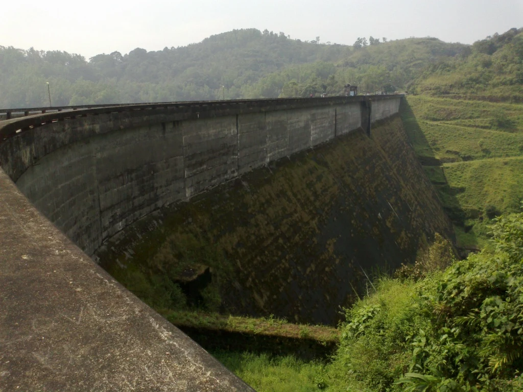
Kulamavu is KSEB’s gravity dam on Kilivallithodu and one of three dams forming the Idukki reservoir. Visit through the hydel-tourism arrangements; reservoir views do not authorise entry to restricted infrastructure.
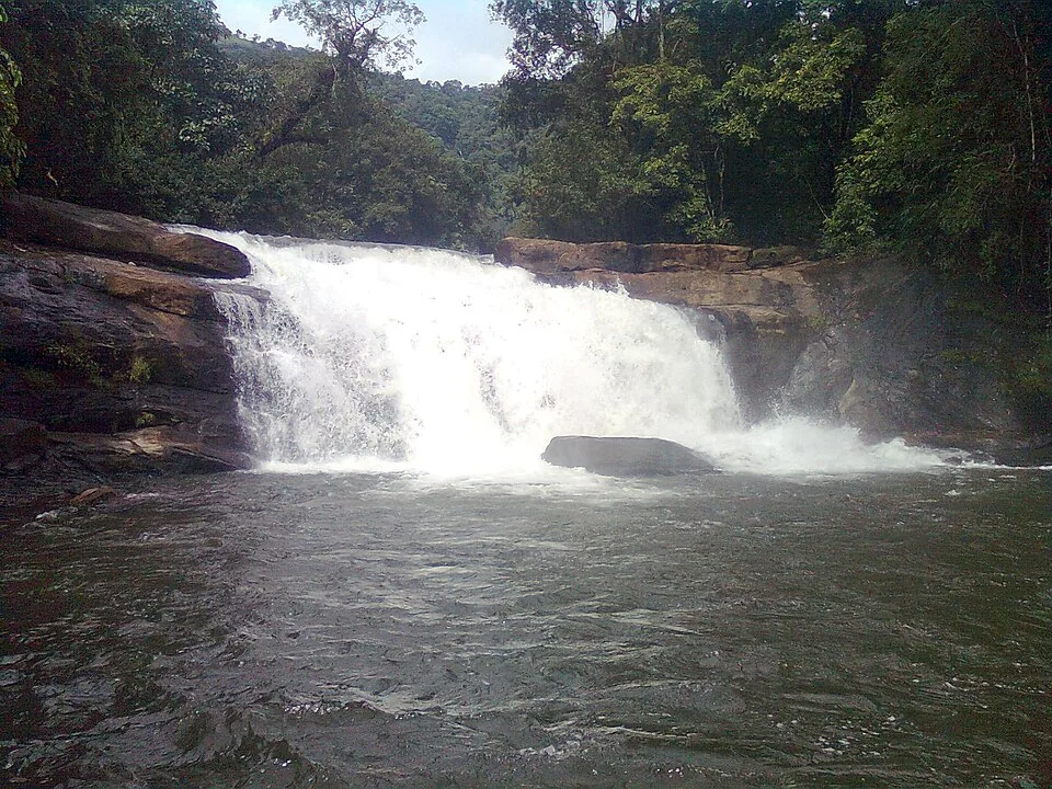
Seven-step cascade and eco-tourism trekking spot on the Kaliyar river near Thodupuzha, with rock pools, forest paths and a Forest Department eco-tourism trail.
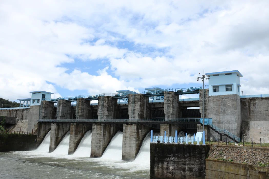
An Irrigation Department dam and reservoir at Muttom near Thodupuzha, storing Thodupuzha River runoff and Idukki power-station tailwater for the Muvattupuzha Valley Irrigation Project; the visitor park has its own permitted areas.
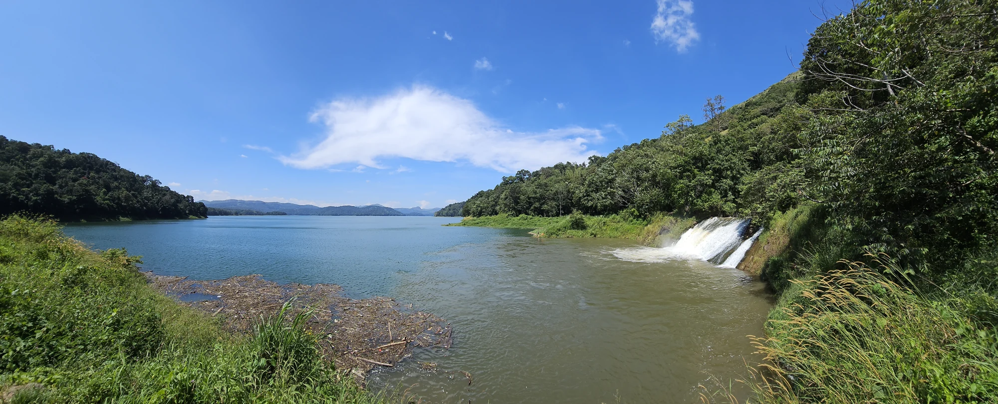
The Anchuruli reservoir-side landscape near Kattappana, where the Erattayar diversion tunnel discharges towards Idukki reservoir. Plan an exterior viewpoint visit; the water tunnel is working infrastructure.

Protected forest around the Idukki and Cheruthoni reservoirs near Painavu, with hilly evergreen woodland, elephants and boat-and-trek access arranged through the Forest Department.
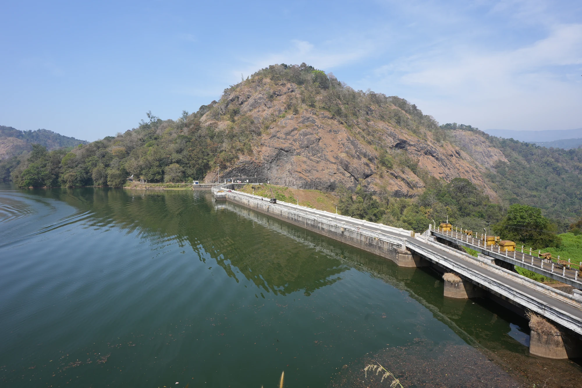
KSEB’s Panniyar-project dam at Konnathadi near Rajakkadu and Vellathooval in Idukki; a reservoir-and-engineering visit, distinct from Ponmudi hill station in Thiruvananthapuram.
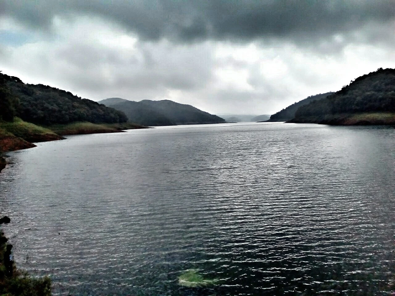
The hill headquarters town of Idukki district near the arch dam, a quiet high-range base for Idukki–Cheruthoni dam-side sightseeing and the surrounding reservoir viewpoints.
21.6 km · 24 min drive
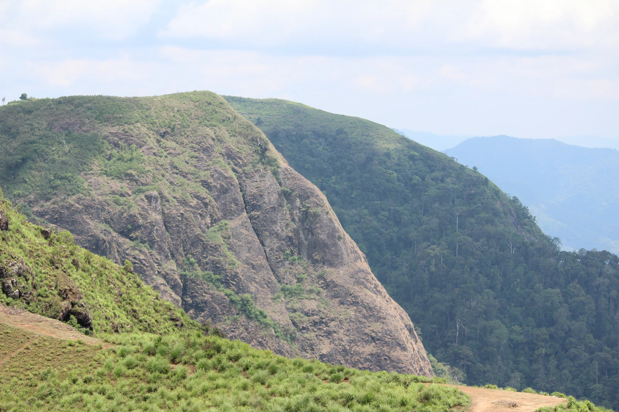
A rock-and-grass viewpoint near Peermade on the Pambanar side of Idukki, overlooking steep wooded ravines; known as Eagle Rock and for the profile-like Tagore Rock formation.
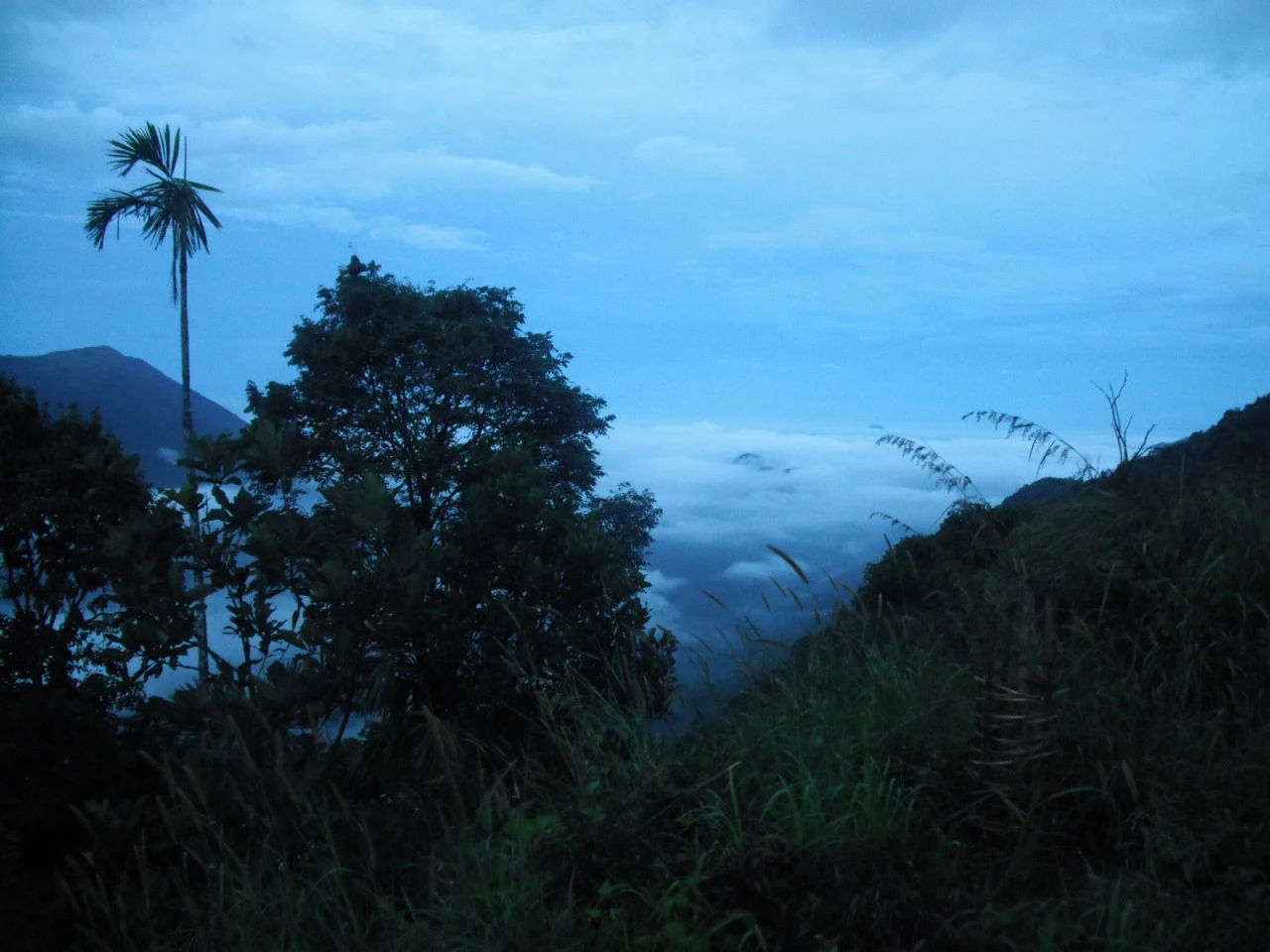
Ghat viewpoint on the Thodupuzha–Puliyanmala road overlooking the Idukki high range, a popular stop for valley views and cool breezes.
Roampedia is commission-free — own or know a stay, eatery, guide or shop near Panchalimedu? List it and it appears here once verified.
Add a nearby businessEntry: Only a nominal entry or facility fee, if any, is collected locally; jeep hire for the final climb is the main cost.
Festivals: Makara Sankranti in mid-January, when pilgrims gather to view the Makaravilakku flame seen near Ponnambalamedu; the hill is counted as part of the Sabarimala Poonkavanam.
Photography: Free to photograph the meadows, mist and panoramic views; be considerate at the Bhuvaneswari shrine and Christian crosses, and carry protection for gear against sudden mist and rain.
If you are travelling by bus or ferry, check the return service with the operator before setting out. Leave time to reach the stop or jetty after your visit.
Ask at the bus stand for the time of the last service back, not the next one. If you miss it, an auto or app cab is the fallback — agree the fare before you get in.
If you need step-free access, contact the site before travelling. Ask about a level entrance, steps along the route, the nearest drop-off point, seating and accessible toilets.
These services are listed within about 1.2 km of Panchalimedu. Walking distances follow mapped routes; access and opening hours can change. Other services may be closer but are not included here.
Emergency numbers are verified against official government and state tourism sources. 112 works anywhere in India.
Peermade-side hill-station and adventure-tourism area, useful for tea estates, pine roads and central high-range routing.
10.2 km · 12 min drivePeermade, also written Peerumedu or Peermede, is a plantation settlement and highland landscape on the Kottayam–Kumily road in Idukki. The map uses the town centre as a visitor base, not a single hilltop attraction.
14.2 km · 15 min drive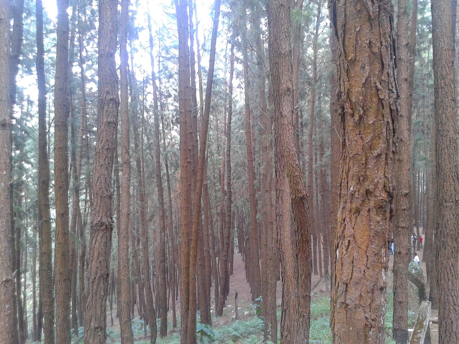
A 61.40-hectare plantation of Caribbean pine on the Kolahalamedu shoulder above Vagamon — planted in rows by the Kerala Forest Department’s research wing on land that was not legally forest at all until March 2021, and run today as a ticketed ecotourism centre with a counter, a car park and a made path. Every travel site calls it a British-era forest; the state’s own record calls it the Kolahalamedu Pine Plantation.
14.7 km · ~25 min by cab · straight line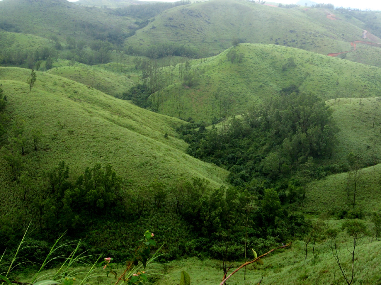
The Kolahalamedu ridge above Vagamon — grass hills the state names as one of only two accredited paragliding sites in Kerala, and the launch ground for a carnival its own website has not updated since 2015. What you come for is the open meadow ridge and the valley it drops into; whether anyone is flying on the day is a question for a licensed operator, not a website.
15.7 km · ~26 min by cab · straight line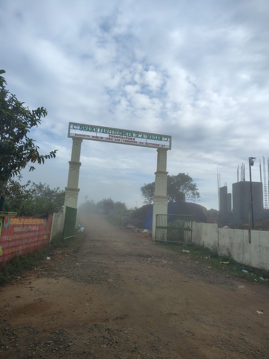
A working Muslim pilgrimage centre on a bare granite dome above Vagamon, on the Kottayam side of the district line. It calls itself the Shaikh Fareedudheen (R.A) Maqam, and the life set out at its gate — the saint’s father, mother, teachers and date of death — is that of Fariduddin Ganjshakar, Baba Farid, whose dargah is at Pakpattan in the Punjab. Kerala Tourism calls this rock his grave; the shrine says maqam, which is the smaller and more careful word.
16.0 km · ~27 min by cab · straight line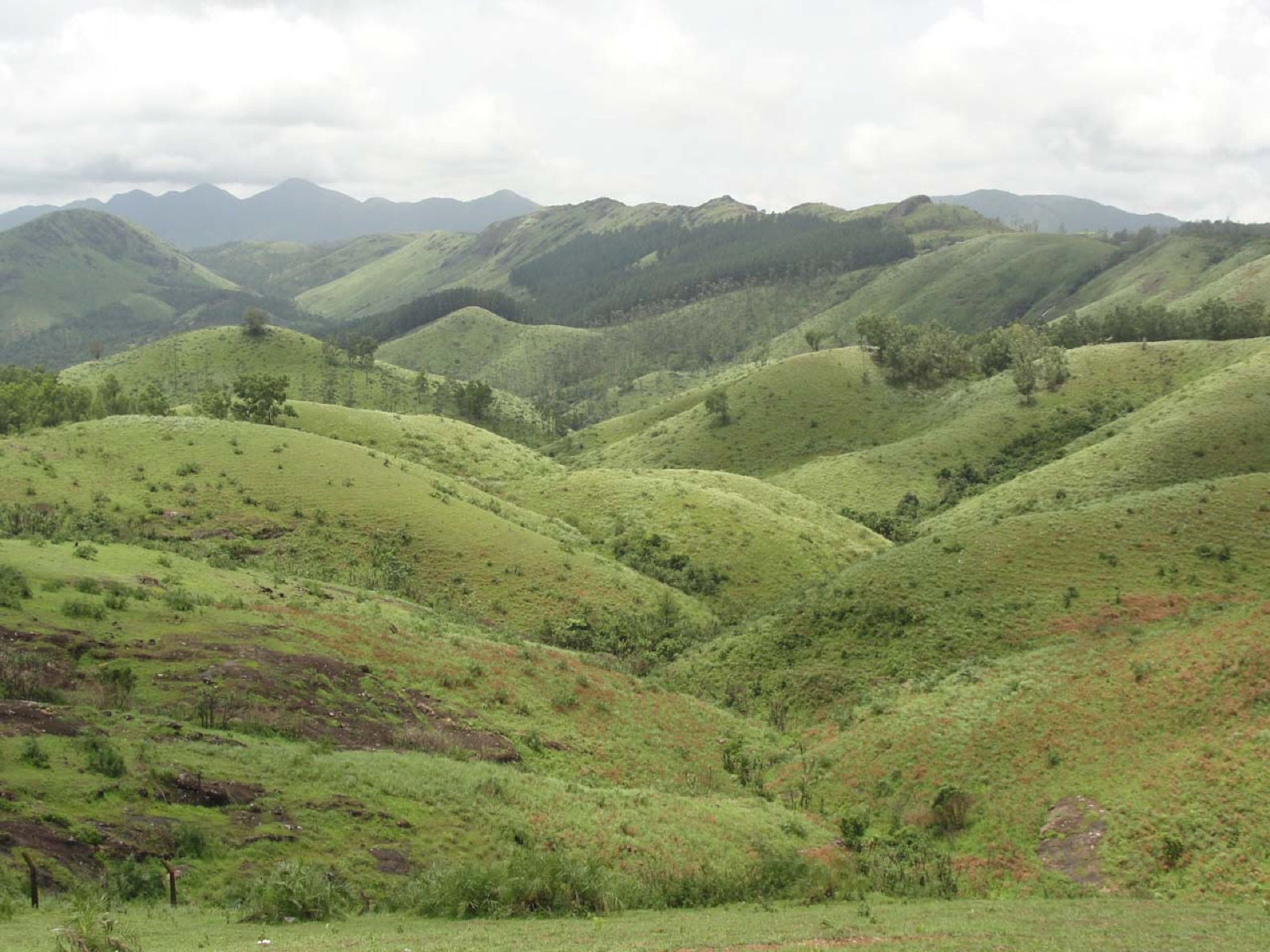
Open meadow landscape forming the classic Vagamon sightseeing circuit.
16.1 km · ~27 min by cab · straight line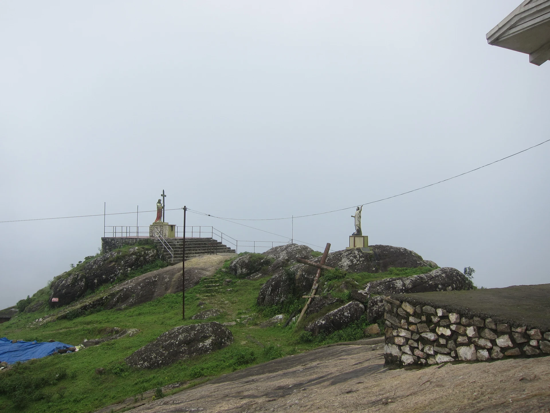
The pilgrim hill above Vagamon — a bare rock dome climbed by a 1.2 km path lined with the Stations of the Cross to St Thomas Church on the summit, and, 818 m away and lower down, the separate Cistercian monastery of Kurisumala Ashram, founded in 1958. Most descriptions run the two together; they are different places with different approaches and different people in charge.
18.9 km · ~31 min by cab · straight line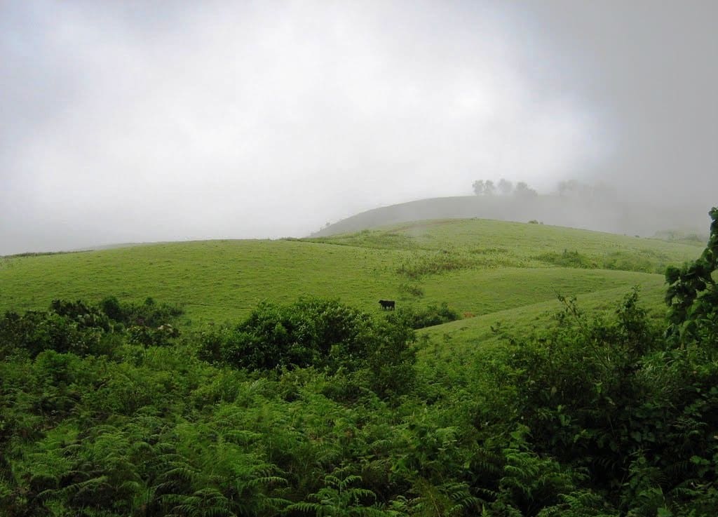
Rolling meadows, pine patches and viewpoints on the Idukki/Kottayam highland edge.
18.9 km · ~31 min by cab · straight line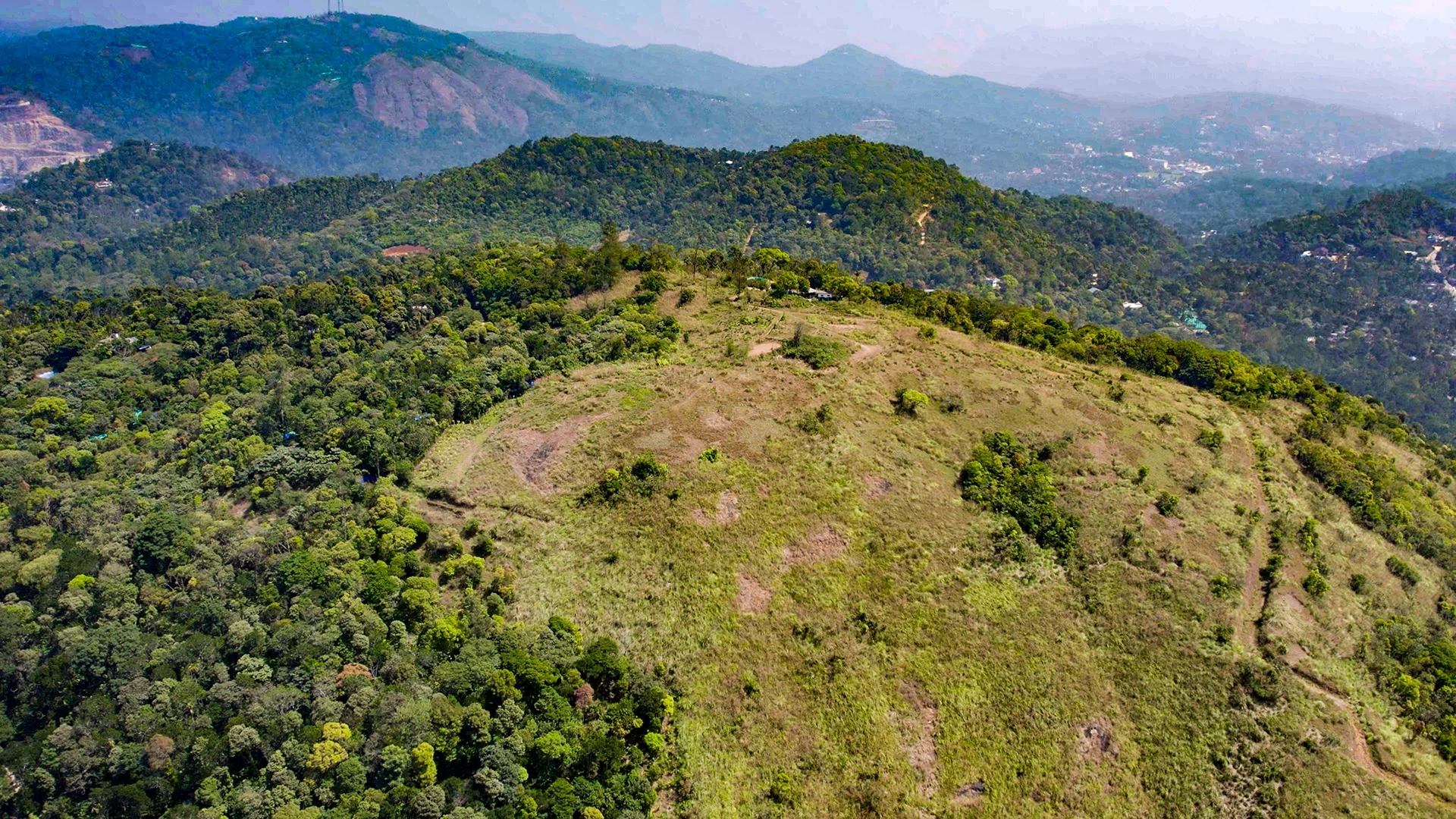
Murikkady, also mapped as Murickady, is a plantation settlement near Kumily in Idukki. Use the village as an orientation base and a separately confirmed estate entrance for a spice or plantation visit.
20.5 km · ~34 min by cab · straight line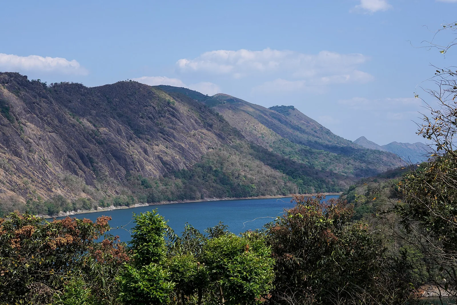
The Forest Department’s guided walk on the grass tops at the southern end of the Idukki Wildlife Sanctuary, about ten kilometres by road from Vagamon — some seven kilometres on foot up jeep track and open ridge, with the Idukki reservoir catchment below you. The state will not sell it to fewer than six people, and it will not take more than seven.
20.9 km · ~35 min by cab · straight lineA rock-and-grass viewpoint near Peermade on the Pambanar side of Idukki, overlooking steep wooded ravines; known as Eagle Rock and for the profile-like Tagore Rock formation.
21.6 km · 24 min driveThe long pedestrian suspension bridge above the Idukki reservoir at Ayyappancoil, valued for water and hill views as well as the crossing itself.
21.8 km · ~36 min by cab · straight lineWalking and driving times are real routed distances, except the few marked “straight line”, which are direct-line estimates and will read short. Fare figures are estimates from Kerala’s notified auto/taxi tariff and exclude waiting and night charges. Routing: © openrouteservice.org by HeiGIT | Map data © OpenStreetMap contributors
Nearby toilets, pharmacies, ATMs, seating and vets are community-mapped and may be incomplete or out of date. Map data © OpenStreetMap contributors | Walking times © openrouteservice.org by HeiGIT
The name means Panchali’s hill — Panchali being another name for Draupadi, wife of the five Pandava brothers, and medu meaning hill in Malayalam. Local legend holds that Panchali and the Pandavas sheltered here during their forest exile, and the hill is named for her.
It is a much-loved local legend rather than documented history. There is no historical or archaeological proof that the Pandavas came here, and similar Mahabharata-exile stories are attached to many hills in southern India. It is best enjoyed as devotional folklore that gives the hill, its pond and its cave their names.
It is a small pond near the summit that tradition says is where Panchali bathed during the exile. Local belief holds that it stays filled with water even in the height of summer. Nearby is the Pandavaguha, a cave linked to the Pandavas and said in local lore to bear the footprints of Bhima.
The final approach is a steep, rough uphill drive best done by hired jeep from Murinjapuzha or Kuttikkanam. From the drop-off, a rock-laid path with benches leads gently up across the meadows to the summit, so the walking itself is easy — it is the road that is the challenge.
The cooler, clearer months from roughly September to March are generally most pleasant, with September to November offering lush green post-monsoon views. The Makara Sankranti period in mid-January draws pilgrims hoping to see the Makaravilakku flame. Afternoons often mist over year-round, so early morning gives the clearest views.
Yes. The summit has a Hindu shrine associated with the goddess Bhuvaneswari, recently placed under the Travancore Devaswom Board, and a separate rise with Christian crosses. Panchalimedu is also considered part of the Sabarimala Poonkavanam and is used as a vantage point for the Makaravilakku on Makara Sankranti.
Clear post-monsoon and winter days are best; mist can block views in hill areas.
Entry: Only a nominal entry or facility fee, if any, is collected locally; jeep hire for the final climb is the main cost. Timings: Roughly 6:00 am to 6:30 pm for daytime visits; as an open hill there is no fixed gate, but it is unwise to be on the misty ridge or rough road after dark.
Base yourself in Idukki and Cheruthoni or a nearby town in Idukki, then confirm the last-mile route locally before leaving. Go early for clearer light and easier parking; sunset viewpoints can crowd quickly. If the visit depends on forest, temple, boat, ferry, weather or seasonal access, check the official/local rule on the day before travel.
45 minutes to 2 hours.
Nearby you can pair Kuttikkanam (10.2 km), Peermade (14.2 km), Pine forest (14.7 km), Paragliding viewpoints (15.7 km).
Stay behind barriers and away from cliff edges. Avoid viewpoints during lightning or heavy rain.
We have not published a story about Panchalimedu itself yet. These cover Idukki and Cheruthoni and the wider district, with separate journeys between stops.
These guides explore Idukki and Cheruthoni and the surrounding area. Choose a visit that fits your interests, allowing separately for travel between stops.


Route-level itineraries and practical guides for the rest of Kerala.
Photographs: Ezhuttukari (CC BY-SA 3.0), Athulvis (CC BY-SA 4.0), Department of Tourism, Government of Kerala (© Kerala Tourism), Alanjs (CC BY-SA 4.0). Wikimedia Commons.