Anchuruli

Anchuruli, also written Anjuruli, is a reservoir-side destination in the Kanchiyar area near Kattappana. Its defining feature is the circular outlet of the Erattayar–Idukki water tunnel, set into a rock face above the reservoir. The tunnel, short cascade and wooded water margins form one landscape, but they are different features: this is not the Idukki arch dam or a natural cave.

Anchuruli, Idukki and Cheruthoni
Practical guide

Plan Anchuruli

Who's going?Tailor Anchuruli to your trip
Typeviewpoint
AreaIdukki and Cheruthoni
DistrictIdukki
Best timeChoose daylight and a period without…
Time neededAllow roughly one hour as a planning…
Places to visit12Listed businesses17

Come for an exterior view of the engineered opening and the reservoir’s changing shoreline. The visible opening carries water into the Idukki system. A low-flow photograph showing people inside does not make the tunnel a visitor passage, and a view of bare reservoir banks does not establish a safe walking route across them.

The story

A nearly circular opening interrupts the rough rock wall at Anchuruli. Beyond it lies an engineered route through the hill; below it, water meets the irregular outline of a reservoir. The contrast between a measured opening and a changing shoreline is the place’s strongest visual feature.

The story of Anchuruli

The tunnel is easiest to understand as one end of a journey made by water. Erattayar lies upstream in the diversion system, and the opening at Anchuruli delivers that water towards Idukki reservoir. The dark interior can draw the eye like a cave, but the circular section and its purpose belong to civil engineering. The meaningful visitor view is from outside, where the outlet can be seen in relation to the rock face and the receiving water.

The rock around the opening has an uneven, blocky surface. Inside, the visible curve is more regular. This makes the boundary between excavated passage and surrounding hill legible even without a technical drawing. A close view concentrates on that geometry; a wider one shows how the water moves away from the opening towards the reservoir.

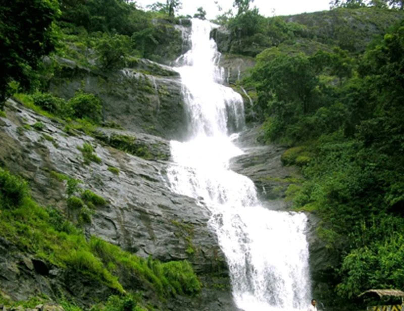
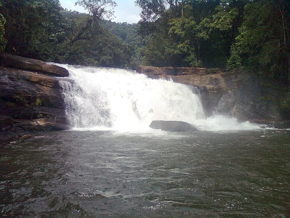
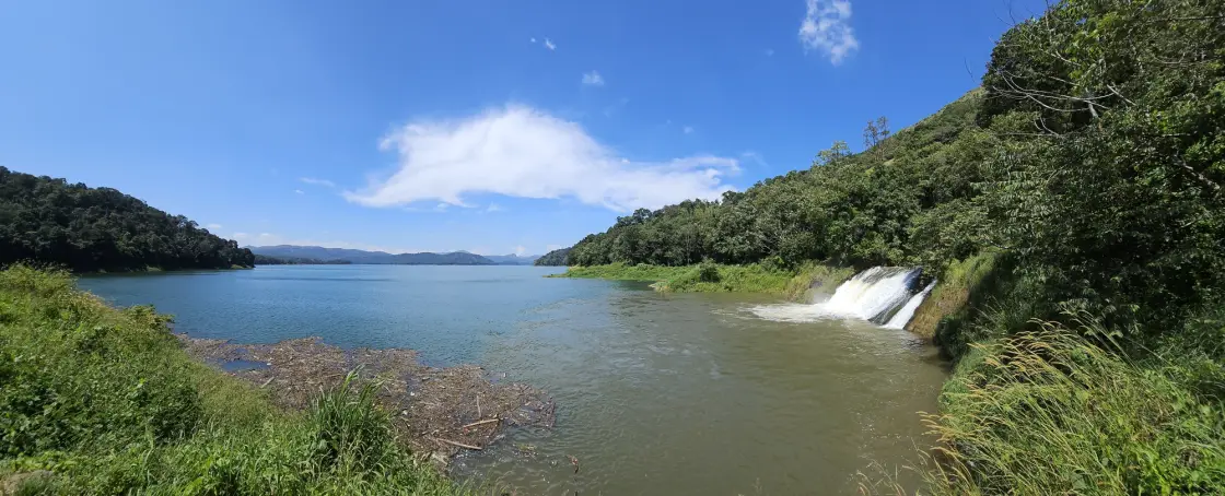
The short cascade below the outlet is not a second high waterfall hidden in the forest. In the photographs it runs over a broad sloping rock surface, at times as a narrow stream and at others as a wider white sheet. Water level and discharge determine how much of that surface remains visible. The same fixed rock can therefore produce very different-looking photographs.

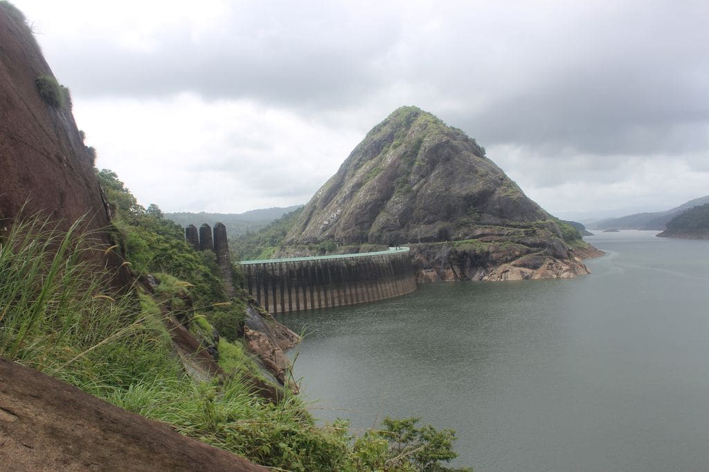
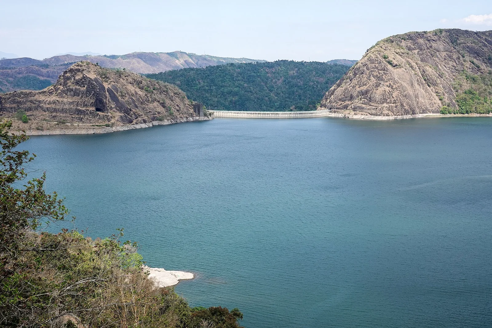
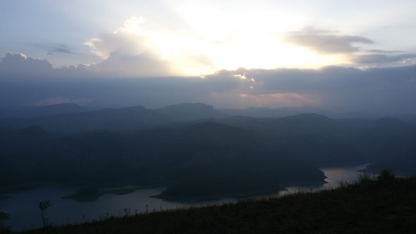
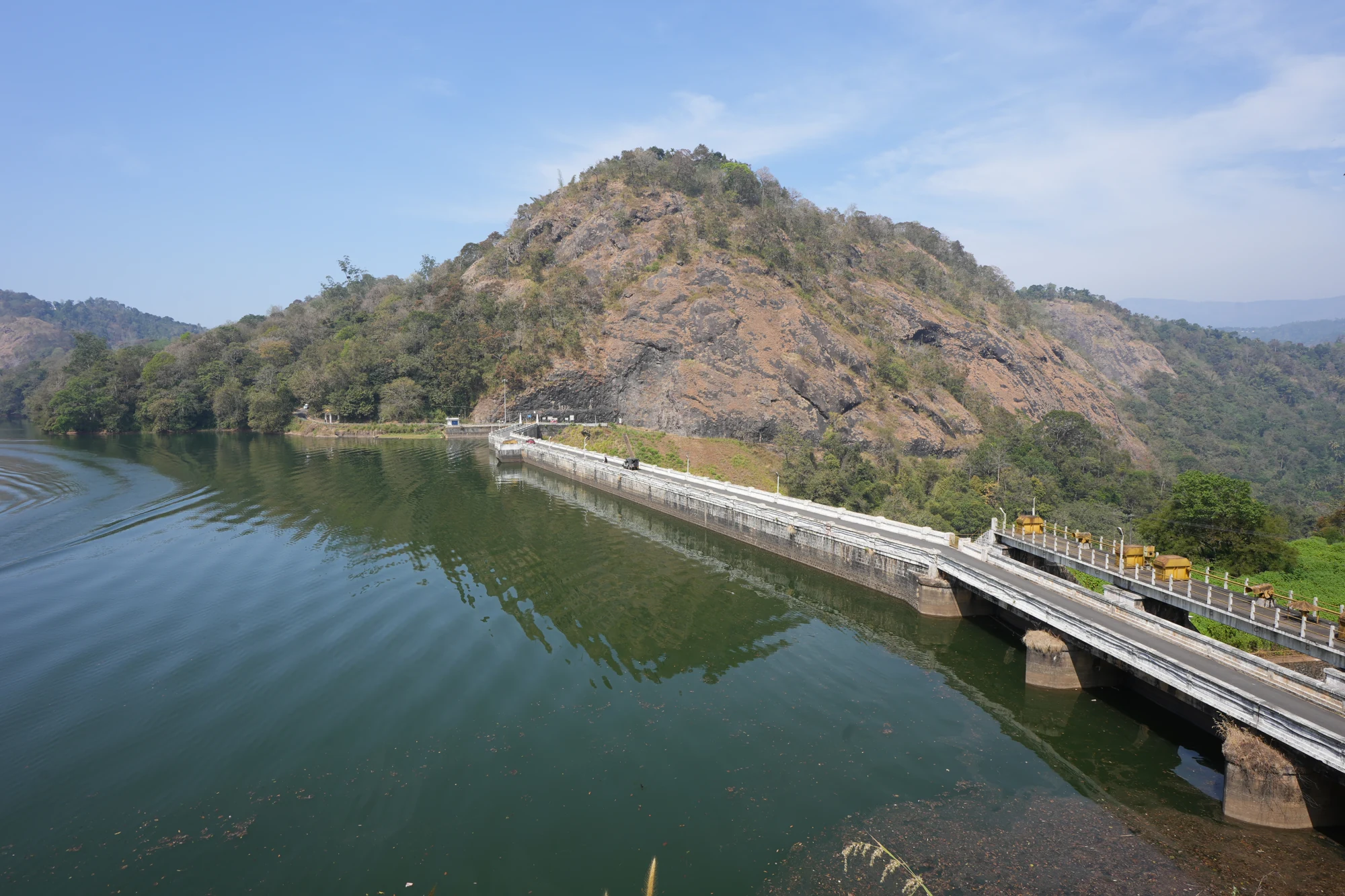
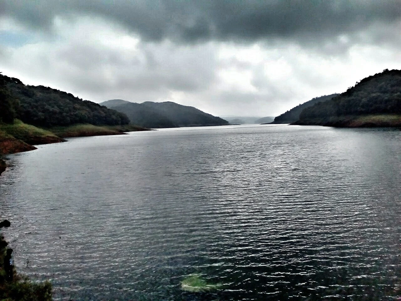
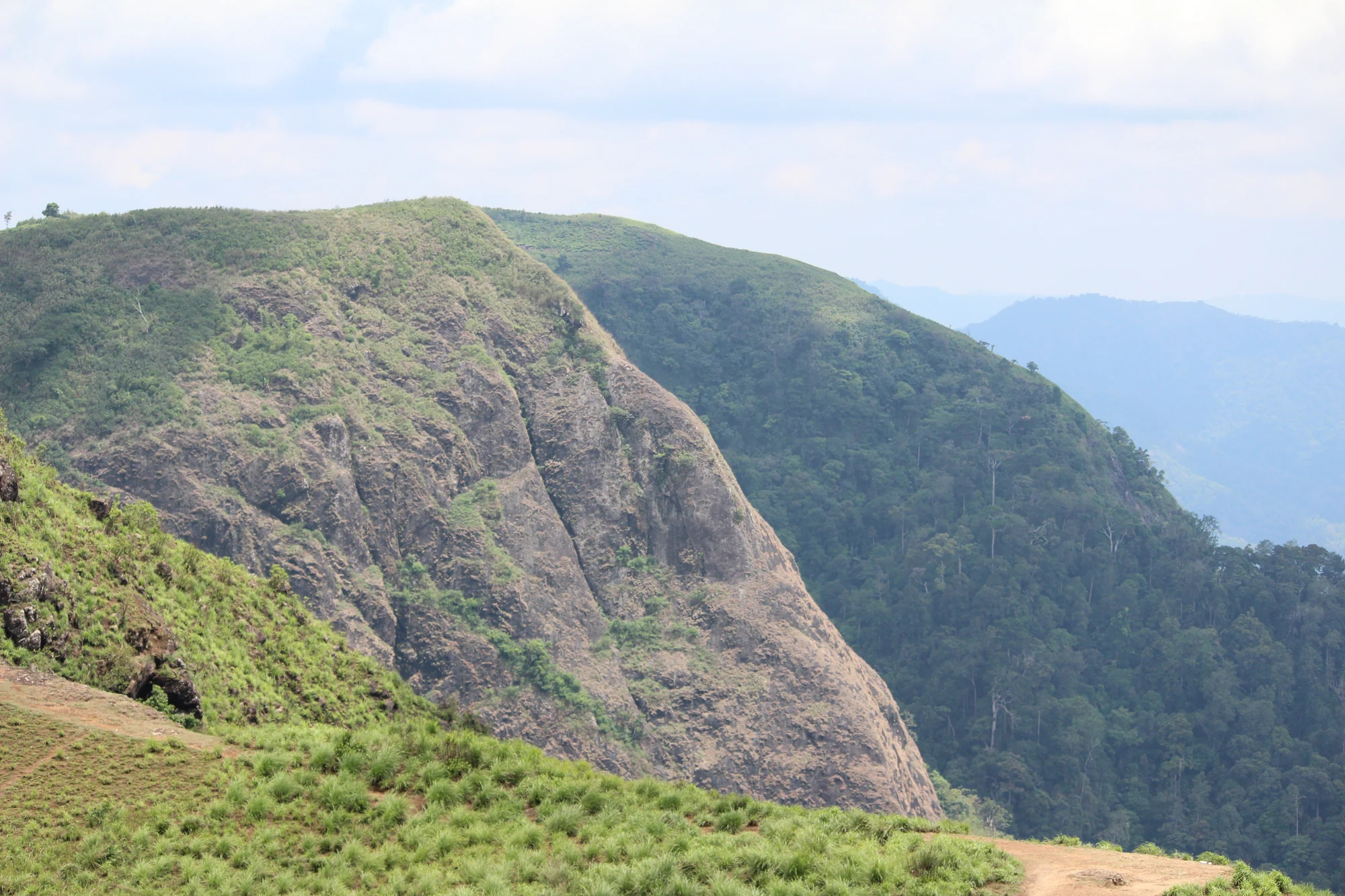
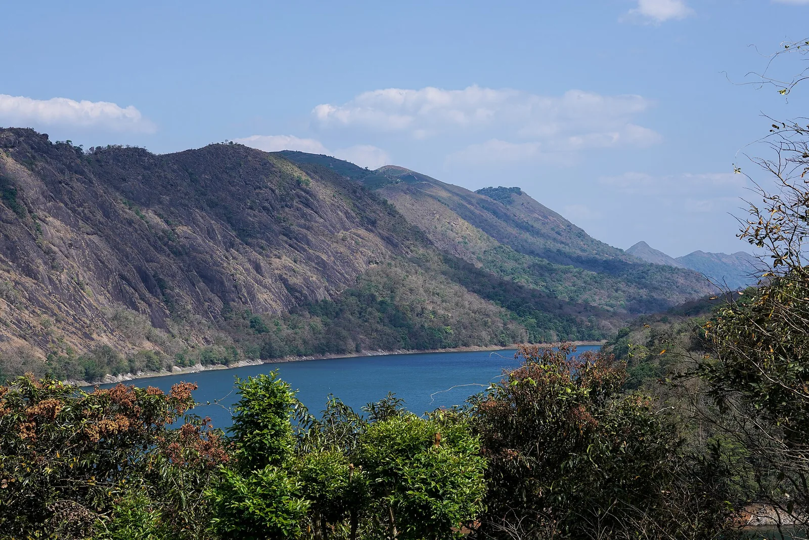
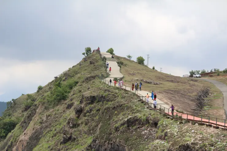
Turning towards the reservoir changes the scale of the visit. The near bank curves into points and shallow inlets, while wooded hills continue across the water. Bare horizontal bands mark the exposed margins in lower-water photographs. These are part of a fluctuating reservoir shore, not terraces built for visitors to descend.

Kerala Tourism records a local explanation of the name: five hill forms are likened to inverted cooking vessels when lower water reveals their outlines. This is a landscape interpretation associated with Anchuruli. It should not become a promise that exactly five separate islands will be visible on every visit, or an invitation to reach them across exposed ground.

The smaller channels also belong in the picture. The Irrigation Department’s Periyar basin report records Kattappanayar joining Idukki reservoir at Anjurali and describes Palakada thodu reaching the reservoir in the same locality. The water landscape is therefore wider than the single celebrated tunnel. The tunnel is an engineered contribution within a catchment that also receives local drainage.

From the public side, the forested slopes create much of the setting, but the visible tree cover does not grant access to an unmarked trail. Kerala Tourism explicitly separates deeper forest exploration from the ordinary visit by requiring prior Forest Department permission. A reservoir viewpoint, a forest activity and access to an operating water structure should remain three different decisions.

Anchuruli also helps distinguish the two sides of Idukki’s power story. Water arriving here contributes to reservoir storage. Power generation takes place elsewhere in the system at Moolamattom, and the tailwater subsequently enters the Thodupuzha side. The outlet in front of a visitor is not a power-station entrance, nor is it the tunnel that releases water after generation.

The road journey ends in a much smaller setting than the familiar large-dam circuit. There is no need to make Anchuruli impersonate a dam-top tour. Its interest lies in seeing a transfer tunnel, cascade and reservoir edge together, then understanding how they connect to a system whose other structures are spread across the district.
Read the full history of Anchuruli 220 more words

History

The Kerala State Planning Board’s Economic Review 1985 describes Idukki Stage III as an augmentation scheme using adjacent streams. It records the completion of the Kallar–Erattayar and Erattayar–Idukki tunnels and states that partial diversion had begun in August 1984. This contemporary project account gives the tunnel a specific engineering history, rather than treating it simply as a recent adventure attraction.

The same review lists the Erattayar–Idukki tunnel as 3.8 km, whereas Kerala Tourism’s modern destination material describes Anchuruli as 5.5 km. These published figures are not silently combined or turned into a trek length. The common point is the connection from Erattayar into Idukki reservoir.

KSEB’s Periyar basin overview lists the Kallar/Irattayar diversion among Idukki’s associated works. The Irrigation Department’s later basin survey also identifies the upstream tunnel point and the diversion of water from the Kallar and Erattayar systems. Together they establish the working role that the scenic opening still represents.

Why visit

See a water-transfer tunnel in its reservoir setting, with the opening, rock face and receiving channel visible as related features.

Compare the smooth circular section with the irregular rock and wooded slopes around it.

Read the exposed shoreline bands and curved promontories as evidence of changing reservoir levels.

Add an engineering and landscape stop to a Kattappana-side day without assuming access to a dam crest or power station.

What to expect

Highlights

  • The circular tunnel outlet set against rough, dark rock, with water emerging towards the reservoir.
  • Curving reservoir inlets, wooded slopes and exposed shoreline bands whose appearance changes with water level.
  • A tangible introduction to the diversion works that added water to the wider Idukki hydroelectric system.
Getting there

How to visit

  • Approach the Anchuruli visitor side through the Kattappana–Kanchiyar area and use the named roadhead rather than a reservoir island marker. Anchuruli Thuruthu Island is a different point in the water.
  • Begin with the permitted exterior viewpoint. Follow any barriers or staff directions before approaching the lower ground, and keep the return climb in mind if the path is wet.
  • Treat a forest walk beyond the ordinary viewing area as a separate activity requiring the Forest Department’s permission. The tourism description does not provide a standing permit to explore the catchment or enter the tunnel.

Distance by road

  • Kochi107 km
  • Madurai172 km
  • Thiruvananthapuram226 km
  • Coimbatore252 km
  • Kozhikode276 km

Road km to Idukki; ghat roads and traffic vary — allow extra.

Timing

Best time

Choose daylight and a period without heavy rain or a local access warning. Lower reservoir levels reveal more of the curved banks, while wetter periods can bring stronger discharge and reduced access. The view depends on both weather and reservoir operation, so a month alone cannot guarantee a particular water level.

Weather in AnchuruliSeasonal guide

Live forecast loads in your browser.

Today at Anchuruli
Sunrise6:10 am
Sunset6:07 pm
Golden hour best light5:07 pm–6:07 pm
Blue hour after sunset6:07 pm–6:32 pm
Sun sets toward compass bearingW · 263°
Moon tonight🌑 New moon · 0%
Retreating monsoon. October and November still see spells of rain from the retreating monsoon, though it is usually lighter than mid-year. Conditions are generally good but worth checking.

Sun and moon are calculated for this location and shown in IST. Photography windows are the hour around sunrise and sunset; the sunset bearing is degrees clockwise from true north. Moon phase is accurate to about half a day.

Visitor notes

  • Anchuruli is on the Kattappana side of the district’s reservoir landscape. Idukki and Cheruthoni is the wider travel grouping for this guide, not the final arrival town.
  • The circular opening is the reservoir-side outlet of a water-transfer tunnel. Erattayar is the upstream end, not the destination reached by walking through it.
  • Tourism and older engineering publications give different tunnel lengths. Its purpose and direction are clearer than the frequently repeated length, which is not used here as a visitor walking distance.
Safety

Good to know

  • Do not enter the water tunnel or stand in its discharge channel. Flow can be affected by conditions and operations beyond the visible outlet.
  • Keep away from the cascade lip, wet sloping rock and soft exposed reservoir banks. A narrow dry strip in an old photograph is not a maintained path.
  • Use the wider reservoir view if access to the lower approach is restricted. Swimming and crossing to exposed land are not part of this visit.
Official eco & forest programmes

Experiences around Anchuruli

These are official or public-sector eco offerings that match this place, town or forest destination. Confirm availability, permits, tariffs and reporting times with the official operator before travel.

Idukki Wildlife Sanctuary, Anchuruli
wildlifeboatingviewpoint

Idukki Wildlife Sanctuary eco visit

Forest and reservoir wildlife sanctuary around the Idukki-Cheruthoni dam landscape.

Kerala Forest Department
Official source →
Kalvari Mount, Anchuruli
viewpointtrek

Kalvari Mount ecotourism viewpoint

Idukki reservoir viewpoint and pilgrimage hill, connected with Kerala Forest Ecotourism listings.

Kerala Forest Department / local tourism authorities
Official source →
Stay · eat · do · rent · see · shop

Stays, food & things to do near Anchuruli

Browse listed stays, food, activities, sights, shops and rentals around Anchuruli. Check each listing’s locality and contact the business directly for current arrangements.

1 thing to do near Anchuruli

Ayurveda and wellness centre · Idukki and Cheruthoni
Sahyadri Ayurvedic Centre Peermade

Kerala Tourism destination record for Peermade Ayurveda, Panchakarma, herbal medicine, yoga and wellness stays.

Directions Commission-freeView details

Book with the place itself. India’s cyber-crime coordination centre warned in April 2025 that convincing copies of hotel and pilgrimage booking sites are being pushed through sponsored search and social ads, taking payment for rooms the property never hears about. Use the contact and source details on each profile to confirm the exact business and booking channel. A directory entry or map pin alone does not establish an operator’s identity or current availability. Roampedia takes no commission and does not collect booking payments. If a booking page reached you through an ad, check the address bar against the property’s own site before you pay. Fraud can be reported on cybercrime.gov.in or on 1930.

Options

More ways to explore Idukki and Cheruthoni

Kattappana is the useful nearby town base. Keep the approach separate from Cheruthoni dam, Kulamavu and Erattayar, which are different addresses in the hydel landscape.

Across the whole of Idukki and Cheruthoni

Nearby guides

Top experiences around Anchuruli

20 more places around Idukki and Cheruthoni. Open a guide to plan the visit and onward journey.

A
Amrithamedu
Place
trekAmrithamedu

A Peerumedu ridge walk through plantation and high-range scenery, with access dependent on the chosen trail, land permission and current weather.

A
Ayyappancoil Hanging Bridge
Place
heritageAyyappancoil Hanging Bridge

The long pedestrian suspension bridge above the Idukki reservoir at Ayyappancoil, valued for water and hill views as well as the crossing itself.

M
Madammakkulam Waterfalls
Place
waterfallMadammakkulam Waterfalls

A secluded waterfall below Kuttikkanam whose approach has depended on estate tracks and regulated jeep routes; current legal access must be established first.

damIdukki Arch Dam

Major hydroelectric dam and one of Kerala’s landmark engineering sites.

damCheruthoni Dam

The 138-metre concrete gravity dam a kilometre west of the Idukki arch dam, carrying the five radial gates that are the only spillway for the whole Idukki reservoir — the gates opened in a south-west monsoon for the first time on 9 August 2018.

viewpointHill View Park

The DTPC’s eight-acre garden and viewing park on the Vellappara shoulder above the Idukki reservoir, about 350 ft above the water. It is the dependable way to see the Idukki arch dam — strung between Kuravanmala and Kurathimala, roughly 1.6 km east-north-east — because the dam crest itself is shut most of the year and this is open every day from 08:00 to 19:00.

viewpointKalvari Mount

Reservoir-view hill point near Idukki and Cheruthoni, useful for scenic drives, photos and central high-range itineraries.

waterfallCheeyappara Waterfalls

Waterfall on the Kochi-Munnar road, commonly paired with Valara as a high-range arrival stop.

waterfallValara Waterfalls

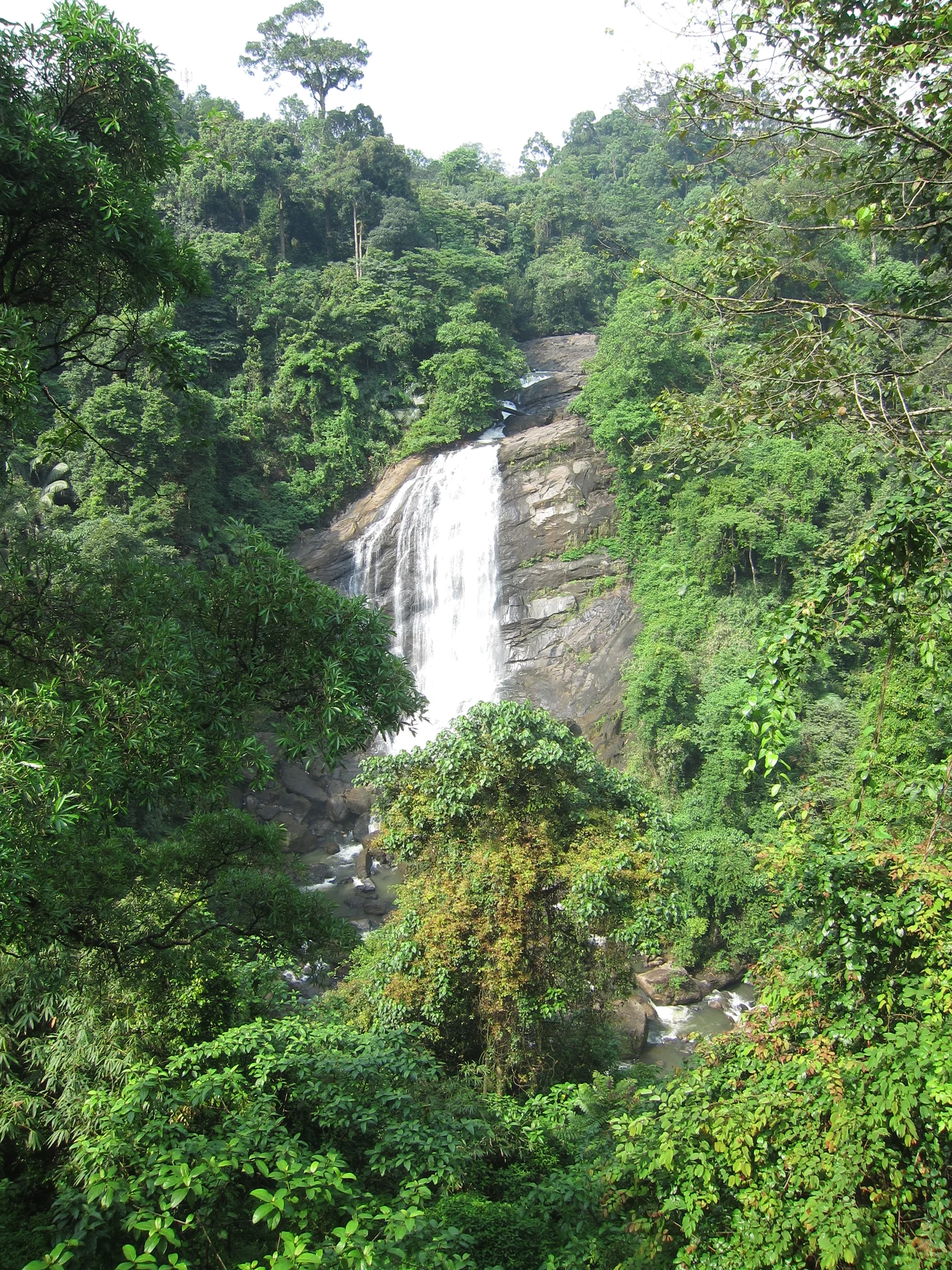
Valara is the forest-framed Deviyar cascade beside NH85 between Neriamangalam and Adimali in Idukki. It is a separate roadside stop from Cheeyappara, with viewing from the road and no assumed access to the waterfall base.

hill stationPeermade

Peermade, also written Peerumedu or Peermede, is a plantation settlement and highland landscape on the Kottayam–Kumily road in Idukki. The map uses the town centre as a visitor base, not a single hilltop attraction.

viewpointPanchalimedu

Meadow and hill-viewpoint landscape near the Peermade/Kuttikkanam side of Idukki.

hill stationKuttikkanam

Peermade-side hill-station and adventure-tourism area, useful for tea estates, pine roads and central high-range routing.

damKulamavu Dam

Kulamavu is KSEB’s gravity dam on Kilivallithodu and one of three dams forming the Idukki reservoir. Visit through the hydel-tourism arrangements; reservoir views do not authorise entry to restricted infrastructure.

waterfallThommankuthu Waterfalls

Seven-step cascade and eco-tourism trekking spot on the Kaliyar river near Thodupuzha, with rock pools, forest paths and a Forest Department eco-tourism trail.

damMalankara Dam

An Irrigation Department dam and reservoir at Muttom near Thodupuzha, storing Thodupuzha River runoff and Idukki power-station tailwater for the Muvattupuzha Valley Irrigation Project; the visitor park has its own permitted areas.

wildlifeIdukki Wildlife Sanctuary

Protected forest around the Idukki and Cheruthoni reservoirs near Painavu, with hilly evergreen woodland, elephants and boat-and-trek access arranged through the Forest Department.

damPonmudi Dam

KSEB’s Panniyar-project dam at Konnathadi near Rajakkadu and Vellathooval in Idukki; a reservoir-and-engineering visit, distinct from Ponmudi hill station in Thiruvananthapuram.

townPainavu

The hill headquarters town of Idukki district near the arch dam, a quiet high-range base for Idukki–Cheruthoni dam-side sightseeing and the surrounding reservoir viewpoints.

viewpointParunthumpara

A rock-and-grass viewpoint near Peermade on the Pambanar side of Idukki, overlooking steep wooded ravines; known as Eagle Rock and for the profile-like Tagore Rock formation.

viewpointNadukani Viewpoint

Ghat viewpoint on the Thodupuzha–Puliyanmala road overlooking the Idukki high range, a popular stop for valley views and cool breezes.

Roampedia is commission-free — own or know a stay, eatery, guide or shop near Anchuruli? Submit public business details for review.

Add a nearby business
Before you go

Anchuruli — at a glance

Photography: A wider exterior frame can show the tunnel’s rock setting or the cascade entering the reservoir. Stay behind restrictions and do not copy an archival camera position inside the water passage.

Parking: Use the space accepted for visitor vehicles at the roadhead and leave room for turning. A marked parking capacity or permanent parking tariff is not verified; do not turn the access road or lower bank into an improvised parking area.

Getting here

How to reach Anchuruli

  • ✈︎ By air Cochin International Airport is the air gateway listed by Kerala Tourism. Continue by road to the Kattappana side of Idukki and then to the Anchuruli approach.
  • 🚆︎ By train Kerala Tourism identifies Ettumanoor as a railway approach. Kottayam may offer a different choice of stopping trains, followed by a separate road journey into the high ranges and towards Kattappana.
  • 🚗︎ By road Reach the Kanchiyar–Kattappana area and take the local approach towards Anchuruli. Mapped roads include the Pallikkavala–Anchuruli and Kakkattukada-side connections; give the driver the visitor roadhead rather than a reservoir island.
  • 🚌︎ By bus Kattappana is the town transport base for the final local journey. Establish the actual Anchuruli-side stopping point and return arrangement before boarding a local service; do not assume a bus terminates beside the tunnel.
Getting back

Keep the vehicle pickup at the same visitor roadhead. An outlet-side stop should not end with an assumed walk through the tunnel to Erattayar or across an exposed reservoir bank.

Do

Things to do

  • Read the circular outlet against the rough rock face from the permitted viewing area.
  • Watch the short cascade and distinguish moving discharge from the reservoir’s wider surface.
  • Look across the curved inlets and exposed shoreline bands when water levels reveal them.
  • Compare the viewpoint with a separately planned Idukki hydel stop to understand how different structures serve different purposes.
Facilities

On site

  • Plan meals and a substantial refreshment stop in Kattappana or the town itinerary. The tunnel outlet is not a reliable base for a restaurant meal.
  • A staffed visitor toilet, changing room or bathing facility is not established by the official destination accounts. Do not plan swimming or use the reservoir edge as a changing area.
Getting around Anchuruli
From the entrance
Anchuruli visitor roadhead, Kanchiyar–Kattappana side of Idukki reservoir
Step-free access
The exterior landscape includes uneven paths, sloping rock and a lower reservoir approach. A continuous step-free visitor route is not verified. Someone avoiding a descent should assess the upper permitted view and retain an easy route back to the vehicle.

Checked 7 September 2026 against source 1source 2. Conditions change and surfaces vary with weather — if step-free access is essential, confirm with the site before you travel.

Practical things near Anchuruli

These services are listed within about 1.2 km of Anchuruli. Walking distances follow mapped routes; access and opening hours can change. Other services may be closer but are not included here.

Eat nearby

What to eat in Idukki and Cheruthoni

Use Kattappana or a settled town stop for food before the local approach. Anchuruli is a reservoir-side visit, so a meal plan should remain attached to the road itinerary.

Explore food in Idukki and Cheruthoni →
01

Kattappana lunch

A town restaurant fits before or after the reservoir-side stop and keeps the meal separate from the lower viewpoint.

02

Tea on the town route

Take the break where a vehicle can stop properly, leaving the narrow final approach clear.

03

Dinner at the stay

If staying outside Kattappana, arrange the evening meal with the property before returning from the reservoir circuit.

Nearby

What’s near Anchuruli

viewpointKalvari Mount

Reservoir-view hill point near Idukki and Cheruthoni, useful for scenic drives, photos and central high-range itineraries.

A
Ayyappancoil Hanging Bridge
Place
heritageAyyappancoil Hanging Bridge

The long pedestrian suspension bridge above the Idukki reservoir at Ayyappancoil, valued for water and hill views as well as the crossing itself.

wildlifeIdukki Wildlife Sanctuary

Protected forest around the Idukki and Cheruthoni reservoirs near Painavu, with hilly evergreen woodland, elephants and boat-and-trek access arranged through the Forest Department.

trekVagavanam Windy Walk trek

The Forest Department’s guided walk on the grass tops at the southern end of the Idukki Wildlife Sanctuary, about ten kilometres by road from Vagamon — some seven kilometres on foot up jeep track and open ridge, with the Idukki reservoir catchment below you. The state will not sell it to fewer than six people, and it will not take more than seven.

damIdukki Arch Dam

Major hydroelectric dam and one of Kerala’s landmark engineering sites.

damCheruthoni Dam

The 138-metre concrete gravity dam a kilometre west of the Idukki arch dam, carrying the five radial gates that are the only spillway for the whole Idukki reservoir — the gates opened in a south-west monsoon for the first time on 9 August 2018.

viewpointHill View Park

The DTPC’s eight-acre garden and viewing park on the Vellappara shoulder above the Idukki reservoir, about 350 ft above the water. It is the dependable way to see the Idukki arch dam — strung between Kuravanmala and Kurathimala, roughly 1.6 km east-north-east — because the dam crest itself is shut most of the year and this is open every day from 08:00 to 19:00.

townPainavu

The hill headquarters town of Idukki district near the arch dam, a quiet high-range base for Idukki–Cheruthoni dam-side sightseeing and the surrounding reservoir viewpoints.

viewpointChellarkovil Viewpoint

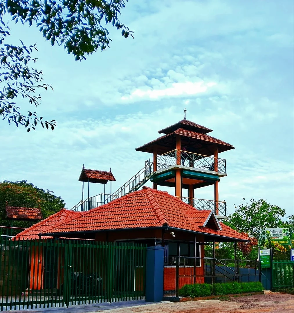
The Kerala Forest Department ecotourism centre at Chellarkovil, with a watchtower, botanical and butterfly gardens and views towards the Tamil Nadu plains. Private resort viewpoints and waterfall approaches are separate visits.

viewpointPandikuzhi

Thekkady-side valley and stream landscape on the Kerala-Tamil Nadu edge.

viewpointRamakkalmedu

Windy Idukki ridge and viewpoint area above the Tamil Nadu plains, often planned with wind farms and Nedumkandam-side routes.

viewpointAamai Para

Tortoise-shaped rock outcrop above Thovalappady on the Kerala–Tamil Nadu border ridge, reached by jeep track from the Thookkupalam–Ramakkalmedu road, with a two-mouthed passage under the rock and DTPC’s Jaalakam eco-tourism centre on top.

12 detailed place guides in Idukki and Cheruthoni →

Road and walking figures are route estimates, with travel times dependent on access, traffic and conditions. Figures marked “straight line” show direct separation and do not describe a road or walking route. Fare estimates use Kerala’s 26 April 2022 auto/taxi notification and exclude waiting, night and applicable one-way surcharges. Confirm the current meter or operator quote before travelling. Routing: © openrouteservice.org by HeiGIT | Map data © OpenStreetMap contributors

Nearby toilets, pharmacies, ATMs, seating and vets are community-mapped and may be incomplete or out of date. Map data © OpenStreetMap contributors | Walking times © openrouteservice.org by HeiGIT

On the map

Where Anchuruli is

Good to know

Anchuruli — frequently asked

Is Anchuruli a waterfall, tunnel or dam?

The destination combines the reservoir-side outlet of the Erattayar–Idukki tunnel, a short cascade and views of Idukki reservoir. It is not the Idukki arch dam, and the tunnel is an engineered water passage rather than a natural cave.

Which way does water flow through Anchuruli tunnel?

The diversion brings water from Erattayar towards Idukki reservoir. Anchuruli is the reservoir-side outlet.

Can visitors walk inside Anchuruli tunnel?

Do not plan an interior walk. It is an operating water-transfer structure, and old photographs of people inside do not establish current permission or safe conditions. Keep to the permitted exterior viewing area.

Why is Anchuruli also called Anjuruli?

The spellings refer to the same destination. Kerala Tourism records a local explanation involving five hill forms compared to inverted cooking vessels when reservoir water recedes.

Is Anchuruli close to Cheruthoni town?

Its practical approach is through the Kattappana–Kanchiyar side of Idukki. Cheruthoni is a separate part of the reservoir circuit; use Anchuruli’s own roadhead when arranging a pickup.

Will the cascade have heavy water throughout the year?

No fixed flow is promised. The visible cascade changes with discharge and reservoir conditions. Lower-flow and fuller-flow photographs show different states of the same outlet landscape.

Can I trek into the forest from Anchuruli?

Kerala Tourism states that exploration deeper into the forest requires prior Forest Department permission. The ordinary viewpoint visit does not include an unbooked forest route.

Is Anchuruli suitable for someone who cannot manage uneven steps?

The lower approach includes uneven sloping ground and rock; a continuous accessible route is not established. Assess the permitted upper view from the roadhead and avoid a descent that would make the return difficult.

When is the best time to visit Anchuruli?

Choose daylight and a period without heavy rain or a local access warning. Lower reservoir levels reveal more of the curved banks, while wetter periods can bring stronger discharge and reduced access. The view depends on both weather and reservoir operation, so a month alone cannot guarantee a particular water level.

How do I reach Anchuruli?

Approach the Anchuruli visitor side through the Kattappana–Kanchiyar area and use the named roadhead rather than a reservoir island marker. Anchuruli Thuruthu Island is a different point in the water. Begin with the permitted exterior viewpoint. Follow any barriers or staff directions before approaching the lower ground, and keep the return climb in mind if the path is wet. Treat a forest walk beyond the ordinary viewing area as a separate activity requiring the Forest Department’s permission. The tourism description does not provide a standing permit to explore the catchment or enter the tunnel.

How much time do I need for Anchuruli?

Allow roughly one hour as a planning estimate for the permitted viewpoints and the walk back to the roadhead. Leave a separate allowance for the approach from Kattappana; this estimate does not include an interior tunnel walk or a forest trek.

What else is near Anchuruli?

Nearby you can pair Kalvari Mount, Ayyappancoil Hanging Bridge, Idukki Wildlife Sanctuary, Vagavanam Windy Walk trek.

What should I know before visiting Anchuruli?

Do not enter the water tunnel or stand in its discharge channel. Flow can be affected by conditions and operations beyond the visible outlet. Keep away from the cascade lip, wet sloping rock and soft exposed reservoir banks. A narrow dry strip in an old photograph is not a maintained path. Use the wider reservoir view if access to the lower approach is restricted. Swimming and crossing to exposed land are not part of this visit.

Read before you go

Anchuruli guides, stories & itineraries

Stories & history of Anchuruli

Written about Anchuruli itself — its history, its legends and the arguments about them.

Around Idukki and Cheruthoni

These reads cover nearby destinations, each with its own arrival point and visit arrangements.

Kerala-wide guides & itineraries

Route-level itineraries and practical guides for the rest of Kerala.

See all 153 Idukki guides & stories →

Image credits

Photographs: Vis M (CC BY-SA 4.0), Swarnavilasam (CC BY-SA 4.0), ബിപിൻ (CC BY-SA 4.0), Department of Tourism, Government of Kerala (© Kerala Tourism), Alanjs (CC BY-SA 4.0), KSEB (CC BY-SA 2.5), Timothy A. Gonsalves (CC BY-SA 4.0), Wikistranger (Public domain), കാക്കര (CC BY-SA 3.0), Visakh wiki (CC BY-SA 3.0), Ezhuttukari (CC BY-SA 3.0), Vi1618 (Public domain), jiju M Iype (CC BY 3.0), Kiran Gopi (CC BY-SA 3.0), Kerala Irrigation Department (© Kerala Irrigation Department; official source photograph), Ingo Mehling (CC BY-SA 4.0), PranavMurali (CC BY-SA 4.0), Praveenp (CC BY-SA 4.0), Jaseem Hamza (CC BY 3.0), Kerala Forest and Wildlife Department (© Kerala Forest and Wildlife Department), Kerala Tourism (© Kerala Tourism; official destination photograph), Arshad.ka5 (CC BY-SA 4.0), Emmanuel P.Loui (CC BY-SA 4.0), Jayeshj at Malayalam Wikipedia / CC BY-SA 3.0 / Wikimedia Commons, Vis M / CC BY-SA 4.0 / Wikimedia Commons, Sibyperiyar / CC BY-SA 3.0 / Wikimedia Commons, Shinto Veleeparambil / CC BY-SA 4.0 / Wikimedia Commons, SYROSH MATHEW / CC BY-SA 4.0 / Wikimedia Commons, Timothy A. Gonsalves / CC BY-SA 4.0 / Wikimedia Commons, Praveenp / CC BY-SA 4.0 / Wikimedia Commons, Ashwin Kumar from Bangalore, India / CC BY-SA 2.0 / Wikimedia Commons, Ingo Mehling / CC BY-SA 4.0 / Wikimedia Commons, Rainer Halama / CC BY-SA 4.0 / Wikimedia Commons, My Guest Restaurant (Official website image), Igloo Heritage Resorts (Official website image), Kerala Hydel Tourism Centre (Official hydel tourism image). Wikimedia Commons.