A nearby town is not the waterfall entrance
Arippara is commonly described through Thiruvambady, Anakkampoyil and the wider Kodanchery area. Those names help locate the journey within Kozhikode district, but they do not all identify the same point. The practical destination is the visitor approach beside the waterfall, not the centre of a nearby settlement.
Near Arippara, the river separates banks and their approach roads. A driver needs the name of the visitor approach as well as the wider locality. Agree which side of the river you will reach before arranging a drop-off or return pickup; a familiar town name alone leaves the final stage unresolved.
The bridge gives the arrival a concrete reference
The hanging bridge beside Arippara provides a useful arrival reference, with an approach on its eastern side. Head for that visitor approach, then follow the current entrance directions. The bridge is a landmark for finding the area; its presence does not mean that every route beyond it is open.
The road and bridge geometry are useful because they describe an actual connection. A river-centre coordinate may locate the natural feature accurately while being a poor destination for a vehicle or walking visitor. The approach point answers a different question: where does the visitor begin the final stage?
DTPC’s transport information names Anakkampoyil bus station for the wider arrival. The final connection still needs to reach the specified approach. Keep that distinction in a driver’s instructions, particularly when using a local name that covers more than one river-side lane.
Arippara and Thusharagiri are separate stops
The two waterfall destinations often appear within the same Kozhikode high-range itinerary. Their proximity does not make them one waterfall under different spellings. Arippara has its own rock-and-river landscape, visitor arrangement and arrival point; Thusharagiri has a separately managed waterfall and walking programme.
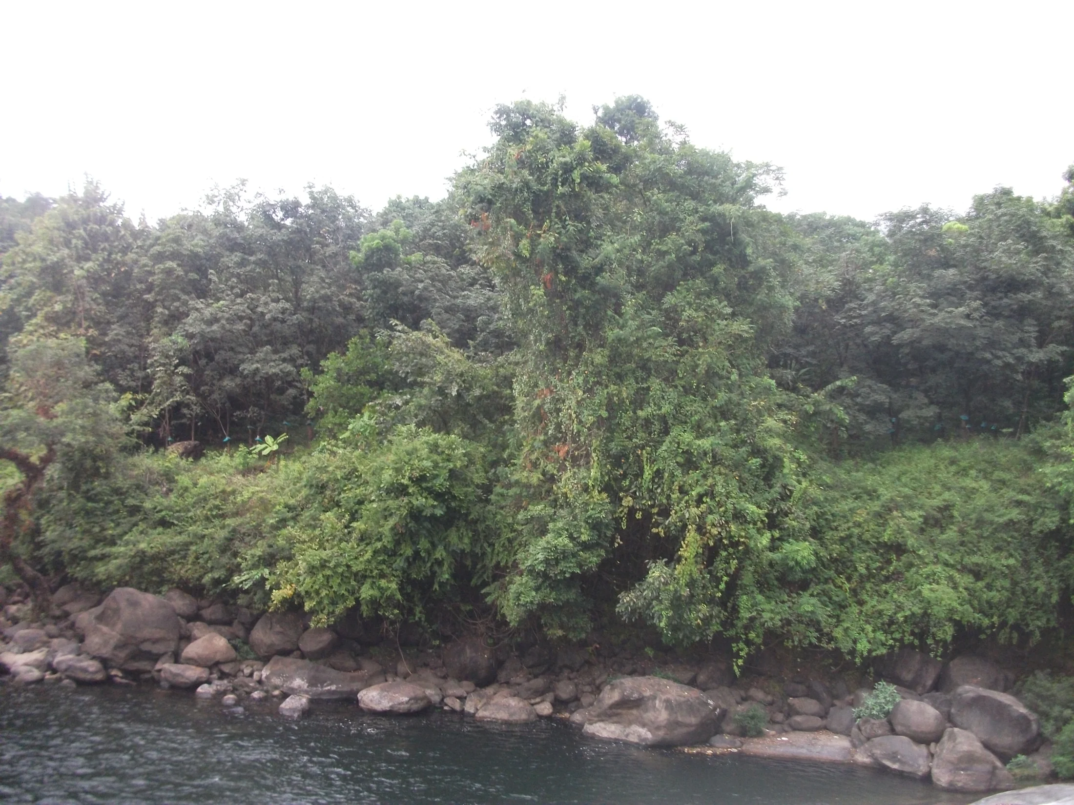
At Arippara, the broad rock floor and vine-covered banks enclose a moving river. Thusharagiri has its own series of named falls and walking routes. Give each stop time for its particular landscape, and use the entrance directions for that destination when leaving the main road.
If visiting both, plan two arrivals and enough time for each site’s actual access process. Do not assume that a forest path connects the attractions or that one admission covers the other.
Use names at the right scale
Thiruvambady is useful in the town and transport plan; Anakkampoyil helps organise the nearer road connection; the bridge approach identifies the final visitor stage. Kozhikode district keeps the destination distinct from waterfall pages filed under neighbouring Wayanad.
Keeping those scales separate makes the journey simpler without requiring a visitor to settle every spelling or boundary question. Ask for the named Arippara approach, follow the current site directions and use the same reference for the return. The map then serves the visit instead of merely placing a dot somewhere in the wider landscape.
Sources: DTPC Kozhikode: Arippara, Kerala Tourism and OSM bridge element.
Plan the visit: Arippara Waterfalls.