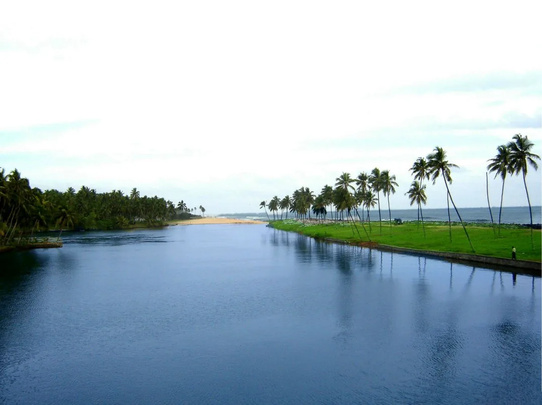
Stand on the bridge at Kappil Beach and there is a small naming puzzle. The water below appears as “Kappil Lake” in Kerala Tourism’s Varkala guide, while another official article calls the broader waterbody Edava–Nadayara Lake. The old version of this story declared that Kappil Lake did not exist. The official sources say otherwise.
A name follows the viewpoint
Kappil is where many visitors encounter the water: a road and bridge reveal the backwater beside the sea. Naming the visible reach after that arrival point is useful for directions. Edava and Nadayara describe a wider local geography. Kerala Tourism uses both names, so treating one as an invented label erases the ordinary way place names work along a connected shore.
The physical relationship matters more than winning a naming contest. A narrow coastal strip puts the lake and the Arabian Sea in the same view. From the bridge you can look along the inland water and then turn toward the beach. The shore may change with tides and weather; a photograph cannot guarantee an open sand bar or a safe place to cross.
What to look for
Kerala Tourism describes a boat club at Kappil and identifies Edava–Nadayara Lake in its account of nearby Hariharapuram, where fishing, paddy and coir work connect settlements to the backwater. A short visitor boat ride reveals only one reach of that working landscape. The lake is a place with neighbouring communities, not a decorative pool behind a beach.
For a map search, add “Varkala” or “Thiruvananthapuram” to Kappil; another Kappil Beach lies near Bekal. For the water, either Kappil Lake or Edava–Nadayara Lake can lead you to the right area. The useful question is which reach, bridge or boat point a source means.
A narrow strip, two different waters
From the coastal road, Kappil can look like a simple beach beside a lake. The strip of land between them makes the view, but the backwater has a wider geography than a single “Kappil Lake” pin suggests. Calling it Edava–Nadayara Kayal helps place it in the waterway system linked to the Varkala tunnels.
A name matters here because it changes what people expect. A visitor might imagine an isolated pond used only for photos. The canal history instead reveals a route once built to move people and goods along the coast. The view can be tranquil and historically connected at the same time.
Stand where the sea and backwater are both visible, then follow the landward water with your eye rather than stopping at the beach edge. The map becomes clearer, and Kappil gains a story beyond being “quiet.”
- Kerala Tourism calls it Kappil Lake
- Kerala Tourism also calls the wider water Edava Nadayara Lake
- Check current boat operations and shore access on arrival; neither name establishes today’s conditions.