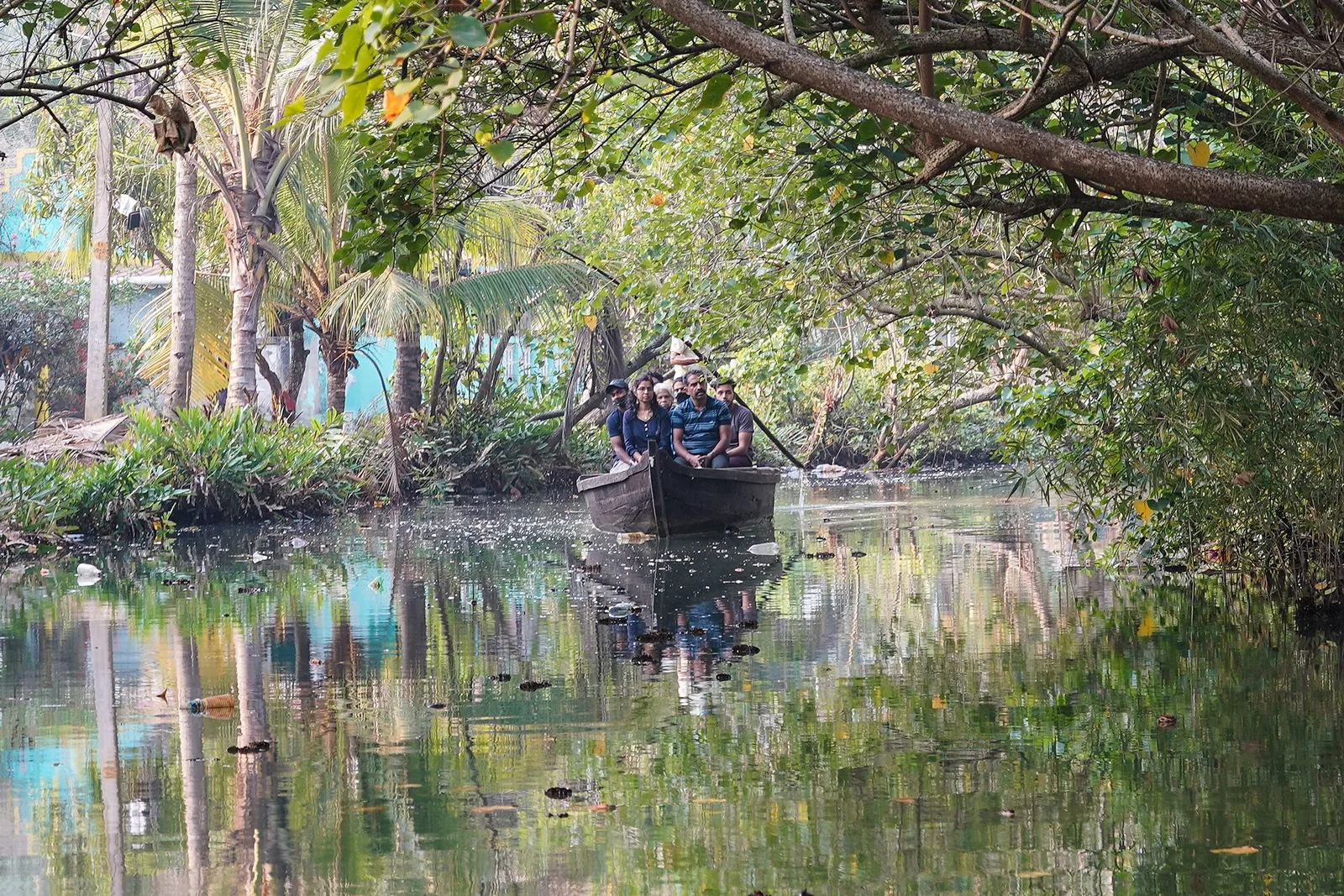
Everyone who takes the canoe trip is told the same thing: this is a natural delta, the river splitting into a hundred channels among the islets. It is a good line and it is largely wrong.
The main channel through the canals is an artificial cut, and the island has never made a secret of it.
Puthanar
The name of the trunk channel is Puthanar. In Malayalam that means, plainly, new river.
The 2023 study of this island published in Scientific Reports by researchers at the National Centre for Earth Science Studies records what it was and why. To decrease the impact of the monsoon floods and to distribute the alluvium to the southern part of the island, an artificial man-made canal was made during the 1820s, connecting the Kallada river with the eastern extension of Ashtamudi lake. That canal is Puthanar. The paper gives its width: fifty metres.
Fifty metres is not a canoe channel. It is a shipping-lane-sized cut through a low island, made by hand, two hundred years ago, and it is the reason the rest of the network is shaped the way it is.
The islands are partly a by-product
The same paper makes a second observation that is easy to skate past and is the more startling of the two: several islands and islets formed due to the drainage networks of natural and artificial streams connecting the different waterbodies.
Read that carefully. Some of the islets you paddle between exist because the channels were cut. The digging did not merely improve a delta; in places it made the land pattern. Munroe Island is a hybrid of river sediment and nineteenth-century earthmoving, and it is not always possible to say which is which from a boat.
Who, and when — with the caveat
The work is credited to Colonel John Munro, whose name is on the island. The paper spells him Canol Munroe and calls him the then Diwan of the Thiruvithamkoor Dynasty, which is right in substance: Munro was British Resident of Travancore from 1810 and Diwan from about 1811 to 1814.
There is a wrinkle worth stating rather than smoothing over. Munro left Travancore in 1819. A cut made during the 1820s is therefore after his own tenure, and probably after he had gone home. The honest formulation is that Puthanar was made in the 1820s on Munro’s design, or by his successors continuing his reclamation programme — not that he stood over the digging. Where a source and a chronology disagree, we would rather show you both than pick.
It was farm engineering, not landscape
The purpose is the part that most changes what you are looking at. Puthanar was cut to reduce monsoon flooding and to distribute alluvium — that is, to move the river’s silt onto the farmland in the south of the island. It was an irrigation and land-improvement project. It was not built for transport, and it was emphatically not built to be beautiful.
The island’s own paperwork records the intention. In the Revenue Department’s cadastral map the southern accretion is classed as Puthan Yekkalpuram — new alluvium land — against Pazhaya Yekkalpuram, old alluvium land, on the north bank. The land registry is a map of where silt used to arrive.
Used to. That is the sting. The channel was cut to deliver sediment, and the sediment stopped coming when the Kallada was dammed upstream at Thenmala. A two-hundred-year-old silt-distribution system still runs through the island with nothing left to distribute.
Which also settles the boat argument
Our own page used to say the canals are navigable only by small country canoe. That is true of the inner village channels and false of the network. Puthanar is fifty metres wide and the paper notes that two ferry services and many small boat services serve the transportation needs of the inhabitants.
So the accurate advice is narrower and more useful: take a canoe if you want the inner channels, because nothing bigger fits and that is what you came for. But do not imagine the whole system is a secret capillary network. The spine of it is a wide public waterway with ferries on it, which is exactly what a nineteenth-century public works department would have built.
And it is still being dug
One last line from the same paper, buried in its management recommendations, which is the detail that finishes the story. It suggests that the sediments deposited in the Thenmala reservoir and the sediments removed through the digging of boat channels may be re-used.
The digging of boat channels. The waterway is maintained by excavation now, as it was created by excavation then. What looks like the most natural thing in Kollam district is infrastructure at both ends of its life — cut in the 1820s to carry silt, dredged in the 2020s to carry visitors.
Frequently asked questions
Are the Munroe Island canals natural?
Not the main one. The trunk channel Puthanar — Malayalam for "new river" — is a 50 m-wide artificial cut made in the 1820s to reduce monsoon flooding and spread river silt onto the southern farmland. The 2023 NCESS study in Scientific Reports also records that several islets formed because of the drainage network of natural and artificial streams.
Did Colonel John Munro dig them?
They are credited to him, with a caveat we would rather state than hide. Munro was Resident of Travancore from 1810 and Diwan from about 1811 to 1814, and left in 1819 — so an 1820s cut postdates his tenure. Say it was made on his design or by his successors, not that he supervised it.
Why were they built?
Flood control and silt distribution — agricultural engineering, not transport and not scenery. The island’s cadastral map still classes the southern accretion as Puthan Yekkalpuram, "new alluvium land". The silt stopped arriving once the Kallada was dammed at Thenmala.
Is the whole network canoe-only?
No. The inner village channels are, which is why a country canoe is the boat to take. But Puthanar is 50 m wide and carries ferries — the study notes two ferry services and many small boat services serving the inhabitants.