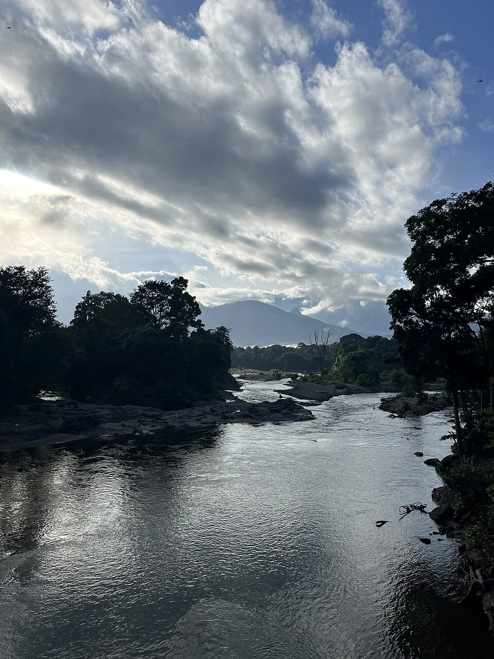
The Karimpuzha fills the foreground, then narrows between exposed rock and wooded banks beneath distant hills. Cloud occupies much of the sky. The photograph is taken at Nedumkayam’s bridge area, where a short visitor stop can reveal the river as a connected landscape rather than an isolated pool.
Use the local river name
Karimpuzha is the name used for the bridge’s river in Forest Department destination inventories and the Karulai Village Office account. Some broader tourism summaries use Chaliyar, the wider river-system reference. For the particular crossing at Nedumkayam, the local name keeps the scene precise.
Ask about the Karimpuzha when speaking with staff at the visitor area. That identifies the actual water beside the bridge rather than leaving the enquiry at the scale of a much larger drainage system. A useful geographical explanation starts with the feature directly in view.
From an allowed position, follow the visible course with the eye. Notice where rock divides the surface and where tree cover hides a bank. The direction seen in a photograph is only a portion of the river; it does not reveal the whole route upstream or downstream.
Contrast makes the scene legible
Open water reflects the sky, while shade beneath trees can make another stretch appear almost dark. A bright patch is not necessarily shallow, and a smooth-looking reach is not necessarily still. Light explains part of the appearance, but not all the water’s behaviour.
Exposed rock adds scale and interrupts the flow. It can also look inviting as a place from which to take a picture. Keep to the permitted visitor position instead: the photograph does not establish the grip of a wet surface or the consequences of slipping beside moving water.
Retain some of the banks in the frame. Trees and rock show how the river occupies the forest landscape. A tightly cropped water surface may lose the very relationships that distinguish Nedumkayam from another riverside stop.
A river view does not require entering it
Ordinary sightseeing admission is not a swimming permit. Follow the current restrictions and do not use older bathing descriptions as an excuse to approach an undesignated pool. Staff may limit the riverside circuit according to conditions that are not obvious from the bridge.
The view can remain substantial from dry ground. Watch the changing reflections, the outline of the far hills and the relation between water and forest. Those observations need neither a dip nor a scramble over exposed slabs to become part of the visit.
The official forest destination inventory places the Karimpuzha alongside Nedumkayam’s bridge and heritage features. Let that local identity guide the visit, and let the current Forest Department instructions determine where the group stands.
Plan the visit: Nedumkayam rainforest trek.