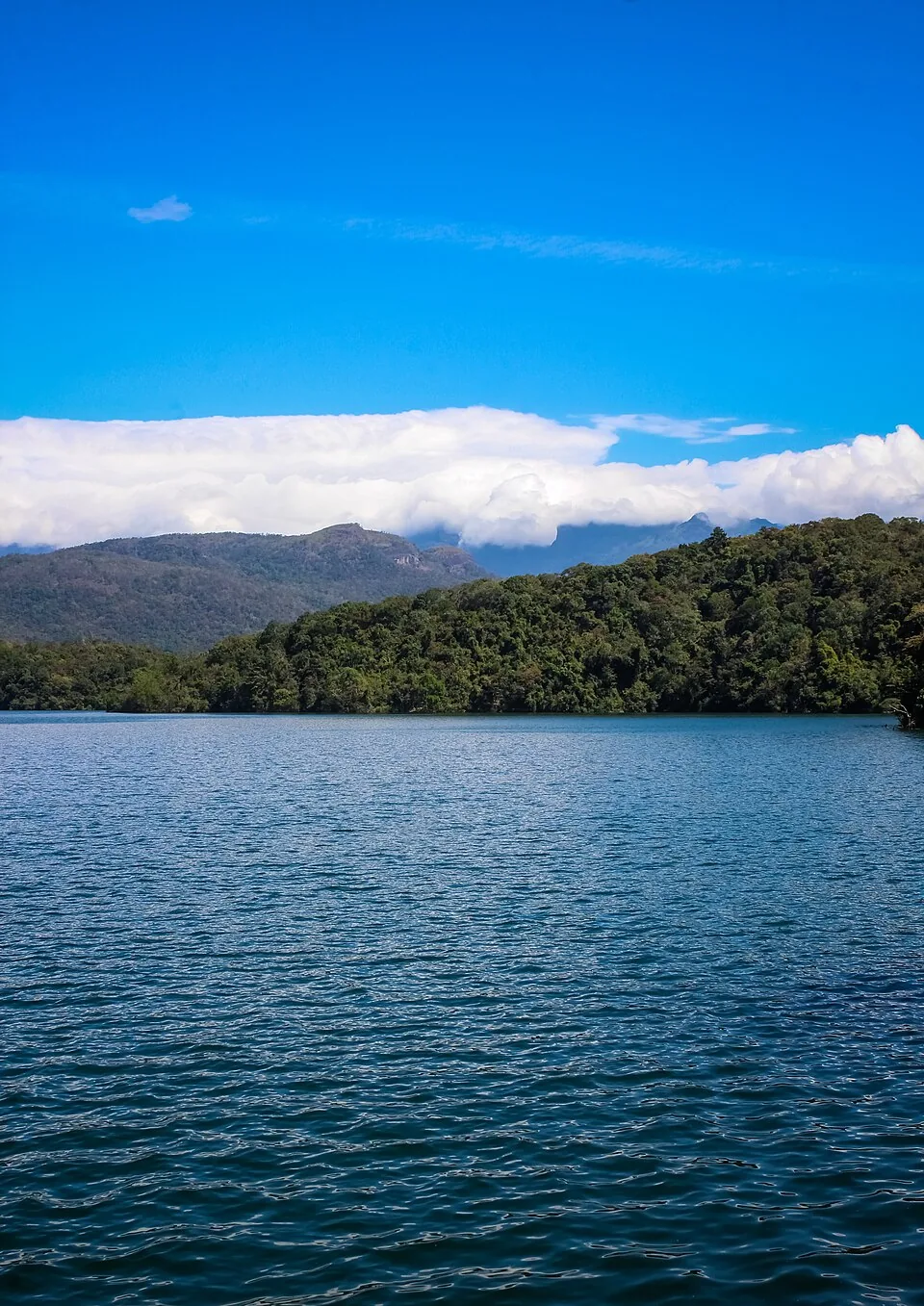
At Neyyar Dam, the reservoir is the obvious object. Follow its water uphill on a map and the subject changes. Streams gather within a protected forest before reaching the wall. Neyyar Wildlife Sanctuary was formed in 1958 around part of that basin, while the irrigation project built a system to hold and distribute its water.
Protection upstream of the view
Kerala Forest Department records give the sanctuary’s formation year as 1958 and describe an area of about 128 square kilometres. A visitor near the reservoir sees only an accessible edge of that protected space. The boundary matters because it covers land feeding the river, not just a scenic ring around a lake for boats and photographs.
Kerala Tourism names the Neyyar, Mullayar and Kallar in its description of the drainage basin. These tributaries make the water’s origin more specific than a broad phrase such as “forest hills.” Rain reaching different valleys becomes one reservoir and, below the dam, a managed supply for people and farms.
The dam has another calendar
Kerala’s Irrigation Department dates the Neyyar project from construction beginning in 1951 to completion in 1973. The sanctuary’s 1958 date falls within that period, but it is not the dam’s completion year. The project account describes canals, a reservoir and irrigation aims; the forest notification concerns protected land. Mixing the dates would erase the distinct decisions that shaped the same river.
UNESCO later placed Neyyar within the wider Agasthyamala Biosphere Reserve along with Peppara, Shendurney and protected forest across the state boundary. That designation gives a regional ecological frame; it does not replace the legal notification for a particular sanctuary or open every forest route to visitors.
Read the landscape in two directions
From the dam, look upstream toward the forested source, then downstream toward the project’s distribution system. The Neyyar Dam irrigation story follows the engineered side. The visitor story explains what a public outing can reasonably show.
The reservoir and the sanctuary are related by one river, not identical as attractions. That is the useful surprise in the view: the water’s protected catchment lies well beyond the edge a visitor can photograph.