Most rivers shape the places along them slowly. The Periyar did it in one go. In 1341 a catastrophic flood on this river is generally held to have dumped enough silt at the coast to choke the mouth of Muziris — the ancient pepper port that traded with Rome — and to open the estuary that became Kochi harbour. The island of Vypin is said to have risen out of that same event; its local calendar, the Puthuvype or “new deposit” era, starts in 1341. One river, one season, and the commercial centre of the Malabar coast moved permanently south.
It is worth saying plainly that no direct account of that flood survives. The single-event version is inferred from the calendar, from excavation at Pattanam and from the geology, and some of the change was certainly gradual. But the outcome is not in doubt: the port that made this coast famous silted up, and a new harbour opened where Kochi now stands.
Source to sea
At about 244 kilometres, the Periyar is the longest river in Kerala. It rises in the Sivagiri hills of the Western Ghats, in the forests of what is now the Periyar Tiger Reserve on the south-eastern edge of Idukki district, and runs north-west out of the high range.
Below the Mullaperiyar dam it continues north-west through Vandiperiyar, Elappara and Ayyappankovil into the Idukki reservoir, held by the Idukki, Cheruthoni and Kulamavu dams. Further down it passes the barrage at Bhoothathankettu, which supplies drinking and industrial water, and then the rock field at Paniyeli Poru. At Aluva it splits into two branches, the Marthandavarma and the Mangalapuzha, and reaches the sea through the backwaters.
The Periyar in numbers
| Length | About 244 km — the longest river in Kerala |
| Source | Sivagiri hills, Western Ghats, in the Periyar Tiger Reserve |
| Major dams | Mullaperiyar; Idukki, Cheruthoni and Kulamavu; barrage at Bhoothathankettu |
| Splits at | Aluva — into the Marthandavarma and Mangalapuzha branches |
| Industrial belt | Eloor, with 240-plus chemical industries |
The river as infrastructure
The Periyar is not a decorative river. The Idukki system on it generates a substantial share of Kerala’s electricity, and its stored water supplies drinking and industrial demand across central Kerala. That is the reason so much of it is regulated, and the reason its level downstream is partly an operational decision rather than a weather event — a point that matters enormously if you plan to stand in it.
It has also been used as a weapon exactly once, to great effect. In 1790, with Tipu Sultan’s army advancing into Travancore, a small Travancore party went upstream and breached the dam walls at Bhoothathankettu, sending a flood down the river his forces had to cross. Combined with the monsoon, disease in his camp and a British declaration of war, it turned him back. The mist miracle that the church at Pallippuram remembers from that campaign is devotion; this flood is in the record, and it was engineered.
What lives on it
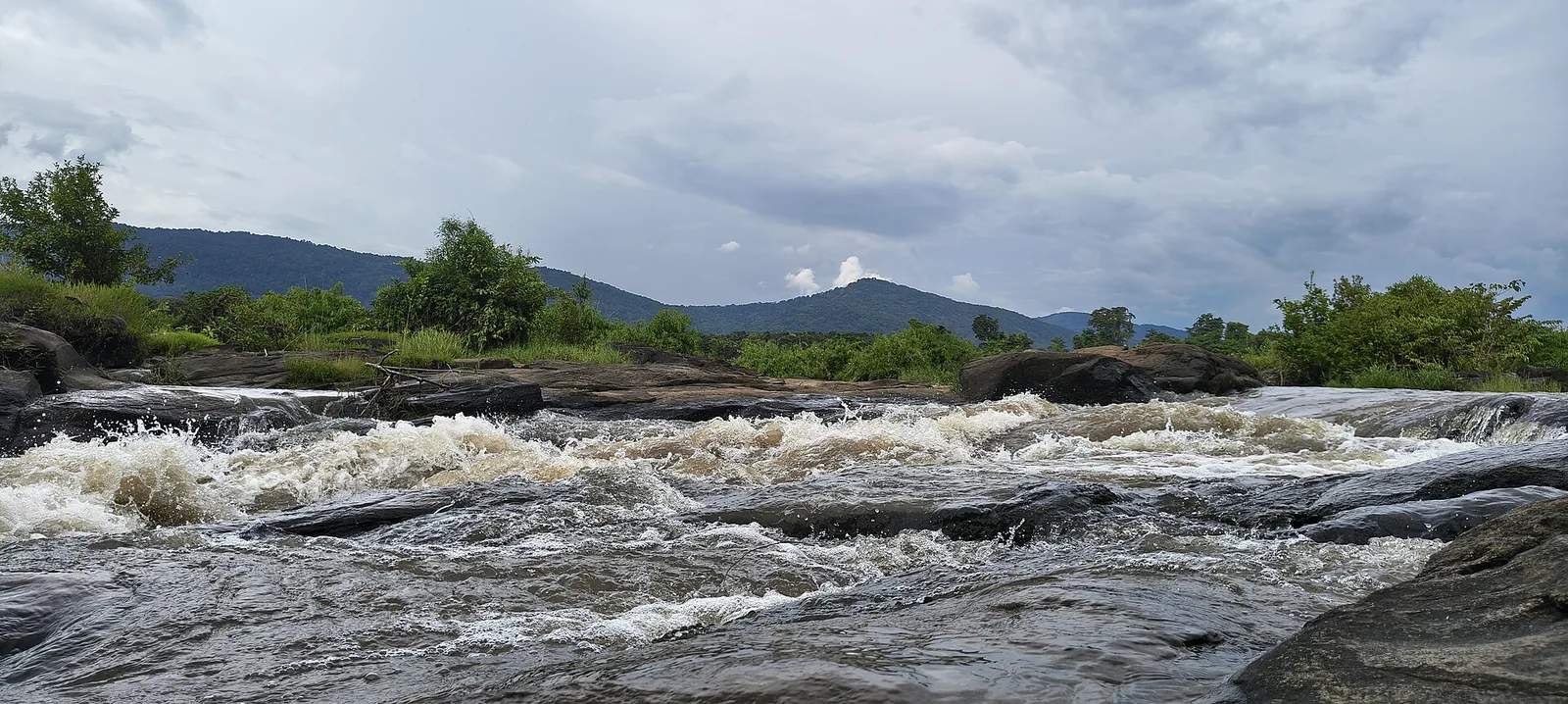
The river’s middle course is the best of it. Thattekkad Bird Sanctuary sits on the Periyar and is among the finest birding sites in South India — Salim Ali called this the richest bird habitat in peninsular India. Downstream, Ezhattumugham and the rock shelf at Paniyeli Poru are where the river is at its most legible, running clear over rock inside evergreen forest.
It is also a religious river. Kalady, on its bank, is the birthplace of Adi Shankara, and the traditions attached to the ghats there — the crocodile that seized his leg, the river changing course at his mother’s request — are attached to this water specifically. They are told as tradition, and we report them as tradition.
And then Eloor
The last stretch is the hardest to write about honestly. Eloor, on the Periyar north of Kochi, carries the largest industrial belt in Kerala — reported at more than 240 chemical industries, with more than 30 effluent pipes discharging into the river. It is consistently identified as the most polluted zone in Ernakulam district.
The measured consequences are the ordinary ones: elevated faecal coliform and chemical contamination in water that communities still use for drinking, bathing and farming, with the associated disease burden, and the near-collapse of traditional fishing and farming livelihoods along that reach. The National Green Tribunal has pulled up the state government over failures to act. Separately, studies have put sand extraction from the Periyar at many times what the river can sustain without structural damage.
None of that is visible from Paniyeli Poru, forty-odd kilometres upstream, where the water runs clear over rock through forest. That gap between the two reaches is the most useful thing to carry away from a day on this river.
Frequently asked questions
How long is the Periyar river?
About 244 kilometres, which makes it the longest river in Kerala. It rises in the Sivagiri hills of the Western Ghats within the Periyar Tiger Reserve and reaches the sea through the Kochi backwaters.
Why is the Periyar important to Kerala?
Three reasons. The Idukki dam system on it generates a large share of the state’s electricity; its stored water supplies drinking and industrial demand across central Kerala; and a flood on it in 1341 is credited with silting the ancient port of Muziris and opening the estuary that became Kochi harbour.
Did the Periyar really create Kochi harbour?
That is the standard account, and the evidence is indirect. No direct record of the 1341 flood survives — the case rests on the Puthuvype calendar that begins that year, on excavation at Pattanam and on the geology. The port of Muziris did silt up and Kochi did become the harbour, but a single-event version is an inference rather than a chronicle.
Where does the Periyar split into two?
At Aluva, where it divides into the Marthandavarma and Mangalapuzha branches before reaching the backwaters and the sea.
Is the Periyar polluted?
Severely, in its lower reach. Eloor hosts Kerala’s largest industrial belt with more than 240 chemical industries and over 30 effluent outfalls into the river, and it is routinely identified as the most polluted zone in Ernakulam district. The upper and middle reaches near Thattekkad and Paniyeli Poru are a completely different river.
Can you swim in the Periyar?
Not at the rocky stretches, and not casually anywhere. It is a regulated river whose level can rise from upstream rain or a dam release with no warning where you are standing, and its rock beds hide fast channels and scoured potholes under flat-looking water. Paniyeli Poru alone accounts for around 89 recorded deaths in roughly two decades.
What is the best place to see the Periyar?
The middle course. Thattekkad Bird Sanctuary for the birdlife, Bhoothathankettu for the barrage and boating, and Paniyeli Poru or Ezhattumugham for the river running clear over rock inside evergreen forest — all within reach of Kochi as a day trip.