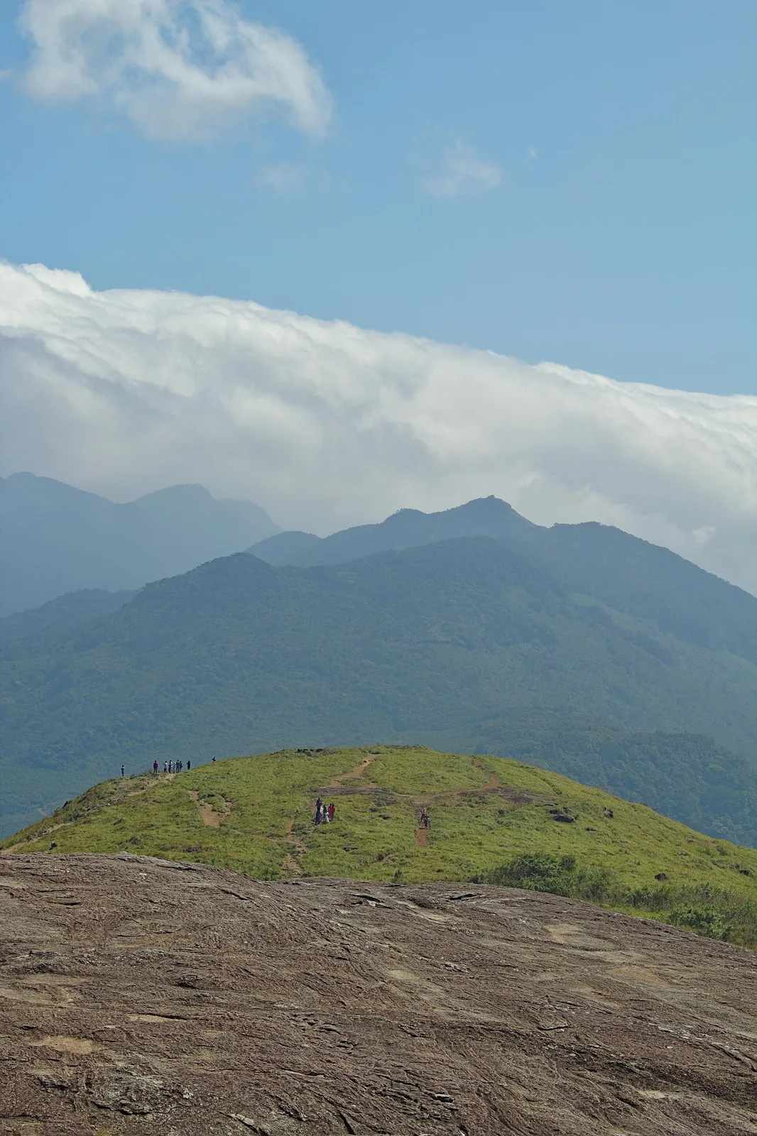
Kerala Tourism writes of Ponmudi mornings wrapped in mist, with the view unfolding as the sun rises. It is an inviting image, but it is not a promise attached to a ticket. At Ponmudi Viewpoint, cloud may move away, gather again or hold the hill inside it. The interesting part of a visit is noticing what each change lets you see.
When the distance disappears
A panorama encourages the eye to jump to the farthest ridge. Mist reverses that habit. The slope nearest the path, the outline of a tree and the bend of the road become the whole visible landscape. You do not need to claim that a particular cloud layer sits at a precise height to describe that change. It is an immediate experience of scale: the hill seems to shrink, then expand as visibility alters.
Kerala Tourism’s description says the valleys can open out later in the day. It does not say that every morning will clear or that first light is always best. Rain, low cloud and changing conditions can produce entirely different visits. A travel article that treats one sunrise photograph as an instruction would send people to the hill with the wrong expectation.
The weather reaches the road too
The viewpoint is part of a hill-road outing, and the mist that softens a photograph can obscure a bend, verge or person crossing. The practical question is therefore bigger than “will I get the view?” It is whether the route and public stopping places are open and comfortable for the journey you are making. The Kerala Forest Department lists Ponmudi as an ecotourism centre; use its current access information and local directions for the day.
Allow daylight for the descent and use only established public places to stop. An unofficial edge beyond a barrier does not become safe when the cloud parts for a moment. If visibility is poor, waiting at a safe open viewpoint is more useful than driving repeatedly between bends to chase a gap. If conditions deteriorate, accept the shorter visit.
Let the hill tell two stories
On a clear day, follow the line of the ranges and the change from valley to hill. On a cloudy one, look at the nearer grass, trees and moving edge of visibility. The second is not a failed version of the first. It shows how quickly a familiar viewpoint can become a smaller, quieter place.
For the route below the hill, read why Kallar is more than a quick river stop. For the older names on the wider landscape, see the estate story. Ponmudi’s view changes by the hour; the responsible way to enjoy it is to follow the conditions in front of you rather than a photograph taken on someone else’s morning.
- Kerala Tourism: Ponmudi hill-station account
- Kerala Forest Department: ecotourism centres
- Current road and viewpoint access must be checked for the day.