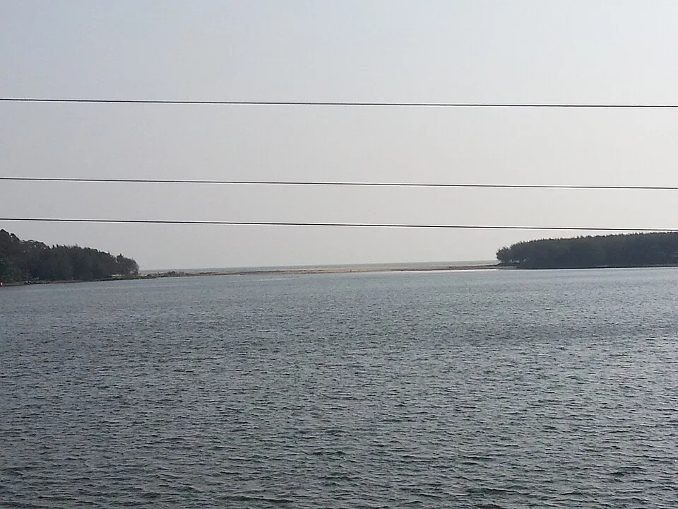
The photograph at the top of this article is not much to look at, and it is the most important image on this page. Look along the channel towards the sea and there is a continuous bank of sand lying across the mouth. The river does not reach the ocean. The pozhi is closed.
How a river mouth works here
On this coast the sea is the stronger partner for most of the year. Longshore drift pushes sand along the shore and seals the estuary shut, and it stays shut through the dry months while the flow behind it is weak.
Then the monsoon arrives, three rivers rise at once, and the water has to go somewhere. If the mouth is still closed when that happens, Kuttanad floods.
So it is opened. Every year, before the rains, machines cut a channel through the bar to let the lake out.
Two hundred metres, against three hundred and twenty
In 2018 the mouth was opened to a width of 200 metres, and it was done well before the flood rather than in a panic. It was not enough: that was the year Kerala had its worst flooding in a century.
The Irrigation Department’s stated target is to open the mouth to approximately 320 metres, with sufficient depth in the channel to carry the flow. The gap between the 200 that was achieved and the 320 that is wanted is not an abstraction. It is measured in flooded villages.
The thing this coast organises its year around
Most places in Kerala have an annual event that everybody watches for and argues about beforehand — a temple festival, a boat race, a feast day. The date is fixed, the preparation is public, and the whole neighbourhood knows how it went.
Thottappally has that too. It is an excavator cutting a channel through a sandbar, and the question everyone is asking is whether it is wide enough and whether it was done early enough.
We are not going to call that folklore, because it is contract work done to a schedule and argued about in the press. But it has the shape of a ritual: an annual act, performed on a deadline, on which the safety of a whole population depends, and whose failure is remembered by the year it happened in.
It is also a useful corrective to how we normally read a coastline. A river mouth on a map looks like a permanent feature of the earth. This one is a decision, taken once a year, executed by machine, and reversible by the next high tide.
If you visit, look west from the spillway before you look at anything else. Whether that bar is open or closed tells you more about Kuttanad than any amount of reading.
Frequently asked questions
What is the pozhi?
The estuary mouth — where the Thottappally channel meets the Arabian Sea. It silts closed for most of the year as the sea pushes sand along the shore, and it has to be cut open by machine before each monsoon so that floodwater can escape.
How wide is the mouth opened?
In 2018 it was opened to 200 metres, well ahead of the flood — and Kuttanad still flooded. The Irrigation Department’s stated target is approximately 320 metres, with sufficient depth in the channel.
When does the cutting happen?
Before the monsoon, so that the outlet is open when the Pamba, Achankovil and Manimala rise. The exact timing varies year to year and is decided by the department.