What to expect
Highlights
- Sea views and sunset at Thottappally Beach
- Nearby seafood, cafes or beach walks where available
- Easy pairing with local stays and short day trips
Working fishing harbour and 1955 flood spillway where the Thottappally leading channel meets the sea, south of Ambalappuzha — a painted fleet, two breakwaters and heaps of titanium-bearing black sand, rather than a quiet beach.
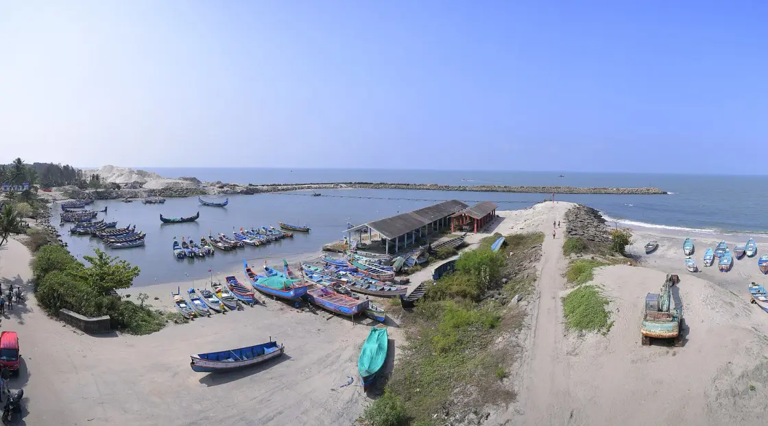
Thottappally is where Kuttanad is supposed to drain. A spillway commissioned in 1955 was built to take the floodwater of the Pamba, the Achankovil and the Manimala out of the paddy country and into the Arabian Sea, and it has never managed to do the job it was designed for. The Kerala Irrigation Department's own figure is that it was designed for 1,800 cubic metres per second and passes about 600, because the channel silts up. Beside it is a working fishing harbour with a painted fleet, two rock breakwaters and heaps of dark sand being loaded by excavator — and that sand is not spoil. It is titanium-bearing mineral sand, and it is trucked south to a state factory. At Thottappally, the flood-control problem and the mining question are the same sentence.
Begin with the number, because almost everything written about this place gets it wrong. Wikipedia and effectively every travel page state that the Thottappally spillway was designed to discharge 19,500 cubic metres per second. The Kerala Irrigation Department, on its own website, says something quite different: the actual design capacity of Thottappally spillway is 1,800 cubic metres per second, but it gets reduced to 600 cubic metres per second due to silt deposited at the bottom of the channel.
The difference is not a rounding error, it is a factor of about eleven, and the widely printed figure is physically implausible — 19,500 cumecs is a discharge on the scale of the Brahmaputra, not of a Kerala spillway with a row of shutters across it. We use the department's figure and cite the department.
What that leaves is the actual situation, which is more interesting than the exaggeration: Kuttanad's principal flood defence has been running at roughly a third of its design capacity for decades, and everybody involved knows it.
Three causes are on record and they compound each other. During the monsoon the sea-breeze-driven rise in sea level pushes the sea up relative to Kuttanad, so the water has less fall to work with. A sand bar forms west of the spillway and blocks the outlet. And the leading canal that brings the water to the spillway in the first place is too narrow. A drain needs a gradient, an open mouth and a big enough pipe, and Thottappally has trouble with all three at once.
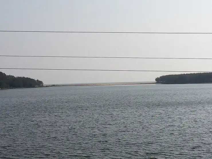
The mouth is the part that requires human intervention every year. The pozhi — the estuary mouth — closes with sand for most of the year and has to be cut open by machine before the monsoon arrives. In 2018 it was opened to a width of 200 metres, well ahead of the floods. Kuttanad went under anyway: that August brought the worst flooding in Kerala in nearly a century, all fourteen districts on red alert, a Level 3 Calamity declaration, and comparisons to the great flood of 99 — the Malayalam-era year corresponding to 1924. The Achankovil, Manimala, Pamba, Puthanar and Thalavadiyar all overflowed to roof height. The department's stated target is to open the mouth to about 320 metres, with enough depth in the channel to matter.
Among the emergency measures on record from that period, alongside raising all the shutters and round-the-clock desilting, is the partial dismantling of a national highway bridge that was impeding the flow. That is the scale of the problem: a road bridge taken apart to let a river out.
It is worth being clear about what Thottappally is for, because it is the mirror image of the other great structure on this system. Thanneermukkom, twenty-odd kilometres north across the lake, exists to keep water out — a barrage closed against the tide so that salt does not reach the paddy during the cropping season. Thottappally exists to let water out, and to do it fast, when three rivers in spate arrive in a landscape that lies below the sea. One holds a line; the other opens a valve. Kuttanad depends on both working, at opposite ends of the same year, and the fact that this one has run at a third of its capacity for decades is the single most consequential piece of infrastructure news in the district.
Now the second half, which is what makes Thottappally unlike anywhere else on this coast. The desilting works remove obstructions over roughly 500 metres downstream of the spillway near the pozhi mouth, and the department assesses the removable sand at 249,121.5 cubic metres across 179,700 square metres. That sand is not dumped. It is transported to the KMML unit at Chavara — the state-owned minerals plant — because the black sand of this coast is titanium-bearing mineral sand and it is feedstock.
So dredging the flood channel and extracting a mineral are, here, physically the same operation. ⚠ Sand mining on this coast is a politically live subject in Kerala, and we are deliberately staying inside the department's own published numbers and wording rather than characterising it further. But the fact itself is worth understanding before you look at the excavators in the harbour: what they are loading has a market.
There is a further consequence of the way the spillway divides the water, and it is the reason birdwatchers come here. East of the shutters the lake is fresh; west of them, at the mouth, it is saline and tidal. Between the two lies a mosaic of shallow water, exposed mud and sandbar that changes with every opening and closing of the pozhi — which is exactly the habitat shorebirds want. Thottappally has become one of the better-known wader spots on this coast largely as a by-product of a flood-control decision made in the 1950s.
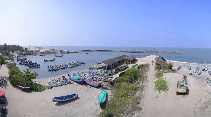
⚠ One correction to our own earlier description of this place. We had it down as a quiet beach. The photographs show a working fishing harbour — a basin packed with painted boats, two rock breakwaters reaching into the sea, a long shed and heavy plant moving dark sand. There is a beach, and it can be quiet, but arriving expecting seclusion would be a mistake. Note too that the beach and the spillway are about 750 metres apart and are different places; directions to one are not directions to the other.
We have not found any folklore attached to Thottappally, and we would rather set out what that does and does not mean than fill the space.
The two things at this site are a spillway commissioned in 1955 and a working fishing harbour. Neither is old enough to have accumulated legend, and a concrete flood-control structure is not the sort of thing that attracts it. On that basis the blank is credible.
But we want to be careful, because a coast is not a building. The rule we work to is that old settlements, shores, groves and temples essentially always carry lore, and that an empty search result at such a place means our search has failed rather than that the lore does not exist — particularly when the search has been in English. So we looked specifically for fishing-community sea lore recorded for this stretch: kadalamma belief, stories about the bar and the mouth, anything attached to the fleet or to the drowned. We found none in the free sources available to us, in English or in Malayalam.
That is a report on our searching, not a verdict on the community. Fishing villages carry a great deal that is never written down, and the absence of a published record here is exactly the situation in which we would expect to be wrong. If there is Thottappally sea lore, we would rather print it than this paragraph.
🚫 What we are not going to do is borrow. Kuttanad's flood memory is close at hand and powerful — the flood of 99, the year 1924, still used as the measure against which 2018 was judged — and it would sit plausibly on this page. It is history rather than folklore, it belongs to the Kuttanad pages, and it is not Thottappally's. The Ambalappuzha payasam legend is a few kilometres up the road and is not ours to move either.
What this place has instead of a legend is an annual ritual that behaves like one, and it is worth describing in those terms because the resemblance is real. Every year, before the monsoon, the pozhi has to be cut. The sea closes the river's mouth with sand over the dry months, and machines open it again — two hundred metres of it in 2018, against a departmental target of three hundred and twenty.
A river mouth in Kerala is not a fixed feature of the landscape. It is a thing that closes and is opened, on a deadline, by decision, every single year, and the consequences of getting the timing wrong are measured in flooded villages. In most places the annual event that everyone watches for is a festival. Here it is an excavator cutting a channel through a sandbar, and whether it is wide enough.
It is worth adding that the cutting is not a ceremony and nobody pretends it is. It is contract work, done to a schedule, argued about in the press, and measured in metres and cubic metres. But the shape of it — a community whose year turns on whether a channel is opened wide enough and early enough, and whose worst memory is the year it was not enough — is the shape a legend would have if this coast had one.
That is not folklore and we are not dressing it up as such. It is, though, the thing this coast organises its year around, and it is a better answer to what Thottappally means than an invented legend would have been.
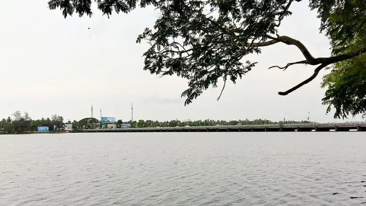
The Thottappally spillway was commissioned in 1955, built to discharge the floodwaters of the Pamba, Achankovil and Manimala rivers from Upper and Lower Kuttanad into the Arabian Sea. It divides Thottappally lake: fresh water to the east, the saline river mouth to the west.
⚠ Its design capacity is 1,800 cubic metres per second per the Kerala Irrigation Department, reduced in practice to about 600 by silt in the channel. The figure of 19,500 cumecs, printed on Wikipedia and across the travel web, is not the department's and is roughly eleven times too large.
Three causes of underperformance are on record: a monsoon rise in sea level relative to Kuttanad driven by the sea breeze; sand-bar formation west of the spillway; and a leading canal that is too narrow. The estuary mouth silts closed for most of the year and must be machine-cut open before each monsoon.
In August 2018 Kerala suffered its worst flooding in nearly a century — all fourteen districts on red alert and a Level 3 Calamity declaration — despite the mouth having been opened to 200 metres in advance. Emergency measures included raising all shutters, continuous desilting and the partial dismantling of a national highway bridge obstructing the flow.
Current works clear obstructions over roughly 500 m downstream of the spillway near the pozhi mouth, with removable sand assessed at 249,121.5 m³ across 179,700 m². The material is transported to the KMML unit at Chavara: it is titanium-bearing mineral sand rather than waste.
For the spillway itself — a long row of shutters between a freshwater lake and the open sea, and the clearest place to understand how Kuttanad is supposed to survive a monsoon.
For the harbour, which is the opposite of a resort beach: a basin packed with painted fishing boats, two rock breakwaters, and the working life of the coast in plain view.
For the black sand. The dark heaps being loaded here are titanium-bearing mineral sand bound for the state plant at Chavara — a detail that turns a dredging operation into something much more interesting.
For the birds. The shallows and the river mouth draw large numbers of shorebirds, and this is a well-known spot for them, particularly outside the monsoon.
Because it is the quietest way to understand the 2018 flood. Standing at a drain built for 1,800 cumecs that passes 600 explains more than any amount of reading.
For the drive down from Ambalappuzha along the coast, with the sea on one side and the backwater on the other.
Road km to Alappuzha; ghat roads and traffic vary — allow extra.
November to February for dry weather; avoid rough-sea days during monsoon warnings.
Live forecast loads in your browser.
Sun and moon are calculated for this location and shown in IST. Photography windows are the hour around sunrise and sunset; the sunset bearing is degrees clockwise from true north. Moon phase is accurate to about half a day.
Browse listed stays, food, activities, sights, shops and rentals around Thottappally Beach. Check each listing’s locality and contact the business directly for current arrangements.
Restaurant at Hotel Coral Heights near Sree Krishna Temple Road in Ambalappuzha. Hotel restaurant, Hotel Coral Heights Restaurant.
Temple paalpayasam and prasadam counter context for Ambalappuzha Sree Krishna Temple visitors. Temple food and prasadam support.
Official DTPC Alappuzha contact for Ambalappuzha, Kuttanad and south-Alappuzha route checks. District Tourism Promotion Council, Boat Jetty Road, Opposite Canara Bank, Alappuzha 688011 · DTPC, Alappuzha, Official contact.
Direct and Kerala Tourism-listed Ambalappuzha hotel on Sreekrishna Temple Road. Hotel, Sreekrishna Temple Road, Temple stay.
Kerala Tourism source for the Ambalappuzha Sree Krishna Temple and paalpayasam-linked pilgrimage stop.
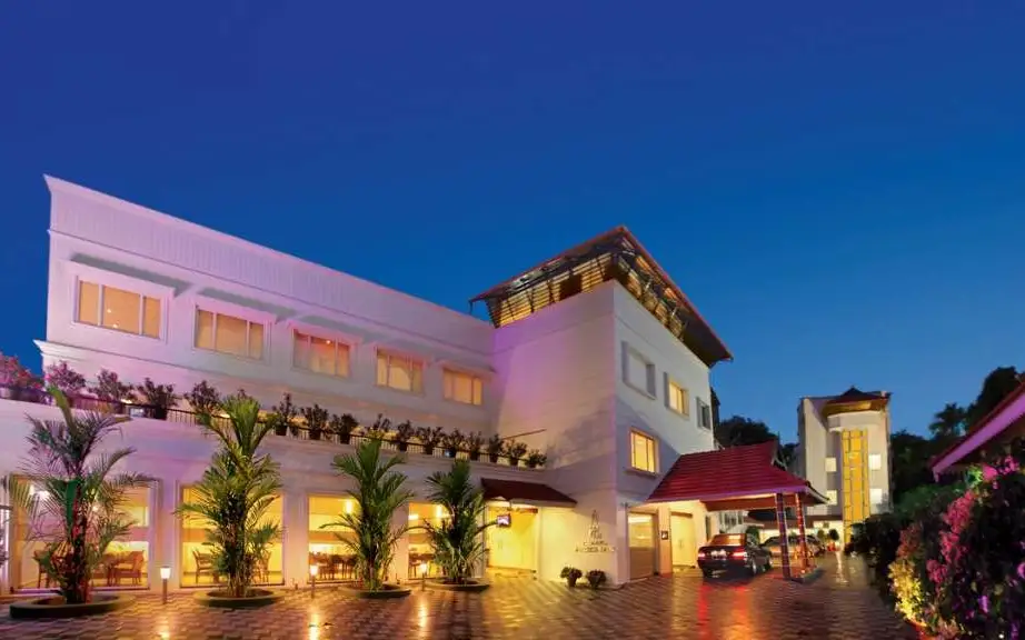
Hotel Coral Heights is listed on Sreekrishna Temple Road in Ambalappuzha, Kerala. The operator’s account links the location with visits to the Sree Krishna Temple and describes a wide lobby.
Book with the place itself. India’s cyber-crime coordination centre warned in April 2025 that convincing copies of hotel and pilgrimage booking sites are being pushed through sponsored search and social ads, taking payment for rooms the property never hears about. Use the contact and source details on each profile to confirm the exact business and booking channel. A directory entry or map pin alone does not establish an operator’s identity or current availability. Roampedia takes no commission and does not collect booking payments. If a booking page reached you through an ad, check the address bar against the property’s own site before you pay. Fraud can be reported on cybercrime.gov.in or on 1930.
Find food, accommodation and activities across Ambalappuzha. Browse the guides for places to eat, stay and explore along your route.
3 more places around Ambalappuzha. Open a guide to plan the visit and onward journey.
7.6 km · straight line
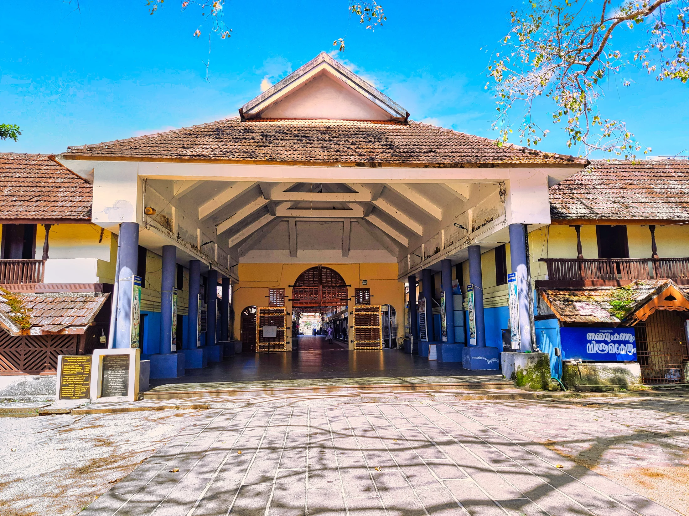
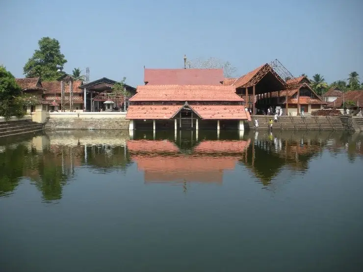
Ambalappuzha Sree Krishna Temple is an active temple in Ambalappuzha town, south of Alappuzha, administered by the Travancore Devaswom Board. Krishna is worshipped here as Parthasarathy, Arjuna’s charioteer. The temple combines a broad tank, tiled courtyards and painted ritual spaces with two enduring cultural associations: Palpayasam offered to the deity, and Kunchan Nambiar’s creation of Thullal. A visit works best when darshan, the permitted exterior spaces and any offering collection are planned around the temple’s morning or evening opening.
7.1 km · straight line
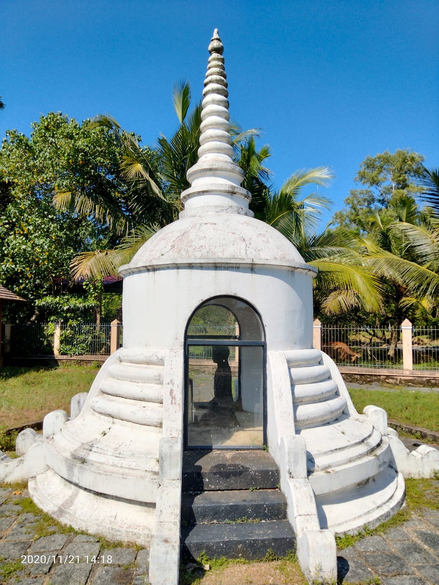
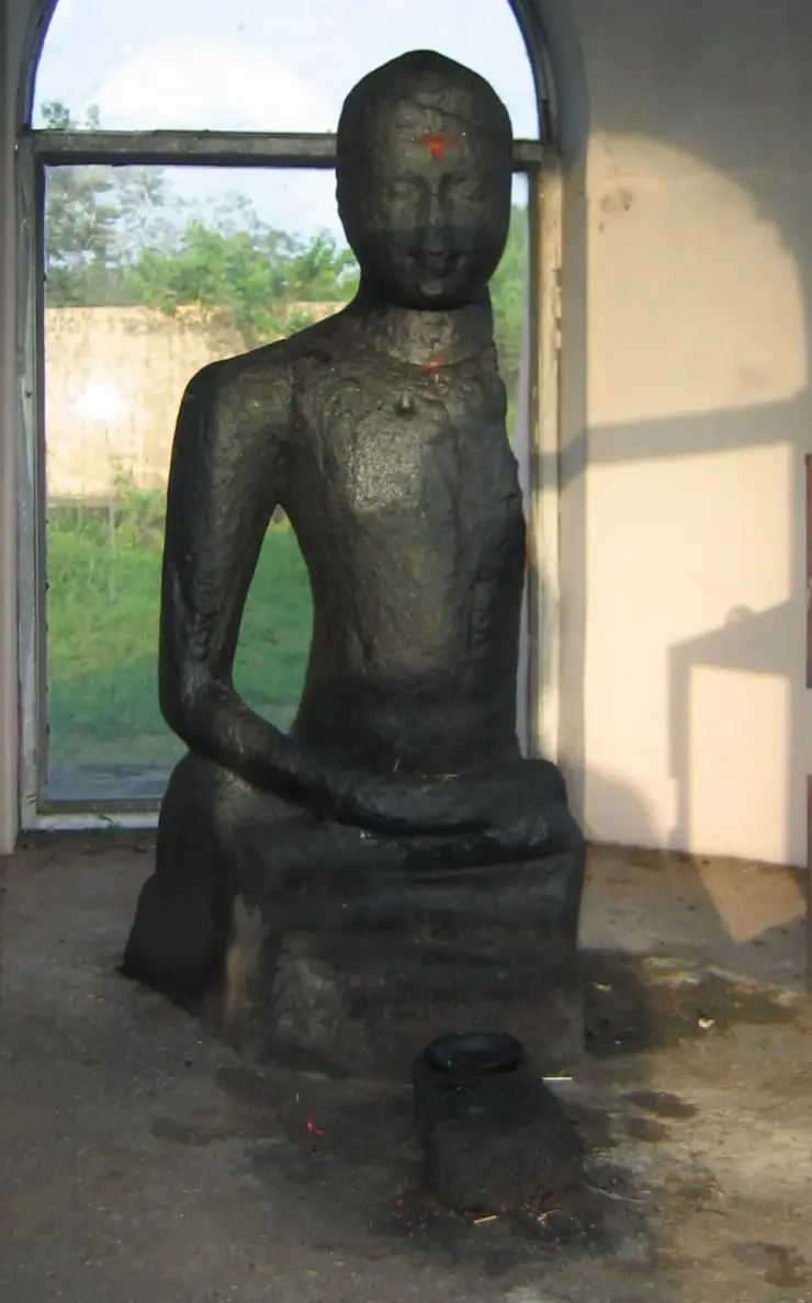
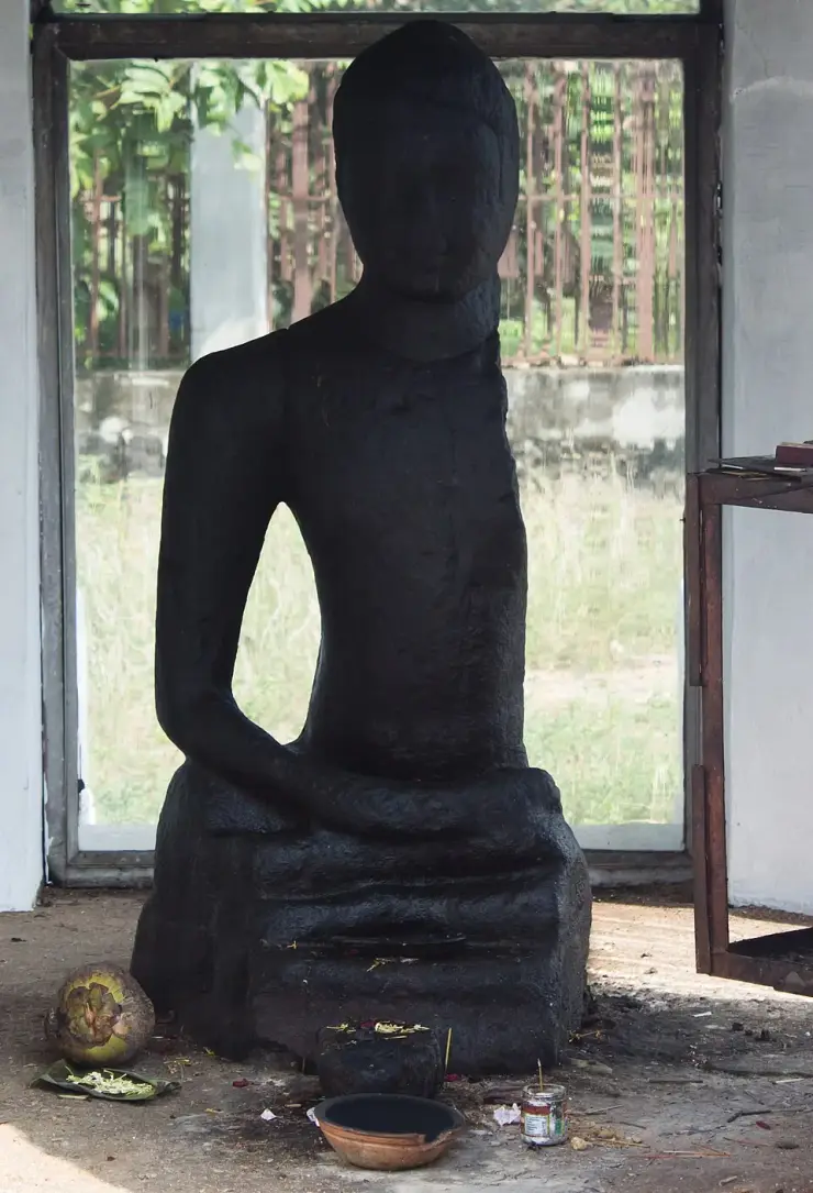
Ancient black-granite Buddha statue at Karumadi near Ambalappuzha, a relic of Kerala’s Buddhist past.
18.4 km · straight line
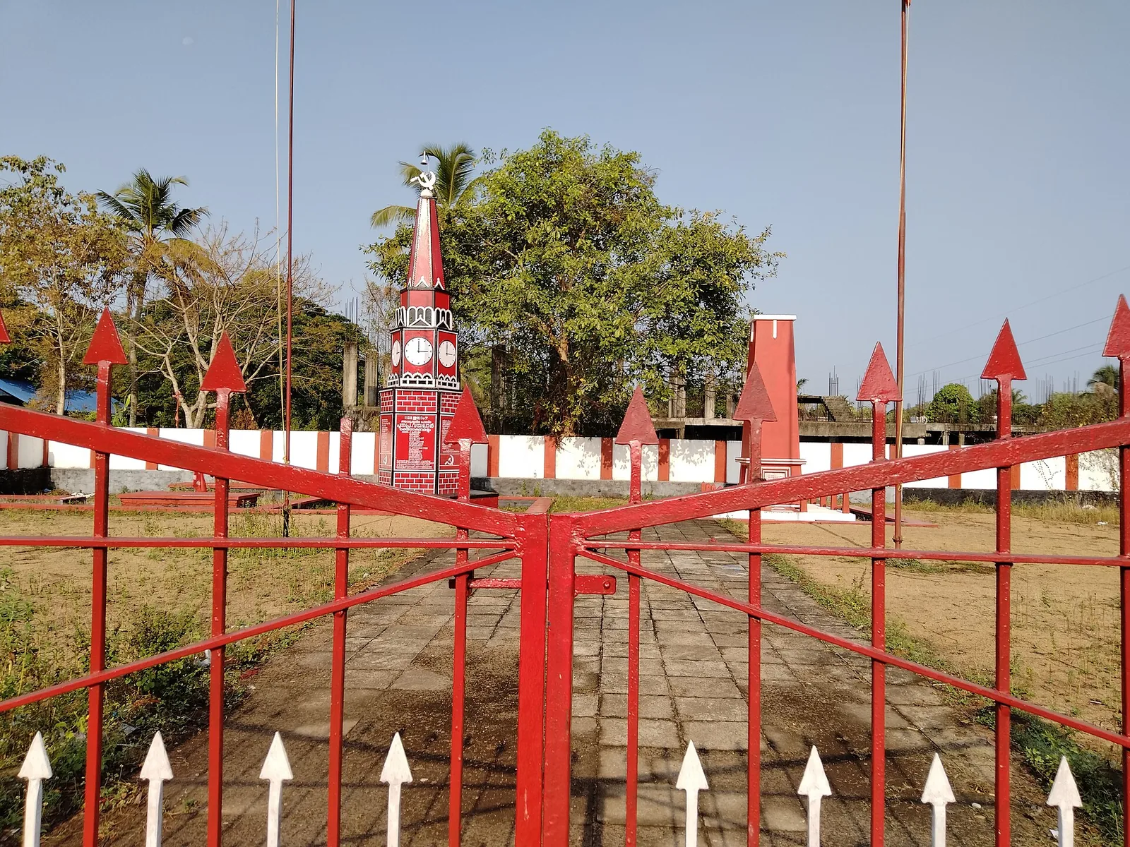
Martyrs’ memorial (Rakthasakshi Mandapam) to the 1946 Punnapra–Vayalar uprising, on the coastal belt north of Punnapra on the Alappuzha side.
Roampedia is commission-free — own or know a stay, eatery, guide or shop near Thottappally Beach? Submit public business details for review.
Add a nearby businessEntry: Nothing to pay. It is public shore, a working harbour and a road along a spillway — no ticket, no booking.
Dress code: None. Practical shoes for a working harbour — it is wet, sandy and busy with vehicles and gear.
Festivals: No festival of its own. ⚠ The event this coast turns on is not a festival at all: the annual pre-monsoon cutting of the pozhi, the estuary mouth, which silts closed each year and must be machine-opened before the floods arrive.
Photography: The spillway shutter line, the painted fleet in the harbour basin and the birds at the mouth are the three subjects. ⚠ This is a working harbour and people are at work in it — ask before photographing crews or boats up close.
If you are travelling by bus or ferry, check the return service with the operator before setting out. Leave time to reach the stop or jetty after your visit.
Ask at the bus stand for the time of the last service back, not the next one. If you miss it, an auto or app cab is the fallback — agree the fare before you get in.
If you need step-free access, contact the site before travelling. Ask about a level entrance, steps along the route, the nearest drop-off point, seating and accessible toilets.
These services are listed within about 1.2 km of Thottappally Beach. Walking distances follow mapped routes; access and opening hours can change. Other services may be closer but are not included here.
Published emergency and visitor-assistance contacts. For an immediate emergency, call 112. Shared Kerala contact sources checked 4 October 2026; publication does not establish a tested live response.
Ancient black-granite Buddha statue at Karumadi near Ambalappuzha, a relic of Kerala’s Buddhist past.
7.1 km · straight lineAmbalappuzha Sree Krishna Temple is an active temple in Ambalappuzha town, south of Alappuzha, administered by the Travancore Devaswom Board. Krishna is worshipped here as Parthasarathy, Arjuna’s charioteer. The temple combines a broad tank, tiled courtyards and painted ritual spaces with two enduring cultural associations: Palpayasam offered to the deity, and Kunchan Nambiar’s creation of Thullal. A visit works best when darshan, the permitted exterior spaces and any offering collection are planned around the temple’s morning or evening opening.
7.6 km · straight line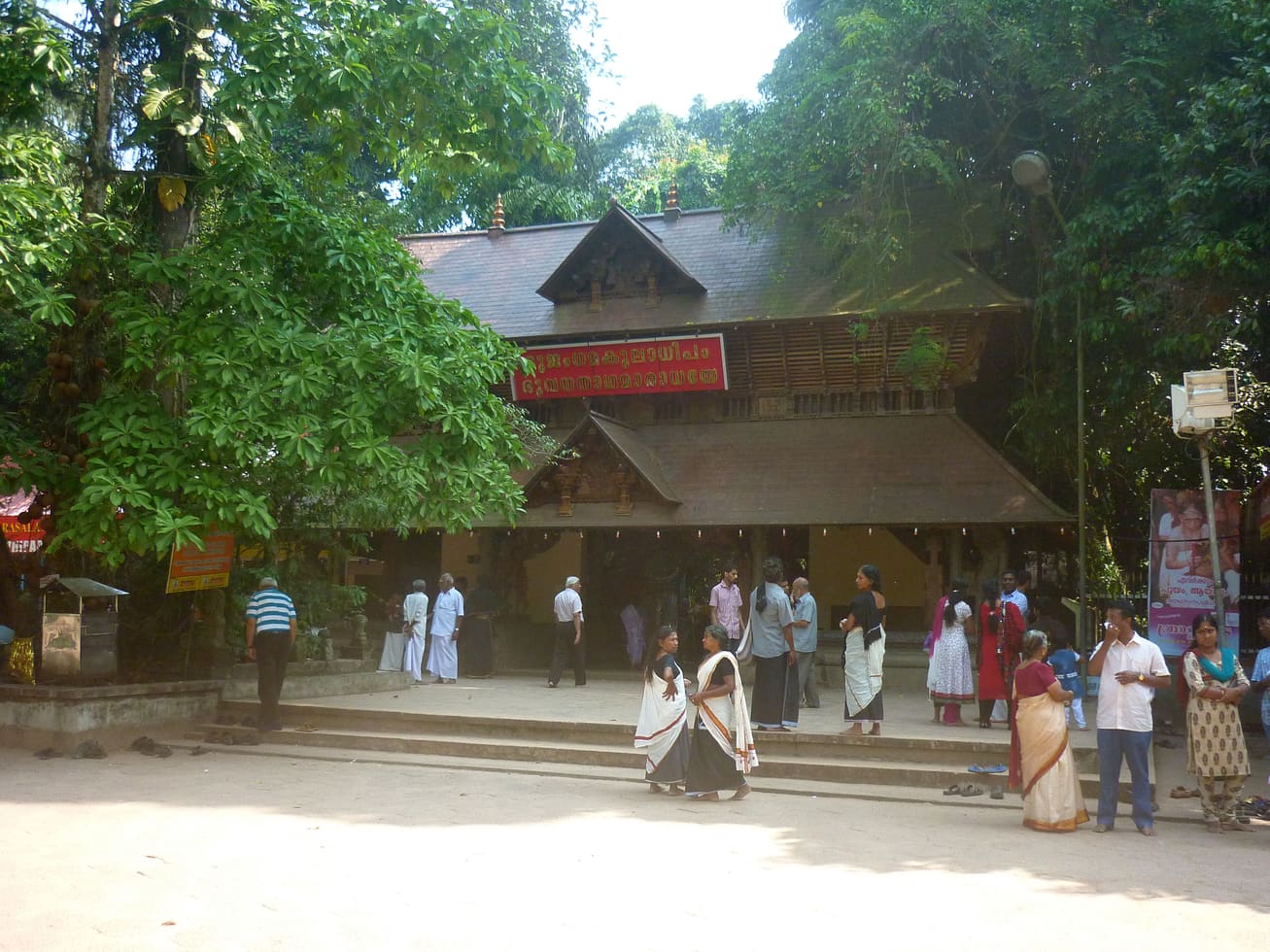
Major serpent shrine set in a sacred grove.
7.8 km · straight line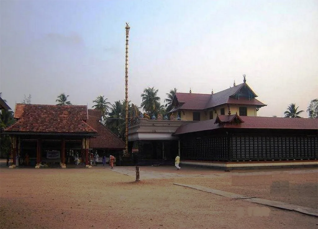
One of Kerala’s oldest Subramanya (Murugan) temples, in the south-Alappuzha town of Haripad.
8.7 km · straight line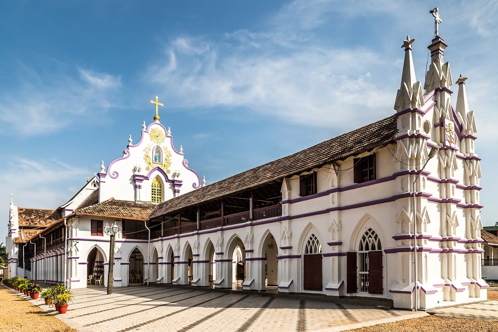
Kuttanad village on the Pamba known for the Champakulam Moolam snake-boat race and Kalloorkad St Mary’s Basilica.
10.8 km · straight line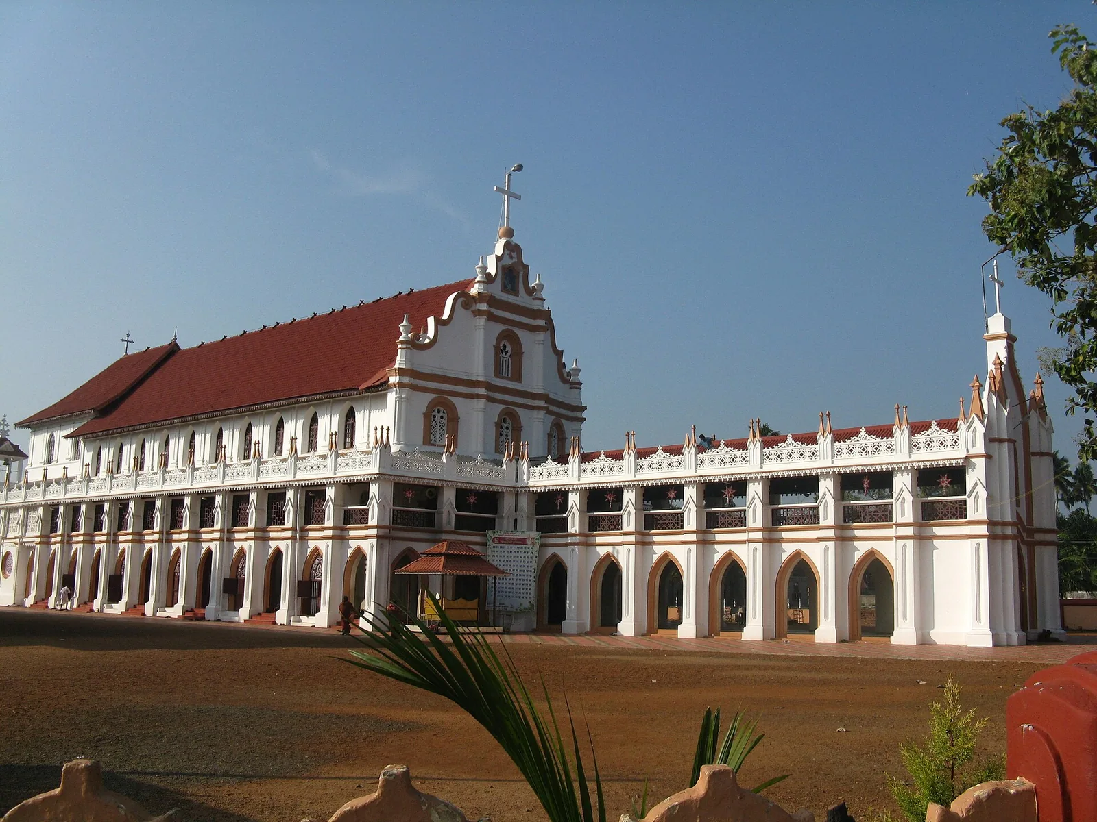
St George Forane Church at Edathua in Kuttanad, known for its large annual pilgrimage feast.
11.9 km · straight line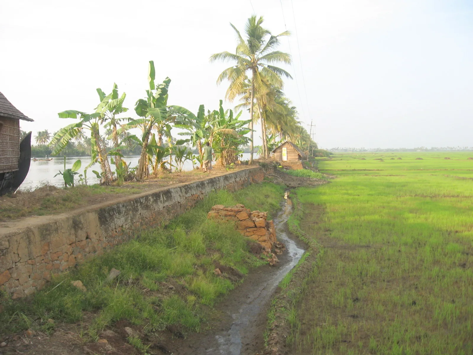
Low-lying paddy and canal region known as Kerala’s rice bowl.
16.0 km · straight line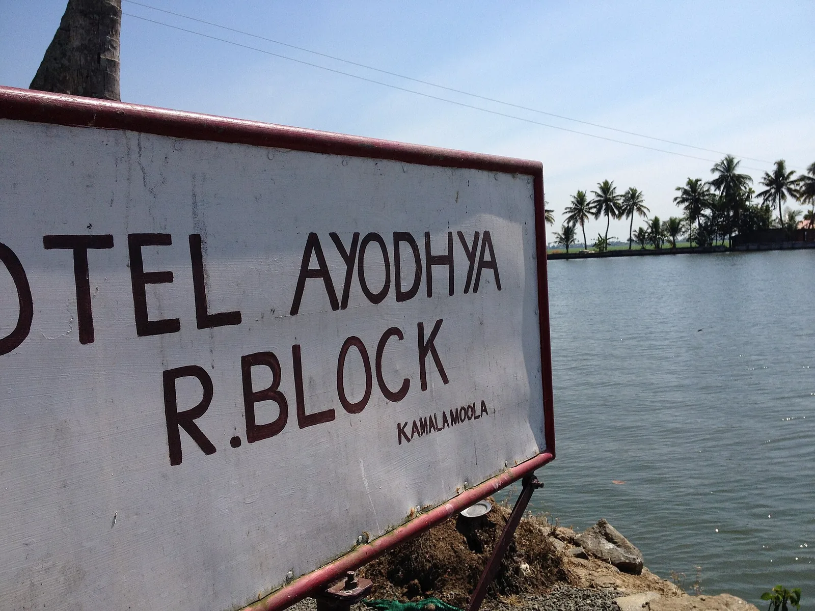
Iconic below-sea-level reclaimed farmland at Kainakary, ringed by bunds with the canal water sitting higher than the paddy fields.
16.8 km · straight line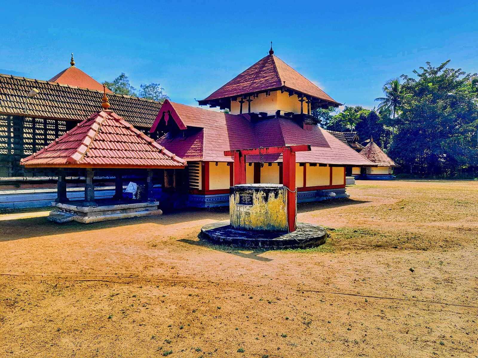
The Shiva temple west of Mavelikkara whose 823 AD epigraph makes it the earliest Kerala temple with a dated inscription about its own origin — Shiva in the kirata hunter form, once the capital shrine of Odanad, and the richest single record of devadasi authority in this region.
17.9 km · straight line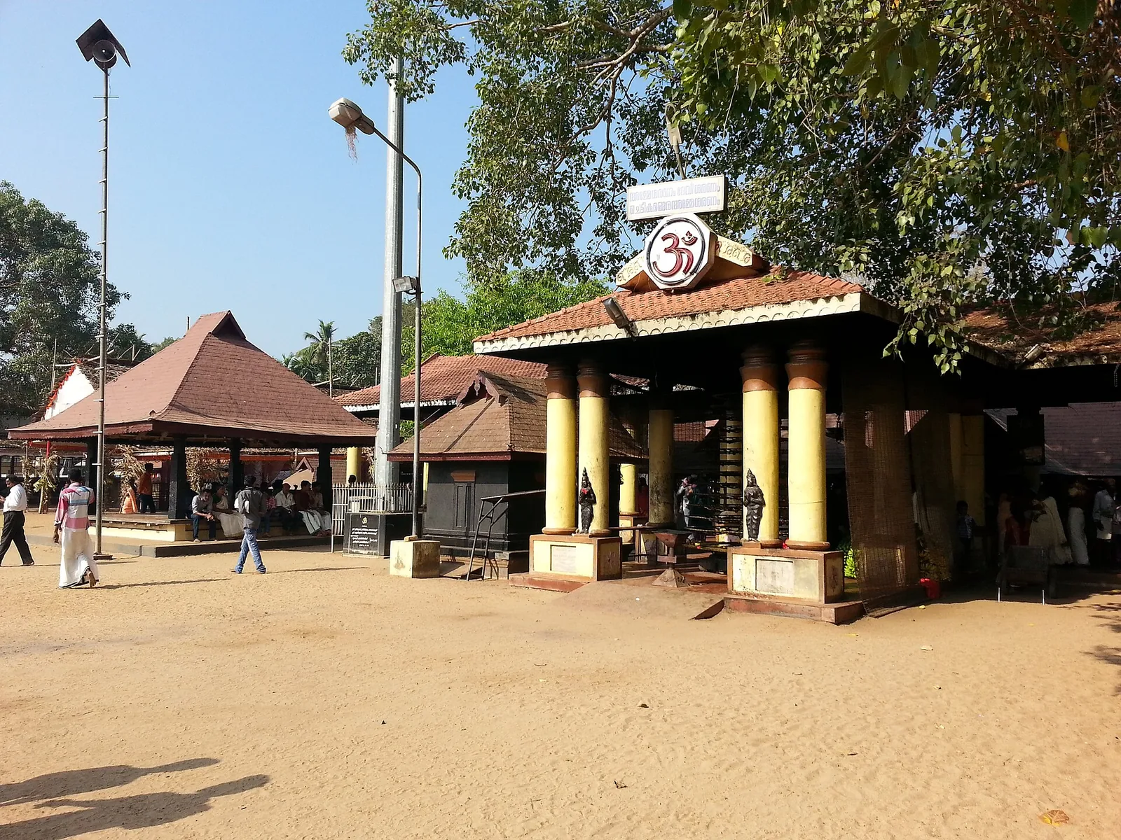
Major Bhagavathy temple near Mavelikkara, famous for its Kettukazhcha and Kumbha Bharani festivals.
18.0 km · straight lineMartyrs’ memorial (Rakthasakshi Mandapam) to the 1946 Punnapra–Vayalar uprising, on the coastal belt north of Punnapra on the Alappuzha side.
18.4 km · straight line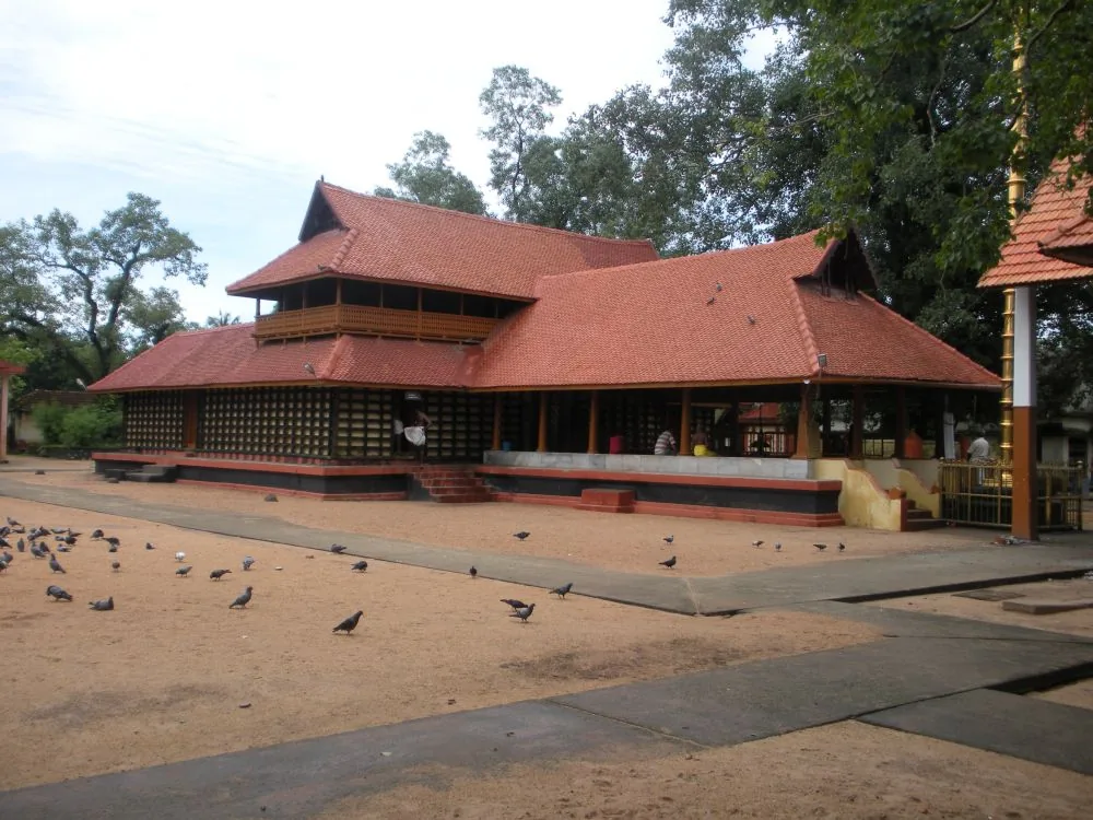
Central Alappuzha town temple (Mullakkal Rajarajeswari) famous for the annual Mullackal Chirappu festival.
20.5 km · straight lineNearby toilets, pharmacies, ATMs, seating and vets are community-mapped and may be incomplete or out of date. Map data © OpenStreetMap contributors | Walking times © openrouteservice.org by HeiGIT
It was commissioned in 1955 to discharge the floodwaters of the Pamba, Achankovil and Manimala rivers out of Upper and Lower Kuttanad into the Arabian Sea, protecting the below-sea-level paddy country behind it.
The Kerala Irrigation Department gives a design capacity of 1,800 cubic metres per second, reduced to about 600 in practice by silt in the channel. ⚠ The figure of 19,500 cumecs that appears on Wikipedia and across travel sites is roughly eleven times too high and is not the department's own number.
Three compounding reasons are on record: the sea rises relative to Kuttanad during the monsoon under the sea breeze, reducing the fall available; a sand bar forms west of the spillway; and the leading canal that feeds it is too narrow. The estuary mouth also silts closed each year and has to be cut open by machine before the monsoon.
It goes to the KMML unit at Chavara. The black sand of this coast is titanium-bearing mineral sand, so the desilting and the mineral extraction are the same operation. The department assesses the removable sand at 249,121.5 m³ over 179,700 m².
Not exactly, and our own earlier description said so wrongly. There is a beach, but the site is dominated by a working fishing harbour with a large painted fleet, two rock breakwaters, a long shed and heavy plant. ⚠ Note also that the beach and the spillway are about 750 m apart — they are not the same point.
No. It is open coast, a public harbour and a road along a spillway; there is nothing to pay and nothing to book.
November to February for dry weather; avoid rough-sea days during monsoon warnings.
Entry: Nothing to pay. It is public shore, a working harbour and a road along a spillway — no ticket, no booking. Timings: Open coast with no gates or hours. The harbour is busiest very early, when the boats come in, and the light on the spillway is best in the late afternoon. There is no lighting, so leave before dark.
Base yourself in Ambalappuzha or a nearby town in Alappuzha, then confirm the last-mile route locally before leaving. Arrive before sunset if you want photos and a calmer walk; beach roads can slow down in the evening. If the visit depends on forest, temple, boat, ferry, weather or seasonal access, check the official/local rule on the day before travel.
1 to 3 hours, longer if staying for food or sunset.
Nearby you can pair Karumadikuttan (7.1 km, approximate straight-line separation), Ambalappuzha Sree Krishna Temple (7.6 km, approximate straight-line separation), Mannarasala Sree Nagaraja Temple (7.8 km, approximate straight-line separation), Haripad Sree Subramanya Swamy Temple (8.7 km, approximate straight-line separation).
Do not swim during rough-sea warnings. Avoid isolated stretches after dark unless with a trusted local/operator.
Written about Thottappally Beach itself — its history, its legends and the arguments about them.
These guides explore Ambalappuzha and the surrounding area. Choose a visit that fits your interests, allowing separately for travel between stops.


Route-level itineraries and practical guides for the rest of Kerala.
Photographs: Sanu N (CC BY-SA 4.0), Tonynirappathu (CC BY-SA 4.0), Arun Muralidhar (CC BY-SA 3.0), Edukeralam (CC BY-SA 3.0), Suresh Babunair (CC BY 3.0), Drsssuresh1961 (CC BY-SA 4.0), Gannu03 (CC BY-SA 4.0), Kannanshanmugam,shanmugamstudio,Kollam (CC BY 3.0). Wikimedia Commons.