There is a signboard a few steps inside the arch at Thusharagiri that settles almost every argument anyone has ever had about this trek, and it has been standing there, in Malayalam, since at least 2011. It is headed Thusharagiri Ecotourism Centre, subtitled attractions and facilities, and it is laid out as a table. The left column lists places. The right column is headed with a single word: dooram. Distance.
What is on the board
Under the first heading, waterfalls, it gives four entries. Erattumukku: 100 metres. Mazhavil Chattam: 500 metres. Thumbi Thullum Para: 1 kilometre. Avinjithode: 6 kilometres. Below them, on its own line, the Thannimuthassi tree at 150 metres. Then a second heading — trekking places — with three more: Thenpara, glossed on the board itself as Honey Rock, at 6 kilometres; Avinjithode again at 6; and Thonikkayam at 2. At the foot of the board sit the two organisations responsible: the Thamarassery Forest Range of the Kozhikode Forest Division, and the Thusharagiri Vana Samrakshana Samithi, registration number 143-6/2003.
Take a minute with the first three numbers, because they are the ones that reorganise your day. The three cascades that every article about Thusharagiri names — Erattumukku, Mazhavil Chattam, Thumbi Thullum Para — are strung along the first kilometre of trail. Not five kilometres. Not a hard morning’s climb. One kilometre, the first tenth of it on a made-up path wide enough for a family walking three abreast.
Why the reviews contradict each other
That single fact explains the strange split you find in visitor accounts. Half of them describe a gentle stroll with children, a hanging bridge, an enormous flat rock and a swim. The other half describe steep slippery pitches, hauling on wild vines, stream crossings and leeches. Both are accurate. They are describing the same trail at different distances from the gate, and the gap between the two experiences is measured in hundreds of metres.
The made surface ends not long after the first fall. Erattumukku, at 100 metres, is effectively an extension of the car park: a broad grey apron of rock with the water sliding down a slabbed face above it, thin white ribbons in the dry season and something much heavier after rain. In photographs taken fourteen years apart the scene is almost identical — a crowd spread across the slab, a knot of people standing directly under the fall, a few more sitting on boulders at the pool’s edge. This is where most visitors to Thusharagiri stop, and it is why so much of the internet reports the place as easy.
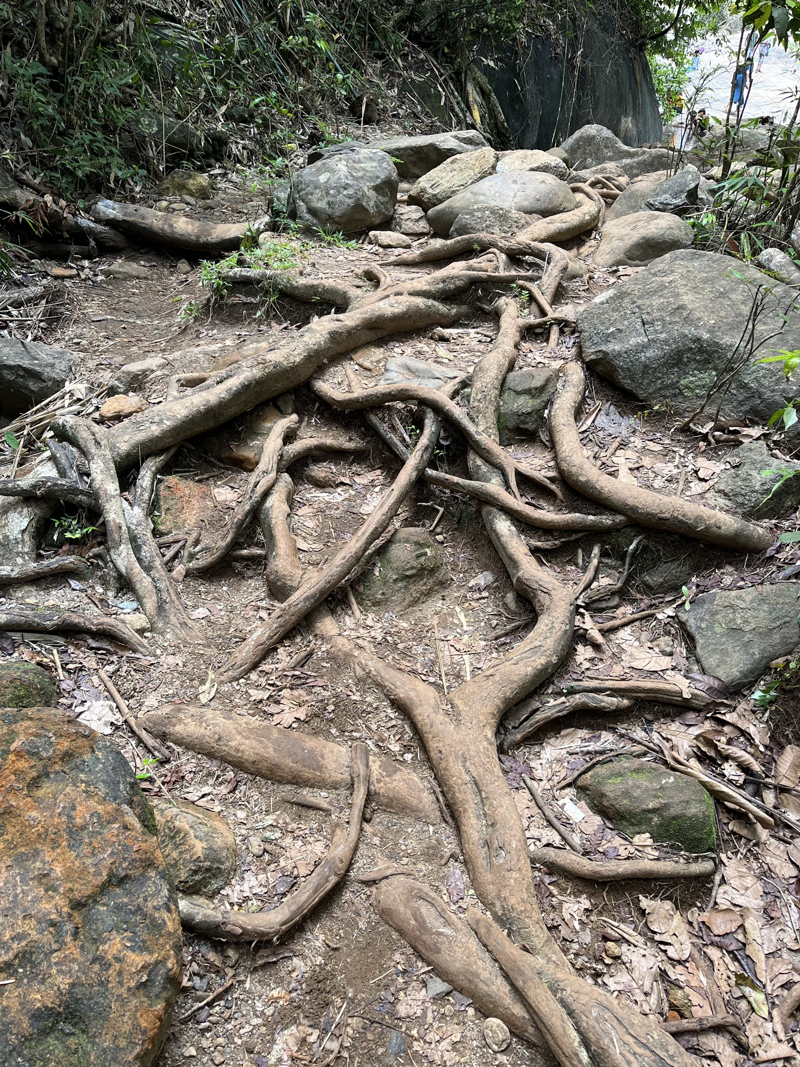
Then the trail changes register. Past the first fall the going becomes root, packed earth, loose stone and stream-polished rock, and it tilts. Four hundred metres of that brings you to Mazhavil Chattam, the Rainbow Leap, greener and more enclosed and considerably quieter, because the gradient has already done its filtering. Another climb — the one where people find themselves reaching for the vines that hang across the slope — brings you at about a kilometre to Thumbi Thullum Para, the rock where the dragonflies dance. There is a natural basin here, the one on all the postcards, and in low water people slide the last stretch of smooth rock into it.
The heading nobody quotes
The second heading on the board is the more interesting half. Trekking places, listed separately from the waterfalls: Thonikkayam at 2 km, Avinjithode at 6 km, Thenpara — the Honey Rock — at 6 km. The department has drawn the line itself. Walking to the falls is one activity; trekking is another; and the boundary sits somewhere just above Thumbi Thullum Para.
That distinction is not decorative. The upper routes are run on guides. Permission is issued at the ecotourism counter, on the spot rather than in advance, and trekkers report a group rate of the order of five hundred rupees for up to ten people with a guide accompanying them, on top of a modest per-head entry ticket. Two kilometres one way in one to two hours is the figure most often given for the guided route, which sounds gentle until you remember that the two kilometres in question include stream crossings and hand-over-vine scrambling rather than a footpath. Fees and arrangements change; the counter, not a blog, is the authority.
There is also a clock. Published opening hours for Thusharagiri disagree with each other — one official district listing gives six in the morning to six in the evening, other sources give roughly half past eight to five — which is a good reason to distrust any single figure you read. What comes up consistently in visitor reports is a mid-afternoon cut-off, around three o’clock, for starting up toward the second and third falls. That is a sensible rule for a trail with no lighting and a river at the bottom of it, and it means that a late-morning arrival has already lost the upper half of the day (indicative — confirm on the day).
The tree between the falls
Between the cascades the board slips in one attraction that has nothing to do with water. The Thannimuthassi — the grandmother thanni — stands 150 metres along, an immense Terminalia bellirica whose branches are shaggy with epiphytes and whose trunk has gone hollow with age. The description filed with the earliest photographs of it puts it at around a hundred and twenty years old and notes, matter-of-factly, that three people can climb into the base and sit down together. It is listed on the board as its own line item, which tells you how this trail is meant to be read: as a sequence of set pieces at posted distances rather than a push toward a summit.
The last block on the board lists what the centre provides — camping, a toilet, drinking water, guide services, forest visits. It is a short list, and honest. This is a small ecotourism operation in a working forest range, jointly run with the households who live on the fringe of it, and the guides who walk you to Thumbi Thullum Para are drawn from those households. Nothing above the first fall has been engineered for your convenience, and that is the point.
Decide which day you want
So read the board before you buy the ticket. A one-kilometre walk to three waterfalls and a swim is a genuine, satisfying, easily achievable outing that will take a couple of unhurried hours. A guided trek to Thonikkayam or the Honey Rock is a different proposition that needs an early start, a booking and proper shoes. The tourism copy blurs the two into a single easy one-to-two-hour trek to three waterfalls. The forest department, in paint, on a board, at the gate, has already told you they are not the same thing. The rest of the district is on the Kozhikode hub.
Frequently asked questions
How far are the three Thusharagiri waterfalls from the gate?
The Forest Department’s own board posts Erattumukku at 100 metres, Mazhavil Chattam at 500 metres and Thumbi Thullum Para at 1 kilometre, under a column headed dooram — distance. All three are inside the first kilometre of trail, and the opening stretch is a made-up path.
Is Thenpara one of the Thusharagiri waterfalls?
Not according to the department that runs the site. The board lists Thenpara — glossed on it as Honey Rock — under a separate heading, trekking places, at 6 km, alongside Avinjithode at 6 km and Thonikkayam at 2 km. English Wikipedia nonetheless describes Thenpara as the tallest of the falls at 75 metres.
What is the real trekking at Thusharagiri?
The routes filed under the board’s trekking heading: Thonikkayam at 2 km, and Avinjithode or Thenpara at 6 km. These run on guides, with permission issued at the ecotourism counter on arrival, and trekkers report a group rate of around ₹500 for up to ten people plus a small entry ticket (indicative — confirm at the counter).
