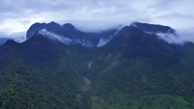
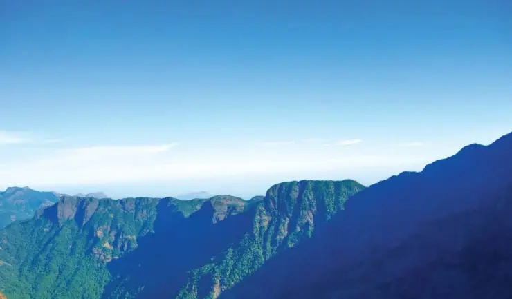
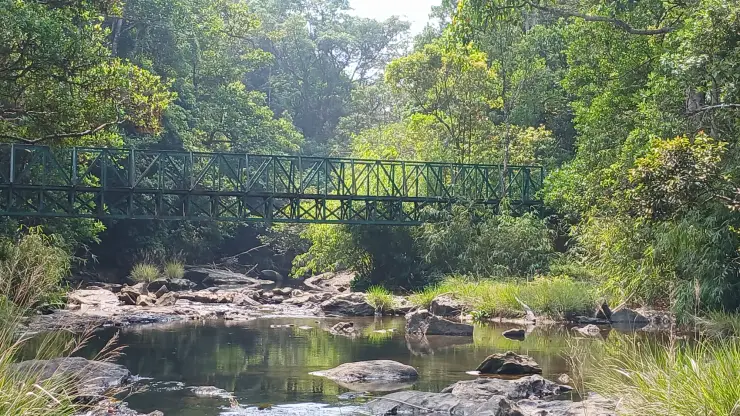
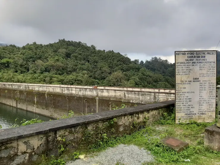
At Thusharagiri the sound of falling water comes through a close screen of leaves. The walking landscape changes from a managed entrance to roots, rock and forest shade, with each opening in the vegetation revealing a different part of the stream.
The story of Thusharagiri Waterfalls trek
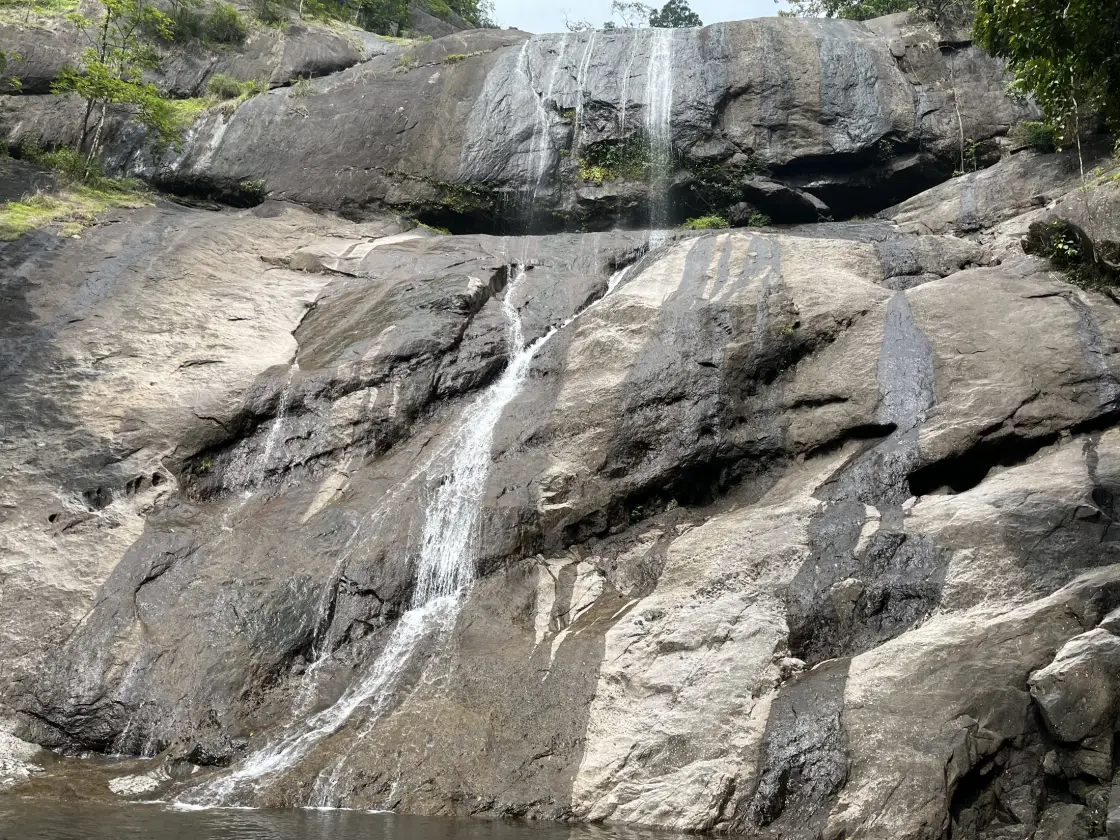
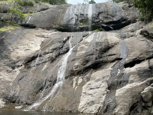
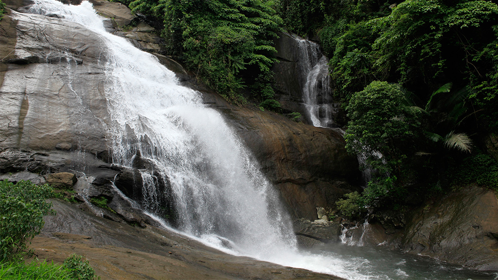
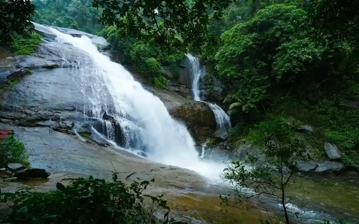
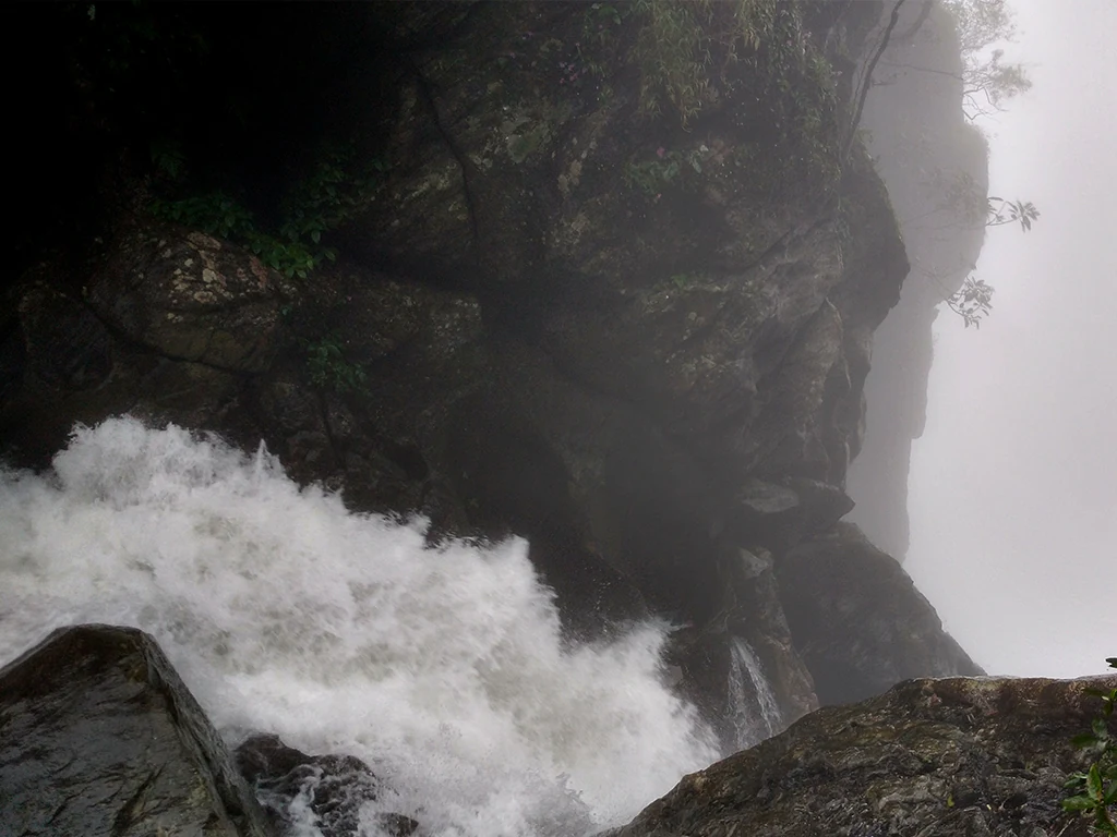
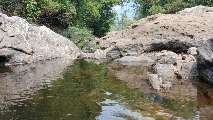
The waterfalls are best understood as a sequence of changes in level. A broad slab may carry only a narrow white ribbon in a lower-flow photograph, while a recess beneath an overhang remains dark. Further down, the water finds a groove between rounded rock surfaces. The route is interesting because these forms can be read together, rather than because every stop produces the same full-height waterfall portrait.
Kerala Tourism associates three principal names with the site: Erattumukku, Mazhavil Chattom and Thumbithullumpara. The names help distinguish stages of the waterfall landscape, but the distance printed on an old sign is not a substitute for the route currently offered. The Forest Department now gives the Thumbithullumpara programme its own entry, separate from the ordinary waterfall ticket.
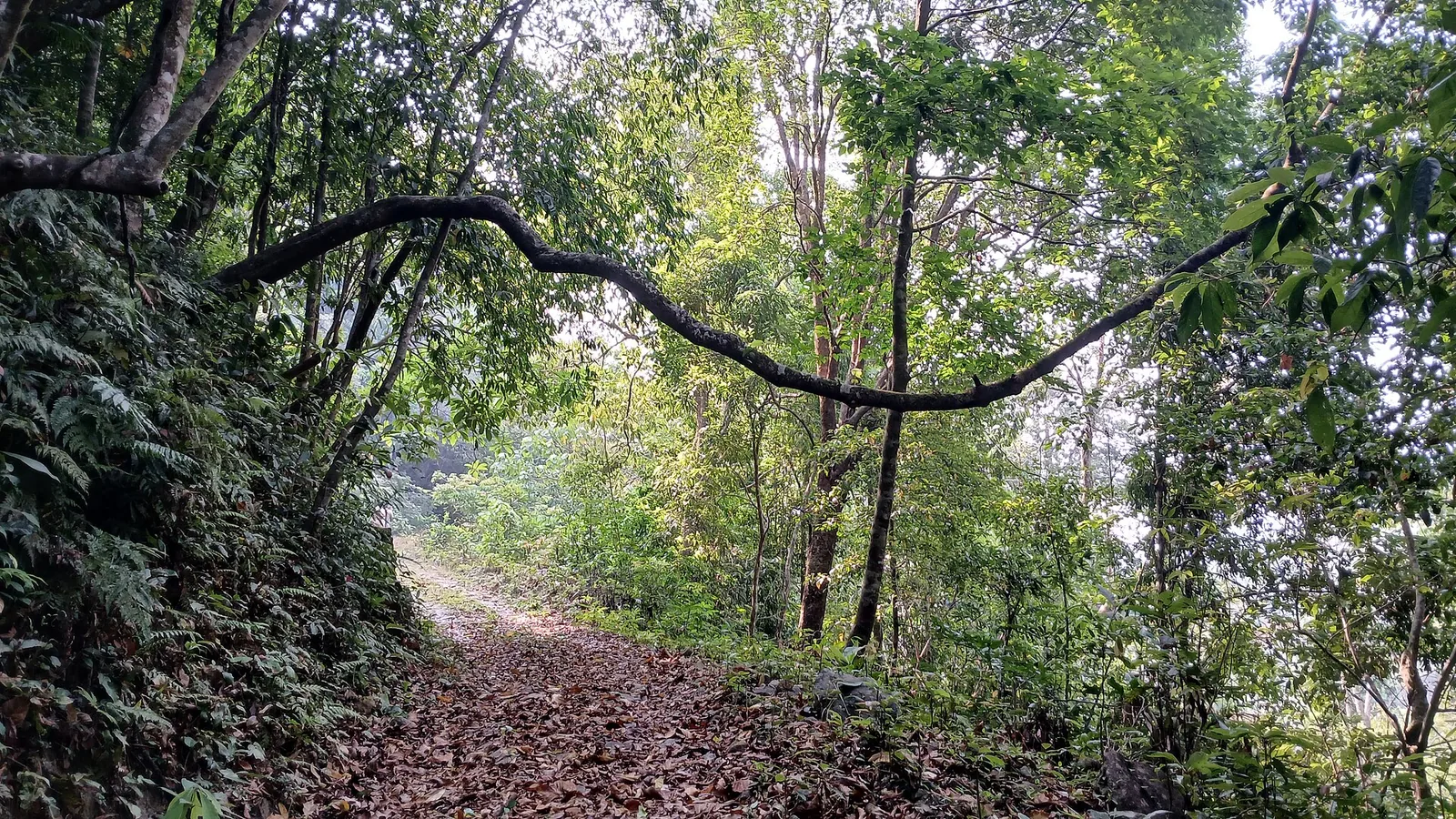
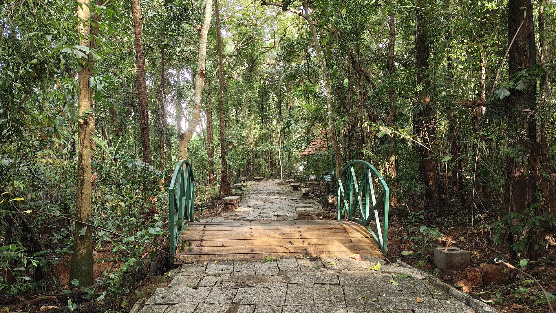
The trail surface provides a more useful measure of effort than a short kilometre figure. Photographs show exposed roots crossing bare earth and large stones, with the forest closing around the path. Progress on this kind of ground involves placing each step and negotiating uneven changes of level. A three-hour programme can therefore be appropriate even when its advertised distance looks modest.
The woodland also changes the experience of looking. Close to the stream, leaves and trunks interrupt a clear line of sight; the gorge is revealed in fragments. Look first at the near ground, then at the opposite slope, and finally at the opening above. This makes the walk more than a succession of photo stops and keeps attention on the actual path rather than a distant patch of white water.
Thanni Muthashi offers a different scale of observation. The hollow tree near the visitor area is photographed from within its rough-walled opening, with daylight showing through gaps above. Its interest is the contrast between the outer trunk and the space inside it. The presence of a cavity does not establish the tree’s age, and repeated claims about how many people fit inside should not determine how visitors approach it.
Thenpara belongs to another level of commitment. The Kozhikode Division describes an interior route through Thonikkayam and the Jeerakappara forest area, with an outward walk, a rest at the destination and a return along the same route. This is a managed forest excursion with a briefing and approval process. It should be chosen for its woodland journey, rather than appended impulsively after reaching a waterfall.
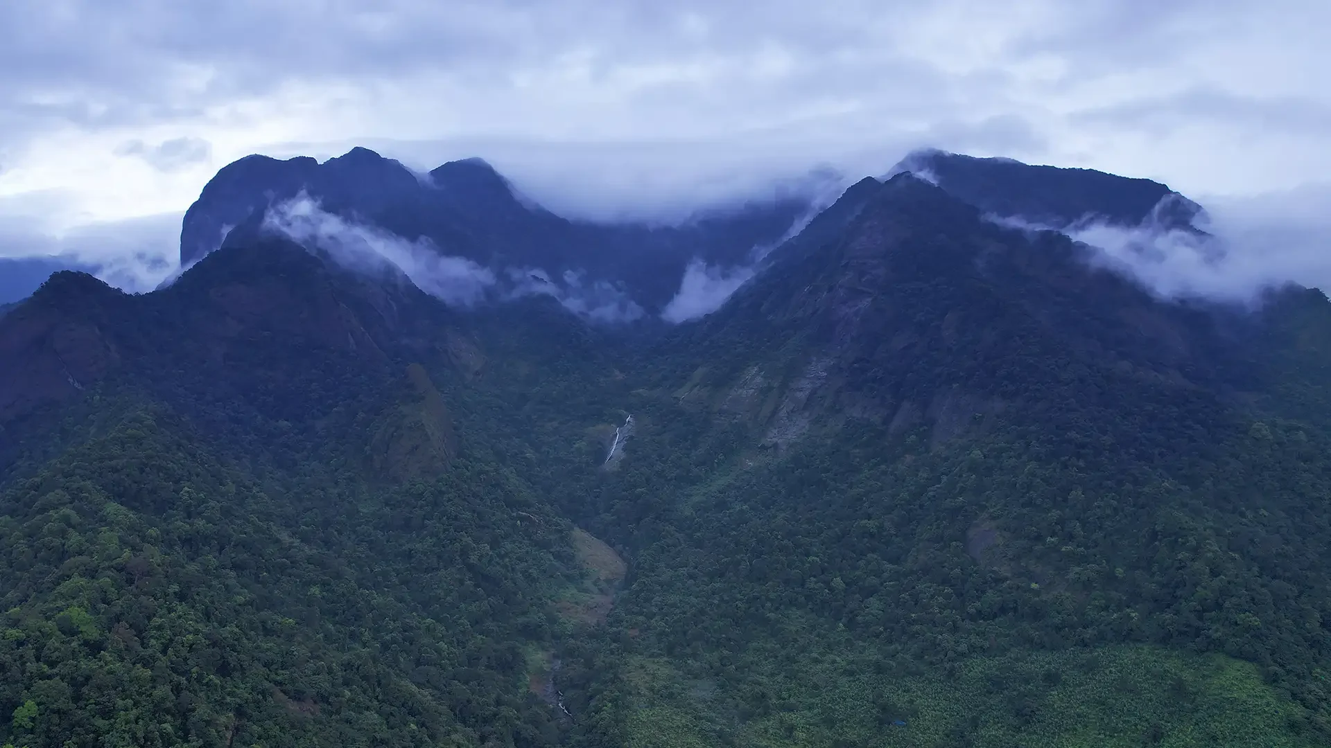
The surroundings also explain why an older tourism reference to trekking towards Vythiri needs care. A landscape can contain historical walking connections without every connection operating as a present-day visitor programme. The useful decision at Thusharagiri is the named route being conducted by the forest centre, with an identified endpoint and return arrangement.
For a mixed group, the lower visit can be a complete outing in its own right. There is no requirement to reach the highest cascade to understand the place. A shorter authorised walk that includes a view of the water, a look at the tree and time under the canopy may serve someone’s interests better than a hurried climb whose return becomes difficult.
Mazhavil Chattom introduces a feature that depends on the visitor’s position as well as the water. Kerala Tourism explains its ‘Rainbow Falls’ name through sunlight scattered by the spray. A rainbow is therefore a possible moment within the gorge, not a permanent coloured stripe on the rock. Shade, cloud, the angle of the sun and the amount of spray all affect what is visible. Waiting at an admitted viewpoint can reveal changing light without needing to move onto the slippery surface for a closer frame.
The spaces between cascades matter as much as the drops themselves. In the tourism account, the walk continues uphill after Erattumukku rather than ending at one viewing platform. That change from looking across water to climbing through woodland is the defining rhythm of Thusharagiri. Someone interested mainly in the first waterfall can stop with a coherent visit; someone choosing a longer programme takes on the intervening ground as well as the next named destination. The names describe a sequence, not three independent road stops.
At the hollow tree, the name Thanni Muthassi carries a familial meaning: Grandmother Thanni. Kerala Tourism identifies it as a Thanni or bedda-nut tree and records a belief that it is about four centuries old. The age belongs to the local account rather than a dated planting register. The tree’s visible form is interesting without converting that belief into a measurement: the substantial outer trunk, irregular interior walls and openings above make a living structure that cannot be understood from a distant silhouette alone.
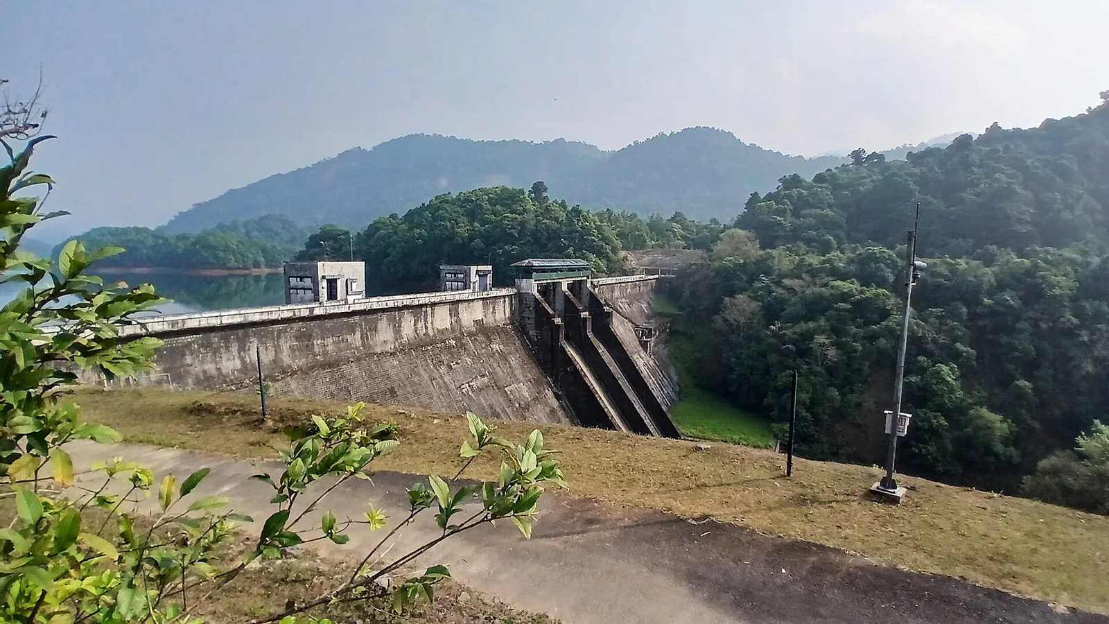
Thusharagiri's road bridge belongs to the river setting before the forest walk begins. Kerala Tourism places the arch bridge across Chalippuzha near the waterfalls. A road crossing gives a broad sense of the valley, while the admitted waterfall route brings the visitor closer to the broken rock and wooded slopes. Keep those two forms of access distinct: a bridge used by traffic is an arrival landmark, and the forest counter determines the walking route beyond it. There is no need to stop on the carriageway to make the bridge part of the day's understanding.
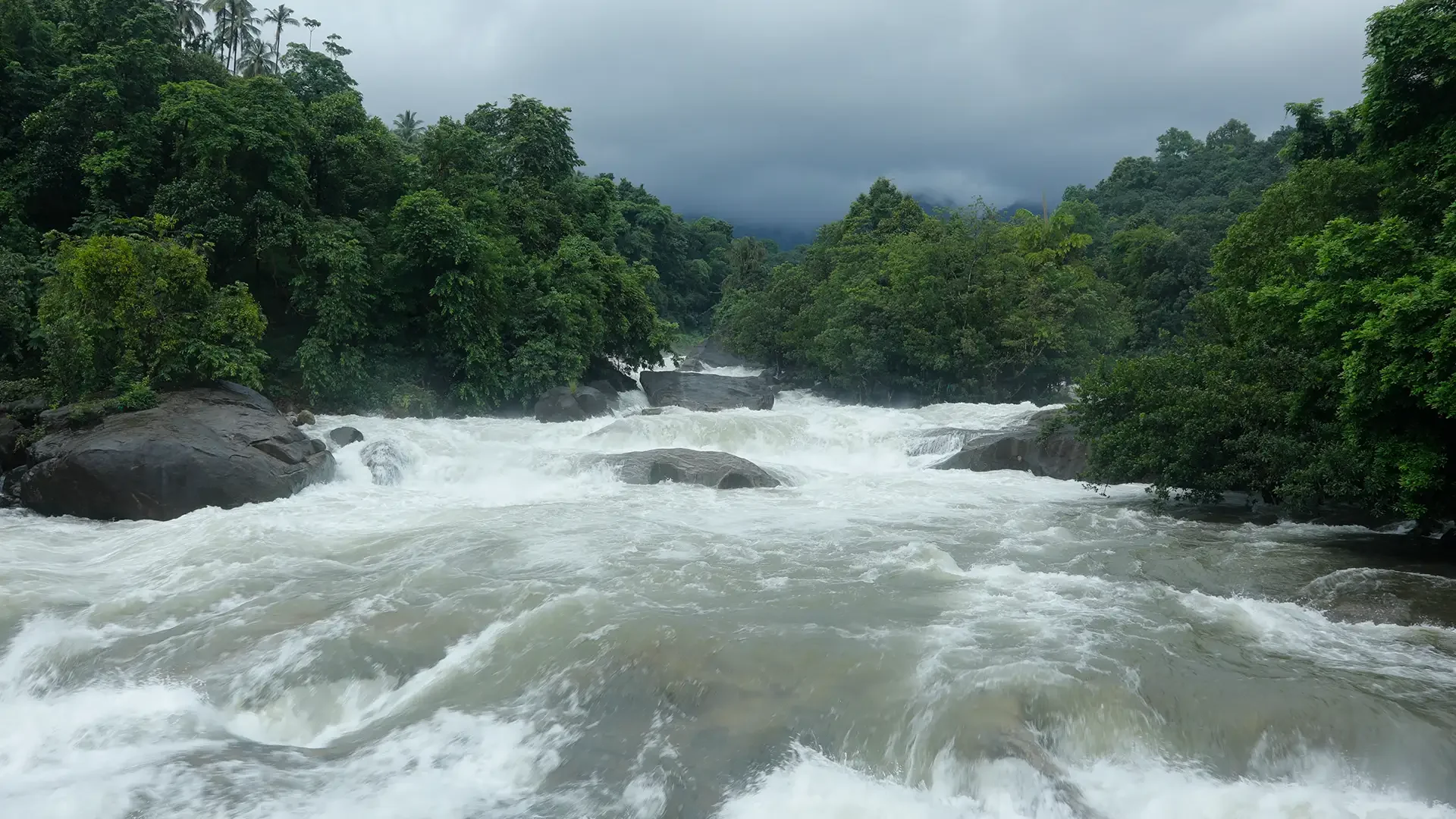
The surrounding rivers have also hosted organised white-water competition. Kerala Tourism's 2019 statistics record the Malabar River Festival on the Chalipuzha and Iruvanjipuzha, with international competitors and a defined event organisation. That history explains the kayaking references encountered around Thusharagiri. It does not make a waterfall ticket a water-sports booking. A championship course, its safety arrangements and its spectators' areas belong to an organised event; an ordinary waterfall visit follows the ecotourism centre's own access conditions.
The contrast is instructive when looking at moving water. A trained competitor reads a river in relation to a planned line, equipment and an organised team. A walker arriving from the forest path is there to observe from the admitted ground. The same white water can be the subject of both visits, but the visitor's position and activity are different. If the river festival is the reason for travelling, use its announced venue and programme instead of assuming that the cascade's viewing area is the competition's reporting point.
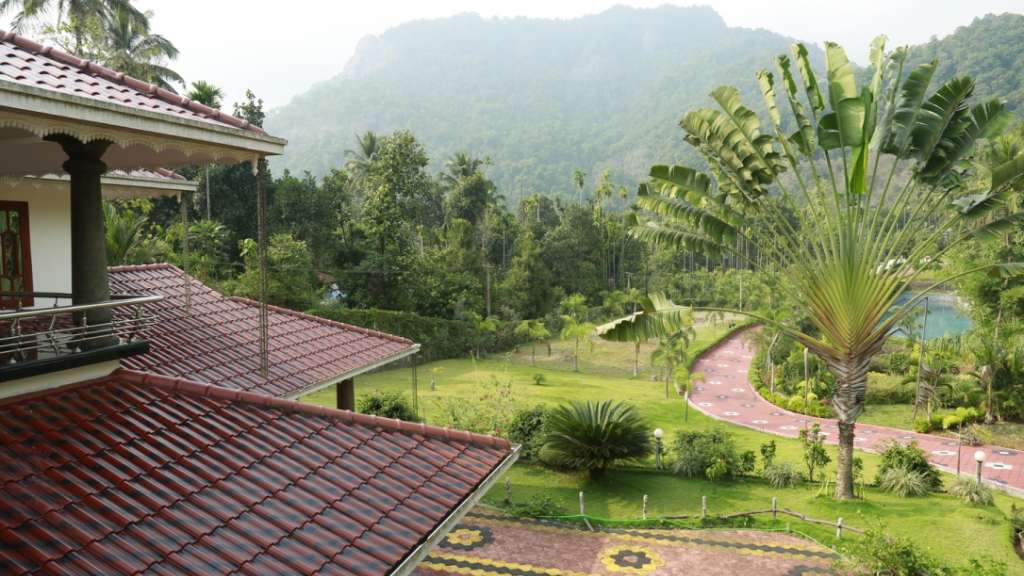
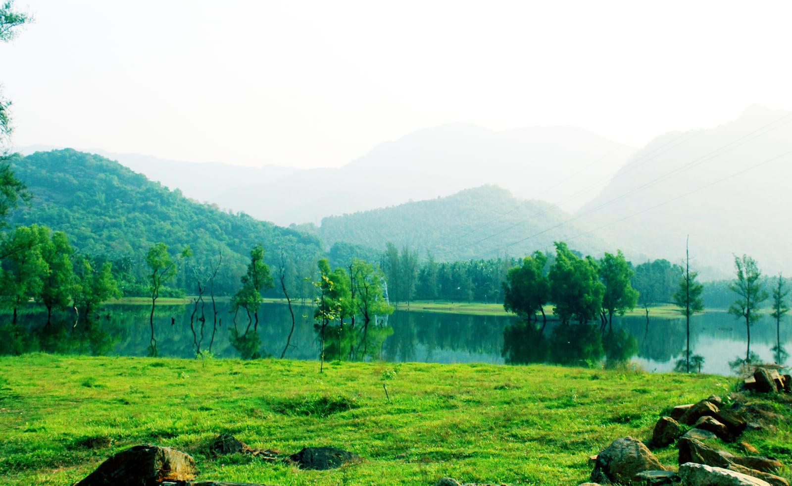
Outside the forest entrance, Kerala Tourism's Malabar account describes a cultivated landscape of rubber, arecanut and spices around Thusharagiri. That agricultural setting helps explain the transition along the approach: the destination is reached through lived-in highland country before the trail enters denser woodland. Look at the change in planting pattern from the road, with the vehicle stopped only in an accepted place. Farm tracks and planted slopes remain working land, so the forest walk should begin through the visitor entrance rather than through an appealing gap between cultivated trees.
For a day built around the longer Thenpara programme, keep the interior walk as the main outing. The operator's description allocates an outward journey, time at the destination and a return over the same ground. That structure leaves a clear distinction between travel to Thusharagiri and the guided forest day itself. A brief bridge-side view or town stop belongs around that programme; an additional distant attraction should not compress the time reserved for returning through the forest with the group.