Thusharagiri Waterfalls trek

Thusharagiri is a Forest Department waterfall and trekking centre near Kodencherry, on the eastern side of Kozhikode district. The name belongs to a cluster of cascades and wooded trails, rather than one roadside waterfall. This guide focuses on choosing a walk: the lower waterfall visit, the longer Thumbithullumpara trail and the separately described Thenpara interior-forest programme have different commitments.

Thusharagiri Waterfalls trek, Thusharagiri, Kodencherry
Practical guide

Plan Thusharagiri Waterfalls trek

Who's going?Tailor Thusharagiri Waterfalls trek to your trip
Typetrek
AreaThusharagiri, Kodencherry
DistrictKozhikode
Best timeChoose a day without heavy rain or an…
Time neededThe Forest Department labels the…
Places to visit4Listed businesses9

A ticket for the waterfall does not establish permission to continue through the forest to Wayanad. Begin at the ecotourism counter, establish the route operating that day and return by the authorised path. The climbs, exposed roots and wet rock make the longer walks a different proposition from looking at a cascade near the entrance.

The story

At Thusharagiri the sound of falling water comes through a close screen of leaves. The walking landscape changes from a managed entrance to roots, rock and forest shade, with each opening in the vegetation revealing a different part of the stream.

The story of Thusharagiri Waterfalls trek

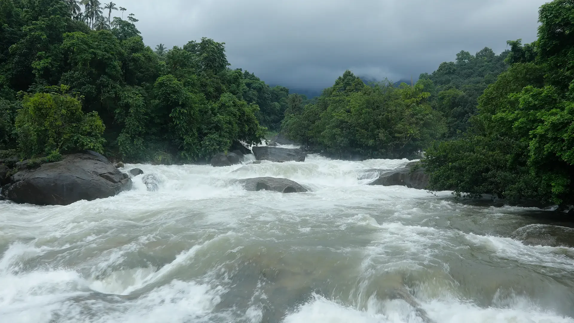
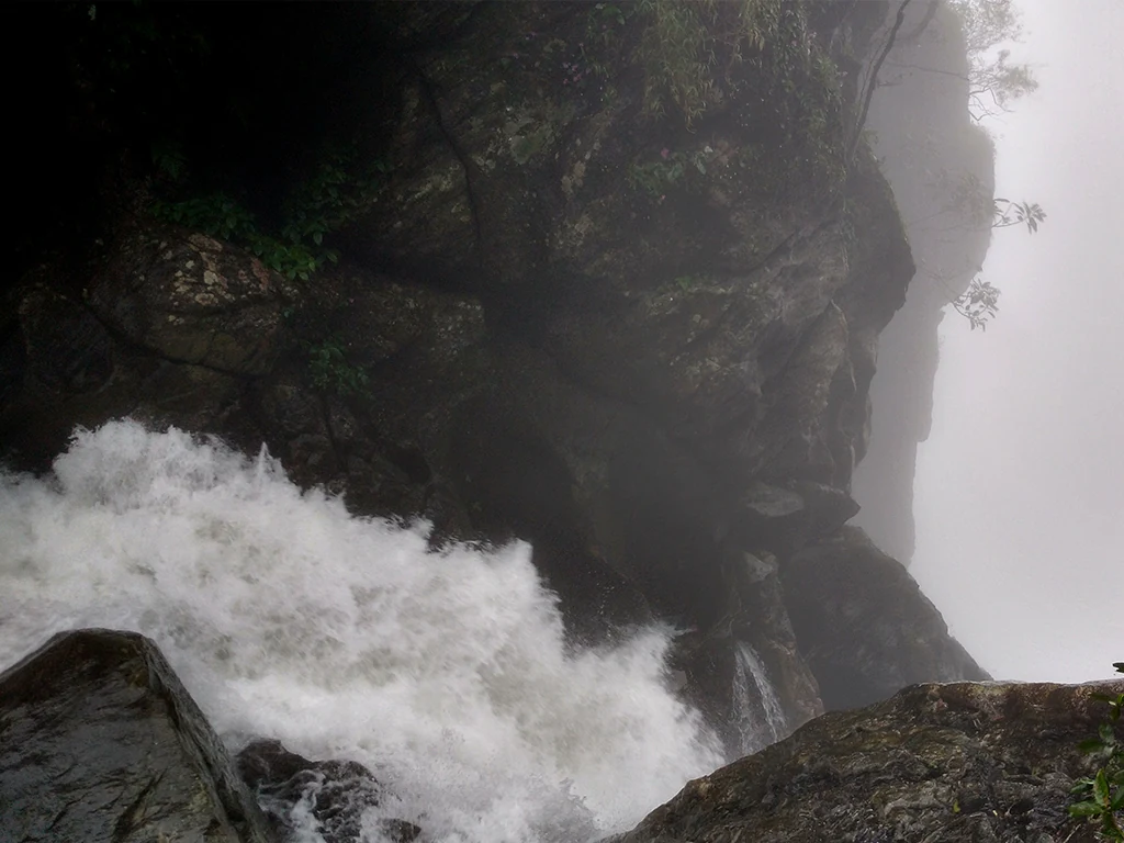
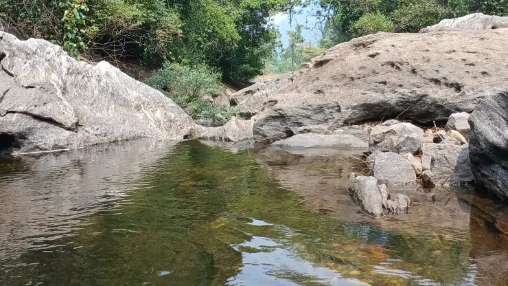
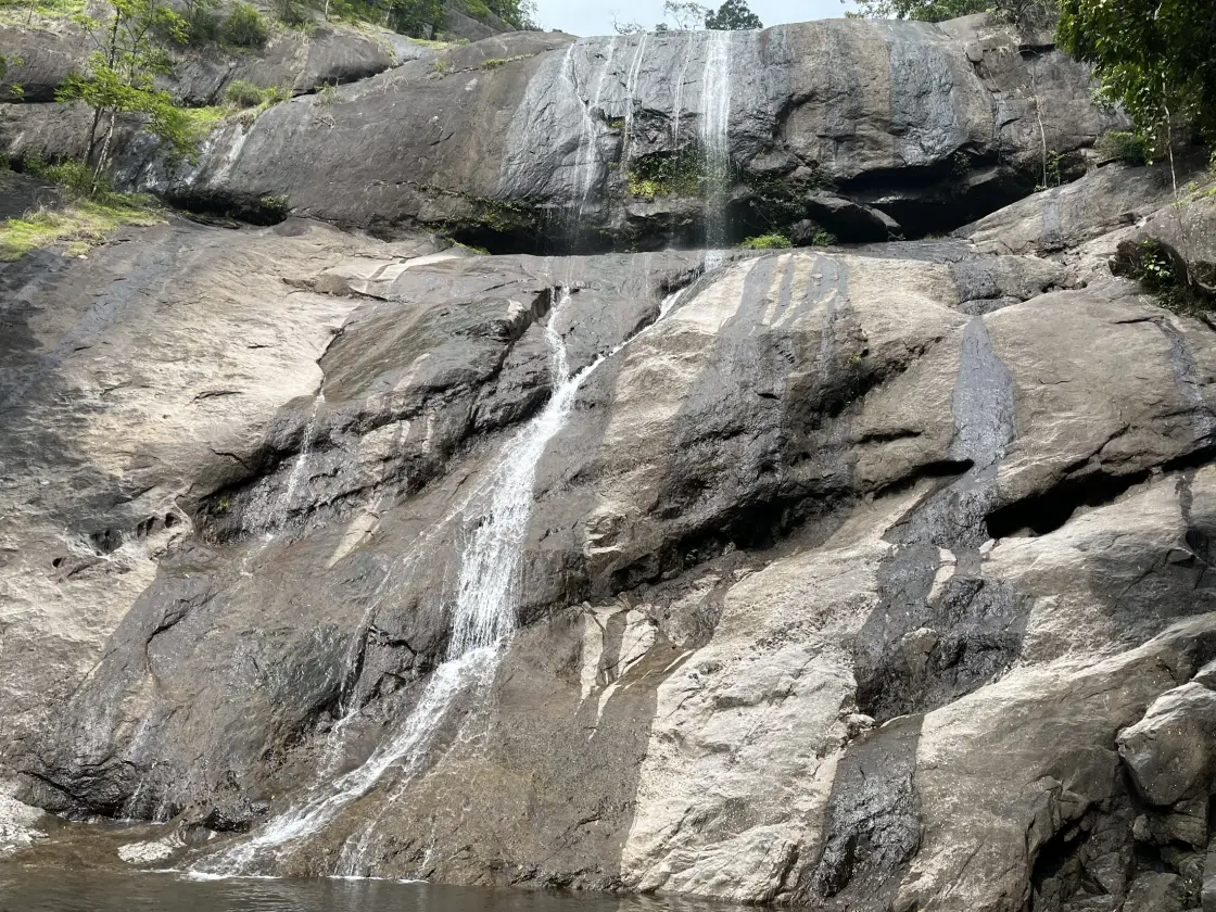
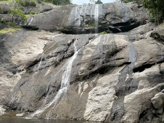
The waterfalls are best understood as a sequence of changes in level. A broad slab may carry only a narrow white ribbon in a lower-flow photograph, while a recess beneath an overhang remains dark. Further down, the water finds a groove between rounded rock surfaces. The route is interesting because these forms can be read together, rather than because every stop produces the same full-height waterfall portrait.

Kerala Tourism associates three principal names with the site: Erattumukku, Mazhavil Chattom and Thumbithullumpara. The names help distinguish stages of the waterfall landscape, but the distance printed on an old sign is not a substitute for the route currently offered. The Forest Department now gives the Thumbithullumpara programme its own entry, separate from the ordinary waterfall ticket.

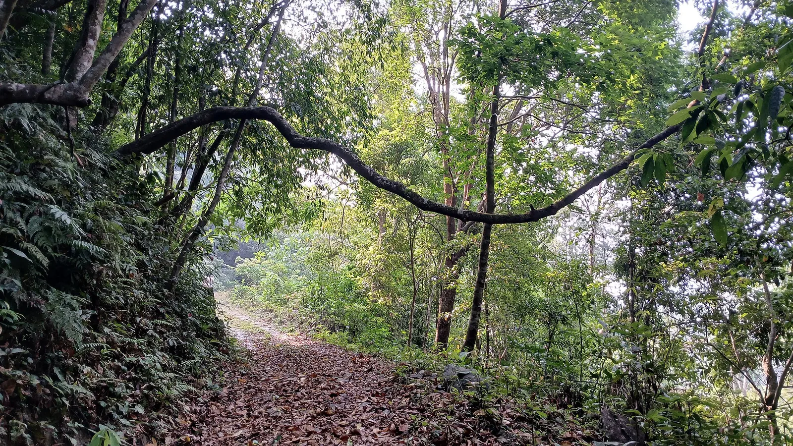
The trail surface provides a more useful measure of effort than a short kilometre figure. Photographs show exposed roots crossing bare earth and large stones, with the forest closing around the path. Progress on this kind of ground involves placing each step and negotiating uneven changes of level. A three-hour programme can therefore be appropriate even when its advertised distance looks modest.

The woodland also changes the experience of looking. Close to the stream, leaves and trunks interrupt a clear line of sight; the gorge is revealed in fragments. Look first at the near ground, then at the opposite slope, and finally at the opening above. This makes the walk more than a succession of photo stops and keeps attention on the actual path rather than a distant patch of white water.

Thanni Muthashi offers a different scale of observation. The hollow tree near the visitor area is photographed from within its rough-walled opening, with daylight showing through gaps above. Its interest is the contrast between the outer trunk and the space inside it. The presence of a cavity does not establish the tree’s age, and repeated claims about how many people fit inside should not determine how visitors approach it.

Thenpara belongs to another level of commitment. The Kozhikode Division describes an interior route through Thonikkayam and the Jeerakappara forest area, with an outward walk, a rest at the destination and a return along the same route. This is a managed forest excursion with a briefing and approval process. It should be chosen for its woodland journey, rather than appended impulsively after reaching a waterfall.

The surroundings also explain why an older tourism reference to trekking towards Vythiri needs care. A landscape can contain historical walking connections without every connection operating as a present-day visitor programme. The useful decision at Thusharagiri is the named route being conducted by the forest centre, with an identified endpoint and return arrangement.

For a mixed group, the lower visit can be a complete outing in its own right. There is no requirement to reach the highest cascade to understand the place. A shorter authorised walk that includes a view of the water, a look at the tree and time under the canopy may serve someone’s interests better than a hurried climb whose return becomes difficult.

Mazhavil Chattom introduces a feature that depends on the visitor’s position as well as the water. Kerala Tourism explains its ‘Rainbow Falls’ name through sunlight scattered by the spray. A rainbow is therefore a possible moment within the gorge, not a permanent coloured stripe on the rock. Shade, cloud, the angle of the sun and the amount of spray all affect what is visible. Waiting at an admitted viewpoint can reveal changing light without needing to move onto the slippery surface for a closer frame.

The spaces between cascades matter as much as the drops themselves. In the tourism account, the walk continues uphill after Erattumukku rather than ending at one viewing platform. That change from looking across water to climbing through woodland is the defining rhythm of Thusharagiri. Someone interested mainly in the first waterfall can stop with a coherent visit; someone choosing a longer programme takes on the intervening ground as well as the next named destination. The names describe a sequence, not three independent road stops.

At the hollow tree, the name Thanni Muthassi carries a familial meaning: Grandmother Thanni. Kerala Tourism identifies it as a Thanni or bedda-nut tree and records a belief that it is about four centuries old. The age belongs to the local account rather than a dated planting register. The tree’s visible form is interesting without converting that belief into a measurement: the substantial outer trunk, irregular interior walls and openings above make a living structure that cannot be understood from a distant silhouette alone.

Thusharagiri's road bridge belongs to the river setting before the forest walk begins. Kerala Tourism places the arch bridge across Chalippuzha near the waterfalls. A road crossing gives a broad sense of the valley, while the admitted waterfall route brings the visitor closer to the broken rock and wooded slopes. Keep those two forms of access distinct: a bridge used by traffic is an arrival landmark, and the forest counter determines the walking route beyond it. There is no need to stop on the carriageway to make the bridge part of the day's understanding.

The surrounding rivers have also hosted organised white-water competition. Kerala Tourism's 2019 statistics record the Malabar River Festival on the Chalipuzha and Iruvanjipuzha, with international competitors and a defined event organisation. That history explains the kayaking references encountered around Thusharagiri. It does not make a waterfall ticket a water-sports booking. A championship course, its safety arrangements and its spectators' areas belong to an organised event; an ordinary waterfall visit follows the ecotourism centre's own access conditions.

The contrast is instructive when looking at moving water. A trained competitor reads a river in relation to a planned line, equipment and an organised team. A walker arriving from the forest path is there to observe from the admitted ground. The same white water can be the subject of both visits, but the visitor's position and activity are different. If the river festival is the reason for travelling, use its announced venue and programme instead of assuming that the cascade's viewing area is the competition's reporting point.

Outside the forest entrance, Kerala Tourism's Malabar account describes a cultivated landscape of rubber, arecanut and spices around Thusharagiri. That agricultural setting helps explain the transition along the approach: the destination is reached through lived-in highland country before the trail enters denser woodland. Look at the change in planting pattern from the road, with the vehicle stopped only in an accepted place. Farm tracks and planted slopes remain working land, so the forest walk should begin through the visitor entrance rather than through an appealing gap between cultivated trees.

For a day built around the longer Thenpara programme, keep the interior walk as the main outing. The operator's description allocates an outward journey, time at the destination and a return over the same ground. That structure leaves a clear distinction between travel to Thusharagiri and the guided forest day itself. A brief bridge-side view or town stop belongs around that programme; an additional distant attraction should not compress the time reserved for returning through the forest with the group.
Read the full history of Thusharagiri Waterfalls trek 223 more words

History

Thusharagiri’s visitor identity has developed around Forest Department ecotourism. Archival photographs from 2011 show a departmental entrance arch and boards naming waterfall stops, trekking routes and visitor rules. They establish the long-standing managed character of the destination, but do not prove that the same structures, prices or services remain in use.

The current Forest Department programme catalogue distinguishes waterfall admission from the Thumbithullumpara walk. The Kozhikode Division’s own site separately describes Thenpara interior-forest trekking. Read together, these records show why a single generic “Thusharagiri trek” description can conceal very different days.

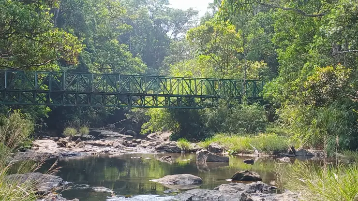
The waterfall sequence was described in Kerala Tourism’s October 2016 newsletter as a walk from Erattumukku towards Mazhavil Chattom and Thumbithullumpara. That account placed a hanging bridge on the approach to the first waterfall. It is a useful record of how the site was presented to visitors, while the Forest Department’s current programme determines which parts of that landscape can be reached today.

Why visit

Choose a Forest Department walk with a defined return, rather than trying to assemble an unmarked hill route.

Observe how the same stream changes from a sheet over rock to a narrow channel within a wooded gorge.

See the actual terrain behind the word “trek”: roots, uneven stone, shade and repeated changes of level.

Combine close observation of a hollow tree with a wider view of the surrounding forest.

What to expect

Highlights

  • The contrast between a broad exposed rock face, narrow channels and the wooded gorge around the cascades.
  • A choice of waterfall viewing and a longer forest trail, with the precise route settled at the Forest Department counter.
  • Thanni Muthashi, the hollow tree associated with the lower visitor area, and the dense woodland that continues beyond it.
Getting there

How to visit

  • Arrive at Thusharagiri Ecotourism near Kodencherry. Give a driver the ecotourism entrance, not a marker for an upper cascade or the Vellarimala range.
  • Decide whether everyone in the party wants waterfall viewing or a sustained climb. The current Forest Department catalogue separately lists Thusharagiri Waterfall and a Thumbithullumpara programme described as 2 km and three hours.
  • For the Thenpara interior-forest route, use the Kozhikode Division programme instructions and obtain a confirmed approval. Its description specifies a return to the same counter; it is not a through-hike to Vythiri.
  • Accept a shorter route when rain, stream conditions or staff instructions restrict access. Do not pass a closure simply because the lower waterfall remains open.
  • For a family group, compare the participation conditions before choosing Thenpara. The operator restricts that interior trek to people over 15 and publishes additional exclusions for disability and physical difficulties. These are the programme’s own conditions, not a description of every person’s ability or of the lower waterfall visit. Ask about a suitable lower visit separately when the interior programme cannot accommodate someone.
  • For a small party, settle how the group will be formed before fixing transport. The Thumbithullumpara catalogue gives a group range of three to seven, while the Thenpara operator describes three to eight with experienced guides. Do not assume that a solo arrival will automatically join an organised departure, or that the same group limit applies to both routes.

Distance by road

  • Coimbatore180 km
  • Kochi182 km
  • Mysuru209 km
  • Mangaluru233 km
  • Bengaluru349 km

Road km to Kozhikode; ghat roads and traffic vary — allow extra.

Timing

Best time

Choose a day without heavy rain or an active local restriction, and begin a longer walk early enough for the full return. The Forest Department specifically warns of monsoon restrictions on the Thumbithullumpara programme. A fuller waterfall and an easier walking surface rarely arrive together: lower-flow periods expose more rock, while wet conditions can reduce the permitted route.

Weather in Thusharagiri Waterfalls trekSeasonal guide

Live forecast loads in your browser.

Today at Thusharagiri Waterfalls trek
Sunrise6:15 am
Sunset6:10 pm
Golden hour best light5:10 pm–6:10 pm
Blue hour after sunset6:10 pm–6:35 pm
Sun sets toward compass bearingW · 263°
Moon tonight🌑 New moon · 0%
Retreating monsoon. October and November still see spells of rain from the retreating monsoon, though it is usually lighter than mid-year. Conditions are generally good but worth checking.

Sun and moon are calculated for this location and shown in IST. Photography windows are the hour around sunrise and sunset; the sunset bearing is degrees clockwise from true north. Moon phase is accurate to about half a day.

Visitor notes

  • Erattumukku, Mazhavil Chattom and Thumbithullumpara are names associated with the waterfall sequence. Spelling varies between tourism descriptions, signs and the booking catalogue.
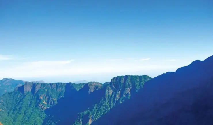
  • The forest centre is approached from Kozhikode district. Thusharagiri is not the same trailhead as Muthappanpuzha for Vellarimala, even though both belong to the wider eastern-Kozhikode hill landscape.
  • Published programme descriptions do not reserve a place on their own. For the Thenpara booking system, a waiting-for-approval status is explicitly different from a confirmed booking.
  • A Thenpara day starts with instructions at the ticket counter. The operator describes three hours outward, an hour at the destination and three hours back, beginning at 8:30 am. That structure leaves little room for an unrelated long sightseeing stop in the middle of the day. Keep the pickup at the starting centre, and tell the driver which programme you have actually booked.
  • The operator reserves the right to cancel the interior trek or turn a group back because of adverse weather or other conditions. A confirmed booking establishes permission for the programme; it does not remove the guide’s authority to shorten it. Discuss any onward train or flight before choosing a forest day whose return may depend on conditions.
Safety

Good to know

  • Stay off waterfall lips and sloping stream-polished rock. A camera position in an old photograph is not evidence of a permitted viewing point.
  • Keep the party together on the authorised path, especially where roots and boulders interrupt the walking surface. The return requires the same attention as the ascent.
  • Do not turn a waterfall ticket into a swimming plan or an unaccompanied extension into the interior forest. Follow the route limits set at the counter.
Official eco & forest programmes

Experiences around Thusharagiri Waterfalls trek

These are official or public-sector eco offerings that match this place, town or forest destination. Confirm availability, permits, tariffs and reporting times with the official operator before travel.

Thusharagiri Waterfalls, Thusharagiri Waterfalls trek
waterfalltrekwildlife

Thusharagiri waterfalls and trek

Foothill waterfall and trekking destination east of Kozhikode, listed in Kerala Tourism’s ecotourism inventory.

Kerala Forest Department / local tourism authorities
Official source →
Vellarimala, Thusharagiri Waterfalls trek
trekcampingwildlife

Vellarimala trek

Western Ghats trek landscape linked with the Thusharagiri/Vellarimala side of Kozhikode; access depends on forest permissions.

Kerala Forest Department
Official source →
Stay · eat · do · rent · see · shop

Stays, food & things to do near Thusharagiri Waterfalls trek

Browse listed stays, food, activities, sights, shops and rentals around Thusharagiri Waterfalls trek. Check each listing’s locality and contact the business directly for current arrangements.

6 places to stay near Thusharagiri Waterfalls trek

Hotel · Thusharagiri
Koodathai Homestay

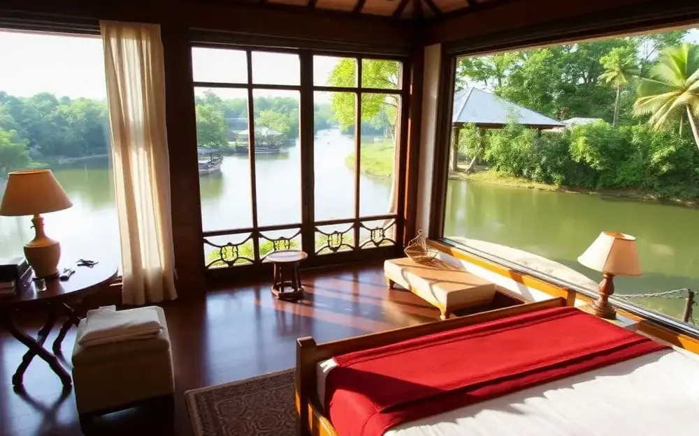
Three-bedroom riverside retreat with river access for bathing and campfires. Sits ten minutes from Thamarassery town, gateway to Thusharagiri waterfalls.

Directions Commission-freeView details
Hotel · Thusharagiri
River Valley Resort

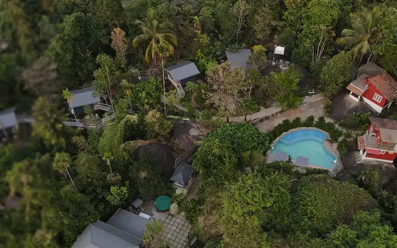
Individual cottages with private decks perched in tropical Western Ghats rainforest. Set on the Iruvanjipuzha river near Thusharagiri and Vellarimala.

Directions Commission-freeView details
Hotel · Thusharagiri
Karimb Resorts

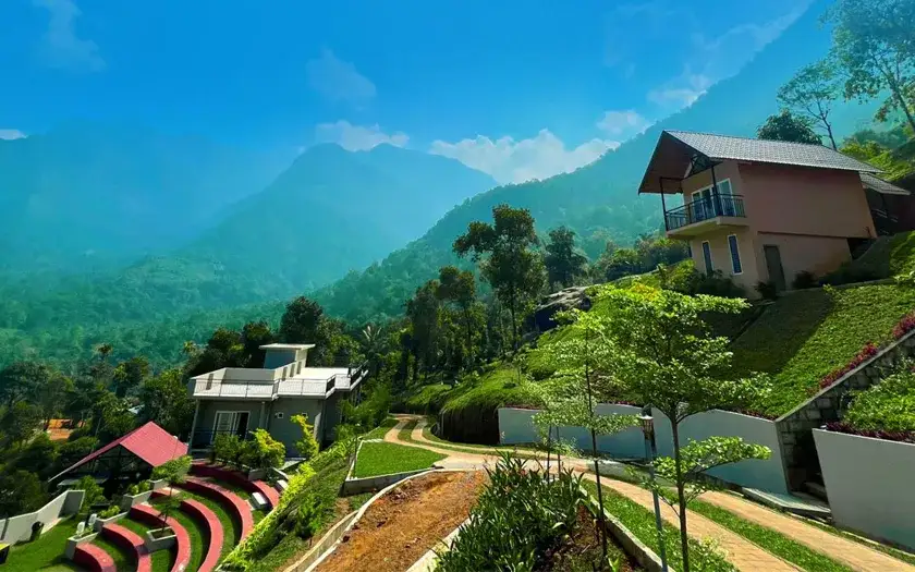
Hilltop cottages with an infinity pool and 320-degree valley views in the Western Ghats. Set below the Vellarimala hills in the Thamarassery ghat foothills.

Directions Commission-freeView details
Kerala Tourism-listed resort · Thusharagiri
Rain Country Resorts Thusharagiri

Kerala Tourism-listed resort near Thusharagiri for waterfall and forest-edge stays. Rain, Kerala Tourism-listed resort.

Directions Commission-freeView details
Homestay · Thusharagiri
Golden Glades Anakkampoyil

Kerala Tourism-listed homestay at Anakkampoyil near Thusharagiri. Golden Glades, Anakkampoyil, Thusharagiri stay.

Directions Commission-freeView details
Local homestay directory support · Thusharagiri
Thusharagiri Homestays Booking Helpline

Local Thusharagiri homestay and resort directory helpline for travellers comparing waterfall-side stays.

Directions Commission-freeView details

Book with the place itself. India’s cyber-crime coordination centre warned in April 2025 that convincing copies of hotel and pilgrimage booking sites are being pushed through sponsored search and social ads, taking payment for rooms the property never hears about. Use the contact and source details on each profile to confirm the exact business and booking channel. A directory entry or map pin alone does not establish an operator’s identity or current availability. Roampedia takes no commission and does not collect booking payments. If a booking page reached you through an ad, check the address bar against the property’s own site before you pay. Fraud can be reported on cybercrime.gov.in or on 1930.

Options

More ways to explore Thusharagiri

Use Kodencherry for the final local approach. Kozhikode is the rail and city base; Muthappanpuzha and Vythiri are different addresses rather than alternative names for this entrance.

Across the whole of Thusharagiri

Nearby guides

Top experiences around Thusharagiri Waterfalls trek

4 separate places to consider after Thusharagiri Waterfalls trek. Open each guide before deciding: their access, hours and return arrangements are independent.

waterfallArippara Waterfalls

Arippara is a sequence of rocky cascades on the Iruvanjippuzha near the Thiruvambady–Anakkampoyil route, with a visitor approach beside a hanging bridge; it is separate from Thusharagiri.

trekVellarimala trek

Vellarimala is the mountain range above Muthappanpuzha, extending across Kozhikode and Wayanad. The arrival pin identifies Muthappanpuzha village, not the summit or an authorised trail entrance.

wildlifeMalabar Wildlife Sanctuary

Kozhikode’s last evergreen forest block, notified in 2009 under section 18(1) as a declaration of intention and never finally declared — there is no gate, no permit and no wildlife programme, and you cannot go in.

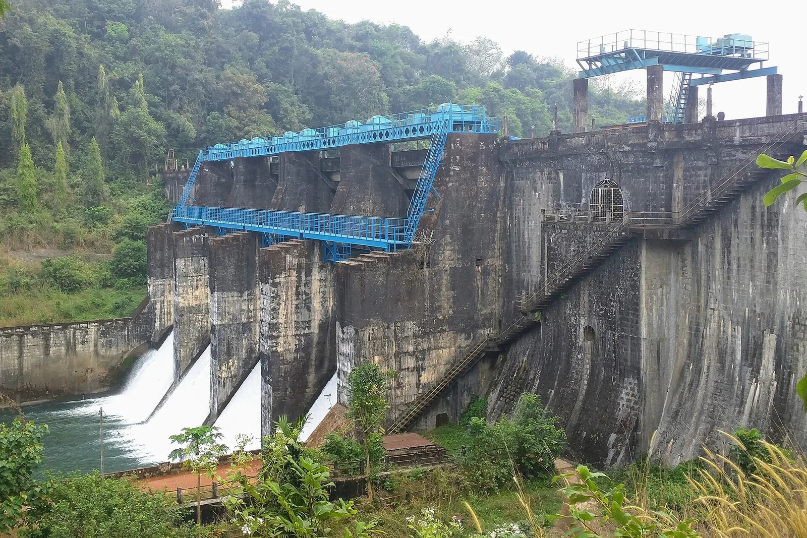
damKakkayam Dam

Reservoir and forested day-trip area in the Western Ghats foothills.

Roampedia is commission-free — own or know a stay, eatery, guide or shop near Thusharagiri Waterfalls trek? Submit public business details for review.

Add a nearby business
Trek facts

Thusharagiri Waterfalls trek — at a glance

TimingsThe Forest Department lists waterfall admission from 8:30 am to 5 pm. Longer guided routes have their own reporting and return arrangements; the gate’s closing time is not a late-afternoon trekking start.

Entry: The Forest Department lists waterfall entry at ₹50 for an Indian adult, ₹25 for an Indian child below 15, and ₹125 for a foreign visitor. Trekking is a separate programme: choose the named route and obtain its applicable total from the counter or confirmed booking.

Photography: Use the permitted path and viewpoints. A wide frame can show the waterfall’s rock setting; close photographs of roots or the hollow tree can explain the walk without requiring a position in the stream.

Parking: Report at the visitor entrance for the space currently accepted for vehicles. Keep the approach and turning area clear; the bridge deck and the upper forest trail are not substitutes for a parking place.

Getting here

How to reach Thusharagiri Waterfalls trek

  • ✈︎ By air Calicut International Airport is the practical air gateway named in tourism material. Continue by road through the Kozhikode district approach to Kodencherry and the forest centre.
  • 🚆︎ By train Kozhikode railway station is the rail gateway identified in official tourism material. The remaining journey is by road into eastern Kozhikode district; there is no railway arrival at the waterfall. Choose the train around the road transfer and the full programme, rather than treating arrival in Kozhikode as arrival at the trail. If staying in the hills, retain the exact address of the accommodation: Kodencherry, Muthappanpuzha and a property marketed with a broad Wayanad label can require different final journeys.
  • 🚗︎ By road Approach through Kodencherry towards Thusharagiri Ecotourism. The mapped Kappad–Thusharagiri–Adivaram road belongs to the local approach; continue to the forest visitor entrance rather than stopping at a general village marker.
  • 🚌︎ By bus Use a service serving Kodencherry or the Thusharagiri approach, then establish the final stopping point and return service with the operator. A bus passing the wider hill road is not necessarily a service to the ecotourism counter.
Getting back

Arrange the return from the same ecotourism entrance. The described Thenpara programme retraces its outward path, and a late return should not depend on an assumed bus waiting beside the waterfall.

Do

Things to do

  • Compare the named waterfall stages on the route actually open that day.
  • Look at the exposed roots and stone surfaces that shape the climb.
  • Observe Thanni Muthashi from the permitted visitor side.
  • Choose the approved Thenpara forest programme separately if the longer interior journey is the purpose of the day.
Facilities

On site

  • The Forest Department entrance is the place to settle the route, briefing and ticket category. Treat a general online destination description as information rather than a confirmed guided booking.
  • Older departmental signs show visitor toilets and rest areas, but their present availability is not established by those photographs. Make any essential toilet requirement part of the arrival discussion before entering the longer forest route.
Getting around Thusharagiri Waterfalls trek
From the entrance
Thusharagiri road turn-in beside Chalippuzha crossing
Step-free access
Upper routes include uneven earth, large exposed roots, boulders and climbing. A continuous step-free upper-waterfall route is not established. Ask about the lower permitted view before committing to a longer programme; the Thenpara operator publishes additional participant restrictions.

Checked 7 September 2026 against source 1source 2. Conditions change and surfaces vary with weather — if step-free access is essential, confirm with the site before you travel.

Eat nearby

What to eat in Thusharagiri

Keep a full meal attached to Kodencherry or the wider road itinerary. A longer forest programme needs its own confirmed meal arrangement, rather than an assumption that a café will appear at an upper waterfall.

Explore food in Thusharagiri →
01

Kodencherry meal

Use a town restaurant before or after the forest visit, allowing the programme’s full return time.

02

Tea on the approach

A town tea shop fits the road journey without delaying a counter reporting time.

03

Food for the guided day

For Thenpara, establish what the approved programme provides or permits before departure; do not carry a picnic plan into the forest independently.

Nearby

What’s near Thusharagiri Waterfalls trek

waterfallArippara Waterfalls

Arippara is a sequence of rocky cascades on the Iruvanjippuzha near the Thiruvambady–Anakkampoyil route, with a visitor approach beside a hanging bridge; it is separate from Thusharagiri.

trekVellarimala trek

Vellarimala is the mountain range above Muthappanpuzha, extending across Kozhikode and Wayanad. The arrival pin identifies Muthappanpuzha village, not the summit or an authorised trail entrance.

wildlifeMalabar Wildlife Sanctuary

Kozhikode’s last evergreen forest block, notified in 2009 under section 18(1) as a declaration of intention and never finally declared — there is no gate, no permit and no wildlife programme, and you cannot go in.

damKakkayam Dam

Reservoir and forested day-trip area in the Western Ghats foothills.

activityKariyathumpara

A ticketed riverside bathing and picnic centre on Irrigation Department land where the Kuttiyadi runs over a bedrock sheet into the head of the Peruvannamuzhi backwater — at 57 m, with no drop and no forest permit, but a serious drowning history.

trekKakkayam trek

The managed forest outing towards Urakkuzhi Falls above Kakkayam, distinct from reservoir boating. Confirm the admitted route with the forest counter: recent reports describe restrictions at the waterfall viewpoint and Shankaranpuzha.

damPeruvannamuzhi Dam

Irrigation reservoir and boating spot in the Kozhikode high ranges, with a 1977 government crocodile breeding centre on the shore.

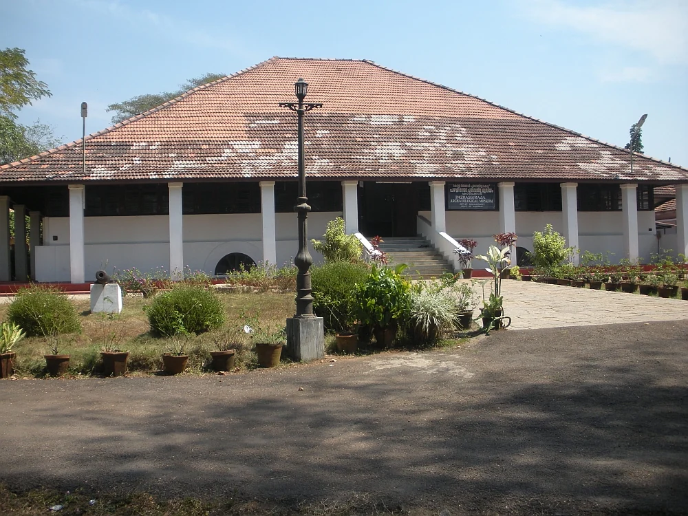
museumPazhassi Raja Museum

State archaeology museum at East Hill in an 1812 bungalow, with murals, bronzes, coins and megalithic monuments.

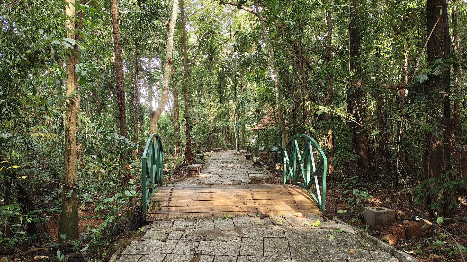
wildlifeSarovaram Bio Park

A 98-acre public eco-park on the Conolly Canal in central Kozhikode, the developed part of the Kottooli wetland — mature urban woodland and mangrove-fringed water, mid-renovation and partly not operating.

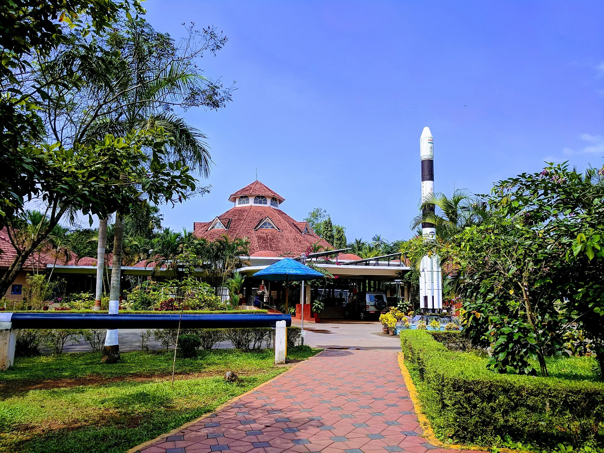
museumRegional Science Centre and Planetarium

A National Council of Science Museums centre in central Kozhikode — five galleries, a 3D theatre and an outdoor science park. ⚠ Its planetarium has been closed for a projector replacement since 13 July 2026 with no announced reopening date.

beachKappad Beach

Historic beach associated with Vasco da Gama’s arrival on the Malabar coast.

templeThali Temple

One of Kozhikode’s oldest temples, a laterite-and-timber Shiva shrine near Mananchira long patronised by the Zamorins.

4 detailed place guides in Thusharagiri →

On the map

Where Thusharagiri Waterfalls trek is

Good to know

Thusharagiri Waterfalls trek — frequently asked

Is the Thusharagiri waterfall ticket the same as a trekking booking?

No. The Forest Department lists waterfall admission separately from the Thumbithullumpara programme. Thenpara is described through a separate approval process by the Kozhikode Division. Choose the named activity you intend to do.

How long is the Thumbithullumpara trek?

The current Forest Department catalogue describes it as 2 km and three hours. Confirm the route actually operating before starting; monsoon restrictions are specifically noted.

Can I walk from Thusharagiri to Vythiri without a guide?

Do not treat an older tourism description as permission for a through-route. The current programme chosen at the forest centre determines the permitted path and return. A waterfall entry does not authorise an independent crossing into Wayanad.

Does a pending Thenpara booking mean I can arrive for the trek?

The operator distinguishes “Waiting for approval” from “Booking Confirmed”. A confirmed applicant can print the booking document and submit the payment evidence requested by the system. Bring the identification required by the programme.

Are Thusharagiri and Vellarimala the same trek?

They are separate. Thusharagiri begins at its ecotourism centre near Kodencherry; the Vellarimala mountain route is associated with Muthappanpuzha. Do not use one place’s permission, ticket or map marker for the other.

Can someone who avoids steep or uneven paths visit Thusharagiri?

Discuss the lower permitted viewing area at the entrance before buying a longer activity. The photographed trekking terrain includes exposed roots and boulders, and a continuous step-free route to the upper waterfalls is not established.

Will Thusharagiri have heavy flow throughout the year?

The waterfall’s appearance changes with rainfall. Lower-flow photographs reveal broad rock faces and narrow channels; wetter conditions can bring restrictions as well as more water. Neither heavy flow nor upper-trail access is guaranteed by the season alone.

What is Thanni Muthashi at Thusharagiri?

It is the hollow tree associated with the lower visitor area. Its rough interior and openings to daylight make it visually distinctive. Follow any protection around the tree rather than entering or climbing it for a photograph.

Is the rainbow at Mazhavil Chattom always visible?

No. Its name refers to the rainbow effect described by Kerala Tourism when sunlight meets spray. The light and water conditions have to align; the name does not guarantee a rainbow during a visit.

Can a child join the Thenpara interior trek?

The operator’s published conditions admit only people over 15. This applies to the named interior-forest programme. Ask the ecotourism centre about a suitable lower-waterfall visit for a younger child rather than booking Thenpara on the assumption that every Thusharagiri activity has the same rules.

Read before you go

Thusharagiri Waterfalls trek guides, stories & itineraries

Stories & history of Thusharagiri Waterfalls trek

Written about Thusharagiri Waterfalls trek itself — its history, its legends and the arguments about them.

Around Thusharagiri

These reads cover nearby destinations, each with its own arrival point and visit arrangements.

Kerala-wide guides & itineraries

Route-level itineraries and practical guides for the rest of Kerala.

See all 87 Kozhikode guides & stories →

Image credits

Photographs: Shijan Kaakkara (CC BY-SA 4.0), Manojk (CC BY-SA 3.0), DTPC Kozhikode (Official owner source; no Creative Commons licence asserted), Nativeplants garden (CC BY-SA 4.0), Shagin sunny (CC BY-SA 4.0), Kerala Tourism (© Kerala Tourism; official source photograph), Razimantv (CC BY-SA 4.0), Pradeep717 (CC BY-SA 3.0), Ranjithsiji (CC BY-SA 4.0), Vengolis (CC BY-SA 3.0), SidhardhRamesh (CC BY-SA 4.0), Ms Sarah Welch (CC0), Shijan Kaakkara / CC BY-SA 4.0, Sajith Erattupetta / CC BY 4.0, Dvellakat / CC BY-SA 4.0, Ashok.tcr / CC BY-SA 3.0, Vinayalambadi / CC BY-SA 4.0, Kerala Forest Department, Aranyam March 2025; article by Dr Jose Mathew; photographer not individually identified. / Official owner source; no Creative Commons licence asserted, Nativeplants garden / CC BY-SA 4.0 / Wikimedia Commons, Azeezrealview / CC BY-SA 4.0 / Wikimedia Commons, Koodathai Homestay (Official source photograph; credit retained), River Valley Resort (Official source photograph; credit retained), Karimb Resorts (Official source photograph; credit retained). Wikimedia Commons.