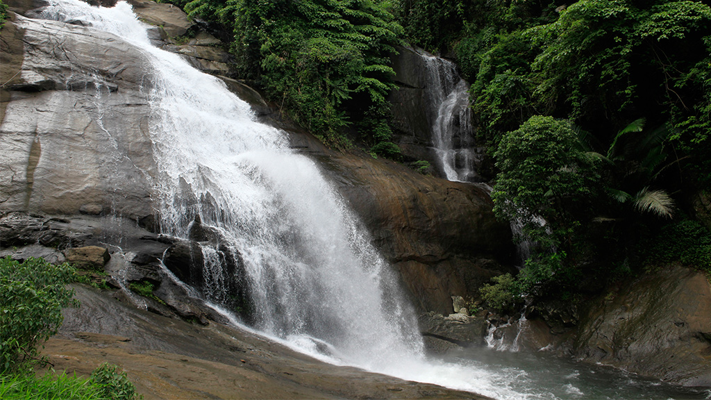
Thusharagiri is the name on the tourism boards. The name on the ration card, the bus and the village office is Kodenchery — a grama panchayat of some 18,700 people in Thamarassery taluk, about 45 kilometres east of Kozhikode, where the coastal plain runs out and the Western Ghats begin. Almost everyone who comes here comes for water, and the falls, the trail and Arippara each have their own page. This one is about the place they sit in: a village that did not exist in its present form before January 1944, built by families who walked out of a famine in Travancore and bought forest-edge land from Malabar landlords; the rubber and pepper smallholdings they planted; the churches and schools whose dates map the clearing as it moved uphill; and the older, thinner layer of settlement underneath that the guidebooks never reach.
Start with the administration, because it is the part that visitors get wrong most often. Kodanchery grama panchayat sits in Thamarassery taluk, Koduvally block, Kozhikode district, and takes in three revenue villages — Kodancheri, Koodathai and Nellipoyil — across twenty-one wards, with the PIN code 673580 and the panchayat office at roughly 11°28′19″N 75°58′08″E. The 2011 census figure in circulation is 18,738 people, 9,211 of them male and 9,527 female, against 18,461 in 2001. Those numbers reach most readers through Wikipedia rather than through a census table, and we have not checked them against one; take them as the right order of magnitude. What they do say clearly is worth noticing — a decade of growth of a few hundred people, in a place whose story is a population boom. The hills export their young now.
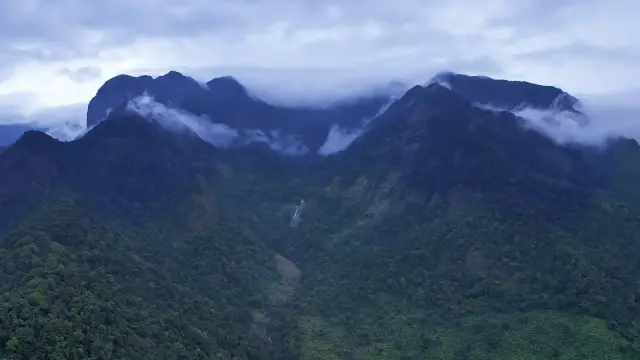
Geographically, Kodenchery is a shelf. West of it the land falls away to Mukkam, Koduvally and eventually the sea; east and above it stands the Western Ghats wall that carries the Kozhikode–Wayanad boundary. That wall is crossed north of here, not through here: the Thamarassery churam, the ghat pass on NH 766, climbs roughly fourteen kilometres and nine hairpin bends from Adivaram to Lakkidi at about 800 metres, and it is the reason Kozhikode and Wayanad are an hour and a half apart. Kodenchery is on the other road — the quieter one that runs south-east from Thamarassery into the foothills and stops when the forest starts. Visitors who plan a Wayanad crossing from here are planning a detour, not a shortcut.
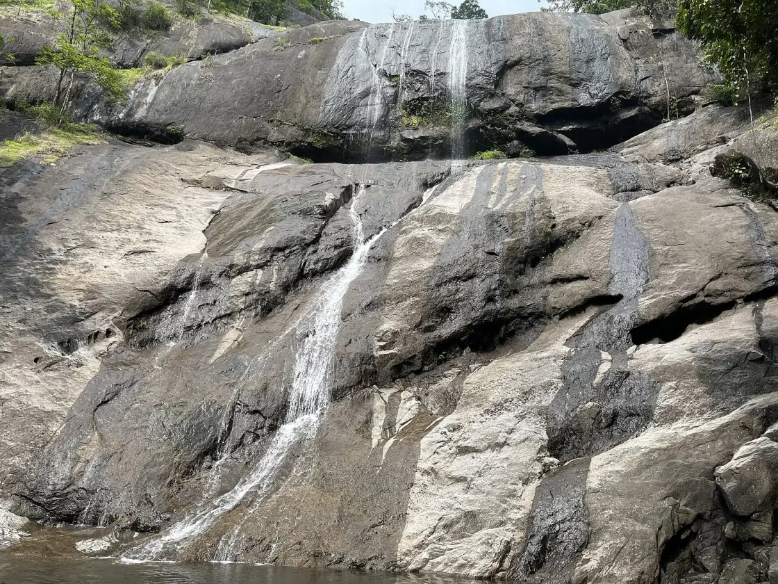
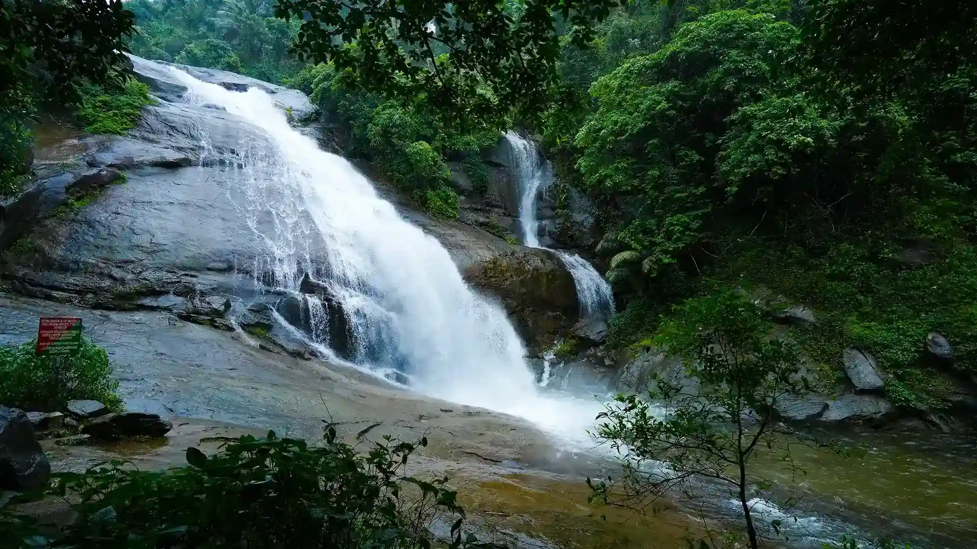
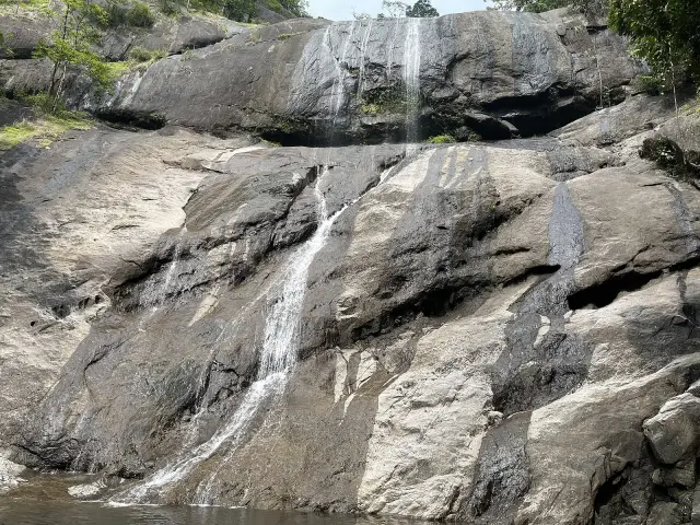
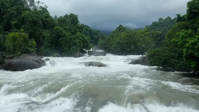
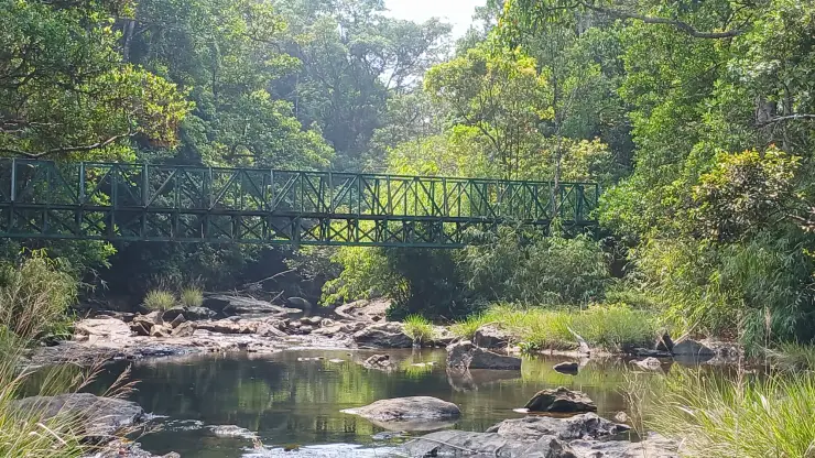
The water is the organising fact. Two hill streams meet above Chembukadavu to make the Chalippuzha, which runs down past the falls and joins the Iruvanjipuzha — also written Iruvazhinjipuzha — a few kilometres north of Thiruvambady. The Iruvanji in turn feeds the Chaliyar at Mukkam, and the Chaliyar reaches the sea at Beypore. Everything in this panchayat drains into that chain, which is why the rainfall that falls on Vellarimala is a Kozhikode problem within hours. It is also why almost every named landmark here is a river feature. The falls themselves belong to their own record; what matters at town level is that the Chalippuzha and the Iruvanjipuzha are one system, and that the villages are strung along it rather than along a road.
The economy is smallholding, not estate. Rubber first, then arecanut, pepper trained up support trees, ginger, nutmeg, cocoa and turmeric on plots measured in acres rather than hundreds of acres. This distinction is the whole point of the place and it is easy to miss from a car window: the peasant farmers who came from Travancore came as owner-cultivators, not as plantation labour, which is precisely how they differed from the tenant-and-landlord pattern that prevailed across most of Malabar. Historians of the migration make the point directly — the migrants settled as self-employed peasants, and they arrived already knowing how to grow cash crops. What you are driving through is thousands of separate family decisions, not one company’s map.
The churches are the clearest map of how the settlement spread, and the dates read almost like contour lines. St Mary’s Forane Church at Kodanchery, the mother church and a Marian pilgrimage centre, dates to 1949 — but the parish at Kannoth is older still, 1947, because that is where the first families settled before the centre moved. Then Erude in 1960, Manjuvayal in 1962, Theyyappara in 1976, Chembukadavu in 1978, Valiyakolly in 1995, Manjumala in 1998 and Koorottupara as recently as 2011. The Diocese of Thamarassery lists the forane’s Catholic population at 16,578 people in 3,653 families. Read those years in order and you are watching a clearing move uphill for sixty years.
It is not, however, a Christian-only landscape, and the shorthand that calls Kodenchery a Christian settlement flattens something. The neighbouring village of Pulloorampara — which straddles Kodenchery and Thiruvambadi panchayats — is recorded as roughly 48 per cent Christian, 28 per cent Muslim and 24 per cent Hindu, with St Joseph’s Church of 1952, the Pullurampara Mahallu Sunni Juma Masjid and a Sree Narayana Guru temple all in the same small place. Muslim traders followed the farmers into these hills and built the shops; the Hindu families of the pre-migration hamlets never left. We could not find a ward-level religious breakdown for Kodanchery panchayat itself and are not going to invent one.
Education arrived early and hard, and it is the other thing this panchayat is genuinely known for. Government College Kodanchery — the panchayat’s own history calls it an Independence Day gift to the village in 1980, while the college’s own account gives its establishment as 22 July 1980 and its formal inauguration on 24 August by the education minister Baby John — put degree-level teaching within a bus ride of hill families two generations after they arrived with nothing. St Joseph’s Higher Secondary School and St Mary’s English Medium School fill in below it. The pattern is standard across the whole migration belt: a school before a road, a high school before a hospital.
The other thing worth knowing before you come is that this is landslide country and has been for a long time. On 6 August 2012 a landslide at Pulloorampara killed eight people and displaced families, with Cherussery Hill and Kodakkatappara Hill named in the reporting. The catastrophes on the Wayanad flank of the same massif are dealt with on our Vellarimala page and we will not repeat them here, but the local reading is the same on both sides of the ridge: steep slopes, deep laterite and lateritic soil, a century of conversion to plantation, and a monsoon that increasingly arrives in single enormous days rather than steady weeks.
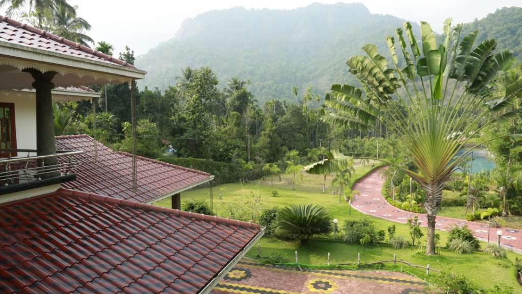
As a base, Kodenchery is honest rather than picturesque. The town is a junction of shops, banks, a bus stand and a church, with the falls road running east out of it and rubber sheets drying under polythene along the way. There is homestay and small-resort accommodation scattered through the plantations rather than a hotel strip. Almost everything a visitor does from here is a half-day: the eco-tourism gate, Arippara, the river reaches above Thiruvambady, or simply the road itself, which climbs and drops and crosses water constantly and is the best thing about the drive.
And the last thing to say about the town is the most ordinary. If you want to understand these hills in an hour, stand at the Kodenchery bus stand in the early morning and watch: schoolchildren in two directions, rubber tappers going the other way, a Kozhikode bus filling with people who will be at work on the coast by nine. This is a commuter village at the end of the road, tied to a city fifty kilometres downhill, which is exactly what its founders were trying to build and exactly what the tourism copy about untouched hills leaves out.
Legend & myth
The first thing to take apart is the affectionate nickname. Kodenchery is widely called a mini Kottayam, because so many of its families came from Kottayam district and because Syro-Malabar Catholic life here looks and sounds like central Travancore transplanted. As a description of the church calendar, the accent and the food it is fair enough. As history it flattens two things: it erases everyone who was already here, and it makes an eighty-year-old settlement sound like a colony rather than a village with its own life. Nobody in Kodenchery calls it that except when talking to outsiders.
The second is the empty-jungle story, and this is the one that matters. The standard telling has settlers hacking a home out of virgin forest that belonged to nobody. The land belonged to somebody throughout. The panchayat’s own official history is explicit that this tract, adjacent to the Western Ghats, was held by feudal families under the Zamorin’s authority, and the migration in this belt worked by purchase — Travancore agents bought large blocks from Malabar landlords and sold them on in plots to incoming families. In the neighbouring Thiruvambady area, local accounts name the Kizhakkedath Kovilakom of the Kurumbranad line as the landlord party. The forest was not free and it was not empty. Historians of the migration estimate that around forty per cent of the land the settlers came to occupy was forest land, which is a different and more complicated sentence than the pioneering one.
It is also a genuinely contested subject and we are not going to pretend otherwise. The Malayalam Wikipedia article on Kodenchery carries a passage making unsourced claims about how land here was appropriated, and it is flagged as such on the page. We make no finding on it in either direction. What can be said without argument is that a fifteen-fold rise in Malabar’s Christian population between 1931 and 1971 — from 31,191 people to 442,510 — was not a demographic accident, and that the arithmetic of who gained and who lost in the Malabar hills is still argued about in Kerala.
The third correction is one to refuse rather than to make. Search the ghat country above Kozhikode for a legend and you will be handed Karinthandan: the tribal guide who is said to have shown the British the line of the pass, was killed for it, and whose spirit is chained to a tree. It is a real and important story, it is genuinely of this mountain wall, and it does not belong to Thusharagiri. The chained tree stands at Lakkidi, at the top of the Thamarassery churam on the Wayanad side, more than thirty kilometres from the Kodenchery falls road and in a different district. Travel writing transplants it here regularly. We will not, and if you want it, go to Lakkidi and read it there.
The fourth is the pioneer romance itself, which leaves the graves out. Migration into these hills killed people in numbers. Malarial fever was the first hazard, quinine was near-impossible to obtain during the war years, and the nearest medical help was a walk of many miles; mortality among the early migrants was very high. Some households changed their diet so drastically that they developed oedema and kwashiorkor. Many failed outright and went back to Travancore. The priests who supervised the road-building and the school-founding also carried quinine in on foot, which is a more interesting fact about the church’s role here than anything in the brochures.
The fifth is the cause. It is usually given as land hunger, and land scarcity in Meenachil, Thodupuzha and Kanjirappally was certainly the long-run push. But the surge that produced Kodenchery specifically was a famine. The Japanese conquest of Burma in 1942 cut off the rice that Travancore, by then a cash-crop economy, depended on; parish records support an estimate of about 90,000 excess deaths in Travancore between 1942 and 1944, and rationing under the Diwan, C. P. Ramaswami Iyer, failed to close the gap. Tapioca was promoted as the substitute food. It is not a coincidence that the first crops the founding families planted at Kodenchery in 1944 were coffee, cassava and rice. Cassava is tapioca. They brought the famine crop up the hill with them, and within a few years Malabar was eating it too.
The sixth is a question we went looking for an answer to and did not find. We searched in Malayalam as well as English — ക്ഷേത്രം, ഐതിഹ്യം, ഉത്സവം, കാവ്, ഭഗവതി against കോടഞ്ചേരി and തുഷാരഗിരി — for a temple legend, a serpent grove or a festival story attached to this panchayat, and came up empty. That is an absence in the record, not proof of an absence on the ground, and we say so plainly. What is documented sits one level over, in the next panchayat: Thiruvambady’s name is traced locally to an old Krishna temple at Ambalappara, and its earlier name, Nayarukolli, carries a disputed etymology tied to a killing during the Malabar Rebellion — disputed even as to whether the man was shot or trampled. Its 1931 revenue population was 531, Hindu and Muslim. The pre-migration layer here is thin, real and badly recorded, and anyone with the local Malayalam sources could improve this paragraph.
Finally, the smaller confusions. This place has four spellings in current official use — Kodanchery for the panchayat, Kodencheri for the revenue village, Kodenchery on the college’s own letterhead, Kodancherry in diocesan lists — with the tourism name Thusharagiri sitting on top of all of them, which is why searches for it return so little village-level information. English Wikipedia’s article on the village describes five waterfalls in the forest here; the Forest Department, which runs the site, names three. And the same article puts the falls ten kilometres from Kodanchery town where our own measurement is about six from the town to the gate. We print both and have not resolved it.
More about Thusharagiri
History
Before 1944 this was forest and forest-edge on the inland fringe of Malabar, held by landholding families under the Zamorin’s overlordship and worked lightly — hill produce, some shifting cultivation, hamlets of a few dozen households. The trade that passed nearby went over the churam: pepper, cardamom and other hill produce coming down from Wayanad toward Beypore on the coast, on a route the East India Company had pushed through as a mule track in the first decade of the nineteenth century during the campaign against Pazhassi Raja, and which was widened for carts by the middle of that century. Kodenchery itself was off that road and off the record.
Migration from Travancore to Malabar began in the late 1920s and accelerated during the Second World War. Nine families from central Travancore reached this valley in January 1944 after advertisements for agricultural land. The panchayat history names a missionary as Monthanari Joseph; retain that spelling as the local authority gives it because no second cited source offers an alternative. Early settlers planted coffee, cassava and rice, and the first church near Kannoth later moved to the present town.
Schools came almost immediately, and the sequence is precise enough to be worth setting down. A single-teacher school opened in 1946 with ten children on the roll. The school at Velamkode received government recognition in 1949 and Kodanchery L.P. School was approved in 1950. In 1954 the first high school opened, an effort led by a priest recorded locally as Father Desitheus. In 1980 the village got a government college. Roads followed the same self-help pattern: in the early years people walked to Kozhikode for medicine and supplies, and the Kannoth–Kaithapoyil and Velamkode–Koodathai roads were built by collective community labour rather than by any department.
The wider movement Kodenchery belonged to was enormous and it is worth the scale. Colonies of Travancore peasant farmers were founded the length of the Malabar hills, from Kanhangad in the north to Thiruvambady in the south — Thiruvambady, the next panchayat over, was effectively the southern end of the belt. The Knanaya diocese of Kottayam organised the first formal colonies in 1943, at Rajapuram with seventy-two families on 2 February and at Madampam with a hundred families on 8 March, under Bishop Mar Alexander Chulaparambil; the Nair Service Society followed with a colony at Panathady. Estimates of the total scale differ sharply and we print both: one widely cited academic account gives nearly 80,000 Travancore-origin settlers in interior Malabar by 1951, while the same paper elsewhere calls the movement one of half a million people. Malabar’s recorded Christian population went from 31,191 in 1931 to 442,510 in 1971.
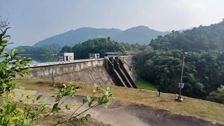
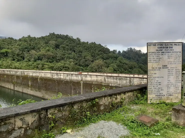
The institutional seal on all of this came in 1986, when Pope John Paul II erected the Eparchy of Thamarassery on 28 April — a Syro-Malabar diocese carved out for the migration belt itself, with Kodanchery as one of its foranes. A settlement gets its own bishop when it has stopped being a settlement. By then the second generation was running the farms, the rubber was mature, and the river below the village had begun to be engineered rather than merely crossed; that part of the story, from the Chembukadavu weir onward, is told on our Tusharagiri Waterfalls page.
The village has produced more than agriculture. The panchayat’s history records a strong amateur culture of drama, folk song and storytelling in the settlement years, naming the storyteller J. Abraham and the playwright and director Jose Varghese, and it claims the volleyball player Sally Joseph — who won the Arjuna Award for volleyball in 1984 — and the child actor Santosh Anthony as its own. We have verified the Arjuna Award and its year independently; the Kodenchery connection rests on the panchayat’s own account.
Why visit
It is the practical base for the whole Kozhikode highland cluster — the eco-tourism gate, Arippara and the Iruvanjipuzha reaches are all within half an hour.
The drive in from Thamarassery is the attraction as much as the destination: rubber, arecanut and pepper smallholdings the whole way, with the Ghats wall closing the view east.
It is one of the clearest places in Kerala to read the twentieth-century Malabar migration on the ground, in church dates, school dates and field boundaries.
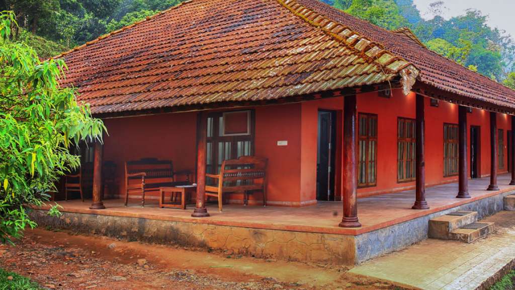
Accommodation is homestays and small plantation properties rather than a hotel strip, which makes an overnight here quiet and cheap.
The rivers are constantly in view — this is a catchment, not a viewpoint, and every road crosses water.
It is genuinely a working village, so the food, the shops and the bus stand are local rather than staged for visitors.