Thusharagiri Waterfalls trek

Ticketed forest trail at Thusharagiri near Kodencheri, passing three cascades within the first kilometre; the guided trekking routes beyond them run to 2–6 km. This trek guide is organized from Thusharagiri in Kozhikode district, with practical planning for routes, timing, nearby stays, food, operators and direct local inventory. Use it to compare what to see, how long to spend, when to go and which verified stays, local guides, jeep or taxi operators, food stops, permits and safety-aware activity providers should be verified around Thusharagiri Waterfalls trek.

Thusharagiri Waterfalls trek, Thusharagiri
Practical guide

Plan Thusharagiri Waterfalls trek

Who's going?Tailor Thusharagiri Waterfalls trek to your trip
Typetrek
Nearest baseThusharagiri
DistrictKozhikode
Best timePost-monsoon to late winter is usually…
Time neededHalf day to full day unless officially…
Places to visit4Listed businesses9

Thusharagiri Waterfalls trek belongs under Thusharagiri, one of the practical travel bases in Kozhikode district. Use Thusharagiri for stays, food, local transport and operators, then plan this place as a focused stop rather than an isolated pin.

The story

A short, ticketed forest walk from the Thusharagiri ecotourism centre near Kodencheri, past three cascades in the first kilometre — and the point beyond which the real trekking, and the real rules, begin.

The story of Thusharagiri Waterfalls trek

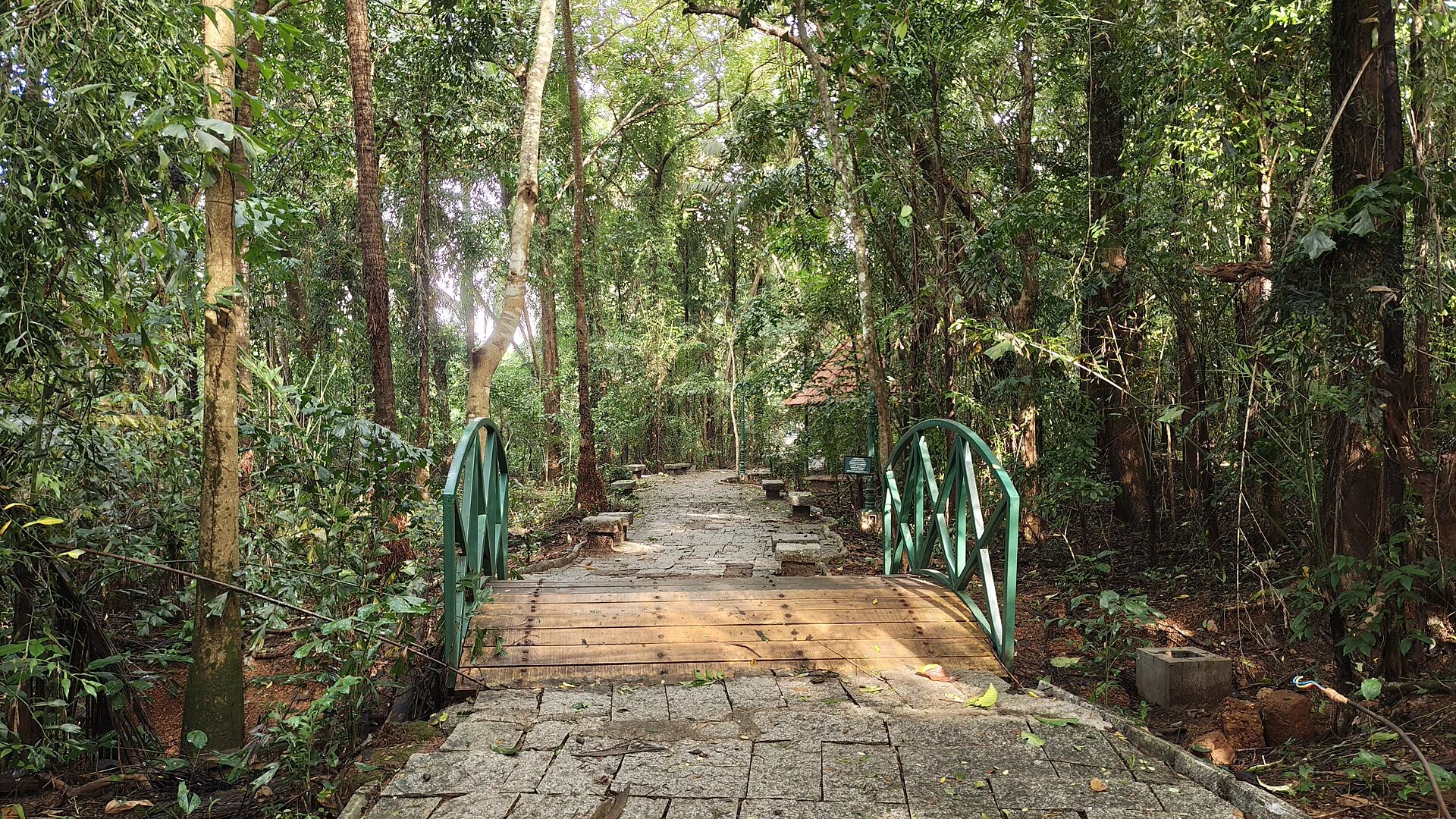
The Thusharagiri trek does not start in wilderness. It starts at a gate. A painted archway on a made-up path carries the word Swagatham — welcome — over the heads of everyone walking in, with the Kerala Forest & Wildlife Department’s name down one leg and the local ecotourism society’s down the other, and beyond it the track runs level between coffee bushes and areca palms before the forest closes over. This matters for anyone planning the day, because the walk that follows is not a wilderness expedition and was never designed to be. It is a managed, ticketed forest trail in the Thamarassery Range of the Kozhikode Forest Division, laid out by a community forest-protection committee, with a counter, a set of posted distances, guides for hire and a closing time. Understanding that shape before you arrive is the difference between a satisfying half-day and a puzzled one.

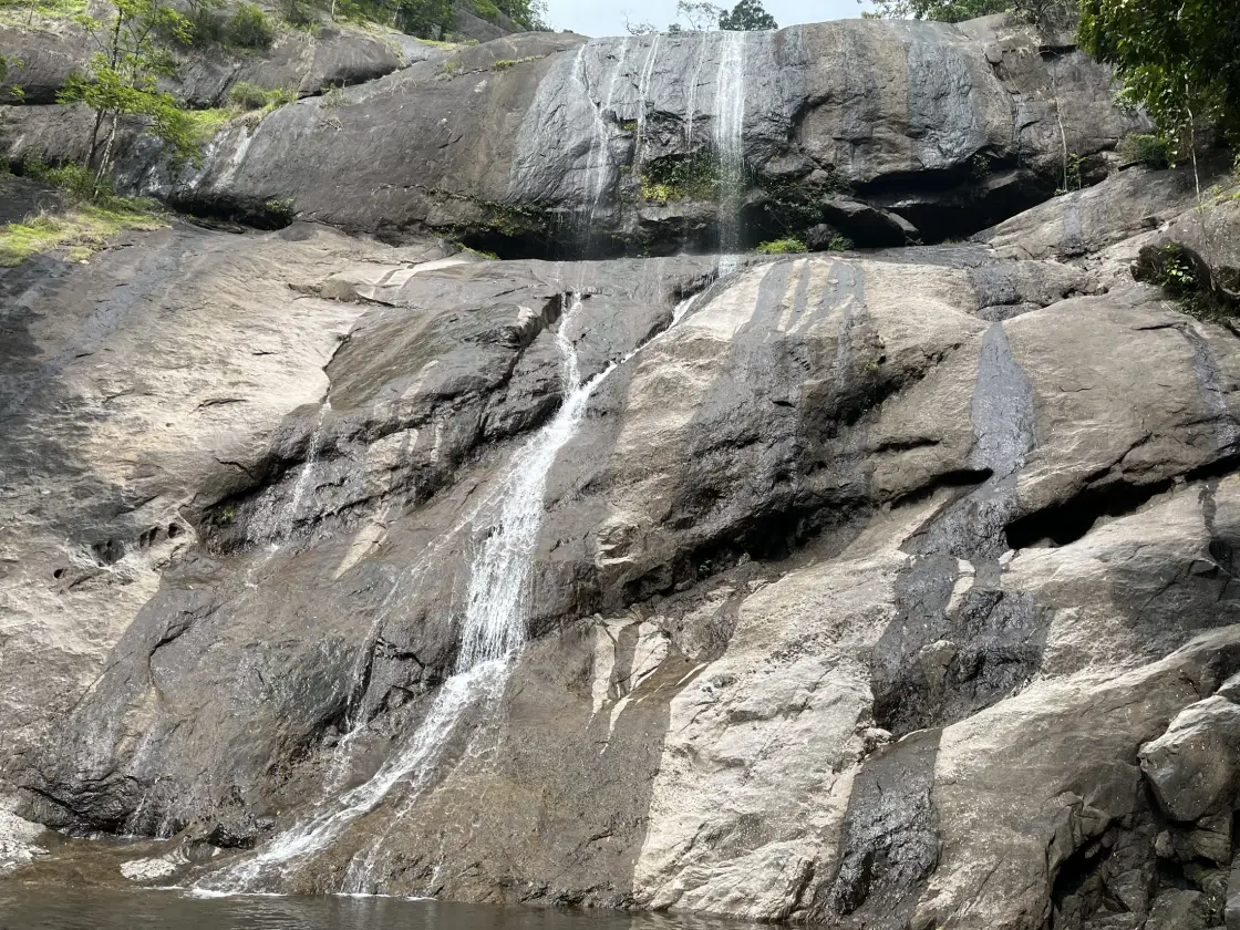
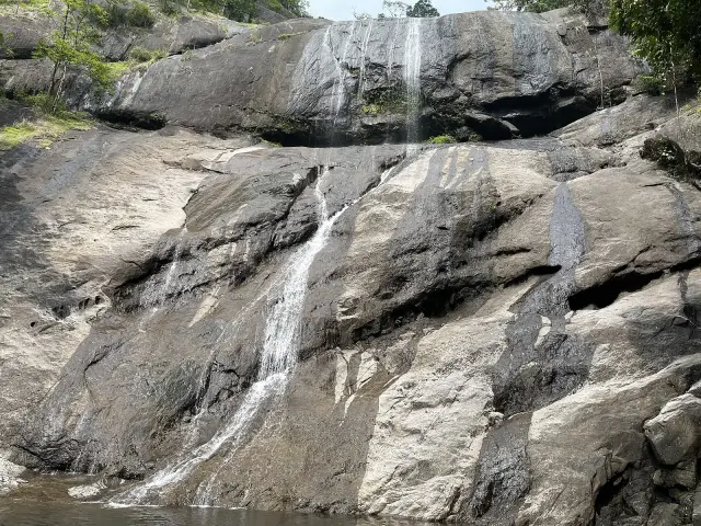
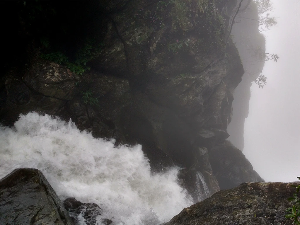
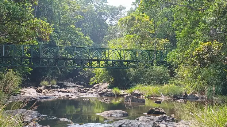
The first cascade arrives almost immediately. Erattumukku — the name means roughly the double mouth, for the meeting of streams — is posted on the department’s own board at one hundred metres from the centre, and that is a fair description of the effort involved: a short walk past a couple of trickling side-streams and a hanging footbridge over the Chalippuzha, and you are standing on a broad apron of bare grey rock with the water sliding down a slabbed face above you. In the dry months the flow is a set of thin white ribbons on a very large stone; after rain it is a different animal entirely. This is where the great majority of visitors stop, and it is why so many trip reports describe Thusharagiri as an easy walk. For them it genuinely was.

A hundred and fifty metres in, on the same easy stretch, stands the trail’s oddest landmark: the Thannimuthassi, the grandmother thanni tree. It is a huge, epiphyte-shaggy Terminalia bellirica whose trunk has gone hollow with age; the description filed with the earliest photographs of it calls it about a hundred and twenty years old and notes that at least three people can climb inside the base and sit at once. The forest board lists it as an attraction in its own right, separately from the waterfalls, which tells you something about how the trail is meant to be read — as a sequence of set pieces at posted distances rather than as a single push to a summit.

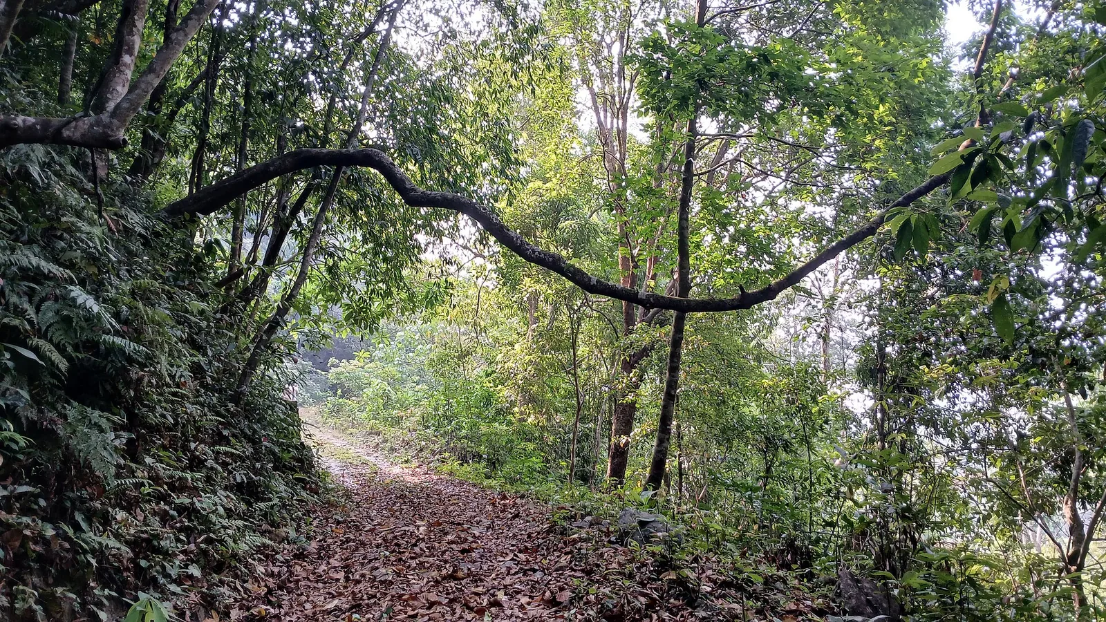
From Erattumukku the path stops being a path in the municipal sense. The made surface gives out and the route becomes root, stone, packed earth and stream-polished rock, tilting upward. Four hundred metres or so of that brings you to Mazhavil Chattam, the Rainbow Leap, where spray in the right light does what the name promises; the board posts it at five hundred metres from the centre. It is a steeper, more enclosed, greener place than the first fall, and noticeably quieter, because the gradient has already filtered out the flip-flop-and-picnic contingent. Wild vines hang across the slope in reach of your hands, and most people end up using them.

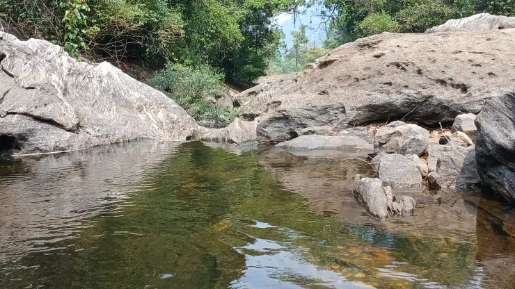
Another climb — a proper one, with slippery rock underfoot and short scrambles where the trail crosses the stream — brings you to Thumbithullum Para at about a kilometre from the gate. The name translates as the rock where the dragonflies dance, and in the drier months it earns it: the flat rock at the head of the fall is genuinely thick with them. There is a natural basin here, the one everyone photographs, and in low water people slide the last few feet of smooth rock into it. This is the practical end of the ordinary Thusharagiri outing. It is not the end of the trail.

What lies beyond is the real trekking, and it is a different undertaking with different paperwork. The forest board lists three routes under a separate heading — Thonikkayam at two kilometres, and Avinjithode and Thenpara, the Honey Rock, at six kilometres each — and these are guided walks arranged at the ecotourism counter, not something you drift onto because the weather is nice. Reports from trekkers who have done the guided route describe roughly two kilometres one way in one to two hours, a group rate of around five hundred rupees for up to ten people with a guide, permission granted on the spot, and a guide carrying concentrated salt solution for the leeches (indicative — confirm current fees and rules at the counter).

So the honest shape of a Thusharagiri day is two walks stacked on top of each other. The first kilometre is a family outing on a made and then rough path, doable in an hour with children, ending at a swimmable pool. Everything past that is a booked, guided forest trek with a turn-back time, and the counter is known to close the upper section in the early afternoon so that nobody is above the falls at dusk (reported locally — confirm on the day). Decide which of the two you have come for before you buy a ticket, arrive early enough to do it properly, and treat the water — not the gradient — as the thing that requires your attention.

Legend & myth

The surprising thing about this trek is not a legend. It is a number, painted on a signboard at the trailhead, that almost nobody who writes about Thusharagiri appears to have read.

The board is the Kerala Forest Department’s own, put up for the Thusharagiri Ecotourism Centre by the Thamarassery Range of the Kozhikode Forest Division together with the Thusharagiri Vana Samrakshana Samithi — the local forest-protection society, registration number 143-6/2003. Under the heading waterfalls, with a second column headed dooram, distance, it lists four entries: Erattumukku at 100 metres, Mazhavil Chattam at 500 metres, Thumbithullum Para at 1 kilometre, and Avinjithode at 6 kilometres. It then lists the Thannimuthassi tree at 150 metres, and under a completely separate heading, trekking places, gives Thenpara — glossed on the board itself as Honey Rock — at 6 km, Avinjithode at 6 km and Thonikkayam at 2 km.

Read that plainly and the standard tourism sentence collapses. The famous three cascades of Thusharagiri are strung along the first kilometre of trail. Reaching all three is not a one-to-two-hour trek to a series of waterfalls; it is a one-kilometre walk, the first hundred metres of it on a made path. The genuine trekking at Thusharagiri is the set of routes the department files under a different heading altogether — two kilometres to Thonikkayam, six to Avinjithode or the Honey Rock — and those are the ones that need a guide, a booking and daylight. Most visitors who report doing the Thusharagiri trek have done the walk, not the trek, and there is nothing wrong with that except that the copy sold it to them as the other thing.

The confusion has a name attached to it. Thenpara — then is honey, para is rock — is not one of the three cascades at all; on the department’s board it is a trekking destination six kilometres out. Yet the English Wikipedia article on Thusharagiri Falls states that the highest is the Thenpara, falling from an altitude of 75 metres, quietly converting a distant honey-rock trek into the tallest of the waterfalls. Kerala Tourism’s own destination page for Kozhikode instead gives the 75-metre figure to Erattumukku — the cascade that stands one hundred metres from the ticket counter. Two confident sources, the same 75 metres, two different waterfalls.

There is a plausible mechanism for at least part of the tangle, and it is worth stating as a possibility rather than a finding. Kerala Tourism’s Wayanad-section trekking page describes Erattumukku as approximately 100 metres above base — which is exactly the figure the forest board prints for Erattumukku in the column headed distance. A distance from the gate reading as a height above the base is the sort of slip that copies forward indefinitely once it is in official text. We cannot prove that is what happened, and we do not assert it as fact; we do assert that no source we could check supports a specific verified height for any individual Thusharagiri cascade, and that the 75-metre figure should be treated as unattributed until someone produces a survey.

Our own page carried the error too, and it is fair to say so. Roampedia’s stored note for this trek described a series of three cascades, the tallest Erattumukku plunging around 75 m — repeating the Kerala Tourism version — while our Kozhikode highlands guide simultaneously described moderately challenging trails of several kilometres and our ecotourism inventory graded the same outing as moderate. Easy one-to-two-hour walk, moderately challenging multi-kilometre trail, and moderate difficulty, all published by us about the same place. The board resolves it: both descriptions were true, of two different walks that share a car park.

The third recurring claim is the one to be most careful about. A great many pages, including Kerala Tourism’s own, say you can trek onward from Thusharagiri to Wayanad — that Thusharagiri offers a fine trekking trail to Wayanad, and that another trail from the base leads to the woodlands and then to Vythiri, used by hundreds of trekkers every year. Our own town record repeats it, listing a Vythiri ghat route among Thusharagiri’s highlights. Terrain-wise the claim is not absurd; the ghats do rise from here toward the Wayanad plateau. Legally it is not a casual suggestion. Under section 26(1)(d) of the Indian Forest Act, entering or trespassing in a reserved forest — trekking included — without the department’s permission is an offence, and Kerala’s forest authorities have repeatedly warned that unauthorised trekking will be acted against. If you want to walk toward the ghats from here, that is a conversation with the range office, not an itinerary you assemble from travel blogs.

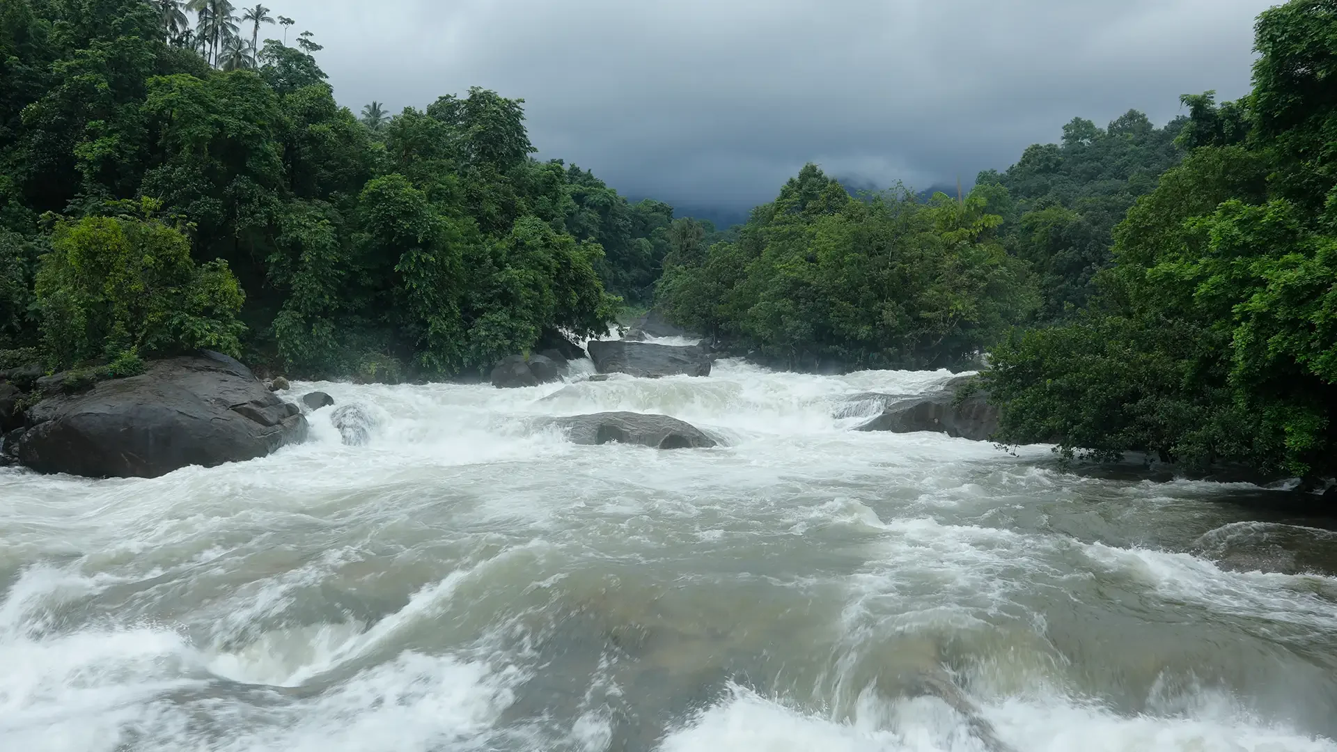
Finally, the restrictions are real and they are documented. On 18 July 2022 a twenty-two-year-old college student from Beypore, Amal, drowned at Thusharagiri; the panchayat, the forest department and the police had prohibited entry to the falls because heavy rain in the hills had raised the Chalippuzha, and the group had gone in anyway. Local coverage noted that accidents recur here and attributed them to visitors disregarding the restrictions. On 5 October 2022 a flash flood from rain in the upper forest swept down to the first fall in the afternoon, where more than two hundred people were present and many were in the pool; the forest department’s own ecotourism guides cleared everybody off the riverbed in time and nobody died. And under Kerala’s monsoon advisories, tourist spots across districts under red and orange alerts — Kozhikode among them — are placed off limits until the warnings lift. Thusharagiri closes. Plan for it.

Read the full history of Thusharagiri Waterfalls trek 723 more words

History

Thusharagiri’s trail is younger than the place’s reputation. The Chalippuzha falls have drawn walkers out of Kozhikode for as long as the Thamarassery road has existed, but for most of that time the approach was an informal one — plantation tracks, cattle paths, local knowledge — with no gate, no ticket and no one counting who went up. The organised trail that visitors walk today is a product of Kerala’s participatory forestry reforms of the 1990s and early 2000s, which put management of forest-fringe resources into the hands of village-level committees working with the range office.

The visible marker of that shift is on the signboard itself: the Thusharagiri Vana Samrakshana Samithi, registration number 143-6/2003. A VSS — Vana Samrakshana Samithi, or forest protection committee — is the standard Kerala institution for joint forest management, bringing together households living on the forest edge to share both the protection duties and the income from regulated use. That 2003 registration is, in effect, the founding date of Thusharagiri as a ticketed destination rather than a place people simply went. The guides who walk visitors to Thumbithullum Para are drawn from those same fringe households.

What the committee and the range office built was modest and deliberate. A path was made up as far as the first cascade so that families and school groups could reach water without scrambling; a footbridge was thrown across the Chalippuzha; toilets, drinking water and a camping area were provided at the centre; and the rest was left rough. The board records that list of facilities plainly — camping, toilet, drinking water, guide services, forest visits — which is a fair summary of what a small ecotourism centre in a working range can offer. Nothing about the upper trail has been engineered.

The choice to make only the first stretch easy is what produced the site’s characteristic pattern, and it has held for two decades. School parties and day visitors from Kozhikode fill the rock apron at Erattumukku; a smaller number climb to Mazhavil Chattam; a much smaller number book a guide for Thumbithullum Para and beyond. Photographs from 2011 and from 2025 show the same scene at the first fall — a crowd spread across the bare slab, a few people under the water — which suggests the management model has been stable even as visitor numbers have grown.

The trail’s recent history has been written mostly by water and by regulation. The drowning of July 2022 and the flash flood of October 2022, a season apart in character, between them made the department’s case: that the danger at Thusharagiri is not the gradient but the river, that it arrives from rainfall you cannot see falling, and that the guides standing on the rock are the safety system. Successive monsoon advisories have since closed the site outright when Kozhikode goes to red or orange alert.

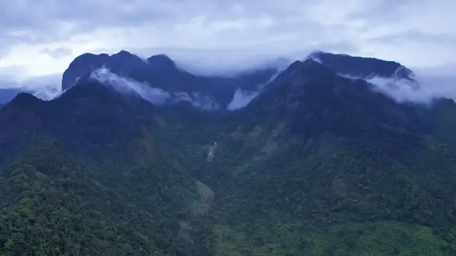
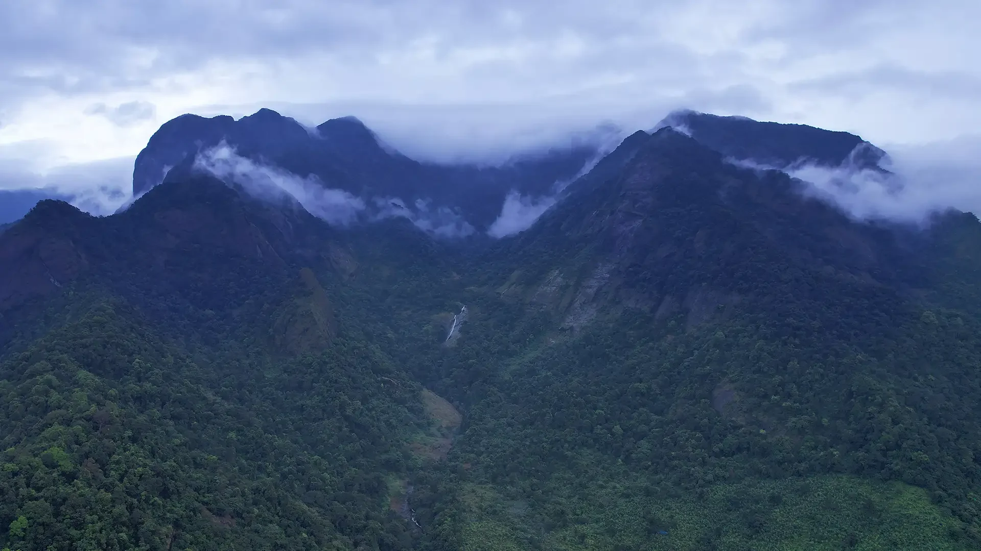
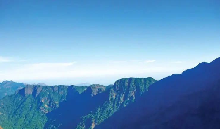
The wider mountain has changed the conversation too. Thusharagiri sits on the Kozhikode flank of the same Western Ghats wall that failed catastrophically above Chooralmala and Mundakkai in Wayanad in July 2024, and the whole belt has since been read more cautiously — by the forest department, by district administrations and by the people who live under it. That does not make the walk to the first cascade unsafe on a clear February morning. It does mean that the old, breezy framing of Thusharagiri as a place you turn up at and wander into is finished, and the current framing — booked, guided, timed and closable — is the one to plan around.

Why visit

Reach three named cascades inside the first kilometre — a genuinely easy family walk from the gate to Erattumukku.

See the Thannimuthassi, a hollow-trunked thanni grandmother of a tree reckoned at well over a century old, 150 m along the path.

Swim in the natural rock basin at Thumbithullum Para, the rock where the dragonflies dance, when water levels are low.

Book a guided forest trek at the counter — Thonikkayam at 2 km, Avinjithode or the Honey Rock at 6 km — for the walking the day trippers never see.

Watch the trail change character underfoot, from made path to rock, root and hand-over-vine within a few hundred metres.

Walk a trail run jointly by the Thamarassery range office and a village forest-protection committee, with local guides who know the river.

What to expect

Highlights

  • Trek route around Thusharagiri Waterfalls trek
  • Western Ghats landscapes and viewpoints
  • Guided operator and permit planning
Getting there

How to visit

  • Base yourself in Thusharagiri or a nearby town in Kozhikode, then confirm the last-mile route locally before leaving.
  • Confirm permits, guide requirement and reporting point before travel; many Kerala treks are controlled by forest authorities.
  • If the visit depends on forest, temple, boat, ferry, weather or seasonal access, check the official/local rule on the day before travel.

Distance by road

  • Coimbatore180 km
  • Kochi182 km
  • Mysuru209 km
  • Mangaluru233 km
  • Bengaluru349 km

Road km to Kozhikode; ghat roads and traffic vary — allow extra.

Timing

Best time

Post-monsoon to late winter is usually best; avoid heavy-rain days and closed forest periods.

Visitor notes

  • Carry water, snacks, sun/rain protection and proper footwear.
  • Do not assume same-day permits are available.
Safety

Good to know

  • Use approved guides where required.
  • Do not enter closed forest routes or trek in heavy rain.
Official eco & forest programmes

Forest stays, camping and guided activities linked to Thusharagiri Waterfalls trek

These are official or public-sector eco offerings that match this place, town or forest destination. Confirm availability, permits, tariffs and reporting times with the official operator before travel.

Thusharagiri Waterfalls, Thusharagiri Waterfalls trek
waterfalltrekwildlife

Thusharagiri waterfalls and trek

Foothill waterfall and trekking destination east of Kozhikode, listed in Kerala Tourism’s ecotourism inventory.

Kerala Forest Department / local tourism authorities
Official source →
Vellarimala, Thusharagiri Waterfalls trek
trekcampingwildlife

Vellarimala trek

Western Ghats trek landscape linked with the Thusharagiri/Vellarimala side of Kozhikode; access depends on forest permissions.

Kerala Forest Department
Official source →
Stay · eat · do · rent · see · shop

Stays, food & things to do near Thusharagiri Waterfalls trek

Verified hotels, homestays, restaurants, experiences, sights, shops and rentals around Thusharagiri Waterfalls trek — commission-free, with direct contact. Filter by what you need.

1 place to eat near Thusharagiri Waterfalls trek

T
Tusharagiri Waterfalls Food Stop
Where to eat
Top pick Verified
Waterfall food stop · Thusharagiri
Tusharagiri Waterfalls Food Stop

Tusharagiri Waterfalls Food Stop is a sourced waterfall food stop record for the thusharagiri guide.

Commission-freeView details

Book with the place itself. India’s cyber-crime coordination centre warned in April 2025 that convincing copies of hotel and pilgrimage booking sites are being pushed through sponsored search and social ads, taking payment for rooms the property never hears about. Every listing here links to the business’s own contact details and its own Google or Bing profile — we take no commission and sit in nobody’s payment path. If a booking page reached you through an ad, check the address bar against the property’s own site before you pay. Fraud can be reported on cybercrime.gov.in or on 1930.

Ranked

The best of Thusharagiri, ranked

Thusharagiri Waterfalls trek sits in Thusharagiri, and these rank everything verified across the town rather than this one spot — built from the same listings shown above, ordered by the strength of the source evidence behind each entry rather than by anyone's star score. Every card shows how many places are really on it. Nobody pays to appear.

Across the whole of Thusharagiri

Ranked guides

Top experiences around Thusharagiri

3 more Thusharagiri experiences worth building a day around, each with a full guide, how to reach it and what sits next to it. Thusharagiri Waterfalls trek is left off — you are already on it — and so is anything already shown in the nearby list further down, so nothing here repeats.

waterfallTusharagiri Waterfalls

Waterfall and trekking area in the foothills east of Kozhikode.

waterfallArippara Waterfalls

A ticketed rock-shelf cascade on the Iruvanjipuzha in Kodanchery panchayat, famous for bathing and dangerous for it — the hazard is a field of scoured potholes in the riverbed, not the drop.

trekVellarimala trek

Challenging high-altitude trek to the Vellarimala range (around 2,340 m) on the Kozhikode–Wayanad Western Ghats crest, for experienced trekkers only.

Roampedia is commission-free — own or know a stay, eatery, guide or shop near Thusharagiri Waterfalls trek? List it and it appears here once verified.

Add a nearby business
Good to know

Thusharagiri Waterfalls trek — frequently asked

Is the Thusharagiri trek actually easy?

The first part genuinely is. The forest department’s board at the centre posts Erattumukku at 100 metres, Mazhavil Chattam at 500 and Thumbithullum Para at 1 kilometre, and the opening stretch is a made path — most visitors are back within a couple of hours. The real trekking is the separately listed guided routes: Thonikkayam at 2 km, Avinjithode and Thenpara at 6 km. Those need a guide, a booking and a full morning (indicative — confirm at the counter).

Do I need a guide, and what does it cost?

For the first cascades, no. For anything above them, yes — the department runs the upper trail on guides, with permission issued at the ecotourism centre on arrival. Trekkers report a group rate of around ₹500 for up to ten people with a guide, on top of a small per-head entry ticket, and the guides carry salt solution for leeches. Fees and arrangements change; confirm at the counter rather than budgeting from a blog (indicative — confirm locally).

What time does it open, and is there a cut-off for the upper trail?

Published hours disagree — one official district source gives 6:00 to 18:00, others give roughly 08:30 to 17:00 — so treat any single figure with suspicion. What is consistently reported is a mid-afternoon cut-off, around 3 pm, for setting off toward the second and third falls, so that nobody is above the water at dusk. Arrive in the morning if the upper trail is the point of the day (indicative — confirm on the day).

What is underfoot, and what should I wear?

Made surface for the first stretch, then rock, root, packed earth and stream-polished slab, with short scrambles at the crossings and wild vines to hang on to on the steeper pitches. Wet rock here is genuinely treacherous. Wear shoes with real grip rather than sandals, keep your hands free, and expect to get your feet wet. Leeches are common in and after the wet months; salt or a leech-repellent and long socks help.

Can you swim, and is it safe?

There is a natural basin at Thumbithullum Para and people do swim in it when levels are low, and the pool at the first fall is popular with day visitors. Whether it is safe depends entirely on the river that day. On 5 October 2022 a flash flood from rain in the upper forest reached the first fall in the afternoon with more than two hundred people present; forest guides cleared the riverbed in time. Entry is banned outright when the water rises — obey it.

Is it closed in the monsoon?

Not by a fixed calendar, but frequently by order. Entry has been prohibited by the panchayat, forest department and police when rain in the hills raises the Chalippuzha, and Kerala’s statewide monsoon advisories close tourist sites across any district under a red or orange alert. June to August is the least predictable window. Check the alert status for Kozhikode district before you set out.

Can I trek on from Thusharagiri to Wayanad or Vythiri?

Not on your own initiative. Several sources, including official tourism copy, describe a trail from here toward Vythiri, and the terrain does rise to the Wayanad plateau. But under section 26(1)(d) of the Indian Forest Act, entering a reserved forest to trek without the department’s permission is an offence, and Kerala’s forest authorities have warned repeatedly that unauthorised trekking will be acted on. Ask the Thamarassery range office; do not assemble the route from travel blogs.

How tall are the falls?

Honestly, nobody seems to know. Wikipedia calls Thenpara the highest at 75 metres; Kerala Tourism gives the same 75 metres to Erattumukku; another Kerala Tourism page describes Erattumukku as about 100 metres above base — which is exactly the distance the forest board posts for it. We could not find a survey behind any of these figures, so we do not publish one. Thenpara, in any case, is listed by the department as a 6 km trekking destination, not as one of the three cascades.

How do I get to the trailhead?

The Thusharagiri Ecotourism Centre is in Kodancherry panchayat, roughly 48–50 km east of Kozhikode by the Thamarassery road, about 6 km beyond Kodenchery and around 3 km past Chembukadavu, with the last stretch a narrow plantation road. Kozhikode is the nearest railhead and airport. Buses reach Kodenchery; the final leg is easiest by car or auto, and returning transport thins out late in the afternoon (indicative — confirm locally).

When is the best time to visit Thusharagiri Waterfalls trek?

Post-monsoon to late winter is usually best; avoid heavy-rain days and closed forest periods.

How do I reach Thusharagiri Waterfalls trek?

Base yourself in Thusharagiri or a nearby town in Kozhikode, then confirm the last-mile route locally before leaving. Confirm permits, guide requirement and reporting point before travel; many Kerala treks are controlled by forest authorities. If the visit depends on forest, temple, boat, ferry, weather or seasonal access, check the official/local rule on the day before travel.

How much time do I need for Thusharagiri Waterfalls trek?

Half day to full day unless officially listed as multi-day.

What should I know before visiting Thusharagiri Waterfalls trek?

Use approved guides where required. Do not enter closed forest routes or trek in heavy rain.

Image credits