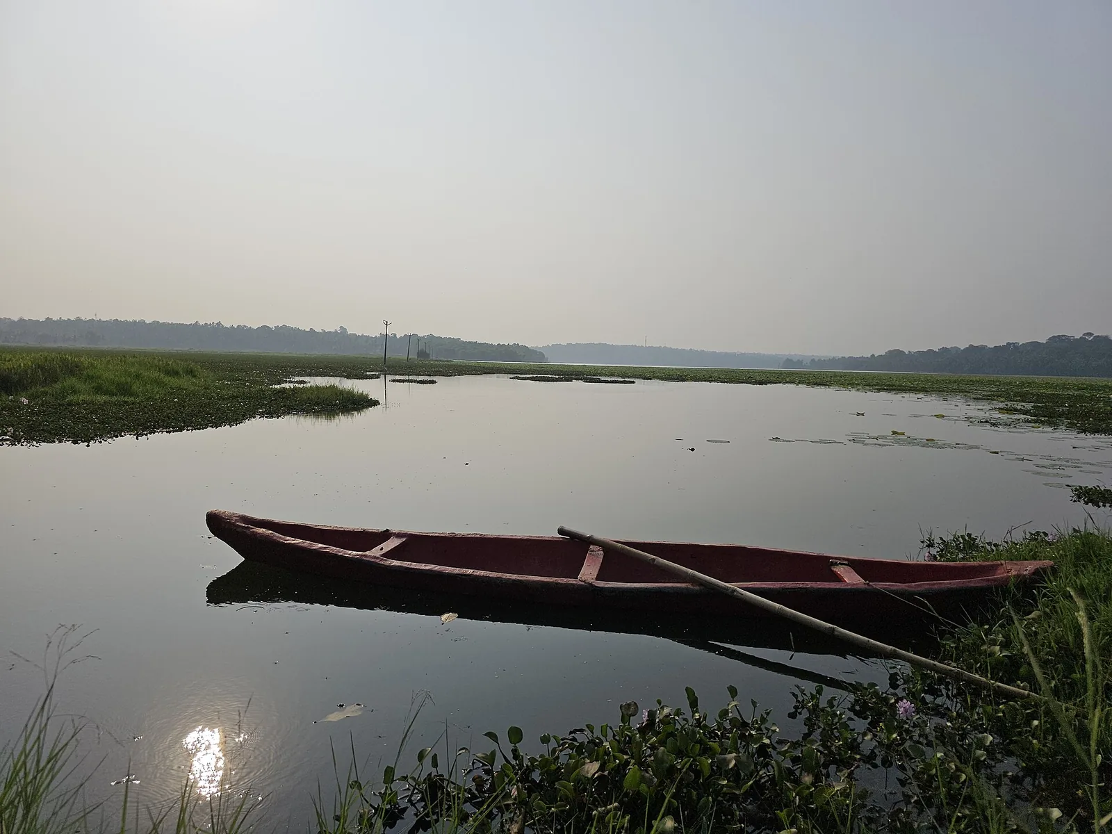
The story of a seaport’s water begins inland. In the planning documents for Vizhinjam International Seaport, Vellayani Lake appears as a possible supply source. The first document gives a designed intake. A later one gives an allocation shared with the city’s public supply system. Between those pages lies the question a visitor might naturally ask: how much water is actually coming from the lake now?
A number drawn on a plan
The port’s 2013 detailed project report says Kerala planned to supply water from Vellayani Lake. It describes a Kerala Water Authority scheme designed to draw 3.30 million litres a day for treatment, with less available after treatment and other losses. Those are design figures from a project report, not a meter reading for today.
A 2024–25 environmental compliance report describes a master-plan requirement of 1 million litres a day from Vellayani and the public Thiruvananthapuram supply system together. It records an allocation of 1 million litres a day through Kerala Water Authority schemes. It does not break that allocation down into a current daily lake withdrawal and a current daily public-system withdrawal.
The number the plan cannot give us
A planned intake, an authorised allocation and actual consumption answer three different questions. The documents establish that the lake is part of the port’s supply plan; they do not support a claim that each litre used at the terminal came directly from Vellayani. They also do not show that port demand caused a particular change in the lake’s measured area. For that question, water-use records and comparable lake measurements would be needed.
A second story runs through the lake
The Kerala Centre for Water Resources Development and Management has documented work on conserving and protecting Vellayani. Research on the lake’s open-water area uses dated maps and definitions that should be read with their methods, rather than combining numbers from different boundaries into one dramatic trend. Our lake-area guide looks at those measurements separately.
What would finish the story
The port is beyond the view from Vellayani’s shore, but the lake appears in the port’s plans. A published series of actual withdrawals by source would show whether and how that planned connection operates today. Until then, the honest ending is a precise gap in the record, not a claim that every litre at the terminal came from Vellayani or that the port caused the lake to change. At the lakefront, follow posted access and water-contact rules; project supply documents are not a recreational water-quality test.
Why a port story starts inland
Ships and cranes draw attention to the coast, while the port’s daily water demand points inland to an existing freshwater system. That makes Vellayani part of a wider infrastructure story even for someone who never visits the harbour. But a line on a project plan is not a meter reading: design demand, permitted allocation and actual use must be reported separately.
The lake shrinkage study documents older change in open water. It does not prove that the port caused that historical change. The question raised by the port records is prospective and measurable: how much is drawn now, under which conditions, and how is the lake monitored alongside other uses?
A fuller answer needs operating data, not a photograph of the quay or a number copied from a 2013 plan. The story is interesting precisely because the visible port has an invisible freshwater connection.
Frequently asked questions
Does Vellayani Lake supply Vizhinjam Port?
The port’s project report names the lake as a planned source, and its 2024–25 compliance report describes supply from Vellayani and the public system together. The public report does not give a daily split of actual withdrawals from each source.
How much water was planned for the port?
The 2013 project report described a 3.30 million litre-per-day lake intake design. The later master-plan compliance report describes a 1 million litre-per-day operational requirement and a Kerala Water Authority allocation. These figures refer to different planning and operational contexts.
Did the port cause the lake to shrink?
The cited port documents do not establish that cause. Assessing it requires dated lake measurements and actual withdrawal records, alongside other catchment and land-use changes.