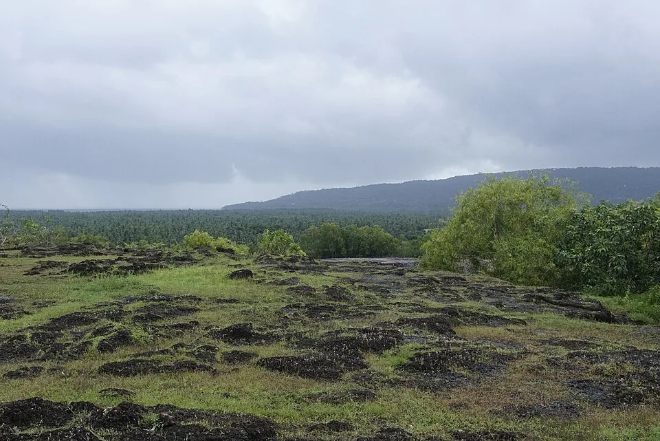
Cut into the laterite of Madayipara is a large rectangular pond, and it is called the Joothakkulam — the Jew’s pond. It is offered as evidence of a Jewish settlement here, and the date range attached to that evidence is, in the sources that carry it, “between 605 BCE and 490 CE”.
Look at that range for a moment
It is 1,095 years wide. It spans the Babylonian exile at one end and the late Roman world at the other. A range that size is not a dating; it is a statement that nobody knows. And it is attached to a pond — a rock-cut water tank of a kind that laterite country is full of, whose construction technique changed very little across the whole of that period and long after it.
None of which means there was no Jewish settlement at Madayi. Kerala’s Jewish history is deep and real, and northern Malabar had communities that the record only glimpses. What it means is that the pond is a name, and the name is the evidence, and a name is not a date. We record it as tradition and we are not going to convert it into a century.
The things on this hill that can be dated
The layers of Madayipara, with what each rests on
| Feature | What the record supports |
|---|---|
| Madayi Kavu | A temple of the mother goddess Kali — also called Thiruvarkadu Bhagavathy — belonging to the royal family of Chirakkal. A living shrine with a documented owner. |
| Madayi mosque (below the plateau) | An Arabic inscription dated AH 518 / AD 1124. Hard evidence, discussed in our companion piece. |
| The fort | Remains believed occupied by the Kolathiris and later by Tipu Sultan. “Believed” is the sources’ own word. |
| Traveller’s bungalow | Erected 1793 — a British-period date, and the most precisely dated structure on the hill. |
| Joothakkulam | A name, and a 1,095-year range. Nothing else. |
Set out like that, the hill reads differently. It is not a mysterious multi-faith site; it is a piece of high, dry, defensible, water-holding ground above a coastal town, which is exactly the sort of place that every group passing through for two thousand years would have used. The layering is not a wonder. It is what happens to good ground.
The 1793 bungalow is the one nobody mentions
It is also the most legible. A traveller’s bungalow erected in 1793 is a piece of colonial infrastructure with a date on it, put up in the decade when the British were consolidating control of Malabar after the Mysore wars — the same period in which the fort here is said to have passed out of Tipu’s hands. If you want one object on this plateau that tells you what century you are standing in, it is that, and it is generally left out of the list because it is not old enough to be romantic.
- Treat the plateau as one site, not a checklist. Grove, ponds, fort remains and the view all sit within a walk of each other.
- The kavu is a working temple of the Chirakkal royal family, not a ruin. Behave accordingly.
- The pond is worth seeing precisely because of what we do not know about it. Standing at an undated thing and knowing it is undated is more interesting than being told a century.
- Combine it with the monsoon flora if you can. The same rock does both, and the two halves of Madayipara explain each other.
Why we keep writing pages like this
Because the alternative is a paragraph saying Madayipara has “a 2,600-year-old Jewish connection”, which is what happens when the earliest end of a range gets quoted on its own. That number would then be copied, and within a few years it would be a fact with no author. We have watched exactly that happen to a dam’s height, a hill’s elevation and a saint’s title elsewhere on this site. It is easier not to start it.