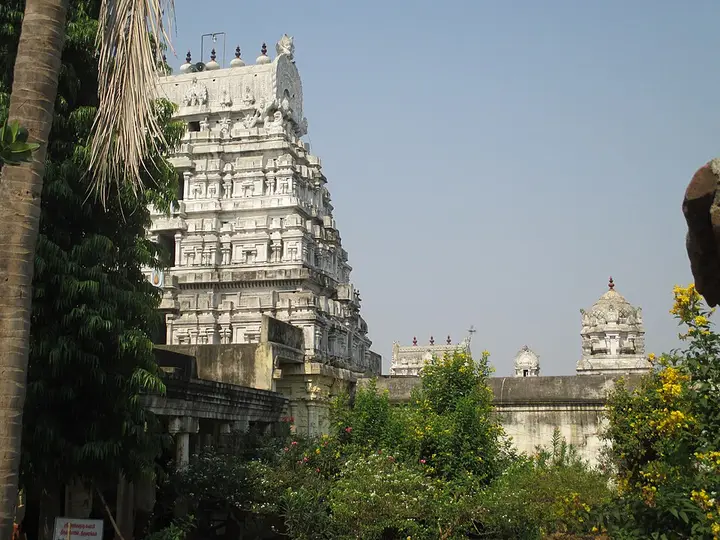
Thiyagadurgam is a highway town wrapped around a steep isolated hill, where a fort, Jain cave and living worship occupy one difficult landscape. Come in cool daylight with footwear, water and permission-led expectations.
Thiyagadurgam town and its bus stand sit immediately north of the isolated fort hill. The map shows the hill landscape, but it does not identify or certify a safe climbing trail.
The hill rises immediately beside the settlement, making the fort look compact on a map. The actual visit involves exposed rock, steep ascent and ruins without the visitor infrastructure of a staffed ticketed monument.
Historical accounts place a fort here by the seventeenth century. During the eighteenth-century Carnatic and Mysore conflicts, control shifted among French forces, Hyder Ali and the English East India Company.
Those changes should not be narrated as flags moving across empty ground. Local rulers, garrisons, supply routes and the hill’s command of the surrounding plain made Thiyagadurgam valuable to competing powers.
Two public-domain French plans preserve the fort as a surveyed military place. They are historical documents, not maps for a present climb: walls, paths, gates and access have changed.
The Jain cavern is part of the same hill but a distinct religious layer. Local and district accounts describe early Jain habitation and later images of a Tirthankara and Kushmandini beneath a natural boulder.
Precise cave coordinates were not found in the OSM audit. The page therefore routes to the mapped hill and tells visitors to seek a current local guide rather than placing a false pin on steep rock.
Shared or successive worship around the hill is one of its strongest stories. Jain images, a Bhagavathi or Malayamman tradition and later fortifications show that one landform can remain meaningful through changing communities.
Do not call every carving “ancient” or assign an exact century from appearance alone. Cave use, installed images, inscriptions and present worship can belong to different dates.
The safest season is roughly November to February. Start soon after sunrise, avoid wet rock, and abandon the climb during lightning, strong wind, extreme heat or poor visibility.
There is no reason to climb alone. A resident guide can identify the used path, warn about private or sacred areas and prevent an ambiguous track from becoming a dangerous shortcut.
Carry water but leave no plastic, offerings or food waste on the hill. Monkeys and livestock should not be fed. Do not light candles, incense or a cooking flame outside a place explicitly designated by custodians.
The fort is ruinous. Never lean on parapets, enter unstable chambers, move stones or climb walls for a photograph. Protected status does not guarantee that every edge has a barrier.
The main bus stand is close to the town centre and fort hill, but the final climb still requires a locally confirmed route and suitable weather.
Kallakurichi supplies broader accommodation and medical choice. Thiyagadurgam has everyday businesses and a mapped government primary health centre, but it should not be described as a fully serviced trekking base.
Accessibility is limited by the hill. A meaningful lower-level visit can still include the town view, historical plans and conversation about the site. Do not pressure a traveller to complete an unsafe ascent to count the visit.
The correct page is therefore precise where the map is precise and restrained where it is not: exact town, bus stand and hill objects; no invented cave coordinate; no promise that a route remains open.
Legend & myth
Tradition remembers Jain ascetics using the natural cavern and the installation of Tirthankara and Kushmandini images.
Local Hindu reverence around the same hill illustrates continuity and reinterpretation, not a reason to erase the Jain identity of the carvings.
Stories should be heard from custodians on site and identified as living tradition rather than converted into fixed archaeological dates.