What to expect
Jedarpalayam Dam
A dam built across the Cauvery river in the Kabilarmalai area, about 36 km from Namakkal town. It is a popular picnic and boating spot for local visitors.

Practical guide
Plan Jedarpalayam Dam
Who's going?Tailor Jedarpalayam Dam to your trip
Typedam
Nearest baseKabilarmalai
DistrictNamakkal
Best timeOctober to March is the cooler, drier…
Time neededAbout an hour
EntryFree
Jedarpalayam Dam is planned from Kabilarmalai, one of the travel bases in Namakkal district. Use Kabilarmalai for stays, food and local transport, then plan this place as a focused stop.
Getting there
How to visit
- Base yourself in Kabilarmalai or nearby in Namakkal, then confirm the last-mile route locally before travel.
- If access depends on temple, museum or seasonal rules, check on the day before you go.
Timing
Best time
October to March is the cooler, drier season in the Cauvery delta.
Weather in Jedarpalayam DamSeasonal guide
Live forecast loads in your browser.
Today at Jedarpalayam Dam
Sunrise6:07 am
Sunset6:00 pm
Golden hour best light5:00 pm–6:00 pm
Blue hour after sunset6:00 pm–6:25 pm
Sun sets toward compass bearingW · 261°
Moon tonight🌒 Waxing crescent · 24%
Retreating monsoon. October and November still see spells of rain from the retreating monsoon, though it is usually lighter than mid-year. Conditions are generally good but worth checking.
Sun and moon are calculated for this location and shown in IST. Photography windows are the hour around sunrise and sunset; the sunset bearing is degrees clockwise from true north. Moon phase is accurate to about half a day.
Stay · eat · do · rent · see · shop
Stays, food & things to do near Jedarpalayam Dam
Verified hotels, homestays, restaurants, experiences, sights, shops and rentals around Jedarpalayam Dam — commission-free, with direct contact. Filter by what you need.
Verified inventory is being added here.
Verified places are being added. The category filters will fill in as approved stays, restaurants, experiences, sights, shops and nature listings go live.
List your placeRoampedia is commission-free — own or know a stay, eatery, guide or shop near Jedarpalayam Dam? List it and it appears here once verified.
Add a nearby businessBefore you go
Jedarpalayam Dam — at a glance
TimingsOpen daily during daylight hours (roughly 6:00 AM-6:00 PM)
Best timeAugust to December, when the Cauvery is flowing well
Entry: Free
Getting here
How to reach Jedarpalayam Dam
In the Kabilarmalai area, about 36 km from Namakkal town. Nearest railway station Namakkal (~36 km); nearest airports Salem (SXV) ~75 km or Tiruchirappalli (TRZ) ~80 km.
Getting around Jedarpalayam Dam
If you need step-free access, contact the site before travelling. Ask about a level entrance, steps along the route, the nearest drop-off point, seating and accessible toilets.
If you need help at Jedarpalayam Dam
112All emergencies (police · fire · medical)The single number to call in any emergency (ERSS).100Police101Fire108Ambulance (emergency / EMS)1091Women’s helpline (distress)1098Child helpline1363Tourist helpline (India, 24×7, multilingual)
Emergency numbers are verified against official government and state tourism sources. 112 works anywhere in India.
Nearby
What’s near Jedarpalayam Dam
V
Vaiyapamalai Murugan Temple
Place
templeVaiyapamalai Murugan Temple
A hilltop Murugan (Sri Balasubramanya) temple near Mallasamudram, believed to be around 1,000 years old. From the summit visitors get a sweeping view over the surrounding towns and countryside.
12.3 km · ~21 min by cab · straight lineS
Sri Sundararaja Perumal Temple, Kanakapatti
Place
templeSri Sundararaja Perumal Temple, Kanakapatti
A Vishnu temple in Kanakapatti village where the deity is worshipped as Sundararajan, a form signifying beauty and grace. It is one of the notable Perumal shrines around Tiruchengode.
13.9 km · ~23 min by cab · straight lineU
Uchi Pillayar Temple, Tiruchengode
Place
templeUchi Pillayar Temple, Tiruchengode
A Ganesha shrine at the highest point of the Tiruchengode hill, near the Ardhanareeswarar temple complex. Pilgrims climbing the hill stop here for its commanding view over the town.
16.0 km · ~27 min by cab · straight lineC
Chenkottu Velavar Temple
Place
templeChenkottu Velavar Temple
A Murugan temple on the same hill as the Ardhanareeswarar shrine in Tiruchengode. A major pilgrimage centre, it is closely associated with the Sengunthar (Kaikolar) community, whose name derives from Murugan's red spear.
16.5 km · ~27 min by cab · straight lineK
Kailasanathar Temple, Tiruchengode
Place
templeKailasanathar Temple, Tiruchengode
A large Shiva temple at the foot of the Tiruchengode hill, separate from the hilltop Ardhanareeswarar shrine. The main deity Kailasanathar is worshipped as a lingam, with a separate shrine for the goddess Sugunda Kundalambigai. It is known for its towering gopuram and grand walls.
16.8 km · ~28 min by cab · straight line
templeArdhanareeswarar Temple
A hilltop temple reached by around 1200 steps or by road, enshrining Shiva in the Ardhanareeswarar form as half-man, half-woman.
17.6 km · ~29 min by cab · straight line
templeMariamman Temple, Rasipuram
A living neighbourhood shrine to Mariamman, mapped by OpenStreetMap as Shri Nithya Sumangali Maariyamman Temple. Festival days draw large local congregations; ordinary days reward a quieter visit.
18.4 km · ~31 min by cab · straight line
templeKailasanathar Temple, Rasipuram
A west-facing Shiva temple with a five-tiered rajagopuram. Rasipuram Municipality records the oral tradition that the Kolli ruler Valvil Ori found the lingam while hunting a boar in an ilandhai grove; his standing image remains inside.
18.4 km · ~31 min by cab · straight line
heritageNamakkal Fort
A hilltop fort built on the towering Namakkal rock, with the rock-cut Pallava-era Narasimhaswamy and Ranganathaswamy cave temples set into its flanks.
19.3 km · ~32 min by cab · straight line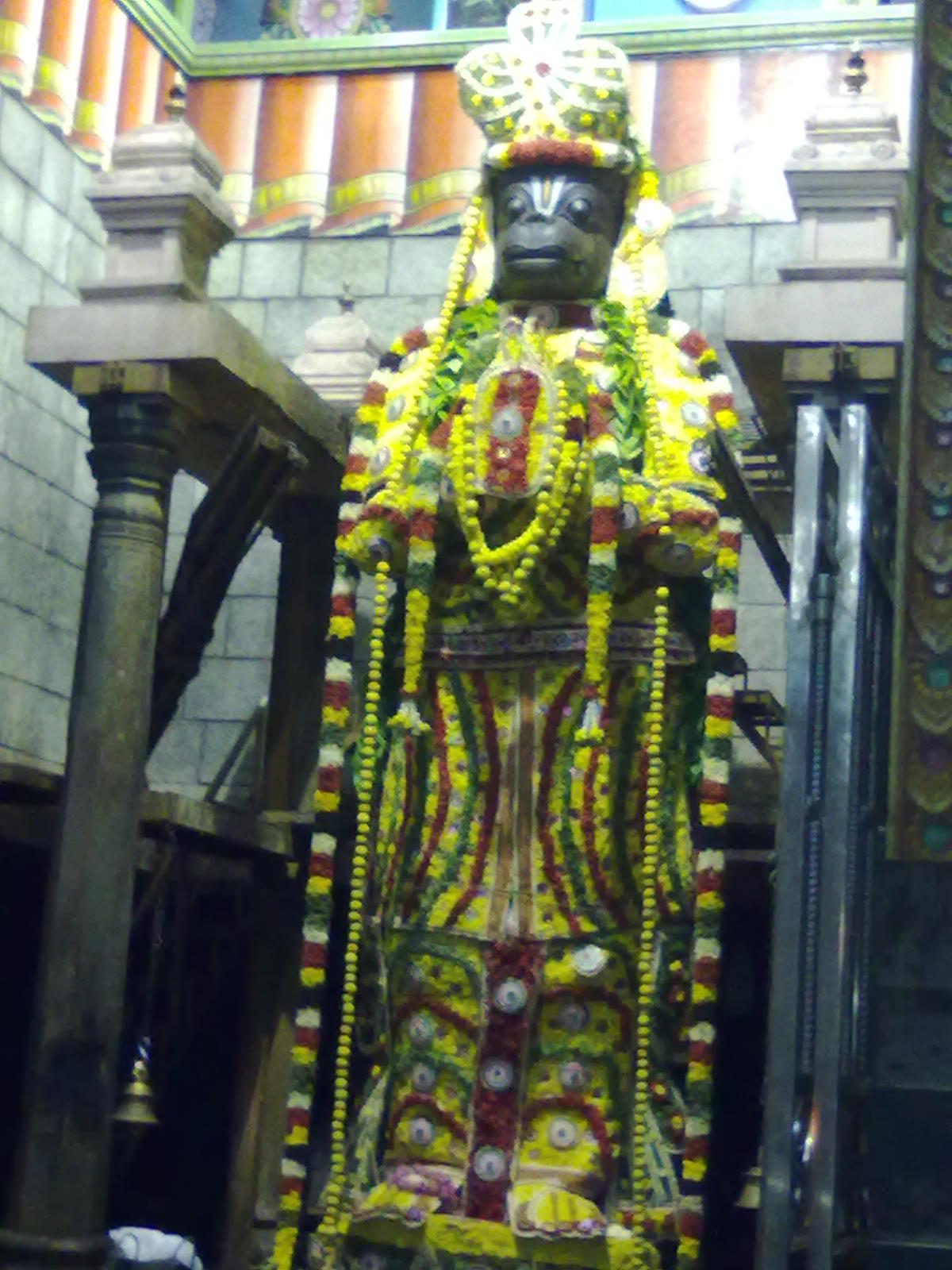
templeNamakkal Anjaneyar Temple
A living shrine centred on the tall open-air Anjaneyar image facing the separate Narasimhaswamy temple.
19.9 km · ~33 min by cab · straight line
templeSri Ranganatha Perumal temple, Namakkal
A Pallava-era rock-cut cave temple dedicated to Ranganatha (reclining Vishnu), carved into the Namakkal fort rock alongside the Narasimhaswamy shrine.
20.0 km · ~33 min by cab · straight line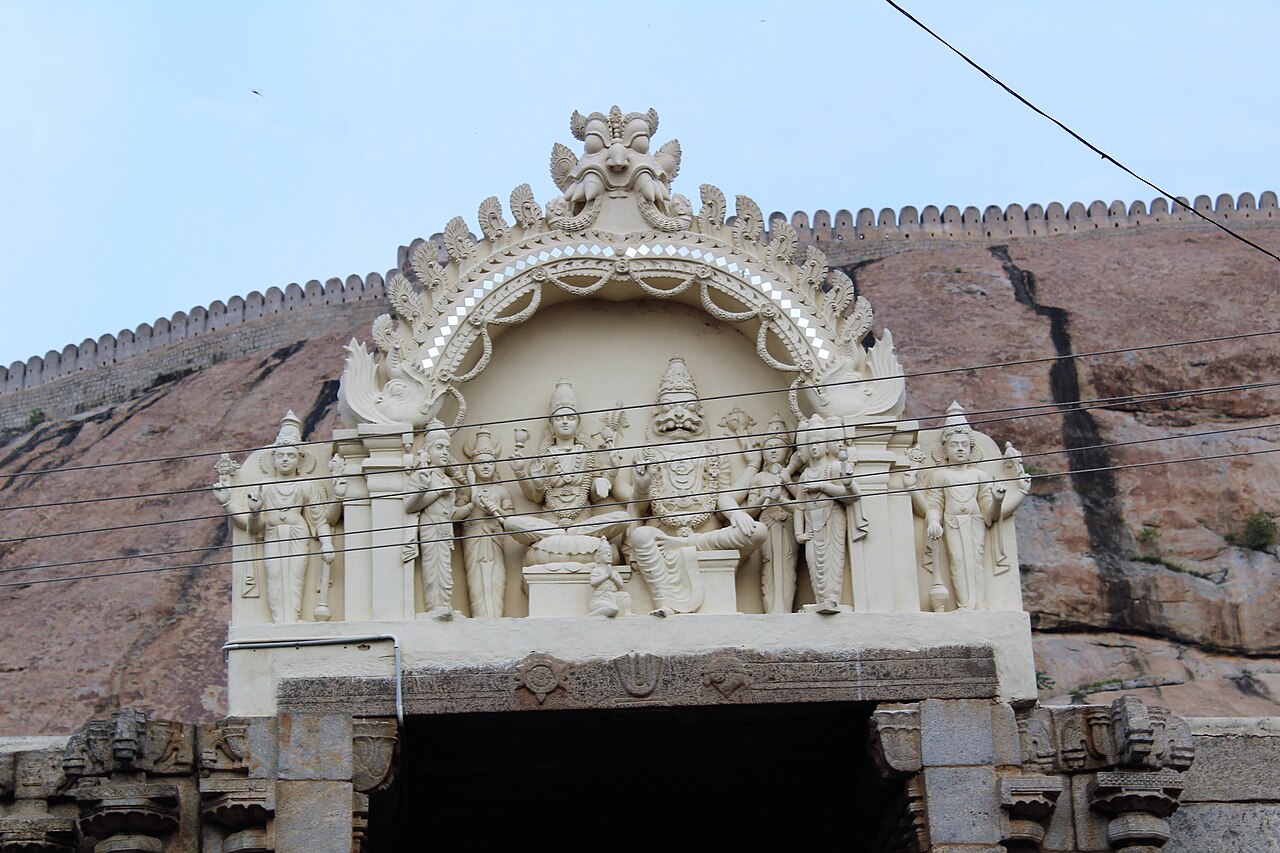
templeNarasimhaswamy Temple, Namakkal
A Pallava-era rock-cut cave temple dedicated to Narasimha, carved into the flank of the Namakkal fort rock, facing the open-air Anjaneyar shrine.
20.0 km · ~33 min by cab · straight lineOn the map
Where Jedarpalayam Dam is
Good to know
Jedarpalayam Dam — frequently asked
When is the best time to visit Jedarpalayam Dam?
October to March is the cooler, drier season in the Cauvery delta.
What are the entry fee and timings at Jedarpalayam Dam?
Entry: Free. Timings: Open daily during daylight hours (roughly 6:00 AM-6:00 PM).
How do I reach Jedarpalayam Dam?
Base yourself in Kabilarmalai or nearby in Namakkal, then confirm the last-mile route locally before travel. If access depends on temple, museum or seasonal rules, check on the day before you go.
How much time do I need for Jedarpalayam Dam?
About an hour.
What else is near Jedarpalayam Dam?
Nearby you can pair Vaiyapamalai Murugan Temple (12.3 km), Sri Sundararaja Perumal Temple, Kanakapatti (13.9 km), Uchi Pillayar Temple, Tiruchengode (16.0 km), Chenkottu Velavar Temple (16.5 km).
Read before you go
Jedarpalayam Dam guides, stories & itineraries
We have not published a story about Jedarpalayam Dam itself yet. These cover Kabilarmalai and the wider district, with separate journeys between stops.
Tamil Nadu-wide guides & itineraries
Route-level itineraries and practical guides for the rest of Tamil Nadu.
The story of Kailasanathar Temple, Tiruchengode
Place story
The story of Kailasanathar Temple, Tiruchengode
4 min read · Read →
Kailasanathar Temple, Tiruchengode: history, architecture and significance
History & significance
Kailasanathar Temple, Tiruchengode: history, architecture and significance
4 min read · Read →
Kailasanathar Temple, Rasipuram: story and tradition
Story & tradition
Kailasanathar Temple, Rasipuram: story and tradition
4 min read · Read →
Kailasanathar Temple, Rasipuram: myths, tradition and meaning
Myth & meaning
Kailasanathar Temple, Rasipuram: myths, tradition and meaning
4 min read · Read →
The story of Chenkottu Velavar Temple
Place story
The story of Chenkottu Velavar Temple
4 min read · Read →
Chenkottu Velavar Temple: history, architecture and significance
History & significance
Chenkottu Velavar Temple: history, architecture and significance
4 min read · Read →
Image credits
Photographs: Sivashankaran, CC BY-SA 3.0, via Wikimedia Commons (CC BY-SA 3.0). Wikimedia Commons.