What to expect
Highlights
- Stanley Reservoir panorama
- Major Kaveri water infrastructure
- Designated public viewpoints
Mettur Dam impounds the Kaveri to form Stanley Reservoir and remains critical operating water infrastructure with restricted zones.
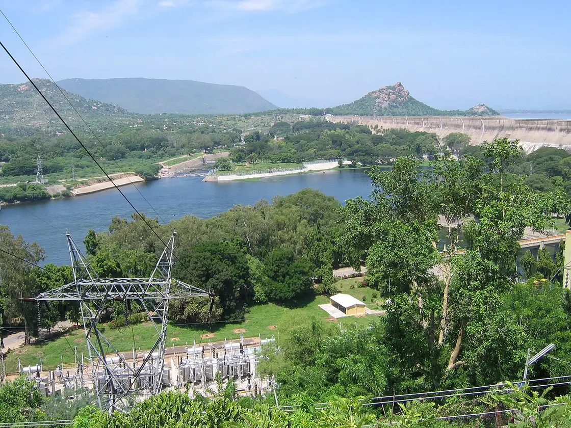
Mettur Dam impounds the Kaveri to form Stanley Reservoir and remains critical operating water infrastructure with restricted zones. Visit only designated public viewpoints or parks. A map pin on the dam wall does not authorise walking, stopping or photography there.
The dam and reservoir are central to irrigation and power history in Tamil Nadu, but operational security governs visitor movement.
Water level, releases and maintenance change the experience. Reservoir-edge access and downstream flow must never be inferred from old photos.
Ask locally which park or viewpoint is open, park lawfully and keep out of fenced or signed areas.
For the visit itself, allow one to two hours. The best time is cool daylight at an authorised viewing area. Choose a named public viewpoint or park. Check release and security restrictions on arrival. Keep away from spillways, edges and restricted operational structures.
Cool daylight at an authorised viewing area.
Live forecast loads in your browser.
Sun and moon are calculated for this location and shown in IST. Photography windows are the hour around sunrise and sunset; the sunset bearing is degrees clockwise from true north. Moon phase is accurate to about half a day.
Verified hotels, homestays, restaurants, experiences, sights, shops and rentals around Mettur Dam — commission-free, with direct contact. Filter by what you need.
Verified places are being added. The category filters will fill in as approved stays, restaurants, experiences, sights, shops and nature listings go live.
List your placeOne more place around Mettur worth a day of its own.

11.1 km · ~19 min by cab
The large reservoir formed by Mettur Dam on the Kaveri river, ringed by parkland and boating facilities.
Roampedia is commission-free — own or know a stay, eatery, guide or shop near Mettur Dam? List it and it appears here once verified.
Add a nearby businessEntry: Individual parks or facilities may charge separately.
Navigate to a currently open public visitor area, not the dam crest.
If you need step-free access, contact the site before travelling. Ask about a level entrance, steps along the route, the nearest drop-off point, seating and accessible toilets.
Emergency numbers are verified against official government and state tourism sources. 112 works anywhere in India.
The large reservoir formed by Mettur Dam on the Kaveri river, ringed by parkland and boating facilities.
11.1 km · ~19 min by cab · straight lineAn amman temple at Mecheri, about 33 km from Salem on the Salem-Dharmapuri highway in the Mettur area. It is a locally significant goddess shrine that draws regular pilgrims.
14.9 km · ~25 min by cab · straight lineA siddhar shrine on the slope of Kanja Malai about 12 km from Salem, dedicated to Kalangi Siddhar, counted among the eighteen Tamil Siddhas. It is a pilgrimage spot tied to the Siddha tradition.
34.1 km · ~57 min by cab · straight line
A hill on Salem's outskirts known for iron ore deposits and views over the city, with a small hilltop temple.
35.2 km · ~59 min by cab · straight line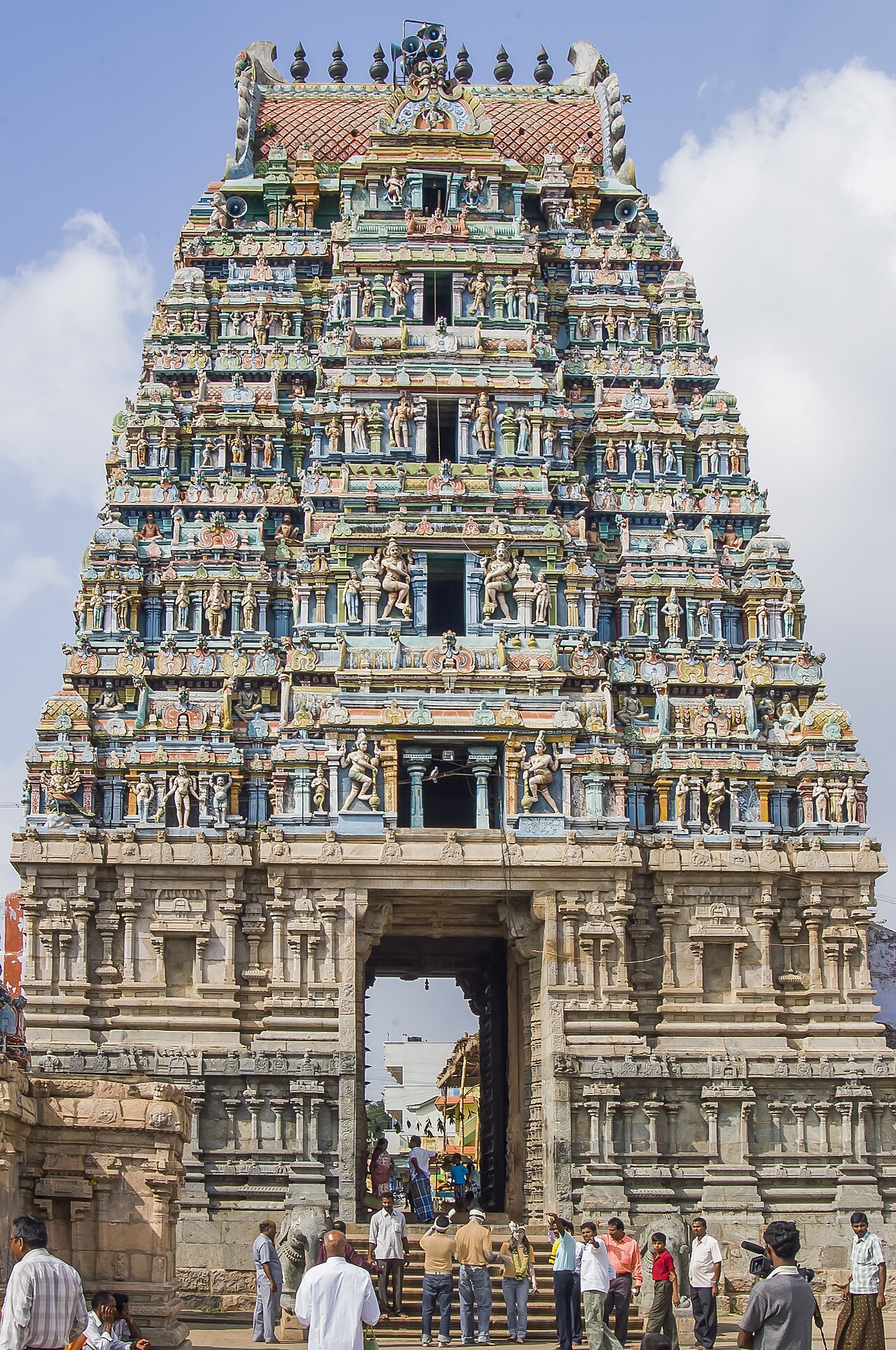
A large Shiva temple about 30 km from Salem, expanded by the Gatti Mudali chieftains between the 13th and 17th centuries over an older core. Its five-tier gopuram, roughly 90 ft tall, is carved to resemble a chariot drawn by elephants and horses, and the complex is known for intricate stone sculpture and a west-facing Vengai-wood door. It is dedicated to Kailasanathar (Shiva) and Sivakami Amman.
36.0 km · ~60 min by cab · straight line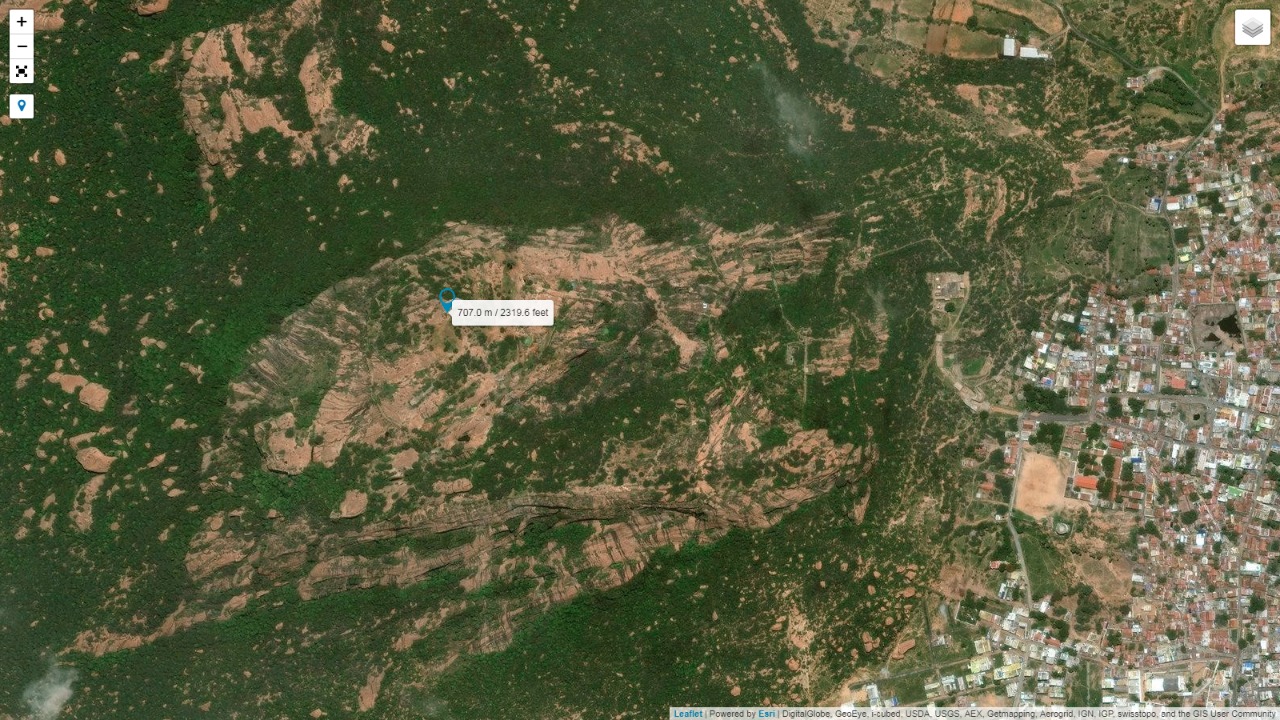
A 15th-century hill fort on the Salem-Erode highway, with fortified gateways and temples within its walls.
37.7 km · ~63 min by cab · straight line
A cliff-edge viewpoint in the Shevaroy Hills near Yercaud offering wide valley views. It is popular for sunrise and sunset and is one of several named lookout points around the Yercaud plateau.
39.2 km · ~65 min by cab · straight line
A government museum in Salem city displaying archaeological finds, inscriptions, arms and mineral specimens from the region.
39.9 km · ~67 min by cab · straight line
Kurumbapatti Zoological Park is a compact wildlife attraction near Salem, set against the Shevaroy foothills and focused on regional birds and animals. Check the park's published schedule, admission details and available enclosures before making a dedicated trip.
40.3 km · ~67 min by cab · straight line
Kottai Mariamman Temple is a prominent Amman shrine in Salem’s old fort area, serving as an active place of worship and an important local landmark. Festival days can bring larger congregations and altered visitor arrangements.
40.6 km · ~68 min by cab · straight lineA Murugan temple about 22 km from Salem on the Tiruchengode road at Kalipatti, dating to around the 18th century. It is described as one of the seven richest temples in the district and draws pilgrims to its Lord Murugan shrine.
40.8 km · ~68 min by cab · straight line
Sugavaneswarar Temple is a historic Shiva shrine in central Salem, valued for its living worship tradition, sculpted halls and Dravidian architecture. Visitors should dress for active worship and follow the temple's current photography and access rules.
41.0 km · ~68 min by cab · straight lineDo not assume this; access depends on current security rules.
No. Storage and release levels vary.
Cool daylight at an authorised viewing area.
Entry: Individual parks or facilities may charge separately. Timings: Public areas and operational restrictions change; confirm locally.
Choose a named public viewpoint or park. Check release and security restrictions on arrival.
Allow one to two hours.
Nearby you can pair Stanley Reservoir (11.1 km), Badrakaliamman Temple (14.9 km), Kalangi Siddhar Temple (34.1 km), Kanjamalai (35.2 km).
Keep away from spillways, edges and restricted operational structures.
Written about Mettur Dam itself — its history, its legends and the arguments about them.


Route-level itineraries and practical guides for the rest of Tamil Nadu.
Photographs: The original uploader was Vvenka1 at English Wikipedia. (CC BY-SA 2.5), Ranjithkanth Tamilselvan J (CC0), Vinoth offl (CC BY-SA 4.0). Wikimedia Commons.