What to expect
Highlights
- The hilltop fort line.
- Views over Ramdurg and the Malaprabha country.
- A close-to-town heritage walk.
Ramdurg Fort occupies the hill above town and is the most direct heritage extension to a Godachi visit.
Its ruined walls and open slopes are unstaffed; the value is the town-and-valley setting rather than restored interiors.
Road km to Belagavi; ghat roads and traffic vary — allow extra.
October to February; early morning.
Live forecast loads in your browser.
Sun and moon are calculated for this location and shown in IST. Photography windows are the hour around sunrise and sunset; the sunset bearing is degrees clockwise from true north. Moon phase is accurate to about half a day.
Verified hotels, homestays, restaurants, experiences, sights, shops and rentals around Ramdurg Fort — commission-free, with direct contact. Filter by what you need.
Central Ramdurg’s mapped government hospital is included as an emergency landmark for travellers making the Godachi road circuit.
Central Ramdurg’s independently mapped police station is a useful safety landmark when travelling to the Godachi jatre.
Book with the place itself. India’s cyber-crime coordination centre warned in April 2025 that convincing copies of hotel and pilgrimage booking sites are being pushed through sponsored search and social ads, taking payment for rooms the property never hears about. Every listing here links to the business’s own contact details and its own Google or Bing profile — we take no commission and sit in nobody’s payment path. If a booking page reached you through an ad, check the address bar against the property’s own site before you pay. Fraud can be reported on cybercrime.gov.in or on 1930.
3 more places around Ramdurg. Open a guide to plan the visit and onward journey.

12.3 km · ~21 min by cab
A living Veerabhadra and Bhadrakali pilgrimage temple at Godachi in Ramdurg taluk, known for its annual jatre. Confirm the current festival dates, worship hours and traffic arrangements locally.
7.6 km · ~19 min by auto
A historic fortified enclosure at Torgal in Ramdurg taluk, a village associated with Vijayanagara and Adil Shahi layers and an old Bhutanatha temple complex.
9.9 km · ~16 min by cab
A small fort at Mudakavi east of Ramdurg, surviving as a local, unstaffed heritage site. Combine it only with a daylight road circuit and expect no visitor facilities.
Roampedia is commission-free — own or know a stay, eatery, guide or shop near Ramdurg Fort? List it and it appears here once verified.
Add a nearby businessA historic fortified enclosure at Torgal in Ramdurg taluk, a village associated with Vijayanagara and Adil Shahi layers and an old Bhutanatha temple complex.
7.6 km · ~19 min by auto · straight lineA small fort at Mudakavi east of Ramdurg, surviving as a local, unstaffed heritage site. Combine it only with a daylight road circuit and expect no visitor facilities.
9.9 km · ~16 min by cab · straight lineA living Veerabhadra and Bhadrakali pilgrimage temple at Godachi in Ramdurg taluk, known for its annual jatre. Confirm the current festival dates, worship hours and traffic arrangements locally.
12.3 km · ~21 min by cab · straight line
A cluster of 11th–12th-century Kalyani-Chalukya and Ratta temples at Huli (Hooli) in Saundatti taluk, the Panchalingeshwara temple among them — richly carved, protected shrines of the region’s temple-building golden age.
20.0 km · ~33 min by cab · straight lineA small historic fort at Munavalli north of Saundatti, mapped around a surviving walled enclosure. Treat it as an unstaffed local heritage stop rather than a serviced monument.
20.7 km · ~35 min by cab · straight line
The Malaprabha dam and Renuka Sagara reservoir at Navilutirtha, which the Belagavi district administration places 10 km from Saundatti in a valley between two hills.
25.1 km · ~42 min by cab · straight line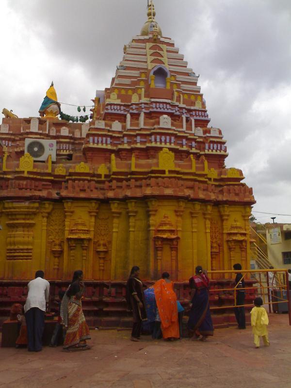
The Renuka–Yellamma temple on Yellammana Gudda, about 5 km from Saundatti. Belagavi district dates the present temple to 1514; its jatres require current crowd and transport planning.
26.0 km · ~43 min by cab · straight line
The walled fort in Saundatti town, a compact historic stop close to the market streets. It is distinct from Parasgad Fort south of town.
27.6 km · ~46 min by cab · straight line
A hill fort south of Saundatti linked to the Desai chiefs and later the Marathas, its broken walls occupying an exposed ridge above the Malaprabha country.
29.0 km · ~48 min by cab · straight line
A 52 m horseshoe fall where the Ghataprabha plunges over a sandstone gorge in Gokak taluk — the 'Niagara of Karnataka' — spanned by a colonial hanging footbridge and site of one of India's earliest hydro-electric works (1887).
61.4 km · ~102 min by cab · straight line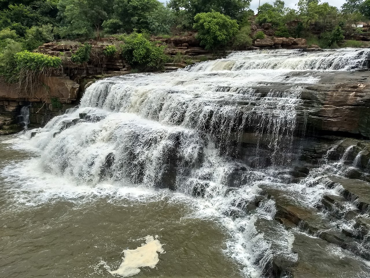
A two-tier waterfall where the Markandeya river drops through a forested valley near Gokak, also called Markandeya Falls; reached by a short trek and fullest after the monsoon.
63.4 km · ~106 min by cab · straight line
The fort and palace ruins of the Desai chiefs of Kittur, where in 1824 Rani Chennamma led one of the earliest armed revolts against the British East India Company; the on-site museum holds arms, coins and sculptures from the fort.
65.9 km · ~110 min by cab · straight lineOctober to February; early morning.
Ask locally for the current public approach and climb only in daylight. Carry water and turn back if the path is overgrown.
1 to 1.5 hours.
Nearby you can pair Torgal Fort (7.6 km), Mudakavi Fort (9.9 km), Godachi Veerabhadreshwara Temple (12.3 km), Hooli Panchalingeshwara Temples (20.0 km).
Written about Ramdurg Fort itself — its history, its legends and the arguments about them.
These guides explore Ramdurg and the surrounding area. Choose a visit that fits your interests, allowing separately for travel between stops.


Route-level itineraries and practical guides for the rest of Karnataka.


