What to expect
Highlights
- Follow the walls as they respond to the hill.
- Visit the summit temple respectfully.
- Use the view to understand the surrounding plain.
- Notice water and defensive features only from safe established ground.
Channagiri Fort is the old hill fort above Channagiri town, with ruined walls, the living Bete Ranganathaswami shrine and broad views across the Davanagere plains.

Channagiri Fort walls following the hill above town.
Davanagere district identifies the fort with Queen Chennammaji and places a Bete Ranganathaswami temple on the hill. Read those elements together: this is both a ruined defensive landscape and a living sacred summit.
The surviving walls follow the hill rather than forming a level museum circuit. The climb, loose stone and exposed weather are central planning facts, not small print after the history.
Channagiri Fort is the old hill fort above Channagiri town, with ruined walls, the living Bete Ranganathaswami shrine and broad views across the Davanagere plains.
Davanagere district identifies the fort with Queen Chennammaji and places a Bete Ranganathaswami temple on the hill. Read those elements together: this is both a ruined defensive landscape and a living sacred summit.
The surviving walls follow the hill rather than forming a level museum circuit. The climb, loose stone and exposed weather are central planning facts, not small print after the history.
The summit view explains the site’s strategic position over the plain. Stay on established approaches and do not climb unstable masonry to gain a slightly higher photograph.
A strong Channagiri day pairs the fort with one ground-level place such as Shanti Sagara or Santhebennur, leaving enough daylight for both instead of stacking distant stops.
The summit temple is an active place of worship; remove footwear and follow local instructions.
Stories about Queen Chennammaji belong to the fort’s local historical memory; distinguish them from unsupported claims about surviving structures.
The district administration attributes the old hill fort to Queen Chennammaji.
Bete Ranganathaswami Temple remains a religious focus on the hill.
Ruined ramparts document the defensive site, but unsupported dates or dynastic sequences should not be reconstructed from travel blogs.
Explore a less formal hill fort without expecting museum infrastructure.
Connect Channagiri town with Queen Chennammaji’s local memory.
Combine defensive remains, worship and landscape.
Build a compact circuit with Shanti Sagara or Santhebennur.
October to February, in early morning or late afternoon. Avoid the exposed midday climb and reconsider after heavy rain.
Live forecast loads in your browser.
Sunset is in about 54 minutes.
Sun and moon are calculated for this location and shown in IST. Photography windows are the hour around sunrise and sunset; the sunset bearing is degrees clockwise from true north. Moon phase is accurate to about half a day.
Browse local stays, food, activities and useful shops. Confirm current service directly; rural options identify their own locality.
Channagiri Fort is the ruined hill fort directly above town, attributed by the district administration to Queen Chennammaji and crowned by the Bete Ranganathaswami temple.

Sulekere, officially Shanti Sagara, is the historic reservoir north of Channagiri credited to Princess Shantavva; use established daylight viewpoints and keep clear of open water edges.

Santhebennur Pushkarini is the historic stepped tank locally called the Honda, with a Vasantha pavilion at its centre and the granite Musafirkhana nearby.
Book with the place itself. India’s cyber-crime coordination centre warned in April 2025 that convincing copies of hotel and pilgrimage booking sites are being pushed through sponsored search and social ads, taking payment for rooms the property never hears about. Every listing here links to the business’s own contact details and its own Google or Bing profile — we take no commission and sit in nobody’s payment path. If a booking page reached you through an ad, check the address bar against the property’s own site before you pay. Fraud can be reported on cybercrime.gov.in or on 1930.
Choose a local circuit or a separate road outing. Check worship, market and forest access independently; these places do not share one admission or timetable.
OpenStreetMap view centred on Shahaji Bhonsale Tomb, Hodigere; the marker identifies the mapped subject, not a guaranteed public entrance.
heritageShahaji Bhonsale Tomb, HodigereA memorial (samadhi) at Hodigere to Shahaji Bhonsale, the father of Chhatrapati Shivaji, who died here in a 1664 hunting accident — a quiet historic monument in the Channagiri country.

Shanti Sagara
lakeShanti SagaraAlso called Sulekere, one of the largest irrigation tanks in Asia, built around 1128 CE with a circumference of some 30 km near Channagiri — a vast birdlife-rich lake with a Siddeshwara temple on its embankment.

Santhebennur Pushkarini
heritageSanthebennur PushkariniAn ornate 16th-century stepped temple tank at Santhebennur, built by the Kenga Hanumantappa Nayaka chieftains, with a pillared pavilion rising from the water and a granite Musafirkhana mosque alongside.
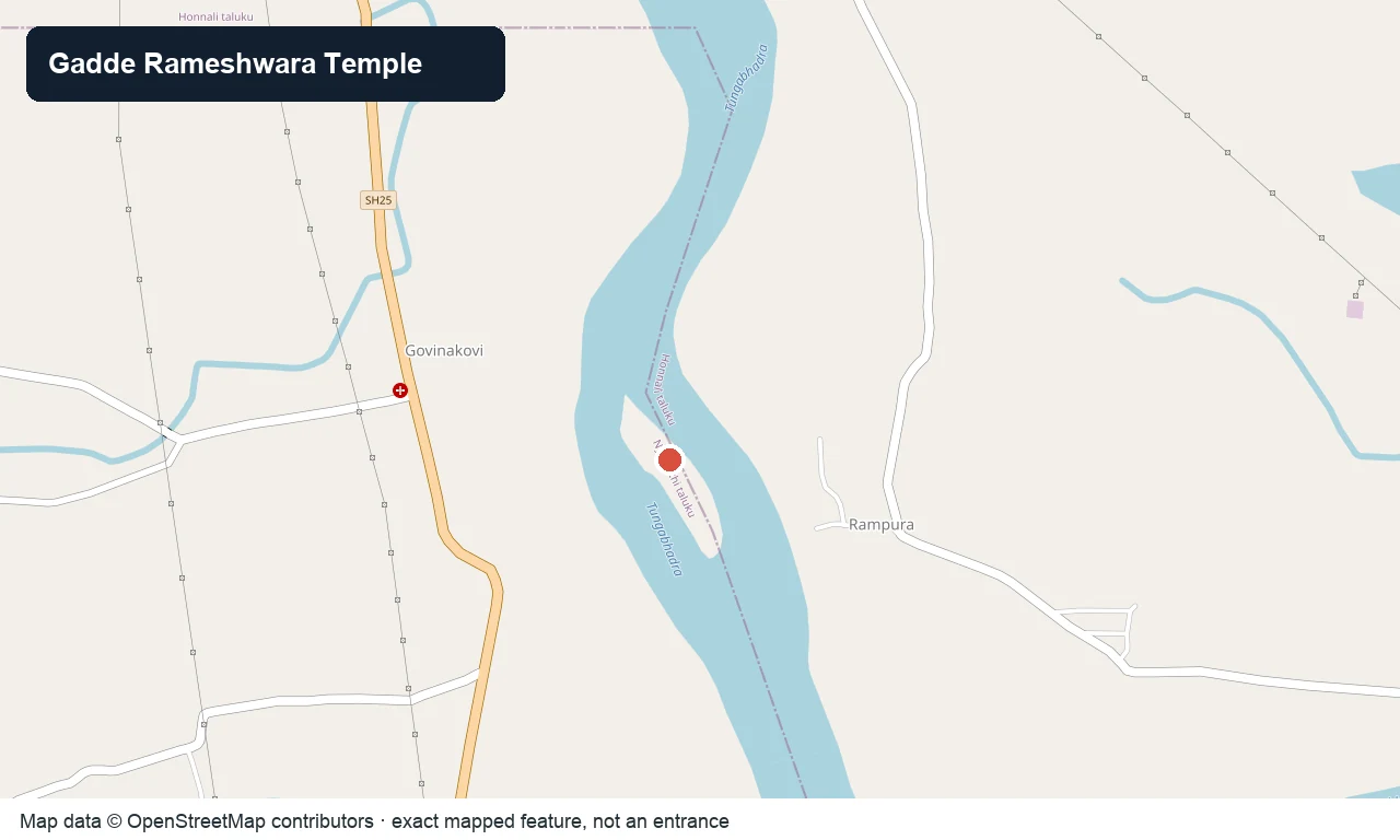
OpenStreetMap view centred on Kuruvada Gadde and its Rameshwara temple; the marker is not a safe crossing point.
templeGadde Rameshwara Temple, KuruvaA Rameshwara (Shiva) temple on a small island in the Tungabhadra near Kuruva, south-east of Honnali, linked in legend to the Ramayana — reached across the river when the water is low.
Roampedia is commission-free — own or know a stay, eatery, guide or shop near Channagiri Fort? List it and it appears here once verified.
Add a nearby businessEntry: No current official admission tariff is published for the open hill approach. Temple offerings, if any, are separate.
Photography: Photograph from stable ground. Ask before temple interiors or worship and do not climb walls for a viewpoint.
Parking: Confirm the established base parking or drop-off locally; do not drive onto an unverified track or block the approach.
Walk only on the established hill approach. Use an auto or retained vehicle around town and keep it for Shanti Sagara, Santhebennur or Hodigere.
Online taxis: Do not assume an app taxi will accept the pickup. Confirm the return before arrival and retain a vehicle where Channagiri Fort lies outside a busy town centre.
If you are travelling by bus or ferry, check the return service with the operator before setting out. Leave time to reach the stop or jetty after your visit.
Ask at the jetty or stand for the time of the last service back, not the next one. If you miss it, an auto or app cab is the fallback — agree the fare before you get in.
Checked 5 September 2026 against source 1source 2. Conditions change and surfaces vary with weather — if step-free access is essential, confirm with the site before you travel.
These services are listed within about 1.2 km of Channagiri Fort. Walking distances follow mapped routes; access and opening hours can change. Other services may be closer but are not included here.
Emergency numbers are verified against official government and state tourism sources. 112 works anywhere in India.
Return to Channagiri town for food rather than depending on the exposed hill. Davanagere district identifies benne dosa as a regional speciality.
Explore food in Channagiri →Try it at a busy town or Davanagere restaurant; quality and opening vary by business.
Carry these from town and remove all packaging.
Local stops come first, followed by separate district outings. Check each place’s own access and return journey; this is a choice of visits, not a single walking circuit.
OpenStreetMap view centred on Shahaji Bhonsale Tomb, Hodigere; the marker identifies the mapped subject, not a guaranteed public entrance.
heritageShahaji Bhonsale Tomb, HodigereA memorial (samadhi) at Hodigere to Shahaji Bhonsale, the father of Chhatrapati Shivaji, who died here in a 1664 hunting accident — a quiet historic monument in the Channagiri country.
Shanti Sagara
lakeShanti SagaraAlso called Sulekere, one of the largest irrigation tanks in Asia, built around 1128 CE with a circumference of some 30 km near Channagiri — a vast birdlife-rich lake with a Siddeshwara temple on its embankment.
Santhebennur Pushkarini
heritageSanthebennur PushkariniAn ornate 16th-century stepped temple tank at Santhebennur, built by the Kenga Hanumantappa Nayaka chieftains, with a pillared pavilion rising from the water and a granite Musafirkhana mosque alongside.
OpenStreetMap view centred on Kuruvada Gadde and its Rameshwara temple; the marker is not a safe crossing point.
templeGadde Rameshwara Temple, KuruvaA Rameshwara (Shiva) temple on a small island in the Tungabhadra near Kuruva, south-east of Honnali, linked in legend to the Ramayana — reached across the river when the water is low.

Paddy fields photographed beside Hadadi, showing the working rural landscape around the lake rather than a visitor entrance.
lakeHadadi LakeA lake with a monsoon-season waterfall in the Hadadi hobli south of Davanagere city, a quiet local outing spot after the rains.
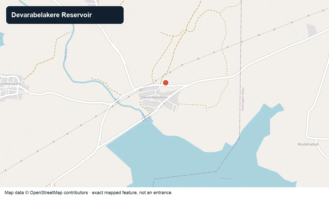
OpenStreetMap view centred on Devarabelakere Reservoir; the marker identifies the waterworks, not public access.
damDevarabelakere ReservoirA balancing reservoir on the Tungabhadra system near Devarabelakere, downstream of the Bhadra dam — a calm waterbody and picnic stop in the Harihar country.
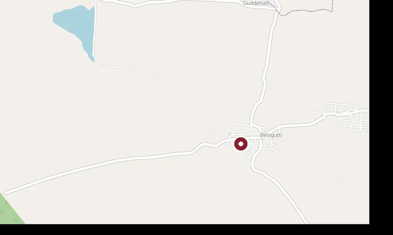
OpenStreetMap view centred on Thirtharameshwara Temple, Belagutti; the marker identifies the mapped subject, not a guaranteed public entrance.
templeThirtharameshwara Temple, BelaguttiA rare temple at Belagutti with a Brahma shrine — an unusual dedication in India — and a perennial holy spring (thirtha), in the Honnali–Nyamati country west of Davanagere.
OpenStreetMap view centred on Kunduvada Kere; the marker identifies the mapped subject, not a guaranteed public entrance.
lakeKunduvada KereA large tank on the western edge of Davanagere city, ringed by a walking path and the Glass House horticultural pavilion — the city’s main evening and birding spot.
Nearby toilets, pharmacies, ATMs, seating and vets are community-mapped and may be incomplete or out of date. Map data © OpenStreetMap contributors | Walking times © openrouteservice.org by HeiGIT
The locator identifies the temple precinct. Use the currently open worship entrance and follow any procession diversions.
Channagiri Fort is the old hill fort above Channagiri town, with ruined walls, the living Bete Ranganathaswami shrine and broad views across the Davanagere plains.
Reach Channagiri town, confirm the established fort approach locally and stop at the safe base rather than routing to the hill-centre coordinate. Use current bus information to reach Channagiri and confirm the last return before starting the climb.
October to February, in early morning or late afternoon. Avoid the exposed midday climb and reconsider after heavy rain.
No current official admission tariff is published for the open hill approach. Temple offerings, if any, are separate.
No staffed daily visitor schedule is published. Visit only in useful daylight and confirm any gate or temple opening locally.
The summit requires an uneven climb and no step-free route is documented. A meaningful alternative is a ground-level view of the hill combined with accessible parts of the town or reservoir circuit.
October to February, in early morning or late afternoon. Avoid the exposed midday climb and reconsider after heavy rain.
Entry: No current official admission tariff is published for the open hill approach. Temple offerings, if any, are separate. Timings: No staffed daily visitor schedule is published. Visit only in useful daylight and confirm any gate or temple opening locally.
Allow two to three hours for an unhurried ascent, summit and careful descent.
Nearby you can pair Shahaji Bhonsale Tomb, Hodigere, Shanti Sagara, Santhebennur Pushkarini, Gadde Rameshwara Temple, Kuruva.
The route is uneven, exposed and not step-free; avoid wet rock and unstable walls. Carry water, sun protection and a charged phone. Do not remain on the hill after useful daylight or depend on finding return transport at the summit.
Local stories and practical reading for a visit to Channagiri Fort and its surroundings.

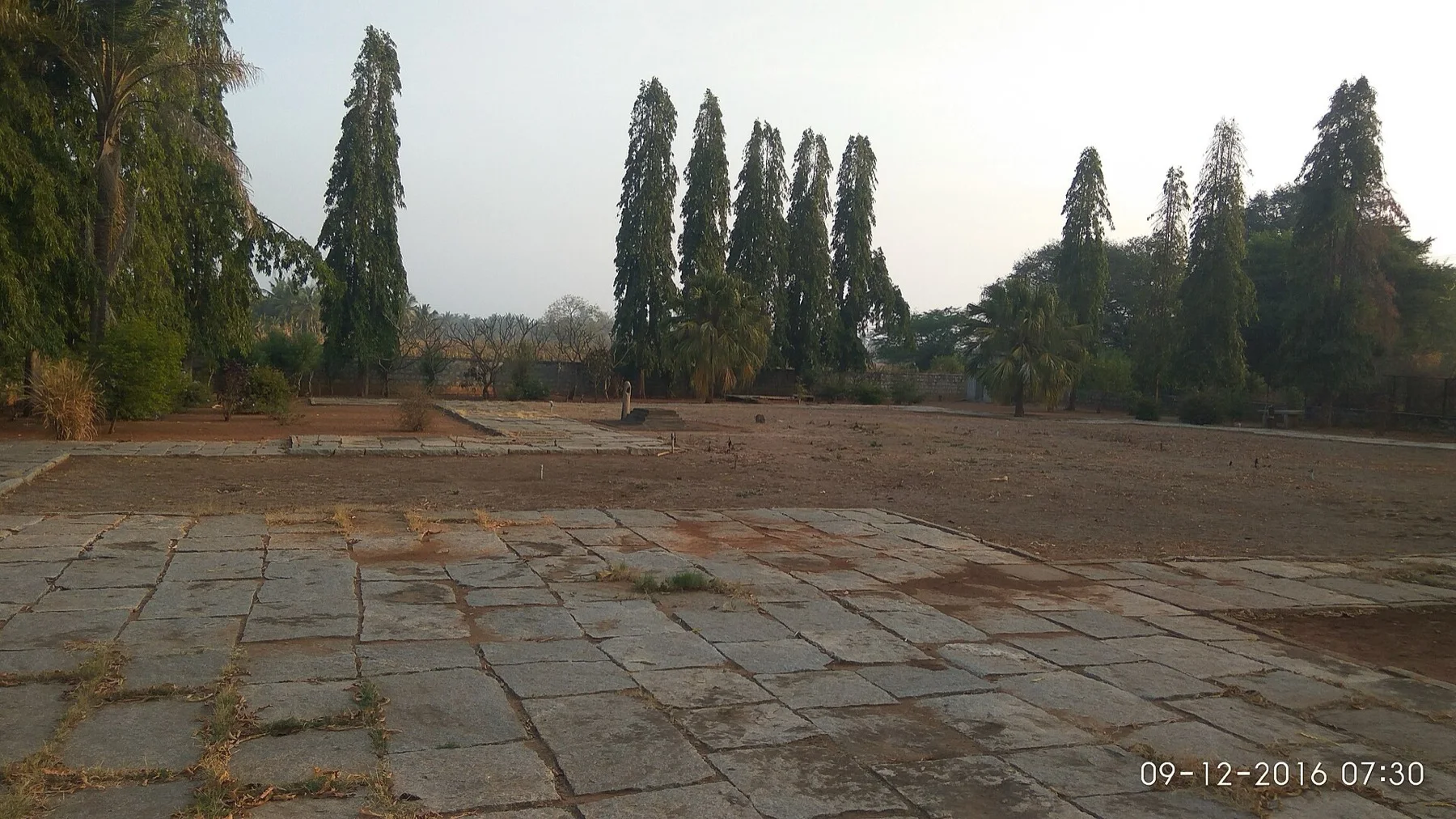
Channagiri town and its hill landscape.

A documented view in Channagiri, providing town context for the fort story.

The open Channagiri landscape, where heat and visibility shape a fort climb.

Ketesvara Temple at Kalleshwara in the Channagiri region, a separate ground-level heritage stop.
Photographs: Nataraj KV (CC BY-SA 4.0), © OpenStreetMap contributors, ODbL (ODbL), Siddarth.P.Raj, CC BY-SA 3.0, via Wikimedia Commons (CC BY-SA 3.0), Mukherjee Sujata, CC BY-SA 4.0, via Wikimedia Commons (CC BY-SA 4.0), OpenStreetMap contributors (ODbL 1.0), Irrigator (CC BY-SA 3.0), Guruprasad103, CC BY-SA 4.0, via Wikimedia Commons, Ashwin Kumar, CC BY 2.0, via Wikimedia Commons, Ms Sarah Welch, CC0, via Wikimedia Commons. Wikimedia Commons.