What to expect
Highlights
- View the reservoir from a lawful public road point.
- Understand the joined streams and irrigation purpose.
- Observe seasonal water and bird activity quietly.
- Connect the stop with Harihara’s temple and river history.
Devarabelakere is an operational irrigation reservoir in Harihara taluk, formed across the joined Shyagale and Shantisagara streams before their water reaches the Tungabhadra system.
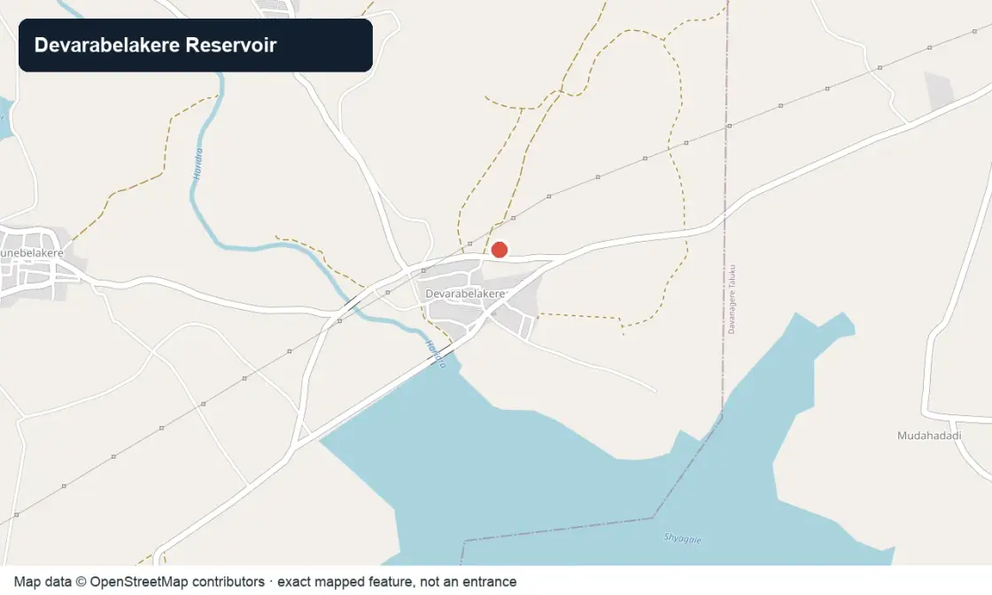
OpenStreetMap view centred on Devarabelakere Reservoir; the marker identifies the waterworks, not public access.
The attraction is the working water landscape: dam alignment, changing reservoir edge, cultivated command area and seasonal overflow. It is not a swimming lake or a guaranteed picnic facility.
Central Water Commission guidance identifies the project as a Karnataka Neeravari Nigam facility begun in 1978–79 and completed in 1986–87. It records the structure near Devarabelakere village across tributary streams in the Krishna basin.
A 2025 Karnataka State Council for Science and Technology district report lists the reservoir among Davanagere’s principal irrigation resources. Those operational facts matter more than repeated tourism superlatives.
Devarabelakere is an operational irrigation reservoir in Harihara taluk, formed across the joined Shyagale and Shantisagara streams before their water reaches the Tungabhadra system.
The attraction is the working water landscape: dam alignment, changing reservoir edge, cultivated command area and seasonal overflow. It is not a swimming lake or a guaranteed picnic facility.
Check rainfall, releases and local access before leaving Harihara.
Choose a stable public viewpoint well away from gates, spillways and soft banks.
Retain the vehicle and leave before dusk; do not attempt to walk around the reservoir.
The reservoir supports farming and inland fisheries in a working rural economy. Visitors should give operators, fishers and agricultural traffic priority and avoid turning livelihood areas into informal recreation zones.
Central Water Commission guidance identifies the project as a Karnataka Neeravari Nigam facility begun in 1978–79 and completed in 1986–87. It records the structure near Devarabelakere village across tributary streams in the Krishna basin.
A 2025 Karnataka State Council for Science and Technology district report lists the reservoir among Davanagere’s principal irrigation resources. Those operational facts matter more than repeated tourism superlatives.
View the reservoir from a lawful public road point.
Understand the joined streams and irrigation purpose.
Observe seasonal water and bird activity quietly.
Connect the stop with Harihara’s temple and river history.
October to February in morning or late afternoon; post-monsoon water can be attractive but releases and wet banks require extra caution.
Live forecast loads in your browser.
Sun and moon are calculated for this location and shown in IST. Photography windows are the hour around sunrise and sunset; the sunset bearing is degrees clockwise from true north. Moon phase is accurate to about half a day.
Browse local stays, food, activities and useful shops. Confirm current service directly; rural options identify their own locality.
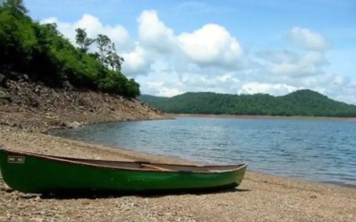
Lake and outdoor-training landscape north-east of Harihara; confirm current public access.
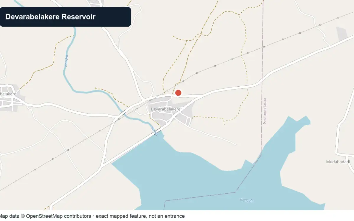
Operational irrigation reservoir visited only from a lawful public viewpoint away from gates.
Living religious and community institution near Harihara; confirm visitor areas before arrival.
Book with the place itself. India’s cyber-crime coordination centre warned in April 2025 that convincing copies of hotel and pilgrimage booking sites are being pushed through sponsored search and social ads, taking payment for rooms the property never hears about. Every listing here links to the business’s own contact details and its own Google or Bing profile — we take no commission and sit in nobody’s payment path. If a booking page reached you through an ad, check the address bar against the property’s own site before you pay. Fraud can be reported on cybercrime.gov.in or on 1930.
Choose a local circuit or a separate road outing. Check worship, market and forest access independently; these places do not share one admission or timetable.
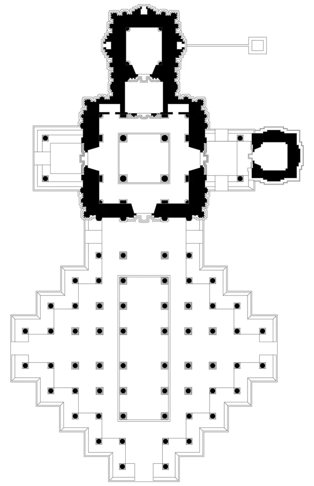
Harihareshwara Temple.
Hoysala templeHarihareshwara TempleThe riverbank temple anchors Harihara’s heritage.
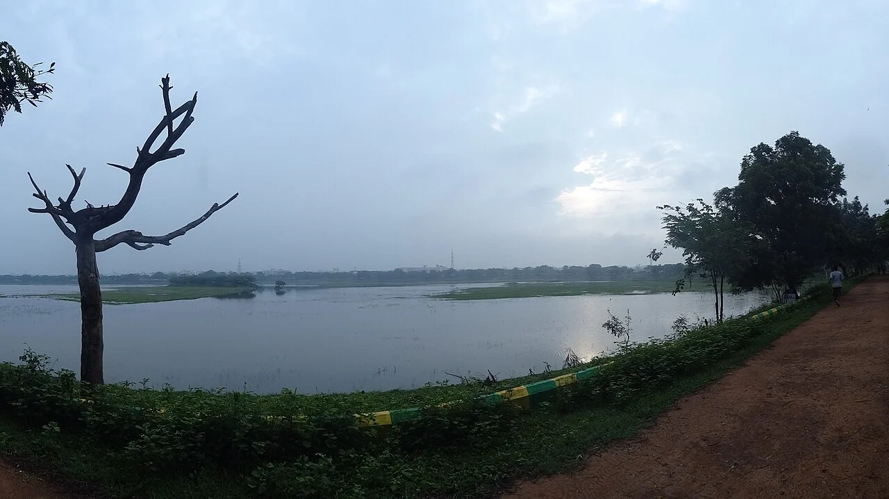
Kondajji Lake.
lake and training centreKondajji LakeA separate lake with institutional outdoor activity; confirm public access.
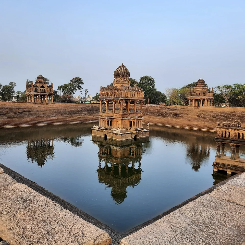
Santhebennur Pushkarini.
historic tankSanthebennur PushkariniA distant but well-documented stepped tank with its own road journey.
Roampedia is commission-free — own or know a stay, eatery, guide or shop near Devarabelakere Reservoir? List it and it appears here once verified.
Add a nearby businessEntry: No tourism ticket is published. Operational restrictions and private land boundaries still apply.
Photography: Photograph only from public ground and comply immediately with any security restriction around infrastructure.
Parking: Do not stop on the dam, bridge, gate approach or narrow farm road; use a place specifically indicated locally.
Check rainfall, releases and local access before leaving Harihara.
Online taxis: Do not depend on an app pickup at Devarabelakere Reservoir; arrange the return in advance when leaving the town centre.
If you are travelling by bus or ferry, check the return service with the operator before setting out. Leave time to reach the stop or jetty after your visit.
Ask at the jetty or stand for the time of the last service back, not the next one. If you miss it, an auto or app cab is the fallback — agree the fare before you get in.
Checked 6 September 2026 against source 1source 2source 3. Conditions change and surfaces vary with weather — if step-free access is essential, confirm with the site before you travel.
For toilets, drinking water or a cash machine, ask at the site or a nearby business. No local service locations are available on this page.
Emergency numbers are verified against official government and state tourism sources. 112 works anywhere in India.
Use harihara or the nearest town centre for dependable meals and drinking water; do not assume an unstaffed site has refreshments.
Explore food in Harihara →Choose a busy current town restaurant for idli, dosa or other fresh tiffin before departure.
Plan lunch around the town rather than carrying uncovered food into a shrine, wetland or archaeological site.
Local stops come first, followed by separate district outings. Check each place’s own access and return journey; this is a choice of visits, not a single walking circuit.

Paddy fields photographed beside Hadadi, showing the working rural landscape around the lake rather than a visitor entrance.
lakeHadadi LakeA lake with a monsoon-season waterfall in the Hadadi hobli south of Davanagere city, a quiet local outing spot after the rains.
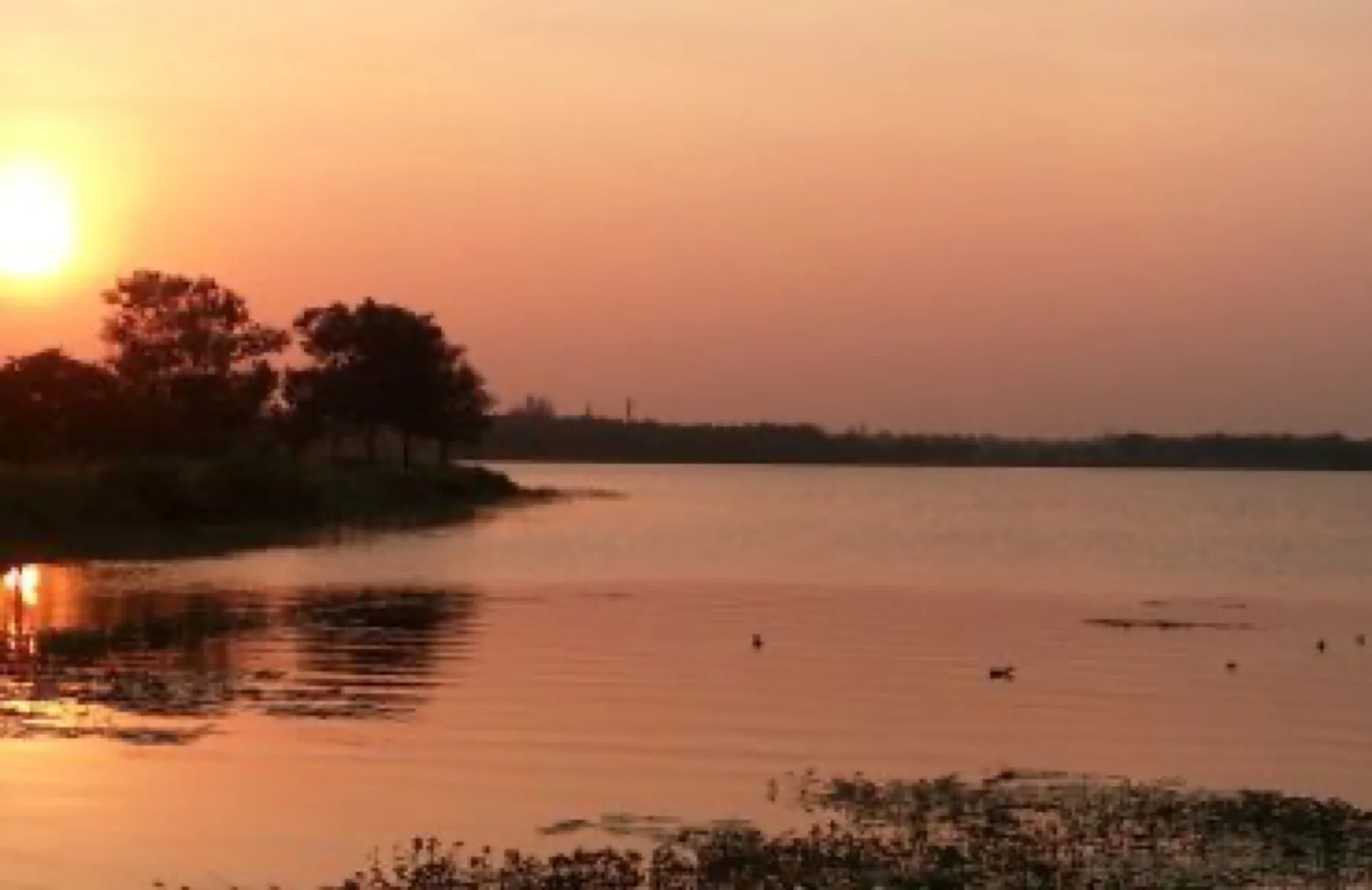
OpenStreetMap view centred on Kunduvada Kere; the marker identifies the mapped subject, not a guaranteed public entrance.
lakeKunduvada KereA large tank on the western edge of Davanagere city, ringed by a walking path and the Glass House horticultural pavilion — the city’s main evening and birding spot.
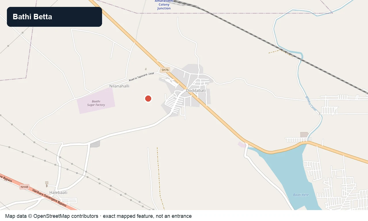
OpenStreetMap view centred on Bathi Betta between Davanagere and Harihara; confirm the trailhead locally.
viewpointBathi BettaA rocky hill about 4 km from Davanagere toward Harihara, with a hillside Revana Siddeshwara (Shiva) shrine and wide views over the city and the surrounding paddy country — a popular sunrise and sunset climb.

Harihareshwara Temple
templeHarihareshwara TempleThe flagship of the district — a 1223 CE Hoysala temple on the Tungabhadra bank at Harihar, about 14 km from Davanagere, dedicated to Harihara (Shiva and Vishnu combined in one form), with fine Hoysala sculpture and an ASI heritage tag.
OpenStreetMap view centred on Kondajji Lake; the marker identifies the mapped subject, not a guaranteed public entrance.
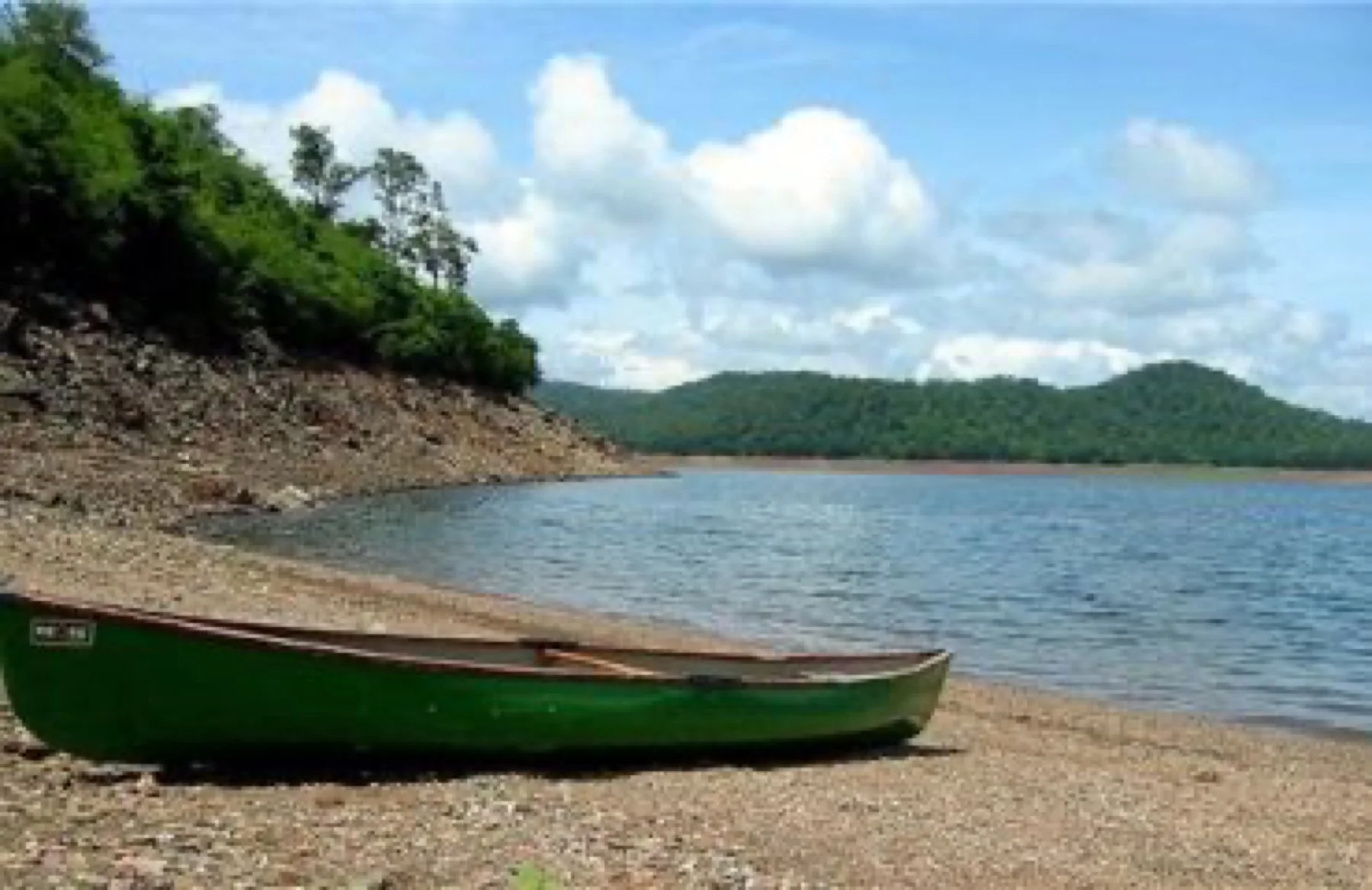
lakeKondajji LakeA lake ringed by hillocks near Kondajji north of Harihar, home to a large Bharat Scouts and Guides adventure and training camp — a spot for boating, mild trekking and outdoor camps.
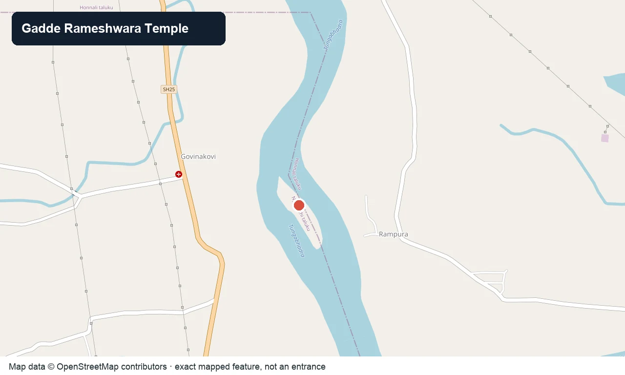
OpenStreetMap view centred on Kuruvada Gadde and its Rameshwara temple; the marker is not a safe crossing point.
templeGadde Rameshwara Temple, KuruvaA Rameshwara (Shiva) temple on a small island in the Tungabhadra near Kuruva, south-east of Honnali, linked in legend to the Ramayana — reached across the river when the water is low.

Shanti Sagara
lakeShanti SagaraAlso called Sulekere, one of the largest irrigation tanks in Asia, built around 1128 CE with a circumference of some 30 km near Channagiri — a vast birdlife-rich lake with a Siddeshwara temple on its embankment.

Santhebennur Pushkarini
heritageSanthebennur PushkariniAn ornate 16th-century stepped temple tank at Santhebennur, built by the Kenga Hanumantappa Nayaka chieftains, with a pillared pavilion rising from the water and a granite Musafirkhana mosque alongside.
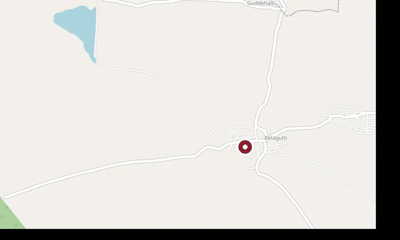
OpenStreetMap view centred on Thirtharameshwara Temple, Belagutti; the marker identifies the mapped subject, not a guaranteed public entrance.
templeThirtharameshwara Temple, BelaguttiA rare temple at Belagutti with a Brahma shrine — an unusual dedication in India — and a perennial holy spring (thirtha), in the Honnali–Nyamati country west of Davanagere.

Channagiri Fort walls following the hill above town.
fortChannagiri FortAn 18th-century hill fort above Channagiri town, associated with the Keladi Nayaka tradition, with ruined ramparts, a hilltop shrine and wide views over the plains.
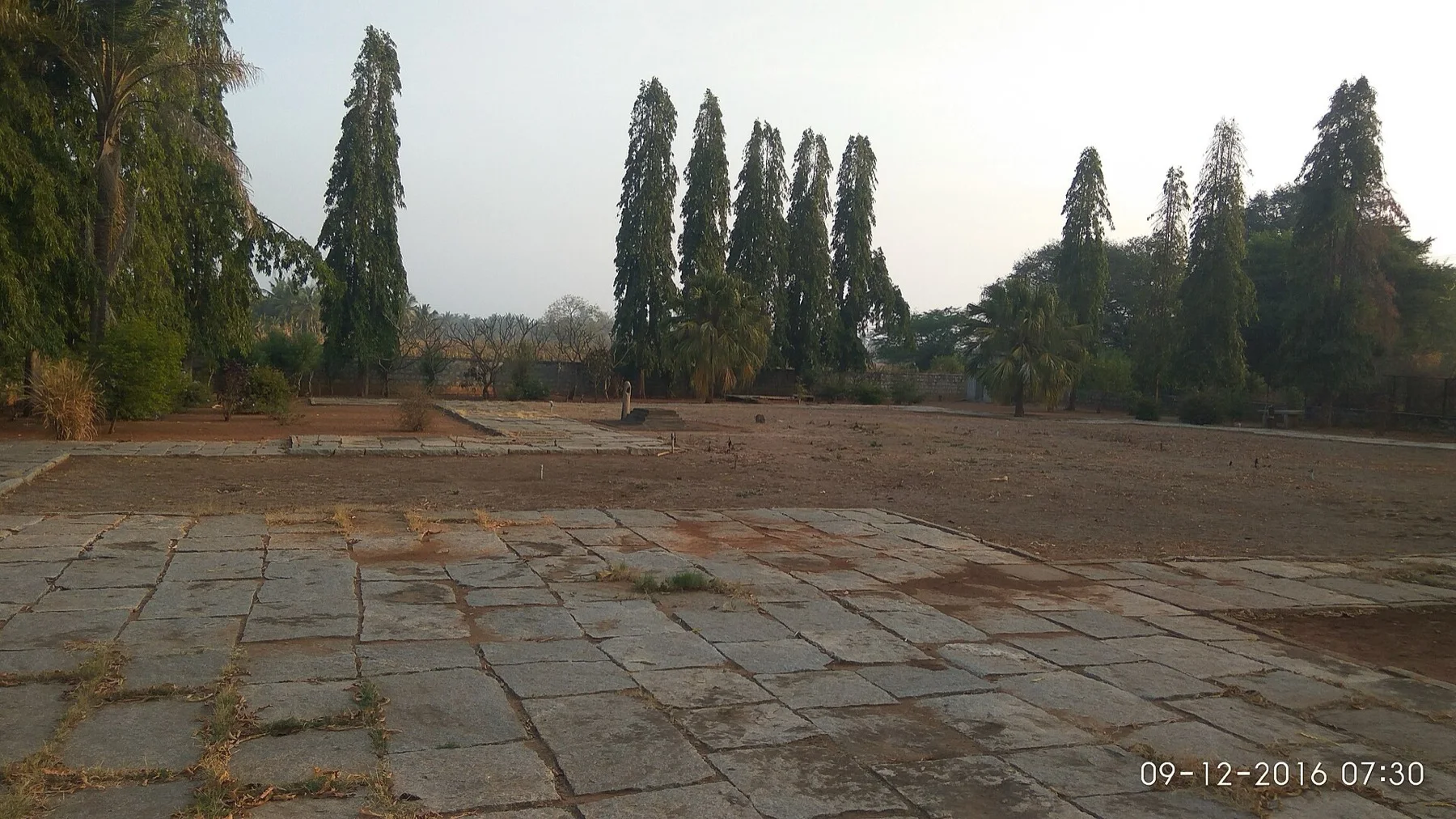
OpenStreetMap view centred on Shahaji Bhonsale Tomb, Hodigere; the marker identifies the mapped subject, not a guaranteed public entrance.
heritageShahaji Bhonsale Tomb, HodigereA memorial (samadhi) at Hodigere to Shahaji Bhonsale, the father of Chhatrapati Shivaji, who died here in a 1664 hunting accident — a quiet historic monument in the Channagiri country.

Rangayyanadurga Four-horned Antelope Sanctuary
wildlifeRangayyanadurga Four-horned Antelope SanctuaryKarnataka’s only four-horned antelope (chousingha) sanctuary, notified in 2011 in the hills of Jagalur taluk — a dry-forest reserve also sheltering sloth bear, pangolin, hyena and blackbuck.
Nearby toilets, pharmacies, ATMs, seating and vets are community-mapped and may be incomplete or out of date. Map data © OpenStreetMap contributors | Walking times © openrouteservice.org by HeiGIT
The locator identifies the temple precinct. Use the currently open worship entrance and follow any procession diversions.
Devarabelakere is an operational irrigation reservoir in Harihara taluk, formed across the joined Shyagale and Shantisagara streams before their water reaches the Tungabhadra system.
The attraction is the working water landscape: dam alignment, changing reservoir edge, cultivated command area and seasonal overflow. It is not a swimming lake or a guaranteed picnic facility.
The official engineering reference places the dam at 14°24′N, 75°50′E. Treat this as the structure location, not a public entrance. Reach Harihara or Malebennur by regional bus, then use a retained local vehicle; do not depend on a roadside return pickup.
No visitor hours are published because this is working infrastructure. Visit only from a lawful daylight viewpoint and obey staff or police directions.
No tourism ticket is published. Operational restrictions and private land boundaries still apply.
A road-level reservoir view may be possible from inside a vehicle, but no protected wheelchair platform or accessible toilet is verified.
October to February in morning or late afternoon; post-monsoon water can be attractive but releases and wet banks require extra caution.
Entry: No tourism ticket is published. Operational restrictions and private land boundaries still apply. Timings: No visitor hours are published because this is working infrastructure. Visit only from a lawful daylight viewpoint and obey staff or police directions.
Allow 45–75 minutes at a public viewpoint.
Nearby you can pair Hadadi Lake, Kunduvada Kere, Bathi Betta, Harihareshwara Temple.
Never swim, wade, fish without authority or enter the spillway and gate zone. Water releases, deep mud and unguarded edges can change without warning.
Local stories and practical reading for a visit to Devarabelakere Reservoir and its surroundings.
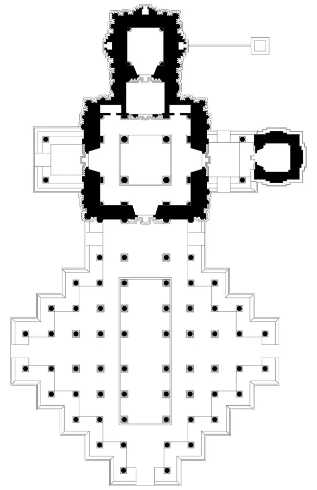
A distinct nearby subject used to explain the local circuit: Harihareswara temple and Hindu monastery, Harihara Karnataka.
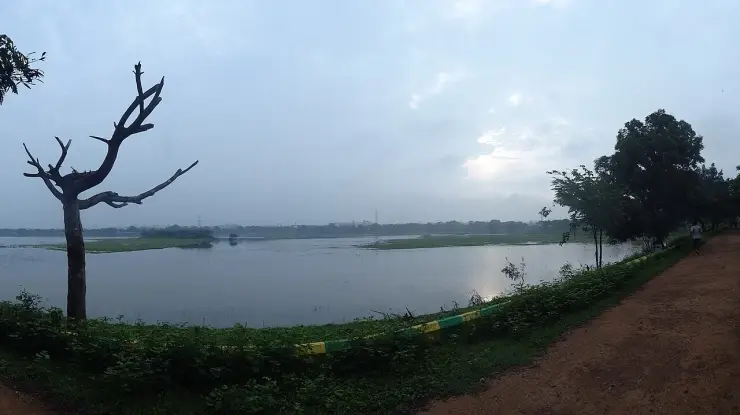
A distinct nearby subject used to explain the local circuit: Kundawada Kere(Lake) Davanagere.
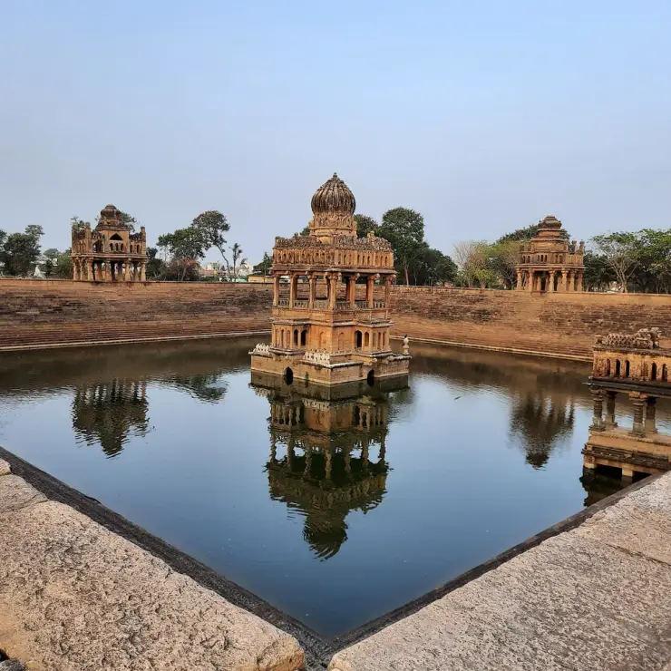
A distinct nearby subject used to explain the local circuit: Santhebennur.
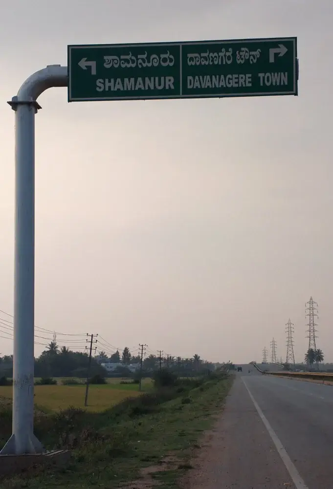
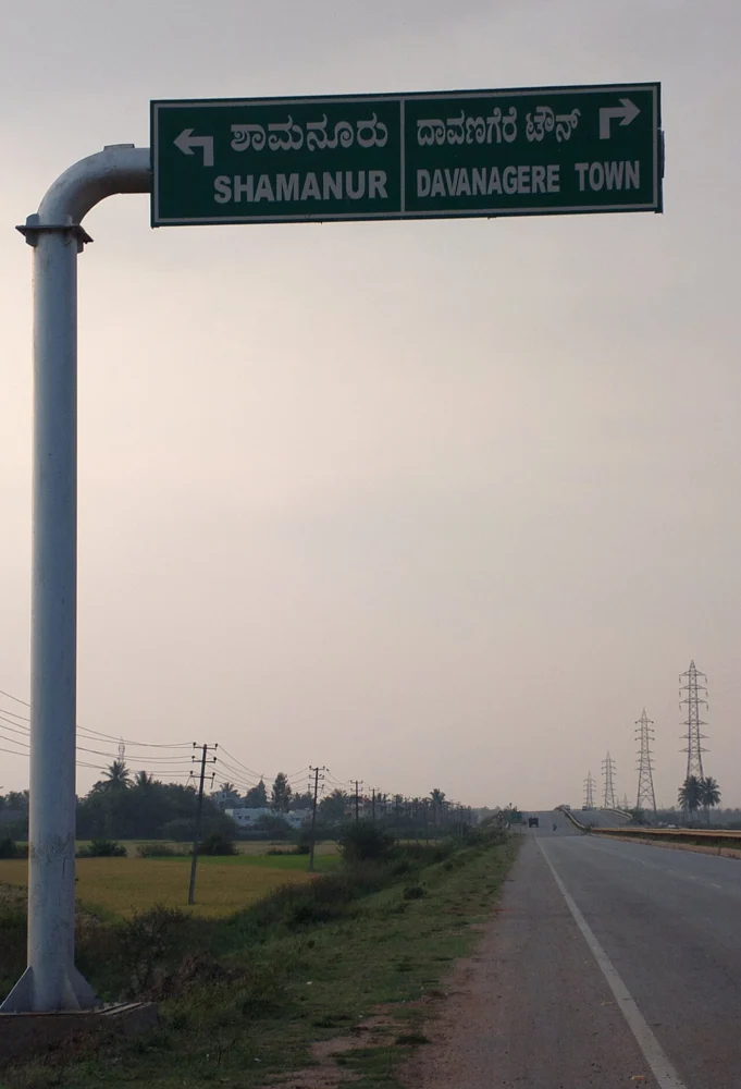
A distinct nearby subject used to explain the local circuit: Shaamanur.
Photographs: OpenStreetMap contributors (ODbL 1.0), Dineshkannambadi, CC BY-SA 4.0, via Wikimedia Commons (CC BY-SA 4.0), © OpenStreetMap contributors, ODbL (ODbL), Mukherjee Sujata, CC BY-SA 4.0, via Wikimedia Commons (CC BY-SA 4.0), Irrigator (CC BY-SA 3.0), Siddarth.P.Raj, CC BY-SA 3.0, via Wikimedia Commons (CC BY-SA 3.0), Nataraj KV (CC BY-SA 4.0), Dr. Raju Kasambe, CC BY-SA 4.0, via Wikimedia Commons (CC BY-SA 4.0), Wikimedia Commons contributor; see source page for licence. Wikimedia Commons.