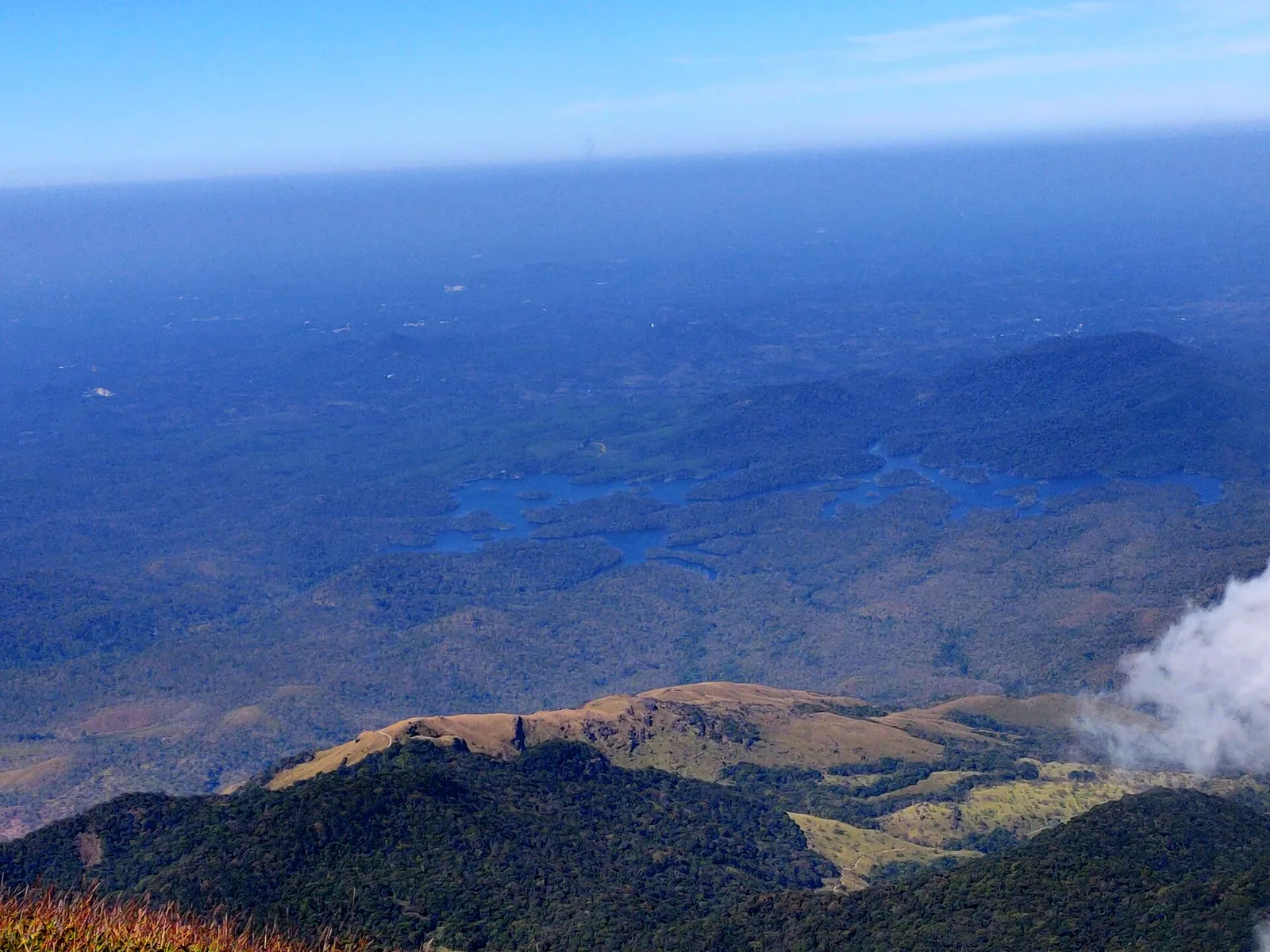
Agasthyarkoodam is a prominent summit of Kerala’s far south. One Kerala Tourism destination page calls it the state’s second-highest peak. The same department gives that ranking to Meesapulimala elsewhere, while published heights put Meesapulimala far above Agasthyarkoodam. The contradiction is more than a travel-writing footnote: it shows how a memorable label can displace the geography a visitor came to understand.
Put the elevations beside each other
Kerala Forest Department statistics list Agastyarkoodam at 1,868 metres. Kerala Tourism gives Meesapulimala about 2,640 metres and Anamudi roughly 2,695 metres. On those figures alone, the southern peak cannot be Kerala’s second-highest. Different surveys may handle minor summits differently, but a difference of more than 700 metres is not a rounding issue.
The ranking becomes especially misleading when it makes the southern highlands sound like a copy of Idukki’s much taller ranges. Agasthyarkoodam’s significance is regional and cultural as well as topographic. A list of heights does not describe the protected forests around it or the people for whom the peak has meaning.
What the reserve record adds
UNESCO places the peak in the Agasthyamala Biosphere Reserve, a landscape spanning protected areas in Kerala and Tamil Nadu. Its account describes rich plant diversity and communities living within the wider reserve. That is a more useful framework than a mistaken medal: the mountain is part of a connected southern habitat, not merely an isolated cone on a leaderboard.
The story of Sage Agastya follows another reason the summit matters. The access-history story shows how even permission to follow the official trek has its own recent history. Neither depends on an inflated ranking.
Plan for the mountain, not its slogan
Agasthyarkoodam is in protected forest with controlled trekking. A visitor should start with the Forest Department’s current permit and route information, not an old page that gets a ranking wrong and may also carry out-of-date practical advice. The effort required to reach the summit is real regardless of where it sits on a state height table.
A corrected description is simple: a major peak of the southern Western Ghats, about 1,868 metres high in the cited Forest Department statistics, within a UNESCO-recognised biosphere reserve. Its story grows when the unsupported “second-highest” phrase is removed.