Agasthyakoodam trek

Agasthyakoodam, also called Agasthyarkoodam or Agastya Mala, is the sacred high-forest trek associated with the Agasthyamala Biosphere Reserve. It is one of South Kerala's most important trekking pages, but it is not an open, casual hill walk.

Agasthyakoodam trek, Ponmudi
Practical guide

Plan Agasthyakoodam trek

Who's going?Tailor Agasthyakoodam trek to your trip
Typetrek
Nearest basePonmudi
Best timeThe trek usually operates only in a notified season
Time neededTypically a full-day to multi-stage forest trek depending on the official route and season rules
Nearest town/basePonmudi
DistrictThiruvananthapuram
Place typetrek
Time neededTypically a full-day to multi-stage forest trek depending on the official route and season rules.

Agasthyakoodam, also called Agasthyarkoodam or Agastya Mala, is the sacred high-forest trek associated with the Agasthyamala Biosphere Reserve. It is one of South Kerala's most important trekking pages, but it is not an open, casual hill walk.

The trek is seasonal, permit-controlled and governed by Forest Department rules, with booking windows, reporting points, group limits and access conditions changing by year. Roampedia should present it as a serious forest trek requiring official permission, fitness and respect for conservation and sacred-landscape rules.

The story

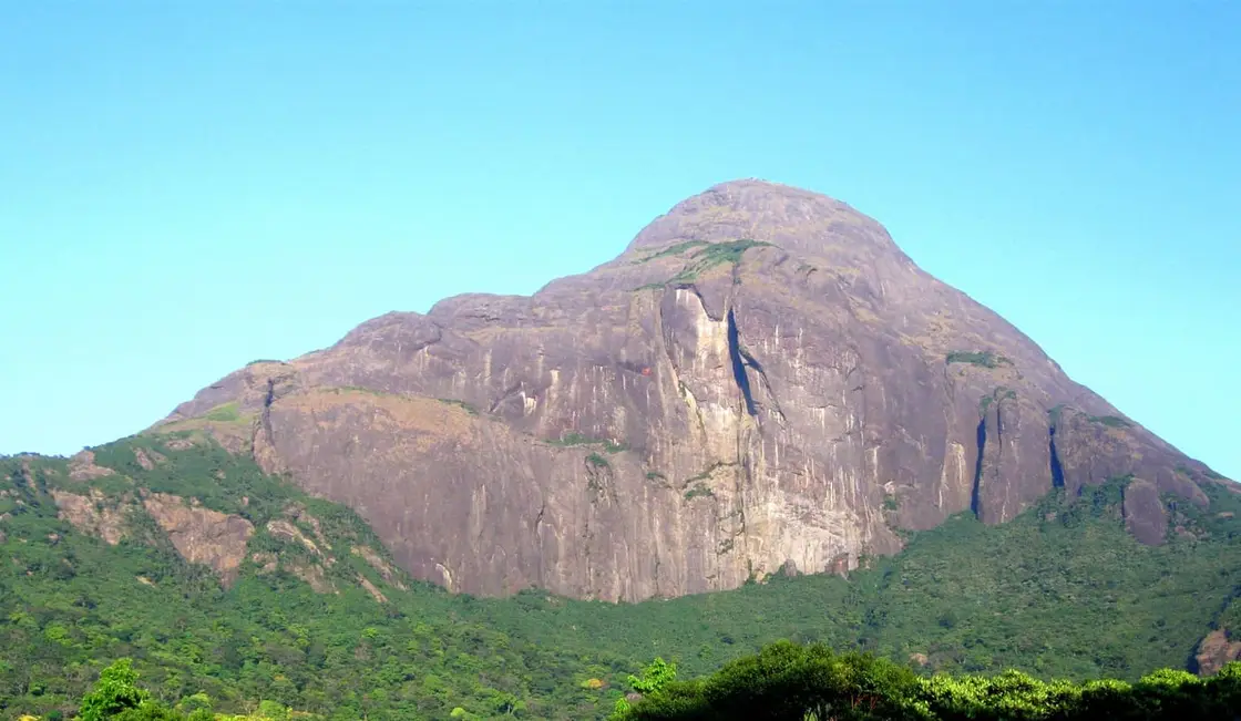
At 1,868 metres, Agasthyakoodam is the second-highest peak in Kerala and the only one you cannot simply decide to climb. It opens for a few weeks a year, on a permit issued in a small daily quota by the Forest Department, and until 2018 half the population was barred from it altogether.

The story of Agasthyakoodam trek

The mountain is known by several names — Agasthyakoodam, Agasthyarkoodam, Agastya Mala — all of them naming the same sage. It stands on the Kerala–Tamil Nadu border at the heart of the Agasthyamala Biosphere Reserve, and the trek to it from the Kerala side starts at Bonacaud, a former plantation settlement reached through Vithura.

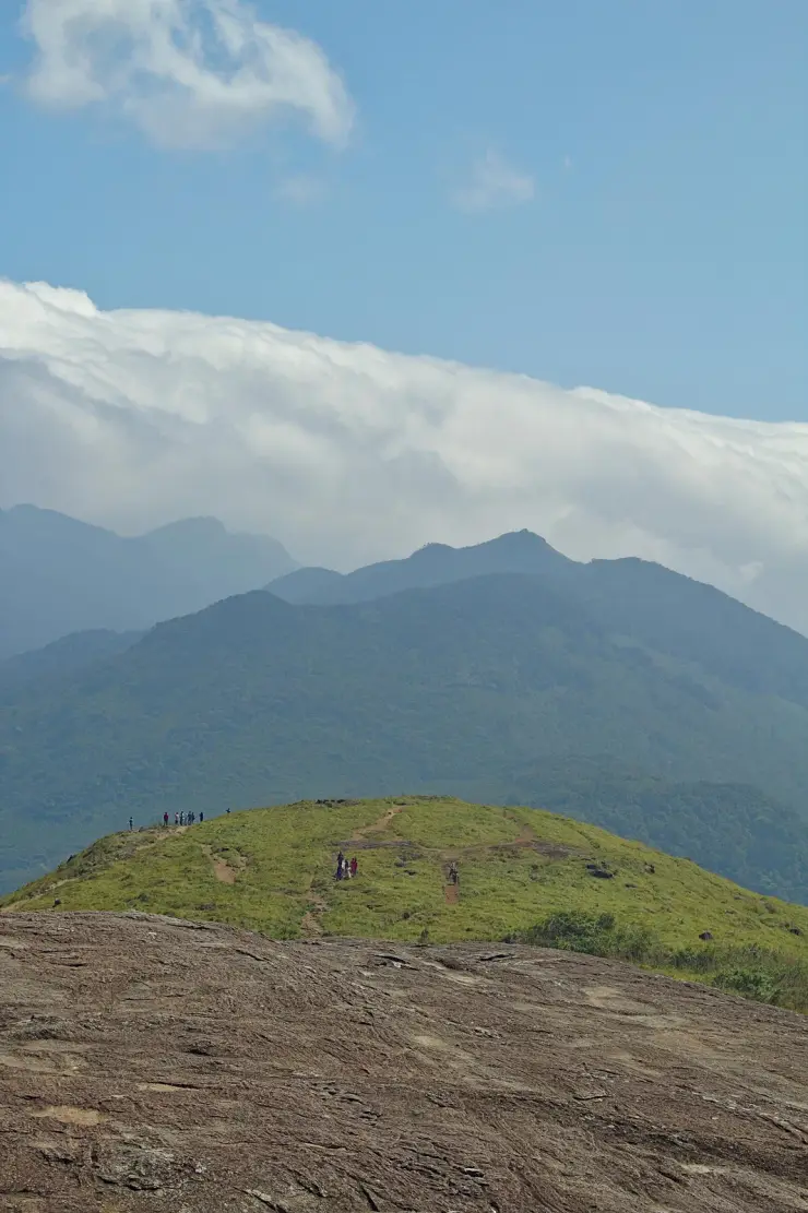
The walk is not technical but it is long and it is sustained, typically covering something like 28 kilometres each way over two days with a night at a Forest Department camp on the mountain. The route climbs out of evergreen forest into the shola–grassland country of the high Ghats, and the second day's ascent to the summit is the hardest part of it.

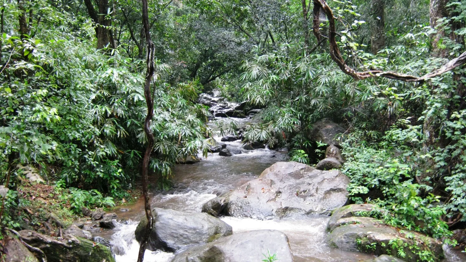
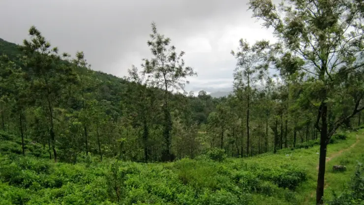
What makes this trek different from every other hill walk in the south is the botany. The Agasthyamala massif is one of the richest concentrations of endemic plant species anywhere in the Western Ghats, and the mountain is closely associated in tradition with medicinal plants — the sage Agastya being remembered as the founder of Siddha medicine. Walking through the shola forest here you are moving through a genuinely exceptional piece of biodiversity, not merely attractive scenery.

The summit carries an idol of Agastya, and the peak is regarded as sacred. That sacredness is the root of the trek's most contested chapter. For decades women were barred from the climb by custom, on the grounds of the deity's celibate character — the same argument advanced at Sabarimala. The restriction was challenged and, in 2018, women were permitted to make the trek; women have climbed it since. If you encounter a source stating that women may not go, it is out of date.

The practical reality is that the mountain is administered, not merely visited. Passes are issued by the Kerala Forest Department in a limited daily number through an official online system, checked against photo ID at the base, and the season is notified — in recent years running roughly from mid-January to mid-March, though the dates move and should never be assumed. Outside the notified window the trek is simply closed. Nothing sold by a third party as a permit is a permit.

The forest itself imposes the rest. There is no vehicle access on the route and no mobile coverage over most of it, so turning back is rarely quick. Leeches are constant on the lower forest sections. Elephants use the lower slopes, and the guide's instructions on that subject are not advisory. Plastic is prohibited and checked. It is, in short, the most rewarding trek in southern Kerala and the least casual.

Legend & myth

The mountain is named for Agastya, the sage of the southern tradition, who in the Puranic account was sent south by Shiva to balance the earth when too many gods gathered in the Himalaya for Shiva's wedding and tilted the world northward. Agastya's weight, the story goes, held the south down. He is remembered as the one who brought the Vedic tradition south, as the founder of Tamil grammar, and as the originator of Siddha medicine — which is why the mountain's extraordinary medicinal flora and its sage are, in the tradition, the same fact told twice.

The peak is held to be his abode, and the idol at the summit is the object of worship for those who climb. These are living beliefs, not folklore for visitors: people go up this mountain to worship as well as to walk.

Read the full history of Agasthyakoodam trek 289 more words

History

Agasthyakoodam stands at 1,868 metres on the Kerala–Tamil Nadu border and is the second-highest peak in Kerala. It lies at the core of the Agasthyamala Biosphere Reserve, an area recognised for exceptional endemism in the southern Western Ghats.

The Kerala-side approach runs from Bonacaud, a plantation settlement whose estate infrastructure — bungalows, a factory, estate roads — reached its present, largely abandoned state after the tea operation there wound down. The base camp for the trek uses that legacy.

Access has been controlled by the Kerala Forest Department for decades through a notified season and a limited permit quota, both to protect the habitat and to manage the numbers on a route with no road access.

The trek's most significant recent change came in 2018, when the customary bar on women climbing the peak was lifted and women trekked to the summit for the first time. The change was contested at the time and remains a live subject locally; it is, nonetheless, the current position.

Why visit

It is the second-highest peak in Kerala and one of the few genuinely wild multi-day treks in the south, walked through some of the richest endemic plant habitat in the Western Ghats.

The route climbs from evergreen forest into high shola and grassland, so you cross several distinct Western Ghats habitats in a single walk.

The Agasthyamala Biosphere Reserve is a serious conservation landscape rather than a scenic one, and the permit system means you share it with very few people.

The summit's association with the sage Agastya and with the origins of Siddha medicine gives the climb a dimension that no other peak in the south has.

The strict permit quota means that when you are on the mountain, it is genuinely quiet.
What to expect

Highlights

  • Permit-only Western Ghats trek linked with the Agasthyamala landscape.
  • Forest, grassland and biodiversity-rich high-range terrain rather than a roadside viewpoint.
  • Priority inventory zone for authorised trek support, transfers, city stays and responsible gear/food services.
Getting there

How to visit

  • Track the official Forest Department booking announcement and apply only through authorised channels.
  • Use Thiruvananthapuram city, Ponmudi/Vithura or the stated reporting base depending on the current season's rule.
  • Prepare for a demanding trek with ID, prescribed gear, water discipline, waste rules and early reporting.

Distance by road

  • Kochi208 km
  • Madurai271 km
  • Kozhikode375 km
  • Coimbatore383 km
  • Mysuru541 km

Road km to Thiruvananthapuram; ghat roads and traffic vary — allow extra.

Timing

Best time

The trek usually operates only in a notified season. Do not plan around generic months without checking the current Forest Department notice.

Weather in Agasthyakoodam trekSeasonal guide

Live forecast loads in your browser.

Today at Agasthyakoodam trek
Sunrise6:13 am
Sunset6:40 pm
Golden hour best light5:40 pm–6:40 pm
Blue hour after sunset6:40 pm–7:05 pm
Sun sets toward compass bearingWNW · 286°
Moon tonight🌘 Waning crescent · 14%
South-west monsoon. June to September brings heavy rain to Kerala. Trails, falls and ghat roads can be slippery, swollen or closed at short notice, and forest departments sometimes suspend access. Check locally on the day before you travel.

Check the official alert before you travel. Kerala’s beaches, waterfalls and trekking routes close at short notice during heavy rain, and district alert levels change day to day. We do not publish an alert level of our own — read it from the state authority: Kerala State Disaster Management Authority, or the district control room on 1077.

Sun and moon are calculated for this location and shown in IST. Photography windows are the hour around sunrise and sunset; the sunset bearing is degrees clockwise from true north. Moon phase is accurate to about half a day.

Visitor notes

  • Same-day tourist-style access should not be assumed.
  • Fitness, footwear and rain/sun preparation matter.
  • Respect local sacred associations and forest restrictions.
Safety

Good to know

  • Do not enter without permits or approved guides where required.
  • Avoid trekking in lightning, heavy rain or closure periods.
  • Carry back waste and stay on the permitted route.
Official eco & forest programmes

Forest stays, camping and guided activities linked to Agasthyakoodam trek

These are official or public-sector eco offerings that match this place, town or forest destination. Confirm availability, permits, tariffs and reporting times with the official operator before travel.

Agasthyakoodam, Agasthyakoodam trek
trekwildlife

Agasthyakoodam / Agasthyarkoodam seasonal trek

Permit-controlled trek to one of the southern Western Ghats’ most important peaks and sacred forest landscapes.

Kerala Forest DepartmentSeasonal multi-stage trek
Official source →
Varayadumotta, Agasthyakoodam trek
trekviewpointwildlife

Varayadumotta trek

Grassland and ridge trek in the Ponmudi landscape, usually handled as a controlled forest trek.

Kerala Forest Department
Official source →
Peppara Wildlife Sanctuary, Agasthyakoodam trek
wildlifetrekboating

Peppara Wildlife Sanctuary eco visit

Forest and reservoir landscape in the southern Western Ghats, listed by Kerala Tourism as an ecotourism destination.

Kerala Forest Department
Official source →
Stay · eat · do · rent · see · shop

Stays, food & things to do near Agasthyakoodam trek

Verified hotels, homestays, restaurants, experiences, sights, shops and rentals around Agasthyakoodam trek — commission-free, with direct contact. Filter by what you need.

Ponmudi Kallar Meenmutty Trek Support — Waterfall walk and trekking support in Ponmudi
Top pick Verified
Waterfall walk and trekking support · Ponmudi
Ponmudi Kallar Meenmutty Trek Support

Ponmudi Kallar Meenmutty Trek Support fills a do gap for ponmudi with direct or official source evidence.

Commission-freeView details
River County Resort Kallar Ponmudi — Kallar-side resort support in Ponmudi
Top pick Verified
Kallar-side resort support · Ponmudi
River County Resort Kallar Ponmudi

Kallar-side resort support for River County Resort Kallar Ponmudi, researched for ponmudi trip support.

Commission-freeView details
Kallar Meenmutty Kerala Tourism — Official Ponmudi route source in Ponmudi
Top pick Verified
Official Ponmudi route source · Ponmudi
Kallar Meenmutty Kerala Tourism
41.4 km · 497 min walk

Kerala Tourism destination source for Kallar and Meenmutty waterfall access near Ponmudi. Contact direct / check current rules · ponmudi, Official Ponmudi route source, nature.

DirectionsView guide
Golden Peak KTDC Ponmudi — KTDC hill resort in Ponmudi
Top pick Verified
KTDC hill resort · Ponmudi
Golden Peak KTDC Ponmudi
52.2 km · 626 min walk

KTDC and Kerala Tourism-listed hill resort at Ponmudi with official contact evidence. Contact KTDC · Ponmudi, KTDC, Hill resort.

Directions Commission-freeView details
Ponmudi Hills Kerala Tourism — Official hill station source in Ponmudi
Verified
Official hill station source · Ponmudi
Ponmudi Hills Kerala Tourism
51.7 km · 621 min walk

Kerala Tourism source for Ponmudi hill station, ghat road, waterfalls and trekking context. Check current entry and access rules · Ponmudi, Hill station, Western Ghats.

DirectionsView guide
G
Golden Peak KTDC Restaurant
Where to eat
Top pick Verified
KTDC resort restaurant · Ponmudi
Golden Peak KTDC Restaurant
52.2 km · 626 min walk

Restaurant at KTDC Golden Peak for travellers staying on or visiting the Ponmudi hill route. Contact direct / check current rules · ponmudi, KTDC resort restaurant, eat.

Directions Commission-freeView details

Book with the place itself. India’s cyber-crime coordination centre warned in April 2025 that convincing copies of hotel and pilgrimage booking sites are being pushed through sponsored search and social ads, taking payment for rooms the property never hears about. Every listing here links to the business’s own contact details and its own Google or Bing profile — we take no commission and sit in nobody’s payment path. If a booking page reached you through an ad, check the address bar against the property’s own site before you pay. Fraud can be reported on cybercrime.gov.in or on 1930.

Roampedia is commission-free — own or know a stay, eatery, guide or shop near Agasthyakoodam trek? List it and it appears here once verified.

Add a nearby business
Trek facts

Agasthyakoodam trek — at a glance

DifficultyHard
DistanceRoughly 28 km each way from the Bonacaud base, walked over two days with a night at the forest camp (indicative — confirm the current route).
DurationTypically two days and one night, with a very early start on both.
TimingsThe trek runs only in a notified season and only on booked dates, with reporting at the base camp very early in the morning. It is not possible to turn up and walk (indicative — confirm the current season's rules with the Kerala Forest Department).
Best timeThe season is notified by the Forest Department and has in recent years run from around mid-January to mid-March. Do not plan around generic months — check the current notice, because the dates move and the trek is simply closed outside them.

Entry: A Forest Department trek fee applies per person, paid as part of the booking rather than at the gate (indicative — confirm locally).

Photography: The grassland ridges, the shola forest and, at the top, the peak's namesake — the Agastya idol on the summit. Photography of the summit shrine may be restricted; ask.

Permit: Permit-only. Passes are issued by the Kerala Forest Department in a limited daily quota, through the official online booking system, and are checked against photo ID at the base. Third-party 'permits' are not valid.

Booking: Book through the Forest Department's official channel when the season is announced — the quota is small and dates go quickly. Announcements are usually made a few weeks before the season opens (indicative — confirm locally).

Getting here

How to reach Agasthyakoodam trek

  • ✈︎ By air Trivandrum International Airport, roughly 60 km to the Bonacaud base (indicative — confirm locally).
  • 🚆︎ By train Thiruvananthapuram Central, about 50 km to the base.
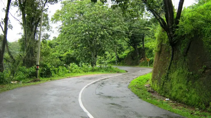
  • 🚗︎ By road Via Vithura to Bonacaud. The last stretch is a rough plantation road.
  • 🚌︎ By bus Limited services reach Bonacaud; most trekkers arrange a taxi to be sure of making the pre-dawn reporting time.
Getting back

Work out your return before you settle in for the sunset. Services on this coast thin out sharply in the evening, and Agasthyakoodam trek is easier to reach than to leave. We do not publish departure times: there is no official live feed we are permitted to republish, and a wrong time here would strand you. Check the operator directly on the day.

Ask at the jetty or stand for the time of the last service back, not the next one. If you miss it, an auto or app cab is the fallback — agree the fare before you get in.

Do

Things to do

  • Walk the two-day route up through shola forest and open grassland to the 1,868 m summit.
  • Spend the night at the Forest Department's forest camp on the mountain.
  • Look for the Agasthyamala Biosphere Reserve's endemic plants — this is one of the richest botanical sites in the Western Ghats.
  • Reach the summit shrine to the sage Agastya, from whom the peak takes its name.
Stay safe

Safety

  • This is a hard, high, remote trek with no vehicle access and no mobile coverage for most of the route. Turning back is often not a quick option.
  • Leeches are constant on the forest section. Carry salt or a repellent and check regularly.
  • Elephants use the lower forest. Follow your guide's instructions without argument.
  • Do not attempt it without genuine hill fitness — the second day's climb is sustained and the descent is harder on the knees than the ascent is on the lungs.

Women were barred from this trek by custom for decades; the restriction was lifted in 2018 and women have trekked to the summit since. If you encounter a claim that women are still not permitted, it is out of date. The summit shrine itself remains a place of worship — treat it as one.

Getting around Agasthyakoodam trek

We have not assessed physical access at this place yet. Across India, step-free routes, handrails and accessible toilets are the exception rather than the rule, and pavements are often interrupted — if step-free access matters to you, contact the site or a local operator before committing to the trip.

Practical things near Agasthyakoodam trek

Mapped within about 1.2 km of Agasthyakoodam trek, with real walking routes rather than straight-line distances. Community-mapped data: opening hours are shown only where they are recorded, and this is not a complete list — something unmapped may well be closer. Please confirm on the ground.

If you need help at Agasthyakoodam trek
112All emergencies (police · fire · medical)The single number to call in any emergency (ERSS).

Emergency numbers are verified against official government and state tourism sources. 112 works anywhere in India.

Nearby

What’s near Agasthyakoodam trek

wildlifeNeyyar Wildlife Sanctuary 7.1 km · ~18 min by auto
trekPeppara trek 45.3 km · 543 min walk
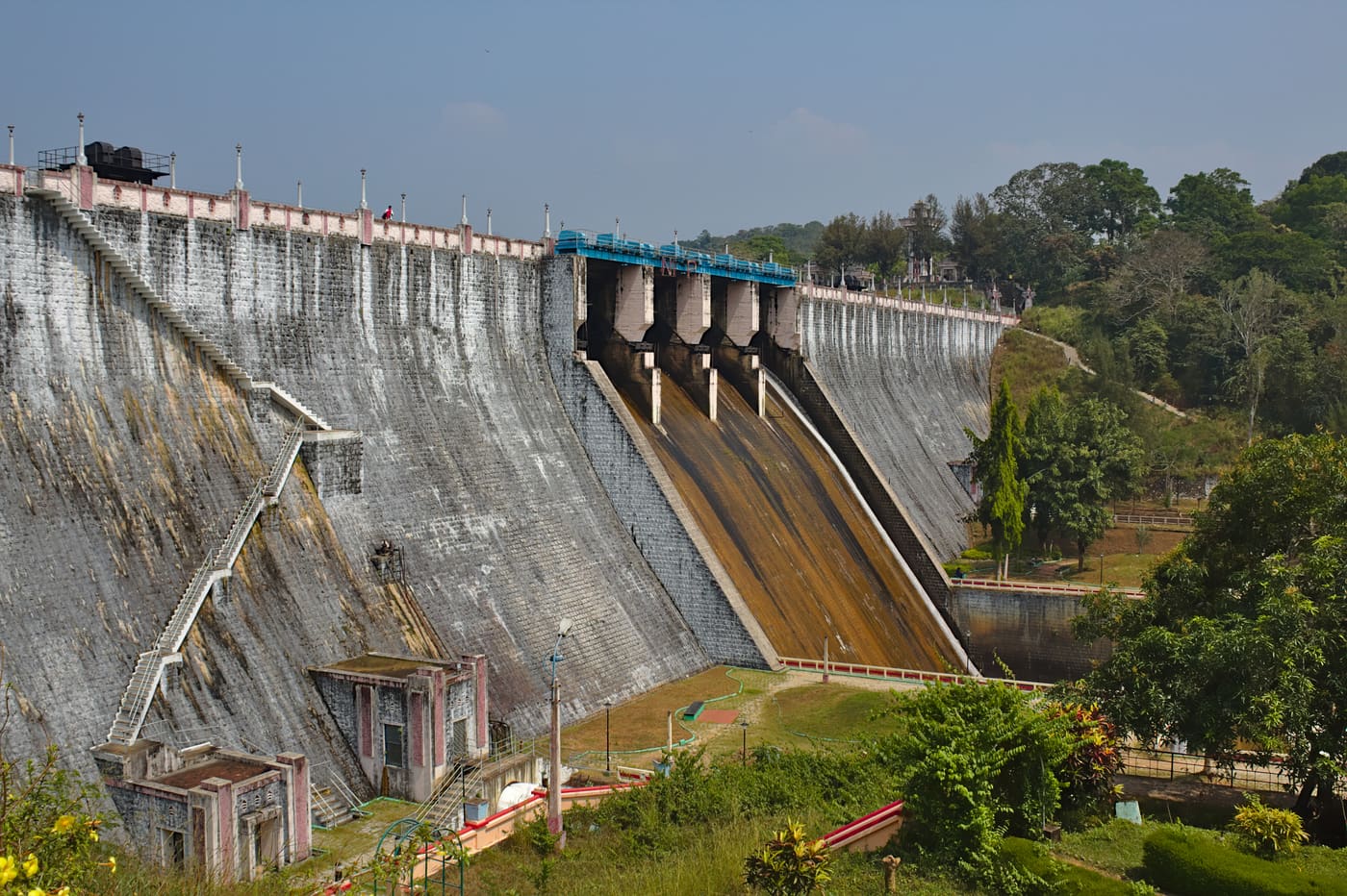
damPeppara Dam 45.3 km · 543 min walk
trekNeyyar trek 14.3 km · ~24 min by cab
damNeyyar Dam 14.3 km · ~24 min by cab
waterfallKallar Meenmutty Falls 41.4 km · 497 min walk
trekPonmudi trek 39.5 km · 474 min walk
viewpointGolden Valley 39.5 km · 474 min walk
hill stationPonmudi 51.7 km · 621 min walk
viewpointPonmudi viewpoint 54.2 km · 650 min walk
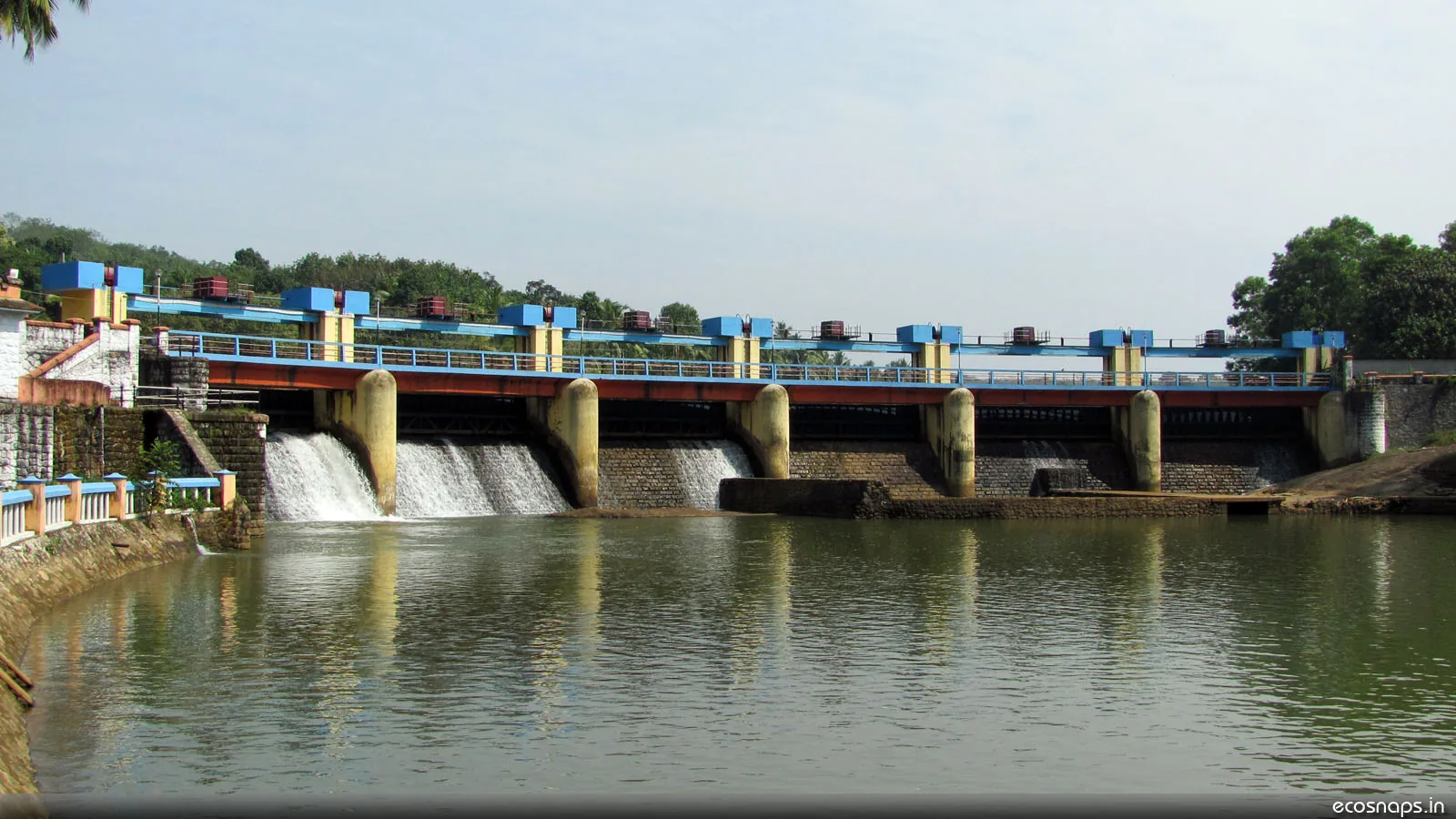
damAruvikkara Dam 25.8 km · ~43 min by cab
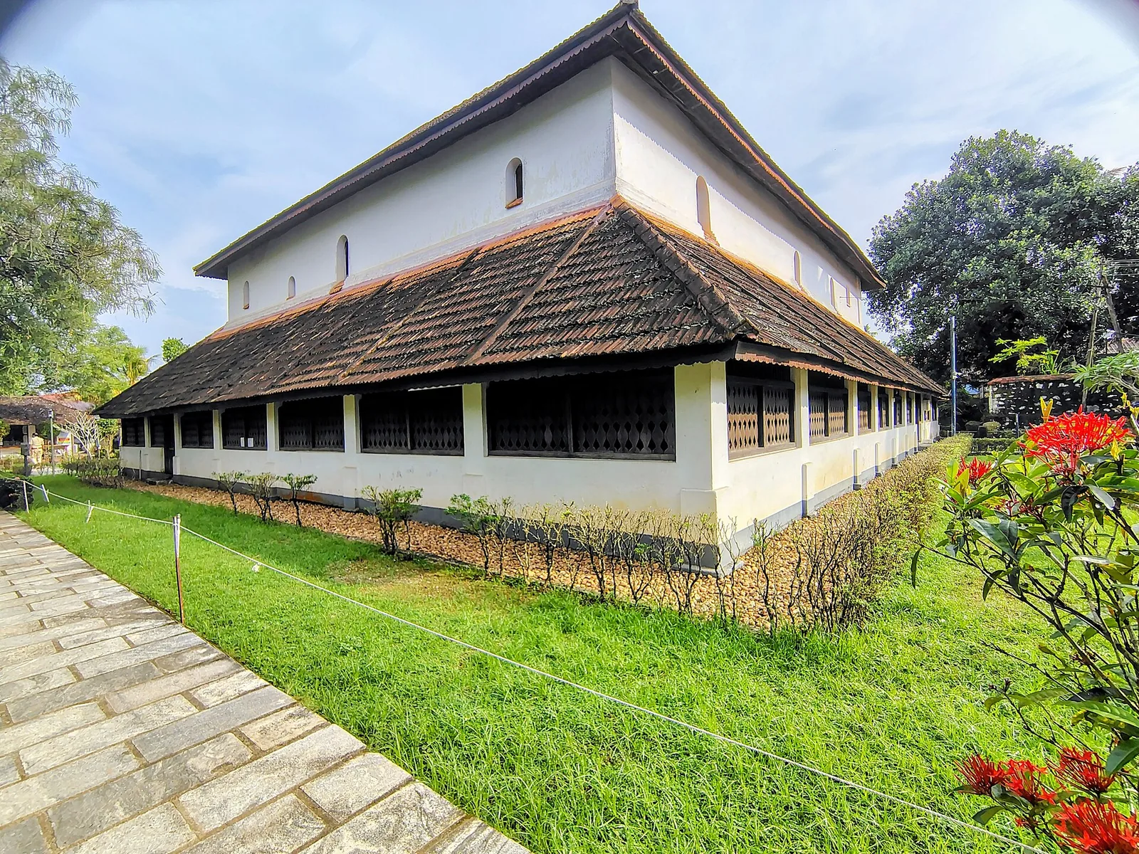
museumKoyikkal Palace 26.7 km · ~45 min by cab

All 8 places to visit in Ponmudi →

Walking and driving times are real routed distances, not straight lines. Fare figures are estimates from Kerala’s notified auto/taxi tariff and exclude waiting and night charges. Routing: © openrouteservice.org by HeiGIT | Map data © OpenStreetMap contributors

Nearby toilets, pharmacies, ATMs, seating and vets are community-mapped and may be incomplete or out of date. Map data © OpenStreetMap contributors | Walking times © openrouteservice.org by HeiGIT

On the map

Where Agasthyakoodam trek is

Good to know

Agasthyakoodam trek — frequently asked

How do I get a permit for Agasthyakoodam?

Through the Kerala Forest Department's official booking channel, when the season is announced — usually a few weeks beforehand. The daily quota is small and dates go quickly. Passes are checked against photo ID at the base camp, and anything sold by a third party as a permit is not one (indicative — confirm the current season's process with the Forest Department).

When is the trek open?

Only in a notified season, which in recent years has run from around mid-January to mid-March. The dates move from year to year and outside the window the trek is simply closed, so never plan around generic months — check the current Forest Department notice.

Can women do the Agasthyakoodam trek?

Yes. Women were barred by custom for decades on the grounds of the deity's celibate character, but the restriction was lifted in 2018 and women have trekked to the summit since. Any source still saying women are not permitted is out of date.

How hard is it, and how long does it take?

Hard. It is typically a two-day, one-night trek covering roughly 28 km each way from the Bonacaud base, with a night at a Forest Department camp and very early starts on both days. It is not technical, but it is long and sustained and needs genuine hill fitness — the descent is harder on the knees than the climb is on the lungs.

What should I be prepared for on the route?

Leeches throughout the forest sections, elephants on the lower slopes, no mobile coverage for most of the route and no vehicle access at all. Carry salt or repellent, proper footwear, water discipline and your own waste. Follow the guide's instructions on wildlife immediately and without debate.

Where does the trek start?

At the Bonacaud base camp, reached by road from Thiruvananthapuram via Vithura — roughly 60 km, with the last stretch on a rough plantation road. Transport to the base is your own responsibility and is not included in the permit; most trekkers arrange a taxi to be certain of making the pre-dawn reporting time.

When is the best time to visit Agasthyakoodam trek?

The trek usually operates only in a notified season. Do not plan around generic months without checking the current Forest Department notice.

What are the entry fee and timings at Agasthyakoodam trek?

Entry: A Forest Department trek fee applies per person, paid as part of the booking rather than at the gate (indicative — confirm locally).. Timings: The trek runs only in a notified season and only on booked dates, with reporting at the base camp very early in the morning. It is not possible to turn up and walk (indicative — confirm the current season's rules with the Kerala Forest Department).. Fees and timings are indicative — confirm on site before you travel.

How do I reach Agasthyakoodam trek?

Track the official Forest Department booking announcement and apply only through authorised channels. Use Thiruvananthapuram city, Ponmudi/Vithura or the stated reporting base depending on the current season's rule. Prepare for a demanding trek with ID, prescribed gear, water discipline, waste rules and early reporting.

How much time do I need for Agasthyakoodam trek?

Typically a full-day to multi-stage forest trek depending on the official route and season rules.

What else is near Agasthyakoodam trek?

Nearby you can pair Neyyar Wildlife Sanctuary (7.1 km), Peppara trek (11.9 km), Peppara Dam (11.9 km), Neyyar trek (14.3 km).

What should I know before visiting Agasthyakoodam trek?

Do not enter without permits or approved guides where required. Avoid trekking in lightning, heavy rain or closure periods. Carry back waste and stay on the permitted route.

Image credits