What to expect
Highlights
- The riverside forest approach.
- The Kallar Meenmutty cascade.
- A route whose length and access depend on current management.
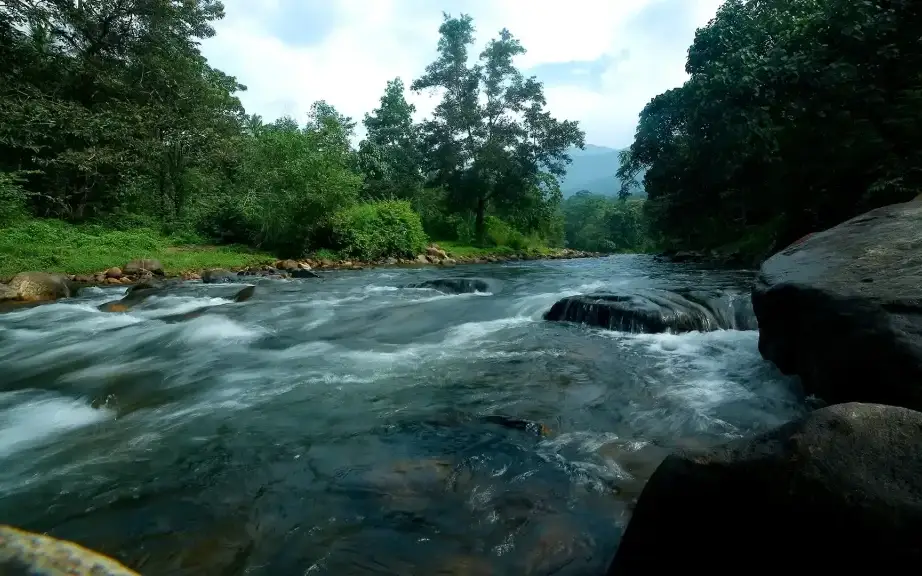
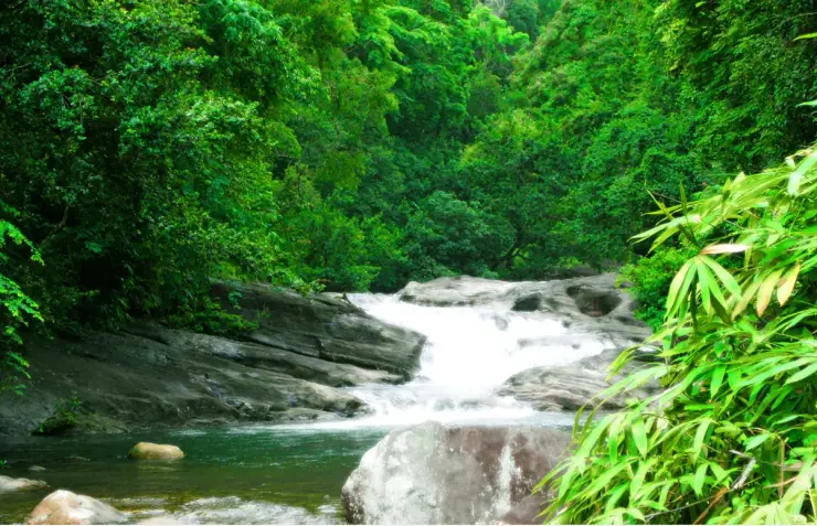
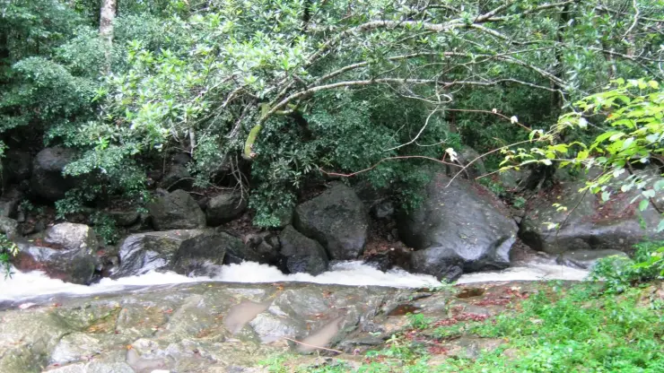
Kallar Meenmutty Falls is reached through forest beside the river below Ponmudi. The approach is part of the attraction: trees, bamboo and running water lead towards the cascade.
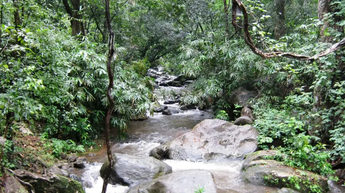
The Meenmutty waterfall reached from Kallar is a managed forest outing, and the name Meenmutty belongs to several other Kerala falls too.
Kerala Tourism identifies a Meenmutty walk along the Kallar river on the Ponmudi approach. The Forest Department lists Kallar as an ecotourism centre. Those two facts locate this waterfall more reliably than a generic search for “Meenmutty Falls”, which can send a visitor to another district.
The route follows a river corridor through forest rather than a paved sightseeing path. Kerala Tourism’s Malayalam account describes a walk of roughly a kilometre and a river crossing; other visitor descriptions use different route lengths. The actual permitted route and whether a guide is required should be confirmed with the Kallar centre for the day.
A waterfall pool is not a guaranteed bathing area. Flow and crossings change after rain, including rain upstream that is invisible at the roadhead. Follow Forest Department closures and staff directions. The trip’s reward is the forested approach and river landscape as well as the falls; no photograph is worth crossing a restricted channel.
Kerala Tourism and the Forest Department document Kallar as the access area. Published distances differ, so a fixed trek length and unchanging route are not promised here.
Use the named Kallar ecotourism centre to reach the correct Meenmutty.
Take the permitted forest path as part of the experience.
Check the day’s water level and guide instructions before setting out.
Road km to Thiruvananthapuram; ghat roads and traffic vary — allow extra.
Choose a day when the centre confirms safe trail and river conditions.
Live forecast loads in your browser.
Sun and moon are calculated for this location and shown in IST. Photography windows are the hour around sunrise and sunset; the sunset bearing is degrees clockwise from true north. Moon phase is accurate to about half a day.
These are official or public-sector eco offerings that match this place, town or forest destination. Confirm availability, permits, tariffs and reporting times with the official operator before travel.
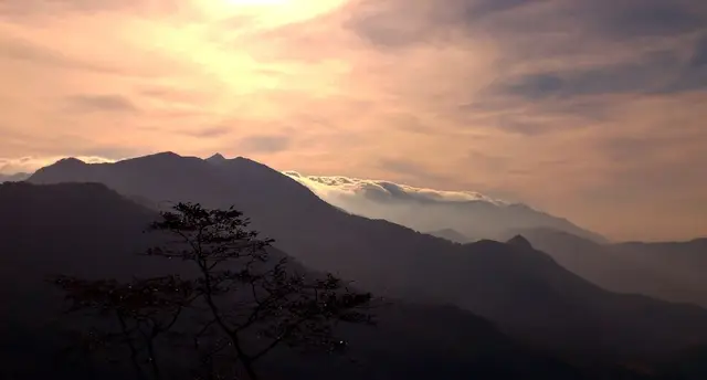
Permit-controlled trek to one of the southern Western Ghats’ most important peaks and sacred forest landscapes.
Official source →Grassland and ridge trek in the Ponmudi landscape, usually handled as a controlled forest trek.
Official source →Forest and reservoir landscape in the southern Western Ghats, listed by Kerala Tourism as an ecotourism destination.
Official source →Browse listed stays, food, activities, sights, shops and rentals around Kallar Meenmutty Falls. Check each listing’s locality and contact the business directly for current arrangements.
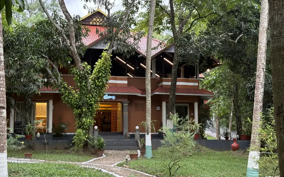
River County Resort is a Kallar-side accommodation option on the Ponmudi route. Check its current booking contact and rooms; the hilltop viewpoint is a separate uphill journey.
Restaurant at KTDC Golden Peak for travellers staying on or visiting the Ponmudi hill route. KTDC resort restaurant.
Kallar and Meenmutty offer a riverside and waterfall outing below Ponmudi. Use the designated approach, follow weather restrictions and keep out of fast-moving or high water.
Golden Peak is KTDC’s hill accommodation at Ponmudi. Compare the room and meal package, allowing time for the winding approach and separately managed viewpoint visit.
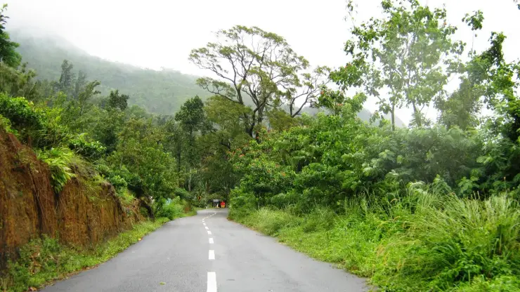
Ponmudi’s ascent leads towards hill scenery above the Kallar valley. Plan a daylight drive and an open visitor session; rain or poor visibility can change the outing.
Book with the place itself. India’s cyber-crime coordination centre warned in April 2025 that convincing copies of hotel and pilgrimage booking sites are being pushed through sponsored search and social ads, taking payment for rooms the property never hears about. Use the contact and source details on each profile to confirm the exact business and booking channel. A directory entry or map pin alone does not establish an operator’s identity or current availability. Roampedia takes no commission and does not collect booking payments. If a booking page reached you through an ad, check the address bar against the property’s own site before you pay. Fraud can be reported on cybercrime.gov.in or on 1930.
Find food, accommodation and activities across Ponmudi. Browse the guides for places to eat, stay and explore along your route.
8 more places around Ponmudi. Open a guide to plan the visit and onward journey.
A forest-edge cascade on the Mankayam river near Palode whose safe approach depends on rainfall, local guidance and current access controls.
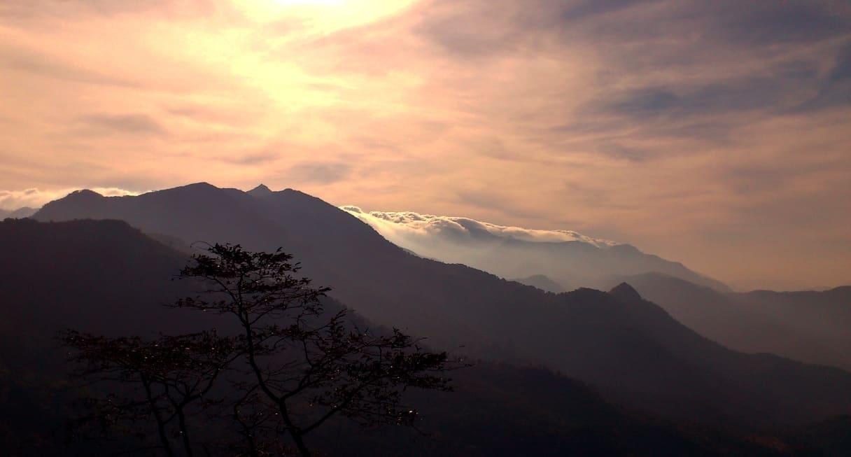
14.5 km · 27 min drive
A small hill station and viewpoint drive in the southern Western Ghats.
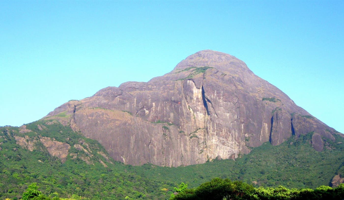
15.4 km · straight line
Permit-only forest trek to a sacred Western Ghats peak, usually opened seasonally by the forest department.
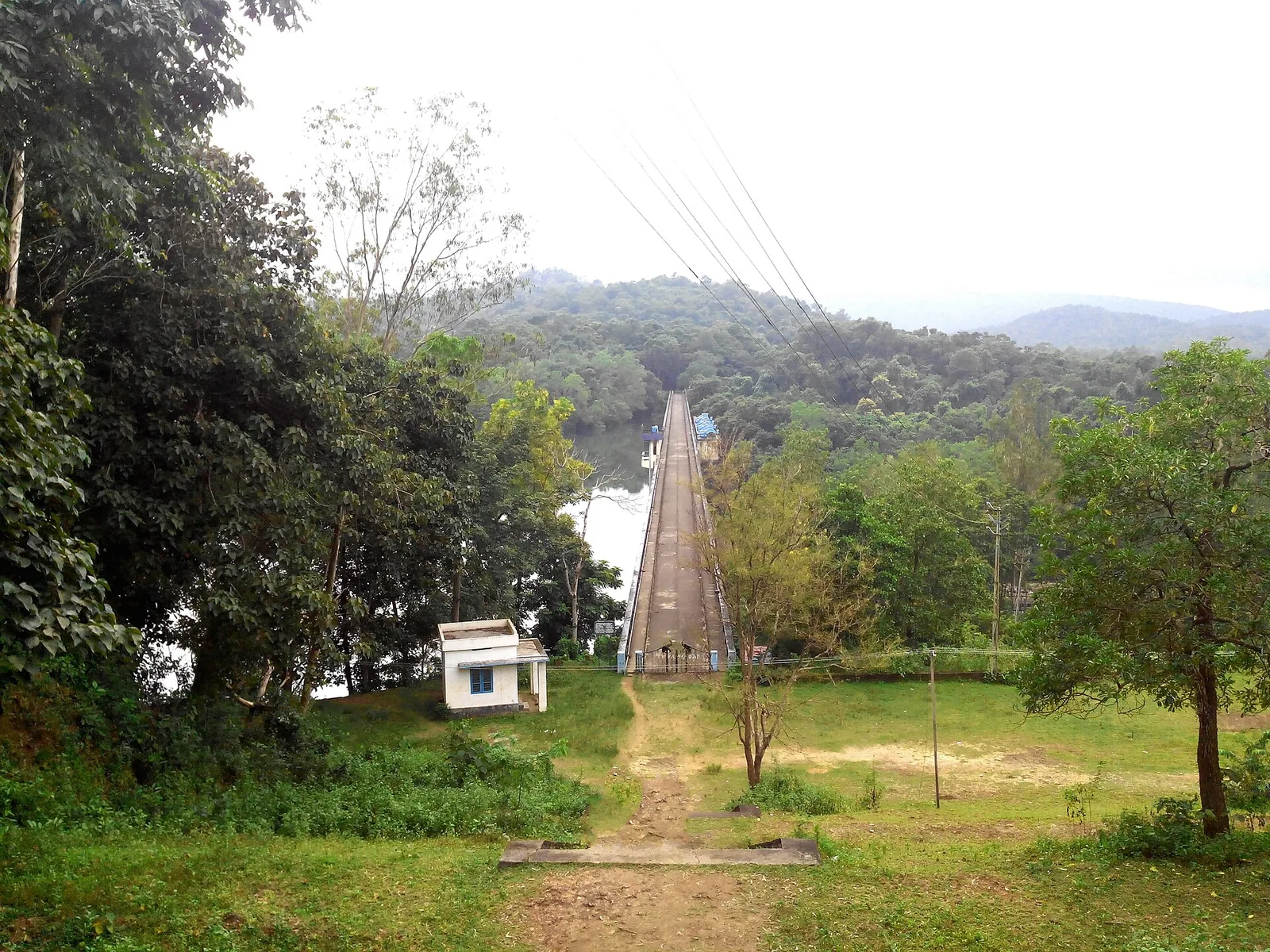
19.2 km · 31 min drive
Forest Department trekking in the Peppara Wildlife Sanctuary on the Ponmudi–Vithura side, through the Karamana-river catchment and Agasthyamala foothills.
2.2 km · 27 min walk
Hill trekking around Ponmudi (“Golden Peak”, about 1,100 m) and the Kallar / Golden Valley trails, a cooler high-range walk near Thiruvananthapuram.
19.2 km · 31 min drive
A reservoir on the Karamana river at the edge of the Peppara Wildlife Sanctuary near Ponmudi, with forest and elephant habitat.
16.9 km · 31 min drive
Ponmudi’s upper viewpoint opens onto grass-covered ridges and Western Ghats valleys. Clear weather brings the long view; mist turns the same outing into a close study of the hills.
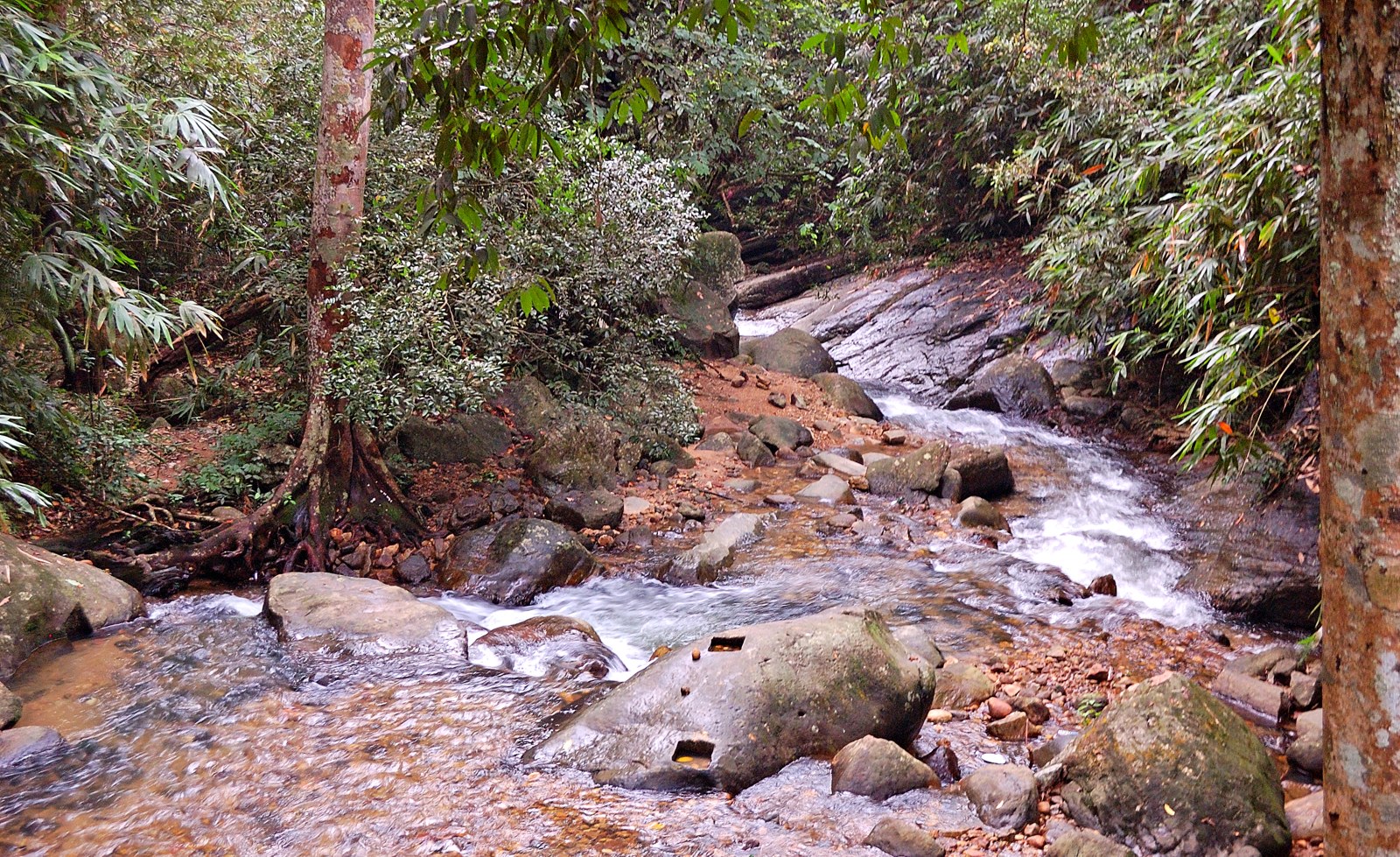
1.7 km · straight line
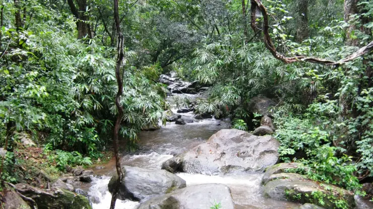
Golden Valley is a rocky reach of the Kallar River below Ponmudi. Boulders, flowing water and forest give this lower-hill stop its character; it is not a hilltop panorama.
Roampedia is commission-free — own or know a stay, eatery, guide or shop near Kallar Meenmutty Falls? Submit public business details for review.
Add a nearby businessEntry: Confirm the current Kallar trek price, guide arrangement and booking method with the Forest Department.
Reach the named Kallar ecotourism point on the Ponmudi road, then follow only the permitted forest route.
If you are travelling by bus or ferry, check the return service with the operator before setting out. Leave time to reach the stop or jetty after your visit.
Ask at the bus stand for the time of the last service back, not the next one. If you miss it, an auto or app cab is the fallback — agree the fare before you get in.
If you need step-free access, contact the site before travelling. Ask about a level entrance, steps along the route, the nearest drop-off point, seating and accessible toilets.
Published emergency and visitor-assistance contacts. For an immediate emergency, call 112. Shared Kerala contact sources checked 4 October 2026; publication does not establish a tested live response.
Golden Valley is a rocky reach of the Kallar River below Ponmudi. Boulders, flowing water and forest give this lower-hill stop its character; it is not a hilltop panorama.
1.7 km · straight lineHill trekking around Ponmudi (“Golden Peak”, about 1,100 m) and the Kallar / Golden Valley trails, a cooler high-range walk near Thiruvananthapuram.
2.2 km · 27 min walkA small hill station and viewpoint drive in the southern Western Ghats.
14.5 km · 27 min drivePermit-only forest trek to a sacred Western Ghats peak, usually opened seasonally by the forest department.
15.4 km · straight linePonmudi’s upper viewpoint opens onto grass-covered ridges and Western Ghats valleys. Clear weather brings the long view; mist turns the same outing into a close study of the hills.
16.9 km · 31 min drive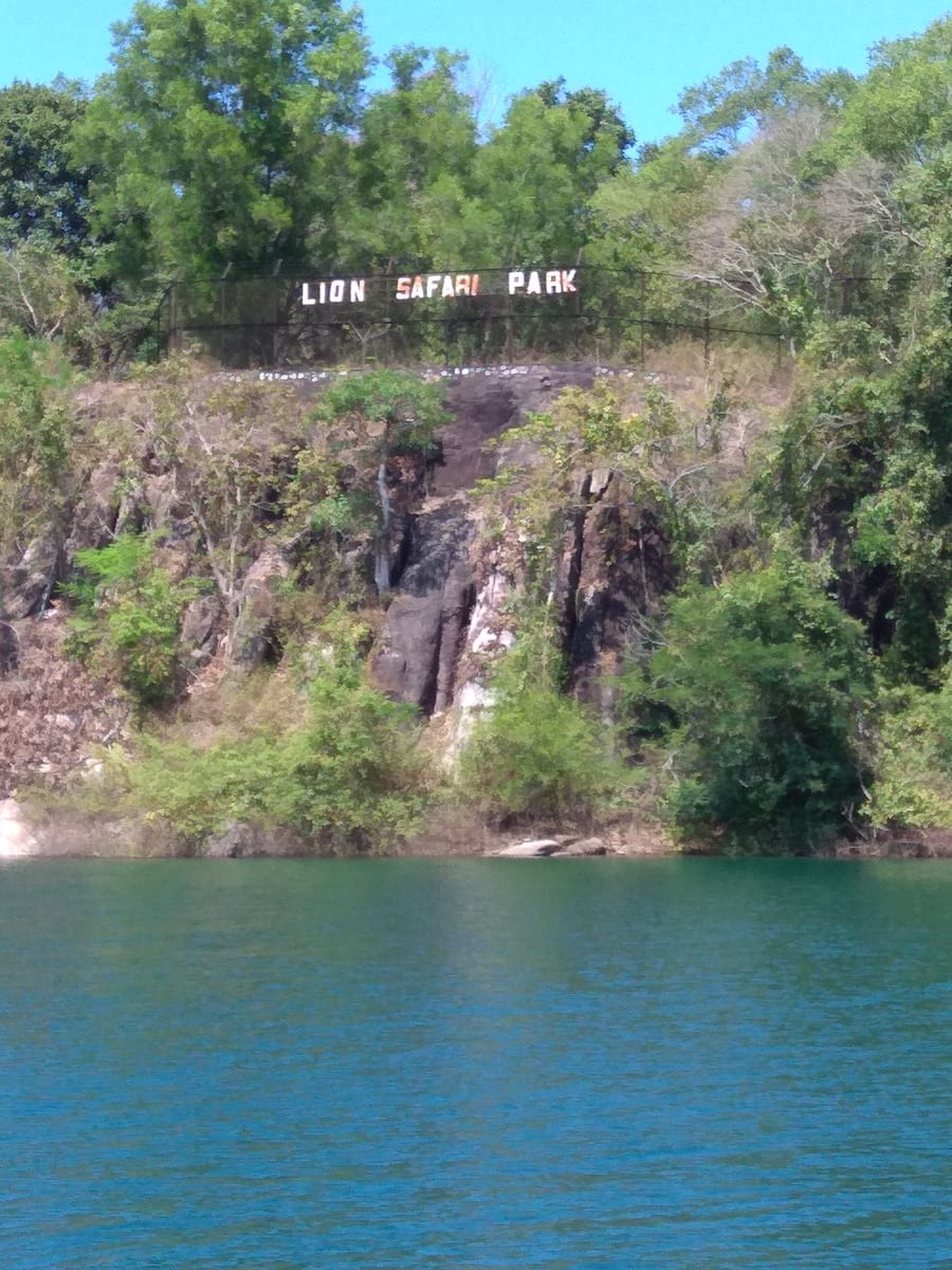
Neyyar Wildlife Sanctuary protects forest around the reservoir below Agasthyamala. A visit should centre on an authorised nature programme, with wildlife understood as habitat rather than a promised sighting.
18.1 km · straight lineForest Department trekking in the Peppara Wildlife Sanctuary on the Ponmudi–Vithura side, through the Karamana-river catchment and Agasthyamala foothills.
19.2 km · 31 min driveA reservoir on the Karamana river at the edge of the Peppara Wildlife Sanctuary near Ponmudi, with forest and elephant habitat.
19.2 km · 31 min drive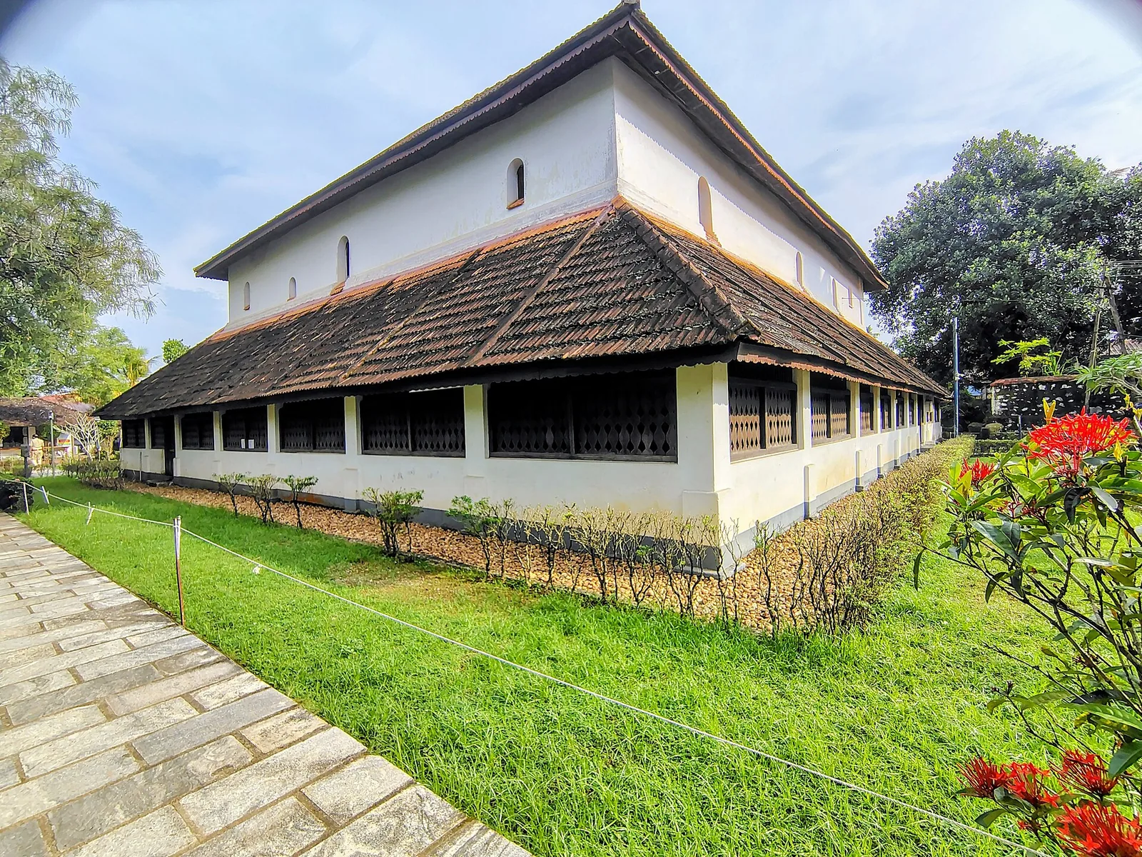
Koyikkal Palace at Nedumangad houses folklore and coin collections inside a traditional Kerala palace. Everyday objects, instruments and currency make this a more intimate museum stop than a grand royal gallery.
19.4 km · straight line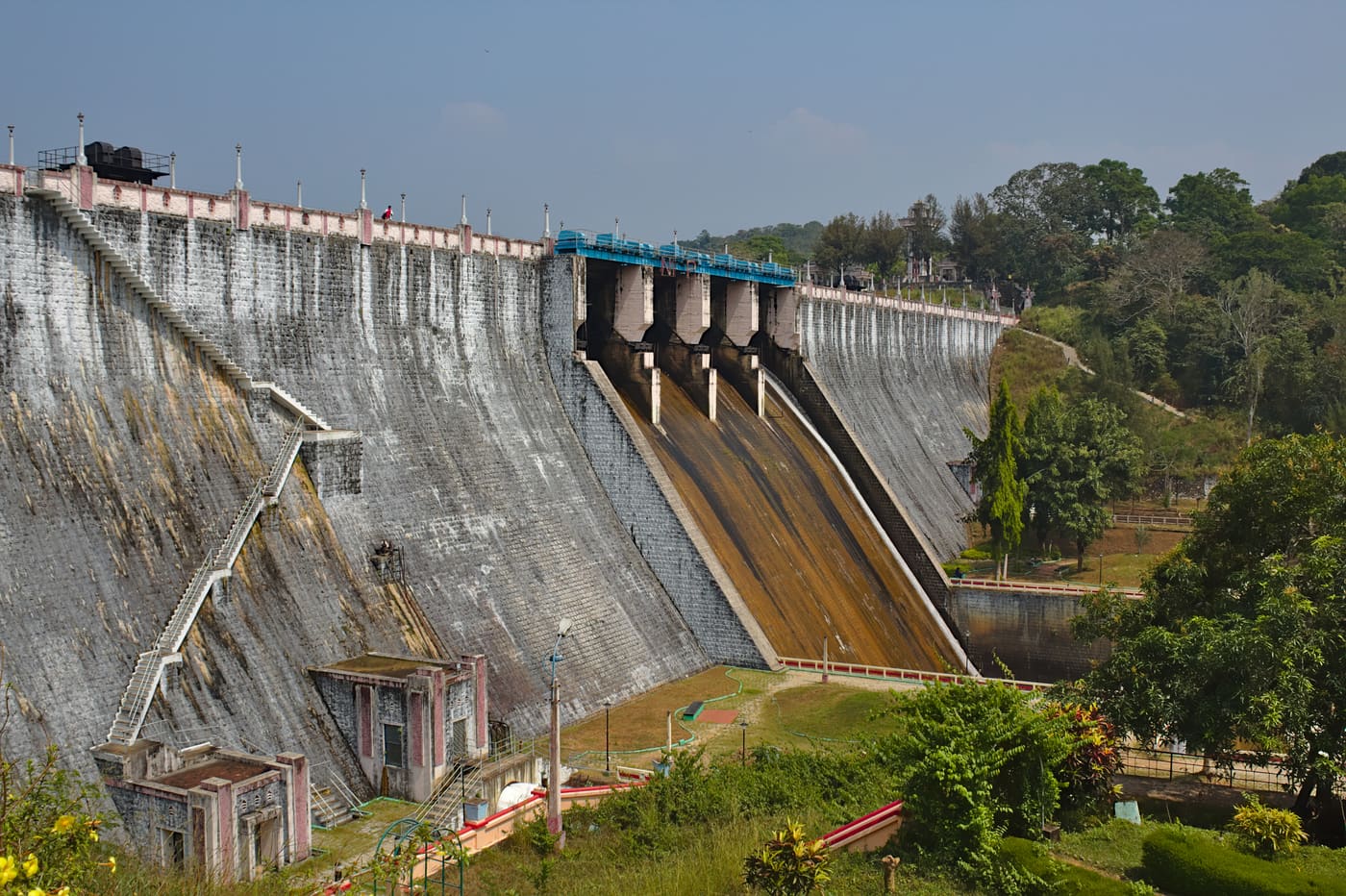
Guided forest trekking in the Neyyar Wildlife Sanctuary near the Agasthyamala foothills, south-east of Thiruvananthapuram.
19.7 km · straight lineNeyyar Dam opens onto a broad reservoir beneath the Agasthyamala foothills, inland from Thiruvananthapuram. Wooded hills frame the water, giving this outing a different pace from the city’s beaches.
19.7 km · straight line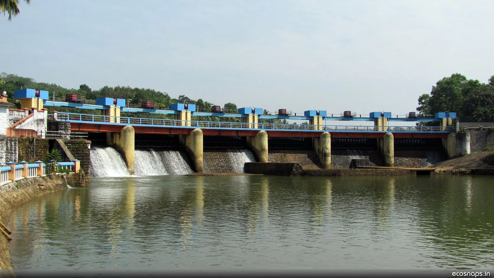
A reservoir, riverside temple and small park on the Karamana river north-east of the city, a popular local picnic spot.
21.5 km · straight lineRoad and walking figures are route estimates, with travel times dependent on access, traffic and conditions. Figures marked “straight line” show direct separation and do not describe a road or walking route. Fare estimates use Kerala’s 26 April 2022 auto/taxi notification and exclude waiting, night and applicable one-way surcharges. Confirm the current meter or operator quote before travelling. Routing: © openrouteservice.org by HeiGIT | Map data © OpenStreetMap contributors
The fall reached from Kallar on the road toward Ponmudi in Thiruvananthapuram district.
No. Forest Department access and safe river crossings depend on current conditions; confirm with the Kallar centre.
Choose a day when the centre confirms safe trail and river conditions.
Entry: Confirm the current Kallar trek price, guide arrangement and booking method with the Forest Department. Timings: Trek access is managed through the Kallar ecotourism centre and depends on current forest and river conditions.
Contact the Forest Department’s Kallar ecotourism centre about booking and guide arrangements. Use only the permitted route and crossing chosen for the day. Return within the time given by staff; do not plan bathing from an old travel page.
Allow several hours, depending on the current managed route.
Nearby you can pair Golden Valley (1.7 km, approximate straight-line separation), Ponmudi trek (2.2 km, route estimate), Ponmudi (14.5 km, route estimate), Agasthyakoodam trek (15.4 km, approximate straight-line separation).
Follow guide or staff decisions about rain and crossings. Keep out of the plunge pool unless explicitly permitted under current conditions.
Written about Kallar Meenmutty Falls itself — its history, its legends and the arguments about them.
These guides explore Ponmudi and the surrounding area. Choose a visit that fits your interests, allowing separately for travel between stops.


Route-level itineraries and practical guides for the rest of Kerala.


Photographs: Jaseem Hamza (CC BY 3.0), Jaseem Hamza (CC BY 3.0), Jaseem Hamza (CC BY 3.0), Pillai.mech (CC BY-SA 3.0), Arunelectra (CC BY-SA 3.0).