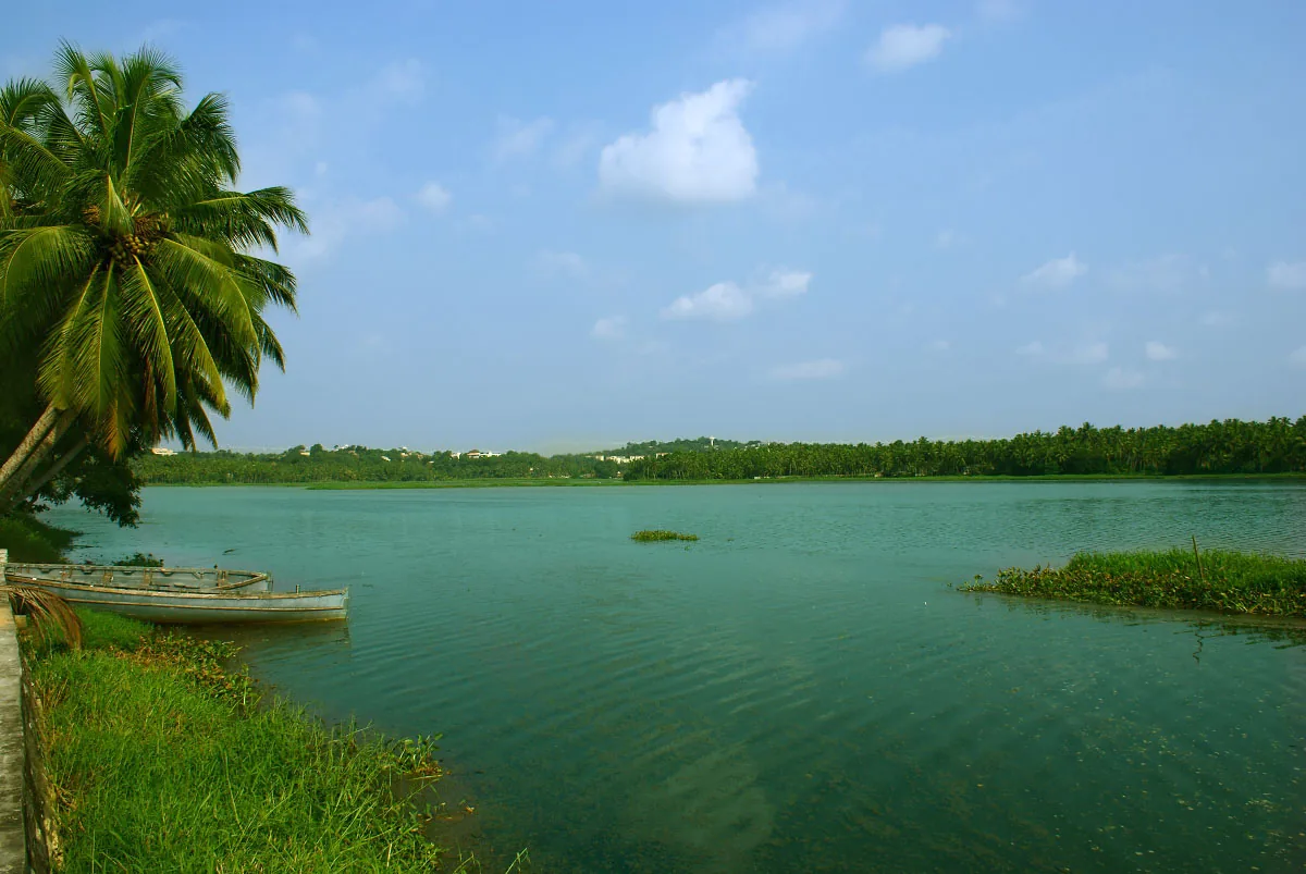
Parvathy Puthanar began as a way to move through Travancore by water. Two centuries later, the more urgent question is where the city’s rain and waste water can go. A Kerala Irrigation Department flood report traces those paths around Akkulam Lake. Following the old canal on that modern map reveals a waterway with a second, less romantic life.
A route imagined for movement
The Irrigation Department dates the canal to the period of Rani Parvathi Bai and says it was built to connect the Travancore capital with Kadinamkulam and, ultimately, the water route towards Kochi. A Kerala public-relations history also describes Parvathi Bai’s canal-building programme. This was transport infrastructure before the lakefront became a leisure destination.
The city gives it a different job
The flood report says Amayizhanjan Thodu and Thettiayar Thodu join Akkulam Lake, from which water moves through the Akkulam–Veli system towards the Veli opening. It separately describes Thekkanakara Thodu meeting Parvathy Puthanar near Vallakkadavu, with drainage towards Poonthura. Openings, sandbars and obstructions affect how well those routes work. This is a network with multiple managed reaches, not one pipe emptying into Akkulam.
The same report identifies pollution and obstruction along parts of Parvathy Puthanar and says cleaning and dredging work on the Kovalam–Veli stretch was assigned to Kerala Waterways and Infrastructures Limited. A NATPAC annual report described the canal as not navigable at the time of its study and examined waste, weeds and maintenance needs. These are dated findings; the condition of a particular stretch needs a current operator check.
Restoration meets the old problem
The later Akkulam–Chettuva first-phase announcement concerns a much larger waterway project. It should not be read as proof that every older canal reach is open to passenger boats or that there is a through service from Akkulam. The West Coast Canal guide separates the project from a visitor timetable.
The map has more than one ending
From the lakefront, the catchment and its outlets are hard to see. The flood map makes them visible: some water moves from Akkulam towards Veli; another described route leads towards Poonthura. The canal’s future as a transport route depends on work reach by reach, while its drainage job cannot wait for a through passenger service. That double duty is the present story of an old Travancore idea.
A canal does not keep its first purpose forever
The older canal was imagined as a transport link. The modern drainage maps show how the same connected water can carry city runoff and pollutants. That shift does not erase its history; it makes the history relevant to engineering decisions now. Restoring a navigation route and improving drainage both depend on what enters the water from the catchment.
The sediment study reveals a problem that a newly cleared channel cannot solve by appearance alone. The waterway opening points toward renewed movement, but its public service and environmental condition need separate evidence.
At Akkulam, the canal’s most interesting story is its unfinished change of role: built to connect places, now asked to move water safely through a city as well.
Frequently asked questions
Who was Parvathy Puthanar named after?
The Kerala Irrigation Department says it was named for Rani Parvathi Bai of Travancore, during whose period the canal was created.
Does all of Thiruvananthapuram’s canal water flow into Akkulam?
No. The Irrigation Department describes specific drains feeding Akkulam and a separate Parvathy Puthanar drainage route towards Poonthura.
Is the old canal fully navigable now?
A NATPAC study described it as not navigable in 2020–21. Later project announcements do not establish current passage on every reach; check the relevant operator for a specific journey.
Why does the canal matter to a lake visitor?
It explains the transport history and present drainage context around the lake. It does not by itself establish current boat availability, water quality or a through travel route.