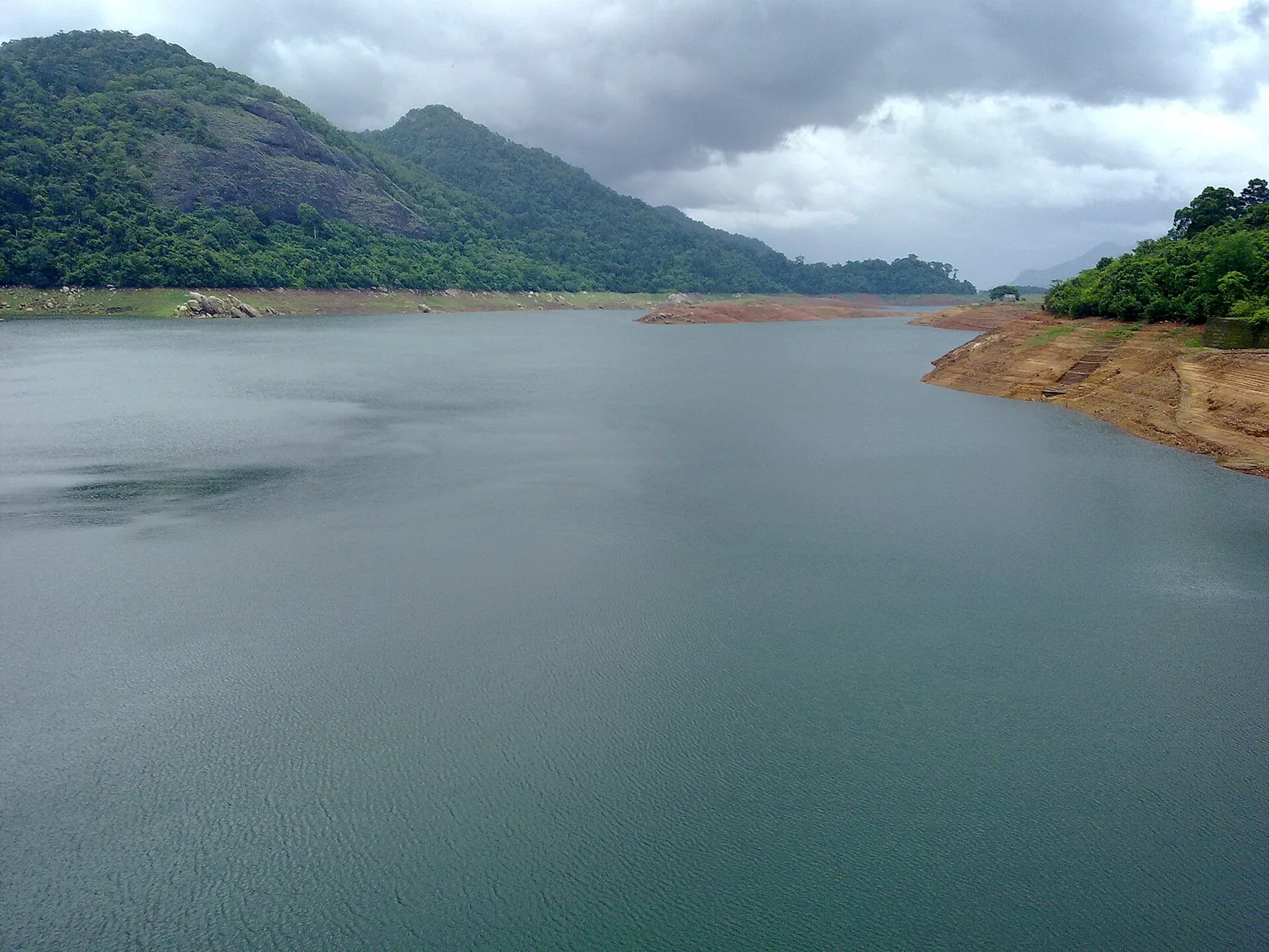
Every reservoir is a place that used to be somewhere else. The water at Thenmala is beautiful, and about twenty-three square kilometres of forest are underneath it.
What is unusual here is that the record of who paid for that, and how much they got, is public, itemised and in print — not in an activist pamphlet but in the World Bank’s Staff Appraisal Report of 24 May 1982, in the section headed Resettlement.
The paragraph
It runs, in full, like this. The Kallada dam will submerge about 2,300 hectares of predominantly government-owned forest land. About 52 hectares of the submerged area is privately owned. The state has a policy for adequate compensation for land submerged by reservoirs; the privately owned 52 hectares have been acquired and compensation of ₹60,000 per hectare has been paid.
Then: arrangements have also been made to compensate 277 landless families who had lived on about 70 hectares of government forest in the reservoir area for many years but have no legal title. The state decided to allot alternate lands on 128 hectares of government forest about 20 kilometres away from the dam site. Land clearing has started. ₹500 to ₹2,000 will be given for dismantling and rebuilding dwellings.
The asymmetry
Set the two halves side by side, because the document does.
Fifty-two hectares had title. They were acquired and paid for at a stated rate per hectare, which comes to about ₹31 lakh in 1982 money for the group.
Seventy hectares did not have title — more land than the titled portion, held by 277 families who had lived on it, in the report’s own phrase, for many years. What they were offered was other land, twenty kilometres away, in a forest that had to be cleared first, plus between five hundred and two thousand rupees to take a house apart and put it back up at the other end.
We are not going to editorialise past what the document says, because it does not need help. The people with the weakest paper claim had lived there longest and received the least fungible compensation. That is not a Kerala fact or a 1982 fact; it is what happens at almost every large reservoir anywhere. It is simply unusually well documented here.
The one thing worth adding is the timescale. Those families were moved for a dam whose first stone was laid on 26 January 1972 and which was commissioned on 26 May 1986 — a project already a quarter of a century old when the appraisal was written, and one that took another four years to finish after it.
What the water bought
The other side of the ledger is real, and a page that gives one without the other is not telling the truth either.
The scheme was designed for a net cultivable command area of 61,630 hectares. During execution, canals including the Kayamkulam branch were dropped, and what it now serves is 53,514 hectares across 92 villages, in nine taluks of Kollam, Pathanamthitta and Alappuzha districts — Punalur, Pathanapuram, Kottarakkara, Kollam, Kunnathur, Karunagappally, Adoor, Mavelikkara and Karthikappally. The main canals run 56 kilometres on the left bank and 70 on the right, with branch canals of 62 and 48 kilometres beyond them, plus distributaries.
That is a very large number of farms, in three districts, watered by this wall. The Kerala Irrigation Department calls it the largest irrigation project in the state — worth noting, because most tourism copy calls it the second largest.
And a small grace note from the same 1982 report, which we like: water samples taken at various points in the Kallada river show that the water is of exceptionally good quality for irrigation.
The money
At the 1982 appraisal, the remaining works alone came to about ₹136 crore, financed by an IDA credit of US$60 million and an IBRD loan of US$20.3 million.
There is a much more dramatic figure in circulation — that the project began in 1961 at an original cost of ₹13.28 crore and was revised to ₹728 crore at 1999 rates, a cost escalation of over five thousand per cent. It reads as though it came from a state planning or audit document, and it may well be right. We could trace it only to secondary compilations, so we give it here as unverified and anchor on the World Bank number instead.
Why put this on a travel page
Because the view is better when you know what it is. This reservoir is not a lake; it is a decision, taken over decades, with named beneficiaries and unnamed costs, and the paperwork survives.
And because the story does not end at the shoreline. Eighty kilometres downstream, at the river’s mouth, the islets of Munroe Thuruthu have been losing land since the sediment this river used to carry stopped arriving. That is the other end of the same ledger, and it has its own page here.
Frequently asked questions
How much land did the reservoir submerge?
About 2,300 hectares — roughly twenty-three square kilometres — predominantly government-owned forest, according to the World Bank’s 1982 appraisal of the project.
Was anybody compensated?
Yes, in two very different ways. About 52 hectares were privately owned and were acquired at ₹60,000 per hectare. Another 277 families had lived on about 70 hectares of government forest "for many years" with no legal title; they were allotted alternative land on 128 hectares of government forest about 20 km away, and given ₹500–₹2,000 to dismantle and rebuild their dwellings.
How long did the project take?
Decades. The foundation stone was laid on 26 January 1972; the 1982 World Bank appraisal recorded that completion of the dam was scheduled for early 1984; it was commissioned on 26 May 1986 and dedicated to the nation on 5 January 1994.
What does the scheme irrigate today?
53,514 hectares across 92 villages in nine taluks of Kollam, Pathanamthitta and Alappuzha districts. It was designed for 61,630 hectares, but canals including the Kayamkulam branch were dropped during construction.
Is this the largest irrigation project in Kerala?
Its own department says so. The Kerala Irrigation Department’s project page opens by calling the Kallada scheme the largest irrigation project in the state, although most tourism pages call it the second largest.
