What to expect
Highlights
- Reservoir scenery
- Managed boat-house trips
- Pykara upland landscape
Pykara Lake is a reservoir-and-boat-house outing west of Ooty, with managed motorboat trips and a landscape of grassland, shola and plantation forest.
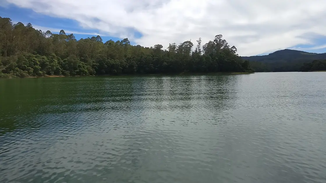
Pykara Lake is a reservoir-and-boat-house outing west of Ooty, with managed motorboat trips and a landscape of grassland, shola and plantation forest. Book the activity offered at the official boat house, not a generic “Pykara package”. Boat capacity, ride length and operating conditions determine the experience.
The reservoir lies upstream of Pykara Falls. Although visitors often combine them, the lake is a boating stop and the falls is a separate walking/viewing stop.
Ask for the full boat charge, capacity and duration before paying. Wear the life jacket throughout and follow instructions about seating and movement.
The surrounding banks are part of a sensitive upland landscape. Observe animals from a distance, take litter out and do not leave the visitor area in pursuit of a photograph.
For the visit itself, allow one to two hours plus road travel. The best time is a calm-weather daylight boating session. Confirm the current boat category and waiting time. Allow separate travel time if adding Pykara Falls. Keep the supplied life jacket fastened and do not approach wildlife.
A calm-weather daylight boating session.
Live forecast loads in your browser.
Sun and moon are calculated for this location and shown in IST. Photography windows are the hour around sunrise and sunset; the sunset bearing is degrees clockwise from true north. Moon phase is accurate to about half a day.
Verified hotels, homestays, restaurants, experiences, sights, shops and rentals around Pykara Lake — commission-free, with direct contact. Filter by what you need.
A bakery and dining room whose own description of its cooking is European. Expect modern dishes alongside country-style classics.
A restaurant in the town centre. Its own page can no longer be read, so the number below comes from the open map data rather than from the business.
Book with the place itself. India’s cyber-crime coordination centre warned in April 2025 that convincing copies of hotel and pilgrimage booking sites are being pushed through sponsored search and social ads, taking payment for rooms the property never hears about. Every listing here links to the business’s own contact details and its own Google or Bing profile — we take no commission and sit in nobody’s payment path. If a booking page reached you through an ad, check the address bar against the property’s own site before you pay. Fraud can be reported on cybercrime.gov.in or on 1930.
Find food, accommodation and activities across Ooty. Browse the guides for places to eat, stay and explore along your route.
27 more places around Ooty. Open a guide to plan the visit and onward journey.
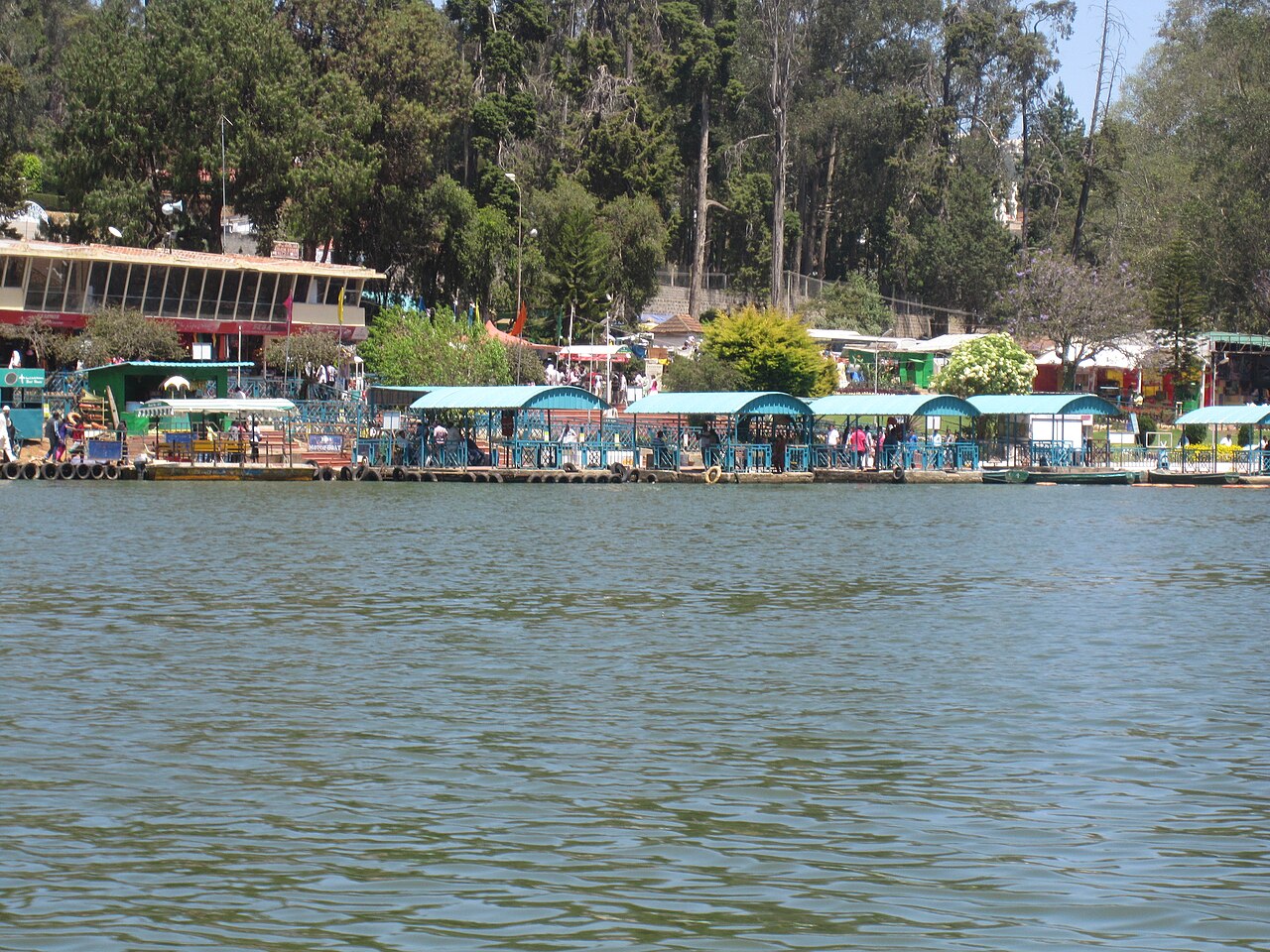
An artificial lake created in 1824 by John Sullivan, the founder of Ooty, now used for boating amid eucalyptus-lined banks.
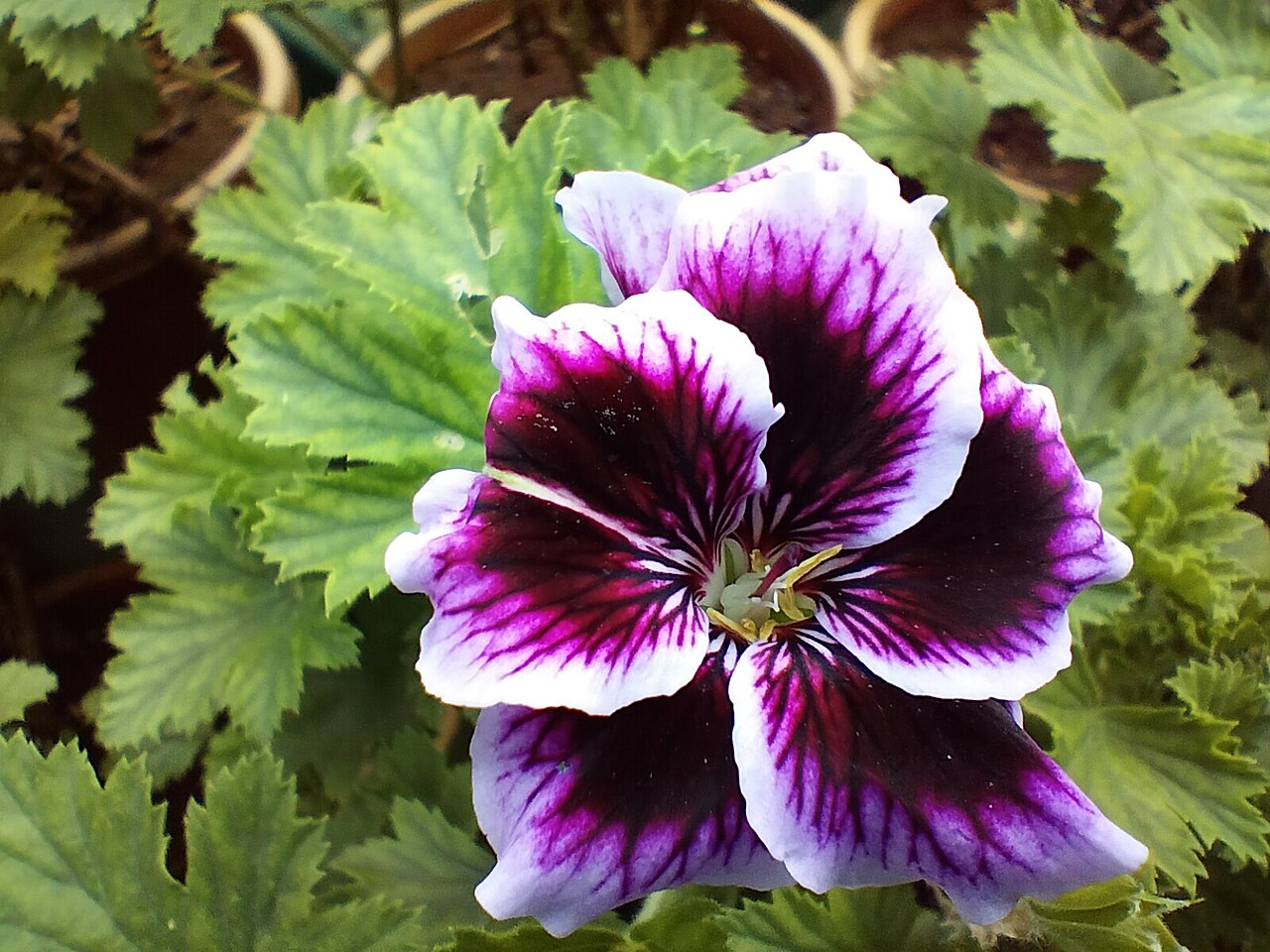
A terraced garden of 55 acres below Doddabetta, run by the Tamil Nadu Horticulture Department, holding a fossilised tree trunk reckoned at 20 million years old and hosting the flower show every May. Its founding year is published two ways, 1848 and 1897.
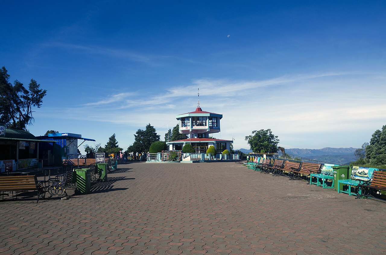
The highest peak in the Nilgiris and in Tamil Nadu, with a telescope house at the top. Three arms of the government publish three different heights for it — 2,623 m, 2,636 m and 2,637 m.
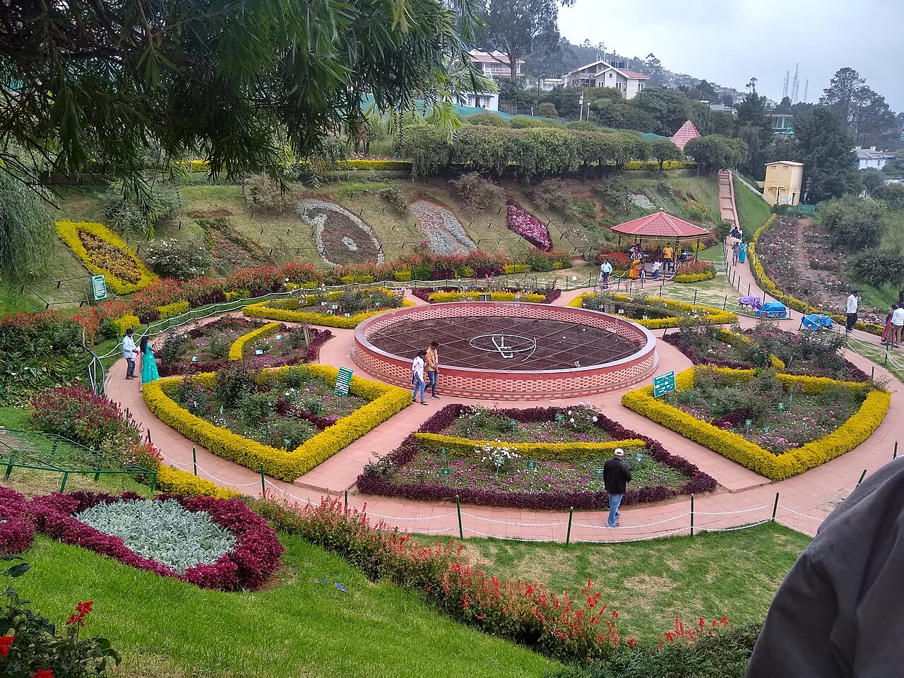
Four hectares in five terraces on the slopes of Elk Hill, with more than 3,000 varieties of roses on the district administration’s own count, and an International Rose Society award for the best rose garden in South Asia in 2006.
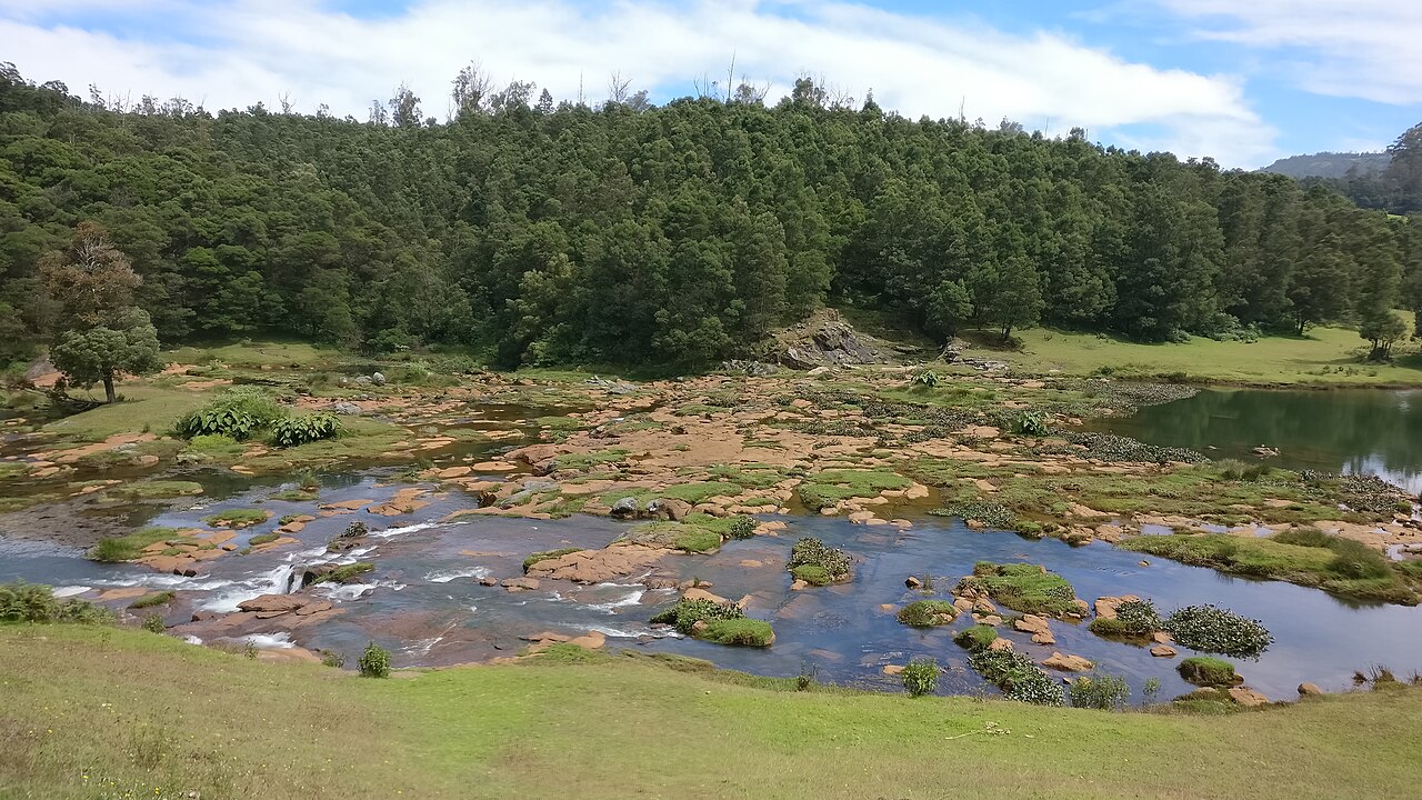
2.0 km · 25 min walk
The Pykara river drops here in two stages of 55 and 61 metres, on the Mysuru road 22.5 km from the Ooty bus stand by routed road — the municipality publishes it as about 20 km. The river above the falls is held sacred by the Toda.
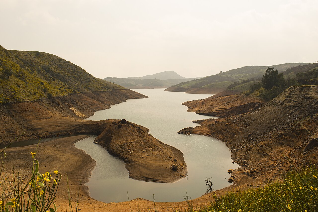
A reservoir among sholas and grassland on the road toward Upper Bhavani, 22.5 km from the Ooty bus stand by routed road — the district and the municipality both publish it as 28 km. It sits inside a protected forest zone where access is controlled, so check before setting out.
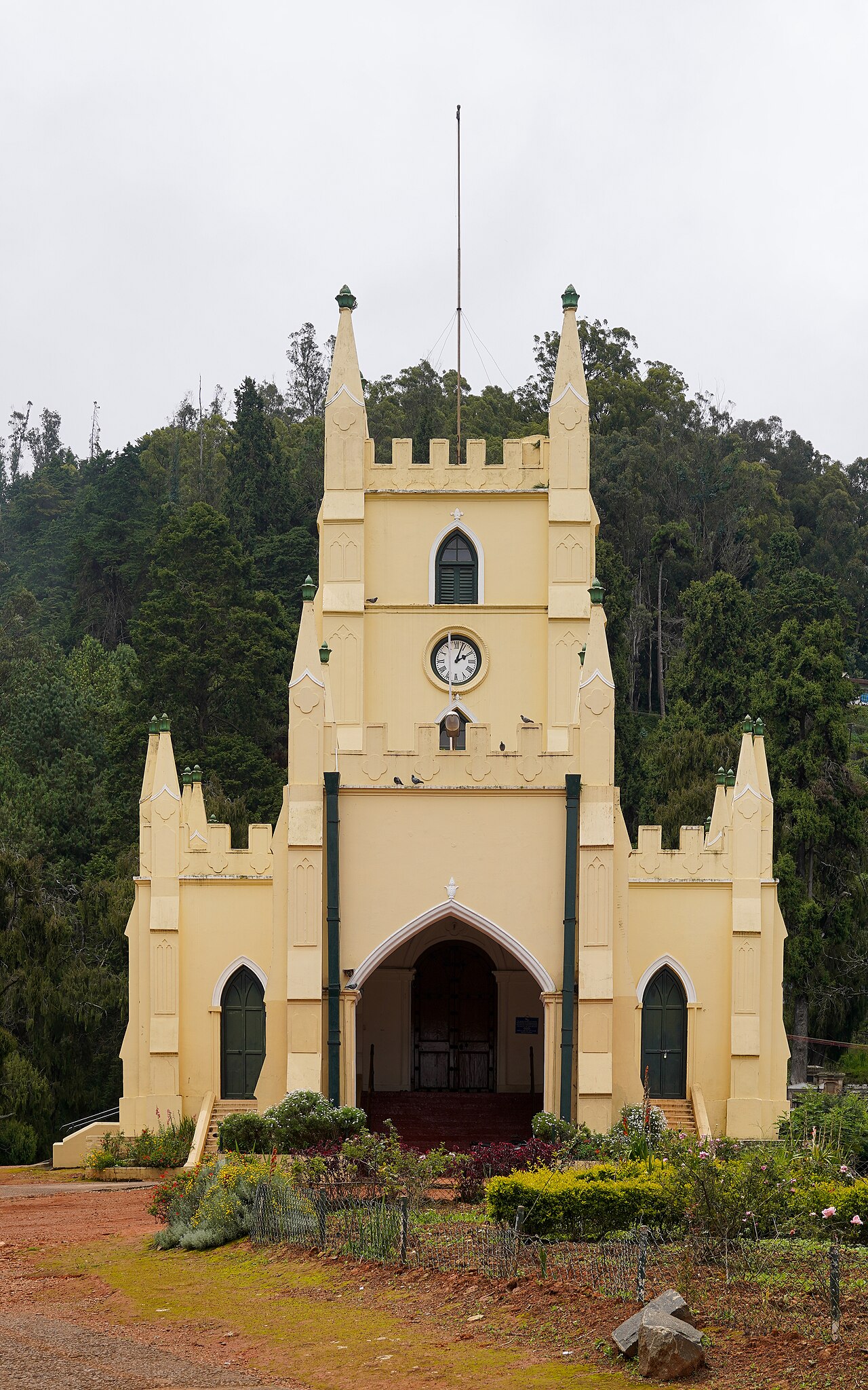
Consecrated in 1830, this is the oldest church in the Nilgiris, built partly from timber salvaged from Tipu Sultan's summer palace in Srirangapatna.
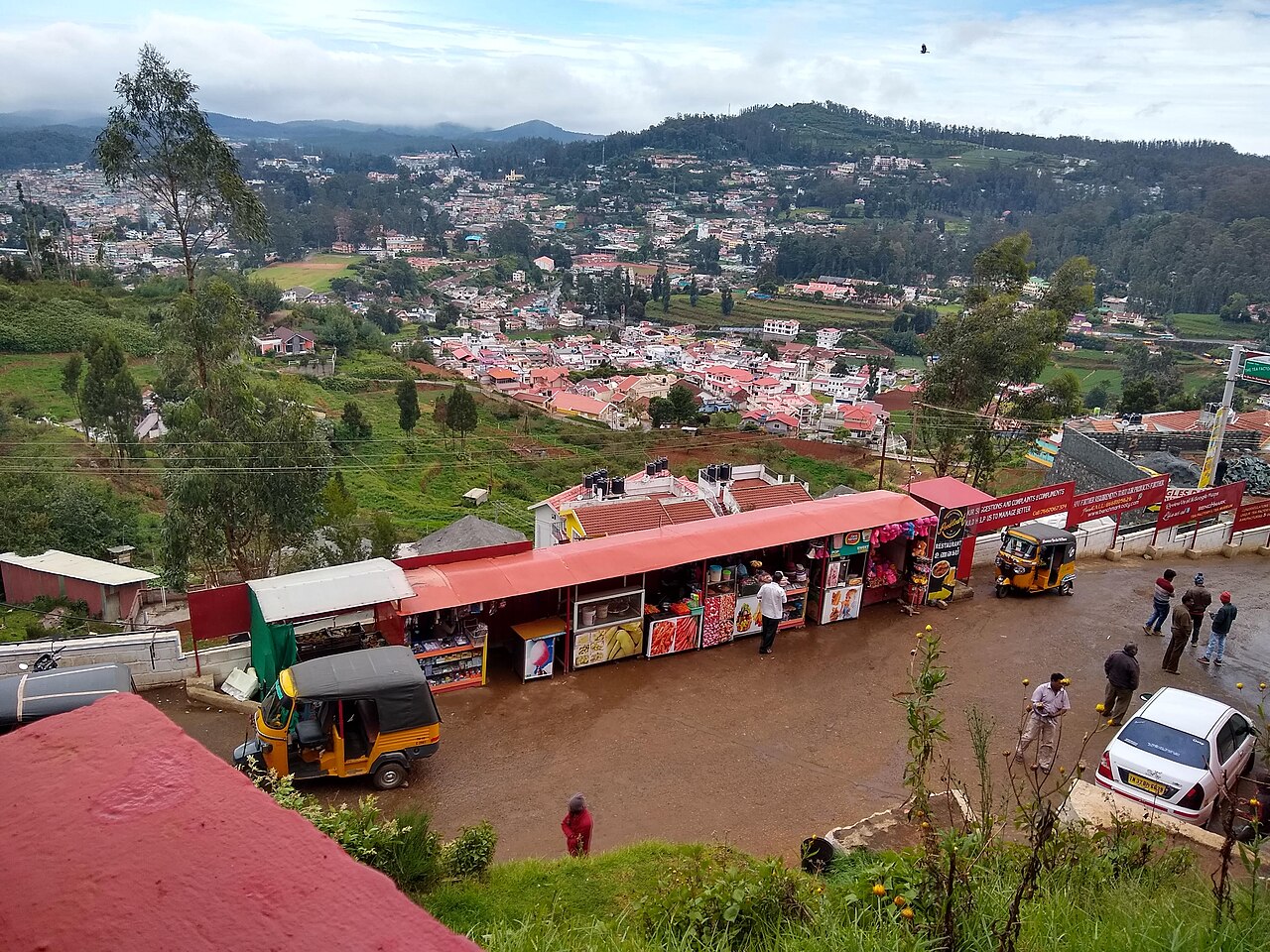
A working tea factory near Ooty with a small museum explaining tea-processing history and a shop selling estate teas.
9.2 km · ~15 min by cab
A waterfall on the Ooty-Gudalur road near Kalhatti village, plunging beside an old Shiva shrine set into the rock.
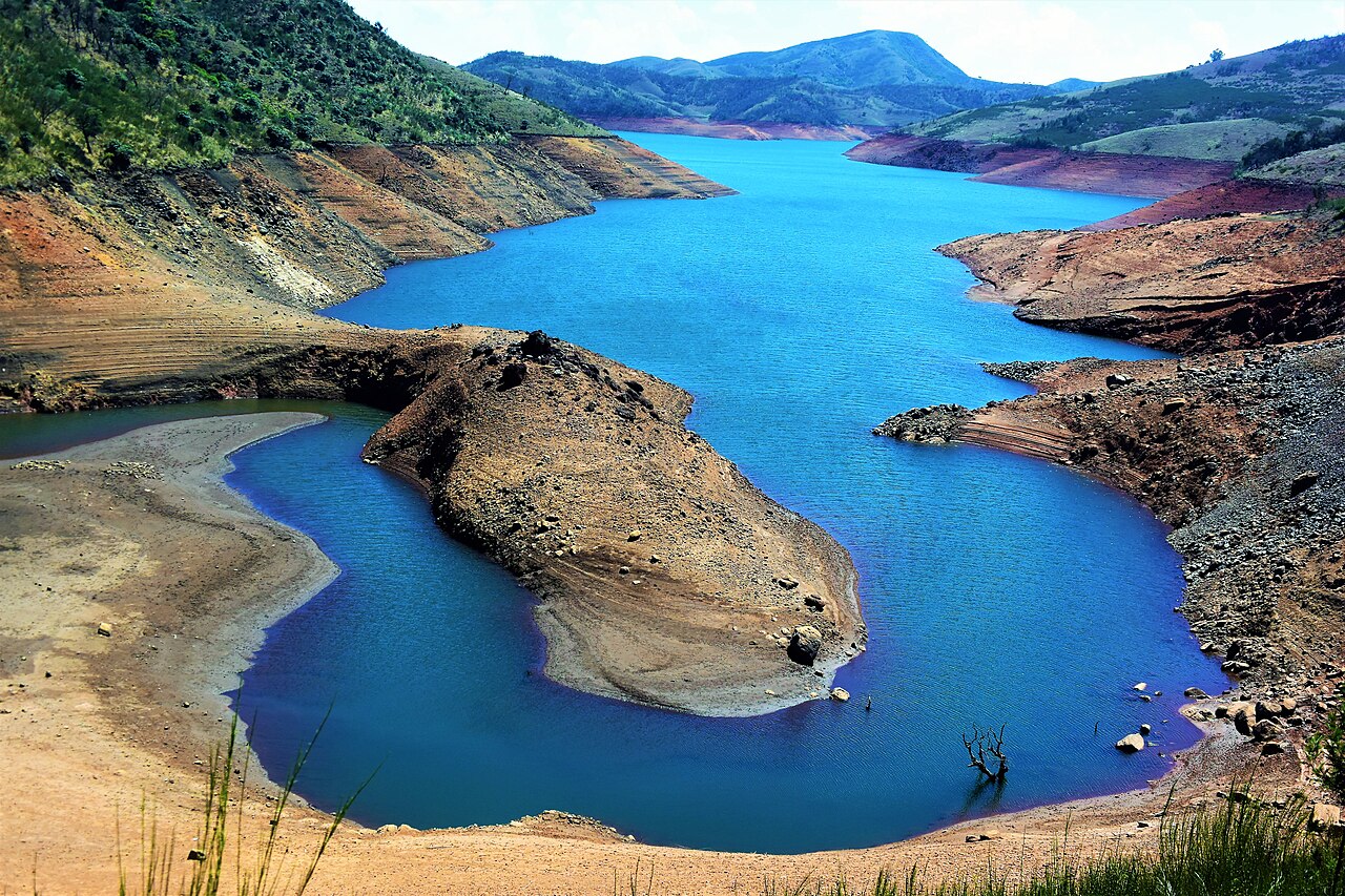
A quiet reservoir near Avalanche in the upper Nilgiris, surrounded by tea plantations and sholas, less visited than Ooty Lake.
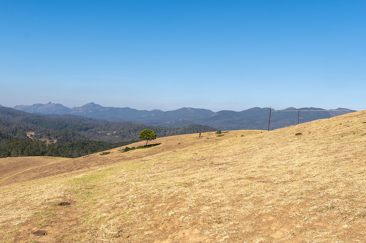
8.5 km · ~14 min by cab
Rolling open grassland west of Ooty named after a former Governor of Madras, used for golf, horse riding, and as an ecologically sensitive shola-grassland tract.
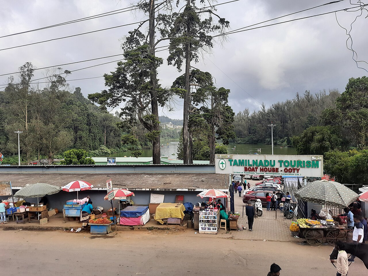
An indoor exhibit near the Botanical Garden displaying handcrafted thread-and-wire replicas of flowers, said to be one of the largest thread gardens in the world.
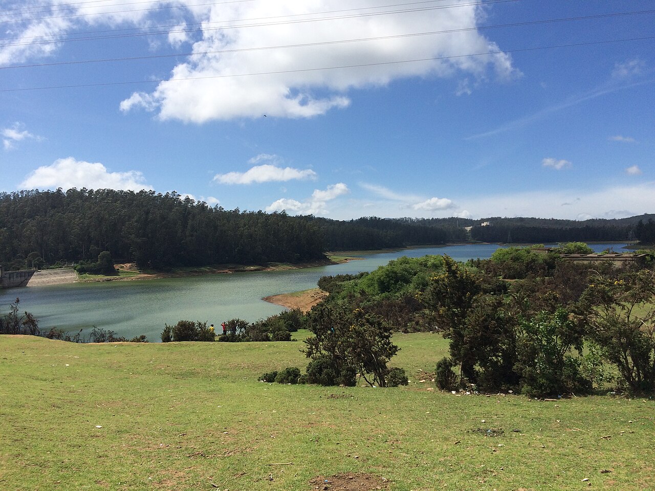
6.0 km · ~15 min by auto
A small reservoir and dam near Ooty on the outskirts of town, popular as a quiet picnic and photography spot away from the crowds.
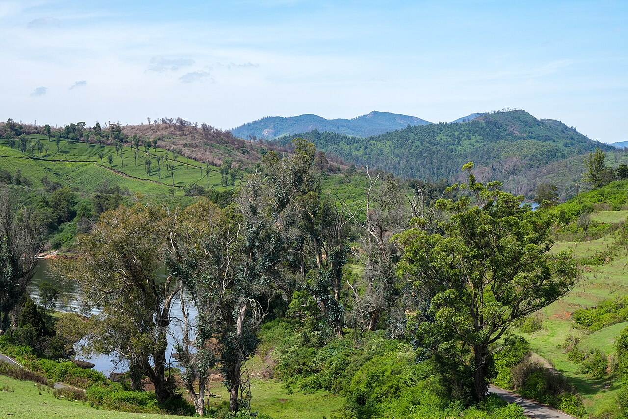
4.8 km · ~12 min by auto
A tea-estate area west of Ooty toward Gudalur, known for scenic valley views, a reservoir, and rolling tea gardens.
An indoor wax museum set in a 19th-century colonial mansion about a kilometre from Ooty Railway Station. It displays life-size wax figures of Indian freedom fighters, leaders and spiritual icons such as Mahatma Gandhi, A.P.J. Abdul Kalam and Mother Teresa, alongside dioramas of village life. It is one of Ooty's popular family attractions.
Part of the Tribal Research Centre campus at Muthorai near Ooty. It preserves ornaments, tools, weapons, pottery and artwork documenting dozens of ethnic communities of Tamil Nadu, including the Toda, Kota, Kurumba and Irula tribes of the Nilgiris. It is listed on the official Nilgiris district tourism site.
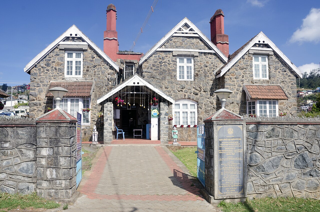
Regarded as the first British bungalow in Ooty, built around 1822 by John Sullivan, the collector who founded the hill station. Locals nicknamed it 'Kal Bangla', the stone bungalow. It now stands within the Government Arts College campus and is a heritage landmark of the town.
The former Government House stands on the western slopes of Doddabetta and served as the summer seat of the Governor of Madras during the colonial era. Built in mid-19th-century colonial style amid extensive gardens, it remains a heritage landmark listed on the Nilgiris district tourism site.
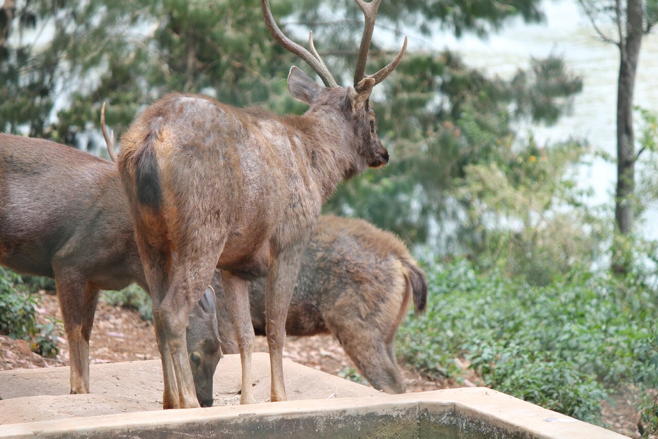
One of the highest-altitude deer parks in India, lying near Ooty Lake. Spread over wooded grounds, it shelters spotted deer, sambar and other herbivores and makes a short stop for families visiting the lake area.
A hilltop temple to Lord Murugan crowning Elk Hill in Ooty, reached by a climb to the summit. It commands wide views over the town and hosts a large Thaipusam festival in January-February. It is among the most visited pilgrimage sites in Ooty.
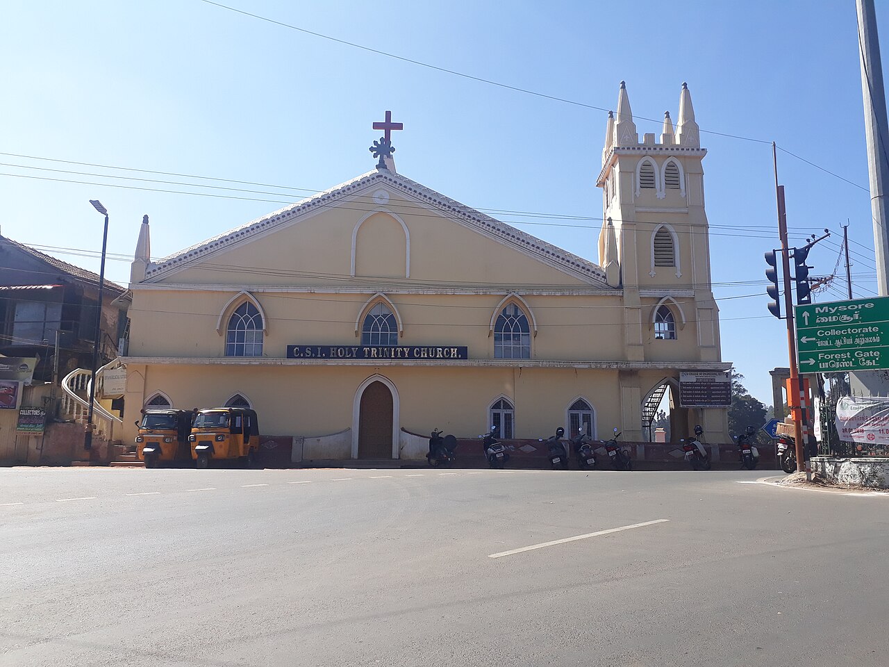
One of Ooty's oldest churches, a dedicated place of worship from 1858, built in Gothic and Tudor style. The Tamil scholar George Uglow Pope helped initiate it and served as its chaplain in 1858-59. It was originally used as a school on weekdays and a church on Sundays.
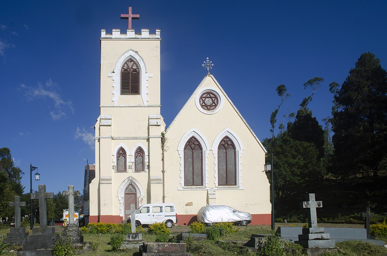
Built in 1870, St. Thomas Church overlooks Ooty Lake and holds the grave of William Patrick Adam, a former Governor of Madras. Its picturesque setting served as a filming location for the Hollywood film 'A Passage to India'. It has been a town landmark for around a century and a half.
11.0 km · ~18 min by cab
A temple dedicated to the goddess Mariamman, the folk deity associated with rain. Its annual Mariamman festival, held in April, draws large crowds of devotees to Ooty. It is one of the town's principal Hindu places of worship.
Tiger Hill lies at the lower end of Doddabetta peak near Ooty and offers panoramic views of the surrounding Nilgiri ranges and valleys. Its grassy slopes and quiet trails make it a spot for short treks and camping away from the busier tourist points.
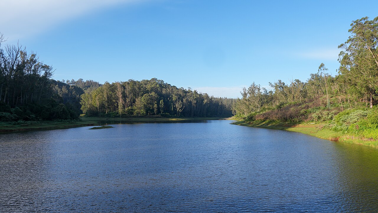
A quiet reservoir on Ooty's western circuit, framed by eucalyptus and pine slopes. Less frequented than Ooty Lake, it is valued for its calm setting and birdlife and is often included in half-day drives around the town.
7.0 km · ~17 min by auto
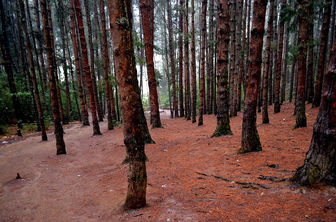
A dense stand of tall, closely planted pines on the slope below the Shooting Point area on the Ooty-Gudalur road. Its symmetrical rows of trees and filtered light have made it a favourite spot for photography and countless Tamil film songs. It is usually visited together with the adjoining 9th Mile Shooting Point.
11.0 km · ~18 min by cab
A reservoir on the Ooty-Gudalur side of the plateau, set amid tea slopes and eucalyptus. Nearby lies a historic government experimental agricultural and sheep-breeding farm. The calm waters and quiet surroundings make it a peaceful, lesser-known drive from Ooty.
Roampedia is commission-free — own or know a stay, eatery, guide or shop near Pykara Lake? List it and it appears here once verified.
Add a nearby businessEntry: Boat and visitor charges vary by category; use the authorised counter.
Approximately 20–25 km west of Ooty by road.
If you need step-free access, contact the site before travelling. Ask about a level entrance, steps along the route, the nearest drop-off point, seating and accessible toilets.
Emergency numbers are verified against official government and state tourism sources. 112 works anywhere in India.
The Pykara river drops here in two stages of 55 and 61 metres, on the Mysuru road 22.5 km from the Ooty bus stand by routed road — the municipality publishes it as about 20 km. The river above the falls is held sacred by the Toda.
2.0 km · 25 min walk · straight lineA tea-estate area west of Ooty toward Gudalur, known for scenic valley views, a reservoir, and rolling tea gardens.
4.8 km · ~12 min by auto · straight lineA small reservoir and dam near Ooty on the outskirts of town, popular as a quiet picnic and photography spot away from the crowds.
6.0 km · ~15 min by auto · straight lineThe village 15.9 km up the Ooty road from Gudalur where quinine came from. On 30 August 1862 the Governor of Madras, Sir William Denison, planted out the first cinchona permanently established in the Nilgiris here, and the government factory that grew up around it was run by W. G. McIvor, the gardener who had brought the seedlings on. The plantations were worked by convicts, and at McIvor's own request five hundred Chinese prisoners were sent up to Naduvattam to do it — a piece of the hills' history that gets far less telling than the tea does. The cinchona estates are still there on the slopes above the highway, and the first hairpin below the village is the Frog Hill lay-by.
6.4 km · ~16 min by auto · straight lineA dense stand of tall, closely planted pines on the slope below the Shooting Point area on the Ooty-Gudalur road. Its symmetrical rows of trees and filtered light have made it a favourite spot for photography and countless Tamil film songs. It is usually visited together with the adjoining 9th Mile Shooting Point.
7.0 km · ~17 min by auto · straight lineRolling open grassland west of Ooty named after a former Governor of Madras, used for golf, horse riding, and as an ecologically sensitive shola-grassland tract.
8.5 km · ~14 min by cab · straight lineA lay-by on NH-181 at the first hairpin bend below Naduvattam, 12.2 km from Gudalur by routed road, looking across at the ridge that gives the place its name: seen from here the hills fold into the shape of a crouching frog. It is also signed as Valley View Point, and it is the spot to stand in if you want to see Needle Rock itself — the actual 1,440-metre rock, as opposed to the viewpoint named after it, rises about ten kilometres west across the valley alongside Morapu Malai. Tea estates, forested slopes and scattered hamlets fill the ground in between.
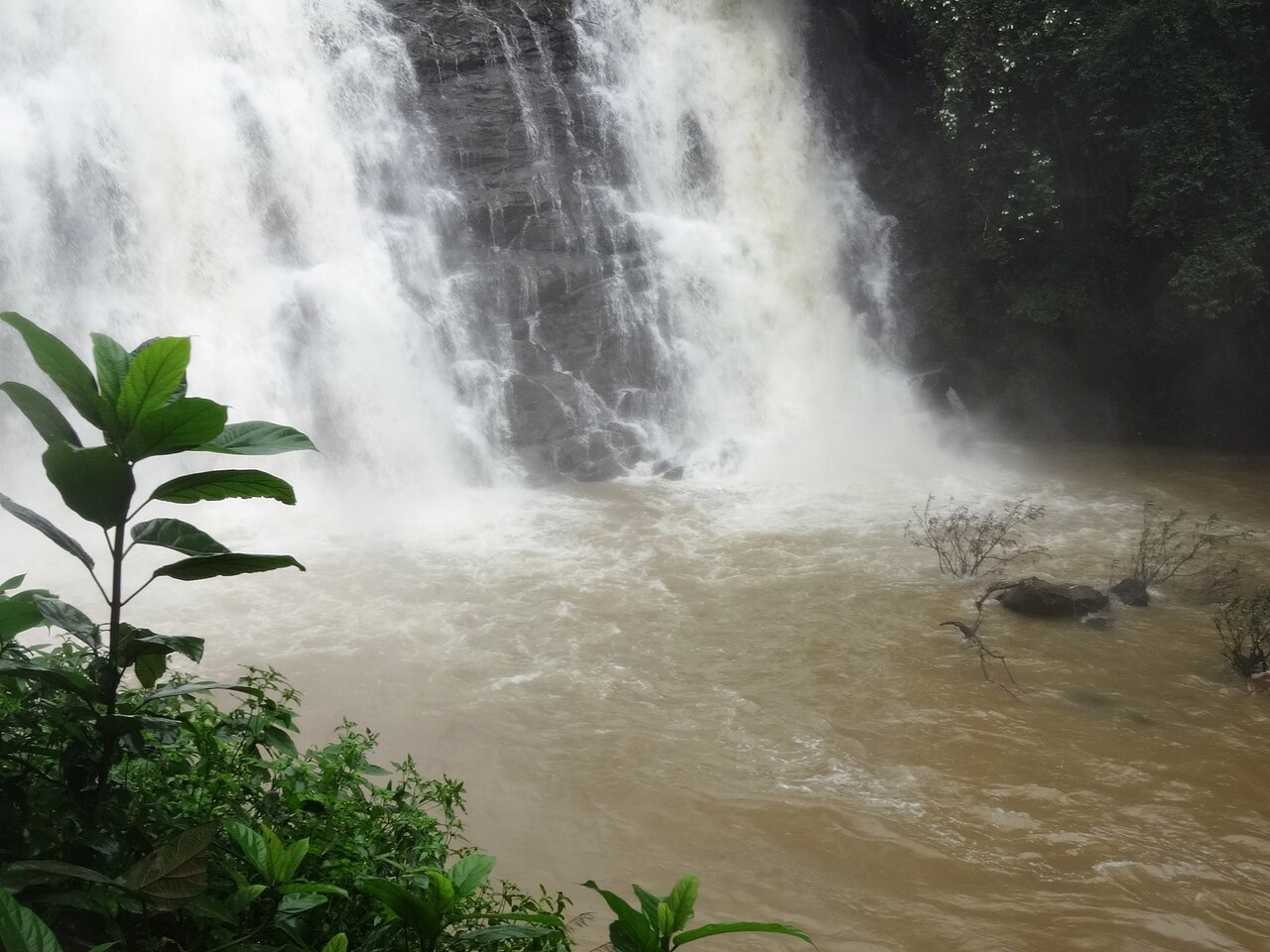
8.6 km · ~14 min by cab · straight lineA waterfall on the Ooty-Gudalur road near Kalhatti village, plunging beside an old Shiva shrine set into the rock.
9.2 km · ~15 min by cab · straight line
Oosi Malai — needle mountain — the conical rock 9.1 km east of Gudalur by routed road, on NH-181 towards Ooty; Wikipedia and Tamil Nadu Tourism both publish it as about 8 km. A walk of roughly a kilometre from the road brings you out on a near 360-degree panorama that takes in Wilson pine plantations, Frog Hill, Kokkal Hill, the Rockwood hills, the Silver Cloud tea estates, Gudalur town below and the Mudumalai forest running north; the official description adds Bandipur on a clear day, and names sunrise and sunset as the hours to be there. No entry charge or opening time is published by the Forest Department, whose Nilgiris ecotourism list does not include this viewpoint at all, so ask at the gate rather than trusting a figure off a booking site.
9.7 km · ~16 min by cab · straight line
The steep mountain road between the Masinagudi side and the Ooty plateau is subject to an official vehicle restriction. A Nilgiris district notice dated 29 April 2026 says tourist vehicles are not permitted; only TN-43 and local vehicles may use it, while eligible local residents with other registrations require a police entry pass. Visitors travelling between Masinagudi and Ooty should use the Gudalur route rather than following a shorter navigation suggestion onto Kalhatti Road.
10.9 km · ~18 min by cab · straight lineA temple dedicated to the goddess Mariamman, the folk deity associated with rain. Its annual Mariamman festival, held in April, draws large crowds of devotees to Ooty. It is one of the town's principal Hindu places of worship.
11.0 km · ~18 min by cab · straight lineA reservoir on the Ooty-Gudalur side of the plateau, set amid tea slopes and eucalyptus. Nearby lies a historic government experimental agricultural and sheep-breeding farm. The calm waters and quiet surroundings make it a peaceful, lesser-known drive from Ooty.
11.0 km · ~18 min by cab · straight lineBoat trips have their own categories and prices; check at the official counter.
Treat them as separate stops and confirm the practical road transfer locally.
A calm-weather daylight boating session.
Entry: Boat and visitor charges vary by category; use the authorised counter. Timings: Boat operations depend on the current schedule, weather and water conditions.
Confirm the current boat category and waiting time. Allow separate travel time if adding Pykara Falls.
Allow one to two hours plus road travel.
Nearby you can pair Pykara Falls (2.0 km), Glenmorgan (4.8 km), Kamaraj Sagar Dam (6.0 km), Naduvattam (6.4 km).
Keep the supplied life jacket fastened and do not approach wildlife.
Written about Pykara Lake itself — its history, its legends and the arguments about them.
These guides explore Ooty and the surrounding area. Choose a visit that fits your interests, allowing separately for travel between stops.
Route-level itineraries and practical guides for the rest of Tamil Nadu.
Photographs: Shanmugamp7 (CC BY-SA 4.0), Timothy A. Gonsalves (CC BY-SA 4.0), Saniya kousar (CC BY-SA 4.0). Wikimedia Commons.
