Budikote is a Kolar-district fort village and the birthplace traditionally and historically associated with Mysore ruler Hyder Ali, where a small memorial and fragmentary fort landscape survive among ordinary village streets.
The story of Budikote
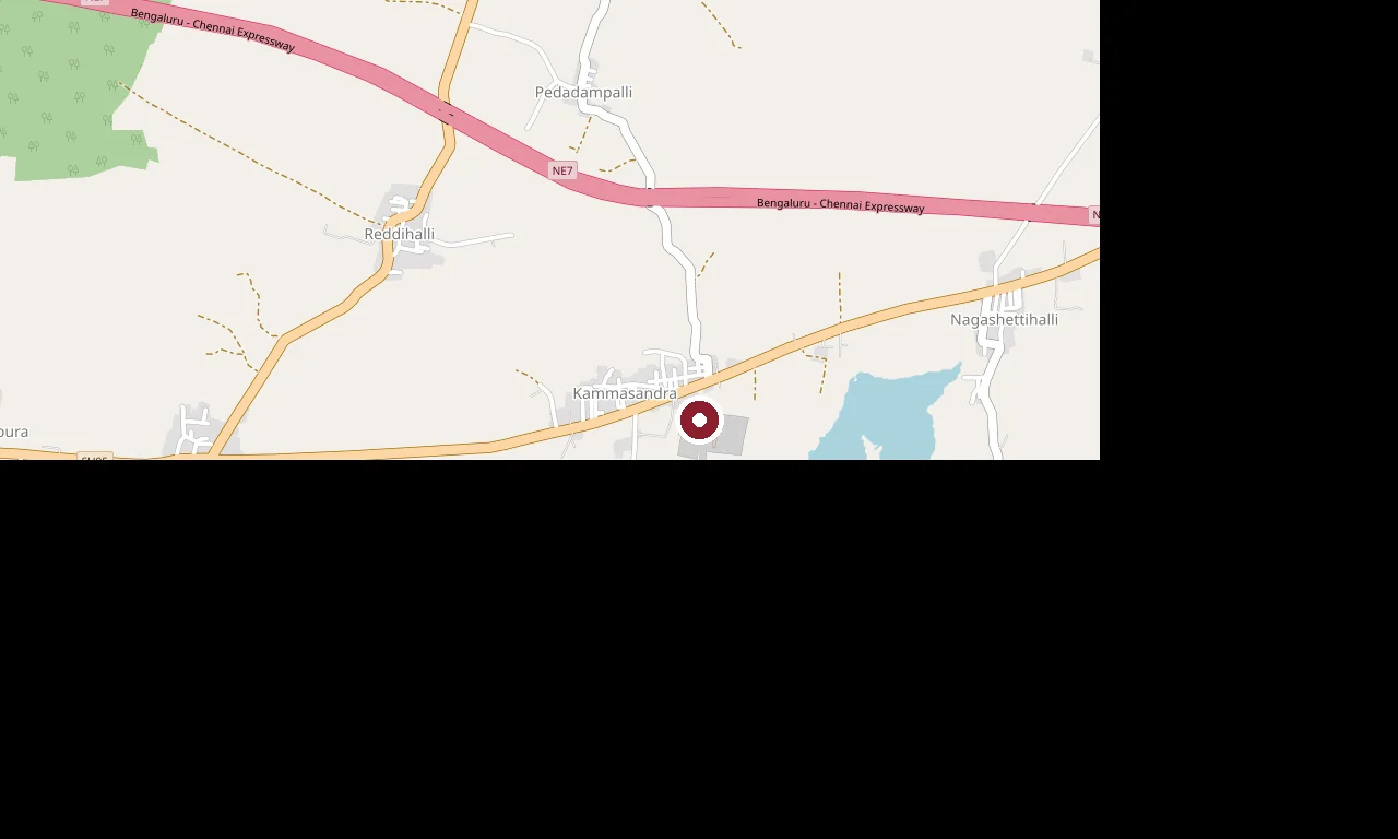
The directions link points to the surviving fort site rather than the centre of Budikote village. This distinction matters because the memorial landscape and the settlement centre are separate stops.
A public-domain Commons photograph shows the modest birthplace memorial associated with Hyder Ali. It is valuable precisely because it does not pretend Budikote is a complete palace-fort: surviving earthwork, stone and memory are scattered through a living settlement.
Budikote also carries an older name, Vibhutipura, and inscriptional traditions reaching before Hyder Ali’s lifetime. Keep those layers distinct. A fort village can hold medieval evidence and an eighteenth-century biography without every wall belonging to the same period.
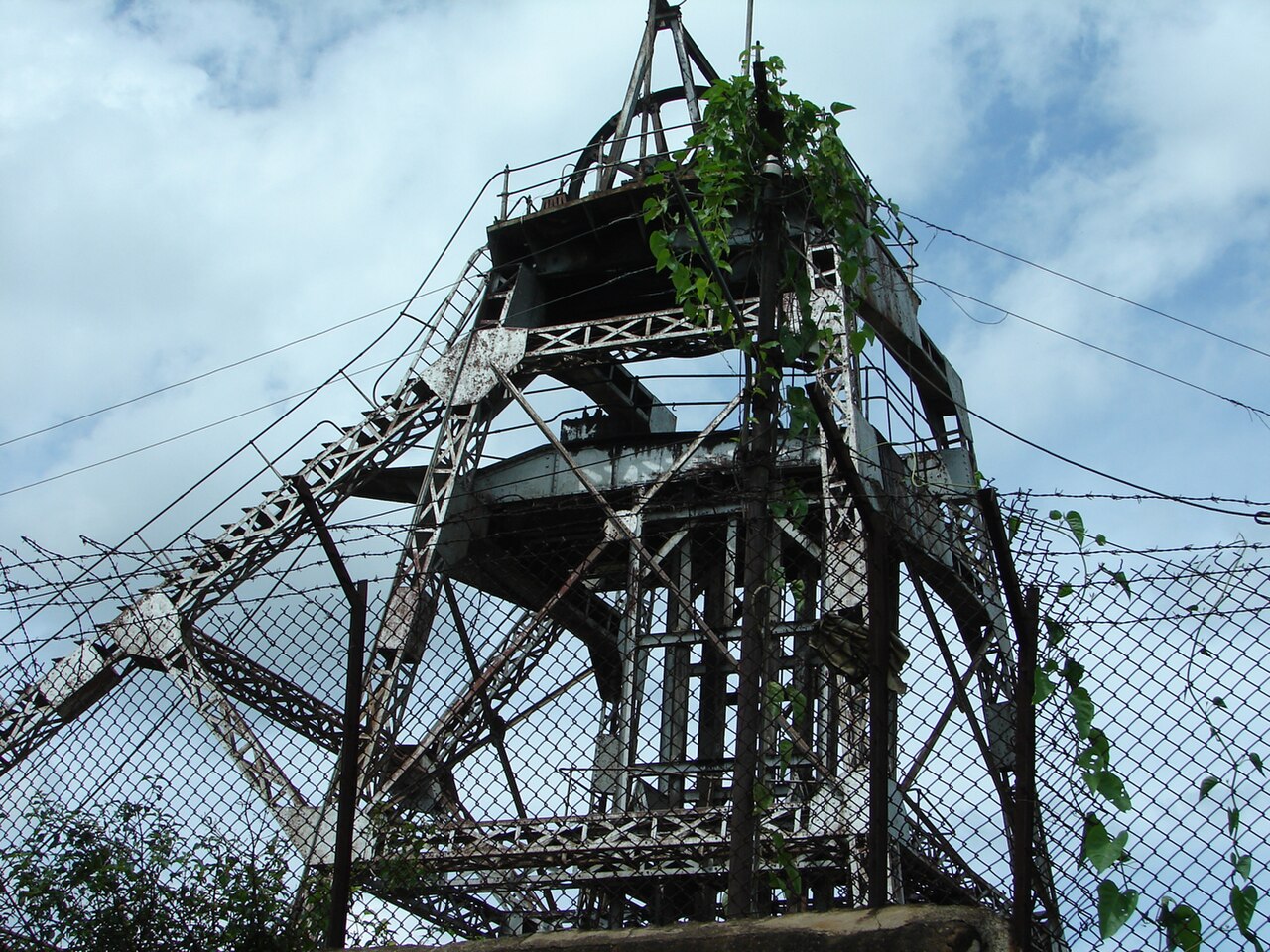
The practical circuit continues through Bangarapet and Kolar Gold Fields, then to Kotilingeshwara, Bethamangala or Bangaru Tirupati. Each is a separate drive; mine compounds and reservoir works are not open heritage extensions of the fort.
Tradition and living practice
A name explanation translates Budikote as “fort of ashes” and connects it with an old catastrophe. Treat this as local etymological tradition unless a primary inscription settles it.
The village’s strongest remembered identity is Hyder Ali’s birth; avoid extending that fact into unsupported claims that he built every surviving feature.
Read the full history of Budikote 93 more words
History
Budikote is identified as Hyder Ali’s birthplace; the surviving memorial is the clearest specific subject for the page.
The settlement is also known as Budhikote and historically as Vibhutipura.
The fort remains and the village centre are separate mapped places, so directions should lead to the historic feature rather than stop at the general settlement label.
Why visit
Visit the birthplace landscape of Hyder Ali.
See a small, fragmentary fort without turning it into a grander monument.
Understand several historical layers within one village.
Add a quieter stop to a Kolar and KGF road circuit.