What to expect
Highlights
- The century-old KGF-supply reservoir.
- The bird-watching and picnic setting.
- The old sailing-club history.
Bethamangala is a reservoir and dam on the Palar built in the early 1900s to supply water to the Kolar Gold Fields.

Once home to a British sailing club, it is now a quiet bird-watching and picnic lake in the KGF–Bangarapet country.
Road km to Kolar; ghat roads and traffic vary — allow extra.
October to February; after the monsoon and early mornings for birds.
Live forecast loads in your browser.
Sunset is in about 45 minutes.
Sun and moon are calculated for this location and shown in IST. Photography windows are the hour around sunrise and sunset; the sunset bearing is degrees clockwise from true north. Moon phase is accurate to about half a day.
Verified hotels, homestays, restaurants, experiences, sights, shops and rentals around Bethamangala (Palar Dam) — commission-free, with direct contact. Filter by what you need.

Book with the place itself. India’s cyber-crime coordination centre warned in April 2025 that convincing copies of hotel and pilgrimage booking sites are being pushed through sponsored search and social ads, taking payment for rooms the property never hears about. Every listing here links to the business’s own contact details and its own Google or Bing profile — we take no commission and sit in nobody’s payment path. If a booking page reached you through an ad, check the address bar against the property’s own site before you pay. Fraud can be reported on cybercrime.gov.in or on 1930.
Find food, accommodation and activities across Bangarapet. Browse the guides for places to eat, stay and explore along your route.
Walking routes start at Bethamangala (Palar Dam). Check the route and access before setting out, especially where a road, gate or waterway separates the stops.
2 more places around Bangarapet. Open a guide to plan the visit and onward journey.
30.8 km · 32 min drive
A ruined hill fort and heritage village about 15 km from Bangarapet, best known as the birthplace of Hyder Ali, the 18th-century ruler of Mysore — the earthwork-and-stone fort and its old temples anchor the village.

6.0 km · 8 min drive
A hilltop Sri Venkataramana Swamy temple at Guttahalli in Bangarapet taluk, said to resemble the great Tirupati shrine, with adjoining Varaha, Vinayaka and Anjaneya shrines — a busy Vishnu pilgrimage of the district. (Distinct from Andhra’s Tirupati and from Ghati Subramanya.)
Roampedia is commission-free — own or know a stay, eatery, guide or shop near Bethamangala (Palar Dam)? List it and it appears here once verified.
Add a nearby businessEntry: Free
Between KGF and Bangarapet; by road
If you are travelling by bus or ferry, check the return service with the operator before setting out. Leave time to reach the stop or jetty after your visit.
Ask at the bus stand for the time of the last service back, not the next one. If you miss it, an auto or app cab is the fallback — agree the fare before you get in.
If you need step-free access, contact the site before travelling. Ask about a level entrance, steps along the route, the nearest drop-off point, seating and accessible toilets.
Emergency numbers are verified against official government and state tourism sources. 112 works anywhere in India.
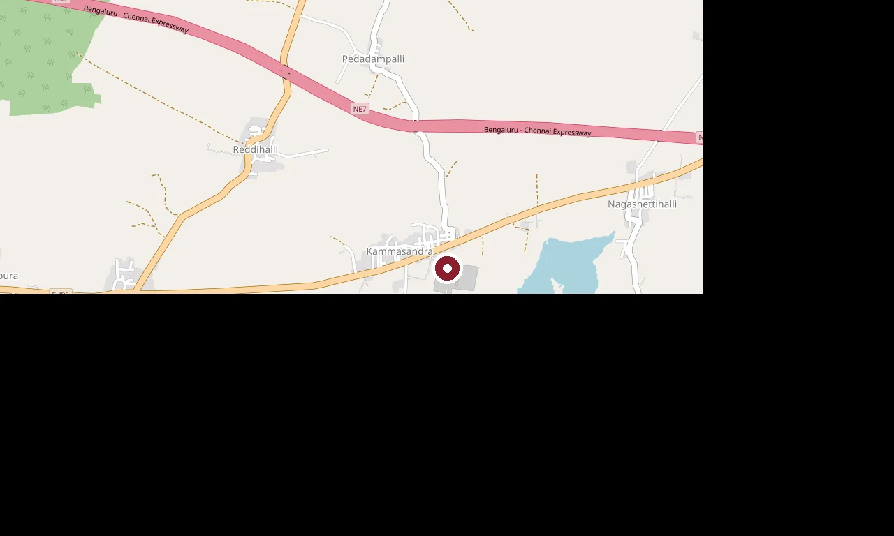
A temple complex at Kammasandra near KGF famous for its colossal ~33 m Shivalinga and ~11 m Nandi — among the tallest in the world — surrounded by fields of lakhs of small Shivalingas donated by devotees, with eleven subsidiary shrines.
4.5 km · ~11 min by auto · straight lineA hilltop Sri Venkataramana Swamy temple at Guttahalli in Bangarapet taluk, said to resemble the great Tirupati shrine, with adjoining Varaha, Vinayaka and Anjaneya shrines — a busy Vishnu pilgrimage of the district. (Distinct from Andhra’s Tirupati and from Ghati Subramanya.)
6.0 km · 8 min drive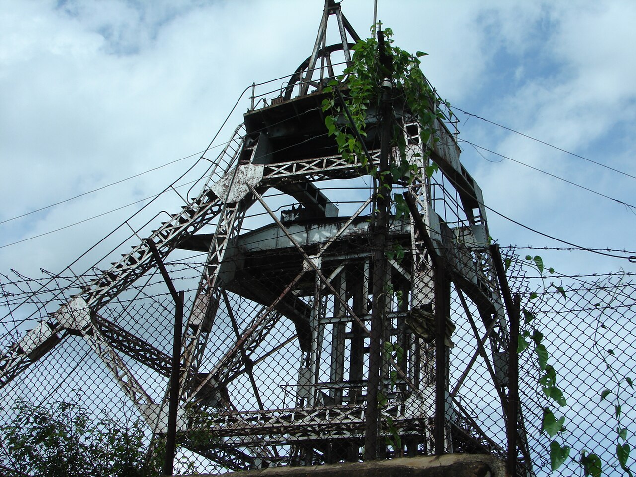
The historic gold-mining town about 30 km from Kolar, whose Bharat Gold Mines shafts — including Champion Reef, once among the deepest mines on earth — made it India’s gold capital and one of the first Indian towns to be electrified, in 1902; a landscape of colonial bungalows, clubs and deep-shaft heritage.
8.7 km · ~15 min by cab · straight line
A heritage temple village about 13 km from Mulbagal, called the "Gaya of the South" — the 10th-century Nolamba Ramalingeshwara group of ASI-protected Shiva temples (their lingas named for Rama, Lakshmana, Bharata and Shatrughna) below the Avani Betta hill, whose Sita temple is linked to the Valmiki-ashram and Lava–Kusha legend.
10.6 km · ~18 min by cab · straight lineA large historic reservoir of about 500 acres in the Mulbagal country, a scenic and bird-rich picnic lake fed by the plateau’s seasonal streams.
13.0 km · ~22 min by cab · straight line
A finely carved Shiva temple near Mulbagal with a Simha-vahini Durga shrine and an ornamental temple tank — a lesser-known heritage temple of the eastern plateau. (Distinct from the Virupaksha temple of Hampi.)
18.1 km · ~30 min by cab · straight line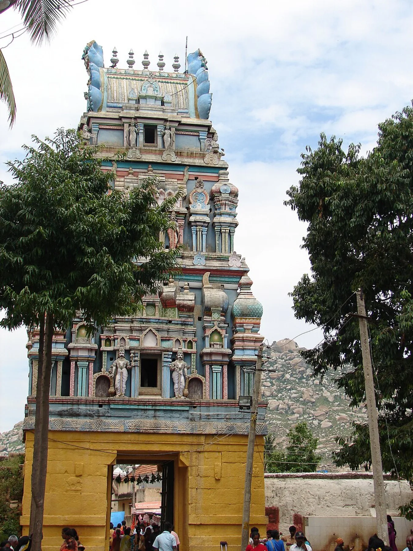
A revered Hanuman (Anjaneya) temple in Mulbagal town, associated with the Dvaita saint Vyasaraja, and housing shrines to Rama-Sita, Lakshmi-Narasimha and Venugopala — a central pilgrimage of the temple town called the "Dakshina Mandara".
18.4 km · ~31 min by cab · straight lineA cave shrine and Dvaita matha near Mulbagal around a swayambhu Yoga-Narasimha on a boulder, where the 15th-century saint Sripadaraja — teacher of Vyasaraja — lived and taught; the Sripadaraja Mutt and its brindavana stand here.
19.8 km · ~33 min by cab · straight line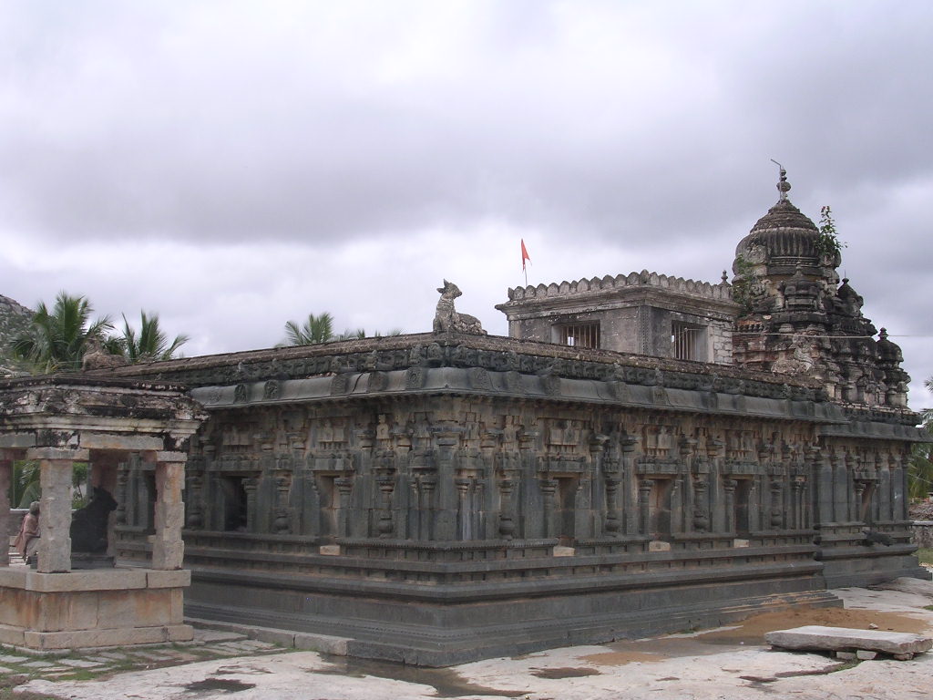
A famous temple at Kurudumale about 10 km north of Mulbagal, housing a ~4 m monolithic Ganesha said to be swayambhu, set in a finely carved Vijayanagara pillared mantapa — one of the largest Ganesha idols in Karnataka.
22.4 km · ~37 min by cab · straight line
A large 14th-century Vijayanagara Shiva temple near the old fort of Kolar town, an ASI Monument of National Importance with a soaring gopura, a deep temple tank and richly carved yali pillars. (Distinct from the Someshwara temples of Dharwad and Ulsoor.)
25.3 km · ~42 min by cab · straight line
The Ganga-and-Chola Shakti temple in Kolar town after which the district is named — a Dravida vimana of about the 10th–11th century with twin shrines to Kolaramma and the Saptamatrikas, and fine Chola-era bronzes and inscriptions.
25.3 km · ~42 min by cab · straight lineA ruined hill fort and heritage village about 15 km from Bangarapet, best known as the birthplace of Hyder Ali, the 18th-century ruler of Mysore — the earthwork-and-stone fort and its old temples anchor the village.
30.8 km · 32 min driveWalking and driving times are real routed distances, except the few marked “straight line”, which are direct-line estimates and will read short.Routing: © openrouteservice.org by HeiGIT | Map data © OpenStreetMap contributors
October to February; after the monsoon and early mornings for birds.
Entry: Free. Timings: Daylight hours.
Near Bethamangala, between KGF and Bangarapet; by road. A working reservoir — stay behind railings, do not swim and mind children near the water.
1 to 1.5 hours.
Nearby you can pair Kotilingeshwara (4.5 km), Bangaru Tirupati (6.0 km), Kolar Gold Fields (KGF) (8.7 km), Avani (10.6 km).
We have not published a story about Bethamangala (Palar Dam) itself yet. These cover Bangarapet and the wider district, with separate journeys between stops.
These guides explore Bangarapet and the surrounding area. Choose a visit that fits your interests, allowing separately for travel between stops.


Route-level itineraries and practical guides for the rest of Karnataka.
Photographs: Shyamal, CC BY-SA 3.0, via Wikimedia Commons (CC BY-SA 3.0). Wikimedia Commons.


