What to expect
Highlights
- Forest reservoir landscape
- Nature observation
- A separate excursion from the town lake
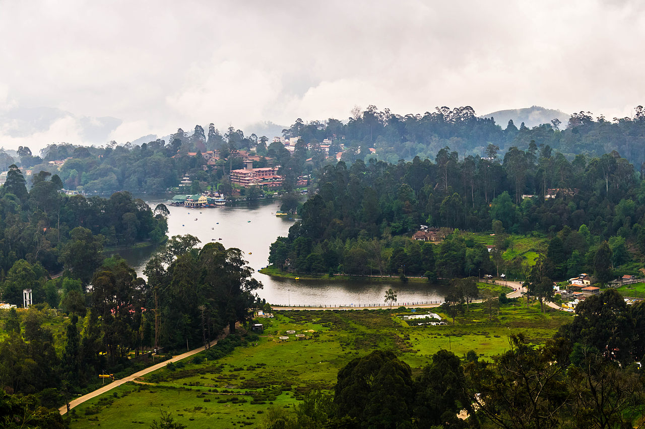
Berijam Lake is a forest reservoir excursion beyond Kodaikanal’s town attractions, with controlled access and a quieter nature-focused setting.
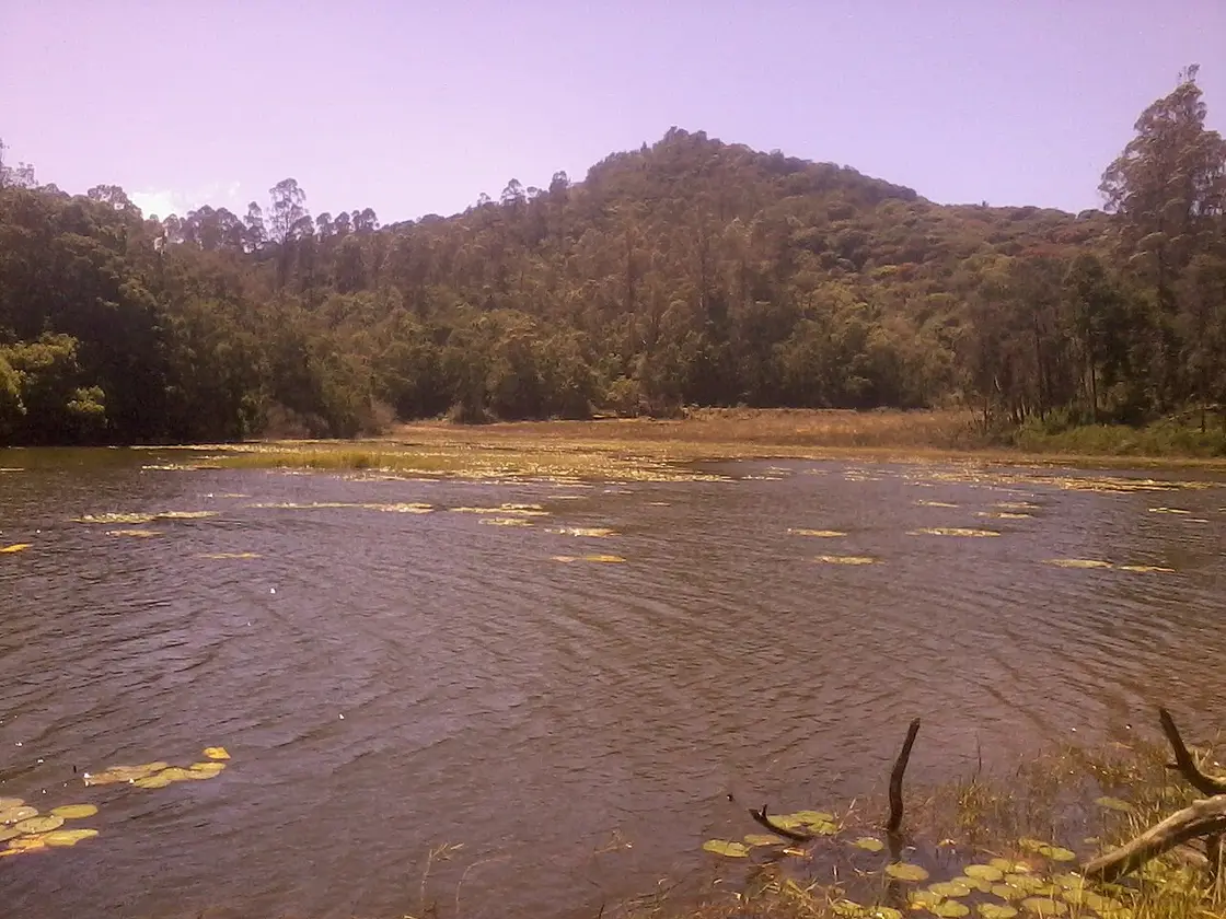
Berijam Lake is a forest reservoir excursion beyond Kodaikanal’s town attractions, with controlled access and a quieter nature-focused setting. Access is the first planning step. Do not book a taxi on the assumption that an ordinary sightseeing drive guarantees entry to the lake.
The sanctuary describes Berijam as a reservoir in protected forest and an important water source. The surrounding landscape is the reason to visit, not a town-style boating promenade.
Ask the forest visitor service about the current permit or organised-vehicle arrangement before fixing the day. Older accounts of private-vehicle entry should not be treated as a current entitlement.
Keep the outing flexible if weather or forest management closes access. Bring what you need for the permitted excursion, take all litter out and observe wildlife from a distance without feeding or pursuing it.
For the visit itself, reserve a half-day planning block, subject to the offered route and departure arrangement. The best time is on a confirmed access day with suitable weather, following the forest service’s schedule. Confirm forest access and transport arrangements first. Follow the assigned route and return instructions. Do not enter closed forest roads or approach wildlife.
On a confirmed access day with suitable weather, following the forest service’s schedule.
Live forecast loads in your browser.
Sun and moon are calculated for this location and shown in IST. Photography windows are the hour around sunrise and sunset; the sunset bearing is degrees clockwise from true north. Moon phase is accurate to about half a day.
Verified hotels, homestays, restaurants, experiences, sights, shops and rentals around Berijam Lake — commission-free, with direct contact. Filter by what you need.
Jeep safaris and guided walks — Perumal Peak, Dolphin's Nose, the pine forest, Bear Shola and Vattakanal. Address and phone from its own site.
Book with the place itself. India’s cyber-crime coordination centre warned in April 2025 that convincing copies of hotel and pilgrimage booking sites are being pushed through sponsored search and social ads, taking payment for rooms the property never hears about. Every listing here links to the business’s own contact details and its own Google or Bing profile — we take no commission and sit in nobody’s payment path. If a booking page reached you through an ad, check the address bar against the property’s own site before you pay. Fraud can be reported on cybercrime.gov.in or on 1930.
Find food, accommodation and activities across Kodaikanal. Browse the guides for places to eat, stay and explore along your route.
20 more places around Kodaikanal. Open a guide to plan the visit and onward journey.
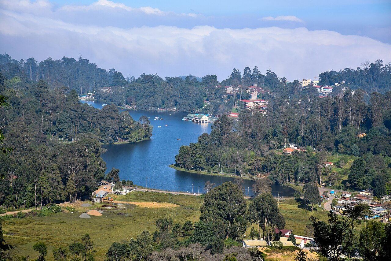
Star-shaped artificial lake built in 1863 by Vere Henry Levinge, the recreational centre of Kodaikanal, popular for boating and cycling around its bund.
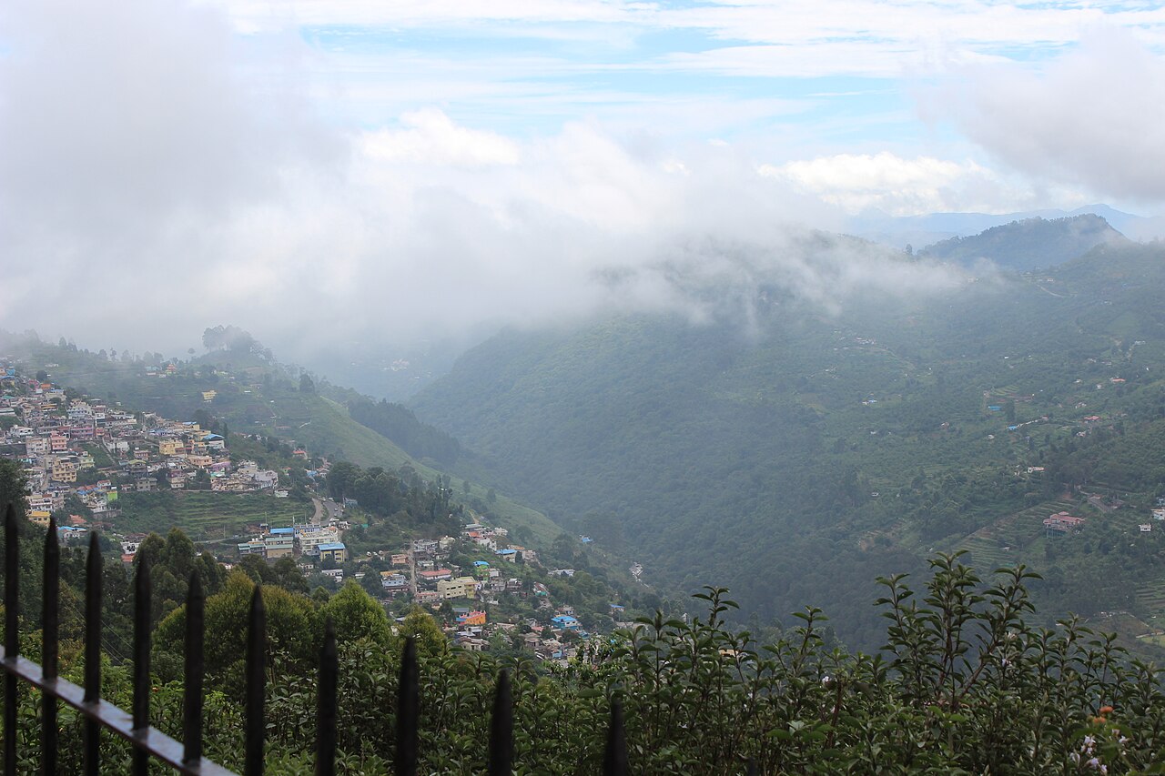
A 1 km paved cliff-edge promenade laid out by Lt. Coaker in 1872, offering panoramic views over the valley and plains below Kodaikanal.
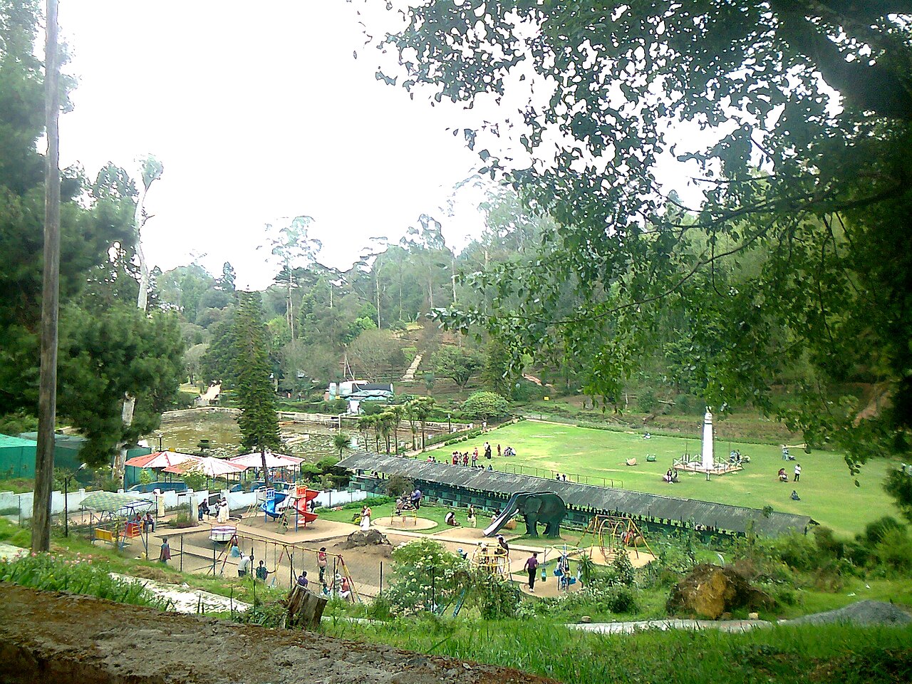
A 20-acre botanical garden beside Kodaikanal Lake laid out in 1908, home to hundreds of species of trees, shrubs and cacti and an annual flower show.
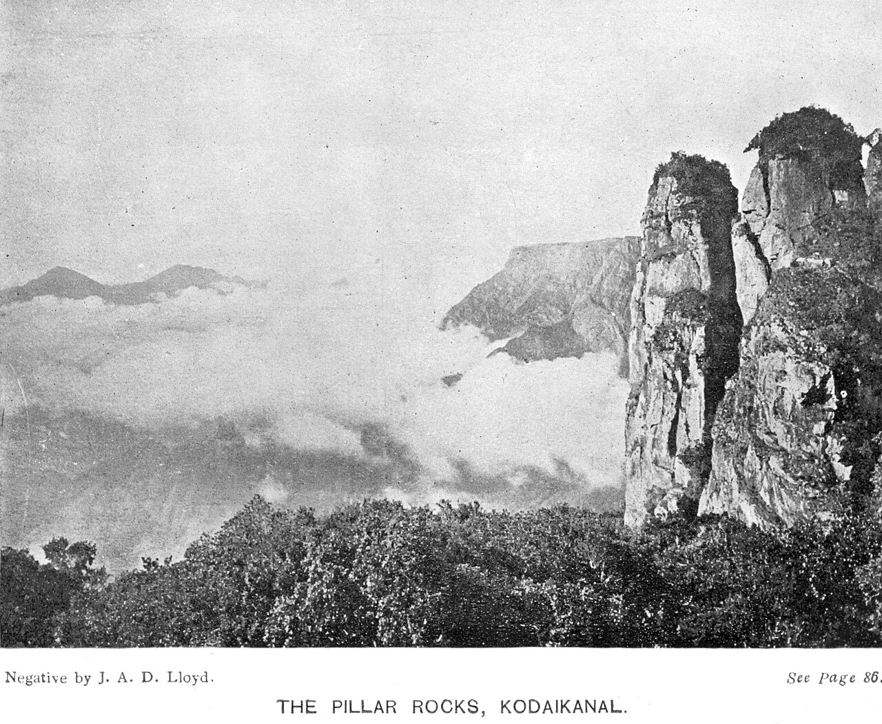
7.9 km · ~20 min by auto
Three giant granite boulders rising about 122 m vertically, a landmark viewpoint roughly 7 km from Kodaikanal Lake.
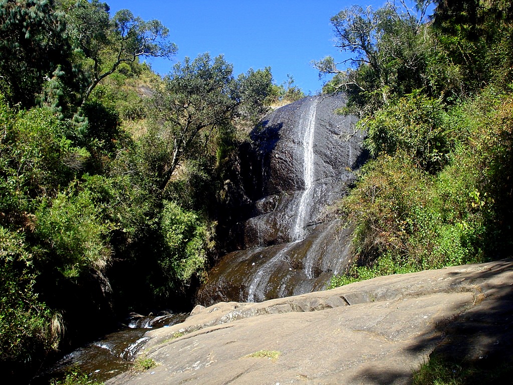
A seasonal cascade set in forest about 3 km from Kodaikanal Lake, named for bears that once came here to drink; flow depends on the monsoon.
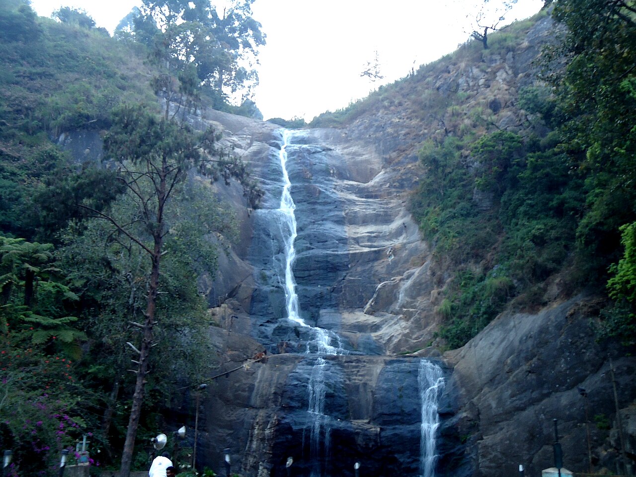
A roughly 30 m (100 ft) waterfall formed by the overflow of Kodaikanal Lake, on the ghat road about 8 km from town.
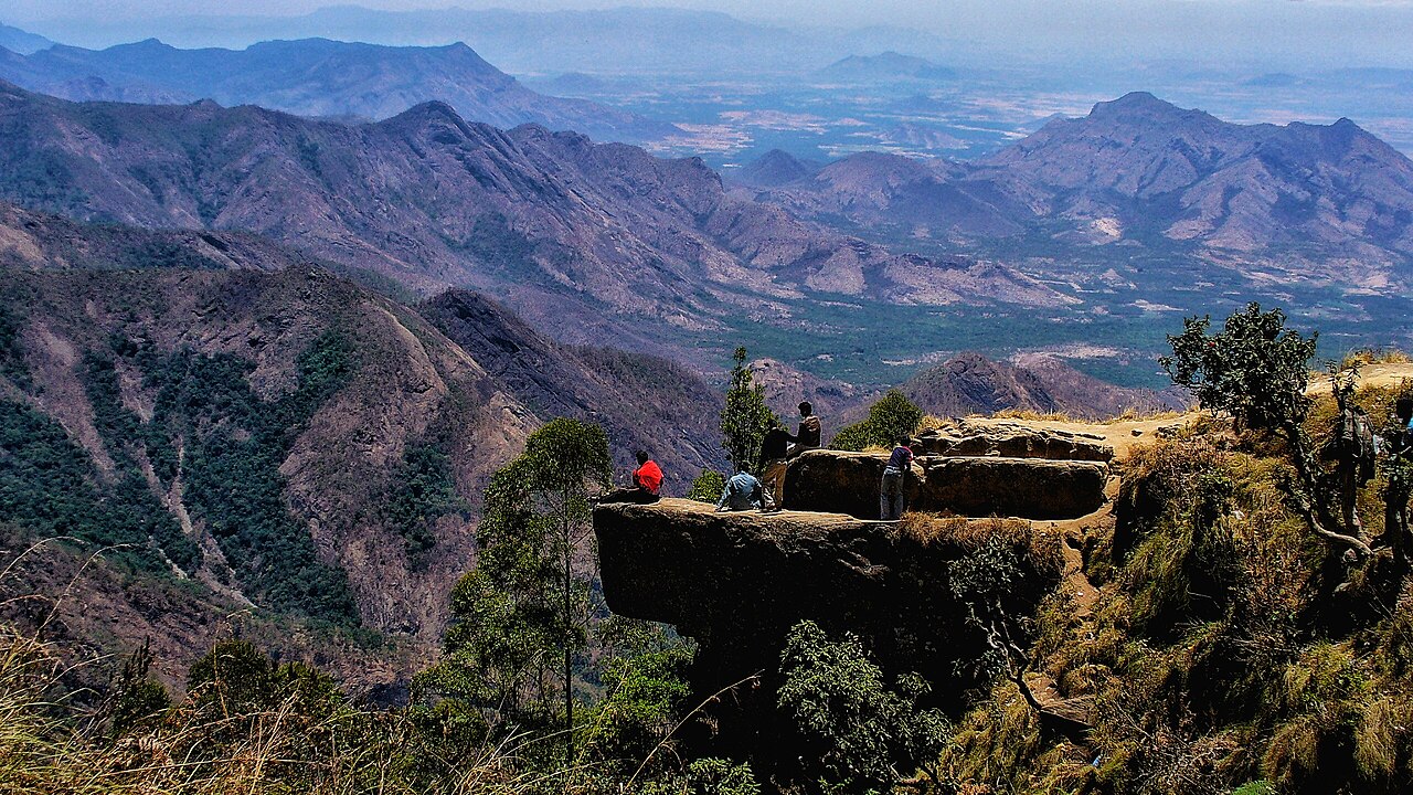
10.1 km · ~17 min by cab
A flat rock projecting over a steep gorge near Vattakanal, reached by a downhill trek, giving sweeping views over the deep valley below Kodaikanal.
7.5 km · ~19 min by auto
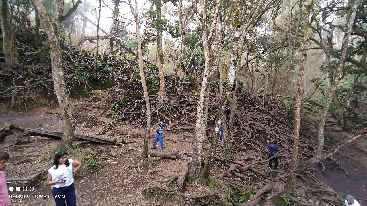
Deep, dangerous rock crevices among the Pillar Rocks, originally known as Devil's Kitchen and renamed after the 1991 Tamil film Guna was shot here.
9.8 km · ~16 min by cab
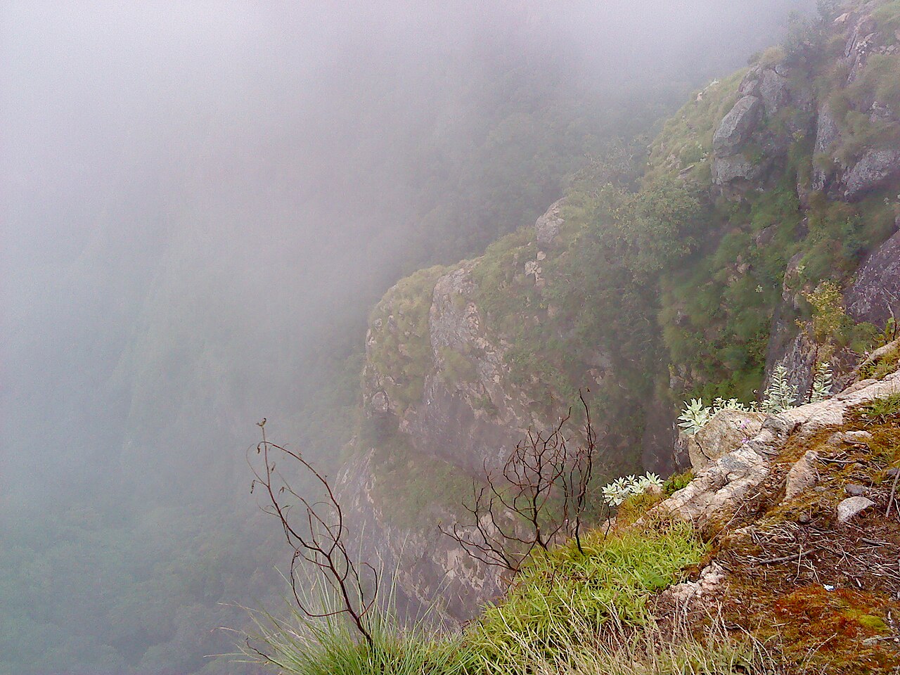
A viewpoint near the golf course overlooking a deep drop into the valley and Vaigai dam plains, formerly called Suicide Point.
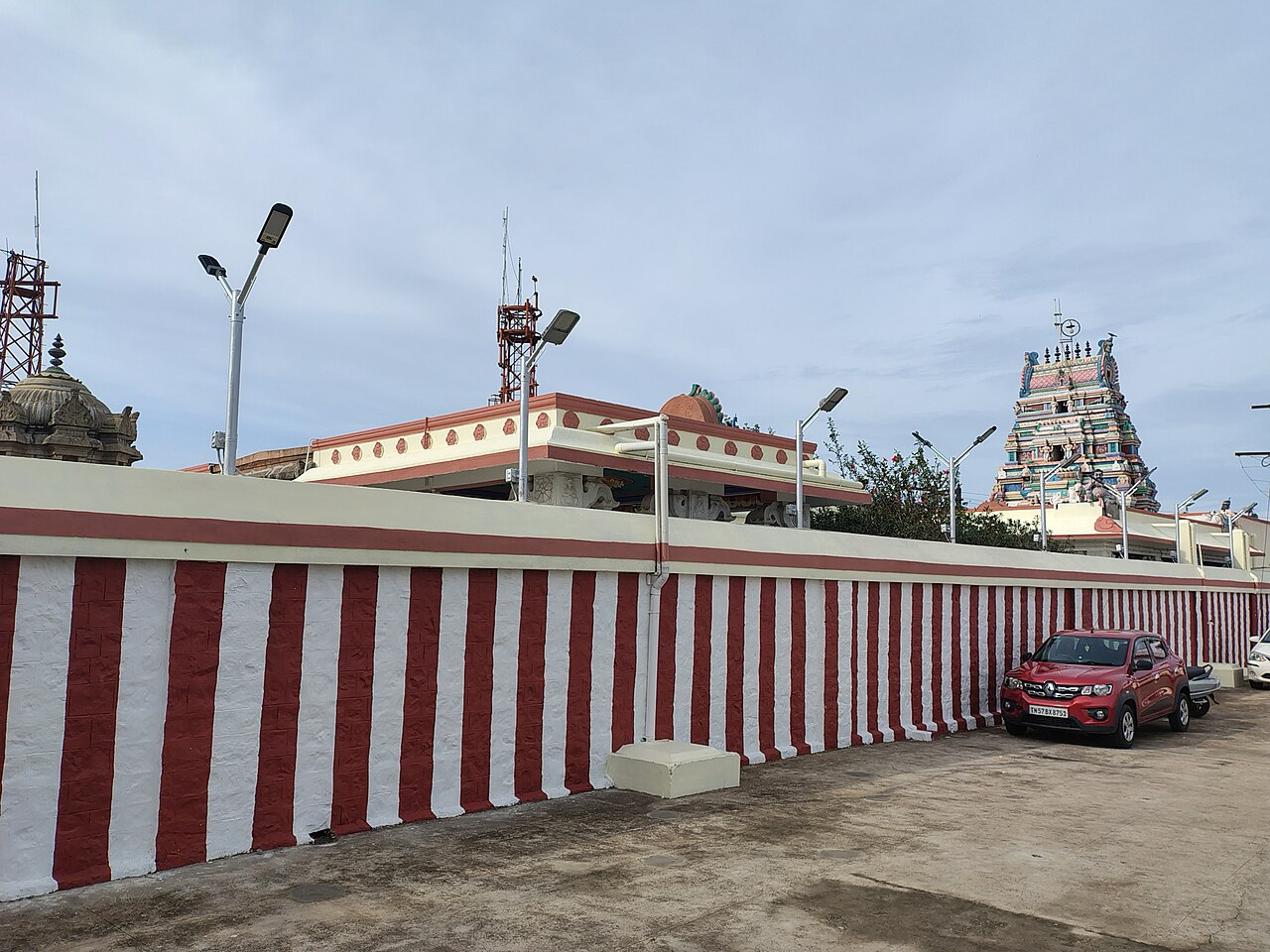
A Murugan temple built in 1936, associated with the Kurinji flower that blooms once every twelve years, offering hill views about 3 km from Kodaikanal Lake.
5.8 km · ~15 min by auto
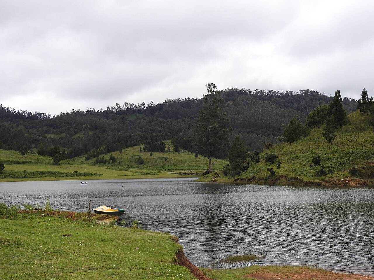
A tranquil high-altitude lake near Mannavanur village about 35 km from Kodaikanal, set amid grassland and a sheep and rabbit farm.
8.9 km · ~15 min by cab
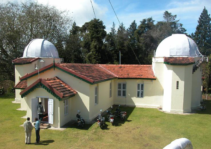
A solar and astronomical observatory established in 1899 by the Indian Institute of Astrophysics, holding one of the world's longest continuous records of solar images.
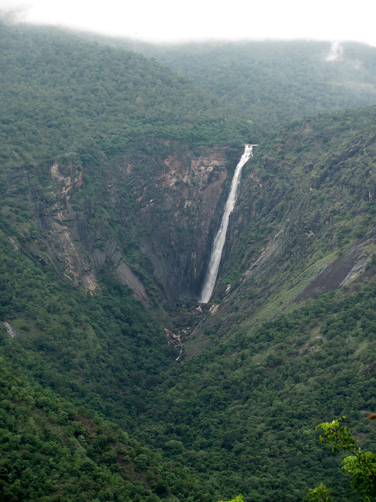
Also called Rat Tail Falls, at about 297 m it is one of the tallest waterfalls in Tamil Nadu, plunging down the Palani hills and visible from the Kodaikanal ghat road.
8.3 km · ~14 min by cab
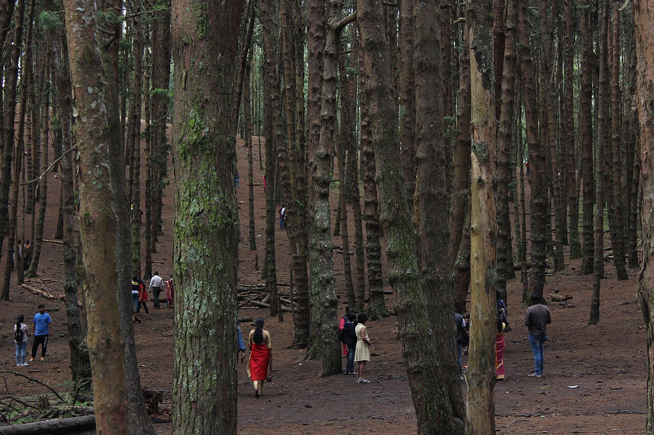
A dense man-made plantation of tall pine trees started in 1906, a popular scenic and photography spot on the way to Pillar Rocks.
6.1 km · ~15 min by auto
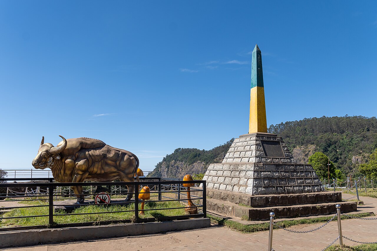
A forest viewpoint on the road to Berijam Lake, named after the engineer who planned the Kodai-Munnar forest road, marking the entry to the reserved forest.
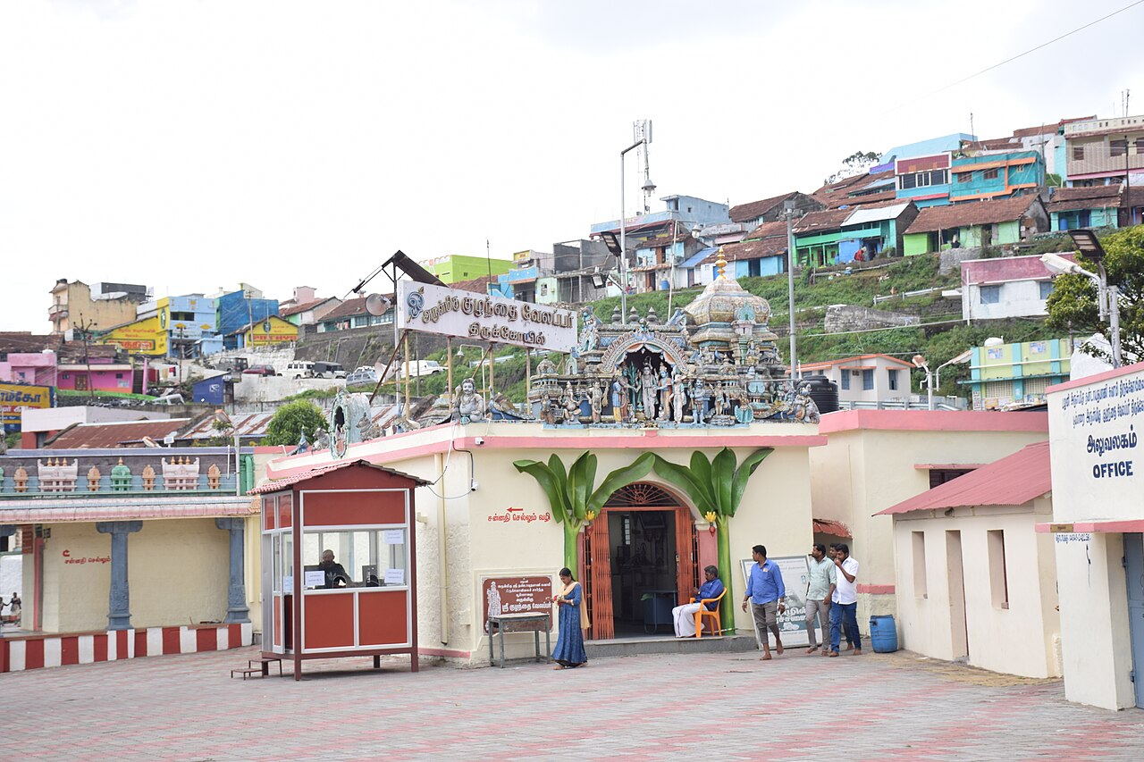
An ancient Murugan temple at Poombarai village near Kodaikanal, believed to predate the Palani temple, set among terraced hill farms.
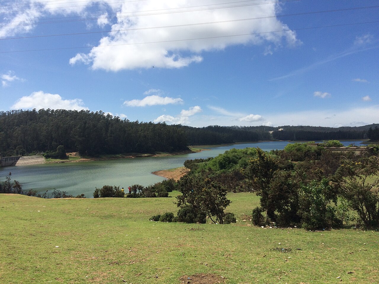
A small dam and reservoir near Kodaikanal, also known as Shola Dam, a quiet picnic and film-shooting spot away from the crowded lake.
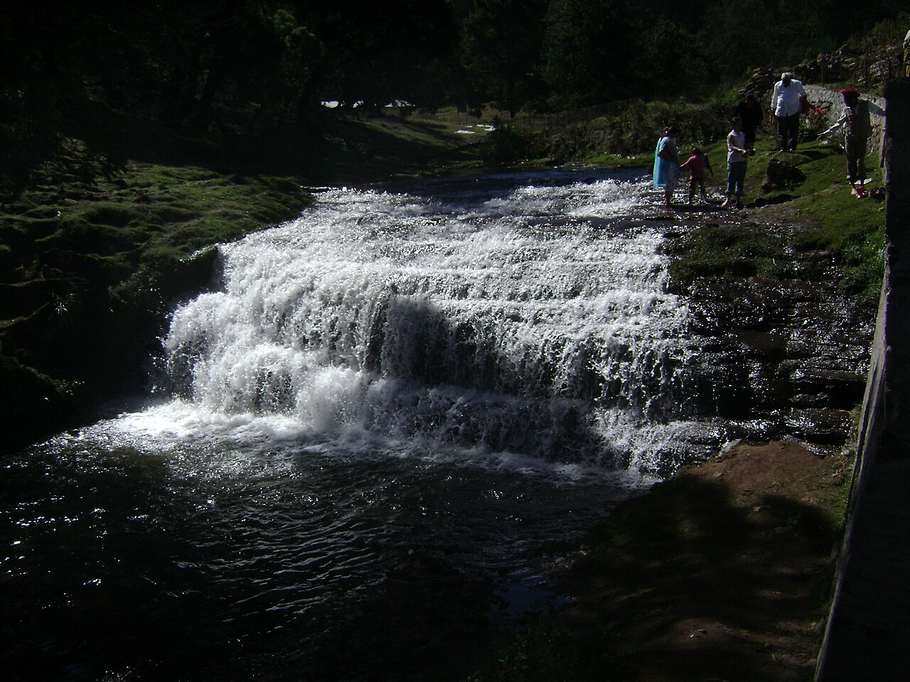
8.6 km · ~14 min by cab
An offbeat waterfall reached by a scenic forest trek from the Vattakanal area of Kodaikanal. The stream cascades over granite through dense woodland, forming small natural pools. It is favoured by trekkers seeking quieter spots away from the main tourist circuit.
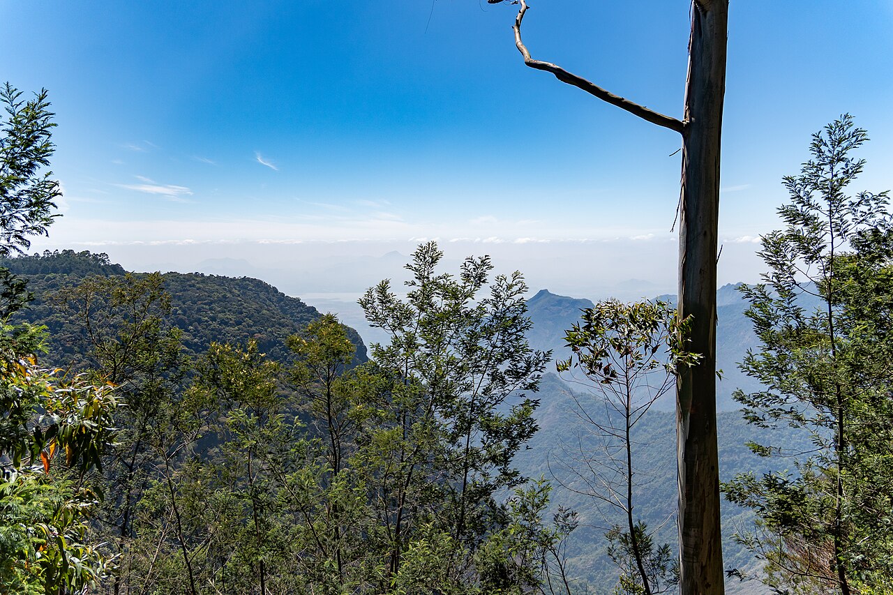
3.0 km · ~8 min by auto
A quiet, often overlooked viewpoint near Kodaikanal that lives up to its name. Early mornings offer views over cloud-filled valleys and dew-covered landscapes of the Palani Hills. It is a peaceful alternative to the busier Coaker's Walk and Green Valley viewpoints.
8.6 km · ~14 min by cab
A historic golf course established in the colonial era on the rolling grasslands of Kodaikanal. Set amid pine and shola forest, it is one of the older hill-station golf clubs in South India. Its scenic fairways are counted among Kodaikanal's notable attractions.
Roampedia is commission-free — own or know a stay, eatery, guide or shop near Berijam Lake? List it and it appears here once verified.
Add a nearby businessIf you need step-free access, contact the site before travelling. Ask about a level entrance, steps along the route, the nearest drop-off point, seating and accessible toilets.
Emergency numbers are verified against official government and state tourism sources. 112 works anywhere in India.
A quiet, often overlooked viewpoint near Kodaikanal that lives up to its name. Early mornings offer views over cloud-filled valleys and dew-covered landscapes of the Palani Hills. It is a peaceful alternative to the busier Coaker's Walk and Green Valley viewpoints.
3.0 km · ~8 min by auto · straight lineA tranquil high-altitude lake near Mannavanur village about 35 km from Kodaikanal, set amid grassland and a sheep and rabbit farm.
5.8 km · ~15 min by auto · straight lineA forest viewpoint on the road to Berijam Lake, named after the engineer who planned the Kodai-Munnar forest road, marking the entry to the reserved forest.
6.1 km · ~15 min by auto · straight lineDeep, dangerous rock crevices among the Pillar Rocks, originally known as Devil's Kitchen and renamed after the 1991 Tamil film Guna was shot here.
7.5 km · ~19 min by auto · straight line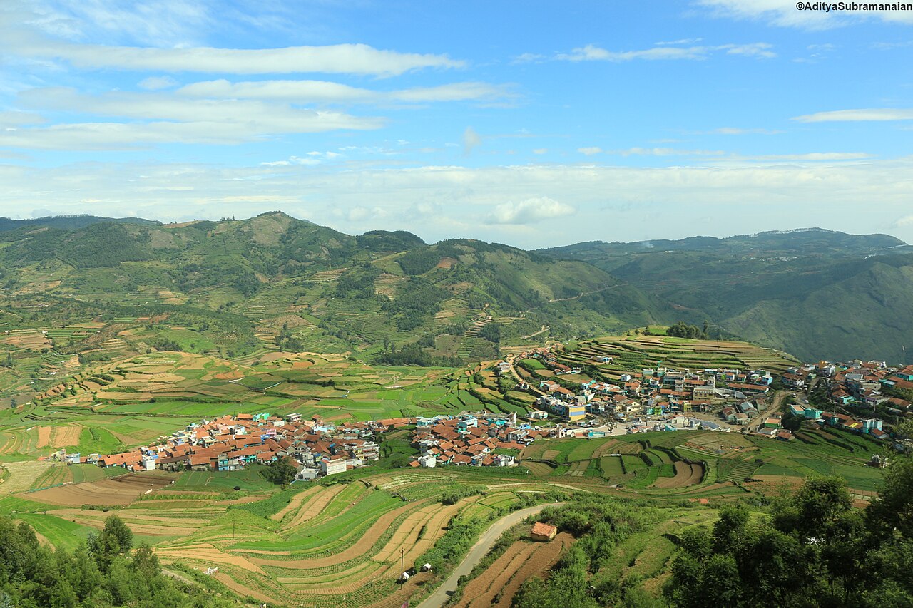
A scenic terraced-farming village about 20 km from Kodaikanal, set at roughly 1,920 metres in the Palani Hills. It is renowned for its layered step-farming fields and for its garlic and vegetable cultivation. The village is home to the ancient Kuzhanthai Velappar temple and offers sweeping valley views.
7.8 km · ~19 min by auto · straight lineThree giant granite boulders rising about 122 m vertically, a landmark viewpoint roughly 7 km from Kodaikanal Lake.
7.9 km · ~20 min by auto · straight lineA dense man-made plantation of tall pine trees started in 1906, a popular scenic and photography spot on the way to Pillar Rocks.
8.3 km · ~14 min by cab · straight lineA historic golf course established in the colonial era on the rolling grasslands of Kodaikanal. Set amid pine and shola forest, it is one of the older hill-station golf clubs in South India. Its scenic fairways are counted among Kodaikanal's notable attractions.
8.6 km · ~14 min by cab · straight lineAn offbeat waterfall reached by a scenic forest trek from the Vattakanal area of Kodaikanal. The stream cascades over granite through dense woodland, forming small natural pools. It is favoured by trekkers seeking quieter spots away from the main tourist circuit.
8.6 km · ~14 min by cab · straight lineA solar and astronomical observatory established in 1899 by the Indian Institute of Astrophysics, holding one of the world's longest continuous records of solar images.
8.9 km · ~15 min by cab · straight lineA viewpoint near the golf course overlooking a deep drop into the valley and Vaigai dam plains, formerly called Suicide Point.
9.8 km · ~16 min by cab · straight lineA flat rock projecting over a steep gorge near Vattakanal, reached by a downhill trek, giving sweeping views over the deep valley below Kodaikanal.
10.1 km · ~17 min by cab · straight lineNo. Forest access permission and the current visitor transport arrangement are separate from hiring a taxi.
No. Berijam is a separate reservoir excursion in the forest.
On a confirmed access day with suitable weather, following the forest service’s schedule.
Confirm forest access and transport arrangements first. Follow the assigned route and return instructions.
Reserve a half-day planning block, subject to the offered route and departure arrangement.
Nearby you can pair Silent Valley View, Kodaikanal (3.0 km), Mannavanur Lake (5.8 km), Moir Point (6.1 km), Guna Caves (7.5 km).
Do not enter closed forest roads or approach wildlife.
We have not published a story about Berijam Lake itself yet. These cover Kodaikanal and the wider district, with separate journeys between stops.
These guides explore Kodaikanal and the surrounding area. Choose a visit that fits your interests, allowing separately for travel between stops.

Route-level itineraries and practical guides for the rest of Tamil Nadu.
Photographs: Lokesh Ramachandra (CC BY-SA 4.0), Rainer Halama (CC BY-SA 4.0). Wikimedia Commons.