What to expect
Naduvattam
The village 15.9 km up the Ooty road from Gudalur where quinine came from. On 30 August 1862 the Governor of Madras, Sir William Denison, planted out the first cinchona permanently established in the Nilgiris here, and the government factory that grew up around it was run by W. G. McIvor, the gardener who had brought the seedlings on. The plantations were worked by convicts, and at McIvor's own request five hundred Chinese prisoners were sent up to Naduvattam to do it — a piece of the hills' history that gets far less telling than the tea does. The cinchona estates are still there on the slopes above the highway, and the first hairpin below the village is the Frog Hill lay-by.
N
Naduvattam
Place
Practical guide
Plan Naduvattam
Who's going?Tailor Naduvattam to your trip
Typeheritage
Nearest baseGudalur
DistrictThe Nilgiris
Best timeOctober to March is the cooler, drier…
Time neededAbout an hour
Places to visit5→Listed businesses2→Naduvattam is planned from Gudalur, one of the travel bases in The Nilgiris district. Use Gudalur for stays, food and local transport, then plan this place as a focused stop.
Getting there
How to visit
- Base yourself in Gudalur or nearby in The Nilgiris, then confirm the last-mile route locally before travel.
- If access depends on temple, museum or seasonal rules, check on the day before you go.
Timing
Best time
October to March is the cooler, drier season in the Cauvery delta.
Weather in NaduvattamSeasonal guide
Live forecast loads in your browser.
Today at Naduvattam
Sunrise6:13 am
Sunset6:06 pm
Golden hour best light5:06 pm–6:06 pm
Blue hour after sunset6:06 pm–6:31 pm
Sun sets toward compass bearingW · 261°
Moon tonight🌒 Waxing crescent · 25%
Sun and moon are calculated for this location and shown in IST. Photography windows are the hour around sunrise and sunset; the sunset bearing is degrees clockwise from true north. Moon phase is accurate to about half a day.
Stay · eat · do · rent · see · shop
Stays, food & things to do near Naduvattam
Verified hotels, homestays, restaurants, experiences, sights, shops and rentals around Naduvattam — commission-free, with direct contact. Filter by what you need.
2 places to stay near Naduvattam
Top pick
Tea-estate guest cottage
Velu's Resort, Upper GudalurA four-bedroom cottage at Upper Gudalur that the owners let by the room or whole, in the foothills of the Kokkal range with its own tea and coffee gardens. Guests get the kitchen, and a cook comes in on request rather than there being a restaurant.
Commission-freeView details
Top pick
Whole-house tea estate retreat
Hushstay x PLENTI House, GudalurA four-bedroom house sleeping up to twelve, taken whole, standing on a sloping tea estate outside Gudalur with forest and flowering trees around it. Meals are home-cooked South Indian at fixed sittings rather than ordered from a menu.
Commission-freeView details
Book with the place itself. India’s cyber-crime coordination centre warned in April 2025 that convincing copies of hotel and pilgrimage booking sites are being pushed through sponsored search and social ads, taking payment for rooms the property never hears about. Every listing here links to the business’s own contact details and its own Google or Bing profile — we take no commission and sit in nobody’s payment path. If a booking page reached you through an ad, check the address bar against the property’s own site before you pay. Fraud can be reported on cybercrime.gov.in or on 1930.
Ranked guides
Top experiences around Gudalur
4 more places around Gudalur. Open a guide to plan the visit and onward journey.

viewpointNeedle Rock View Point
3.3 km · ~8 min by auto
Oosi Malai — needle mountain — the conical rock 9.1 km east of Gudalur by routed road, on NH-181 towards Ooty; Wikipedia and Tamil Nadu Tourism both publish it as about 8 km. A walk of roughly a kilometre from the road brings you out on a near 360-degree panorama that takes in Wilson pine plantations, Frog Hill, Kokkal Hill, the Rockwood hills, the Silver Cloud tea estates, Gudalur town below and the Mudumalai forest running north; the official description adds Bandipur on a clear day, and names sunrise and sunset as the hours to be there. No entry charge or opening time is published by the Forest Department, whose Nilgiris ecotourism list does not include this viewpoint at all, so ask at the gate rather than trusting a figure off a booking site.
F
Frog Hill View Point
Place
viewpointFrog Hill View Point
2.2 km · 27 min walk
A lay-by on NH-181 at the first hairpin bend below Naduvattam, 12.2 km from Gudalur by routed road, looking across at the ridge that gives the place its name: seen from here the hills fold into the shape of a crouching frog. It is also signed as Valley View Point, and it is the spot to stand in if you want to see Needle Rock itself — the actual 1,440-metre rock, as opposed to the viewpoint named after it, rises about ten kilometres west across the valley alongside Morapu Malai. Tea estates, forested slopes and scattered hamlets fill the ground in between.
N
Nadugani Ghat
Place
heritageNadugani Ghat
14.5 km · ~24 min by cab
The pass that carries NH-181 off the Nilgiris and down into Kerala, 12.1 km south-west of Gudalur — the road to Nilambur, 49.5 km on, and to Kozhikode at 109.5 km. It is the western door of the district, and the reason a Tamil Nadu town at the top of it does most of its trade in Malayalam. The descent runs through the reserved forest of the Nilambur slope, elephants cross it, and the two routing engines we check agree on its length to within 200 metres, which is not true of any road out of here heading north. The marker sits on Nadugani village itself, on the map as node/402240869; the ghat is the road below it, not a point.
D
Devala
Place
heritageDevala
A village 16.6 km west of Gudalur that was, for about a decade, the centre of a gold rush. Mining in this country is documented from the 1830s, but it was an Australian named Withers who founded the Alfa Gold Mine in 1874 — the first company to mine gold in the Wynaad — and bought close to a thousand acres near Devala. When an Australian expert's report was published in 1879 at least fifty British and Indian companies poured into the Pandalur–Devala hills, and the rush that followed ruined the district's coffee industry without ever paying for itself. What is left is tunnelling: adits through these hills run anywhere from 500 to 3,000 metres. They are unlit, unmaintained and on private estate land, so this is a place to read about on the way through rather than to go looking for a way into.
Roampedia is commission-free — own or know a stay, eatery, guide or shop near Naduvattam? List it and it appears here once verified.
Add a nearby businessNearby
What’s near Naduvattam
F
Frog Hill View Point
Place
viewpointFrog Hill View Point
A lay-by on NH-181 at the first hairpin bend below Naduvattam, 12.2 km from Gudalur by routed road, looking across at the ridge that gives the place its name: seen from here the hills fold into the shape of a crouching frog. It is also signed as Valley View Point, and it is the spot to stand in if you want to see Needle Rock itself — the actual 1,440-metre rock, as opposed to the viewpoint named after it, rises about ten kilometres west across the valley alongside Morapu Malai. Tea estates, forested slopes and scattered hamlets fill the ground in between.
2.2 km · 27 min walk · straight lineviewpointNeedle Rock View Point
Oosi Malai — needle mountain — the conical rock 9.1 km east of Gudalur by routed road, on NH-181 towards Ooty; Wikipedia and Tamil Nadu Tourism both publish it as about 8 km. A walk of roughly a kilometre from the road brings you out on a near 360-degree panorama that takes in Wilson pine plantations, Frog Hill, Kokkal Hill, the Rockwood hills, the Silver Cloud tea estates, Gudalur town below and the Mudumalai forest running north; the official description adds Bandipur on a clear day, and names sunrise and sunset as the hours to be there. No entry charge or opening time is published by the Forest Department, whose Nilgiris ecotourism list does not include this viewpoint at all, so ask at the gate rather than trusting a figure off a booking site.
3.3 km · ~8 min by auto · straight line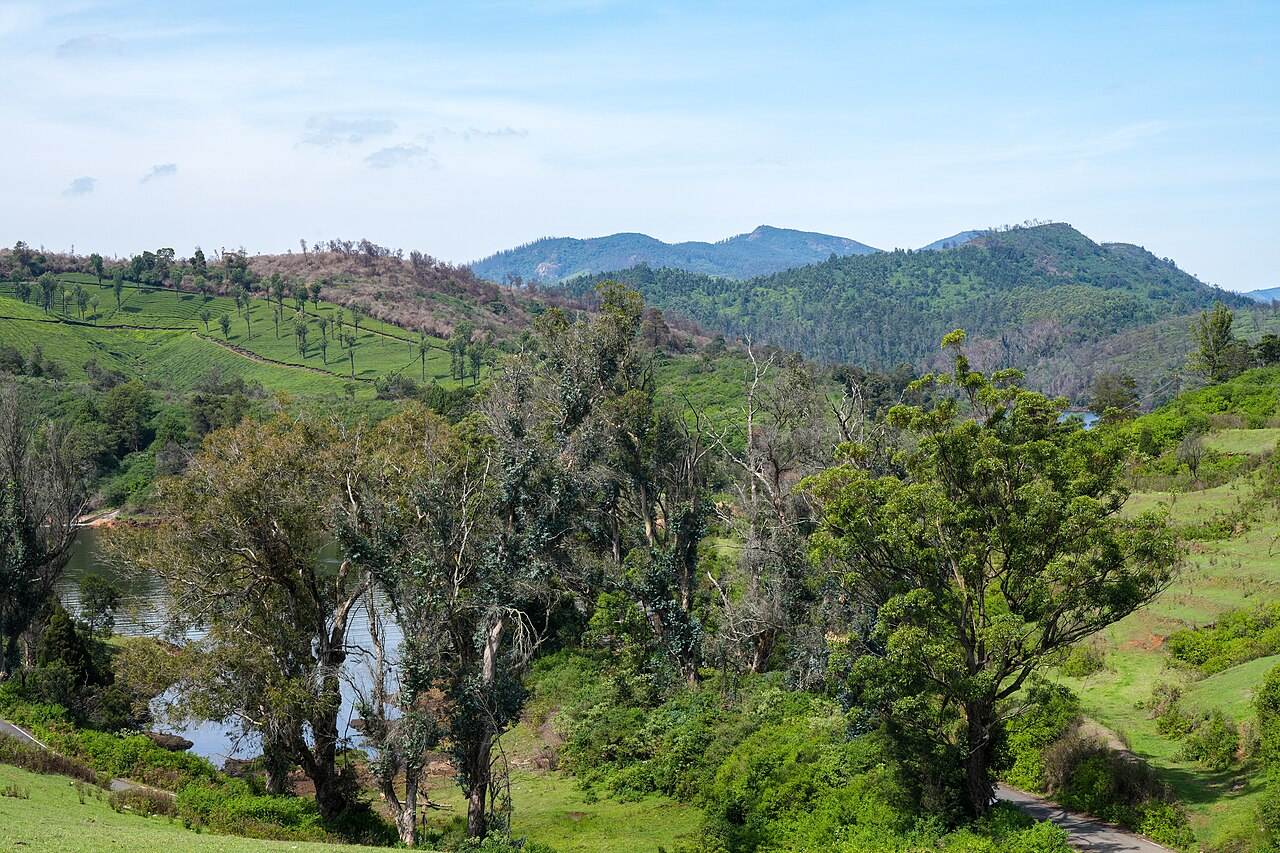
viewpointGlenmorgan
A tea-estate area west of Ooty toward Gudalur, known for scenic valley views, a reservoir, and rolling tea gardens.
6.0 km · ~15 min by auto · straight line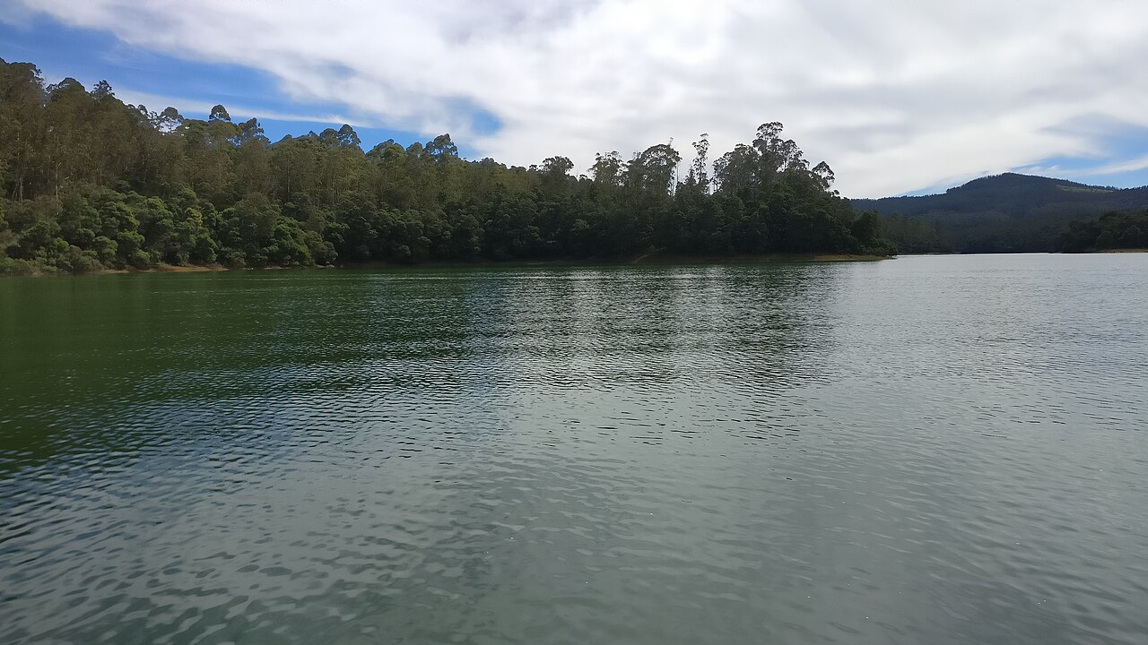
damPykara Lake
The reservoir on the Pykara river 22.2 km from the Ooty bus stand by routed road, with a boathouse running motorboat trips over water ringed by pine, shola and grassland; gaur graze the banks. The river above it is held sacred by the Toda, and the falls two kilometres downstream are part of the same site.
6.4 km · ~16 min by auto · straight line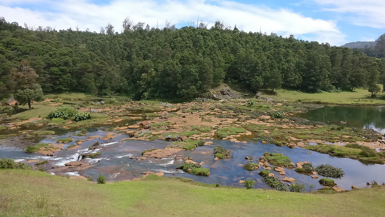
waterfallPykara Falls
The Pykara river drops here in two stages of 55 and 61 metres, on the Mysuru road 22.5 km from the Ooty bus stand by routed road — the municipality publishes it as about 20 km. The river above the falls is held sacred by the Toda.
6.6 km · ~17 min by auto · straight line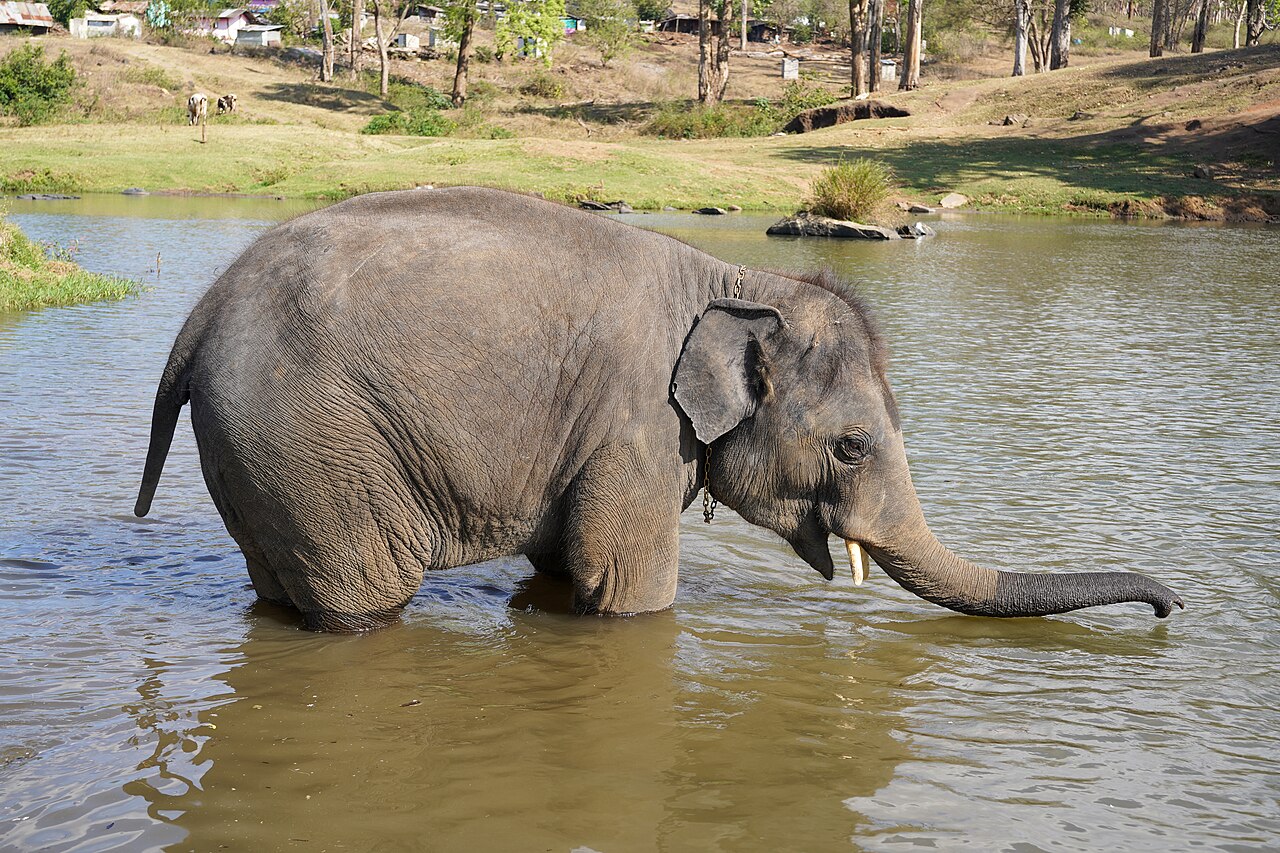
heritageTheppakadu Elephant Camp
The elephant camp on the bank of the Moyar inside Mudumalai, 6.7 km from the Masinagudi bus stand, which the Forest Department calls the oldest elephant camp in Asia. It keeps 28 elephants including two calves, and they are working animals rather than an exhibit: they are the kumkis the department sends to drive wild elephants away from villages and to help in captures. Visitors may watch the feeding at 8.30 to 9.00 in the morning and 5.30 to 6.00 in the evening. It became famous far beyond the Nilgiris when The Elephant Whisperers, filmed here with the mahout couple Bomman and Bellie and the orphaned calves Raghu and Ammu, won the Academy Award for best documentary short in March 2023.
11.8 km · ~20 min by cab · straight line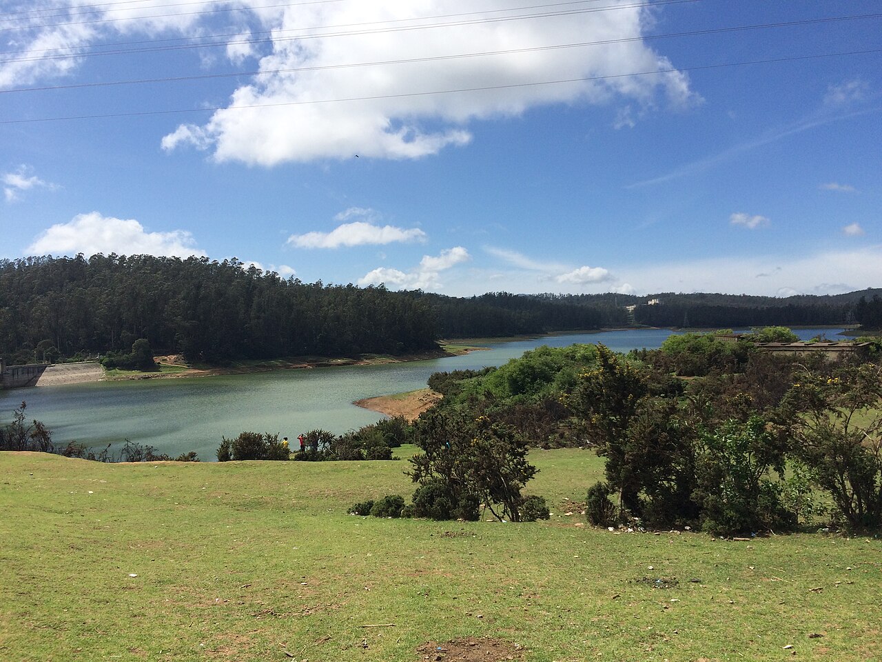
damKamaraj Sagar Dam
A small reservoir and dam near Ooty on the outskirts of town, popular as a quiet picnic and photography spot away from the crowds.
12.4 km · ~21 min by cab · straight line
waterfallMoyar Falls
Moyar Falls is a remote cascade on the Moyar River within the protected Mudumalai landscape, where access is governed by forest and wildlife rules. It lies below Theppakadu, about 5 km from Masinagudi as the crow flies. Visitors should not attempt to find an independent route through the reserve; ask authorised safari or Forest Department staff which public views are available on the day.
13.0 km · ~22 min by cab · straight line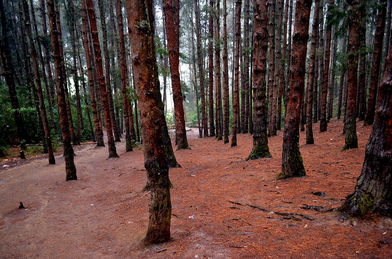
heritagePine Forest, Ooty
A dense stand of tall, closely planted pines on the slope below the Shooting Point area on the Ooty-Gudalur road. Its symmetrical rows of trees and filtered light have made it a favourite spot for photography and countless Tamil film songs. It is usually visited together with the adjoining 9th Mile Shooting Point.
13.4 km · ~22 min by cab · straight line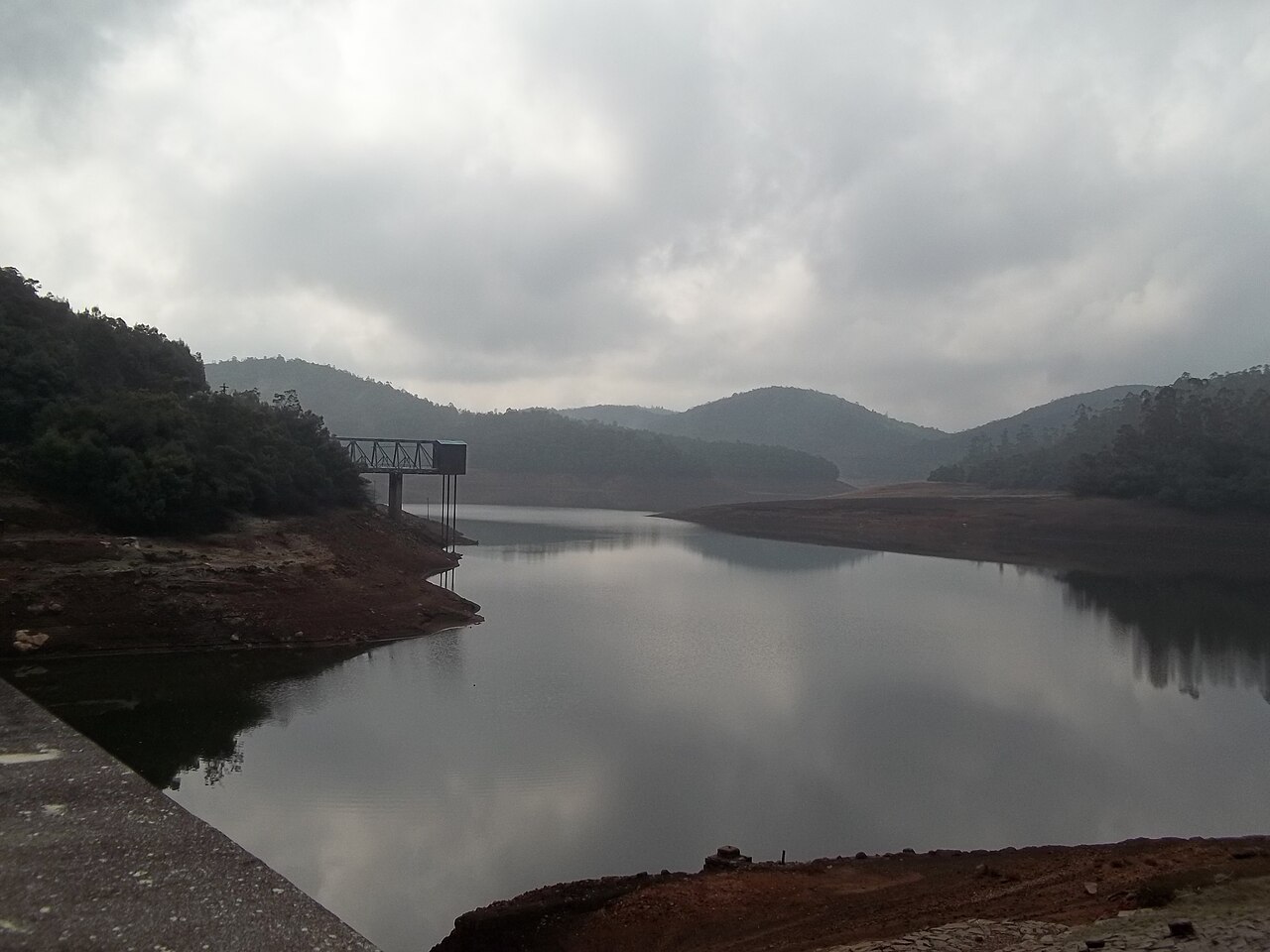
heritageParsons Valley Reservoir
A protected drinking-water catchment in dense shola west of Ooty. There are no ordinary visitor hours or shore facilities, and a route drawn over a water-board or forest road is not permission to follow it.
14.2 km · ~24 min by cab · straight lineN
Nadugani Ghat
Place
heritageNadugani Ghat
The pass that carries NH-181 off the Nilgiris and down into Kerala, 12.1 km south-west of Gudalur — the road to Nilambur, 49.5 km on, and to Kozhikode at 109.5 km. It is the western door of the district, and the reason a Tamil Nadu town at the top of it does most of its trade in Malayalam. The descent runs through the reserved forest of the Nilambur slope, elephants cross it, and the two routing engines we check agree on its length to within 200 metres, which is not true of any road out of here heading north. The marker sits on Nadugani village itself, on the map as node/402240869; the ghat is the road below it, not a point.
14.5 km · ~24 min by cab · straight line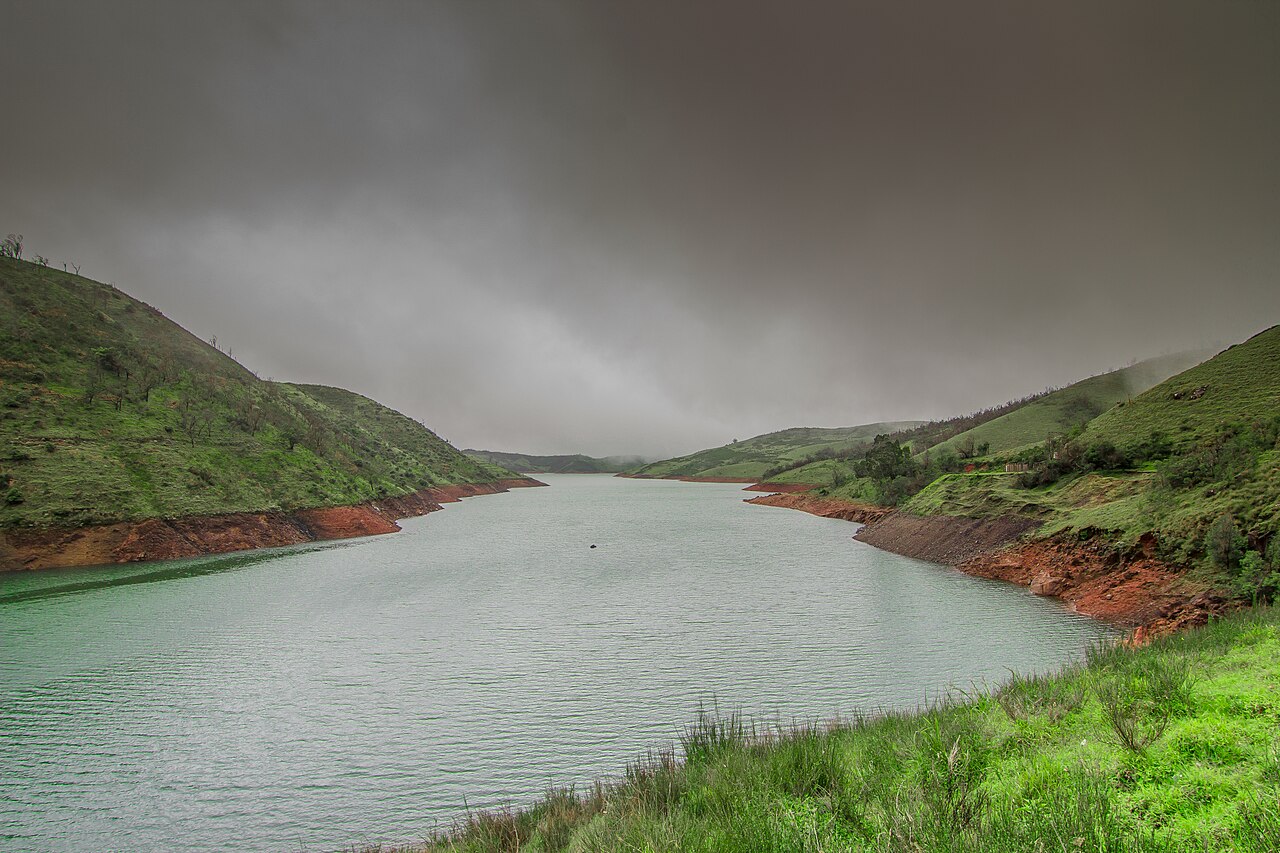
heritageUpper Bhavani Reservoir
A high working reservoir in protected shola-grassland at the headwaters of the Bhavani. The approach crosses controlled forest and inspection roads; confirm permission before leaving, stop at every barrier, and do not treat the shore as a picnic or boating area.
14.7 km · ~24 min by cab · straight lineOn the map
Where Naduvattam is
Good to know
Naduvattam — frequently asked
When is the best time to visit Naduvattam?
October to March is the cooler, drier season in the Cauvery delta.
How do I reach Naduvattam?
Base yourself in Gudalur or nearby in The Nilgiris, then confirm the last-mile route locally before travel. If access depends on temple, museum or seasonal rules, check on the day before you go.
How much time do I need for Naduvattam?
About an hour.
What else is near Naduvattam?
Nearby you can pair Frog Hill View Point (2.2 km), Needle Rock View Point (3.3 km), Glenmorgan (6.0 km), Pykara Lake (6.4 km).
Read before you go
Naduvattam guides, stories & itineraries
We have not published a story about Naduvattam itself yet. These cover Gudalur and the wider district, with separate journeys between stops.
Tamil Nadu-wide guides & itineraries
Route-level itineraries and practical guides for the rest of Tamil Nadu.
The story of St. Michael's Church, Shanthoor
Place story
The story of St. Michael's Church, Shanthoor
4 min read · Read →
The story of Hethai Amman Shrine, Ketti
Place story
The story of Hethai Amman Shrine, Ketti
4 min read · Read →
The story of All Saints Church, Coonoor
Place story
The story of All Saints Church, Coonoor
4 min read · Read →
The story of Elk Falls, Kotagiri
Place story
The story of Elk Falls, Kotagiri
4 min read · Read →
The story of John Sullivan Memorial (Kannerimukku Bungalow), Kotagiri
Place story
The story of John Sullivan Memorial (Kannerimukku Bungalow), Kotagiri
4 min read · Read →
The story of Wax World Museum, Ooty
Place story
The story of Wax World Museum, Ooty
4 min read · Read →