What to expect
Maravakandy Dam
The small dam and reservoir on the Maravakandy stream 2.2 km east of the Masinagudi bus stand, and the one place here you can reach on foot from the village in under half an hour. It is a working irrigation and power dam rather than a landscaped one, and the reason to walk out is what comes to drink: the reservoir sits in open scrub on the elephant plateau and is a reliable evening watering point for elephant, gaur and spotted deer. Because the water is the draw, the same rules apply as anywhere in this country — stay in or beside the vehicle, keep your distance, and be off the road before dark.

Practical guide
Plan Maravakandy Dam
Who's going?Tailor Maravakandy Dam to your trip
Typedam
Nearest baseMasinagudi
DistrictThe Nilgiris
Best timeOctober to March is the cooler, drier…
Time neededAbout an hour
Places to visit6→Listed businesses5→Maravakandy Dam is planned from Masinagudi, one of the travel bases in The Nilgiris district. Use Masinagudi for stays, food and local transport, then plan this place as a focused stop.
Getting there
How to visit
- Base yourself in Masinagudi or nearby in The Nilgiris, then confirm the last-mile route locally before travel.
- If access depends on temple, museum or seasonal rules, check on the day before you go.
Timing
Best time
October to March is the cooler, drier season in the Cauvery delta.
Weather in Maravakandy DamSeasonal guide
Live forecast loads in your browser.
Today at Maravakandy Dam
Sunrise6:13 am
Sunset6:06 pm
Golden hour best light5:06 pm–6:06 pm
Blue hour after sunset6:06 pm–6:31 pm
Sun sets toward compass bearingW · 262°
Moon tonight🌒 Waxing crescent · 22%
Retreating monsoon. October and November still see spells of rain from the retreating monsoon, though it is usually lighter than mid-year. Conditions are generally good but worth checking.
Sun and moon are calculated for this location and shown in IST. Photography windows are the hour around sunrise and sunset; the sunset bearing is degrees clockwise from true north. Moon phase is accurate to about half a day.
Stay · eat · do · rent · see · shop
Stays, food & things to do near Maravakandy Dam
Verified hotels, homestays, restaurants, experiences, sights, shops and rentals around Maravakandy Dam — commission-free, with direct contact. Filter by what you need.
3 places to stay near Maravakandy Dam
2 things to do near Maravakandy Dam
Top pick
Government accommodation
Forest Department Rest Houses, MasinagudiThe Tamil Nadu Forest Department's own rooms inside Masinagudi, five log houses and three rest houses booked through the tiger reserve's website. They are the least-known beds in the village and the only ones whose legal position is beyond question.
Top pick
Wildlife safari
Mudumalai Jungle Safari, TheppakaduThe Forest Department's own safari into the tourism zone of the tiger reserve, from the reception centre at Theppakadu. It costs a flat 4,200 rupees for a vehicle and runs six times a day.
Top pick
Elephant camp
Theppakadu Elephant Camp visitThe Forest Department's elephant camp on the bank of the Moyar, open to visitors for half an hour twice a day at feeding time. Twenty-eight elephants live here, including the two calves from The Elephant Whisperers.
Top pick
Farm guest house
Bamboo Banks Farm & Guest HouseA family-run farm guest house on Achakarai Road, one of the older places to stay in the village rather than out in the corridor country. The family takes bookings direct by telephone between nine in the morning and nine at night.
Top pick
Resort
The Tiger Paw ResortA fourteen-room resort at Achakarai on the edge of the village, about a kilometre from the bus stand. Rooms have balconies looking at the wall of the Nilgiris, and the property publishes its own reservation number and address.
Book with the place itself. India’s cyber-crime coordination centre warned in April 2025 that convincing copies of hotel and pilgrimage booking sites are being pushed through sponsored search and social ads, taking payment for rooms the property never hears about. Every listing here links to the business’s own contact details and its own Google or Bing profile — we take no commission and sit in nobody’s payment path. If a booking page reached you through an ad, check the address bar against the property’s own site before you pay. Fraud can be reported on cybercrime.gov.in or on 1930.
Ranked
More ways to explore Masinagudi
Find food, accommodation and activities across Masinagudi. Browse the guides for places to eat, stay and explore along your route.
Across the whole of Masinagudi
Ranked guides
Top experiences around Masinagudi
5 more places around Masinagudi. Open a guide to plan the visit and onward journey.
wildlifeMudumalai National Park
13.9 km · 166 min walk
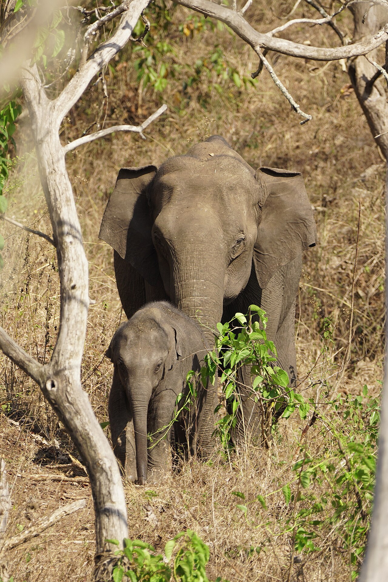
The national park and tiger reserve that Masinagudi sits at the edge of, running along the northern slopes of the Nilgiris where they fall away to the Mysore plateau, at the meeting point of Tamil Nadu, Kerala and Karnataka. The National Tiger Conservation Authority gives it a core or critical tiger habitat of 321.00 sq km and a buffer of 367.59 sq km, 688.59 sq km in all, and it joins Bandipur in Karnataka and Wayanad in Kerala to make one of the largest stretches of protected elephant country in Asia. It was made a sanctuary in 1940, a national park in 1990 and a tiger reserve in April 2007.
heritageTheppakadu Elephant Camp
8.9 km · 10 min drive
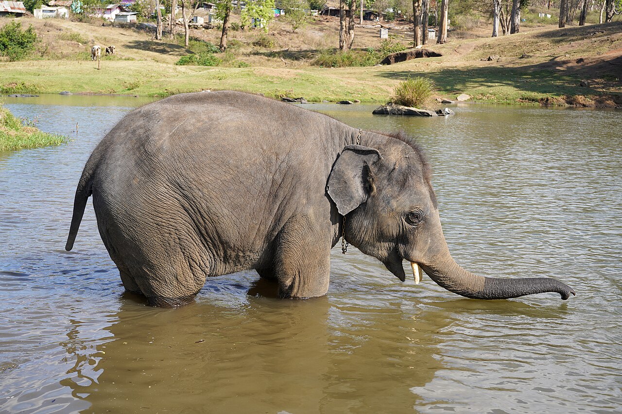
The elephant camp on the bank of the Moyar inside Mudumalai, 6.7 km from the Masinagudi bus stand, which the Forest Department calls the oldest elephant camp in Asia. It keeps 28 elephants including two calves, and they are working animals rather than an exhibit: they are the kumkis the department sends to drive wild elephants away from villages and to help in captures. Visitors may watch the feeding at 8.30 to 9.00 in the morning and 5.30 to 6.00 in the evening. It became famous far beyond the Nilgiris when The Elephant Whisperers, filmed here with the mahout couple Bomman and Bellie and the orphaned calves Raghu and Ammu, won the Academy Award for best documentary short in March 2023.

waterfallMoyar Falls
7.7 km · 8 min drive
Moyar Falls is a remote cascade on the Moyar River within the protected Mudumalai landscape, where access is governed by forest and wildlife rules. It lies below Theppakadu, about 5 km from Masinagudi as the crow flies. Visitors should not attempt to find an independent route through the reserve; ask authorised safari or Forest Department staff which public views are available on the day.

viewpointMoyar Gorge
253.8 km · 260 min drive
The gorge the Moyar has cut along the northern edge of the plateau, running roughly 85 km east from the reserve towards Sathyamangalam and forming the corridor elephants use between the Western and Eastern Ghats. It matters for something most visitors never hear about: the cliffs and the riverside Terminalia arjuna trees hold the largest nesting colony of Gyps vultures left in peninsular India, and the Forest Department is building its first Vulture Safe Zone around this valley. There is a viewpoint marked on the map north of Masinagudi, but it is inside the reserve and there is no public way to it: one routing engine refuses it outright and the other only reaches it by forest track. In practice you see the gorge from the safari or from the rim on the Sigur side.

heritageKalhatti Ghat Road
76.4 km · 62 min drive
The steep mountain road between the Masinagudi side and the Ooty plateau is subject to an official vehicle restriction. A Nilgiris district notice dated 29 April 2026 says tourist vehicles are not permitted; only TN-43 and local vehicles may use it, while eligible local residents with other registrations require a police entry pass. Visitors travelling between Masinagudi and Ooty should use the Gudalur route rather than following a shorter navigation suggestion onto Kalhatti Road.
Roampedia is commission-free — own or know a stay, eatery, guide or shop near Maravakandy Dam? List it and it appears here once verified.
Add a nearby businessBefore you go
Maravakandy Dam — at a glance
TimingsDaylight only. Do not be out here at dusk or after dark.
Entry: No gate and no ticket — it is a working dam on the edge of the reserve buffer, not a park.
Getting here
How to reach Maravakandy Dam
2.2 km and about four minutes from the Masinagudi bus stand by road, or roughly two kilometres and twenty-five minutes on foot — the only walk from the village on this page.
Getting around Maravakandy Dam
If you need step-free access, contact the site before travelling. Ask about a level entrance, steps along the route, the nearest drop-off point, seating and accessible toilets.
If you need help at Maravakandy Dam
112All emergencies (police · fire · medical)The single number to call in any emergency (ERSS).100Police101Fire108Ambulance (emergency / EMS)1091Women’s helpline (distress)1098Child helpline1363Tourist helpline (India, 24×7, multilingual)
Emergency numbers are verified against official government and state tourism sources. 112 works anywhere in India.
Nearby
What’s near Maravakandy Dam
waterfallMoyar Falls
Moyar Falls is a remote cascade on the Moyar River within the protected Mudumalai landscape, where access is governed by forest and wildlife rules. It lies below Theppakadu, about 5 km from Masinagudi as the crow flies. Visitors should not attempt to find an independent route through the reserve; ask authorised safari or Forest Department staff which public views are available on the day.
7.7 km · 8 min driveheritageTheppakadu Elephant Camp
The elephant camp on the bank of the Moyar inside Mudumalai, 6.7 km from the Masinagudi bus stand, which the Forest Department calls the oldest elephant camp in Asia. It keeps 28 elephants including two calves, and they are working animals rather than an exhibit: they are the kumkis the department sends to drive wild elephants away from villages and to help in captures. Visitors may watch the feeding at 8.30 to 9.00 in the morning and 5.30 to 6.00 in the evening. It became famous far beyond the Nilgiris when The Elephant Whisperers, filmed here with the mahout couple Bomman and Bellie and the orphaned calves Raghu and Ammu, won the Academy Award for best documentary short in March 2023.
8.9 km · 10 min drive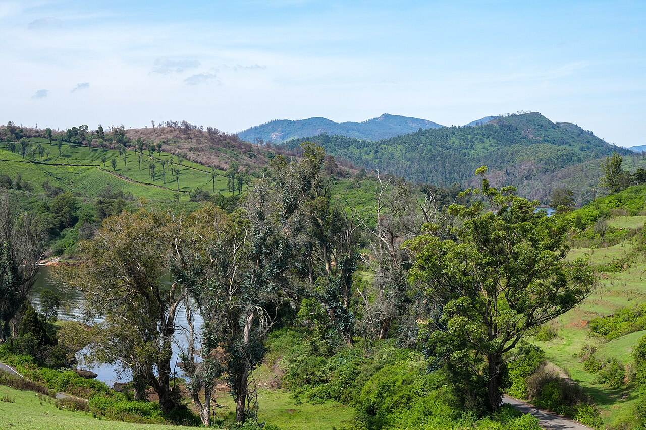
viewpointGlenmorgan
A tea-estate area west of Ooty toward Gudalur, known for scenic valley views, a reservoir, and rolling tea gardens.
10.5 km · ~17 min by cab · straight line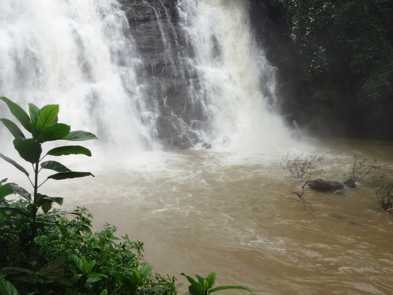
waterfallKalhatti Falls
A waterfall on the Ooty-Gudalur road near Kalhatti village, plunging beside an old Shiva shrine set into the rock.
10.9 km · ~18 min by cab · straight line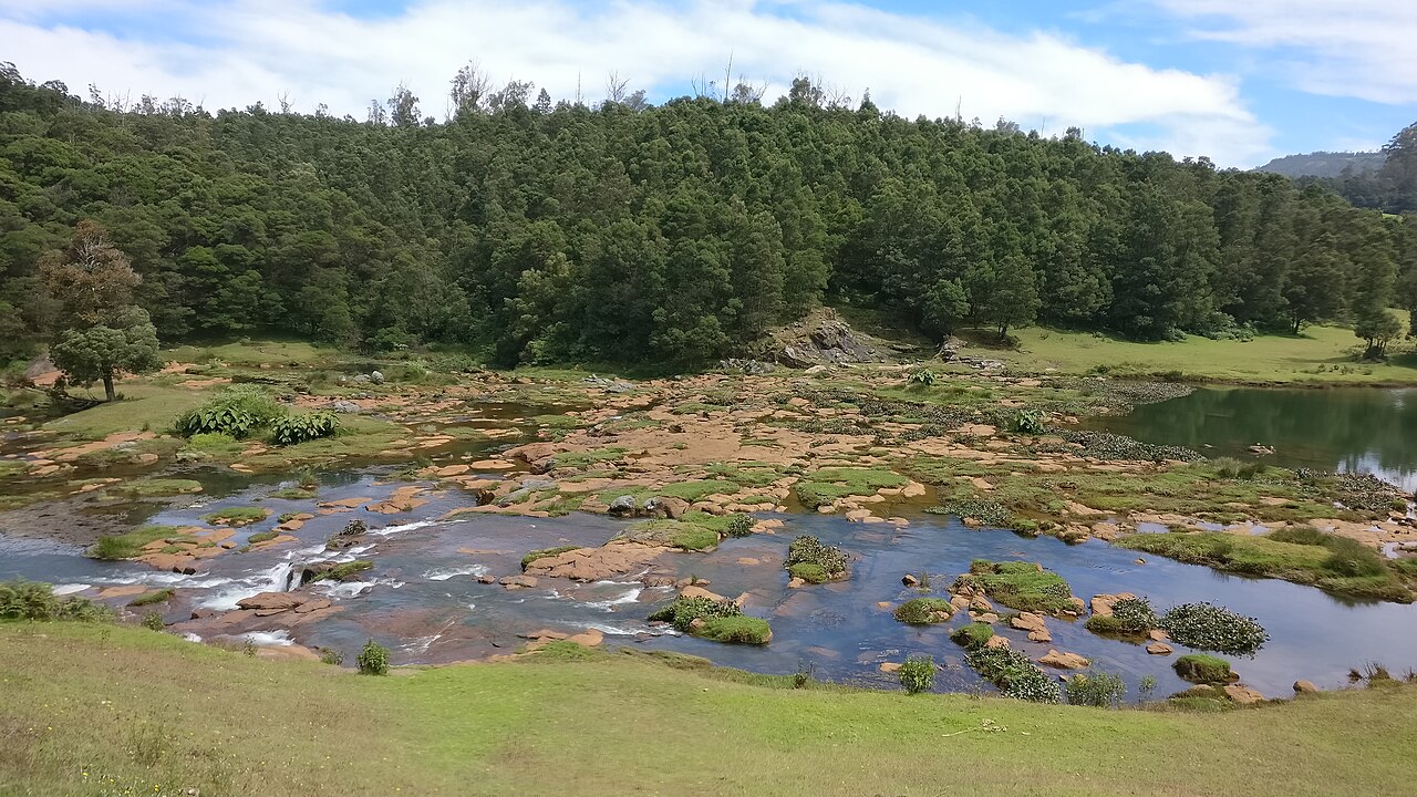
waterfallPykara Falls
The Pykara river drops here in two stages of 55 and 61 metres, on the Mysuru road 22.5 km from the Ooty bus stand by routed road — the municipality publishes it as about 20 km. The river above the falls is held sacred by the Toda.
12.5 km · ~21 min by cab · straight linewildlifeMudumalai National Park
The national park and tiger reserve that Masinagudi sits at the edge of, running along the northern slopes of the Nilgiris where they fall away to the Mysore plateau, at the meeting point of Tamil Nadu, Kerala and Karnataka. The National Tiger Conservation Authority gives it a core or critical tiger habitat of 321.00 sq km and a buffer of 367.59 sq km, 688.59 sq km in all, and it joins Bandipur in Karnataka and Wayanad in Kerala to make one of the largest stretches of protected elephant country in Asia. It was made a sanctuary in 1940, a national park in 1990 and a tiger reserve in April 2007.
13.9 km · 166 min walk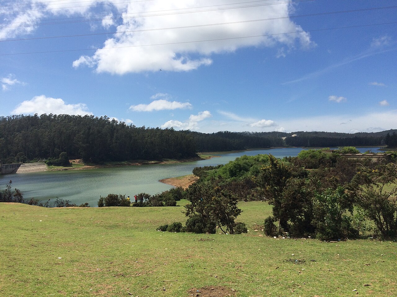
damKamaraj Sagar Dam
A small reservoir and dam near Ooty on the outskirts of town, popular as a quiet picnic and photography spot away from the crowds.
14.5 km · ~24 min by cab · straight line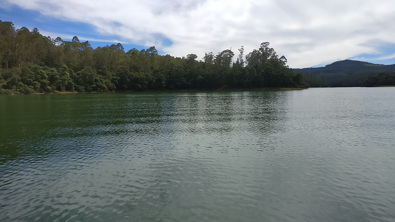
damPykara Lake
The reservoir on the Pykara river 22.2 km from the Ooty bus stand by routed road, with a boathouse running motorboat trips over water ringed by pine, shola and grassland; gaur graze the banks. The river above it is held sacred by the Toda, and the falls two kilometres downstream are part of the same site.
14.5 km · ~24 min by cab · straight line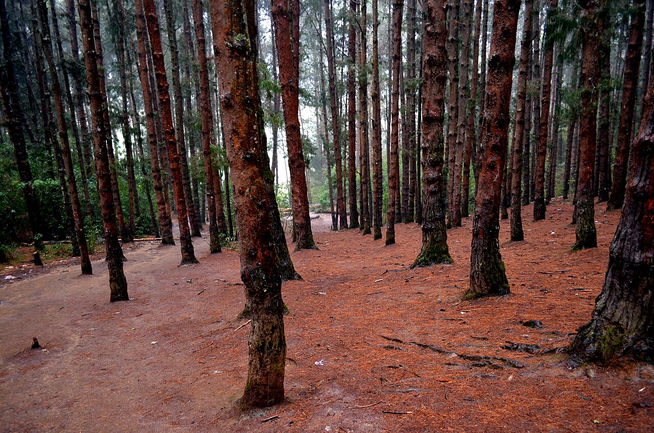
heritagePine Forest, Ooty
A dense stand of tall, closely planted pines on the slope below the Shooting Point area on the Ooty-Gudalur road. Its symmetrical rows of trees and filtered light have made it a favourite spot for photography and countless Tamil film songs. It is usually visited together with the adjoining 9th Mile Shooting Point.
15.0 km · ~25 min by cab · straight line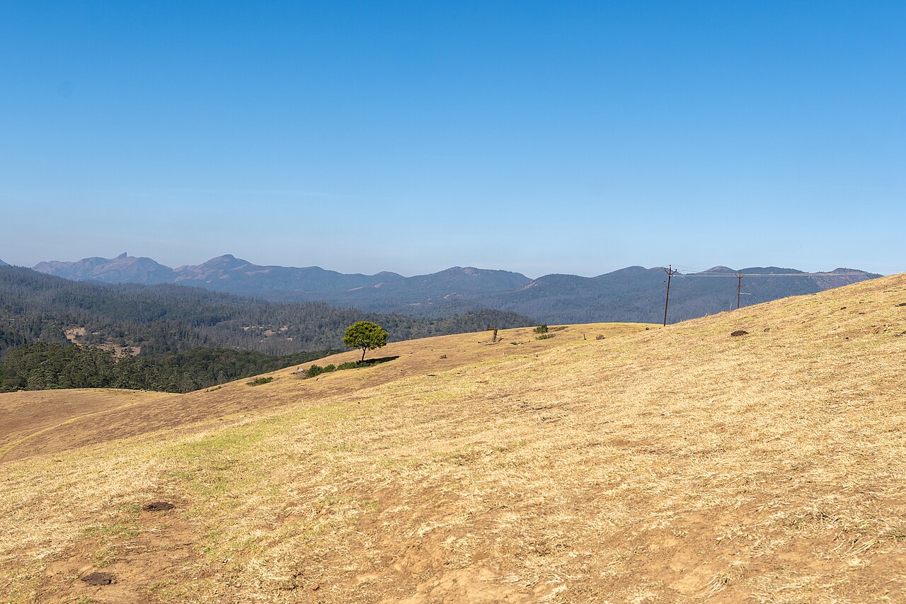
parkWenlock Downs
Rolling open grassland west of Ooty named after a former Governor of Madras, used for golf, horse riding, and as an ecologically sensitive shola-grassland tract.
15.4 km · ~26 min by cab · straight lineheritageKalhatti Ghat Road
The steep mountain road between the Masinagudi side and the Ooty plateau is subject to an official vehicle restriction. A Nilgiris district notice dated 29 April 2026 says tourist vehicles are not permitted; only TN-43 and local vehicles may use it, while eligible local residents with other registrations require a police entry pass. Visitors travelling between Masinagudi and Ooty should use the Gudalur route rather than following a shorter navigation suggestion onto Kalhatti Road.
76.4 km · 62 min driveviewpointMoyar Gorge
The gorge the Moyar has cut along the northern edge of the plateau, running roughly 85 km east from the reserve towards Sathyamangalam and forming the corridor elephants use between the Western and Eastern Ghats. It matters for something most visitors never hear about: the cliffs and the riverside Terminalia arjuna trees hold the largest nesting colony of Gyps vultures left in peninsular India, and the Forest Department is building its first Vulture Safe Zone around this valley. There is a viewpoint marked on the map north of Masinagudi, but it is inside the reserve and there is no public way to it: one routing engine refuses it outright and the other only reaches it by forest track. In practice you see the gorge from the safari or from the rim on the Sigur side.
253.8 km · 260 min driveWalking and driving times are real routed distances, except the few marked “straight line”, which are direct-line estimates and will read short.Routing: © openrouteservice.org by HeiGIT | Map data © OpenStreetMap contributors
On the map
Where Maravakandy Dam is
Good to know
Maravakandy Dam — frequently asked
When is the best time to visit Maravakandy Dam?
October to March is the cooler, drier season in the Cauvery delta.
What are the entry fee and timings at Maravakandy Dam?
Entry: No gate and no ticket — it is a working dam on the edge of the reserve buffer, not a park. Timings: Daylight only. Do not be out here at dusk or after dark.
How do I reach Maravakandy Dam?
Base yourself in Masinagudi or nearby in The Nilgiris, then confirm the last-mile route locally before travel. If access depends on temple, museum or seasonal rules, check on the day before you go.
How much time do I need for Maravakandy Dam?
About an hour.
What else is near Maravakandy Dam?
Nearby you can pair Moyar Falls (7.7 km), Theppakadu Elephant Camp (8.9 km), Glenmorgan (10.5 km), Kalhatti Falls (10.9 km).
Read before you go
Maravakandy Dam guides, stories & itineraries
We have not published a story about Maravakandy Dam itself yet. These cover Masinagudi and the wider district, with separate journeys between stops.
Around Masinagudi
These guides explore Masinagudi and the surrounding area. Choose a visit that fits your interests, allowing separately for travel between stops.
The story of Moyar Falls
Place story
The story of Moyar Falls
4 min read · Read →
Moyar Falls: history and local significance
History & significance
Moyar Falls: history and local significance
4 min read · Read →
The story of Moyar Gorge
Place story
The story of Moyar Gorge
4 min read · Read →
Tamil Nadu-wide guides & itineraries
Route-level itineraries and practical guides for the rest of Tamil Nadu.
The story of St. Michael's Church, Shanthoor
Place story
The story of St. Michael's Church, Shanthoor
4 min read · Read →
The story of Hethai Amman Shrine, Ketti
Place story
The story of Hethai Amman Shrine, Ketti
4 min read · Read →
The story of All Saints Church, Coonoor
Place story
The story of All Saints Church, Coonoor
4 min read · Read →
Image credits
Photographs: Timothy A, CC BY-SA 4.0, via Wikimedia Commons (CC BY-SA 4.0). Wikimedia Commons.