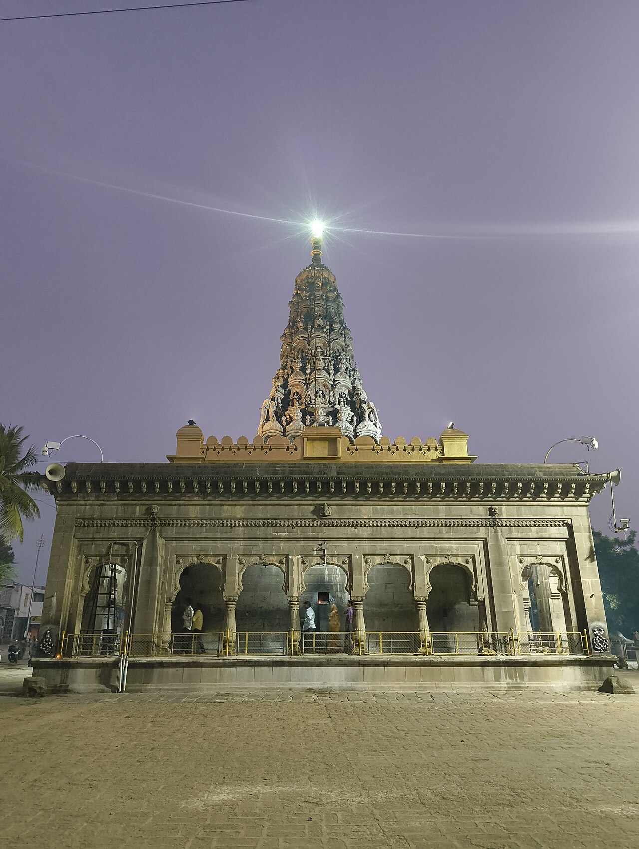
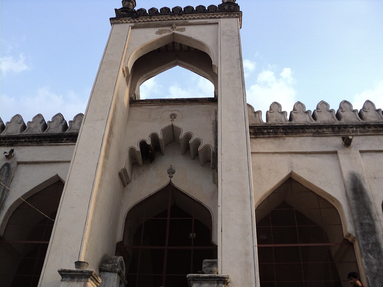
Highlights
- The ruined city walls and gateways.
- The old mosque and palace remains.
- The riverside setting on the Bhima.
The ruined pleasure-capital founded on the Bhima around 1400 by Sultan Firoz Shah Bahmani — a walled city with a mosque, palace and gateways, now a quiet field of Bahmani ruins south-west of Kalaburagi. This heritage guide is organized from Firozabad in Kalaburagi district, with practical planning for routes, timing, nearby stays, food, operators and direct local inventory. Use it to compare what to see, how long to spend, when to go and which heritage stays, local guides, restaurants, shops, wellness options, transport and visitor services should be verified around Firozabad Ruins.
Firozabad is the ruined pleasure-capital founded on the Bhima around 1400 by Sultan Firoz Shah Bahmani, south-west of Kalaburagi.
A walled city with a mosque, palace and gateways, it is now a quiet, atmospheric field of Bahmani ruins by the river.
Road km to Kalaburagi; ghat roads and traffic vary — allow extra.
October to February; morning light on the ruins.
Live forecast loads in your browser.
Sun and moon are calculated for this location and shown in IST. Photography windows are the hour around sunrise and sunset; the sunset bearing is degrees clockwise from true north. Moon phase is accurate to about half a day.
Verified hotels, homestays, restaurants, experiences, sights, shops and rentals around Firozabad Ruins — commission-free, with direct contact. Filter by what you need.
Verified places are being added. The category filters will fill in as approved stays, restaurants, experiences, sights, shops and nature listings go live.
List your placeRoampedia is commission-free — own or know a stay, eatery, guide or shop near Firozabad Ruins? List it and it appears here once verified.
Add a nearby businessEntry: Free
~25 km south-west of Kalaburagi near Firozabad village; by taxi
Work out your return before you settle in for the sunset. Public transport here thins out sharply in the evening, and Firozabad Ruins is easier to reach than to leave. We do not publish departure times: there is no official live feed we are permitted to republish, and a wrong time here would strand you. Check the operator directly on the day.
Ask at the bus stand for the time of the last service back, not the next one. If you miss it, an auto or app cab is the fallback — agree the fare before you get in.
We have not assessed physical access at this place yet. Across India, step-free routes, handrails and accessible toilets are the exception rather than the rule, and pavements are often interrupted — if step-free access matters to you, contact the site or a local operator before committing to the trip.
Emergency numbers are verified against official government and state tourism sources. 112 works anywhere in India.
Walking and driving times are real routed distances, except the few marked “straight line”, which are direct-line estimates and will read short. Routing: © openrouteservice.org by HeiGIT | Map data © OpenStreetMap contributors
October to February; morning light on the ruins.
Entry: Free. Timings: Daylight hours.
About 25 km south-west of Kalaburagi near Firozabad village; reached by taxi. An open, undeveloped ruin — go by day and carry water.
1 to 1.5 hours.
Nearby you can pair Buddha Vihar (27.0 km), Sharana Basaveshwara Temple (28.3 km), Gulbarga Fort (28.8 km), Jama Masjid, Gulbarga Fort (28.9 km).
We have not published a story about Firozabad Ruins itself yet. These cover Firozabad, the town it sits in, and the wider district.
Route-level itineraries and practical guides for the rest of Karnataka.
Photographs: Pinakpani, CC BY 4.0, via Wikimedia Commons (CC BY 4.0). Wikimedia Commons.