What to expect
Highlights
- The ruined Rashtrakuta fort walls and bastions.
- The historic Jain math and its shrines.
- The Kagina riverside setting.
Malkhed, on the Kagina river, is ancient Manyakheta — the imperial capital of the Rashtrakutas from the 9th to 10th centuries.

A ruined fort of bastioned walls survives, along with a celebrated Jain math whose lineage and manuscripts go back over a thousand years.
Road km to Kalaburagi; ghat roads and traffic vary — allow extra.
October to February; mornings are cool.
Live forecast loads in your browser.
Sunset is in about 3 hours.
Sun and moon are calculated for this location and shown in IST. Photography windows are the hour around sunrise and sunset; the sunset bearing is degrees clockwise from true north. Moon phase is accurate to about half a day.
Verified hotels, homestays, restaurants, experiences, sights, shops and rentals around Malkhed (Manyakheta) — commission-free, with direct contact. Filter by what you need.
Verified places are being added. The category filters will fill in as approved stays, restaurants, experiences, sights, shops and nature listings go live.
List your placeRoampedia is commission-free — own or know a stay, eatery, guide or shop near Malkhed (Manyakheta)? List it and it appears here once verified.
Add a nearby businessEntry: Free
~40 km east of Kalaburagi in Sedam taluk; by road
If you are travelling by bus or ferry, check the return service with the operator before setting out. Leave time to reach the stop or jetty after your visit.
Ask at the bus stand for the time of the last service back, not the next one. If you miss it, an auto or app cab is the fallback — agree the fare before you get in.
If you need step-free access, contact the site before travelling. Ask about a level entrance, steps along the route, the nearest drop-off point, seating and accessible toilets.
Emergency numbers are verified against official government and state tourism sources. 112 works anywhere in India.

A large modern Buddhist vihara opened in 2009 on the Sedam road, its 70-foot central dome and gateways drawing on the Sanchi, Sarnath, Ajanta and Nagpur traditions — a serene, contemporary counterpoint to the city’s medieval monuments.
31.1 km · ~52 min by cab · straight line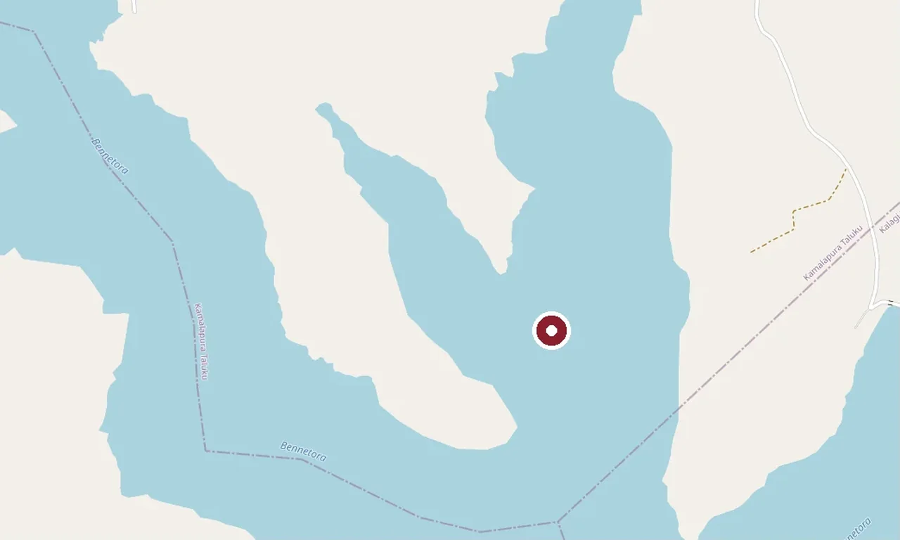
An irrigation dam and reservoir on the Bennethora river in the Chittapur belt, its long bund and open water a quiet stop in the district’s dry countryside.
33.7 km · ~56 min by cab · straight line
The dargah of the 14th- to 15th-century Sufi saint Khwaja Bande Nawaz Gesu Daraz, one of the most revered Sufi shrines in South India — an Indo-Saracenic complex with painted interiors, a historic library and a vast annual urs.
36.8 km · ~61 min by cab · straight line
A walled group of seven great Bahmani royal tombs on the eastern edge of the city — "haft gumbaz", the seven domes — the largest being the twin-domed mausoleum of Sultan Firoz Shah Bahmani.
37.3 km · ~62 min by cab · straight line
The Bahmani citadel rebuilt by Ala-ud-din Bahman Shah in the 14th century when Gulbarga became the sultanate’s first capital — a moated fort with double walls, fifteen towers and old cannon, enclosing the great Jama Masjid and ruined palaces.
38.6 km · ~64 min by cab · straight line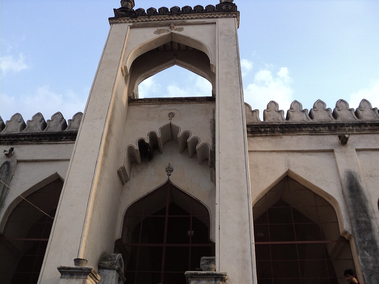
The grand mosque built inside Gulbarga Fort around 1367, its entire courtyard famously roofed by scores of domes and arched bays — a design often said to echo the Great Mosque of Córdoba, and one of the earliest such mosques in the Deccan.
38.6 km · ~64 min by cab · straight line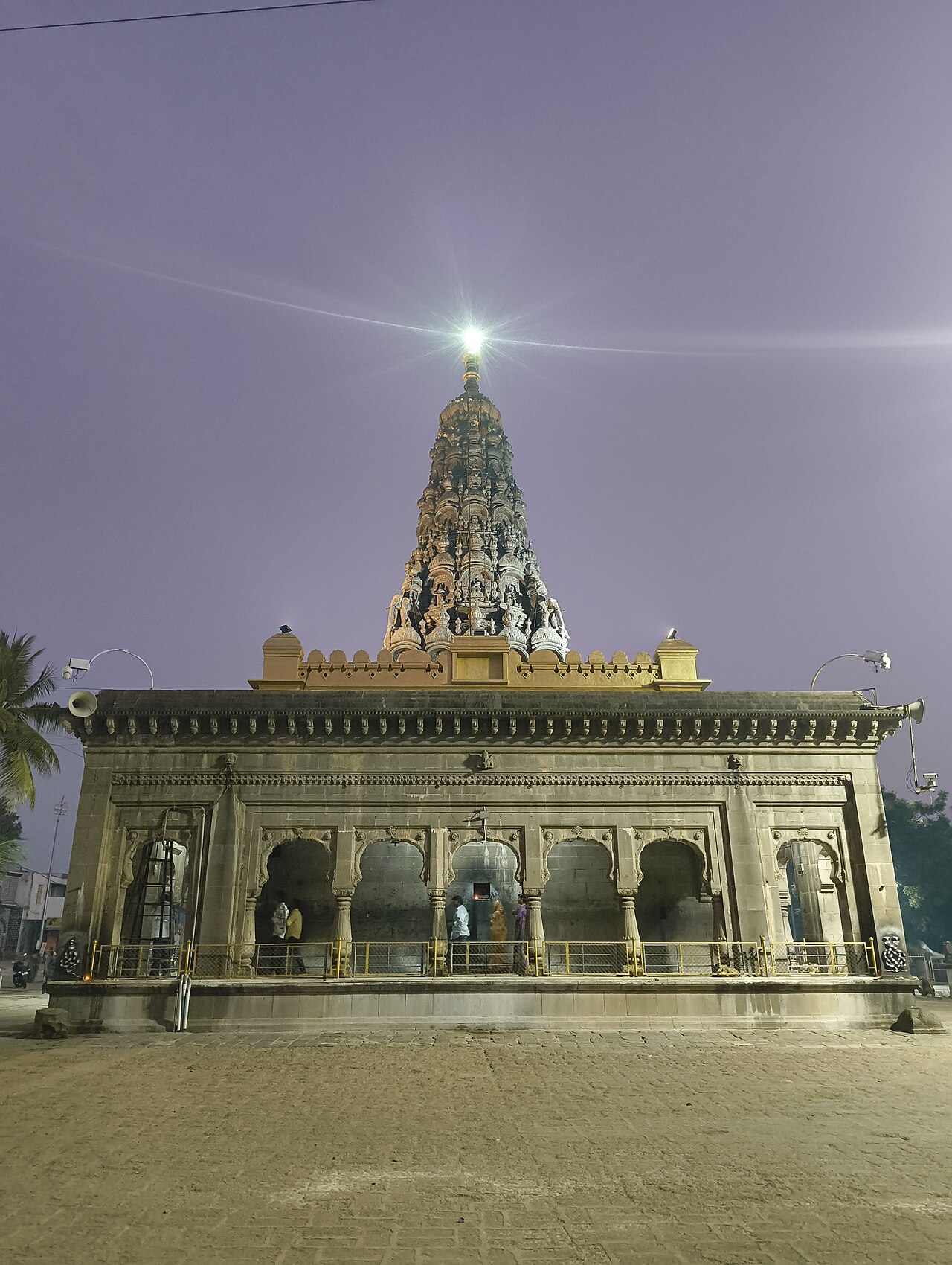
The principal shrine of the 18th-century philosopher-saint Sharana Basaveshwara in the heart of Kalaburagi, set beside a large sacred tank; a major Lingayat pilgrimage centre with a great annual jatre and chariot festival.
38.9 km · ~65 min by cab · straight line
A 14th-century Bahmani mosque with a broad arcaded prayer hall and an adjoining square domed tomb, a lesser-visited monument of the old capital.
39.7 km · ~66 min by cab · straight line
A tall, isolated 14th-century Bahmani tomb on a rise near the city, known for the strong echo under its great dome; its massive proportions are said to have anticipated Bijapur’s Gol Gumbaz.
40.9 km · ~68 min by cab · straight lineThe ruined pleasure-capital founded on the Bhima around 1400 by Sultan Firoz Shah Bahmani — a walled city with a mosque, palace and gateways, now a quiet field of Bahmani ruins south-west of Kalaburagi.
41.2 km · ~69 min by cab · straight line
The excavated Maha Stupa at Kanaganahalli near Sannati — a roughly 2,000-year-old "Adholoka Maha Chaitya" ringed by carved limestone panels, including a unique portrait relief of Emperor Ashoka; one of the most important early Buddhist finds in the Deccan.
46.8 km · ~78 min by cab · straight lineThe Chandralamba (Chandrala Parameshwari) temple on the Bhima at Sannati — a Shakta pilgrimage site whose 1986 collapse of a slab revealed rare Ashokan edicts, linking the living temple to one of India’s oldest Buddhist landscapes.
47.9 km · ~80 min by cab · straight lineOctober to February; mornings are cool.
Entry: Free. Timings: Daylight; math has its own hours.
About 40 km east of Kalaburagi in Sedam taluk; reached by road with a vehicle. Pair it with Sedam on a day trip; carry water as facilities are limited.
1 to 1.5 hours.
Nearby you can pair Buddha Vihar (31.1 km), Bennethora Dam (33.7 km), Khwaja Bande Nawaz Dargah (36.8 km), Haft Gumbaz (37.3 km).
We have not published a story about Malkhed (Manyakheta) itself yet. These cover Malkhed and the wider district, with separate journeys between stops.
Route-level itineraries and practical guides for the rest of Karnataka.

.jpg?width=1280)


.png?width=1280)
Photographs: SUPADHYAY, CC BY-SA 4.0, via Wikimedia Commons (CC BY-SA 4.0). Wikimedia Commons.