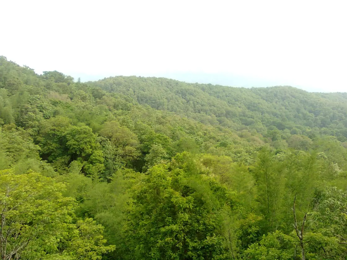
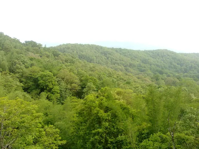
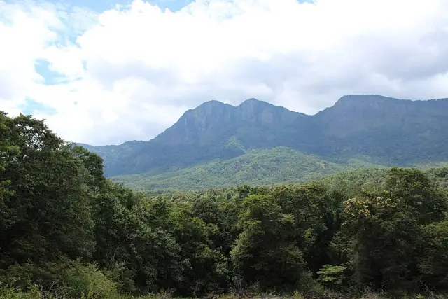
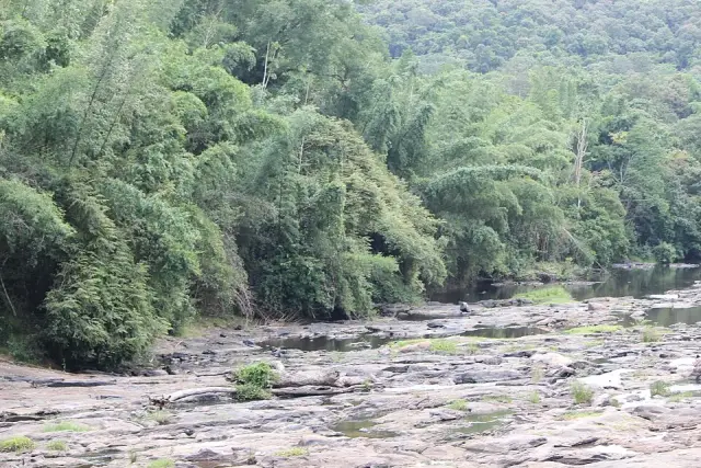
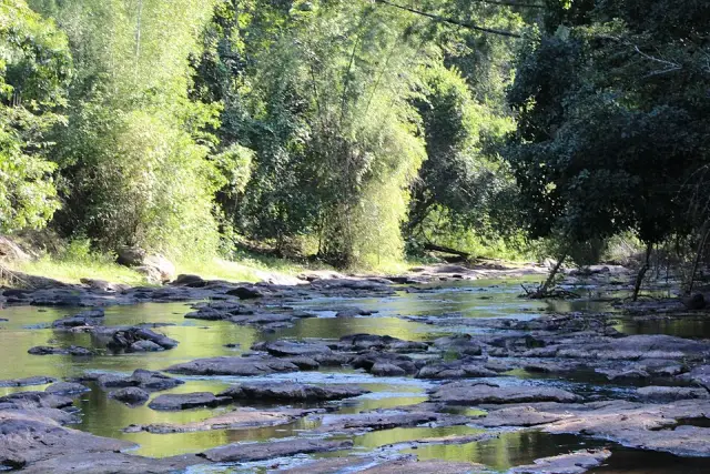
Parambikulam is one of the few places in Kerala where the word “town” has to be used carefully. It is a cluster of six settlements — Anappady, Thunacadavu, Sungam, Earth Dam, Kuriarkutty and Poopara — strung along forest roads inside a 643.66 sq km tiger reserve on the Palakkad–Thrissur border, and the Forest Department counts 1,139 people living in 290 households among them. There is no motorable road in from the Kerala plains; every visitor and most residents arrive through Pollachi and Sethumadai in Tamil Nadu. The valley floor is under water, held by three reservoirs built for an inter-state irrigation scheme, and the ridges above it were logged for sixty years by a freight tramway that ran to Chalakudy. What survives is a working forest settlement whose history is written in rails, water agreements and the four adivasi communities who were here before either.
The reason Parambikulam has a name outside forestry circles at all is a railway that no longer exists. In the last years of the nineteenth century the Cochin State’s first Conservator of Forests, J. C. Kolhoff, proposed hauling the Parambikulam teak out by tramway rather than floating it down the Chalakudy river; a forest officer on special duty, V. Alwar Chetty, was given the job of building it, with the survey work done by two British officers named Haldwell and Floukes. The Governor of Madras, Lord Ampthill, inaugurated construction on 3 October 1905, in the reign of Rama Varma XV of Cochin, and the line opened in 1907. On 26 June that year the Maharaja passed the Cochin Forest Tramway Act to govern it.
The Cochin State Forest Tramway ran 79.5 km — 49½ miles — from the timber yard and workshop at Chalakudy up into the Parambikulam forests, on a 1,000 mm metre gauge, in three sections: Chalakudy to Anapantham (21 miles), Kavalai to Pothupara (six miles) and Komalapara to Chinnar (22½ miles), with sixteen stations. It climbed roughly 1,400 feet. Where the gradient beat adhesion, the line used five wire-rope inclines worked on the counterpoise principle: a loaded wagon running down hauled an empty one up on the other end of the rope, so gravity paid most of the fuel bill.
It was, by the standards of 1907, a serious piece of engineering — 254 bridges and culverts, with the ironwork supplied by P. & W. MacLennan of Britain, and locomotives and rolling stock from Orenstein & Koppel of Germany, including a 150 hp 0-6-0T delivered in 1907 as works number 2604. Scientific American ran an illustrated piece on the line on 26 February 1910, with photographs of elephants shunting logs to the loading points and timber trains standing in forest so dense the trees close overhead.
Most of the physical work of cutting and holding that alignment was done by the Kadar, the forest community whose territory the line crossed, and the record on what they got for it is unflattering: wages and a trade in turmeric, honey and cardamom with merchants at the railhead, against a timber revenue that helped fund the construction of Cochin Port and the reclamation of Willingdon Island. By the 1920s the tramway’s own finances were failing. The response was to cut more forest to feed it, which accelerated the clearance it was built to serve. Committee after committee recommended closure, and on the report of a finance committee the line was finally abolished in 1963.
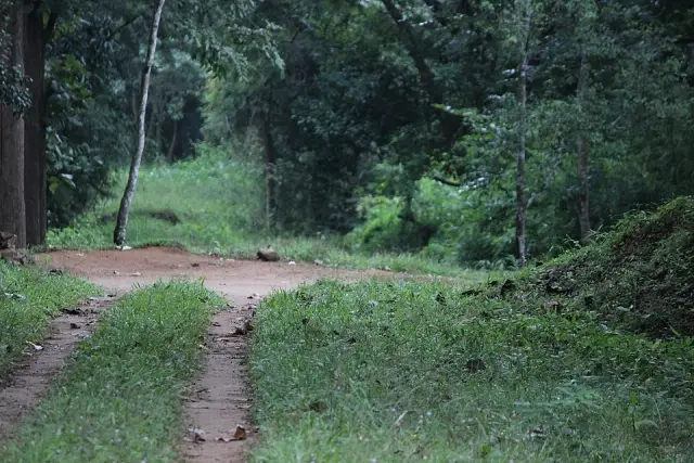
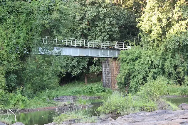
The alignment did not disappear. Formations, cuttings, culvert abutments and at least one masonry-piered bridge across the Karappara survived in the forest, and for years the Forest Department ran a guided “Tramway Trek” along part of it; that programme was discontinued in 2013 when access rules tightened. Anyone reading a Parambikulam map with a nineteenth-century eye is really reading a logging map: the settlement names along the modern road are the old working points of a timber operation.
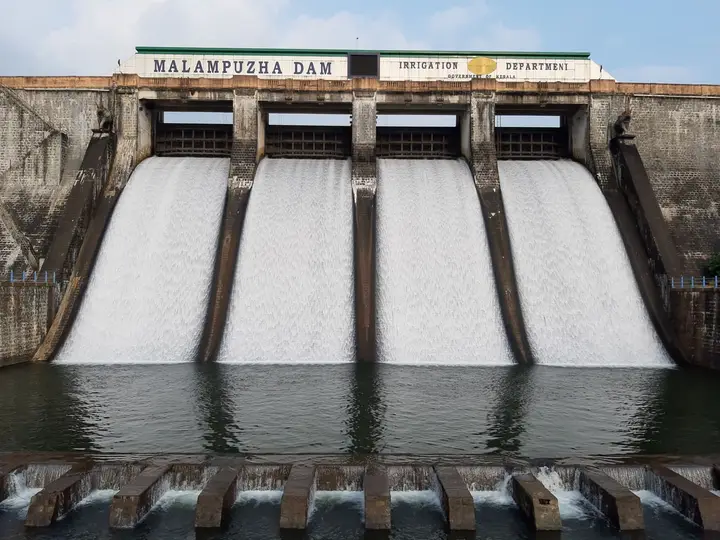
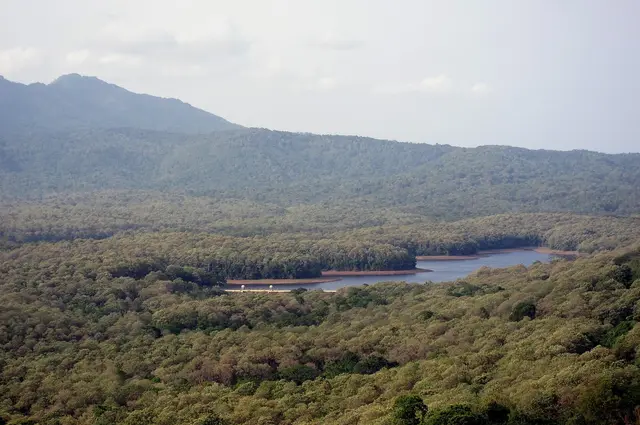
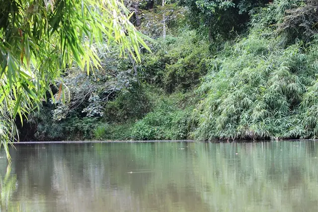
The second thing that made Parambikulam is water. The Parambikulam–Aliyar Project, executed between 1958 and 1990, diverts and links eight west-flowing rivers — six in the Anamalai hills and two on the plains — to irrigate the drought-prone country around Coimbatore and Erode, and to stabilise irrigation on the Chittur puzha in Kerala. Ten dams and six main tunnels were built. Three of the reservoirs sit inside the reserve and cover 20.66 sq km between them: Parambikulam, the largest at 17,820 million cubic feet; Thunacadavu, the balancing reservoir, at 557 Mcft; and the Peruvaripallam earth dam at 620 Mcft. The Parambikulam tunnel, 8,186 ft of unlined horseshoe bore 16 ft 9 in across, carries water from Parambikulam into Thunacadavu.
The arrangement is unusual enough to be worth stating plainly: the Parambikulam dam stands in Kerala, on Kerala’s land, and is operated by Tamil Nadu. That is what the agreement provides for. The Parambikulam Main Canal, at 124 km the longest irrigation canal in the system, serves about 1,25,160 hectares, almost all of it in Tamil Nadu, and the scheme’s four power houses — two at Sholayar, one at Sarkarpathy, one at Aliyar — total 185 MW of installed capacity.
The third thing is the people. Four communities live inside the reserve: the Kadar, at Earth Dam, Kuriarkutty and Kaadas (157 households, 608 people); the Malasar at Sungam (80 households, 309); the Muduvar at Poopara (39 households, 167); and the Mala Malasar at Anchaam (14 households, 55). The Kadar are one of South India’s classic forager communities; the Malasar speak a register that mixes Tamil and Malayalam; the Muduvar trace themselves to Madurai; the Mala Malasar were, within living memory, the most mobile of the four. All of them lost valley land to the reservoirs.
Since the reserve was notified, the Forest Department has built its tourism around them rather than beside them. Seven eco-development committees hold the ecotourism programmes; the guides, boat crews and forest watchers on the reserve’s trails are drawn from the four communities, and Ecoshops sell honey, beeswax balm, bamboo work and handicrafts under the same arrangement. It is the reason Parambikulam is cited as a community-tourism model rather than simply a well-run park, and it is why the Parambikulam Tiger Conservation Foundation was given the NatWest Group’s Earth Guardian award.
Legend & myth
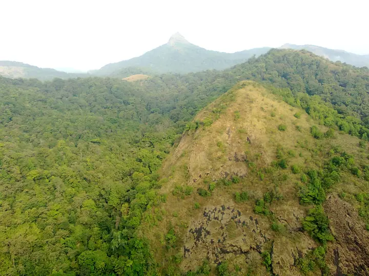
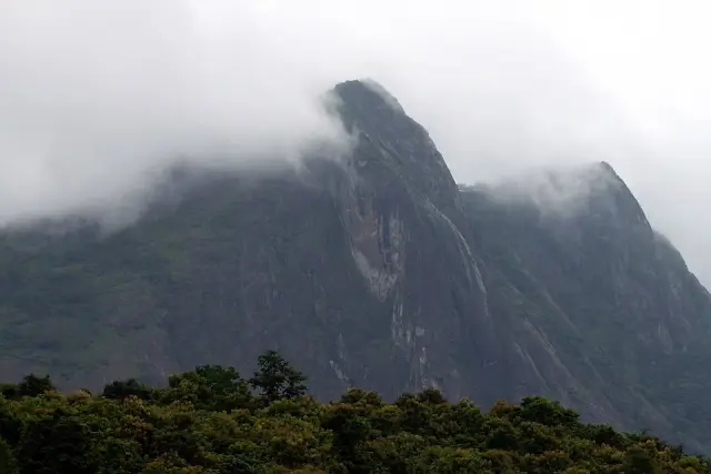
The sacred geography of Parambikulam does not centre on the reservoirs or the road. It centres on a mountain most visitors never see. Karimala Gopuram, 1,438 m, the highest point in the Thrissur district and the reserve’s southern boundary marker, is recorded in published work on Kadar religion as the community’s most important holy place — the point at which the main collective prayers and ceremonies are held. The name itself is a compound of hill and temple tower: the peak is read as a gopuram, a shrine gateway standing over the forest, which is a way of saying that the mountain is not a place where a temple was built but a place that is one.
A caution before going further, because the name traps people. This Karimala is not the Karimala of the Sabarimala pilgrimage. That one — the hard eight-level climb between Mukkuzhy and the Anavattoms on the traditional Erumely forest route — is in Pathanamthitta, more than 150 km to the south, and belongs to an entirely different devotional tradition. The two hills share only a common Malayalam name meaning “black hill”. Nothing in the Ayyappa cycle attaches to Parambikulam, and any account that moves the Sabarimala Karimala into these forests has simply confused two hills.
The Kadar pantheon, as it has been described in the ethnographic literature, is organised in groups of deities answering to different departments of forest and social life, among them the Mala Devatams, also called the Makannimar — a set of seven, held responsible for the supply of tubers, roots and the other forest produce a foraging economy depends on. Seven virgin goddesses recur across South Indian folk religion as the Saptha Kanniyar, and the Kerala Forest Department’s own account of the Kannimara teak makes the link explicit: the giant tree was worshipped, it says, in association with the Saptha Kanniyar, the seven virgin guardians. The tree’s name — kanni, virgin; mara, tree — is usually explained by the well-known legend of the axe and the bleeding trunk, which is told in full elsewhere on this site and is not repeated here. The seven-goddess reading is the older and quieter one, and it makes the Kannimara less a curiosity with a ghost story attached than the surviving marker of a pantheon that once covered these hills.
The Muduvar of Poopara carry their own origin account, and it is a migration story rather than a place story. They hold that they came into the Anamalai hills from Madurai after war or disturbance broke the Pandya court, and that their name is from muthuku, the back: they crossed carrying their children, their goods and — in the version most often told — their dethroned king on their backs rather than on their heads, and were named for it. Another telling has the burden being the image of the goddess Meenakshi herself, brought out of Madurai on the shoulders of the people who would not leave her. A community that has been in these forests for centuries still explains itself by the direction it walked in and what it refused to put down.
Belief here also shows up as prohibition, which is often the more reliable evidence. The Kadar hold the gaur — the wild bison of these forests — under a killing taboo, and treat its death as a bad omen; the tiger is not to be killed, and no part of a tiger may be used, on the understanding, common to several forest communities of the Ghats, that the tiger is sent by the high god to punish wrongdoers. Whatever the modern reserve believes it is protecting, the animals at the top of its list were under local protection long before there was a notification.
Death is marked twice. The Kadar bury the dead, and then hold a second and much larger ceremony some time afterwards, at which a crowd gathers and there is a feast; until that second rite, the soul is understood to be still loitering in the jungle, and only after it does the soul go up into the sky to join the others. The anthropologist U. R. Ehrenfels, who worked among the Kadar of Cochin and published on them in 1952, thought the accompanying ideas of reward and punishment were a relatively recent import from the surrounding Tamil population rather than anything old in Kadar thinking — a useful reminder that a forest religion is not a fossil and has been in conversation with its neighbours for as long as it has had them.
One honest gap should be recorded. We searched in Malayalam — പറമ്പിക്കുളം, ഐതിഹ്യം, ക്ഷേത്രം, ആദിവാസി, കാടർ — as well as in English, and the Malayalam Wikipedia article on പറമ്പിക്കുളം carries no legend cycle, no temple and no festival for the settlements themselves. That is not the usual result for a Kerala place name, and it has a plain explanation: these are not old agrarian villages with a kavu and a temple committee, but forest working stations and resettlement colonies laid out around a timber line and a dam project. The religion here is the Kadar’s, the Malasar’s, the Muduvar’s and the Mala Malasar’s, and it is attached to peaks, groves and rivers rather than to buildings a visitor can be shown.
More about Parambikulam
History
Before either the tramway or the dams, Parambikulam was forest under the Cochin State, and its value was measured in teak. The whole apparatus of the early twentieth century here — the 1905 groundbreaking, the Cochin Forest Tramway Act of 26 June 1907, the workshop at Chalakudy, the sixteen stations — existed to move timber to the coast for export to Britain and Europe. Sixty years of that left the reserve with the plantation-and-natural mosaic it still has, and left the Kannimara teak conspicuous largely because everything comparable around it had been cut.
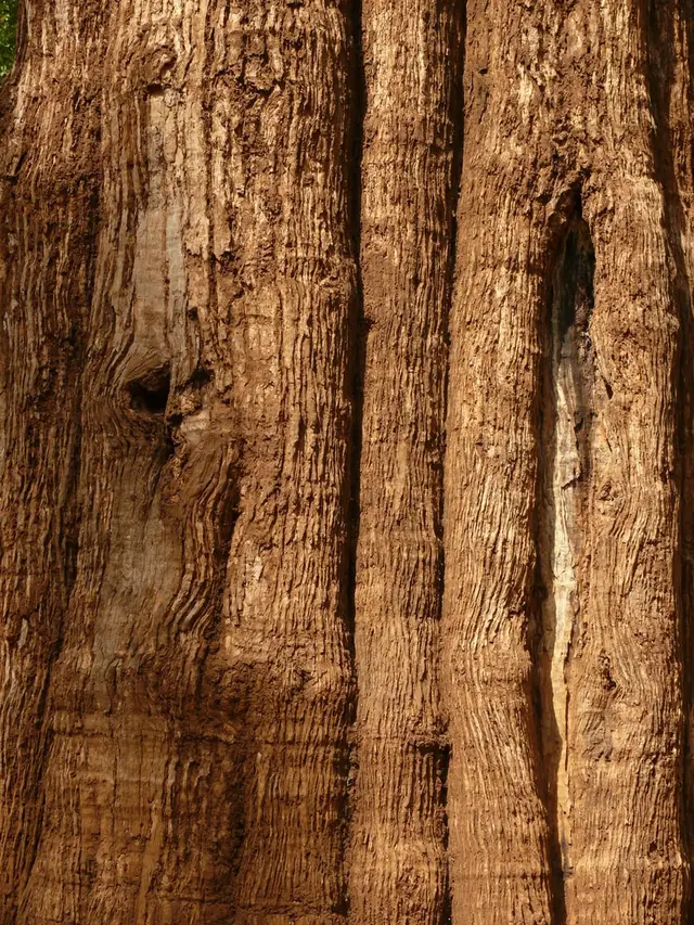
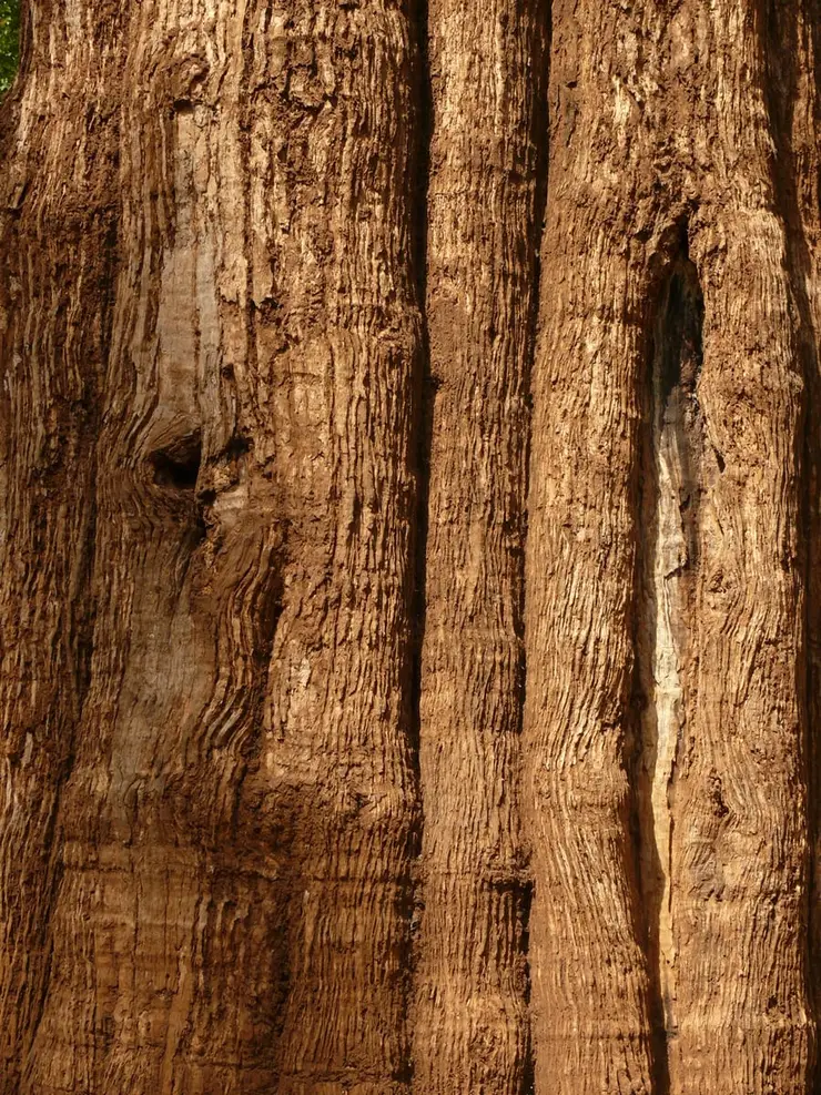
The Kannimara’s own figures are worth setting out honestly, because they do not agree. The Kerala Forest Department’s Parambikulam site gives 39.98 m in height and 7.15 m in girth at breast height, with an age of about 465 years. The English Wikipedia entry gives 41.83 m and 7.24 m and about 500 years. The Wikipedia article on the reserve itself gives 49.5 m and 6.8 m and about 450 years. The Government of India awarded the tree the Mahavriksha Puraskar in 1994. It is regularly described as one of the largest and oldest living teak trees in the world, and as the oldest teak in Asia — those are claims made by the Forest Department and repeated in the press, not findings from an independent global survey, and every source we checked gives the age as an estimate rather than a measurement.
The water agreement is dated 9 November 1958, and that is the date that matters, but the formal Parambikulam–Aliyar Project treaty between Kerala and Tamil Nadu was signed on 29 May 1970 with retrospective effect from 1958. It provides for the diversion of about 30.5 thousand million cubic feet a year from Kerala to Tamil Nadu, guarantees Kerala a riparian share in the Sholayar and Chittur puzha sub-basins as an annual entitlement outside the distress-sharing formula, and reserves four months of north-east monsoon flow from the Upper Nirar weir for Kerala’s exclusive use in the Periyar basin.
It also provides for review every thirty years from November 1958. That review fell due in 1988 and has never been completed: rounds of talks failed to produce agreement, water failed to reach Kerala after 10 February 2004 with damage to standing crops, a partial accord was reached in October 2012, and in 2019 the chief ministers of the two states met — the first meeting at that level on the subject in roughly fifteen years — and agreed to set up a five-member committee of departmental secretaries to begin the review. It remains unfinished. Parambikulam is a live inter-state file, not a settled one.
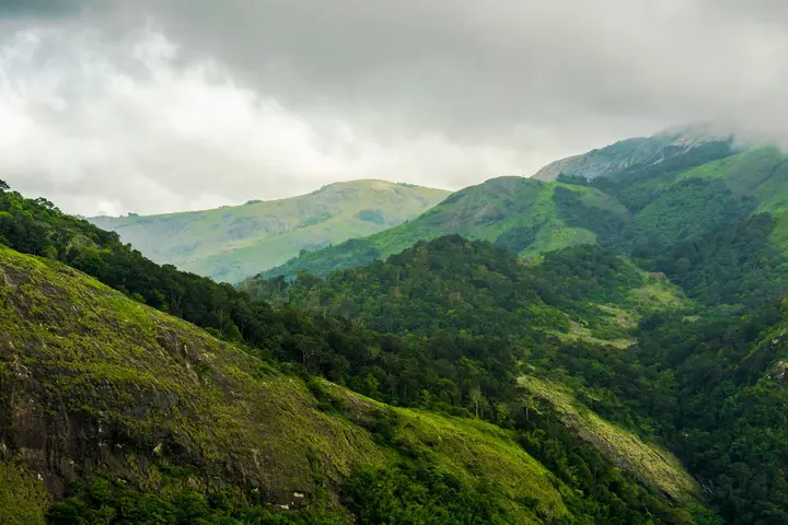
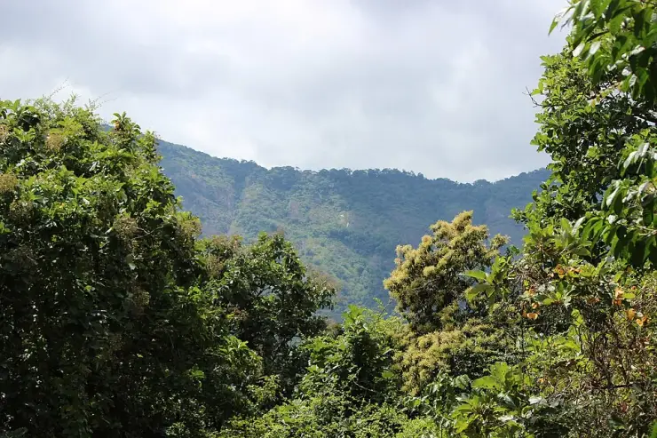
The protective history is the newest layer. A wildlife sanctuary of 285 sq km was constituted in 1973, with further additions in 1984; on 19 February 2010 Parambikulam was declared a tiger reserve, the thirty-eighth in India and the second in Kerala, and with its buffer the reserve now covers 643.66 sq km. The land runs from about 300 m to 1,438 m, from Karimala Gopuram in the south to Pandaravarai (1,290 m) in the north and Vengoli Malai (1,120 m) on the eastern boundary, and is drained by the Parambikulam, Sholayar, Thekkedy, Karappara and Kuriarkutty rivers.
Why visit
It is one of the very few inhabited settlements in Kerala that lies wholly inside a tiger reserve, and the six colonies are the reason the place exists as a place at all.
The three reservoirs — Parambikulam, Thunacadavu and Peruvaripallam — are a working inter-state irrigation cascade you can see from the road, not scenery built for visitors.
The alignment of the Cochin State Forest Tramway, closed in 1963, still runs through this forest, and the settlement names along the road are its old working points.
The reserve’s guiding, boating and forest-watching are run through seven eco-development committees drawn from the Kadar, Malasar, Muduvar and Mala Malasar.
The Kannimara teak stands roughly 10 km from the tourism office and is reached only on the reserve’s guided routes — it cannot be driven to independently.
It is deliberately hard to reach: the road comes in through Pollachi and Sethumadai in Tamil Nadu, which is exactly why it stays quiet.