Moyar Gorge

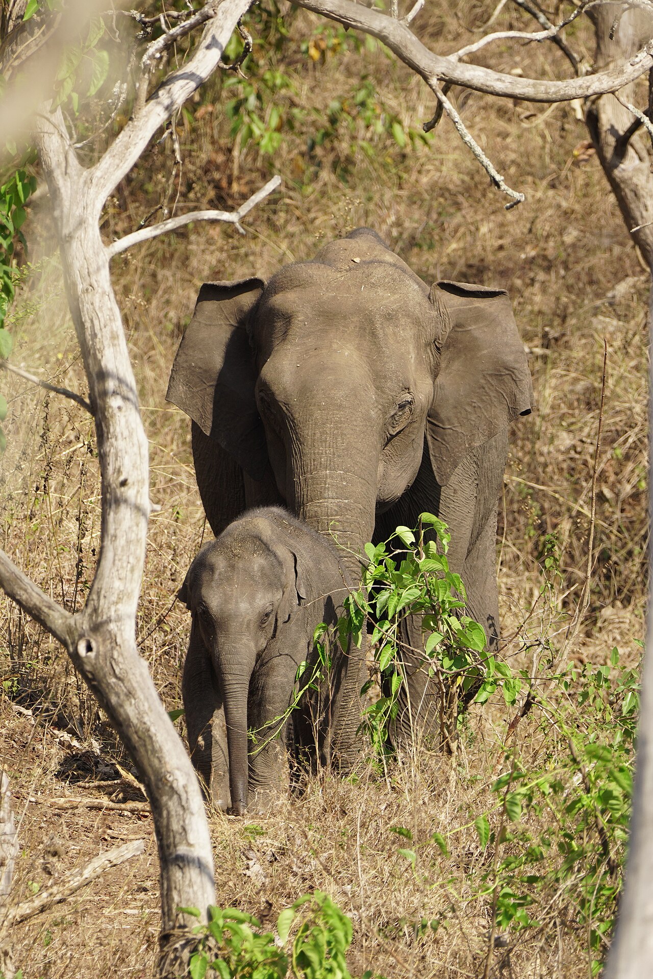
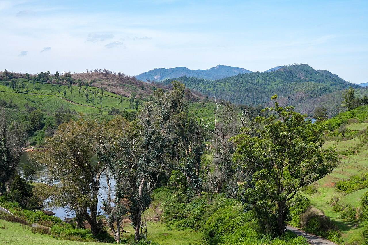
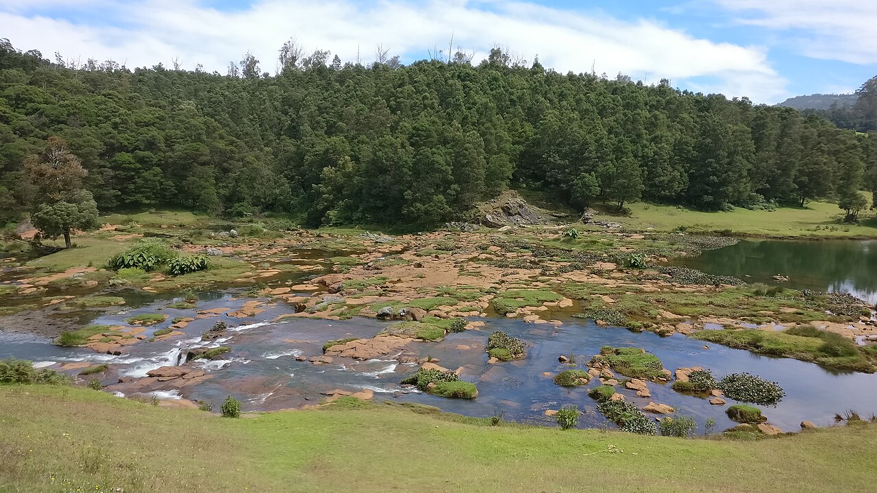
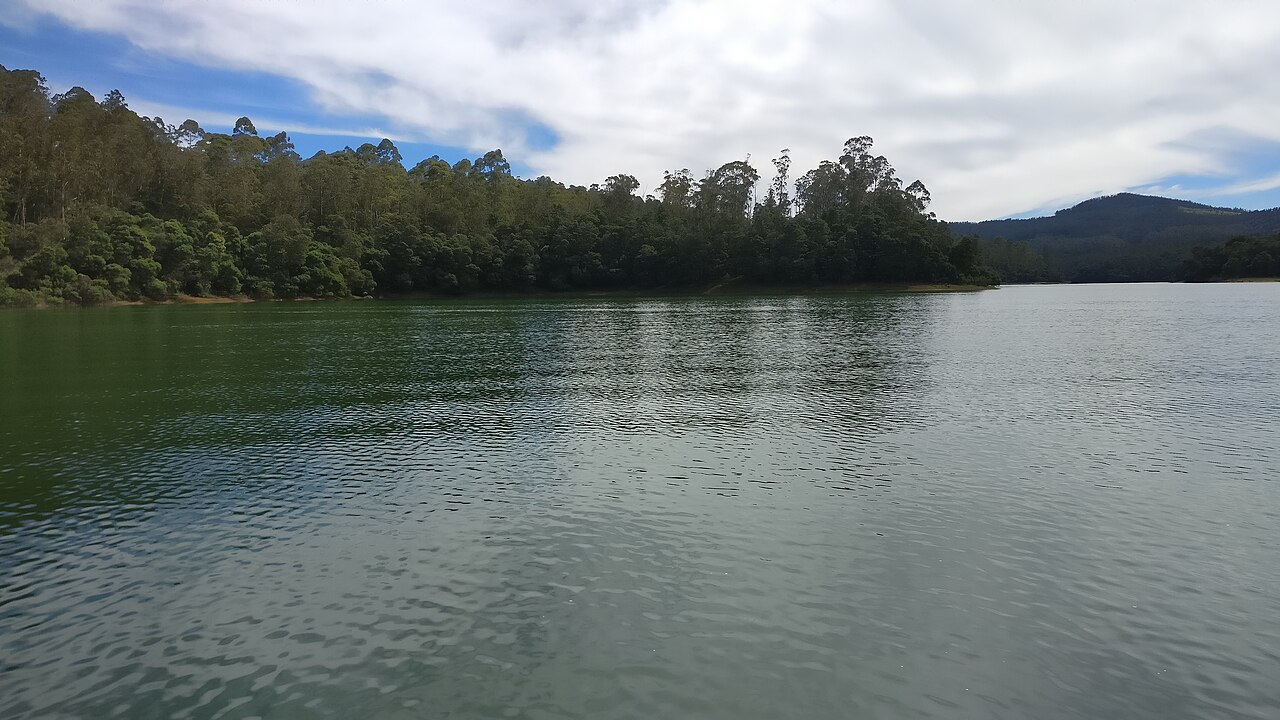
The gorge the Moyar has cut along the northern edge of the plateau, running roughly 85 km east from the reserve towards Sathyamangalam and forming the corridor elephants use between the Western and Eastern Ghats. It matters for something most visitors never hear about: the cliffs and the riverside Terminalia arjuna trees hold the largest nesting colony of Gyps vultures left in peninsular India, and the Forest Department is building its first Vulture Safe Zone around this valley. There is a viewpoint marked on the map north of Masinagudi, but it is inside the reserve and there is no public way to it: one routing engine refuses it outright and the other only reaches it by forest track. In practice you see the gorge from the safari or from the rim on the Sigur side.

Moyar Gorge, Masinagudi
Practical guide

Plan Moyar Gorge

Who's going?Tailor Moyar Gorge to your trip
Typeviewpoint
Nearest baseMasinagudi
DistrictThe Nilgiris
Best timeOctober to March is the cooler, drier…
Time neededAbout an hour
EntryNot a ticketed place
Places to visit6Listed businesses5

Moyar Gorge is planned from Masinagudi, one of the travel bases in The Nilgiris district. Use Masinagudi for stays, food and local transport, then plan this place as a focused stop.

What to expect

Highlights

Getting there

How to visit

  • Base yourself in Masinagudi or nearby in The Nilgiris, then confirm the last-mile route locally before travel.
  • If access depends on temple, museum or seasonal rules, check on the day before you go.
Timing

Best time

October to March is the cooler, drier season in the Cauvery delta.

Weather in Moyar GorgeSeasonal guide

Live forecast loads in your browser.

Today at Moyar Gorge
Sunrise6:13 am
Sunset6:35 pm
Golden hour best light5:35 pm–6:35 pm
Blue hour after sunset6:35 pm–7:00 pm
Sun sets toward compass bearingW · 279°
Moon tonight🌖 Waning gibbous · 85%
South-west monsoon. June to September brings heavy rain to Tamil Nadu. Trails, falls and ghat roads can be slippery, swollen or closed at short notice, and forest departments sometimes suspend access. Check locally on the day before you travel.

Sun and moon are calculated for this location and shown in IST. Photography windows are the hour around sunrise and sunset; the sunset bearing is degrees clockwise from true north. Moon phase is accurate to about half a day.

Stay · eat · do · rent · see · shop

Stays, food & things to do near Moyar Gorge

Verified hotels, homestays, restaurants, experiences, sights, shops and rentals around Moyar Gorge — commission-free, with direct contact. Filter by what you need.

2 things to do near Moyar Gorge

M
Mudumalai Jungle Safari, Theppakadu
Things to do
Top pick
Wildlife safari
Mudumalai Jungle Safari, Theppakadu

The Forest Department's own safari into the tourism zone of the tiger reserve, from the reception centre at Theppakadu. It costs a flat 4,200 rupees for a vehicle and runs six times a day.

Commission-freeView details
T
Theppakadu Elephant Camp visit
Things to do
Top pick
Elephant camp
Theppakadu Elephant Camp visit

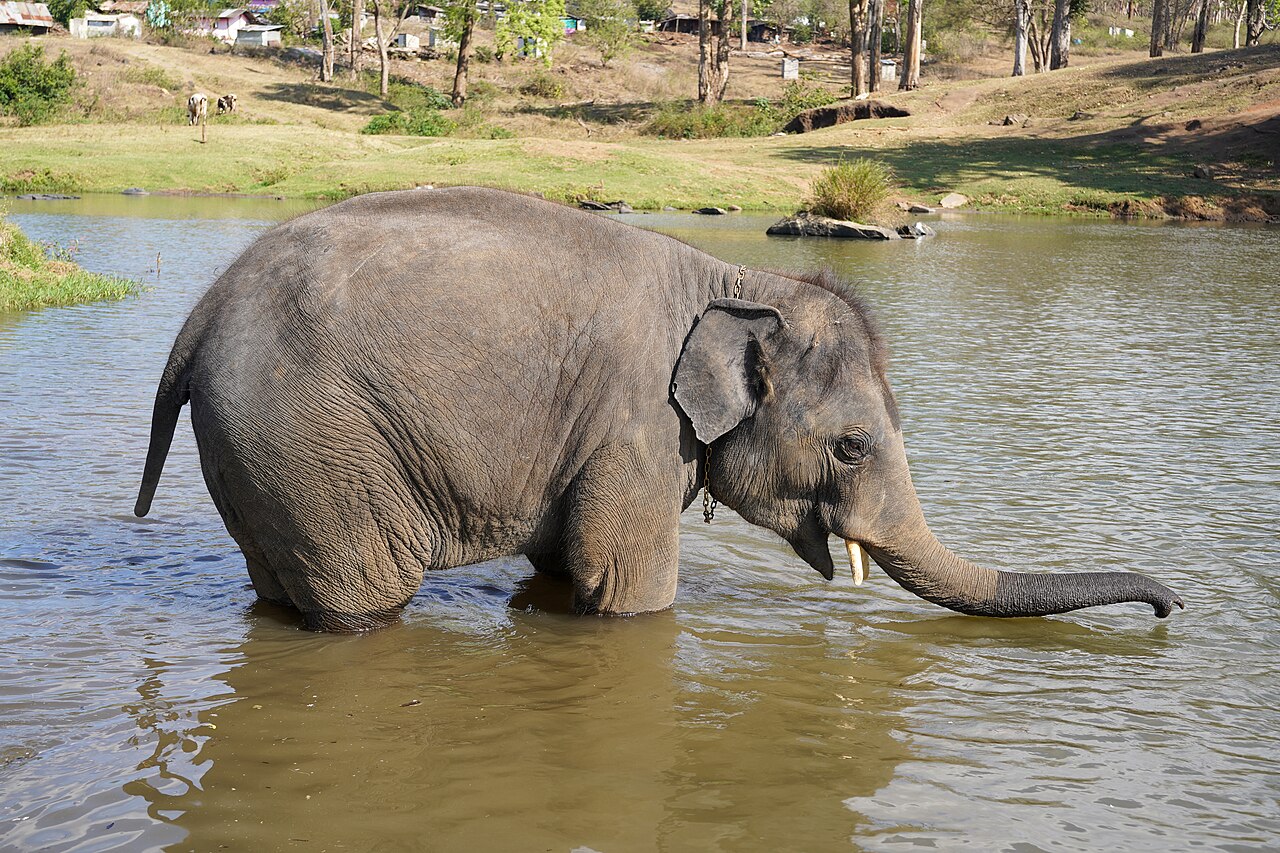
The Forest Department's elephant camp on the bank of the Moyar, open to visitors for half an hour twice a day at feeding time. Twenty-eight elephants live here, including the two calves from The Elephant Whisperers.

Commission-freeView details

Book with the place itself. India’s cyber-crime coordination centre warned in April 2025 that convincing copies of hotel and pilgrimage booking sites are being pushed through sponsored search and social ads, taking payment for rooms the property never hears about. Every listing here links to the business’s own contact details and its own Google or Bing profile — we take no commission and sit in nobody’s payment path. If a booking page reached you through an ad, check the address bar against the property’s own site before you pay. Fraud can be reported on cybercrime.gov.in or on 1930.

Ranked

The best of Masinagudi, ranked

Moyar Gorge sits in Masinagudi, and these rank everything verified across the town rather than this one spot — built from the same listings shown above, ordered by the strength of the source evidence behind each entry rather than by anyone's star score. Every card shows how many places are really on it. Nobody pays to appear.

Across the whole of Masinagudi

Ranked guides

Top experiences around Masinagudi

5 more places around Masinagudi, each worth a day of its own.

wildlifeMudumalai National Park

10.6 km · 127 min walk

The national park and tiger reserve that Masinagudi sits at the edge of, running along the northern slopes of the Nilgiris where they fall away to the Mysore plateau, at the meeting point of Tamil Nadu, Kerala and Karnataka. The National Tiger Conservation Authority gives it a core or critical tiger habitat of 321.00 sq km and a buffer of 367.59 sq km, 688.59 sq km in all, and it joins Bandipur in Karnataka and Wayanad in Kerala to make one of the largest stretches of protected elephant country in Asia. It was made a sanctuary in 1940, a national park in 1990 and a tiger reserve in April 2007.

heritageTheppakadu Elephant Camp

244.8 km · 250 min drive

The elephant camp on the bank of the Moyar inside Mudumalai, 6.7 km from the Masinagudi bus stand, which the Forest Department calls the oldest elephant camp in Asia. It keeps 28 elephants including two calves, and they are working animals rather than an exhibit: they are the kumkis the department sends to drive wild elephants away from villages and to help in captures. Visitors may watch the feeding at 8.30 to 9.00 in the morning and 5.30 to 6.00 in the evening. It became famous far beyond the Nilgiris when The Elephant Whisperers, filmed here with the mahout couple Bomman and Bellie and the orphaned calves Raghu and Ammu, won the Academy Award for best documentary short in March 2023.

damMaravakandy Dam

253.8 km · 260 min drive

The small dam and reservoir on the Maravakandy stream 2.2 km east of the Masinagudi bus stand, and the one place here you can reach on foot from the village in under half an hour. It is a working irrigation and power dam rather than a landscaped one, and the reason to walk out is what comes to drink: the reservoir sits in open scrub on the elephant plateau and is a reliable evening watering point for elephant, gaur and spotted deer. Because the water is the draw, the same rules apply as anywhere in this country — stay in or beside the vehicle, keep your distance, and be off the road before dark.

waterfallMoyar Falls

246.1 km · 251 min drive

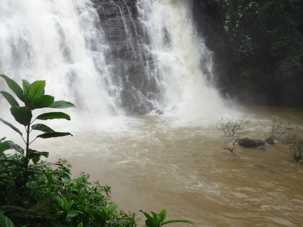
The fall on the Moyar below Theppakadu, about 5 km from Masinagudi as the crow flies. The position is good but not official: the mapped point and a geotagged photograph of the fall taken in September 2022 agree to about three hundred metres, which for a waterfall is as close as a camera position and a cascade are likely to get, and there is no Wikidata record or government listing to check either against. It lies inside the tiger reserve, so it is not a place to go looking for on your own in any case — the Moyar is seen from the safari and from the road bridge at Theppakadu.

heritageKalhatti Ghat Road

278.0 km · 278 min drive

The road that climbs from Masinagudi to the plateau, and the reason getting to Ooty from here is a harder question than the map suggests. It is MDR 700, mapped as the Thalaikundha–Kallatty–Theppakadu road, and it gains about 1,300 metres in sixteen and a half kilometres, which makes it one of the steepest motorable climbs in southern India. Every guide says it has thirty-six hairpin bends; counted off the mapped geometry of the road, bends sharp enough to fold a vehicle back on itself come to about two dozen, and that count holds however the measurement is set up. It is also restricted: OpenStreetMap records it as open only to vehicles on Nilgiris registration because of the accident rate, checkposts stand on it, and every navigation app built on that data — ours included — refuses to route a car up it and sends you 74.8 km round by Gudalur instead of 29.7 km over the hill. Ask at the checkpost on the day rather than trusting a phone.

Roampedia is commission-free — own or know a stay, eatery, guide or shop near Moyar Gorge? List it and it appears here once verified.

Add a nearby business
Before you go

Moyar Gorge — at a glance

TimingsNo public access to the mapped viewpoint.

Entry: Not a ticketed place.

Getting here

How to reach Moyar Gorge

⚠ There is no public way to the viewpoint marked on the map. It stands inside the reserve; one routing engine refuses to reach it at all and the other only does so by forest track, which is not a road to drive. In practice the gorge is seen from the safari or from the Sigur side.

Getting around Moyar Gorge

We have not assessed physical access at this place yet. Across India, step-free routes, handrails and accessible toilets are the exception rather than the rule, and pavements are often interrupted — if step-free access matters to you, contact the site or a local operator before committing to the trip.

If you need help at Moyar Gorge
112All emergencies (police · fire · medical)The single number to call in any emergency (ERSS).

Emergency numbers are verified against official government and state tourism sources. 112 works anywhere in India.

Nearby

What’s near Moyar Gorge

wildlifeMudumalai National Park 10.6 km · 127 min walk
damPykara Lake 11.4 km · ~19 min by cab · straight line
viewpointGlenmorgan 13.6 km · ~23 min by cab · straight line
waterfallKalhatti Falls 16.1 km · ~27 min by cab · straight line
waterfallPykara Falls 16.2 km · ~27 min by cab · straight line
heritageFrog Hill View Point 18.0 km · ~30 min by cab · straight line
damKamaraj Sagar Dam 19.3 km · ~32 min by cab · straight line
heritagePine Forest, Ooty 19.8 km · ~33 min by cab · straight line
heritageTheppakadu Elephant Camp 244.8 km · 250 min drive
waterfallMoyar Falls 246.1 km · 251 min drive
damMaravakandy Dam 253.8 km · 260 min drive
heritageKalhatti Ghat Road 278.0 km · 278 min drive

All 6 places to visit in Masinagudi →

Walking and driving times are real routed distances, except the few marked “straight line”, which are direct-line estimates and will read short. Routing: © openrouteservice.org by HeiGIT | Map data © OpenStreetMap contributors

On the map

Where Moyar Gorge is

Good to know

Moyar Gorge — frequently asked

When is the best time to visit Moyar Gorge?

October to March is the cooler, drier season in the Cauvery delta.

What are the entry fee and timings at Moyar Gorge?

Entry: Not a ticketed place.. Timings: No public access to the mapped viewpoint.

How do I reach Moyar Gorge?

Base yourself in Masinagudi or nearby in The Nilgiris, then confirm the last-mile route locally before travel. If access depends on temple, museum or seasonal rules, check on the day before you go.

How much time do I need for Moyar Gorge?

About an hour.

What else is near Moyar Gorge?

Nearby you can pair Mudumalai National Park (10.6 km), Pykara Lake (11.4 km), Glenmorgan (13.6 km), Kalhatti Falls (16.1 km).

Read before you go

Moyar Gorge guides, stories & itineraries

We have not published a story about Moyar Gorge itself yet. These cover Masinagudi, the town it sits in, and the wider district.

Around Masinagudi

Moyar Gorge sits in Masinagudi, so these cover the streets, buildings and surroundings around it.

Tamil Nadu-wide guides & itineraries

Route-level itineraries and practical guides for the rest of Tamil Nadu.

See all 11 The Nilgiris guides & stories →

Image credits