What to expect
Highlights
- View the waterbody only from a stable lawful approach.
- Read the surrounding working landscape.
- Observe birds quietly without promising sightings.
- Check water and weather conditions before setting out.
Chandrampalli Dam is a dam across the Mullamari beside the entry landscape of Chincholi Wildlife Sanctuary.
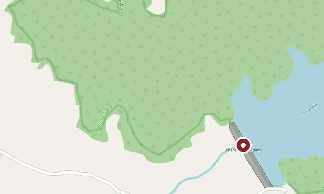
OpenStreetMap view centred on Chandrampalli Dam; the marker identifies the mapped subject, not a guaranteed public entrance.
The reservoir and forest edge are linked physically, while dam access and sanctuary access remain separate systems. Confirm both before a combined visit.
Forest-guided activity and local use of the reservoir are current practice. Wildlife watching is quiet observation, never a promised sighting or licence to leave the route.
Chandrampalli Dam is a dam across the Mullamari beside the entry landscape of Chincholi Wildlife Sanctuary.
Chandrampalli Dam is a dam across the Mullamari beside the entry landscape of Chincholi Wildlife Sanctuary.
The reservoir and forest edge are linked physically, while dam access and sanctuary access remain separate systems. Confirm both before a combined visit.
Forest-guided activity and local use of the reservoir are current practice. Wildlife watching is quiet observation, never a promised sighting or licence to leave the route.
The useful way to read Chandrampalli Dam is to slow down and keep the named subject separate from neighbouring monuments, institutions and landscapes. Current signs and staff directions settle what is open; the map centre is orientation, not an invented entrance.
Forest-guided activity and local use of the reservoir are current practice. Wildlife watching is quiet observation, never a promised sighting or licence to leave the route.
The reservoir and forest edge are linked physically, while dam access and sanctuary access remain separate systems. Confirm both before a combined visit.
The documented record places Chandrampalli Dam within Kalaburagi district. Claims beyond the cited government, institutional and mapped evidence are deliberately avoided.
View the waterbody only from a stable lawful approach.
Read the surrounding working landscape.
Observe birds quietly without promising sightings.
Check water and weather conditions before setting out.
October to February, early morning or late afternoon; reassess after heavy rain.
Live forecast loads in your browser.
Sunset is in about 46 minutes.
Sun and moon are calculated for this location and shown in IST. Photography windows are the hour around sunrise and sunset; the sunset bearing is degrees clockwise from true north. Moon phase is accurate to about half a day.
Browse local stays, food, activities and useful shops. Confirm current service directly; rural options identify their own locality.
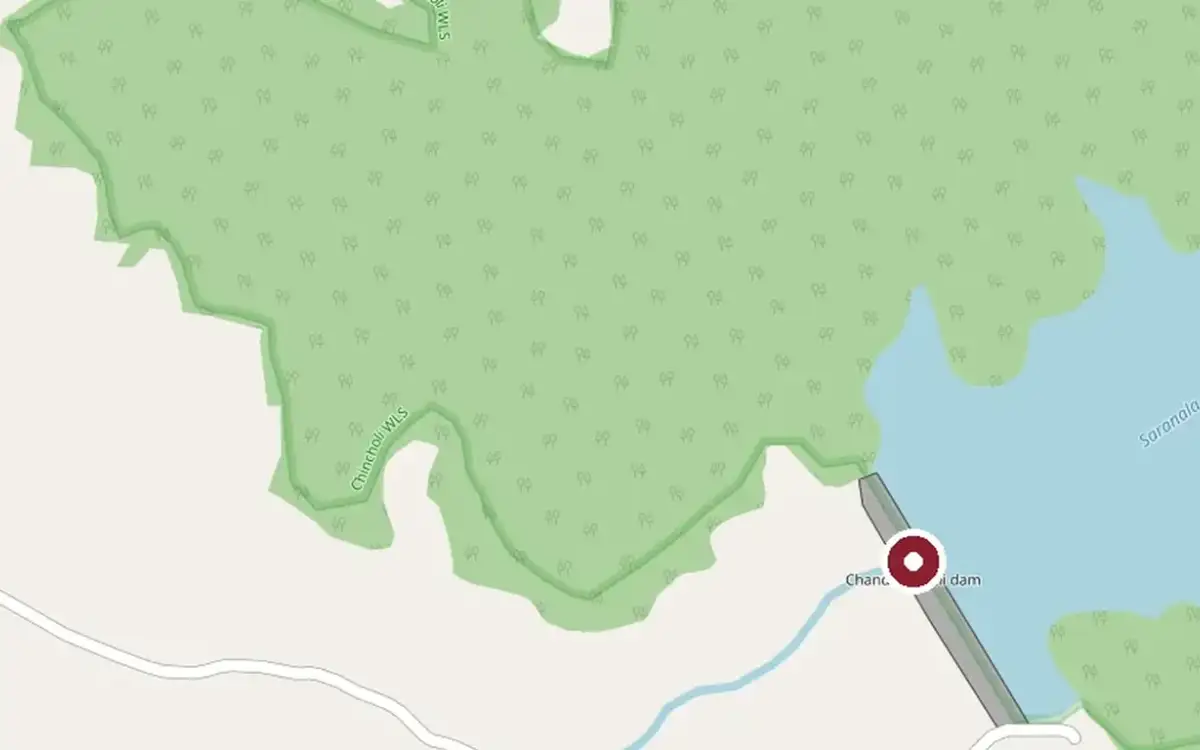
Chandrampalli reservoir meets the Gottam Gutta forest landscape. Confirm dam access and sanctuary permissions separately and avoid water entry.
Chandrampalli Reservoir is a waterfront in the Chincholi area. Confirm the public approach, current access and available facilities locally before relying on it.
Gottamgutti Bakkaprabhu Temple is a place of worship in the Chincholi area. Confirm the public approach, current access and available facilities locally before relying on it.
Bakkamprabughatta Ghotta Botanical Park is a park in the Chincholi area. Confirm the public approach, current access and available facilities locally before relying on it.
Limra Hotel is a hotel in the Chincholi area. Confirm the public approach, current access and available facilities locally before relying on it.
Book with the place itself. India’s cyber-crime coordination centre warned in April 2025 that convincing copies of hotel and pilgrimage booking sites are being pushed through sponsored search and social ads, taking payment for rooms the property never hears about. Every listing here links to the business’s own contact details and its own Google or Bing profile — we take no commission and sit in nobody’s payment path. If a booking page reached you through an ad, check the address bar against the property’s own site before you pay. Fraud can be reported on cybercrime.gov.in or on 1930.
Choose a local circuit or a separate road outing. Check worship, market and forest access independently; these places do not share one admission or timetable.
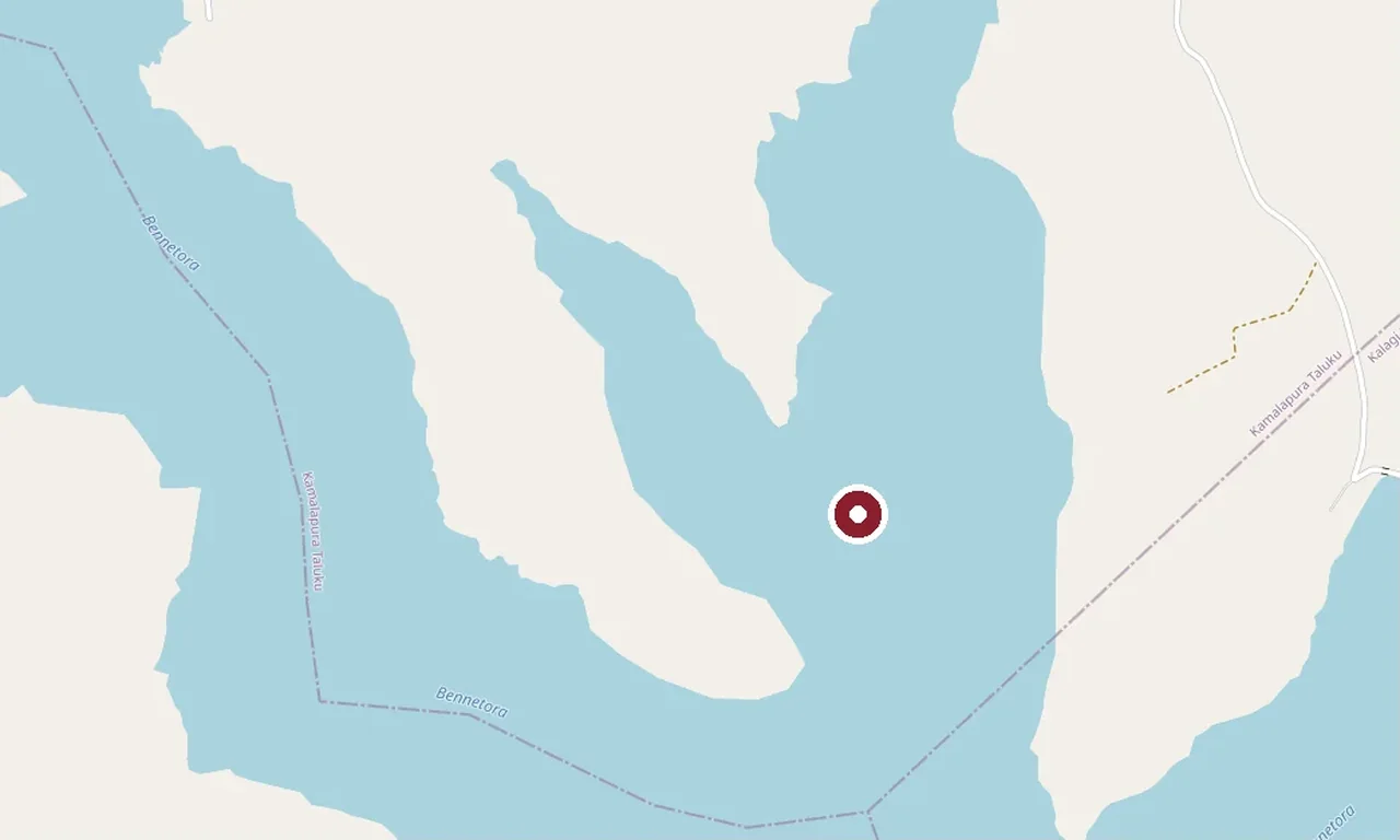
OpenStreetMap view centred on Bennethora Dam.
reservoirBennethora DamA separate working irrigation reservoir in the Chittapur belt.
Sannati’s temple and archaeological landscape.
temple and archaeological landscapeSannati and Chandralamba TempleLiving worship and Ashokan archaeology meet at a separate Bhima-side destination.
Firozabad’s Bahmani ruin landscape.
Bahmani ruinsFirozabad RuinsA dispersed Bahmani city site requiring daylight, local directions and retained transport.
Langar Ki Masjid in the Bahmani capital.
Bahmani mosqueLangar Ki MasjidA separate protected mosque in Kalaburagi city with worship and monument etiquette.
Roampedia is commission-free — own or know a stay, eatery, guide or shop near Chandrampalli Dam? List it and it appears here once verified.
Add a nearby businessEntry: No verified current public tariff is published; use only official on-site or authority information.
Photography: Photograph only from open public positions; do not cross barriers or disturb people or wildlife.
Parking: Use only a signed or locally directed space that does not block homes, gates, buses or emergency access.
Walk only on stable public ground set back from the water and operational structures.
Online taxis: App-taxi pickup is not dependable at Chandrampalli Dam. Arrange a return vehicle or confirm a local driver before arrival.
If you are travelling by bus or ferry, check the return service with the operator before setting out. Leave time to reach the stop or jetty after your visit.
Ask at the jetty or stand for the time of the last service back, not the next one. If you miss it, an auto or app cab is the fallback — agree the fare before you get in.
Checked 6 September 2026 against source 1source 2. Conditions change and surfaces vary with weather — if step-free access is essential, confirm with the site before you travel.
For toilets, drinking water or a cash machine, ask at the site or a nearby business. No local service locations are available on this page.
Emergency numbers are verified against official government and state tourism sources. 112 works anywhere in India.
Use chincholi for dependable meals and drinking water; do not assume the destination itself has refreshments.
Explore food in Chincholi →Eat before the last-mile journey and carry sealed drinking water.
Plan lunch in the town centre after the visit rather than carrying food into protected, sacred or waterside ground.
Local stops come first, followed by separate district outings. Check each place’s own access and return journey; this is a choice of visits, not a single walking circuit.

A changeable hawk-eagle on a dead tree in the dry deciduous forest at Chincholi. Photographed by Hari K Patibanda in August 2020.
wildlifeChincholi Wildlife SanctuarySouth India’s first dry-land wildlife sanctuary, notified in 2011 over 134.88 sq km of the district’s eastern taluk — dry and moist deciduous forest with sandalwood and red sanders, where camera traps rediscovered the dhole in 2023, the first record of the species in this region since 1966.

Malkhed (Manyakheta)
heritageMalkhed (Manyakheta)The village of Malkhed on the Kagina river — ancient Manyakheta, imperial capital of the Rashtrakutas from the 9th to 10th centuries — with a ruined fort of bastioned walls and a celebrated Jain math whose lineage goes back over a thousand years.
OpenStreetMap view centred on Bennethora Dam; the marker identifies the mapped subject, not a guaranteed public entrance.
damBennethora DamAn irrigation dam and reservoir on the Bennethora river in the Chittapur belt, its long bund and open water a quiet stop in the district’s dry countryside.
Nearby toilets, pharmacies, ATMs, seating and vets are community-mapped and may be incomplete or out of date. Map data © OpenStreetMap contributors | Walking times © openrouteservice.org by HeiGIT
The locator identifies the temple precinct. Use the currently open worship entrance and follow any procession diversions.
Chandrampalli Dam is a dam across the Mullamari beside the entry landscape of Chincholi Wildlife Sanctuary.
The reservoir and forest edge are linked physically, while dam access and sanctuary access remain separate systems. Confirm both before a combined visit.
Approach through chincholi using the exact mapped feature and confirm the final public entrance locally.
Opening arrangements depend on the place: worship sessions, museum days and controlled forest or dam access are different. Use the linked official source or a posted local notice, and plan rural visits in daylight.
No current fee is guessed here. Pay only an officially displayed or receipted charge.
A distant stable viewpoint may be possible, but banks and informal paths are not step-free. Confirm parking and gradients locally.
October to February, early morning or late afternoon; reassess after heavy rain.
Entry: No verified current public tariff is published; use only official on-site or authority information. Timings: There is no single timetable for this group. Follow the linked official source or posted notice for worship, institutional, museum, forest or dam access, and keep rural visits to useful daylight.
Allow 1–2 unhurried hours, excluding the road journey.
Nearby you can pair Chincholi Wildlife Sanctuary, Malkhed (Manyakheta), Bennethora Dam.
Do not swim, wade, boat or descend operational banks unless a current authorised service and staff explicitly permit it. Keep away from gates, spillways, soft edges and isolated shore tracks; supervise children continuously.
Local stories and practical reading for a visit to Chandrampalli Dam and its surroundings.
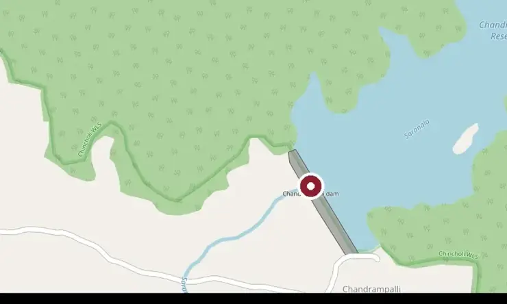
OpenStreetMap context centred on Chandrampalli Dam; this planning image does not assert a gate or public path.
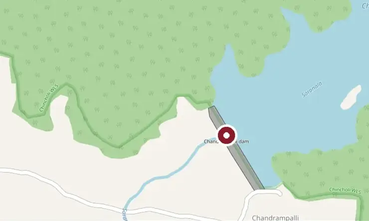
OpenStreetMap context centred on Chandrampalli Dam; this planning image does not assert a gate or public path.
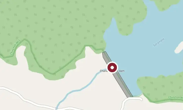
OpenStreetMap context centred on Chandrampalli Dam; this planning image does not assert a gate or public path.
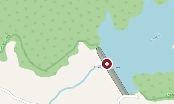
OpenStreetMap context centred on Chandrampalli Dam; this planning image does not assert a gate or public path.
Photographs: © OpenStreetMap contributors, ODbL (ODbL), Ghulam Yazdani (Public domain), Hari K Patibanda, CC BY 2.0, via Wikimedia Commons (CC BY 2.0), SUPADHYAY, CC BY-SA 4.0, via Wikimedia Commons (CC BY-SA 4.0). Wikimedia Commons.