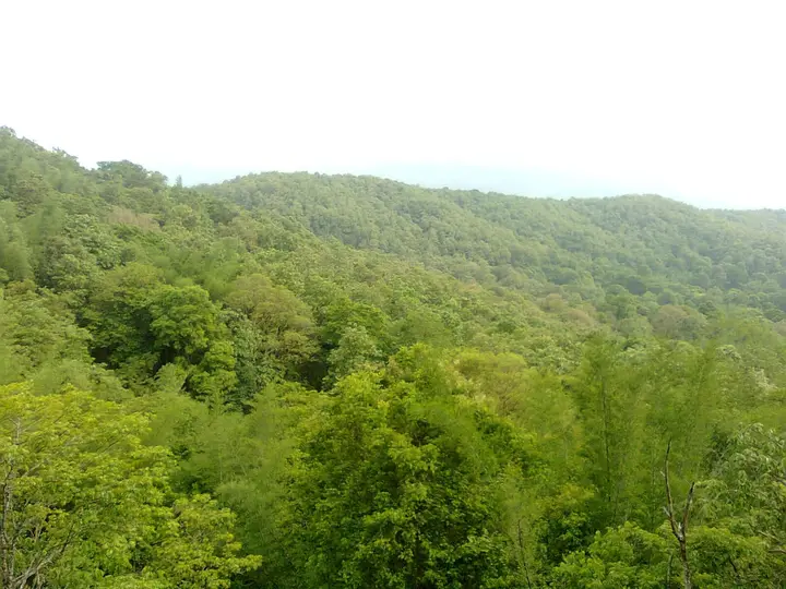
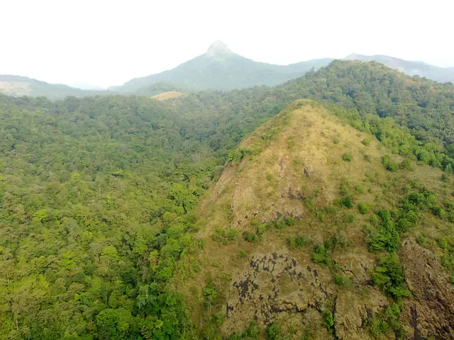
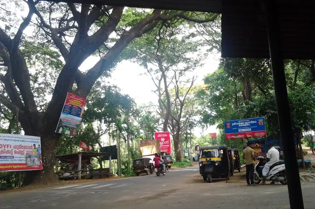
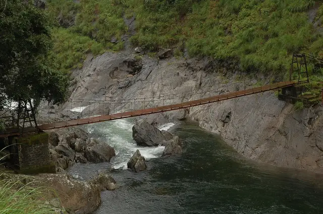
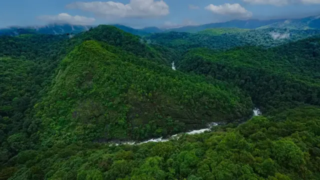
Mukkali is a road junction with a forest check-post, and it is the only way into Silent Valley. Twenty-four kilometres up the ghat from Mannarkkad on the road to Agali, Anakkatti and Coimbatore, it holds the Silent Valley National Park office, the information centre, the ticket counter and the Forest Department jeeps — beyond it private vehicles stop. The 23 km forest road to the Sairandhri watchtower begins here, and so does Attappady, the tribal taluk of the Irula, Muduga and Kurumba. Mukkali also stands on a watershed: the Kunthipuzha runs west off these hills to the Bharathapuzha and the Arabian Sea, the Bhavani turns east through Attappady to the Kaveri and the Bay of Bengal. Two oceans, one junction, and a barrier gate that decides your day.
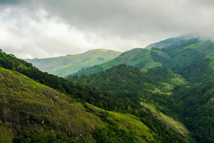
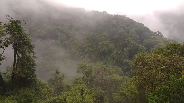
The road matters more here than it usually does. From Mannarkkad the Attappady ghat climbs in a series of hairpins that begin at Anamooli, about seven kilometres out of town, and by the time the bends stop you have left the Palakkad plain behind entirely. This is State highway country, not forest track — it carries buses to Agali, Anakkatti and on into Tamil Nadu — but it runs along the southern edge of the Silent Valley block, and mist sits in the cuttings for most of the monsoon. Mukkali is a junction on that road, not a detour off it, which is why the check-post works the way it does: everyone driving to Attappady passes the gate, and only the people with a ticket turn left into the forest.
Kerala Tourism puts Mukkali at 60 km by road from Palakkad via Mannarkkad, 69 km from Palakkad railway station and 91 km from Coimbatore airport. Our own logistics record has long said “about 40 km from Palakkad town,” and that is too short — Mannarkkad alone is roughly 36 km out, with Mukkali a further 24. Budget the drive properly, because the gate opens and shuts on a schedule and there is nothing to be done about arriving late.
The park office at Mukkali (Mukkali P.O., Mannarkkad, Palakkad 678582) is the working centre of the place: information centre, ticket counter, eco-shop, guides and the jeeps themselves, which belong to the Silent Valley Forest Development Agency rather than to any private operator. Kerala Tourism publishes the Sairandhri package as a 07:30–13:00 slot with a safari charge of ₹400 per head and the vehicle hired separately — ₹2,000 for a five-seater jeep, ₹6,000 for a fifteen-seater bus, ₹10,000 for a twenty-five-seater. The department asks for advance booking, and daily numbers are capped. Rates and slots are revised; treat every figure here as indicative and confirm at the counter.
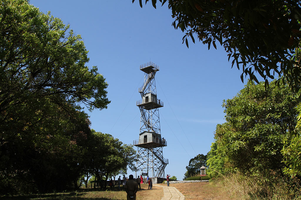
The ride itself is 23 km each way. The park’s own account calls it a two-hour jeep ride from Mukkali; Kerala Tourism budgets five hours for the whole package, which is the honest number once you add the stop at Sairandhri and the return. There is no accommodation inside, no food, and — a rule the department states plainly — no bathing in the river. Carry water, and carry your rubbish out.
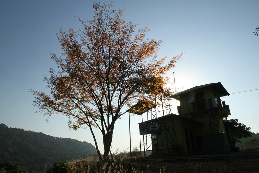
Mukkali is also the trailhead for the programmes that most visitors never hear about, all of them in the buffer forest rather than the core. Bommiyampadi, about 13 km off Mukkali, is a forest-front cottage stay that includes a guided forest trip, a visit to the Attappady tribal area and the Sairandhri package the next morning; the department lists cottages named Annapoorna, Vasudha and Vasundhara at ₹6,000 for two, and Dhathri at ₹14,000 for five. Keerippara is a two-day trek-and-camp through the buffer’s mixed forest types, capped at five people to a group with a guide, roughly four hours of walking, ₹8,500 for five. There is also a two- or three-day nature camp for fifteen to twenty participants at ₹2,000 or ₹2,500 a head. These are the programmes that actually put you in the forest on foot.
Step outside the park gate and you are in Attappady, which is a different subject altogether. The taluk — Agali, Sholayur and Pudur panchayats, with its headquarters at Agali 38 km on from Mannarkkad — is the largest tribal region in Kerala, home to the Irula, the Muduga and the Kurumba. It is also, in Malayalam usage, everything between Mukkali and Agali. Coimbatore is closer to Attappady than Palakkad is: about 47 km to the railway station against 70-odd to Palakkad, which is why the valley’s trade, hospitals and buses have always leaned east across the state line at Anakkatti.
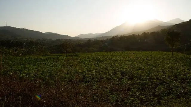
The farming is distinctive enough to have been registered. Attappady Thuvara, a red gram with unusually large, heavy seeds, and Attappady Attukombu Avara, a dolichos bean curved like a goat’s horn and high in anthocyanin, were both registered as Geographical Indications in 2022. The Attappady Black is a local goat — black-coated, copper-eyed, long-legged and hardy — found on the hill settlements and now scarce. Ragi, tur, banana, pepper and coffee fill the fields between the ghat and Agali.
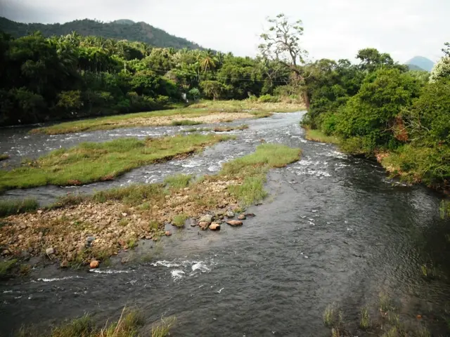
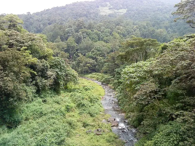
The two rivers are the reason all of this sits where it does. The Kunthipuzha rises on Anginda, the 2,328 m peak at the head of the park, and drains the whole 15 km length of Silent Valley from north to south before dropping into the Palakkad plain and running through Kottopadam, Mannarkkad and Kumaramputhur; it takes the name Thoothapuzha near the Malappuram border and joins the Bharathapuzha at Kariyannur. Over one 12 km stretch inside the park it falls from about 1,861 m to 900 m. The Bhavani does the opposite: it loops west toward Silent Valley, turns at Attappady and runs east for 234 km to meet the Kaveri at Kooduthurai, gathering the Siruvani on the way. Rain that falls a few hundred metres apart above Mukkali reaches different seas.
What Mukkali is not is a resort town. There is a bus stand, a scatter of shops and tea places, forest quarters and a few homestays; Mannarkkad and Agali carry the real accommodation. That thinness is deliberate — this is a working forest headquarters at the mouth of a national park, and the absence of development around the gate is part of what the campaigners of the 1970s and 80s were arguing for.
Legend & myth
Silent Valley’s famous legend arrived from downhill. The valley’s Malayalam name, Sairandhrivanam, and the Kunthipuzha’s link to Kunti belong to the Mahabharata, and our record for the national park tells that story where it belongs. It is a genuine Malayalam tradition and not a tourist-board invention — ml.wikipedia’s article on the Kunthipuzha records it plainly, with the Pandavas and Draupadi sheltering in a cave by the river — but it is a lowland, Sanskritic reading of a high forest. It is not what people at the gate actually practise. The living religion around Mukkali is Irula, Muduga and Kurumba, and it has a mountain, a night, a dance and a song of its own.
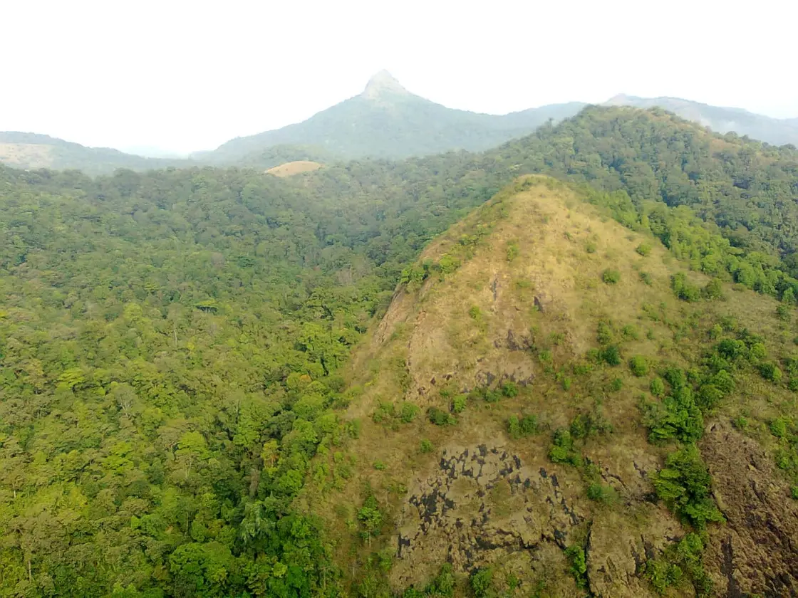
The mountain is Malleeswaran Mudi, the highest peak of the Attappadi forest at 1,664 m, standing in the Agali Hills east of Mukkali. It is not a peak with a temple on it in the ordinary sense. The rock itself is the deity: the summit is read as a Shiva lingam and worshipped as such, so that the object of devotion is a landform, permanently visible from the valley floor and never enclosed. Seen from Chemmannur it rises as a grey pyramid of bare rock above a shoulder of green — you can look at the god from the road, which is a very different arrangement from a sanctum you queue to enter.
The night is Sivarathri, in February or March. Both the Malayalam Wikipedia article on Attappadi and its article on the Muduga record the same practice: tribal priests climb to Malleeswaran Mudi and light the lamp on the peak after dark, and perform the pujas there. A lamp lit on a mountaintop for a mountain that is itself the god is about as economical as ritual gets. The Muduga, whose name is said to come from mudugu, the back — from the way Muduga women carried small children slung behind them — number only around three thousand five hundred, are closely connected to the Uralikkuruma of Wayanad, and are described as worshipping animals and trees as well as making the Sivarathri climb.
The dance is Elelakkaradi, also called Karadiyattam — the bear dance of the Irula of Attappady, thought to be more than five hundred years old, and performed at the Malleeswaran temple on Sivarathri night. Ten to thirteen people dance it, women and men alternating in a ring around a fire, singing “elele… karadi, elele…” There are no costumes at all. The only instrument is the tribal chenda, sometimes joined by a small wooden pipe and a thakil. Its subject is a bear coming to the settlement and being confronted, fought and killed, staged in phases, with shouts and challenges cut into the rhythm — which tells you what a bear meant to a household living at the forest edge. It is danced for the favour of the god and for the peace of the dead, and old Malayalam accounts still name its past masters: Kavundikkal Binnan Kelu Moopan, Mutti Moopan, and the naattumoopan of Kadampara ooru.
The song is quieter and, to a visitor, stranger. “Manne nambilelayya” is an Irula folk song of Attappady, and it is built as a chain of trust: the tree stands trusting the soil, the soil trusting the tree, the branch trusting the tree, the leaf the branch, the flower the leaf, the fruit the flower, the ripe fruit the green, ourselves the fruit — and the land, at the end, trusting us. It is a cosmology of mutual dependence delivered in nine lines, and it says more about how this forest was understood by the people living in it than any amount of ecological writing. The Irula also keep their ritual offices: a moopan at the head of the clan, with a bhandari and a kuruthala under him, and a priest called the mannukkaran, the man of the soil. Nature worship, the Malayalam sources note without embarrassment, has not died out.
One temptation has to be refused here. The Malayalam word mukkali means a three-legged stool, and Wikimedia Commons’ only photograph filed as “Mukkali” turns out to be exactly that — a carved sixteenth-century stone pooja seat in a museum case, hundreds of kilometres from Palakkad. It would be easy to build a story out of the coincidence, and there is a second, equally tempting reading in which the name is simply a three-way junction. We could source neither. The word’s meaning is certain; what it is doing on this particular junction, we could not establish, and we searched the Malayalam — ml.wikipedia has no article on മുക്കാലി at all, and a search on ക്ഷേത്രം, ഐതിഹ്യം and സർപ്പക്കാവ് against the place name returns nothing. An honest blank is better than an invented derivation.
The river’s name is disputed in the same friendly way. Alongside the Kunti legend, the Malayalam Wikipedia article on the Kunthipuzha offers a second derivation: that Kunthipuzha is a contraction of Kunthirikkappuzha, from kunthirikkam — frankincense, the fragrant resin of Boswellia serrata, whose trees grow thickly along both banks. The two explanations sit side by side in the same article and neither is settled. We print both rather than choosing, because the choice would be ours and not the evidence’s.
More about Silent Valley and Mukkali
History
The forest was surveyed long before it was protected. The watersheds of the Silent Valley area were first explored and investigated as early as 1847, and in 1857 the English name enters the record. The Malayalam Wikipedia account credits the botanist Robert Wight with coining it that year, struck by the absence of cicada song — but Wight had retired to England in 1853, so the attribution should be treated as tradition rather than fact. Our place record already handles the cicada story with the caution it deserves.
Administratively the valley moved twice. Silent Valley’s forests were declared Reserved Forest in 1914. Until 1921 they sat in the South Malabar Forest Division with its headquarters at Nilambur; in 1921 they passed to the Palakkad Forest Division, which managed them until a separate Silent Valley Division was created in 1988. Parts of the area were worked commercially between 1927 and 1976 — the untouched forest is the core, not the whole block.
The hydro-electric proposal that made the valley famous is told on our national park page and is not repeated here, but two figures from the official park history are worth putting on the record because they are usually left out: the site at Sairandhri on the Kunthipuzha was identified for power generation in 1928-29, and after inventories in 1958 the Kerala State Electricity Board proposed a 120 MW scheme costing ₹17 crore. Kerala passed the Silent Valley Protection Area (Protection of Ecological Balance) Act in 1979, and in December 1980 the state declared the Silent Valley area a National Park while excluding the project area — a partial protection that only became complete once the dam was abandoned.
The buffer is the part of the story that outlived the campaign. Kerala’s cabinet approved a buffer-zone proposal on 6 June 2007, the zone was declared that month, and on 23 September 2007 Chief Minister V. S. Achuthanandan formally dedicated it. The figures vary slightly by source and we print them as we found them: en.wikipedia gives 147.22 km², made up of 80.75 km² from the Attappady Forest Range, 27.09 km² from the Mannarkkad Range and 39.38 km² from the Kalikavu Range; the park’s own summary and most Kerala reporting round this to 148 km², described as 109 km² carved from the Mannarkkad Division and 39 km² from Nilambur South. The two accounts agree once you notice that Attappady and Mannarkkad ranges both sit inside the Mannarkkad Division. Added to the 89.52 km² core, that is the 237.52 km² total Kerala Tourism now publishes.
The ring has kept growing, though not always to plan. Karimpuzha, on the Nilambur side, was notified as a wildlife sanctuary of 227.97 km² — the Kerala Forest Department’s list gives 2019, en.wikipedia says 2020 — and it links Silent Valley to Mukurthi National Park across the Tamil Nadu border while bordering the Silent Valley buffer to the north-east. The proposal to convert the 148 km² buffer itself into a Bhavani Wildlife Sanctuary, recommended by the State Board for Wildlife in 2020 and reported as Kerala’s coming twenty-fifth protected area, has not been completed: the Forest Department’s own list of eighteen sanctuaries, checked in August 2026, contains no Bhavani. Treat it as pending, not as done.
Mukkali’s own recent history is not entirely quiet. In December 2014 the ticket counter at Mukkali was attacked by a Maoist group — the incident is recorded on the national park’s Wikipedia article — a reminder that this is a remote forest frontier as well as a tourist gate. Attappady’s harder modern history belongs to the settlements rather than the road: heavy in-migration from the mid-twentieth century turned the Irula, Muduga and Kurumba into a minority in their own taluk, and in 2012-13 the deaths of 36 infants within a year forced a state-level reckoning with nutrition and health provision in the valley.
Why visit
It is the only legal way into Silent Valley, and the whole apparatus — check-post, counter, guides, department jeeps — is right here at one junction.
The 23 km forest road to the Sairandhri watchtower starts at the barrier, an hour or so each way through forest that private vehicles never see.
The Mannarkkad-Attappady ghat road up to Mukkali is a drive worth taking on its own, hairpin after hairpin from Anamooli into hill mist.
Bommiyampadi, Keerippara and the nature camp put you into the buffer forest on foot and overnight, which the day trip to Sairandhri does not.
Attappady beyond the gate is Kerala’s largest tribal region, with its own crops, its own goat breed and its own mountain god on Malleeswaran Mudi.
Stand at Mukkali and you are on a divide: the Kunthipuzha goes west to the Arabian Sea, the Bhavani east to the Bay of Bengal.