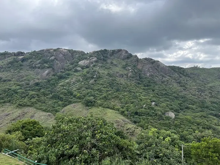
Kurisumala

Kurisumala is a bare rock dome above Vagamon with a parish church on top of it, reached by a walk of about 1,200 metres — the figure on the site’s own signboard, and within six per cent of both the mapped footway and a routed walk. Fourteen crosses, the Stations of the Cross, line the way up, and in Holy Week people climb it carrying wooden crosses. Entry is free and the District Tourism Promotion Council publishes hours of 04:00 to 20:30, which are the hours of a working pilgrimage rather than a viewpoint.

Kurisumala, Vagamon
Practical guide

Plan Kurisumala

Who's going?Tailor Kurisumala to your trip
Before you go to Kurisumala

Check entry arrangements. Ask the church about visiting times around services and any dress or photography rules. During worship, keep voices low and follow staff directions.

Dress code
No dress code is published for the hill, but modest cover — shoulders and knees — is what is worn and expected, at the summit church especially. Footwear matters more here than anywhere: the top section is bare rock and slippery in mist.
Footwear, bags & phones
Worn for the climb, obviously. Follow local practice at the door of the summit church and remove them if others are doing so.
Darshan & ritual times
The District Tourism Promotion Council publishes 04:00 to 20:30 daily for the hill, which is far longer than a typical visitor site and reflects pilgrims climbing before first light. Regular masses and prayers are held. At the monastery, which is a separate place, the community’s own timetable begins with the night vigil at 03:45, with the Bharatiya Pooja at 06:00 on weekdays and the Syro-Malankara Qurbana on Sundays; its church is open around the clock.
Busiest season
Good Friday and Holy Week, overwhelmingly. Devotees climb carrying wooden crosses and the site’s own signboard photographs show the dome covered end to end with people. Parking at the foot, not the path, is the practical constraint on those days.
  • Kurisumala Ashram is not at the top of this hill. It is a working Cistercian monastic enclosure 818 m north and about 145 m lower, on its own road from Vazhikkadavu bus stop, and it is not reached by the pilgrim climb.
  • The monastery receives guests — it keeps separate accommodation for men and women and hermitages for those wanting solitude — but those who stay are expected to share in the household work the community calls Ashram seva, and to fit around the monastic day. Arrange in advance; do not arrive unannounced expecting a tour.
  • The monastery’s own web domain now serves a blank parked page rather than its site, so there is no live official address we can point you to. Its published postal address is Vagamon P.O. 685 503, Kottayam Dt.

Checked 26 August 2026 against source 1source 2source 3. Check the institution’s current rules and visiting session before travelling.

Typechurch
AreaVagamon
DistrictIdukki
Best timeSeptember to May for a clear summit
Time needed1.5 to 2.5 hours for the hill
EntryFree
Places to visit6Listed businesses27

It is also the name of a Cistercian monastery founded on 21 March 1958 — and that is a different place: 818 metres north of the summit church, about 145 metres lower, on its own road from Vazhikkadavu, and under an abbot rather than the summit’s vicar. Almost everything written about Kurisumala runs the two together, including our own earlier page. This one keeps them apart, because arriving at the wrong one is the commonest mistake made here.

The story

One name, two places, and almost everything written about Kurisumala runs them together. There is a bare rock dome you climb on foot past fourteen crosses to a parish church at the top — and there is a Cistercian monastery founded in 1958, eight hundred metres away, lower down, on a different road, run by different people. This page keeps them apart, because turning up at the wrong one is the commonest mistake made here.

The story of Kurisumala

Begin at the bottom, where a signboard settles the only question most people actually have. It stands on the open ground where the cars stop, it is headed വാഗമൺ കുരിശുമല / VAGAMON KURISUMALA, and along its foot it reads, in Malayalam and English: മലമുകളിലേയ്ക്കുള്ള ദൂരം – 1200 മീറ്റർ. DISTANCE TO KURISUMALA TOP - 1200 Mtr. That is the walk. Measured independently against the mapped footway, which is named “Kurishumala Way of the Cross” and runs from beside the car park to the church door, it comes out at 1,133 metres; routed as a walk it comes out at 1,160 metres and about fourteen minutes of moving time. Three figures, arrived at three ways, inside six per cent of each other. Call it a kilometre and a fifth, and add time for stopping, because stopping is the point.

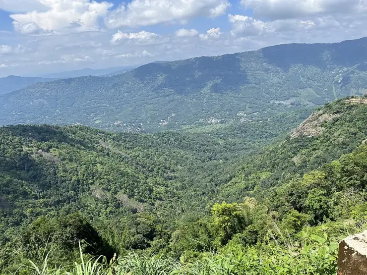
The climb itself is about a hundred and fifty metres of ascent — the car park sits at roughly 1,020 to 1,035 metres and the summit at 1,172 to 1,187, depending on which elevation model you ask, and two independent ones agree closely. That is a gentle number on paper and a steeper thing underfoot, because the last stretch is bare rock. The photographs on the signboard show what the hill looks like when it is full: a dense white river of people, thousands of them, moving up the dome towards the cross on the crest. Fourteen stations line the way, and in Holy Week people carry wooden crosses up them. The rest of the year it is a quiet walk with a very large view.

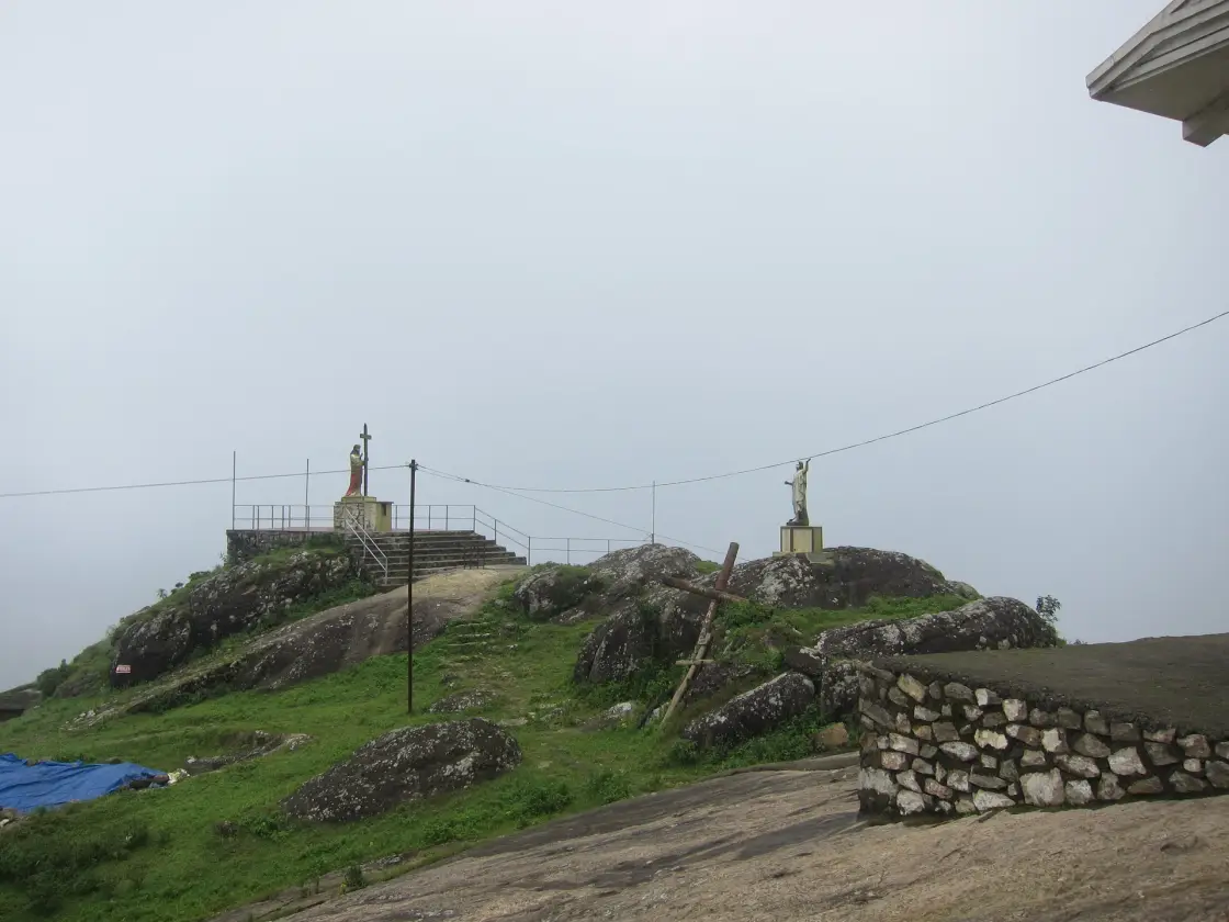
At the top there are three things. There is the church — St Thomas Church, Kurisumala, according to the board on its own gable, a plain building with a painted crucifixion behind the altar, a wooden canopy, and stacking chairs. There is a summit cross with a life-size corpus and figures of Mary and John standing on the rock beside it, which in cloud is the image everyone comes away with. And there is a low flat-roofed building whose sign, in both languages, marks it as the Kurisumala office and says that mass stipends and other donations are accepted there, with a phone number for the vicar and another for the assistant vicar. That last detail is the one that tells you who runs this hill: a vicar and an assistant vicar. A parish.

Now the other place. Kurisumala Ashram — formally the Monastery of Our Lady of Kurisumala, Vagamon — is 818 metres north of the summit church and about a hundred and forty-five metres below it. It is not on the pilgrim path and you do not reach it by climbing. Its own directions, published by the monks, send you to Vazhikkadavu bus stop on the Erattupetta–Peermade road and then up its own road: “The Ashram is located 1.5 Km. from Vazhikkadavu Bus Stop. It is about a 20-minute uphill walk from the bus stop to the Ashram,” with the suggestion that anyone who would rather not walk should stay on the bus to Vagamon and take a taxi. The District Tourism Promotion Council, describing the pilgrim hill, puts it plainly the same way: the monastery is at the foothills. Two destinations, two approaches, two sets of people in charge — and one name doing the work of both.

The monastery is a working enclosure, not an attraction, and its day starts at 03:45 with the night vigil. Its own timetable runs Lectio Divina at five, the Bharatiya Pooja at six — the Syro-Malankara Qurbana instead on Sundays — two spells of what it calls Bread Labour, evening prayer at half past six, satsang at eight and compline at half past. Guests are received; the tradition it belongs to treats hospitality as an obligation, and it keeps buildings for male and female guests and hermitages for people who want more solitude. Those who stay are expected to join in — “Ashram seva,” household chores, vegetable-cutting. The church is open round the clock. None of that is a tour, and it is worth understanding before you arrive expecting one.

One more thing to get straight, because two official bodies disagree about it. Kerala Tourism publishes Kurisumala as a Kottayam destination; the District Tourism Promotion Council of Idukki publishes it as one of its own. Tested against the mapped district boundary, the hill, the church, the office, the car park and the monastery are all in Kottayam district, in Meenachil taluk — and so says the monastery’s own letterhead, which gives its address as Vagamon P.O. 685 503, Kottayam Dt. Vagamon town, two kilometres east, is in Idukki. The border runs between the town and the hill. Both bodies are describing something real; the postal address is on the Kottayam side and the tourism circuit is on the Idukki one.

Legend & myth

The name is the plainest in Kerala and the most confusing. Kurisumala is kurisu, cross, and mala, hill: the hill of the cross. It is a description rather than a title, which is why there are several of them, and why searching for the name alone will hand you the wrong mountain. Malayalam Wikipedia’s article headed കുരിശുമല is not about this place at all — it describes തെക്കൻ കുരിശുമല, the southern Kurisumala, the official pilgrimage centre of the Latin diocese of Neyyattinkara, on a hill near Vellarada in Thiruvananthapuram district, more than two hundred kilometres south. A third, ഏലപ്പീടിക കുരിശുമല, stands near Peravoor in Kannur district under the diocese of Mananthavady, eight kilometres from Peravoor. Three hills of the cross, three dioceses, three different corners of the state. Figures quoted for one of them — an altitude, a pilgrimage date, a diocese — travel very easily onto the others.

The District Tourism Promotion Council records an older name for this hill: Kondaketty Mala, which it says the place was called before the cross gave it the one it has now. We have found that name published by no other body, and we print it as DTPC’s, not as settled.

The dedication is to St Thomas, the apostle whom Kerala’s Christians hold to have come to the Malabar coast, and the summit is captioned on Wikimedia Commons — in Malayalam, by the photographer who made the fullest record of it — as സെന്റ് തോമസ് മൗണ്ട്, St Thomas Mount. The board on the church at the foot of the hill says the same in English: ST. THOMAS CHURCH, KURISUMALA. English-language travel writing about this place almost never mentions the dedication, and several sites hand it to the wrong rite altogether by borrowing the monastery’s Syro-Malankara identity for the parish on the summit.

Read the full history of Kurisumala 433 more words

History

March 21, 1958 — Kurisumala Ashram is established near Vagamon. Its founder is Fr Francis Acharya, born John Mahieu in Belgium on 17 January 1912, the fifth son of a farmer, who by his own community’s account was turned towards India by hearing Gandhi speak while a student in London. He entered the Trappist monastery of Our Lady of Scourmont at Chimay, served as its novice-master, and sailed for India in 1955. With him at the founding is Fr Bede Griffiths, the English Benedictine, born 17 December 1906. They come at the invitation of Zacharias Mar Athanasios, Bishop of the Syro-Malankara diocese of Tiruvalla, who had signed the constitution establishing a contemplative monastery sui iuris in the Syro-Malankara Catholic Church on 3 November 1957. Everything in this paragraph is the monastery’s own published account of itself.

November 1956 — before Kurisumala there is Pushpagiri. The two monks first gather a small community at Tiruvalla under the same bishop, more than a year before the move to the mountain. This step is left out of nearly every description of the founding.

September 14, 1958 — the ashram church is consecrated and the first three novices are clothed in the monastic habit. The community grows to fifteen within three years. The monks terrace the slope, build stone barriers against erosion, plant, and raise a herd of cattle from scratch; the dairy becomes the thing that pays for the monastery and, in its own words, buys milk at a good price from almost a hundred families settled nearby, some of them on land the community gave them.

August 28, 1968 — Bede Griffiths leaves Kurisumala to take charge of Shantivanam in Tamil Nadu. He had been here ten years. Accounts that have him arriving and “soon” departing compress a decade into an aside. The same year, on 6 August, Francis Acharya becomes an Indian citizen.

July 9, 1998 — Kurisumala is formally incorporated into the Order of Cistercians of the Strict Observance with the status of an autonomous abbey, and Tarrawarra Abbey in Australia adopts it as a daughter house. Francis Acharya is blessed as abbot on 14 October 1999 and dies on 31 January 2002, aged ninety. Fr Yesudas is blessed as the second abbot on 20 March 2002 and Fr Ishanand as the third on 7 April 2014.

The monastery’s scholarly output is part of its history and is easy to miss: Francis Acharya’s four-volume Prayer with the Harp of the Spirit, translated from Syriac, and a Malayalam translation of the Philokalia produced as an inter-religious and inter-denominational effort, now in its third edition.

What to expect

Highlights

  • The climb itself: about 1,200 metres and roughly 150 metres of ascent, from a car park at around 1,020–1,035 m to a summit at about 1,172–1,187 m, ending on open rock.
  • The fourteen Stations of the Cross along the path — painted panels in shrine boxes on the open hillside, which are the reason the walk takes longer than the fourteen minutes a routing engine gives it.
  • St Thomas Church at the summit, named on the board on its own gable, with a painted crucifixion behind the altar — and the summit cross beside it, with life-size figures of Mary and John standing on the bare rock.
  • Kurisumala Ashram, a working Cistercian abbey whose day starts at 03:45 and whose dairy buys milk from close to a hundred families — a separate journey from the climb, not a detour on it.
  • Good Friday and Holy Week, when the dome carries a crowd from the bottom of the hill to the cross on the crest. The site’s own signboard photographs are the best record of the scale.
Getting there

How to visit

  • Set your destination to the car park at the foot of the hill, not to the summit. It is 3.1 km from Vagamon by road, which matches the 3.2 km DTPC publishes from the bus stand. Routed to the summit instead, a car navigation engine will send you 4.7 km up a cobbled track recorded as being in bad condition.
  • Allow an hour and a half to two and a half hours for the hill. The walk is 1,200 metres each way with about 150 metres of ascent; the stations are what make it slow, and slow is the point.
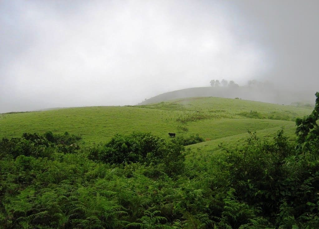
  • Go in the dry months and go early. Cloud sits on this ridge for days at a time in the monsoon and the bare rock near the top is genuinely slippery wet — the descent is the riskier half.
  • Carry water. There is no published drinking water, toilet or food between the car park and the summit; buy what you need in Vagamon, 3 km away.
  • If the monastery is what you came for, do not climb this hill. Take the Erattupetta–Peermade road to Vazhikkadavu bus stop; the monks describe their gate as 1.5 km and about a twenty-minute uphill walk from there, and suggest staying on to Vagamon and taking a taxi if you would rather not walk it. Arrange a visit or a stay in advance.

Distance by road

  • Kochi107 km
  • Madurai172 km
  • Thiruvananthapuram226 km
  • Coimbatore252 km
  • Kozhikode276 km

Road km to Idukki; ghat roads and traffic vary — allow extra.

Timing

Best time

September to May for a clear summit; the monsoon takes the view away and makes the rock slippery. Early in the day is best — the hill opens at 04:00 and pilgrims climb before first light. Good Friday and Holy Week are the busiest days of the year by a wide margin.

Weather in KurisumalaSeasonal guide

Live forecast loads in your browser.

Today at Kurisumala
Sunrise6:11 am
Sunset6:14 pm
Golden hour best light5:14 pm–6:14 pm
Blue hour after sunset6:14 pm–6:39 pm
Sun sets toward compass bearingW · 267°
Moon tonight🌖 Waning gibbous · 85%
South-west monsoon. June to September is the south-west monsoon in Kerala. Expect heavy showers, mostly in bursts rather than all day — carry rain cover, allow extra time for getting around, and note that ferries and open-air sites are the first things affected.

Sun and moon are calculated for this location and shown in IST. Photography windows are the hour around sunrise and sunset; the sunset bearing is degrees clockwise from true north. Moon phase is accurate to about half a day.

Visitor notes

  • This is an active pilgrimage hill, and in Holy Week the people around you are performing an act of penance. Dress with shoulders and knees covered, and be quiet at the summit cross.
  • Kurisumala Ashram is not at the top and is not reached by this climb — it is 818 m north and about 145 m lower, on its own road.
  • Entry is free; Kerala Tourism says so and the car park is mapped as unrestricted. The office at the summit accepts Mass stipends and donations, which is not a ticket.
  • Wear shoes with grip. The upper section is bare rock, and that matters more here than anything else you wear.
Safety

Good to know

  • The bare upper slabs are slick in rain or mist, and mist is common on this ridge. Most trouble here happens on the way down, not the way up.
  • There is no shelter anywhere on the open dome — a real consideration in a thunderstorm at about 1,180 metres.
  • The published closing time of 20:30 is far later than it is sensible to still be on the rock. Start early enough to be down in daylight.
  • On Good Friday the constraint is parking at the foot rather than space on the path.
Stay · eat · do · rent · see · shop

Stays, food & things to do near Kurisumala

Verified hotels, homestays, restaurants, experiences, sights, shops and rentals around Kurisumala — commission-free, with direct contact. Filter by what you need.

5 things to do near Kurisumala

Taxi and sightseeing transfer provider · Vagamon
Vagamon Taxi Service

A Pulinkatta Junction, Vagamon based 24-hour taxi operator for local cabs, outstation trips, airport pickups, sightseeing packages and jeep safari.

Directions Commission-freeView details
Off-road jeep safari and camping operator · Vagamon
Vagamon Off Road Jeep Safari

A Sositekavala, Vagamon based operator running full-day, half-day and village jeep safaris with tent camping and trekking or tea-garden tour packages.

Directions Commission-freeView details
Jeep safari and taxi operator · Vagamon
Vagamon Jeep Safari (Anu Holidays)

Anu Holidays runs off-road jeep safaris plus taxi, airport transfers and tour packages from Anu Bhavan, Vagamon, with online and WhatsApp booking.

Directions Commission-freeView details
Vagamon day-tour and taxi operator · Vagamon
Thekkady Jungle Safari Vagamon Day Tour

Periyar Cabs-operated tour and taxi source listing Vagamon day tours, taxi service and guided safari support.

Directions Commission-freeView details
Paragliding and activities · Vagamon
Vagamon Bamboo Nest Paragliding

Vagamon Bamboo Nest paragliding record for adventure activity planning. Paragliding and activities.

Directions Commission-freeView details

Book with the place itself. India’s cyber-crime coordination centre warned in April 2025 that convincing copies of hotel and pilgrimage booking sites are being pushed through sponsored search and social ads, taking payment for rooms the property never hears about. Every listing here links to the business’s own contact details and its own Google or Bing profile — we take no commission and sit in nobody’s payment path. If a booking page reached you through an ad, check the address bar against the property’s own site before you pay. Fraud can be reported on cybercrime.gov.in or on 1930.

Ranked lists

The best of Vagamon, ranked

Browse food, accommodation and activities across Vagamon. Check each address and journey before adding it to your day; these selections are not all beside Kurisumala.

Ranked guides

Top experiences around Vagamon

6 more places around Vagamon. Open a guide to plan the visit and onward journey.

hill stationVagamon

3.1 km · 5 min drive

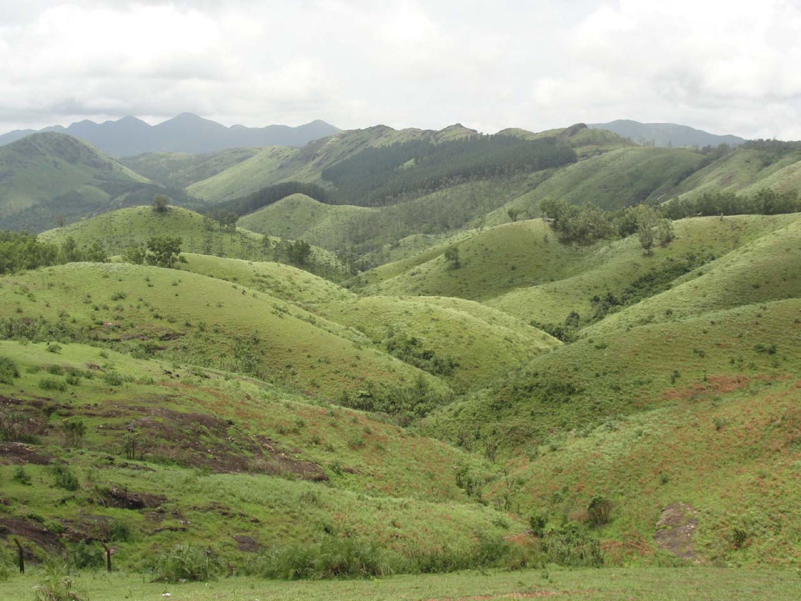
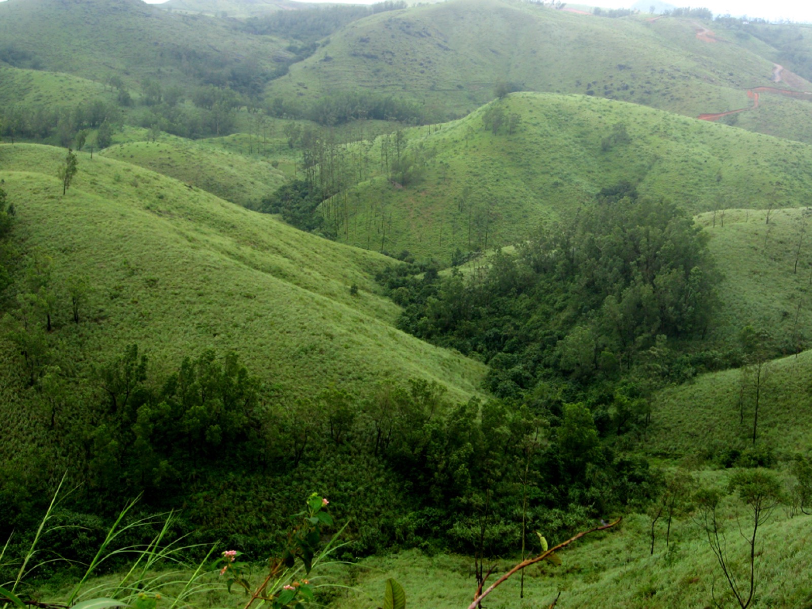
Rolling meadows, pine patches and viewpoints on the Idukki/Kottayam highland edge.

hill stationVagamon meadows

4.3 km · ~11 min by auto

Open meadow landscape forming the classic Vagamon sightseeing circuit.

viewpointPine forest

6.9 km · 15 min drive

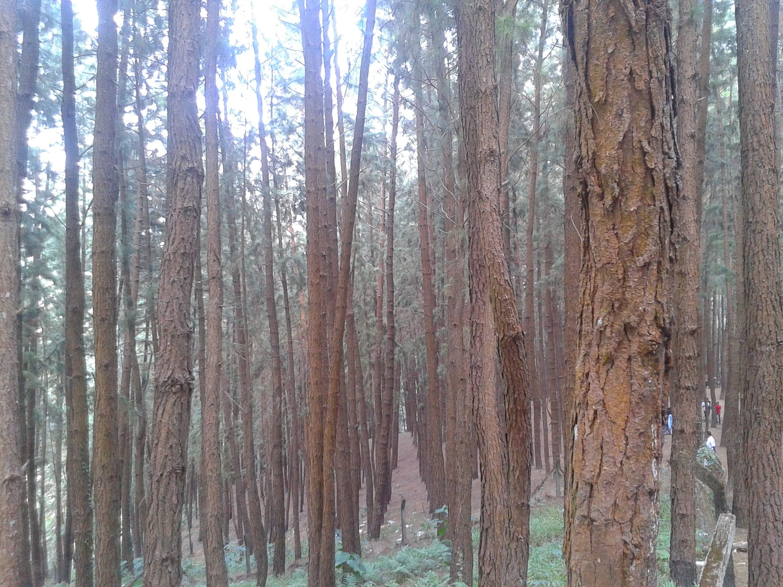
A 61.40-hectare plantation of Caribbean pine on the Kolahalamedu shoulder above Vagamon — planted in rows by the Kerala Forest Department’s research wing on land that was not legally forest at all until March 2021, and run today as a ticketed ecotourism centre with a counter, a car park and a made path. Every travel site calls it a British-era forest; the state’s own record calls it the Kolahalamedu Pine Plantation.

mosqueThangalpara

4.4 km · 11 min drive

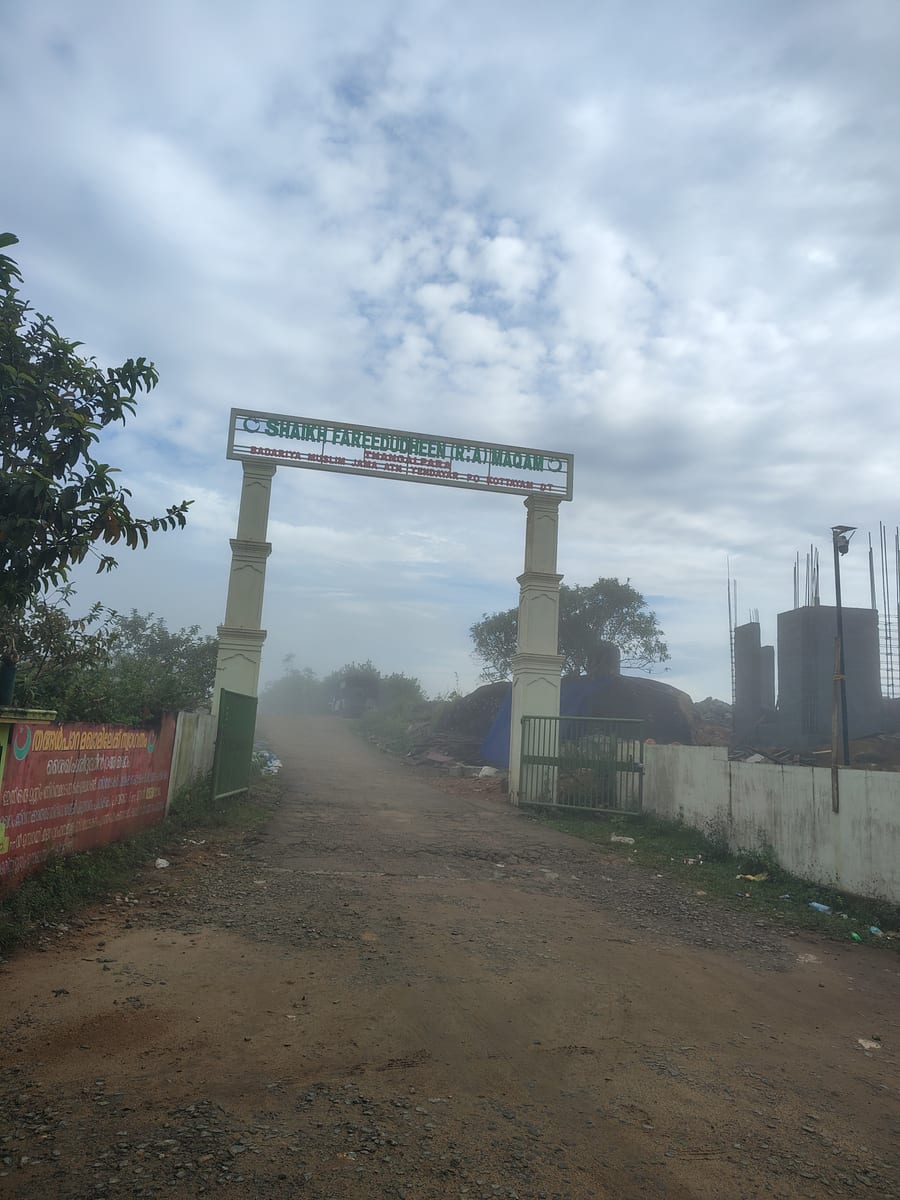
A working Muslim pilgrimage centre on a bare granite dome above Vagamon, on the Kottayam side of the district line. It calls itself the Shaikh Fareedudheen (R.A) Maqam, and the life set out at its gate — the saint’s father, mother, teachers and date of death — is that of Fariduddin Ganjshakar, Baba Farid, whose dargah is at Pakpattan in the Punjab. Kerala Tourism calls this rock his grave; the shrine says maqam, which is the smaller and more careful word.

viewpointParagliding viewpoints

5.9 km · 13 min drive

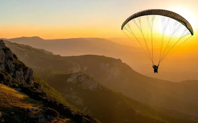
The Kolahalamedu ridge above Vagamon — grass hills the state names as one of only two accredited paragliding sites in Kerala, and the launch ground for a carnival its own website has not updated since 2015. What you come for is the open meadow ridge and the valley it drops into; whether anyone is flying on the day is a question for a licensed operator, not a website.

trekVagavanam Windy Walk trek

14.7 km · 27 min drive

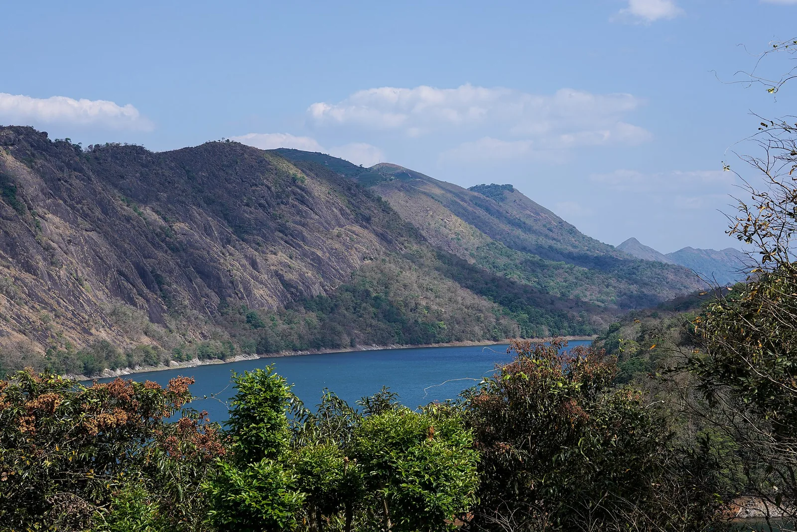
The Forest Department’s guided walk on the grass tops at the southern end of the Idukki Wildlife Sanctuary, about ten kilometres by road from Vagamon — some seven kilometres on foot up jeep track and open ridge, with the Idukki reservoir catchment below you. The state will not sell it to fewer than six people, and it will not take more than seven.

Roampedia is commission-free — own or know a stay, eatery, guide or shop near Kurisumala? List it and it appears here once verified.

Add a nearby business
Before you go

Kurisumala — at a glance

DifficultyModerate
Distance1.2 km each way, with about 150 m of ascent
Duration1.5 to 2.5 hours for the hill; add an hour or more if you are also visiting the monastery, which is a separate journey rather than a detour
OperatorThe summit and its St Thomas Church are run as a parish — the office building at the top is signed KURISUMALA OFFICE and lists a vicar and an assistant vicar. Kurisumala Ashram, 818 m north and about 145 m lower, is a Cistercian monastery under an abbot, incorporated into the Order of Cistercians of the Strict Observance in 1998 as an autonomous abbey. They are separate institutions that share a name.
Timings04:00 to 20:30, all days, published by the District Tourism Promotion Council, Idukki. Those are unusually long hours for a Kerala visitor site and they exist because this is a working pilgrimage hill: people climb before first light. The church at the summit and the parking ground at the foot are open ground rather than a gated compound. The monastery, which is a separate place further down, keeps its own timetable and its church is open around the clock.
Best timeSeptember to May for a clear top. The view is the reward and the monsoon takes it away — cloud sits on this ridge for days at a time and the bare rock near the summit is slippery when wet. Good Friday and Holy Week are the busiest days of the year by a wide margin, and the crowd is the experience rather than an obstacle to it; if you want the hill quiet, avoid them.

Entry: None. Kerala Tourism states there is no entry fee to visit Kurisumala, and OpenStreetMap records the parking ground at the foot as fee=no with unrestricted access. The office at the summit is signed as accepting Mass stipends and other donations, which is not a ticket and is not required of visitors.

Photography: No restriction published for the hill. Inside the summit church and anywhere in the monastery, treat it as you would any working place of worship — ask, and do not photograph people at prayer. The monastery is an enclosure and parts of it are closed to visitors regardless of cameras.

Booking: Nothing to book for the hill; you park and you walk. A stay or a retreat at the monastery is a different matter and must be arranged with the community in advance — it keeps guest accommodation for men and women and hermitages for those wanting solitude, and guests are expected to share in the household work. We are deliberately not printing a booking link: the monastery's own domain now serves a blank parked page rather than its site, so there is currently no live official address we are willing to send you to.

Parking: An open, unsurfaced parking ground at the foot of the hill, beside the entrance signboard, mapped by OpenStreetMap as free with unrestricted access. It is the point everyone means by "Kurisumala" when giving driving directions, and it is 3.1 km from Vagamon by road — DTPC publishes 3.2 km from Vagamon bus stand, which agrees. On Good Friday parking, not the path, is the constraint.

Getting here

How to reach Kurisumala

  • ✈︎ By air Cochin International Airport at Nedumbassery is the nearest, 94.8 km to the car park by the fastest road route, a little under two hours in clear traffic. DTPC publishes 101 km. The monastery's own directions for reaching the ashram quote 120 km and about three hours by taxi, by a different route via Thodupuzha and Erattupetta — all three are describing real journeys to slightly different points.
  • 🚆︎ By train Kottayam is the nearest useful railhead, 64.2 km to the car park, about an hour and twenty minutes by road. DTPC publishes 62.5 km. From the station the practical move is a taxi or auto to the KSRTC bus station about 2 km away and a bus towards Vagamon, changing at Pala if there is no direct service.
  • 🚗︎ By road From Vagamon town it is 3.1 km to the car park at the foot of the hill. Erattupetta is 24.2 km and Pala 37.7 km. 🔴 Do not follow a car navigation app blindly to the summit: routed without constraint it will send you 4.7 km up a cobblestone track recorded as being in bad condition instead of the 3.1 km to the car park. Set the destination to the parking ground.
  • 🚌︎ By bus Buses running Pala or Erattupetta to Vagamon, Pullikkanam and Kattappana pass Vazhikkadavu bus stop on the Erattupetta–Peermade road, which is the stop for the monastery. From Tamil Nadu the route the monks themselves suggest is Kumily, Kuttikkanam, Elappara, Vagamon, Vazhikkadavu.
Getting back

If you are travelling by bus or ferry, check the return service with the operator before setting out. Leave time to reach the stop or jetty after your visit.

Ask at the bus stand for the time of the last service back, not the next one. If you miss it, an auto or app cab is the fallback — agree the fare before you get in.

Do

Things to do

  • Walk the 1,200 metres to the summit past the fourteen Stations of the Cross — the signboard at the bottom gives the distance and the mapped footway confirms it.
  • Look into St Thomas Church at the top, a plain building with a painted crucifixion behind its altar, and out at the view over the valley from the rock beside it.
  • Find the summit cross with its life-size figures of Mary and John, which in cloud is the image most people carry away from this hill.
  • Visit Kurisumala Ashram as a separate journey — not a detour from the climb — remembering that it is a working monastic enclosure and not a sight.
  • Pair the hill with Thangal Para and Murugan Mala, the Sufi and Hindu hills of the same cluster, if the tri-faith circuit is what brought you to Vagamon.
Plan

Good to know

  • Set your destination to the car park, not to the summit, or your navigation will try to drive you up the pilgrim track.
  • The ashram is not at the top. If the monastery is what you came for, you want Vazhikkadavu bus stop and a separate 1.5 km walk, not this climb.
  • Carry water. There is nothing to buy between the car park and the summit.
  • Grip matters more than anything else you wear. The upper section is bare rock and it is genuinely slippery wet.
  • This is an active place of worship and, in Holy Week, an act of penance for the people around you. Dress and behave accordingly, especially at the summit cross.
Facilities

On site

  • Open parking at the foot of the hill, beside the entrance signboard — mapped by OpenStreetMap as free, with unrestricted access.
  • St Thomas Church at the summit, the destination of the climb, with a painted crucifixion behind its altar.
  • The Kurisumala office at the summit, signed in Malayalam and English, which accepts Mass stipends and other donations and lists a vicar and an assistant vicar.
  • A second St Thomas church at the foot of the hill, named on its own gable — separate from the one at the top.
  • The fourteen Stations of the Cross along the path itself: painted panels in shrine boxes on the open hillside.
  • 🔴 No published toilet, no drinking-water point and no food outlet anywhere on the hill, and we are not going to invent them. Buy what you need in Vagamon, 3 km away, before you start up.
Stay safe

Safety

  • The hazard here is weather and rock, not difficulty. The upper slabs are bare and are genuinely slick when wet, and cloud can close over the dome within minutes on this ridge.
  • The mist that makes the summit cross photogenic is what makes the descent the risky half. Most trouble on hills of this shape happens on the way down.
  • There is no shelter anywhere on the open rock — a real consideration in a thunderstorm at about 1,180 metres.
  • The published closing time of 20:30 is far later than it is sensible to still be up there. Start early enough to be down in daylight.
  • Wear shoes with grip. On this hill that matters more than anything else you wear.
  • On Good Friday and in Holy Week the constraint is parking at the foot rather than space on the path; the walk itself will be slow because it is full.
Getting around KurisumalaNot wheelchair accessible
Terrain
Steep
Steps
We have not counted steps on the ground and we are not printing a number. Photographs of the lower section show a broad flight of made steps with a handrail on both sides climbing towards the hill; above that the route runs onto open rock where there is no stair and no rail. Treat the handrailed section as the easy part.
From the entrance
You drive to an open, unsurfaced parking ground at the foot of the hill and walk from there. The site’s own signboard gives the distance to the top as 1,200 metres; route measurements put the walk at roughly 1.15 km. The ascent is about 150 m, from roughly 1,020–1,035 m at the parking to about 1,172–1,187 m at the summit. The lower part is a made path; the upper part is bare rock dome.
Step-free access
❌ Not accessible. The only way to the summit is 1.2 km of climbing path ending on bare rock with about 150 m of ascent, and there is no vehicle access above the parking ground. The parking ground itself is level open earth and a wheelchair user can reach it, the wayside shrine beside it and the church at the foot of the hill; the summit, its church and the summit cross are out of reach. We would rather say so plainly than imply a partial route that does not exist.
Prams
No. A pram will not get up the rock section, and the made steps lower down would have to be carried.

Free open parking at the foot, mapped as unrestricted

  • The upper section is bare rock and is genuinely slippery in rain or mist — which on this ridge is common, and is the reason the descent is the riskier half.
  • There is no shelter anywhere on the open dome. At about 1,180 m a thunderstorm is a real hazard.
  • No published drinking water, toilet or food on the hill. Carry water from Vagamon, 3 km away.
  • Kurisumala Ashram is not at the top and is not reached by this climb — it is 818 m north and about 145 m lower, on its own road from Vazhikkadavu bus stop, which the monastery describes as a 1.5 km, roughly 20-minute uphill walk.

Checked 26 August 2026 against source 1source 2source 3source 4source 5. Conditions change and surfaces vary with weather — if step-free access is essential, confirm with the site before you travel.

Practical things near Kurisumala

These services are listed within about 1.2 km of Kurisumala. Walking distances follow mapped routes; access and opening hours can change. Other services may be closer but are not included here.

Nearby

What’s near Kurisumala

hill stationVagamon meadows

Open meadow landscape forming the classic Vagamon sightseeing circuit.

4.3 km · ~11 min by auto · straight line
mosqueThangalpara

A working Muslim pilgrimage centre on a bare granite dome above Vagamon, on the Kottayam side of the district line. It calls itself the Shaikh Fareedudheen (R.A) Maqam, and the life set out at its gate — the saint’s father, mother, teachers and date of death — is that of Fariduddin Ganjshakar, Baba Farid, whose dargah is at Pakpattan in the Punjab. Kerala Tourism calls this rock his grave; the shrine says maqam, which is the smaller and more careful word.

4.4 km · 11 min drive
hill stationVagamon

Rolling meadows, pine patches and viewpoints on the Idukki/Kottayam highland edge.

3.1 km · 5 min drive
viewpointParagliding viewpoints

The Kolahalamedu ridge above Vagamon — grass hills the state names as one of only two accredited paragliding sites in Kerala, and the launch ground for a carnival its own website has not updated since 2015. What you come for is the open meadow ridge and the valley it drops into; whether anyone is flying on the day is a question for a licensed operator, not a website.

5.9 km · 13 min drive
viewpointPine forest

A 61.40-hectare plantation of Caribbean pine on the Kolahalamedu shoulder above Vagamon — planted in rows by the Kerala Forest Department’s research wing on land that was not legally forest at all until March 2021, and run today as a ticketed ecotourism centre with a counter, a car park and a made path. Every travel site calls it a British-era forest; the state’s own record calls it the Kolahalamedu Pine Plantation.

6.9 km · 15 min drive
damKulamavu Dam

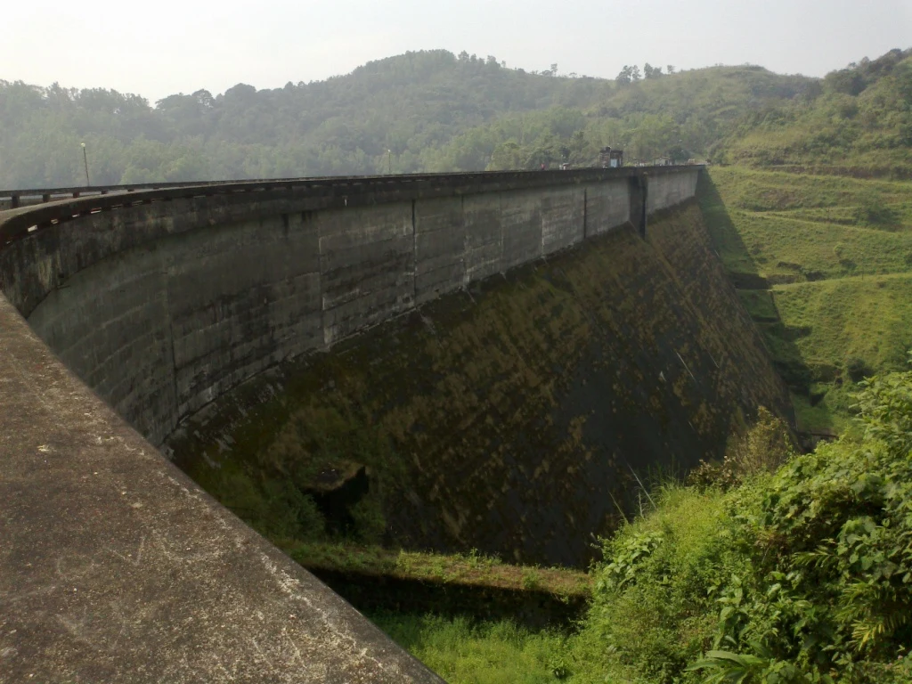
Kulamavu is KSEB’s gravity dam on Kilivallithodu and one of three dams forming the Idukki reservoir. Visit through the hydel-tourism arrangements; reservoir views do not authorise entry to restricted infrastructure.

13.9 km · ~23 min by cab · straight line
viewpointNadukani Viewpoint

Ghat viewpoint on the Thodupuzha–Puliyanmala road overlooking the Idukki high range, a popular stop for valley views and cool breezes.

13.9 km · ~23 min by cab · straight line
hill stationKuttikkanam

Peermade-side hill-station and adventure-tourism area, useful for tea estates, pine roads and central high-range routing.

14.0 km · ~23 min by cab · straight line
trekVagavanam Windy Walk trek

The Forest Department’s guided walk on the grass tops at the southern end of the Idukki Wildlife Sanctuary, about ten kilometres by road from Vagamon — some seven kilometres on foot up jeep track and open ridge, with the Idukki reservoir catchment below you. The state will not sell it to fewer than six people, and it will not take more than seven.

14.7 km · 27 min drive
wildlifeIdukki Wildlife Sanctuary

Protected forest around the Idukki and Cheruthoni reservoirs near Painavu, with hilly evergreen woodland, elephants and boat-and-trek access arranged through the Forest Department.

15.9 km · ~26 min by cab · straight line
A
Ayyappancoil Hanging Bridge
Place
heritageAyyappancoil Hanging Bridge

The long pedestrian suspension bridge above the Idukki reservoir at Ayyappancoil, valued for water and hill views as well as the crossing itself.

16.6 km · ~28 min by cab · straight line
hill stationPeermade

Peermade, also written Peerumedu or Peermede, is a plantation settlement and highland landscape on the Kottayam–Kumily road in Idukki. The map uses the town centre as a visitor base, not a single hilltop attraction.

16.7 km · ~28 min by cab · straight line

All 6 places to visit in Vagamon →

Walking and driving times are real routed distances, except the few marked “straight line”, which are direct-line estimates and will read short. Fare figures are estimates from Kerala’s notified auto/taxi tariff and exclude waiting and night charges. Routing: © openrouteservice.org by HeiGIT | Map data © OpenStreetMap contributors

Nearby toilets, pharmacies, ATMs, seating and vets are community-mapped and may be incomplete or out of date. Map data © OpenStreetMap contributors | Walking times © openrouteservice.org by HeiGIT

On the map

Where Kurisumala is

Good to know

Kurisumala — frequently asked

How long is the climb to the top of Kurisumala?

1,200 metres, according to the signboard at the bottom — “DISTANCE TO KURISUMALA TOP - 1200 Mtr.” the mapped Way of the Cross footway measures 1,133 metres and a walking route over it comes out at 1,160 metres and about fourteen minutes of moving time. The ascent is roughly 150 metres, from about 1,020–1,035 metres at the car park to about 1,172–1,187 at the summit. Most people take considerably longer than fourteen minutes, because the fourteen stations are the reason for going.

Can I drive to the top?

No. Vehicles stop at the open parking ground at the foot, which OpenStreetMap records as free and unrestricted, and the rest is on foot up the pilgrim path. Be careful with map apps here: routed without constraint, a car navigation engine will happily send you 4.7 kilometres from Vagamon up a cobbled track tagged as being in bad condition, rather than the 3.1 kilometres to the car park where everyone actually stops. The District Tourism Promotion Council gives the same 3.2 kilometres from Vagamon bus stand that we measure to the car park.

Is the ashram at the top of the hill?

No, and this is the single most common mix-up here. Kurisumala Ashram is 818 metres north of the summit church and about 145 metres lower, on its own road, and you do not pass it on the climb. DTPC describes the monastery as being at the foothills. The monks’ own directions send you to Vazhikkadavu bus stop and then 1.5 kilometres up — “about a 20-minute uphill walk” — or, if you would rather not walk it, on to Vagamon and back by taxi.

Which district is Kurisumala in?

Kottayam, in Meenachil taluk, although it is universally described as a Vagamon place and Vagamon town is in Idukki. The district boundary runs between the two. Kerala Tourism publishes it as a Kottayam destination and the monastery’s own address is Vagamon P.O. 685 503, Kottayam Dt.; the District Tourism Promotion Council of Idukki also lists it, which is where most of the confusion comes from. Tested against the mapped boundary, everything on this hill falls on the Kottayam side.

When is the Good Friday pilgrimage, and how busy does it get?

Good Friday and the days of Holy Week around it are far and away the busiest of the year, and devotees climb carrying wooden crosses. The photographs on the site’s own entrance signboard show the dome covered in a solid crowd from the bottom of the frame to the cross on the crest. Nobody publishes an attendance figure we are willing to repeat, so we are not giving one; expect the walk to be slow, the summit to be full, and parking to be the real constraint.

Who runs Kurisumala — the monks?

Not the summit. The office at the top is signed KURISUMALA OFFICE and gives numbers for a vicar and an assistant vicar, so the pilgrim hill and its St Thomas Church are run as a parish. Kurisumala Ashram is a separate Cistercian community with an abbot, and it is a monastic enclosure rather than a visitor attraction. They share a name and a hillside and very little else administratively.

Is there an entry fee?

Kerala Tourism states there is no entry fee to visit Kurisumala, and the parking ground at the foot is mapped as free. There is an office at the summit that accepts Mass stipends and donations, which is a different thing from a ticket.

Can I visit or stay at the monastery?

Guests are received — the Benedictine-Cistercian tradition treats hospitality as an obligation, and the community keeps separate guest accommodation for men and women plus hermitages for those wanting solitude. But it is a monastery, not a guesthouse: those who stay are expected to share in the household work the monks call Ashram seva, and to fit around a day that begins with the night vigil at 03:45. The church is open around the clock. Arrange it in advance rather than arriving unannounced.

When is the best time to visit Kurisumala?

September to May for a clear summit; the monsoon takes the view away and makes the rock slippery. Early in the day is best — the hill opens at 04:00 and pilgrims climb before first light. Good Friday and Holy Week are the busiest days of the year by a wide margin.

What are the entry fee and timings at Kurisumala?

Entry: None. Kerala Tourism states there is no entry fee to visit Kurisumala, and OpenStreetMap records the parking ground at the foot as fee=no with unrestricted access. The office at the summit is signed as accepting Mass stipends and other donations, which is not a ticket and is not required of visitors. Timings: 04:00 to 20:30, all days, published by the District Tourism Promotion Council, Idukki. Those are unusually long hours for a Kerala visitor site and they exist because this is a working pilgrimage hill: people climb before first light. The church at the summit and the parking ground at the foot are open ground rather than a gated compound. The monastery, which is a separate place further down, keeps its own timetable and its church is open around the clock.

How do I reach Kurisumala?

Set your destination to the car park at the foot of the hill, not to the summit. It is 3.1 km from Vagamon by road, which matches the 3.2 km DTPC publishes from the bus stand. Routed to the summit instead, a car navigation engine will send you 4.7 km up a cobbled track recorded as being in bad condition. Allow an hour and a half to two and a half hours for the hill. The walk is 1,200 metres each way with about 150 metres of ascent; the stations are what make it slow, and slow is the point. Go in the dry months and go early. Cloud sits on this ridge for days at a time in the monsoon and the bare rock near the top is genuinely slippery wet — the descent is the riskier half. Carry water. There is no published drinking water, toilet or food between the car park and the summit; buy what you need in Vagamon, 3 km away. If the monastery is what you came for, do not climb this hill. Take the Erattupetta–Peermade road to Vazhikkadavu bus stop; the monks describe their gate as 1.5 km and about a twenty-minute uphill walk from there, and suggest staying on to Vagamon and taking a taxi if you would rather not walk it. Arrange a visit or a stay in advance.

How much time do I need for Kurisumala?

1.5 to 2.5 hours for the hill; the monastery is a separate journey again.

What else is near Kurisumala?

Nearby you can pair Vagamon meadows (4.3 km), Thangalpara (4.4 km), Vagamon (3.1 km), Paragliding viewpoints (5.9 km).

What should I know before visiting Kurisumala?

The bare upper slabs are slick in rain or mist, and mist is common on this ridge. Most trouble here happens on the way down, not the way up. There is no shelter anywhere on the open dome — a real consideration in a thunderstorm at about 1,180 metres. The published closing time of 20:30 is far later than it is sensible to still be on the rock. Start early enough to be down in daylight. On Good Friday the constraint is parking at the foot rather than space on the path.

Image credits

Photographs: Shijan Kaakkara (CC BY-SA 4.0), Vanischenu (CC BY-SA 3.0). Wikimedia Commons.