What to expect
Highlights
- Heritage experience at Thalassery Fort
- Architecture, local stories and old trade/cultural routes
- Good fit for guided walks and nearby cafes/shops
A square laterite fort built by the English East India Company in 1708 at Thalassery (Tellicherry), heart of the old Malabar pepper and cricket town, with secret sea tunnels.
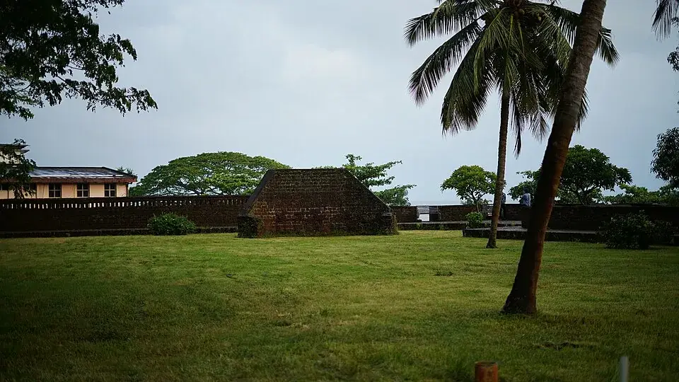
A squat, square block of weathered laterite standing guard over the Arabian Sea, Thalassery Fort is the stone heart of one of Malabar’s most storied towns — a British East India Company stronghold from which pepper, cardamom and the fortunes of the spice trade once flowed, and around which the town that gave India its circus, its cricket and its famous biryani grew up.
Walk up to Thalassery Fort today and the first thing that strikes you is its solidity. This is not a fairy-tale fort of soaring turrets but a low, muscular square of reddish-brown laterite, its walls rising to roughly ten metres and thick enough to shrug off cannon fire. Strong flanking bastions anchor the corners, small round-holed openings pierce the ramparts, and the whole structure sits on a rocky rise above the sea, exactly where a trading company wanting to watch the horizon would want to be.
The fort was raised by the British East India Company, which had established a trading factory at Tellicherry — the old anglicised name for Thalassery — in 1708 after securing a site from the local ruler. What began as a warehouse for peppercorns grew, over the following decades, into a fortified command post. Its underground chambers were built to store the pepper and, later, cardamom that made this stretch of the Malabar coast one of the most valuable pieces of real estate in the eighteenth-century spice world.
The details that visitors remember are the small, human ones. The fort is entered through massive wooden doors, heavy and intricately carved, that swing on the same hinges they have for generations. Ventilator openings and gun-slits break the thick walls. And then there are the tunnels: passages said, by long local tradition, to run from within the fort down towards the sea and the coast, dug so that defenders could move stores — or slip away — unseen. How far they truly reached is now more folklore than surveyed fact, but the sealed mouths of these passages are still pointed out, and they give the place a satisfying whiff of intrigue.
For all its calm today, this fort earned its walls. During the Anglo-Mysore wars it was besieged: from 1779 the Company garrison, blockaded by land and sea by the forces of Hyder Ali of Mysore under his commander Sardar Ali Khan, held out for over two years within these ramparts. Crucial help came from Kerala Varma Pazhassi Raja of Kottayam, whose troops and supplies stiffened the defence, and in 1782 a combined assault broke the siege. A decade later, in 1792, Tipu Sultan ceded Malabar to the British, and the fort settled into the quieter role of an administrative and garrison town’s centrepiece.
The fort is really a keyhole into Thalassery itself — a town that punches astonishingly above its weight in India’s cultural firsts. On the nearby maidan some of the earliest cricket in India was played — a Tellicherry Cricket Club is dated to 1830, though the earliest match report anyone cites is from 1890, and our Thalassery town record sets out how loose the paperwork is. It was here that Keeleri Kunhikannan, the gymnastics instructor at the town’s Basel Mission school, fused kalari body-training with acrobatics and began supplying trained performers to a travelling circus in 1888; his own circus school opened in 1901 not in the town but at Chirakkara, and he is properly the father of the Kerala circus rather than of the Indian one. The German missionary-scholar Hermann Gundert worked in the area, compiling his pioneering Malayalam dictionary and helping print one of Kerala’s first newspapers. Even the town’s cakes and its celebrated biryani carry the flavour of this crossroads of Europeans, Arabs and Malabaris.
A short walk or drive from the fort, the coast keeps giving. Overbury’s Folly, a breezy seafront promontory laid out by a British judge in the 1870s, offers sunset views over the Arabian Sea. To the north, Muzhappilangad stretches out as one of the few drive-in beaches in India, where you can take a car along the sand. Together they make the fort not a one-stop photo but the anchor of an easy half-day soaking up Malabar’s layered, seafaring past.
The story begins with pepper. By the late seventeenth century the Malabar coast’s black pepper and hill spices had made it a magnet for European trading companies, and the British East India Company set up a factory at Tellicherry in 1708 on a site obtained from the local ruler. The fortification of that trading post followed, hardening a commercial foothold into a defensible one — a process that gained urgency after the French occupied nearby Mahé in the 1720s and rivalry along the coast sharpened.
Built almost entirely from locally quarried laterite, the fort reflects European military engineering adapted to Malabar’s materials and climate: an oblong-to-square plan, walls around ten metres high and several metres thick, flanking bastions for covering fire, and the storage vaults and tunnels that served both trade and defence. From here the Company managed the export of pepper, cardamom, other hill produce and timber, and Tellicherry grew into one of its most important settlements on the western coast.
The fort’s severest test came during the Anglo-Mysore wars. From late 1779 the garrison was blockaded within Thalassery by the armies of Hyder Ali of Mysore, led by his commander Sardar Ali Khan. The defenders, aided decisively by Kerala Varma Pazhassi Raja of Kottayam and eventually reinforced to several battalions with artillery, endured a siege lasting more than two years before breaking it with a combined frontal and flanking assault in 1782 — a reverse that rippled out into wider revolt across Malabar.
The larger political question was settled a decade later. Following his defeat in the Third Anglo-Mysore War, Tipu Sultan ceded the Malabar District to the British in 1792, folding the region firmly into Company rule. Thalassery continued as a trade and administrative centre, and around the fort the town accumulated its remarkable roster of firsts in cricket, circus, printing and scholarship through the nineteenth century.
In 1921 the Archaeological Survey of India recognised Tellicherry Fort as a centrally protected monument, the status it holds today. A lighthouse now stands on the site of an old redoubt near the fort, and while some of the outlying hill defences have been lost to time, the main laterite structure survives in fair condition — an unusually intact piece of colonial-era Malabar for visitors to walk through.
It is a genuine, walk-through eighteenth-century fort — massive laterite walls, corner bastions and gun-slits — rather than a ruin you view from behind a fence, making the scale of Company-era Malabar tangible.
The carved heavy doors, ventilators and the legendary sea-tunnels give the fort real texture and stories, ideal for history-minded travellers and curious families alike.
Its perch above the Arabian Sea delivers breezy ramparts and wide coastal views, with a lighthouse close by and sunsets that reward a late-afternoon visit.
The fort is the gateway to Thalassery’s extraordinary cultural firsts — the town that supplied India with its circus performers, one of the cradles of Indian cricket, and a centre of early Malayalam printing and scholarship.
It anchors an easy, rewarding day out: pair it with Overbury’s Folly for sunset, the drive-in sands of Muzhappilangad beach, and a plate of the town’s famous Thalassery biryani.
Entry is generally free or nominal and it sits right in town, so it slots into a north Kerala itinerary with almost no effort or cost.
Road km to Kannur; ghat roads and traffic vary — allow extra.
November to February and early mornings are best for walking; avoid midday heat where possible.
Live forecast loads in your browser.
Sun and moon are calculated for this location and shown in IST. Photography windows are the hour around sunrise and sunset; the sunset bearing is degrees clockwise from true north. Moon phase is accurate to about half a day.
Verified hotels, homestays, restaurants, experiences, sights, shops and rentals around Thalassery Fort — commission-free, with direct contact. Filter by what you need.
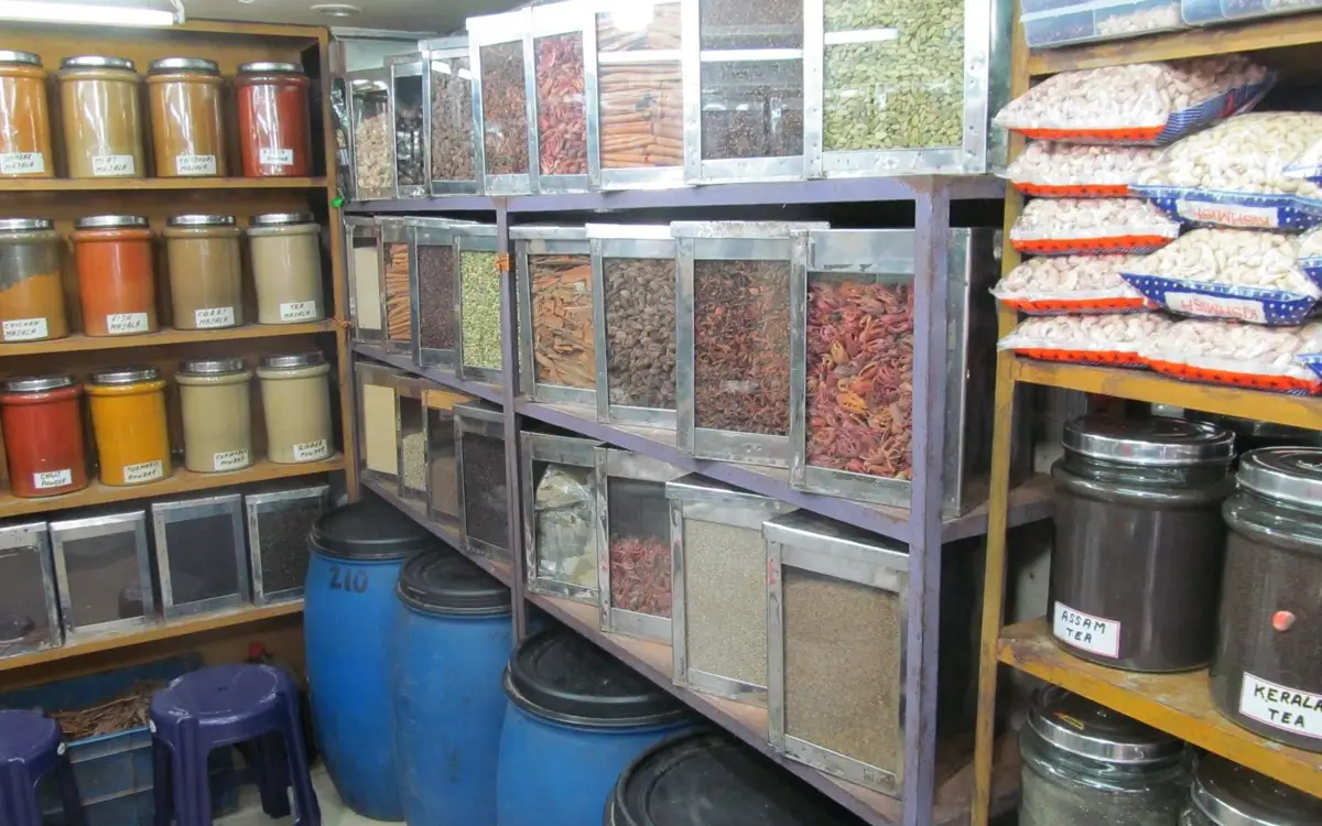
Tyndis runs a Thalassery biryani and Malabar cuisine food-tour experience, useful for travellers who want a guided, story-led local food route instead of only restaurant stops. Tyndis Travel, Co Orbit, 10th floor, Noel Focus, Infopark-Kakkanad Road, Kochi 682037; tour operates in Thalassery · Thalassery biryani, Food tour, Malabar cuisine.
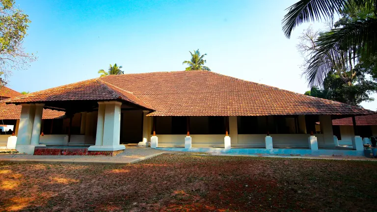
Gundert Bungalow is the Kerala Tourism-listed Thalassery heritage museum connected to Hermann Gundert, Malayalam language history and early Malayalam newspapers. Gundert Bungalow, Thalassery heritage, Museum.
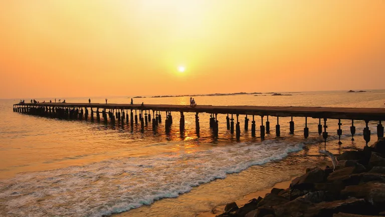
Thalassery is Kerala Tourism’s official heritage-town anchor for Kannur coast planning, covering Thalassery Fort, cricket history, food heritage, circus history and cultural landmarks. Public town; check attraction timings locally · Thalassery, Heritage town, Food heritage.

Muzhappilangad Beach is Kerala drive-in beach, best planned with current driving, beach safety, water-sport and Thalassery-route checks. Muzhappilangad, Drive-in beach, Thalassery.
Book with the place itself. India’s cyber-crime coordination centre warned in April 2025 that convincing copies of hotel and pilgrimage booking sites are being pushed through sponsored search and social ads, taking payment for rooms the property never hears about. Every listing here links to the business’s own contact details and its own Google or Bing profile — we take no commission and sit in nobody’s payment path. If a booking page reached you through an ad, check the address bar against the property’s own site before you pay. Fraud can be reported on cybercrime.gov.in or on 1930.
Find food, accommodation and activities across Muzhappilangad and Thalassery. Browse the guides for places to eat, stay and explore along your route.
4 more places around Muzhappilangad and Thalassery. Open a guide to plan the visit and onward journey.
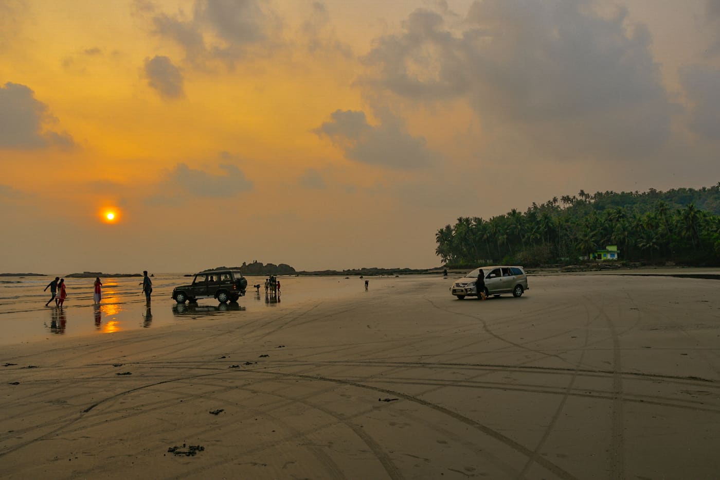
7.2 km · ~18 min by auto
A ~4 km hard-sand beach, the longest drive-in beach in India — you can drive along the sand at low tide; Dharmadam Island lies just offshore.
4.6 km · ~11 min by auto
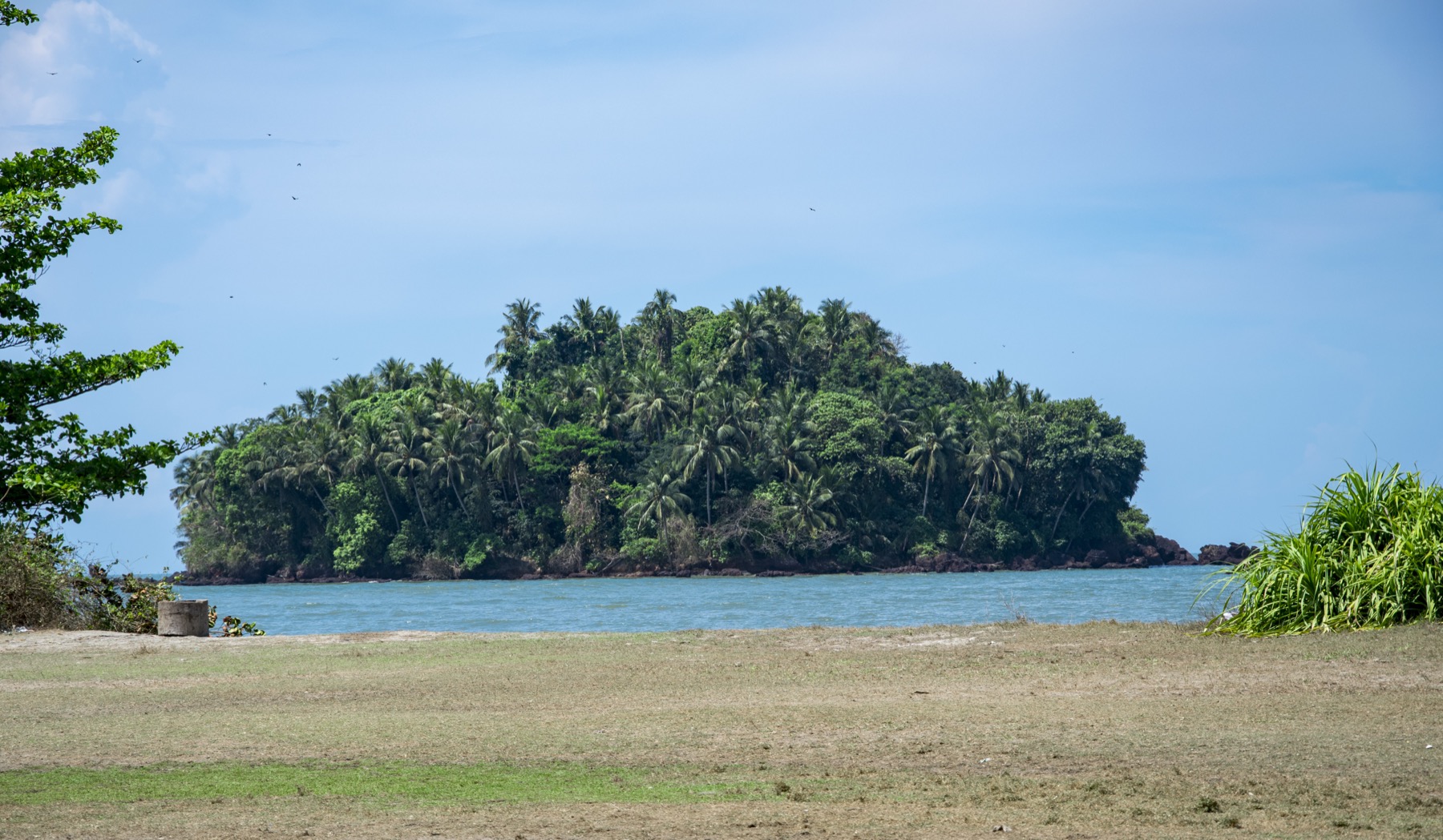
A small green private island off Muzhappilangad, reachable on foot across the sand at low tide (viewing only; landing is restricted).
2.2 km · 28 min walk
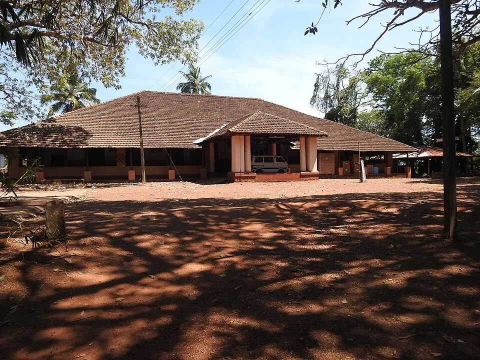
At Illikkunnu near Thalassery, the hillside home of the German missionary-scholar Hermann Gundert, who compiled the first Malayalam–English dictionary and grammar here in the mid-1800s.
270 m · 3 min walk
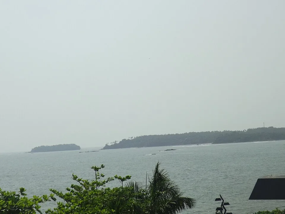
A cliff-top garden viewpoint over the sea at Thalassery, named after E.N. Overbury, a British judge of the 1870s who began but never finished a mansion here.
Roampedia is commission-free — own or know a stay, eatery, guide or shop near Thalassery Fort? List it and it appears here once verified.
Add a nearby businessEntry: Free or a small nominal charge.
Photography: Freely photographable — the laterite ramparts, carved doors, bastions and sea views all shoot beautifully, with soft late-afternoon light the most flattering. Check for any local restrictions on tripods or drones.
If you are travelling by bus or ferry, check the return service with the operator before setting out. Leave time to reach the stop or jetty after your visit.
Ask at the bus stand for the time of the last service back, not the next one. If you miss it, an auto or app cab is the fallback — agree the fare before you get in.
If you need step-free access, contact the site before travelling. Ask about a level entrance, steps along the route, the nearest drop-off point, seating and accessible toilets.
Charge cap and free-transaction limits: Reserve Bank of India, in force since 1 May 2025.
These services are listed within about 1.2 km of Thalassery Fort. Walking distances follow mapped routes; access and opening hours can change. Other services may be closer but are not included here.
Emergency numbers are verified against official government and state tourism sources. 112 works anywhere in India.
A cliff-top garden viewpoint over the sea at Thalassery, named after E.N. Overbury, a British judge of the 1870s who began but never finished a mansion here.
270 m · 3 min walk · straight lineAt Illikkunnu near Thalassery, the hillside home of the German missionary-scholar Hermann Gundert, who compiled the first Malayalam–English dictionary and grammar here in the mid-1800s.
2.2 km · 28 min walk · straight lineA small green private island off Muzhappilangad, reachable on foot across the sand at low tide (viewing only; landing is restricted).
4.6 km · ~11 min by auto · straight lineA ~4 km hard-sand beach, the longest drive-in beach in India — you can drive along the sand at low tide; Dharmadam Island lies just offshore.
7.2 km · ~18 min by auto · straight line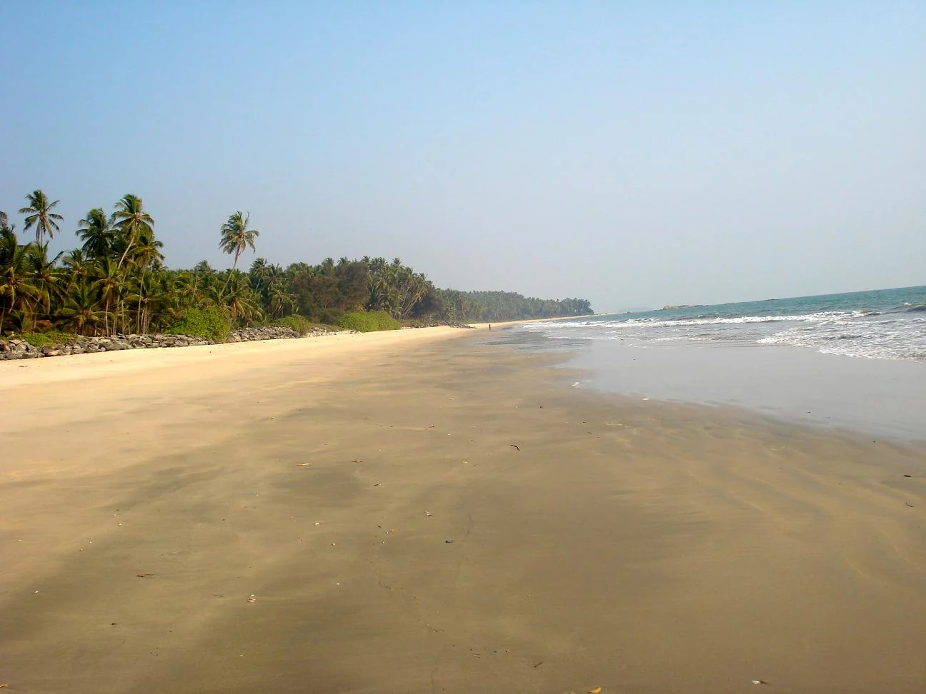
Kizhunna’s sandy shore lies between Thottada and Ezhara, with palm-backed village edges and the Cherakallu rock formations breaking up the coastline.
12.2 km · ~20 min by cab · straight line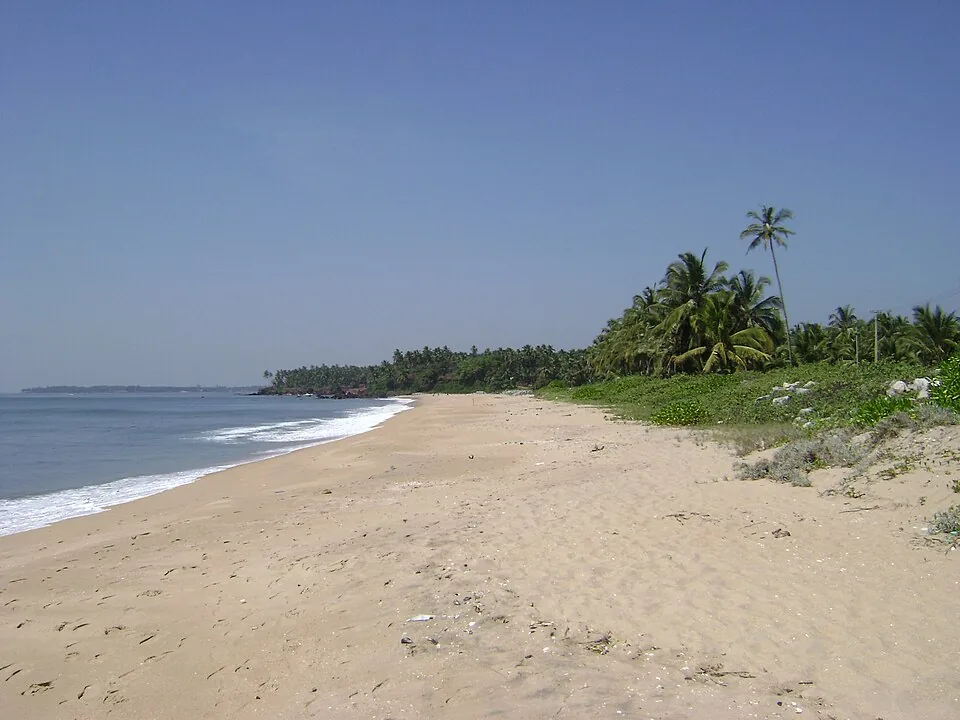
A quiet, unspoilt cove-and-stream beach south of Kannur city, known for its homestays and calm, uncrowded sands.
13.1 km · ~22 min by cab · straight line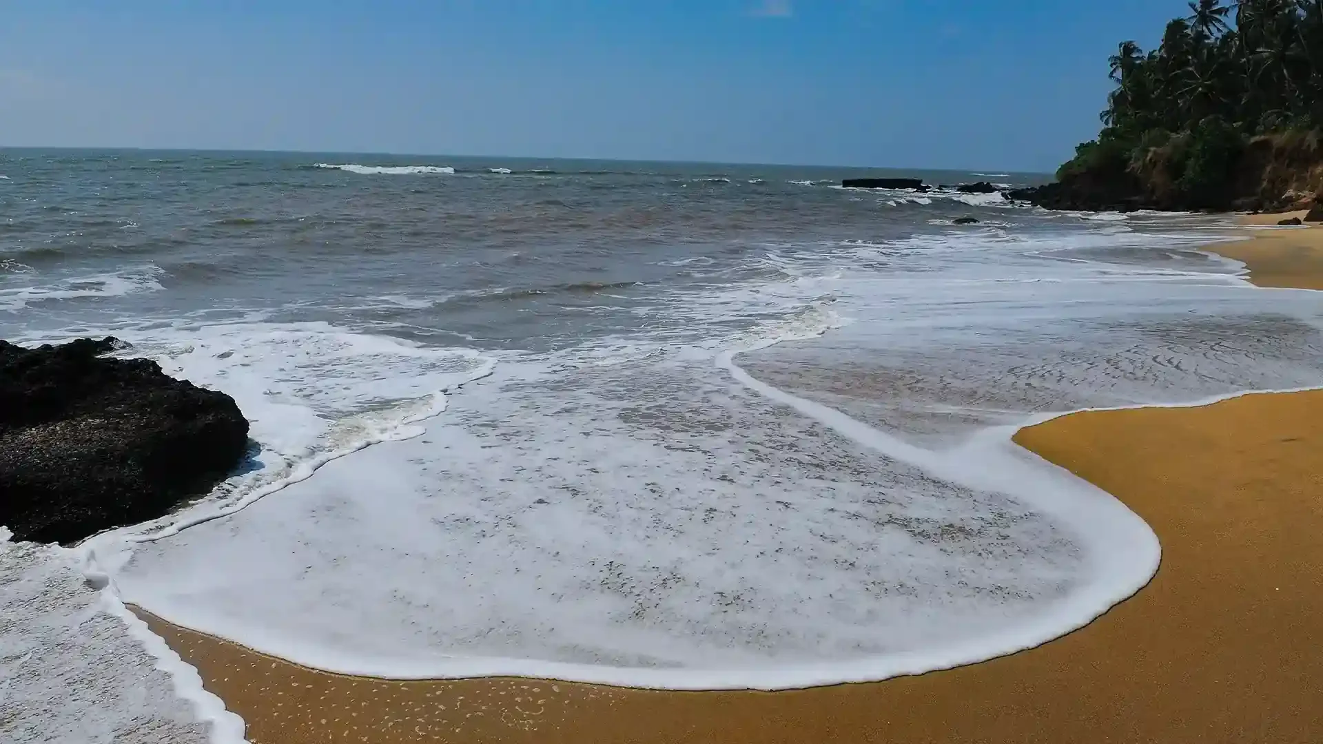
Adikadalayi Beach, also called Kadalayi Beach in Kerala’s coastal tourism study, is a Kannur shore with sandy pockets, exposed red coastal rock and palms above the water. It belongs to the Adikadalayi locality, not the separately named Thottada, Kizhunna or Ezhara beaches farther along the coast. Use the mapped public steps from Tippu Sulthan Beach Road as the arrival reference. Nearby cliff-side homestays have their own entrances and facilities, and should not be used as assumed public access.
14.5 km · ~24 min by cab · straight line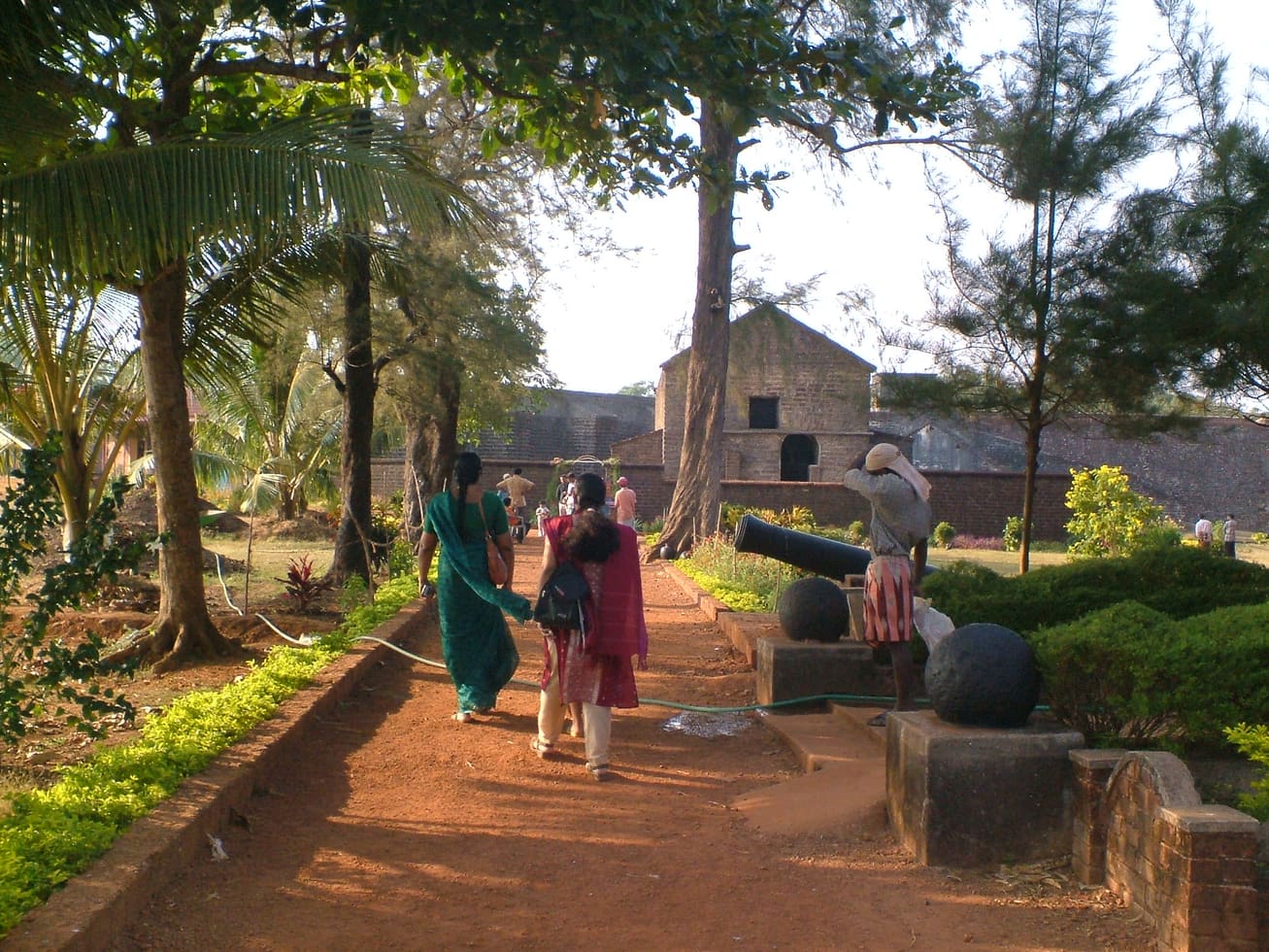
Sea-facing laterite fort built by the Portuguese in 1505, later held by the Dutch, the Arakkal royal house and the British — Kannur city’s great coastal landmark overlooking Mappila Bay.
17.1 km · ~29 min by cab · straight line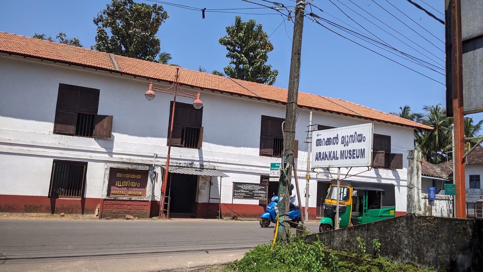
The Arakkal Kettu (palace museum) of the Arakkal Ali Rajas — Kerala’s only Muslim royal house, matrilineal so ruled at times by a Beevi (queen).
17.3 km · ~29 min by cab · straight line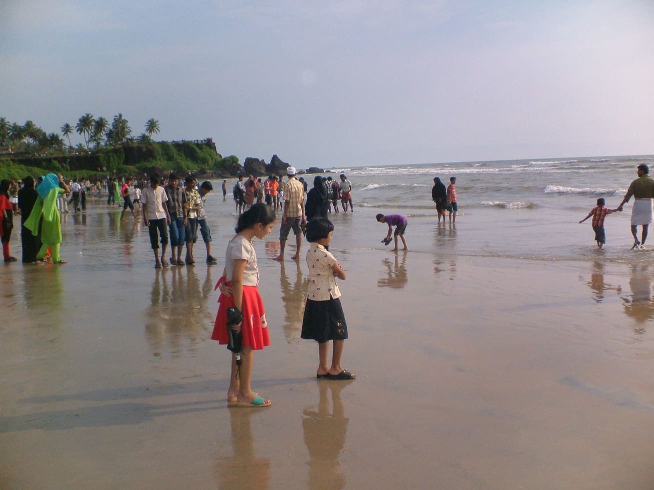
A small rocky beach in the Kannur cantonment, an extension of Payyambalam and within a few minutes of St Angelo’s Fort and the Kannur lighthouse. Not a swimming beach — the draw is the rocks, the quiet and the lighthouse beam after dark.
18.4 km · ~31 min by cab · straight lineKannur city’s main beach, with a landscaped garden, the mother-and-child sculpture and long sunset walkways.
20.1 km · ~33 min by cab · straight line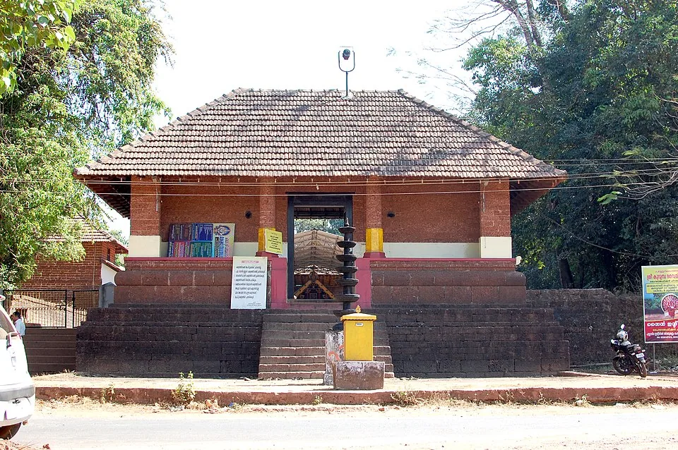
A Bhagavathy temple near Valapattanam regarded as the mother shrine of Kalaripayattu — Kerala’s martial art — where Theyyam is performed; the goddess is guardian of the kalari.
24.4 km · ~41 min by cab · straight lineNearby toilets, pharmacies, ATMs, seating and vets are community-mapped and may be incomplete or out of date. Map data © OpenStreetMap contributors | Walking times © openrouteservice.org by HeiGIT
It was built by the British East India Company, which established a trading factory at Tellicherry (the old name for Thalassery) in 1708 and fortified it in the following years to protect its lucrative pepper and spice trade on the Malabar coast.
Local tradition holds that tunnels ran from the fort down towards the sea for moving stores and for escape. Their mouths are still pointed out, but how far they truly extended is now more folklore than documented fact, and they are not open for visitors to walk through.
Yes. During the Anglo-Mysore wars the garrison was besieged from 1779 by Hyder Ali’s forces under commander Sardar Ali Khan. Aided by Kerala Varma Pazhassi Raja of Kottayam, the defenders held out and broke the siege in 1782; Malabar was ceded to the British by Tipu Sultan in 1792.
Entry is generally free or a very small charge, as the fort is an Archaeological Survey of India protected monument in an open town setting.
Around forty-five minutes to an hour is enough for the fort itself. Combine it with Overbury’s Folly for sea views and sunset, the drive-in beach at Muzhappilangad, and a meal of Thalassery biryani to make a satisfying half-day.
Thalassery is remembered as a cradle of Indian cricket, as the town from which a very large share of India’s circus performers came, and as a hub of early Malayalam printing and dictionary-making linked to Hermann Gundert — all growing up around this old Company trading town. Two of those need a qualification, which our Thalassery town record gives in full. Keeleri Kunhikannan is the father of the KERALA circus: he began training performers here in 1888, but the school he opened in 1901 was at Chirakkara, and Vishnupant Chatre’s Great Indian Circus was already touring. And the cricket claim rests on a Tellicherry Cricket Club dated to 1830 against an earliest cited match report of 1890, with Kolkata and Mumbai making competing claims.
November to February and early mornings are best for walking; avoid midday heat where possible.
Entry: Free or a small nominal charge. Timings: Generally open to visitors through the day, roughly morning to evening.
Base yourself in Muzhappilangad and Thalassery or a nearby town in Kannur, then confirm the last-mile route locally before leaving. Walkable heritage areas are best done slowly; combine nearby streets, museums, markets and food stops. If the visit depends on forest, temple, boat, ferry, weather or seasonal access, check the official/local rule on the day before travel.
1 to 3 hours.
Nearby you can pair Overbury’s Folly (270 m), Gundert Bungalow (2.2 km), Dharmadam Island (4.6 km), Muzhappilangad Drive-in Beach (7.2 km).
Watch traffic on narrow heritage streets. Keep valuables close in crowded markets.
Written about Thalassery Fort itself — its history, its legends and the arguments about them.
Route-level itineraries and practical guides for the rest of Kerala.
Photographs: Gautham Koorma (CC BY-SA 4.0), Vinayaraj (CC BY-SA 4.0), Vinitha8789 (CC BY-SA 3.0), Sanandkarun (CC BY-SA 3.0), Jithin S (CC BY-SA 3.0). Wikimedia Commons.