What to expect
Highlights
- High viewpoint and grassland hill near Perinthalmanna.
- Good pairing with Malappuram town, Angadipuram and local temple/food routes.
- Local services run to drivers, guides, homestays and restaurants.
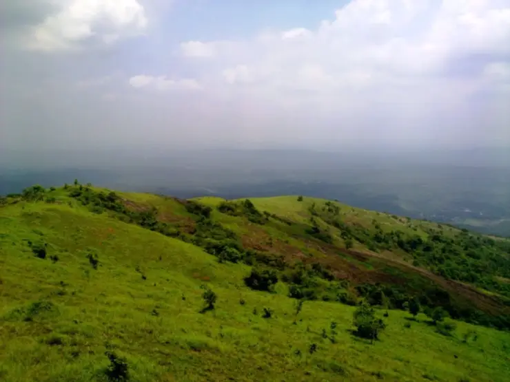
Kodikuthimala is Malappuram's high viewpoint near Perinthalmanna, often called a mini hill station for its grassland views and cooler ridge feel. It is a short hill escape, not a fully developed resort town.
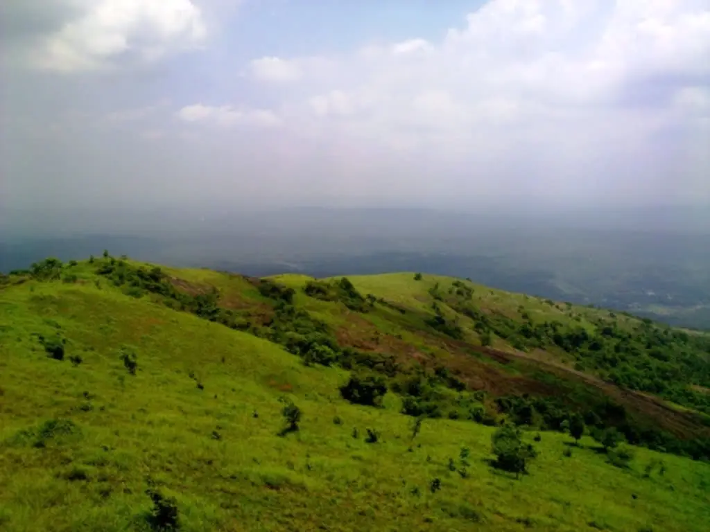
The practical page should explain road condition, final access, weather and limited facilities. Verified drivers and simple food/stay listings are more useful here than generic hill-station claims.
Rising to somewhere between 522 and 540 metres above the plains of eastern Malappuram — the published figures disagree, and we give both — Kodikuthimala is the green, wind-combed hilltop that locals call the ‘Ooty of Malappuram’. Grassy slopes, a three-storey summit tower built in 1998, and huge open skies for sunrise and sunset have turned this once-quiet survey point into one of the district’s most-loved viewpoints. It is not an idle description: the hill was a principal signal station in the Malabar Survey of 1921, which is why anyone was standing on top of it in the first place.
The first thing Kodikuthimala gives you is space. After the climb up from Amminikkad, the trees thin out and the hill opens into rolling, close-cropped grassland that runs to the horizon in every direction — the kind of bald green ridge that earns a place its ‘mini Ooty’ nickname. On a clear morning you can see the plains of Perinthalmanna spread below, laced with paddy, coconut and the distant blue crease of the Western Ghats.
It is the highest point in the Amminikkadan range, and that height is the whole draw. Wind moves constantly across the top, cloud shadows chase each other over the slopes, and in the monsoon a soft mist rolls in and out so that the watch-tower seems to float. People come here less for a single monument than for a feeling — the feeling of standing on an exposed green dome with the whole of central Malabar laid out at your feet.
The summit watch-tower is the natural gathering point. Climb its steps and the view swings a full 360 degrees over valleys, forest patches and far-off hills. Families spread out on the grass, children roll down the gentler slopes, and photographers stake out the western edge long before the sun starts to drop. Around golden hour the crowd grows quiet and turns as one to face the light.
Sunrise and sunset are the hill’s two great performances. In the early hours the eastern sky reddens behind layered ridgelines; in the evening the west burns orange and pink and the grasslands glow before dusk settles. Many regulars time their arrival for the late afternoon so they can walk the slopes, reach the top, and be in place as the colours turn.
For all its openness the hill is quietly alive. Wildflowers dot the grass, butterflies drift through the warmer hours, and birdsong carries on the wind; visitors report seeing deer, hares and a rich mix of birds in the wooded fringes below the bald crown. It is an easy, unthreatening kind of wildness — pleasant for a picnic, a nature walk or simply an hour of doing nothing with a very big view.
Kodikuthimala has been steadily developed as a tourism destination, with the state earmarking a large stretch of the hill for visitor facilities, improved roads and viewing points. That has made it far easier to reach than in its trekking-only days, yet it still keeps the plain, breezy, unhurried character of a local hill that people return to again and again.
The name itself tells the hill’s best-known story. In Malayalam ‘kodi’ means flag and ‘kuthi’ means to plant or fix — so Kodikuthimala is, quite literally, ‘the hill where a flag was planted’. The mala (hill) at the end completes a name that has stuck for well over a century.
By local tradition, that flag was raised during the British period. It is believed that surveyors working under colonial rule hoisted their flag on this commanding hilltop while carrying out a land survey, using the height as a vantage point over the surrounding country. The flag-planting gave the place both its purpose and its enduring name.
A watch-tower is said to have been built at, or near, the spot where the flag once stood — fitting for a summit whose whole value has always been the long, clear line of sight it offers in every direction. The present tower carries on that same idea of the hill as a place to look out from.
Geographically, Kodikuthimala is the highest peak of the Amminikkadan hills and falls within Thazhekode panchayat in Perinthalmanna taluk. Its height is one of those figures that does not settle: the English account gives 540 metres (about 1,770 feet) in one sentence and 1,713 feet — which is 522 metres — in the next, while the Malayalam article gives 522 metres flatly. We print the range rather than pick a side. Distance is unsettled in the same way, at 9 km in the English account and 12 km in the Malayalam one, and both are probably right because there are three different approach roads: via Amminikkad, via Thelakkad and the Pobson estate road, and from Mattarakkal on the Karinkallathani road. For generations the hill was known mainly to trekkers, cattle-herders and nearby villagers rather than to outside visitors; 91 hectares of the summit grassland belong to the Forest Department, and about 70 acres have since been set aside by the Tourism Department.
Its wider fame is recent. As eastern Malappuram’s appeal grew, the tourism department set aside a substantial area of the hill for development, and better roads, viewing points and basic amenities followed. The ‘Ooty of Malappuram’ tag took hold, and a former survey outpost quietly became one of the district’s signature viewpoints.
For the view above all — a genuine 360-degree sweep from the summit watch-tower over valleys, forests and distant ranges that few viewpoints in the district can match.
For sunrise and sunset: the open, treeless top makes Kodikuthimala one of the best places in central Malabar to watch the sky change colour with nothing blocking the horizon.
For the ‘mini Ooty’ feeling of cool, breezy, mist-touched grasslands close to the plains — a hill-station atmosphere without the long journey to the high Ghats.
For an easy, family-friendly outing: gentle slopes for children, room to picnic, and short nature walks rather than a demanding climb once you reach the developed area.
For quiet nature-watching — wildflowers, butterflies, birdlife and the occasional deer or hare in the wooded fringes below the bald summit.
For a low-cost, unhurried half-day that pairs well with nearby Perinthalmanna and the temple town of Angadipuram, making it an easy add-on to a Malappuram itinerary.
Road km to Malappuram; ghat roads and traffic vary — allow extra.
Post-monsoon and winter are best for green hills and clearer views.
Live forecast loads in your browser.
Check the official alert before you travel. Kerala’s beaches, waterfalls and trekking routes close at short notice during heavy rain, and district alert levels change day to day. We do not publish an alert level of our own — read it from the state authority: Kerala State Disaster Management Authority, or the district control room on 1077.
Sun and moon are calculated for this location and shown in IST. Photography windows are the hour around sunrise and sunset; the sunset bearing is degrees clockwise from true north. Moon phase is accurate to about half a day.
Verified hotels, homestays, restaurants, experiences, sights, shops and rentals around Kodikuthimala — commission-free, with direct contact. Filter by what you need.
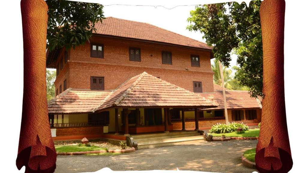
Kerala Tourism-listed heritage hotel near Angadipuram and Perinthalmanna. Perinthalmanna stay, Angadippuram, Heritage hotel.
Riverside wellness resort with an Ayurvedic spa, daily yoga and Panchakarma detox packages. Set on Resort Road in Pulamanthole, near Perinthalmanna.
Premium homestay of five river-named villas with Ayurvedic treatment facilities. Sits at Angadippuram, close to Thirumandhamkunnu Temple.
Vegetarian-friendly hotel with suites and a Koothambalam banquet hall on NH-213. Stands beside Thirumandhamkunnu Temple in Angadippuram.
Budget 24-hour hotel with AC rooms, CCTV and power backup. Located opposite the Government Hospital, handy for Perinthalmanna's medical hub.
Compact hotel with elegant rooms, an on-site restaurant and meeting space. Stands at the Bypass Junction on the Kozhikode-Palakkad road.
Kodikuthimala-area resort support record for travellers needing a hill overnight near Perinthalmanna.
Book with the place itself. India’s cyber-crime coordination centre warned in April 2025 that convincing copies of hotel and pilgrimage booking sites are being pushed through sponsored search and social ads, taking payment for rooms the property never hears about. Every listing here links to the business’s own contact details and its own Google or Bing profile — we take no commission and sit in nobody’s payment path. If a booking page reached you through an ad, check the address bar against the property’s own site before you pay. Fraud can be reported on cybercrime.gov.in or on 1930.
Find food, accommodation and activities across Perinthalmanna and Kodikuthimala. Browse the guides for places to eat, stay and explore along your route.
One more place around Perinthalmanna and Kodikuthimala worth a day of its own.
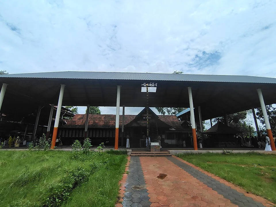
9.7 km · ~16 min by cab
The Thirumandhamkunnu Bhagavathy (Durga) temple at Angadipuram — a major Devi pilgrimage and the paradevata shrine of the old Valluvanad rajas, famous for its Pooram festival.
Roampedia is commission-free — own or know a stay, eatery, guide or shop near Kodikuthimala? List it and it appears here once verified.
Add a nearby businessFees change without notice. Check the current rate at the counter.
Entry: Reported as a four-tier tariff: ₹40 for an adult, ₹20 for a child, ₹100 for a foreign visitor and ₹150 for a camera, with a small extra charge for parking at the base. The ₹40 and ₹20 figures are corroborated across sources; the camera and foreigner rates come from the Malayalam Wikipedia article and we have not seen them elsewhere, so treat them as reported rather than confirmed.
Festivals: Kodikuthimala has no temple festival of its own; it is busiest on weekends, holidays and through the cool post-monsoon season, and pairs well with the festival calendar of nearby Angadipuram’s Thirumandhamkunnu temple.
Photography: The Malayalam Wikipedia article lists a ₹150 camera charge, which most English write-ups do not mention — assume a still camera may be ticketed and ask at the gate rather than at the top. Mobile photography is not reported as charged. The summit is a prime spot for sunrise, sunset and wide landscape shots; confirm any drone or commercial-shoot rules locally.
If you are travelling by bus or ferry, check the return service with the operator before setting out. Leave time to reach the stop or jetty after your visit.
Ask at the bus stand for the time of the last service back, not the next one. If you miss it, an auto or app cab is the fallback — agree the fare before you get in.
If you need step-free access, contact the site before travelling. Ask about a level entrance, steps along the route, the nearest drop-off point, seating and accessible toilets.
Emergency numbers are verified against official government and state tourism sources. 112 works anywhere in India.
The Thirumandhamkunnu Bhagavathy (Durga) temple at Angadipuram — a major Devi pilgrimage and the paradevata shrine of the old Valluvanad rajas, famous for its Pooram festival.
9.7 km · ~16 min by cab · straight line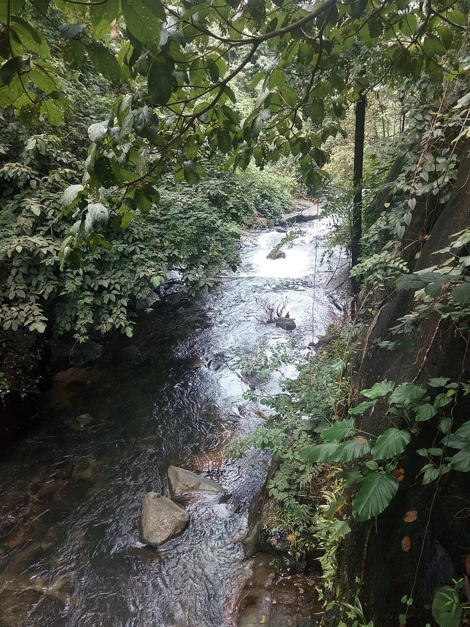
A high forest waterfall on the Western Ghat edge near Karuvarakundu/Kalikavu, dropping into a clear pool — remote and scenic; slippery rocks demand care.
19.9 km · ~33 min by cab · straight line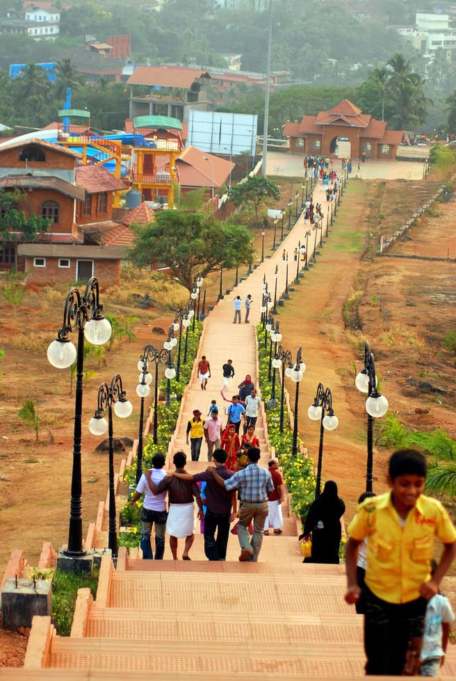
A hill garden and cultural park in Malappuram town, with an art gallery, open-air theatre and amusement attractions — a popular family picnic spot.
23.8 km · ~40 min by cab · straight line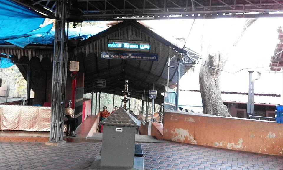
A revered Devi temple near Vettichira with no idol — the goddess is worshipped in a natural rock fissure; devotees offer the poomoodal and muri-pooja. Founded by legend of Adi Shankara.
27.3 km · ~45 min by cab · straight line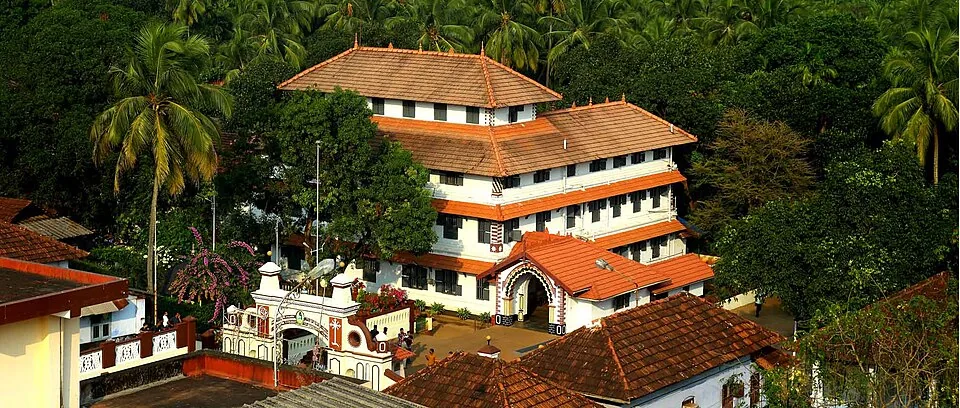
The famous Ayurveda institution at Kottakkal, founded in 1902 by Vaidyaratnam P.S. Varier — hospital, medicine-making, herb gardens and the PSV Natyasangham Kathakali academy.
30.8 km · ~51 min by cab · straight line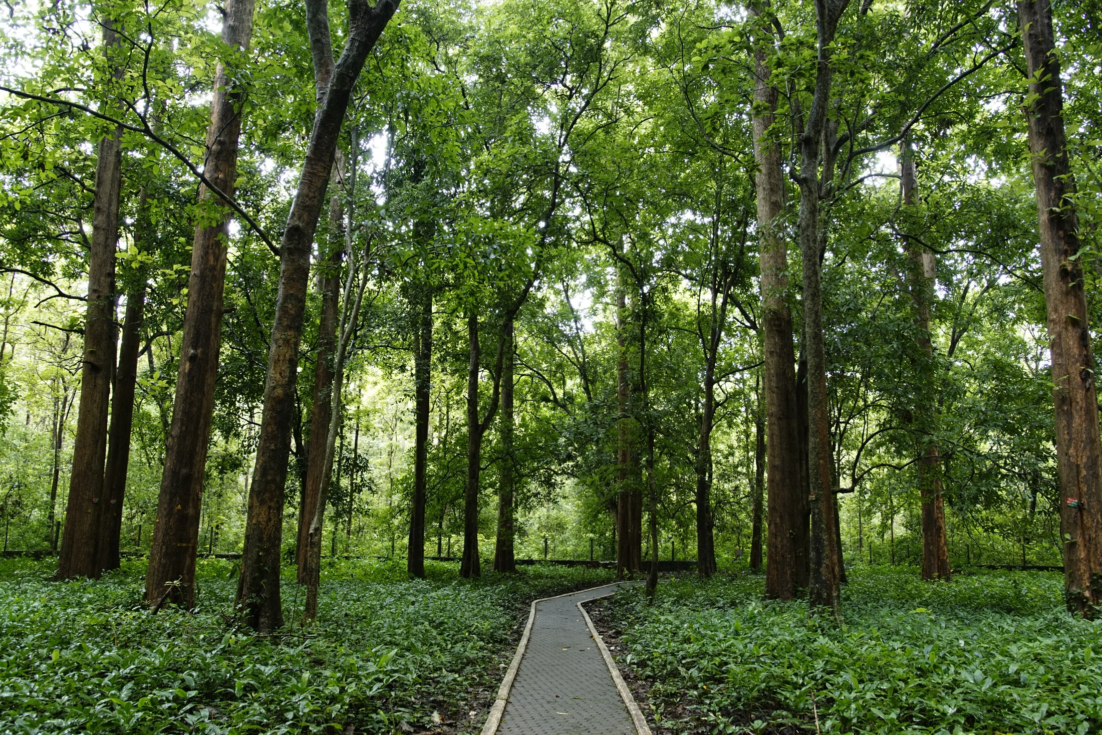
The preserved teak plantation and Forest Department ecotourism centre near Nilambur, associated with H. V. Conolly and Chathu Menon. Keep the historic plot, present visitor gardens and river crossing distinct.
33.2 km · ~55 min by cab · straight line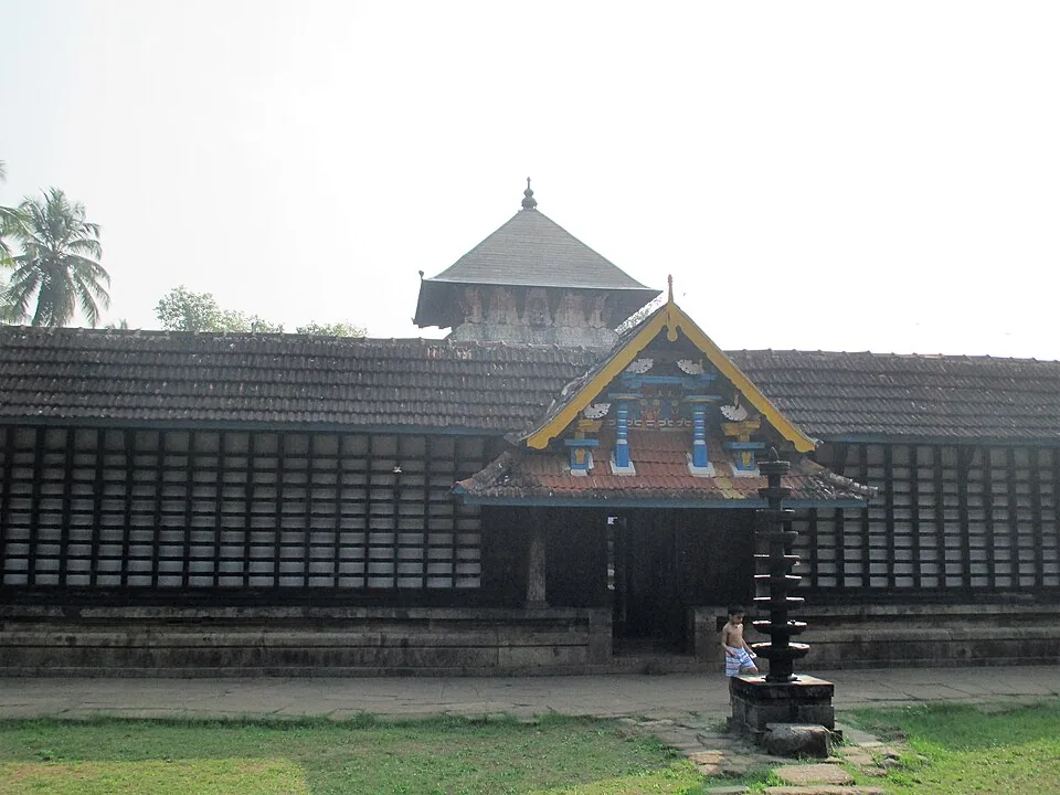
An ancient Vishnu temple on the Bharathapuzha at Thirunavaya, near the historic Mamankam fair-ground and a major venue for ancestral (bali/shraddha) rites.
34.6 km · ~58 min by cab · straight line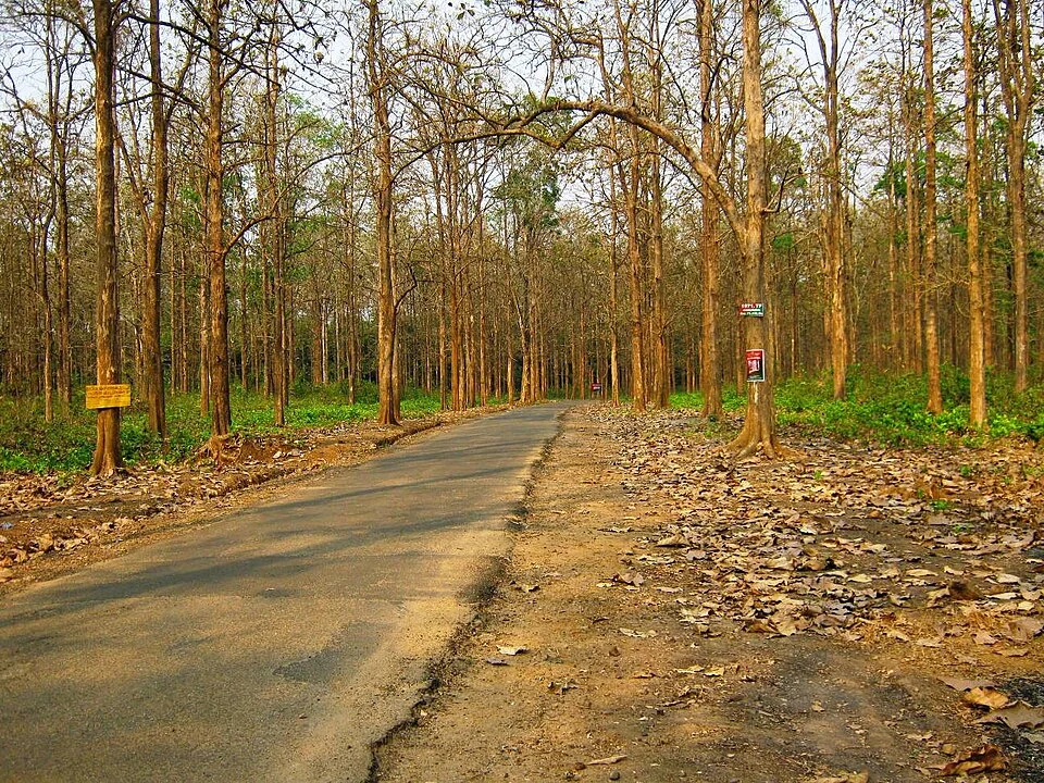
A Forest Department sightseeing visit through the Nedumkayam forest and Karimpuzha riverside near Karulai; longer forest treks require their own permission.
34.9 km · ~58 min by cab · straight line
A museum devoted to teak at KFRI’s Chandakkunnu campus, with an adjoining Bioresources Nature Park.
35.9 km · ~60 min by cab · straight line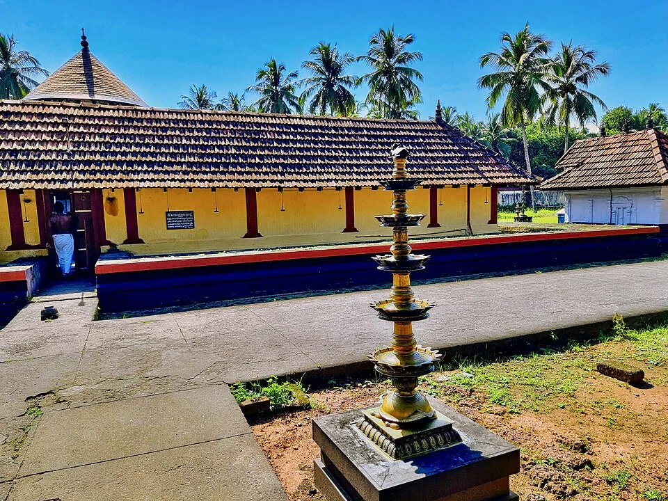
A west-facing Shiva temple south of Tirur, nine shrines inside six acres, built around the moment Shiva came out of the linga to stop Death taking the boy Markandeya.
39.9 km · ~67 min by cab · straight line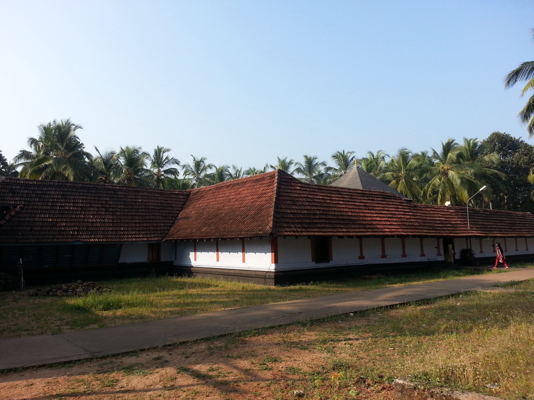
The Alathiyur Perumthrikkovil near Tirur, where the sanctum holds Sri Rama alone and the Hanuman carved outside it — leaning, caught in the act of listening to his orders — is the figure the crowds come for.
40.2 km · ~67 min by cab · straight line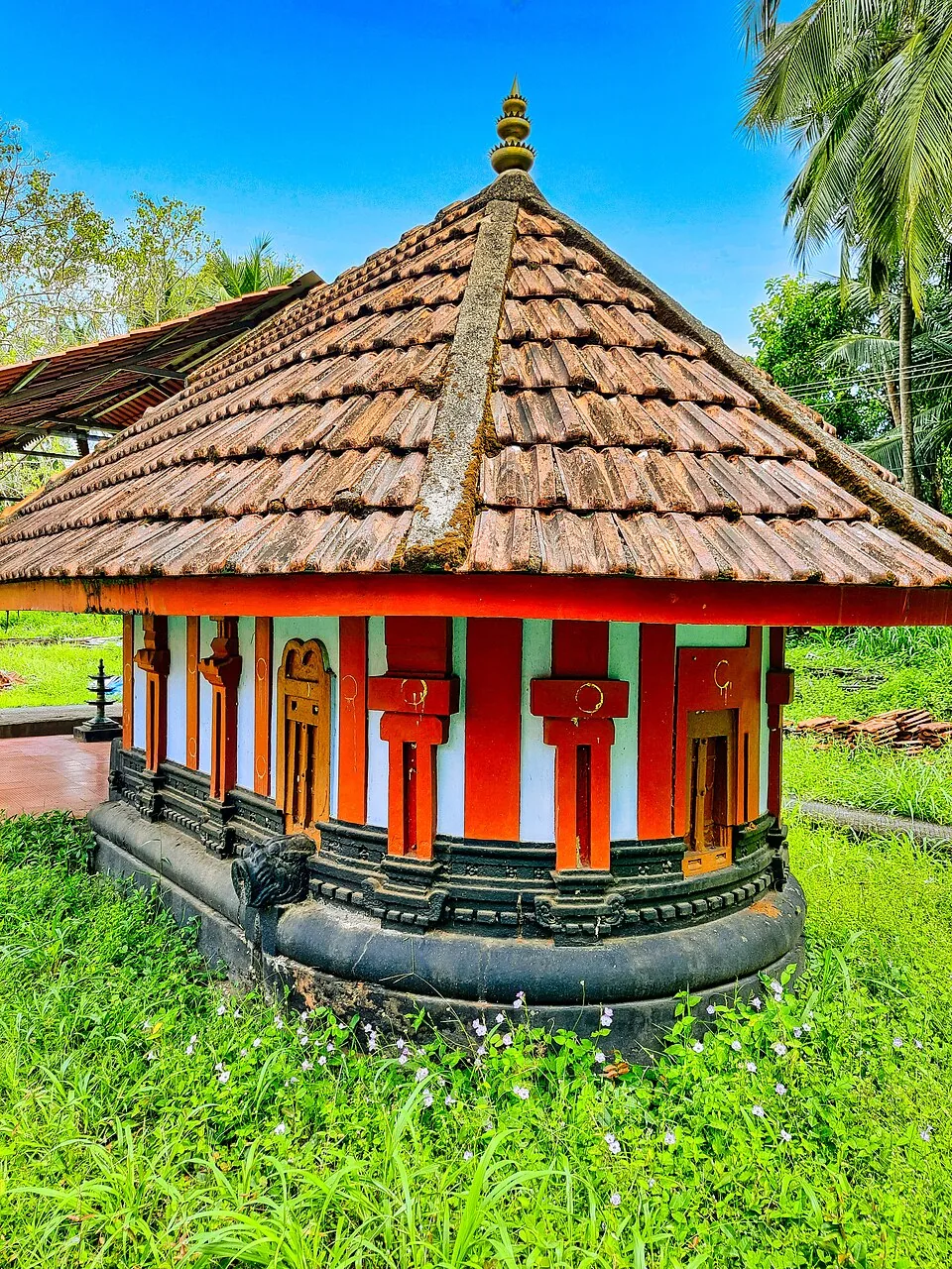
One of the hundred and eight Shiva temples of Kerala, a kilometre from Thunchan Parambu — an apsidal ninth-century shrine that opens at half past two in the morning because the god here was installed at dusk.
40.9 km · ~68 min by cab · straight lineIts open, grassy, mist-touched slopes — at 522 or 540 metres depending on which source you read — give it a cool hill-station feel reminiscent of Ooty, earning it the nicknames ‘Ooty of Malappuram’ and ‘mini Ooty’. One practical note that most write-ups omit: the Malayalam Wikipedia article gives visiting hours of 5:30 a.m. to 7:00 p.m. and says the hill is closed on Mondays, and plastic is completely banned on the site.
In Malayalam ‘kodi’ is flag, ‘kuthi’ is to plant or fix, and ‘mala’ is hill — so the name means ‘the hill where a flag was planted’, believed to date from a flag raised here during a British-era survey.
Yes — the treeless summit gives an unobstructed horizon in both directions, and many visitors time their trip for the golden hour. Arriving in the late afternoon lets you walk the slopes and reach the top before sunset.
The hill’s open, breezy slopes have been promoted for adventure activities and paragliding has been offered here at times as part of its tourism development, but availability is seasonal and not guaranteed — check current operations and book in advance before relying on it.
Around two to three hours is enough for the walk to the summit, the watch-tower view and a sunset; a relaxed picnic visit can easily fill a half-day.
Yes — the developed area has gentle grassy slopes, viewing points and space to picnic, making it an easy family outing, though the hill road and open edges call for care with young children.
Post-monsoon and winter are best for green hills and clearer views.
Entry: Reported as a four-tier tariff: ₹40 for an adult, ₹20 for a child, ₹100 for a foreign visitor and ₹150 for a camera, with a small extra charge for parking at the base. The ₹40 and ₹20 figures are corroborated across sources; the camera and foreigner rates come from the Malayalam Wikipedia article and we have not seen them elsewhere, so treat them as reported rather than confirmed. Timings: The Malayalam Wikipedia article gives 5:30 a.m. to 7:00 p.m. and — this is the part almost nothing else mentions — says the hill is closed on mondays. Other write-ups give roughly 6:00 a.m. to 6:00 p.m. and some an 8:00 a.m. opening, and none of them mention a closure at all. Do not drive up on a Monday without checking first.
Base in Perinthalmanna or Malappuram town and start early or late afternoon. Confirm current road/access status before going, especially in rain. Carry water and keep the plan simple because facilities are limited.
2 to 3 hours locally; half day from Malappuram or Perinthalmanna.
Nearby you can pair Thirumandhamkunnu Temple (9.7 km), Keralamkundu Waterfalls (19.9 km), Kottakkunnu (23.8 km), Kadampuzha Devi Temple (27.3 km).
Stay away from cliff edges and slippery slopes. Avoid the ridge in lightning, heavy rain or low visibility. Use experienced local drivers on narrow approach roads.
Written about Kodikuthimala itself — its history, its legends and the arguments about them.
Route-level itineraries and practical guides for the rest of Kerala.