What to expect
Highlights
- Heritage experience at Chandragiri Fort
- Architecture, local stories and old trade/cultural routes
- Good fit for guided walks and nearby cafes/shops
A 17th-century hilltop fort above the Chandragiri river built by the Keladi Nayakas, with sweeping views of the river mouth and the Arabian Sea — good at sunset.
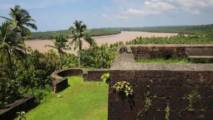
A ruined 17th-century laterite fort crowning a low hillock where the Chandragiri river empties into the Arabian Sea, Chandragiri Fort trades grand galleries for a sweeping, wind-scoured panorama — river mouth, backwaters and open sea folding into one of northern Kerala’s finest sunset views, roughly 6 km from Kasaragod town.
Chandragiri Fort does not overwhelm you with turrets and towers. It works on you slowly. You climb a modest laterite hillock, the ochre-red rock underfoot warm from the sun, and quite suddenly the land falls away on every side. Below, the Chandragiri river — broad and unhurried — swings toward the Arabian Sea, and the two waters meet in a bright confluence framed by coconut groves and sandbars. The fort stands about 150 ft (46 m) above the estuary, and that height is the whole point: this is a ruin you visit less for its walls than for what those walls let you see.
What survives is the outline of a large, roughly square enclosure of hard laterite stone, spread across several acres atop the rise. Local descriptions count eight bastions pierced with embrasures — the old cannon or peeranky holes — angled to command the sea approach and the river bar below. A dry trench once wrapped much of the perimeter, and the remnants of gateways and inner barracks can still be traced by anyone willing to walk slowly and imagine. Time, monsoon and salt air have worn the rest to grassy footings.
The setting has always been strategic rather than scenic. The Chandragiri river is a historic frontier — for centuries a boundary between the Tulu Nadu country to the north and the Kolathunad/Malabar world to the south — and whoever held this bluff held the crossing and the harbour mouth. That is why a fort rose here at all, and why it belongs to a chain of laterite strongholds strung along this coast, the mightiest of them the great Bekal Fort a little to the south, with Hosdurg fort near Kanhangad completing the group.
Today the fort is a quiet, unhurried place, cared for as a protected monument by the Kerala State Department of Archaeology. There is no museum-crowd bustle, no ticketed spectacle competing with the view. Families come to sit on the ramparts in the late afternoon; couples and photographers drift out toward the seaward bastions as the light turns gold. Down at the river you may find country boats and small ferries, and the neighbouring Kizhur area offers gentle backwater boating for those who want to see the fort from the water.
Come in the last hour before sunset and the ruin earns its keep. The estuary silvers, fishing craft cut dark silhouettes across the glare, and the whole west coast seems to tilt toward the sinking sun. Bring water and sensible footwear — the ground is uneven laterite and there is little shade — and give yourself time simply to sit. Chandragiri is a short, easy detour from Bekal or Kasaragod town, and rewards the traveller who treats it as a pause rather than a checklist tick.
The name Chandragiri translates literally as ‘moon hill’ or ‘moon mountain’ (chandra, moon; giri, hill), and the fort takes its name from the river and locality rather than the reverse. Sources describe the poetic name without attaching a firm, well-documented origin legend to it, so the meaning is best enjoyed simply as an evocative image — a moonlit bluff above a river — rather than treated as a story with historical weight.
The deeper history of this spot is a frontier history. The Chandragiri river long served as a natural boundary line — commonly cited as dividing the Tulu Nadu (Tulunad) country to the north from the Kolathunad and Malabar lands to the south. In the late medieval period this borderland fell within the southern reach of the Vijayanagara empire, and the river marked something close to the empire’s frontier zone on this coast, making the crossing and its harbour mouth a place worth controlling.
With the decline of Vijayanagara, the Keladi or Ikkeri Nayakas — who had administered the region on the empire’s behalf — asserted independence and extended their own authority over the coast. The fort itself is most commonly attributed to Shivappa Nayaka (Sivappa Naik) of the Bednore/Ikkeri line and dated to the 17th century, built as part of a wider programme of laterite coastal fortresses in the region. Some accounts place the construction in the mid-to-late 1600s; readers should treat the exact date and attribution as the traditional and widely repeated account rather than an ironclad certainty, as sources are not uniformly precise on the year.
The fort was engineered for coastal defence. Built of hard local laterite, it occupies a hilltop of roughly seven-plus acres, with an inner square enclosure and eight bastions set with embrasures to guard the sea route and river bar. A surrounding trench, gateways on the eastern and western sides, barrack foundations and traces of an underground passage at one corner are all recorded features — the working anatomy of a small garrison fort rather than a palace.
Like much of this coast, Chandragiri changed hands as regional powers rose and fell. Over the centuries control is described as passing through Vijayanagara-era and Nayaka authority to the Mysore rulers Hyder Ali and Tipu Sultan, and finally to the British East India Company as their power spread across Malabar and South Canara. Each transfer reflected the wider contest for the Malabar–Canara seaboard rather than any single dramatic siege remembered here.
In the modern era the fort has passed out of military use and into heritage care. It stands today in a ruined but atmospheric state, protected and maintained by the Kerala State Department of Archaeology. Excavations at the site are reported to have turned up cannonballs of stone and iron, iron implements and pottery — modest but telling evidence of the garrison life once housed on this quiet, sea-facing bluff.
The sunset. Chandragiri is widely rated among the finest sunset viewpoints in northern Kerala — the fort’s height above the river mouth gives an unobstructed westward sweep as the sun drops into the Arabian Sea.
The confluence panorama. Few forts offer this exact geography: the broad Chandragiri (Payaswini) river, its estuary and sandbars, the backwaters and the open sea all laid out together from a single laterite terrace.
Authentic, uncrowded ruin. Unlike heavily commercialised sites, Chandragiri stays quiet and unhurried — grassy ramparts, weathered laterite bastions and room to wander at your own pace under a protected-monument calm.
An easy pairing with Bekal. The fort sits in the same laterite-fort family as the far larger Bekal Fort and Hosdurg, so it slots naturally into a Kasaragod–Bekal heritage day rather than demanding a trip of its own.
River and backwater time. Down at the estuary and the neighbouring Kizhur area you can add gentle boating on the Chandragiri backwaters, watching the fort recede on its hill from the water.
Photography and stillness. The warm ochre of the laterite, silhouetted fishing craft on the estuary, and the low golden light make this a rewarding spot for photographers — and a genuinely peaceful place simply to sit.
Road km to Kasaragod; ghat roads and traffic vary — allow extra.
November to February and early mornings are best for walking; avoid midday heat where possible.
Live forecast loads in your browser.
Sun and moon are calculated for this location and shown in IST. Photography windows are the hour around sunrise and sunset; the sunset bearing is degrees clockwise from true north. Moon phase is accurate to about half a day.
Verified hotels, homestays, restaurants, experiences, sights, shops and rentals around Chandragiri Fort — commission-free, with direct contact. Filter by what you need.
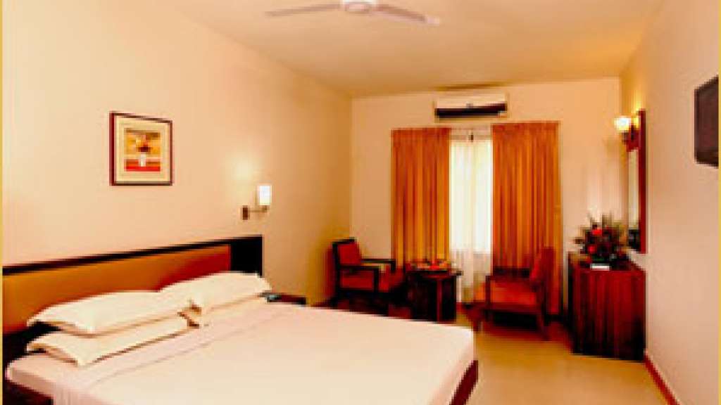
Kerala Tourism-listed three-star hotel at Nullipady on the national highway through Kasaragod town, near Carewell Hospital and the new bus stand. It offers air-conditioned rooms with a multi-cuisine restaurant and banquet hall, a convenient mid-range base for highway and business travellers in Kasaragod.

Kerala Tourism-listed three-star suites hotel on Fort Road in central Kasaragod town, close to Kasaragod Fort and the railway station. It offers modern air-conditioned suites and rooms with a multi-cuisine restaurant and banquet facilities, a comfortable mid-range town-centre base for business and transit travellers.

Town hotel in Kasaragod town. Kasaragod town, Kerala · Budget hotel (2-star class) · kasaragod-town, stay, Town hotel.

Taxi service in Kasaragod town. Kasaragod, Kerala · Taxi, Kasaragod transfers, Bekal transfers.
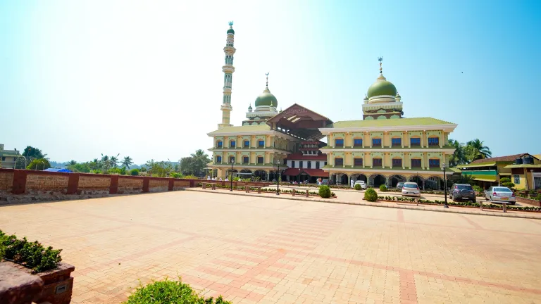
Malik Deenar Mosque is a historic Thalankara mosque and Kasaragod heritage stop, best planned respectfully around prayer times and local access customs. Religious site; check local access · Malik Deenar Mosque, Thalankara, Kasaragod heritage.
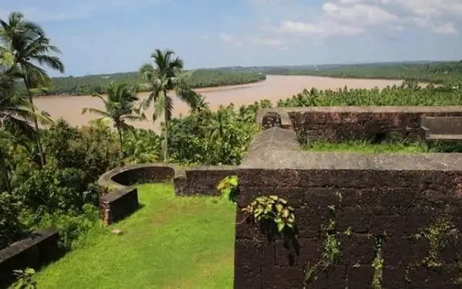
Chandragiri Fort is the Kasaragod town-side fort and river viewpoint, useful for short heritage, backwater and sunset planning with DTPC contact context. Chandragiri Fort, Kasaragod town, River view.
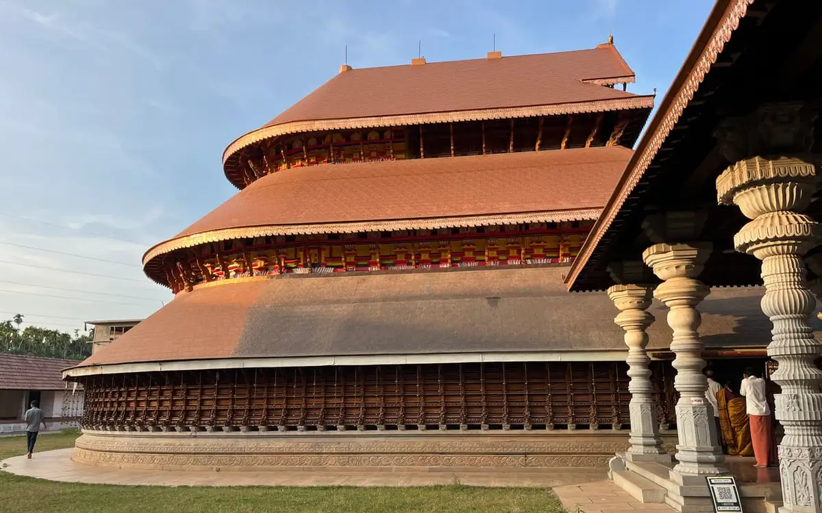
Temple in Kasaragod town. Sri Madanantheshwara Siddhivinayaka Temple, P.O. Madhur, Kasaragod, Kerala 671124 · Temple visit; check seva details direct · Madhur Temple, Kasaragod, Temple.
Contemporary suites hotel on Fort Road in central Kasaragod town. Rooms offer AC, memory-foam beds and free breakfast, with parking and EV charging.
Town restaurant in Kasaragod town. Kasaragod town, Kerala · kasaragod-town, eat, Town restaurant.
Official DTPC Kasaragod contact anchor for district visitor planning. Public information · DTPC Kasaragod, Tourist information, District contact.
Book with the place itself. India’s cyber-crime coordination centre warned in April 2025 that convincing copies of hotel and pilgrimage booking sites are being pushed through sponsored search and social ads, taking payment for rooms the property never hears about. Every listing here links to the business’s own contact details and its own Google or Bing profile — we take no commission and sit in nobody’s payment path. If a booking page reached you through an ad, check the address bar against the property’s own site before you pay. Fraud can be reported on cybercrime.gov.in or on 1930.
Find food, accommodation and activities across Kasaragod town. Browse the guides for places to eat, stay and explore along your route.
5 more places around Kasaragod town. Open a guide to plan the visit and onward journey.
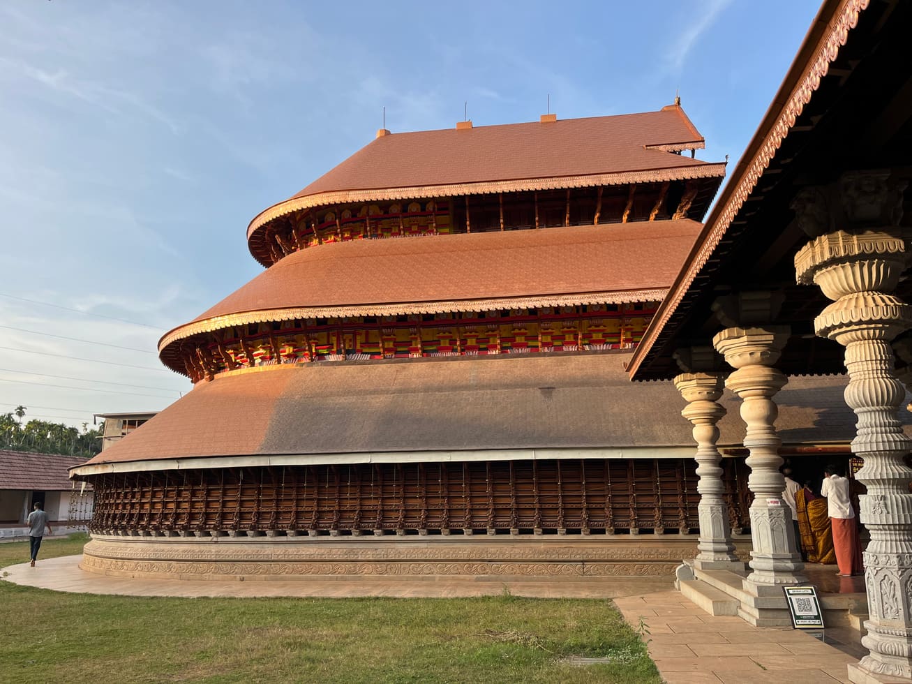
9.3 km · ~16 min by cab
The Madhur Sree Madanantheshwara-Siddhivinayaka temple on the Madhuvahini river — a Shiva temple better known for its beloved “Bodajja” Ganapathi and a Tipu Sultan sword-mark on its well.
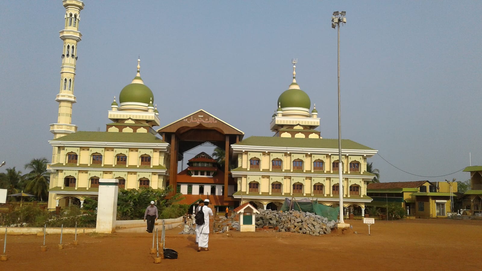
2.2 km · 28 min walk
The Malik Ibn Dinar Juma Masjid in Thalankara, Kasaragod — by tradition among the oldest mosques in India, linked to the earliest arrival of Islam on the Malabar coast.
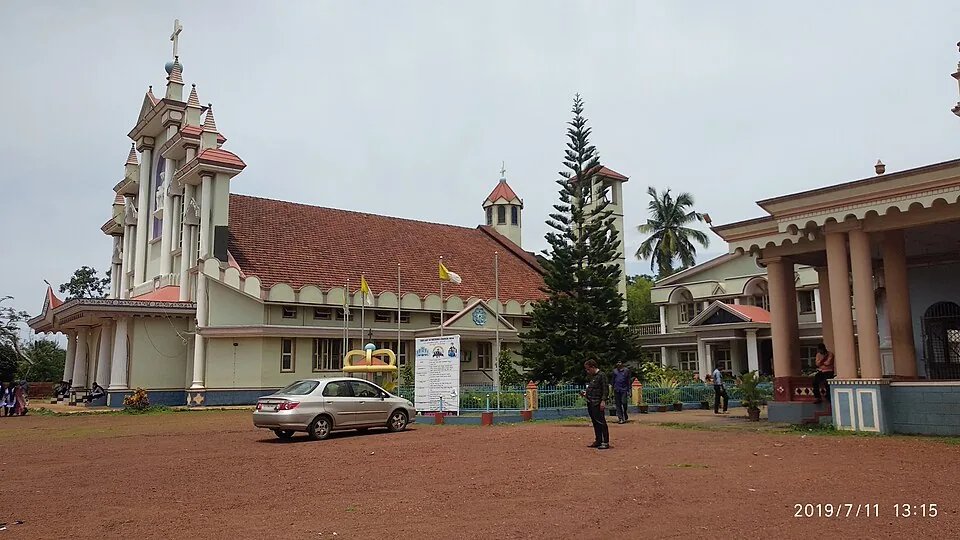
13.2 km · ~22 min by cab
Our Lady of Sorrows (Dolours) Church at Bela near Badiadka, built in 1890 — the oldest church and parish in Kasaragod district, founded by Konkani Catholics; a Gothic Revival church known for its statue of Mother Mary.
4.3 km · ~11 min by auto
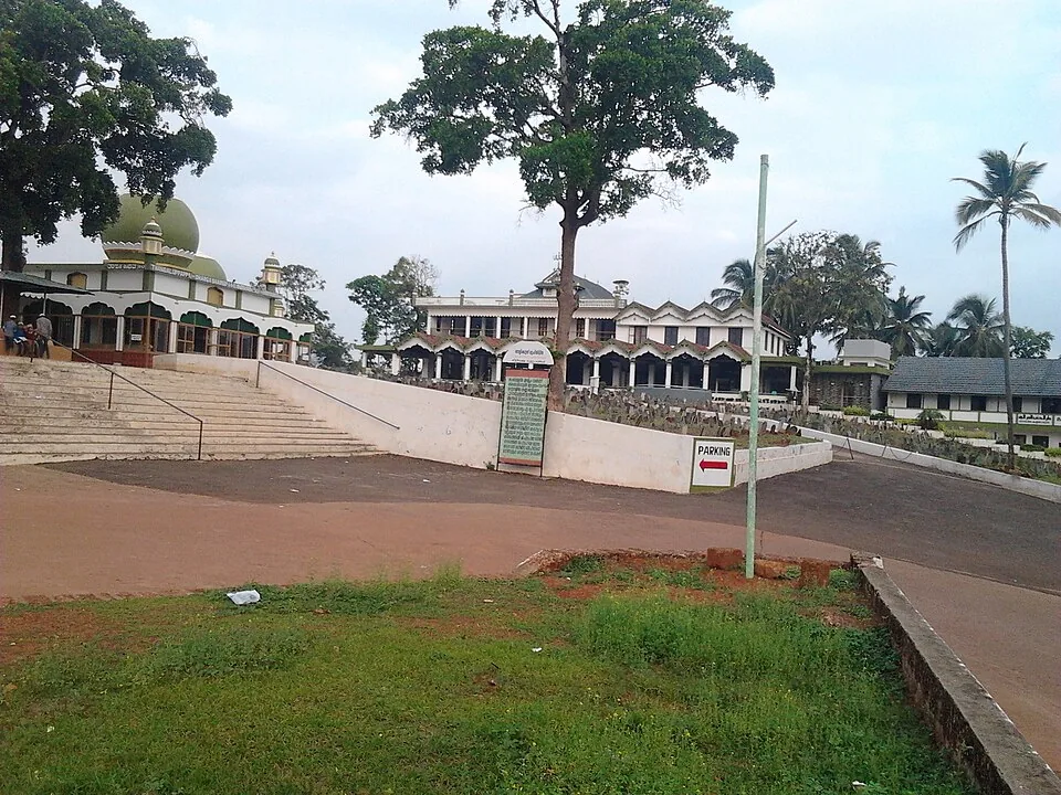
The Nellikunnu Muhyaddin Juma Masjid, a Sunni Friday mosque and dargah near the Kasaragod town beach that houses the tomb of Saint Thangal Uppapa; a local pilgrimage centre whose annual Nercha draws large crowds.
18.7 km · ~31 min by cab
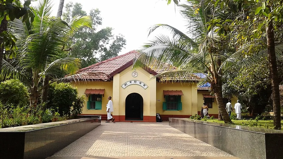
A tranquil spiritual retreat at Kanhangad founded in 1931 by Swami Ramdas (Papa) and Mother Krishnabai, set in quiet wooded grounds; open to visitors of every faith under its motto of “universal love and service”.
Roampedia is commission-free — own or know a stay, eatery, guide or shop near Chandragiri Fort? List it and it appears here once verified.
Add a nearby businessEntry: Generally free to enter as an open, ruined hill fort — the sunset view is the draw; a few listings mention a small nominal ticket and an optional light-and-sound show, so sources differ.
Dress code: No formal dress code; wear comfortable footwear for uneven laterite ground, plus a hat, sunscreen and water, as there is little shade.
Festivals: No fort festival of its own; the nearby Kizhur Sastha temple and the coastal Kasaragod region have their own temple festivals, and larger Bekal Fort nearby hosts occasional cultural events (confirm dates locally).
Photography: Photography is freely enjoyed; the warm laterite, estuary and sunset are the standout subjects. Best light is late afternoon into sunset.
If you are travelling by bus or ferry, check the return service with the operator before setting out. Leave time to reach the stop or jetty after your visit.
Ask at the bus stand for the time of the last service back, not the next one. If you miss it, an auto or app cab is the fallback — agree the fare before you get in.
If you need step-free access, contact the site before travelling. Ask about a level entrance, steps along the route, the nearest drop-off point, seating and accessible toilets.
Charge cap and free-transaction limits: Reserve Bank of India, in force since 1 May 2025.
These services are listed within about 1.2 km of Chandragiri Fort. Walking distances follow mapped routes; access and opening hours can change. Other services may be closer but are not included here.
Emergency numbers are verified against official government and state tourism sources. 112 works anywhere in India.
The Malik Ibn Dinar Juma Masjid in Thalankara, Kasaragod — by tradition among the oldest mosques in India, linked to the earliest arrival of Islam on the Malabar coast.
2.2 km · 28 min walk · straight lineThe Nellikunnu Muhyaddin Juma Masjid, a Sunni Friday mosque and dargah near the Kasaragod town beach that houses the tomb of Saint Thangal Uppapa; a local pilgrimage centre whose annual Nercha draws large crowds.
4.3 km · ~11 min by auto · straight line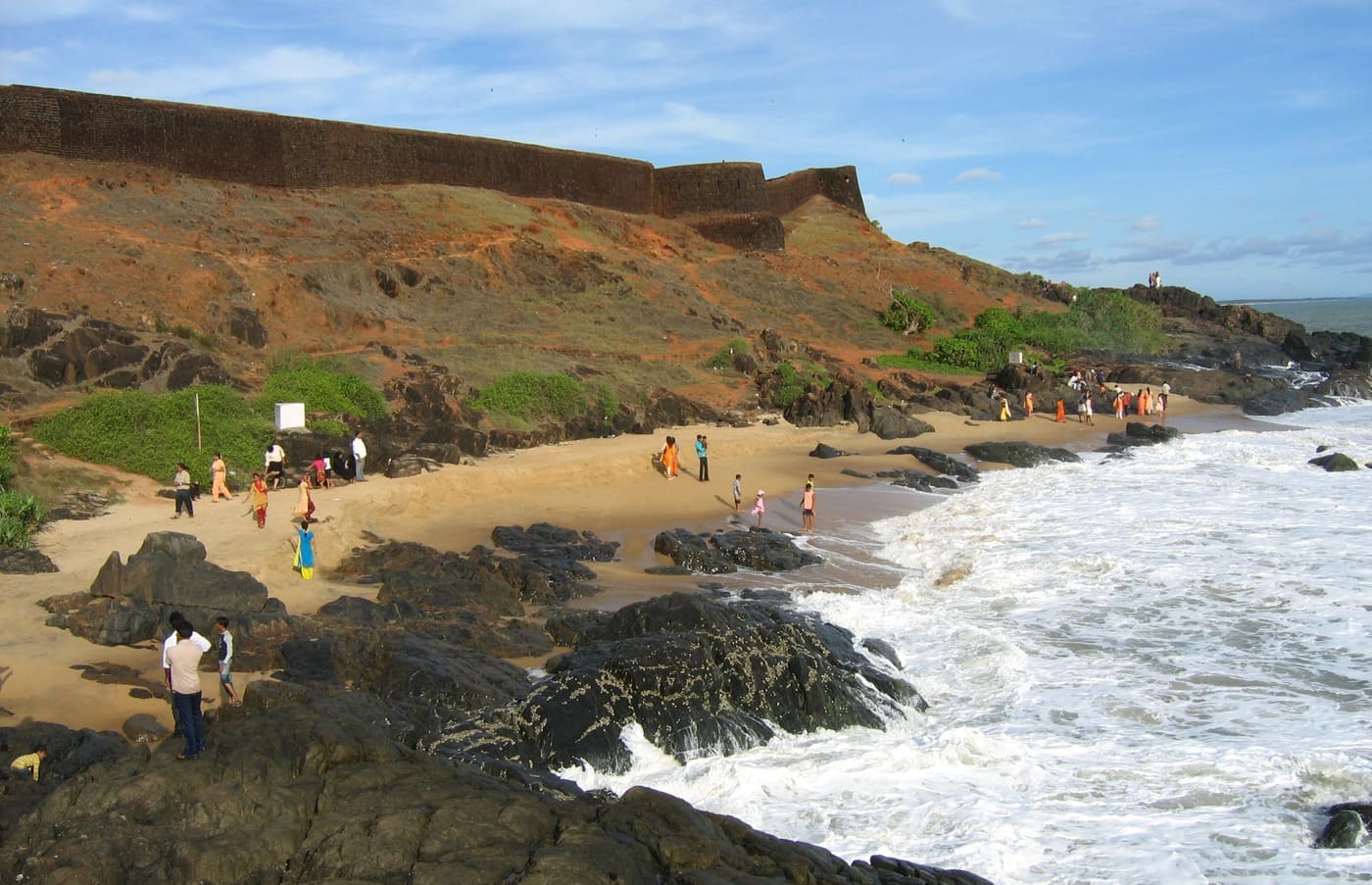
Kerala’s largest fort (~40 acres), a keyhole-shaped laterite bastion jutting into the Arabian Sea, built around 1650 by the Keladi Nayakas; its observation tower once mounted cannons.
9.2 km · ~15 min by cab · straight lineThe Madhur Sree Madanantheshwara-Siddhivinayaka temple on the Madhuvahini river — a Shiva temple better known for its beloved “Bodajja” Ganapathi and a Tipu Sultan sword-mark on its well.
9.3 km · ~16 min by cab · straight line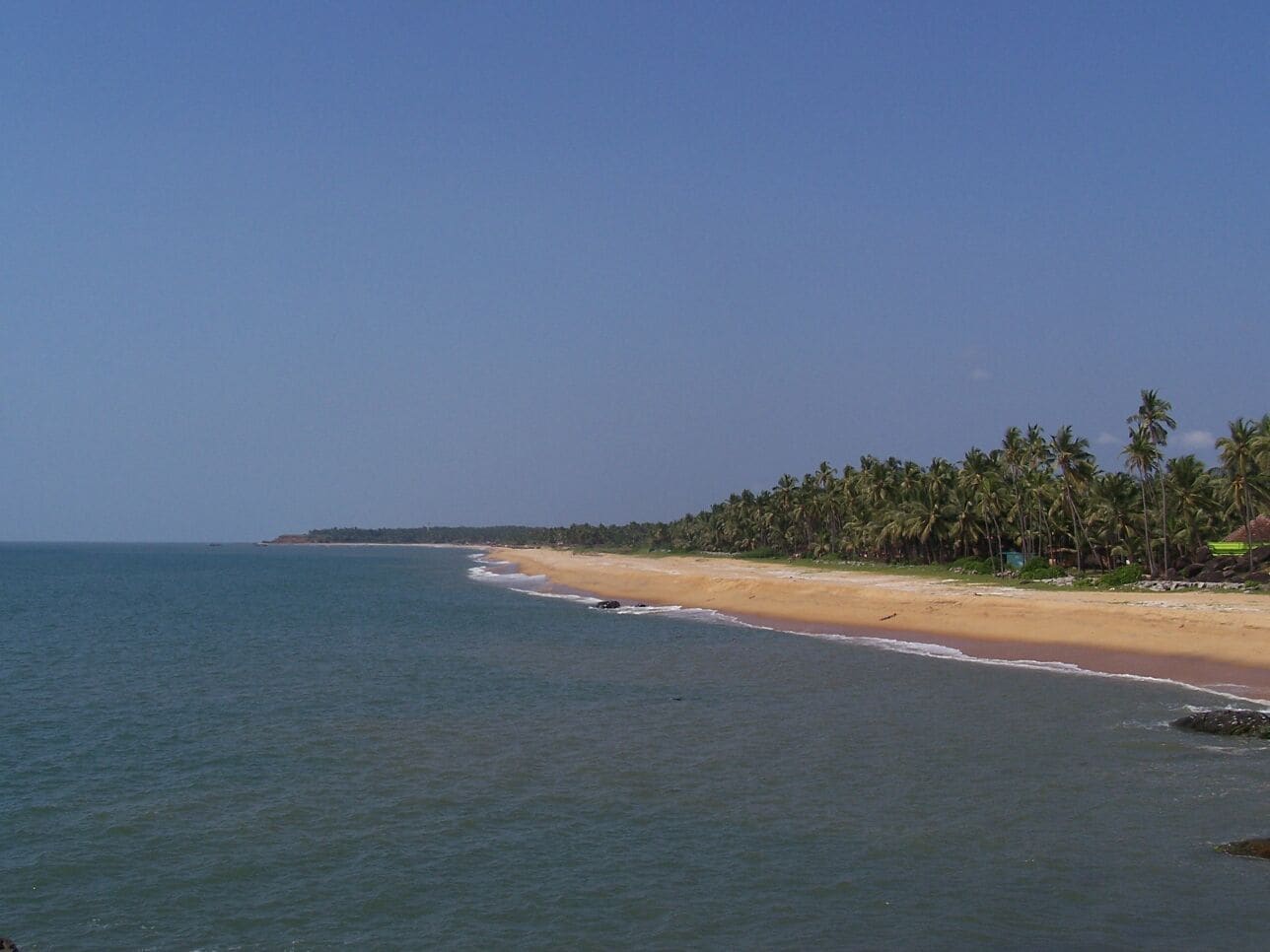
The beach stretch below Bekal Fort, with a landscaped park — famously the setting of the song “Uyire” from the film Bombay.
9.9 km · ~17 min by cab · straight line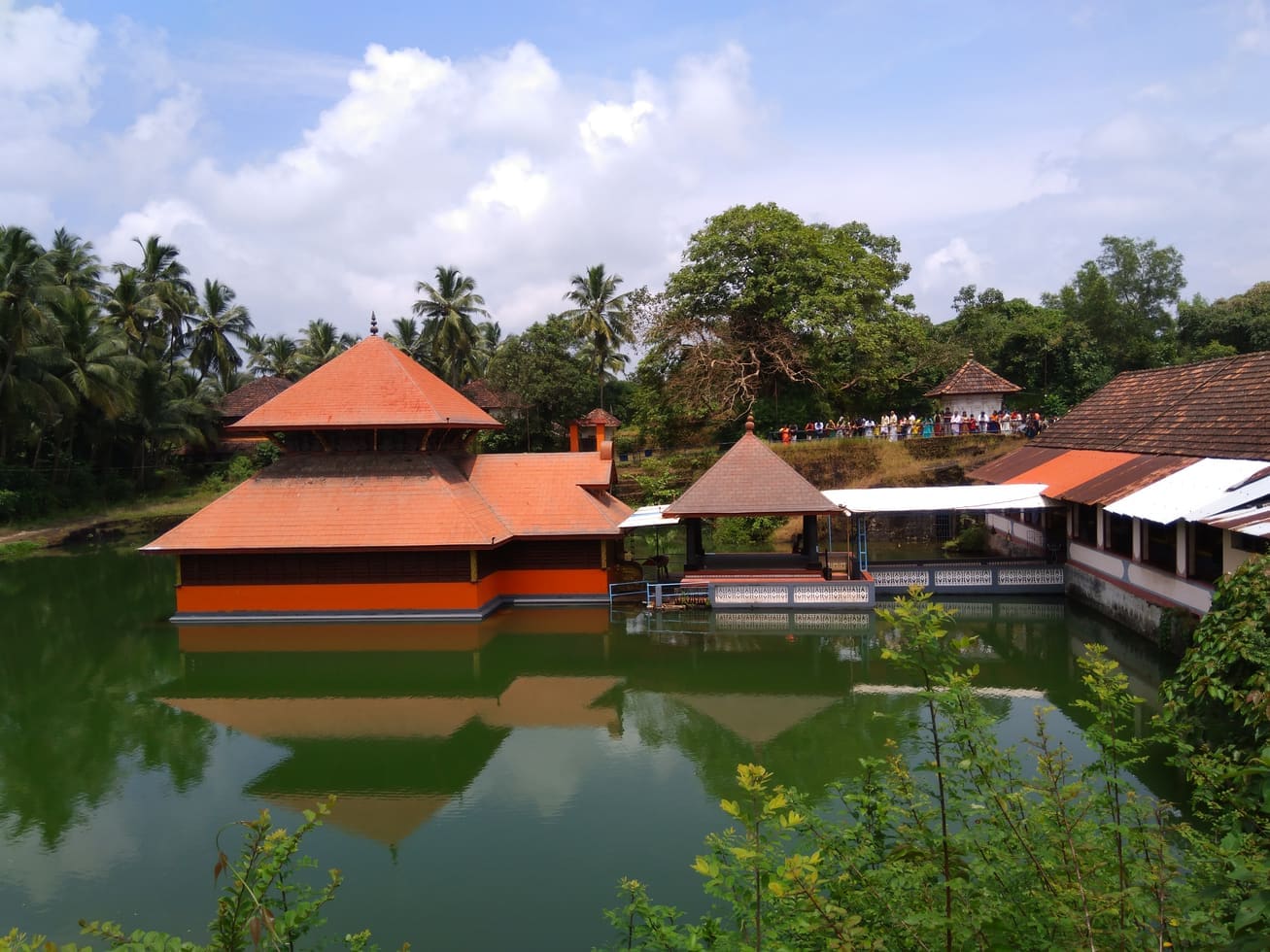
Kerala’s only lake temple, near Kumbla, the moolasthanam of Ananthapadmanabha — and home by tradition to Babiya, the temple’s resident vegetarian crocodile.
12.9 km · ~22 min by cab · straight lineOur Lady of Sorrows (Dolours) Church at Bela near Badiadka, built in 1890 — the oldest church and parish in Kasaragod district, founded by Konkani Catholics; a Gothic Revival church known for its statue of Mother Mary.
13.2 km · ~22 min by cab · straight lineA tranquil spiritual retreat at Kanhangad founded in 1931 by Swami Ramdas (Papa) and Mother Krishnabai, set in quiet wooded grounds; open to visitors of every faith under its motto of “universal love and service”.
18.7 km · ~31 min by cab · straight line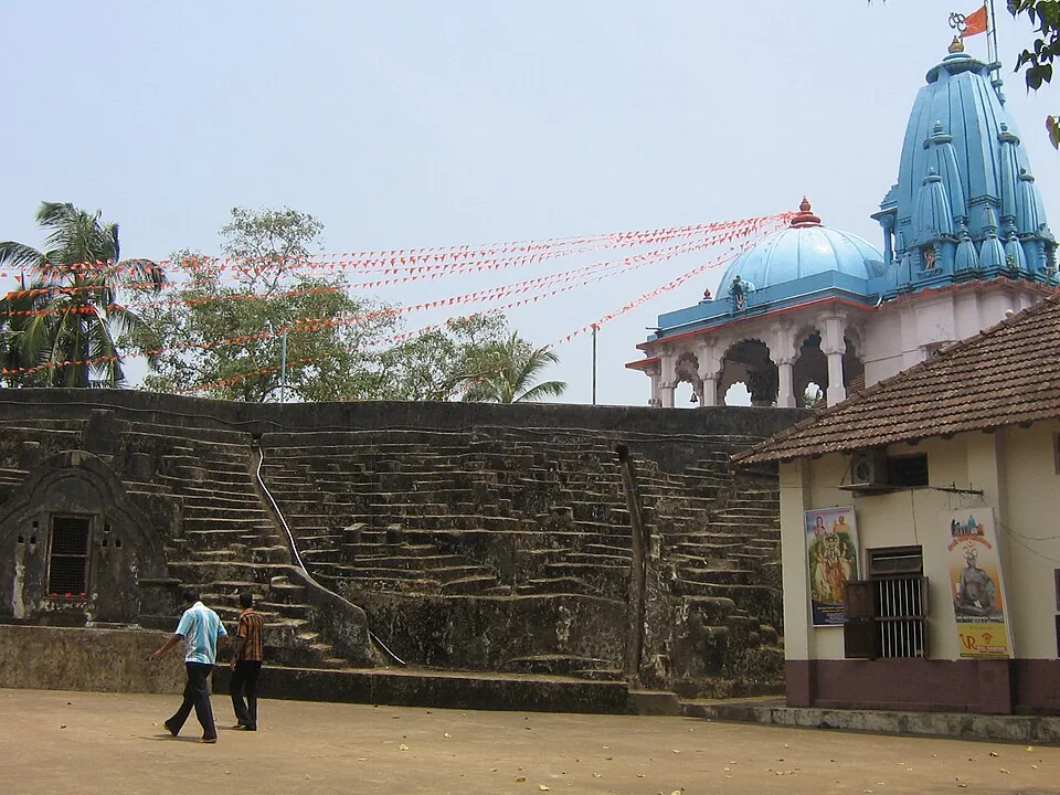
The hillside cave complex at Hosdurg where Bhagawan Nityananda cut meditation chambers by hand out of a single mass of laterite — 43 by the ashram’s own account — with the Nithyananda Temple built above them in 1963. Mobile phones are prohibited in the caves.
20.4 km · ~34 min by cab · straight line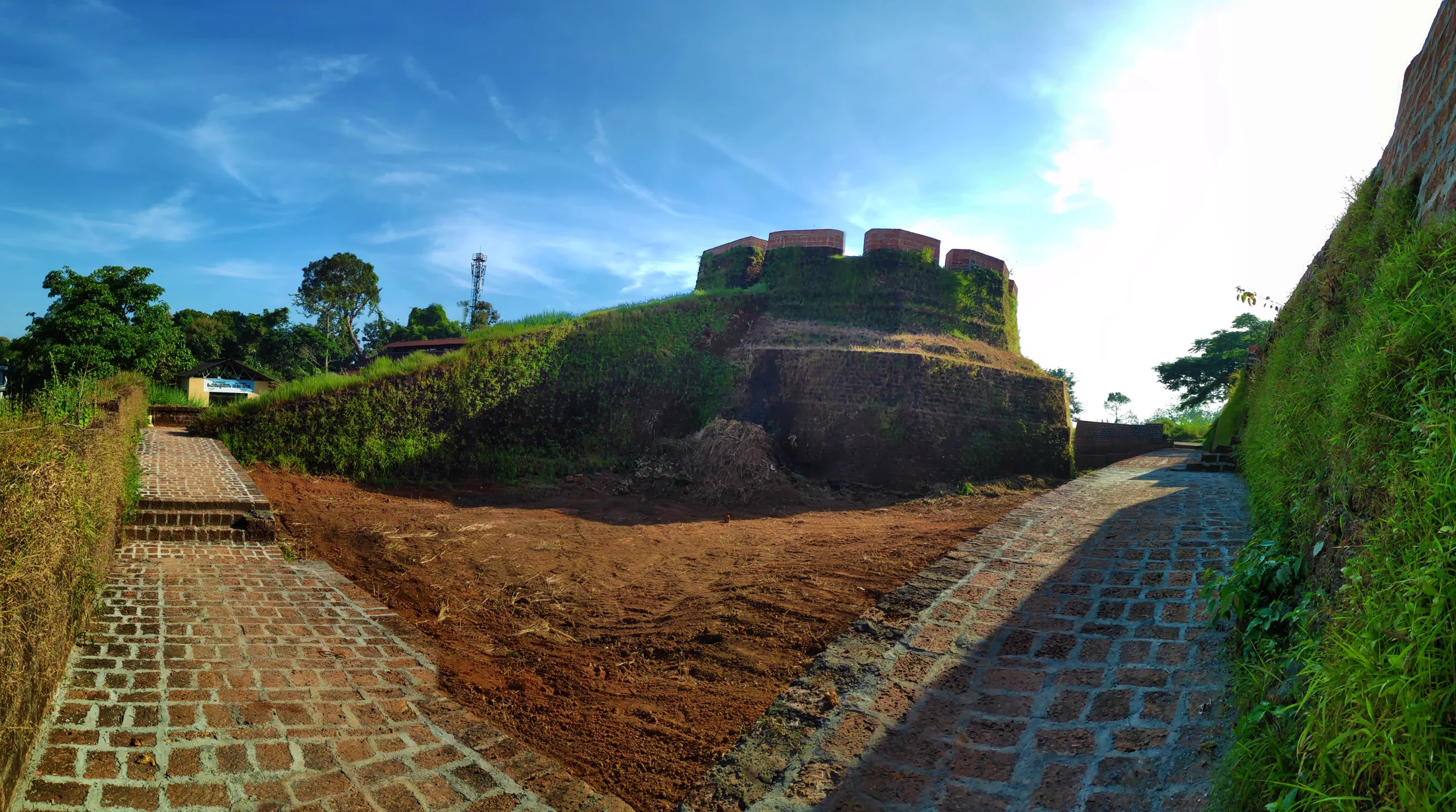
The surviving laterite fort at Hosdurg in Kanhangad is associated with the Ikkeri Nayakas and recognised by its rounded bastion and broad ramp; Nithyananda Ashram is a separate neighbouring institution.
20.5 km · ~34 min by cab · straight line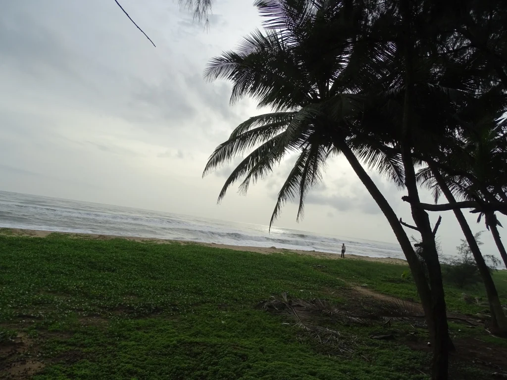
Kanhangad Beach is the Hosdurg coastal frontage of Kanhangad in Kasaragod district, with a broad sandy shore and an established fish-landing setting. It is a beach visit from Kanhangad town, distinct from Hosdurg Fort, the town’s ashrams and the separately named beaches at Ajanur, Ozhinhavalappu and Thaikadappuram. Use the named beach approach rather than a generic Kanhangad map result. The shore’s working character is central to the visit: leave boats, nets and landing passages clear while enjoying the sea-facing sand.
21.5 km · ~36 min by cab · straight line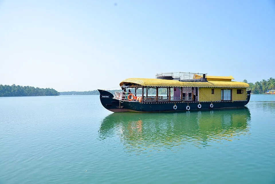
The cultural capital of Kasaragod — a Theyyam and folk-arts town on the Nileshwaram backwaters, with kovilakams, kavus and a lively ritual-arts season.
27.1 km · ~45 min by cab · straight lineNearby toilets, pharmacies, ATMs, seating and vets are community-mapped and may be incomplete or out of date. Map data © OpenStreetMap contributors | Walking times © openrouteservice.org by HeiGIT
It is most commonly attributed to Shivappa Nayaka (Sivappa Naik) of the Bednore/Ikkeri (Keladi) Nayakas and dated to the 17th century, built as one of a chain of laterite coastal forts in the region. The exact year and attribution are the traditional, widely repeated account rather than a firmly settled fact, so treat specific dates as indicative.
It is essentially an open, ruined hill fort and is generally described as free to enter, with the sunset view as the main draw. Some listings do mention a small nominal ticket and an optional light-and-sound show, so sources differ; carry a little cash in case a token fee applies on the day.
As an open ruin it is usually visited in daylight, and the late afternoon into sunset is by far the best time. Some sources cite managed hours of roughly 9:00 am to 5:30 pm and mention a Friday closure for any ticketed facilities.
The fort is roughly 6 km from Kasaragod town, and Kasaragod railway station is only about 6–7 km away — an easy short taxi, auto or bus ride.
October to March offers the most pleasant, dry weather, and the last hour before sunset is ideal for the views. The June–September monsoon brings heavy rain that can make the laterite ground slippery and exploration awkward.
Yes — Chandragiri is close by and belongs to the same group of coastal laterite forts as Bekal and Hosdurg. It is a short, scenic add-on rather than a full separate outing, and its river-mouth sunset makes a fine contrast to Bekal’s far larger walls.
November to February and early mornings are best for walking; avoid midday heat where possible.
Entry: Generally free to enter as an open, ruined hill fort — the sunset view is the draw; a few listings mention a small nominal ticket and an optional light-and-sound show, so sources differ. Timings: Open ruin, best visited in daylight through sunset; some sources cite managed hours of about 9:00 am–5:30 pm with a possible Friday closure for ticketed facilities.
Base yourself in Kasaragod town or a nearby town in Kasaragod, then confirm the last-mile route locally before leaving. Walkable heritage areas are best done slowly; combine nearby streets, museums, markets and food stops. If the visit depends on forest, temple, boat, ferry, weather or seasonal access, check the official/local rule on the day before travel.
1 to 3 hours.
Nearby you can pair Malik Deenar Mosque (2.2 km), Nellikunnu Mosque (4.3 km), Bekal Fort (9.2 km), Madhur Temple (9.3 km).
Watch traffic on narrow heritage streets. Keep valuables close in crowded markets.
Written about Chandragiri Fort itself — its history, its legends and the arguments about them.
Route-level itineraries and practical guides for the rest of Kerala.
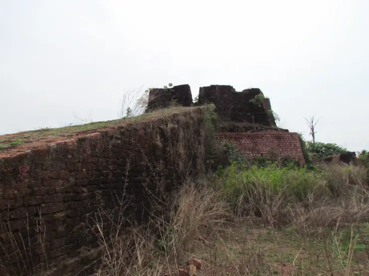
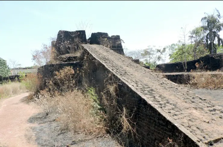
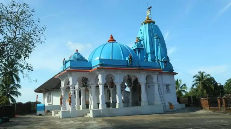
Photographs: Hafeezkv (CC BY-SA 4.0), TP RADHAKRISHNAN (CC BY-SA 4.0), M agnihotri (CC BY-SA 4.0). Wikimedia Commons.
