What to expect
Highlights
- Estuary, mudflat and coastal birding landscape near Kadalundi.
- Good pairing with Kozhikode, Beypore, Chaliyam and Malappuram coast routes.
- Expect to be booking birding guides, homestays, drivers and food stops.
Kadalundi Bird Sanctuary is an estuary birding landscape shared around the Kozhikode-Malappuram coast, where river, mudflats and sea-edge habitats bring migratory and resident birds. It is a quiet nature stop rather than a big-ticket attraction.
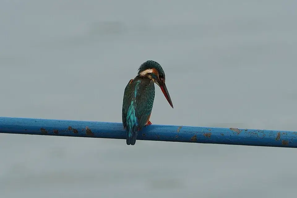
The sanctuary straddles local boundaries, and the birding depends on the tide and the season. Judge a stay or a guide by its exact location and by whether it can tell you when to be there.
Where the Kadalundi river unwinds into the Arabian Sea, a scatter of low green islands, silver mudflats and mangrove thickets forms one of Kerala’s finest shorebird theatres — a tidal estuary that fills, each winter, with thousands of waders and terns flown in from Siberia, Central Asia and the Himalayas.
Kadalundi is not a fenced forest with a ticket gate and a jeep track — it is a living estuary, and that is exactly its magic. The Kadalundi river, tumbling down from the Western Ghats, slows and widens here before it surrenders to the Arabian Sea, dropping its load of silt into a maze of shallow channels, sandbars and low islands. Twice a day the tide breathes in and out, and with it the whole landscape changes: at high water the birds crowd onto the last exposed islets, and as the sea pulls back it lays bare glistening mudflats where the real spectacle begins.
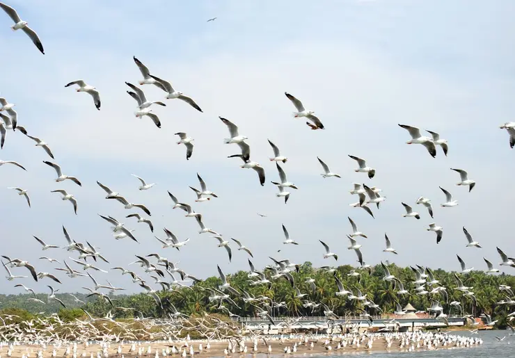
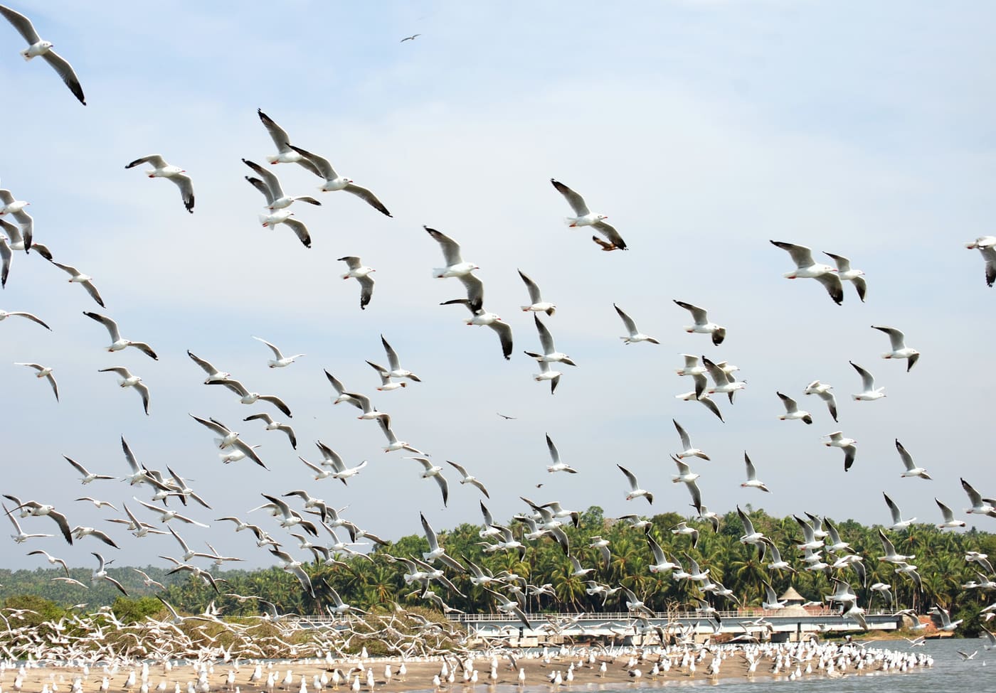
Those mudflats are a banquet. The mingling of fresh river water and salt sea makes the estuary extraordinarily rich in fish, mussels, crabs and worms, and it is this hidden larder that draws the birds. When the mud is exposed, hundreds of sandpipers, plovers, whimbrels, curlews and stilts fan out across it, probing and stitching the ooze with their bills, while terns and gulls wheel and dive over the water and brahminy kites hang on the sea breeze above.
Fringing the water is the sanctuary’s other great character — the mangroves. Their arching stilt roots and breathing pneumatophores lock the shifting mud in place, shelter fish nurseries and juvenile prawns, and give the whole estuary its close, green, salt-and-leaf smell. Local families have long gathered mussels and cast nets among these creeks, and the reserve was created precisely so that people and birds could keep sharing the same water.
Rising behind the flats is a low wooded hill that gives the sanctuary its viewpoint and its horizon. (En.wikipedia puts the sanctuary hill at around 200 m above sea level, and its infobox prints the same 200 m as the height of the sanctuary itself — which cannot be right for a tidal estuary at a river mouth. We have found no source that separates the two figures, so we describe the hill and leave the number attributed rather than asserted.) Climb a little and the geography resolves itself: the braided river mouth, the green islands, the backwater channels threading inland, and beyond them the open sea. It is from up here, or from the old railway bridge that strides across the estuary, that many visitors get their first proper sense of the place.
Timing, at Kadalundi, is everything. Come at dawn on a falling tide in the cool months and the mudflats will be busy and the light soft and golden; arrive at midday on a full high tide and much of the birdlife will be resting out of sight on distant islets. The reward for getting it right is one of the coast’s most peaceful mornings — the creak of a country boat, the piping of waders, egrets stalking the shallows, and the slow gold of a Malabar sunset spilling across the water as the day closes.
For all its serenity, Kadalundi carries real ecological weight. It is a recognised stop on the great flyway that funnels migratory shorebirds down the Indian coast each winter, and researchers and birders have logged an impressive tally of species here over the years. To stand on the flats as a flock lifts, turns and catches the light together is to watch a journey that began thousands of kilometres to the north end, for a few winter months, right at your feet.
Long before any official status, Kadalundi was simply the place where the river met the sea — an estuary of islands, sandbanks and mangrove creeks that fishing and mussel-gathering families had worked for generations. Its wealth of fish and shellfish made it, quite naturally, a magnet for birds, and over time it earned a quiet reputation among naturalists as one of the richest shorebird sites on the Malabar coast.
The estuary straddles two districts and two panchayats: the northern shore lies in Kadalundi in Kozhikode district, and the southern shore in Vallikkunnu in Malappuram district. This shared, lived-in geography — neither a pristine wilderness nor a fully developed town, but a working coastal commons — shaped how it would eventually be protected.
In October 2007 the Kerala Forest Department formally declared the estuary the Kadalundi–Vallikkunnu Community Reserve, the first Community Reserve in the state. The category matters: a Community Reserve is designed to conserve habitat while keeping local communities as partners and stakeholders rather than shutting them out, a fitting model for a place where people, mangroves and migratory birds have always overlapped.
The reserve is generally cited as covering roughly 153 hectares in all, including a smaller reserve-forest core of around twenty hectares of mangrove and estuarine habitat. Within it, dense mangrove stands, tidal mudflats and shallow channels together support well over a hundred resident bird species and around sixty migratory species that arrive each winter from as far as Siberia, Central Asia, Europe and the Himalayas.
In more recent years the reserve has been developed as a community-linked ecotourism destination, with birdwatching, guided boat rides and mangrove walks intended to give the surrounding villages a stake in keeping the estuary healthy. Like all such estuaries it faces pressures — siltation, encroachment on mangroves and disturbance at high-traffic times — which is exactly why its protected, community-managed status is so important to its future.
It is one of Kerala’s premier shorebird sites — on a good winter morning the mudflats can hold hundreds of sandpipers, plovers, whimbrels, curlews, stilts, terns and gulls, alongside resident egrets, herons, cormorants and brahminy kites.
The setting is genuinely beautiful and uncrowded: a braided river mouth, green islands, mangrove creeks, backwaters and a low hilltop viewpoint, all wrapped around the point where the Kadalundi river pours into the Arabian Sea.
A country-boat ride threads you quietly among the islands and mangroves for close, low-angle views of feeding birds and the tangled root systems that make the estuary so productive.
It is Kerala’s first Community Reserve, so a visit is also a look at a conservation model where local villages, mangroves and migratory birds share the same water — a rewarding stop for anyone interested in ecology as well as birds.
Sunsets over the estuary are a highlight in their own right, with the light spreading across the water and the old railway bridge silhouetted above the channels.
It is easy to reach as a half-day trip from Kozhikode or Beypore, with a railway station almost at the entrance, making it one of the more accessible birding escapes on the Malabar coast.
Road km to Malappuram; ghat roads and traffic vary — allow extra.
November to February is comfortable and a stronger migratory-bird window.
Live forecast loads in your browser.
Check the official alert before you travel. Kerala’s beaches, waterfalls and trekking routes close at short notice during heavy rain, and district alert levels change day to day. We do not publish an alert level of our own — read it from the state authority: Kerala State Disaster Management Authority, or the district control room on 1077.
Sun and moon are calculated for this location and shown in IST. Photography windows are the hour around sunrise and sunset; the sunset bearing is degrees clockwise from true north. Moon phase is accurate to about half a day.
These are official or public-sector eco offerings that match this place, town or forest destination. Confirm availability, permits, tariffs and reporting times with the official operator before travel.
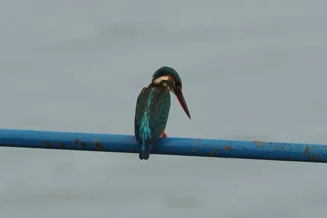
Estuary birding and community-reserve landscape shared around the Malappuram/Kozhikode coast.
Official source →Verified hotels, homestays, restaurants, experiences, sights, shops and rentals around Kadalundi Bird Sanctuary — commission-free, with direct contact. Filter by what you need.
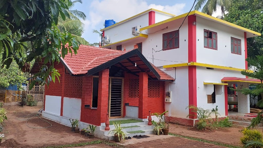
Kerala Tourism-listed Kadalundi homestay and ecotourism stay at Balathiruthy. Kadalundi stay, Balathiruthy, Ecotourism.
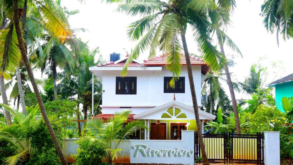
Kerala Tourism-listed Kadalundi homestay with mangrove excursion context. Kadalundi homestay, River View, Mangroves.
Book with the place itself. India’s cyber-crime coordination centre warned in April 2025 that convincing copies of hotel and pilgrimage booking sites are being pushed through sponsored search and social ads, taking payment for rooms the property never hears about. Every listing here links to the business’s own contact details and its own Google or Bing profile — we take no commission and sit in nobody’s payment path. If a booking page reached you through an ad, check the address bar against the property’s own site before you pay. Fraud can be reported on cybercrime.gov.in or on 1930.
Find food, accommodation and activities across Kadalundi. Browse the guides for places to eat, stay and explore along your route.
One more place around Kadalundi worth a day of its own.
A community reserve is a different legal animal from a sanctuary — it is declared over land where people keep their rights and agree to conserve it. This was Kerala's first, declared in 2007, covering 153.84 hectares including 21.22 hectares of reserve forest, and protecting mangrove, mudflat and five named islands: Company Thuruthu, Cheru Thuruthu, Cee Pee Thuruthu, Bala Thuruthu and Mannan Thuruthu.
Roampedia is commission-free — own or know a stay, eatery, guide or shop near Kadalundi Bird Sanctuary? List it and it appears here once verified.
Add a nearby businessEntry: A nominal entry fee of around ₹10 per person is commonly reported, with separate charges for boat rides.
Festivals: There is no temple-style festival here; the natural calendar is the draw — the winter arrival of migratory shorebirds from around November, and occasional birdwatching and nature-awareness events organised locally around the Community Reserve.
Photography: Bring binoculars and a telephoto lens of 300mm or longer for the waders, which often feed on distant flats; a wide lens suits the estuary, mangroves and sunsets. Shoot in early light on a low tide, keep your distance so you do not flush resting flocks, and protect gear from salt spray and mud.
If you are travelling by bus or ferry, check the return service with the operator before setting out. Leave time to reach the stop or jetty after your visit.
Ask at the bus stand for the time of the last service back, not the next one. If you miss it, an auto or app cab is the fallback — agree the fare before you get in.
If you need step-free access, contact the site before travelling. Ask about a level entrance, steps along the route, the nearest drop-off point, seating and accessible toilets.
Charge cap and free-transaction limits: Reserve Bank of India, in force since 1 May 2025.
These services are listed within about 1.2 km of Kadalundi Bird Sanctuary. Walking distances follow mapped routes; access and opening hours can change. Other services may be closer but are not included here.
Emergency numbers are verified against official government and state tourism sources. 112 works anywhere in India.
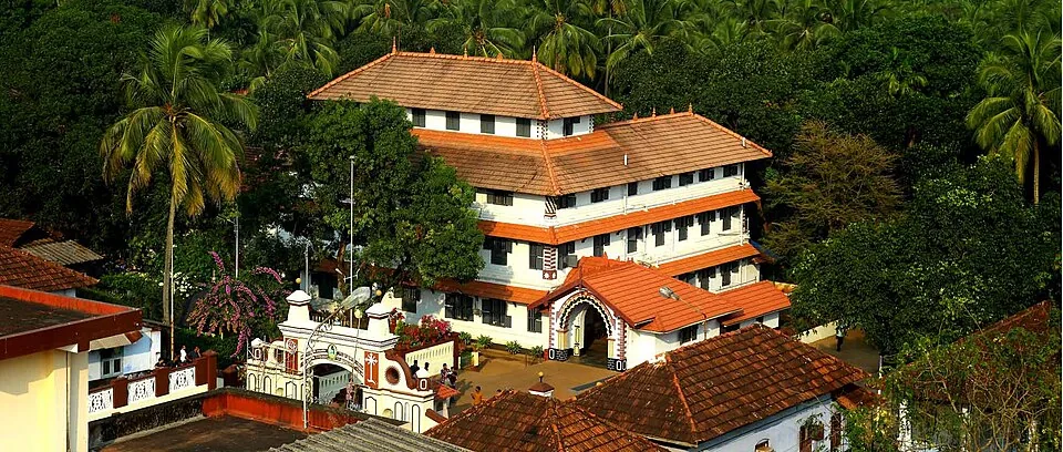
The famous Ayurveda institution at Kottakkal, founded in 1902 by Vaidyaratnam P.S. Varier — hospital, medicine-making, herb gardens and the PSV Natyasangham Kathakali academy.
24.6 km · ~41 min by cab · straight line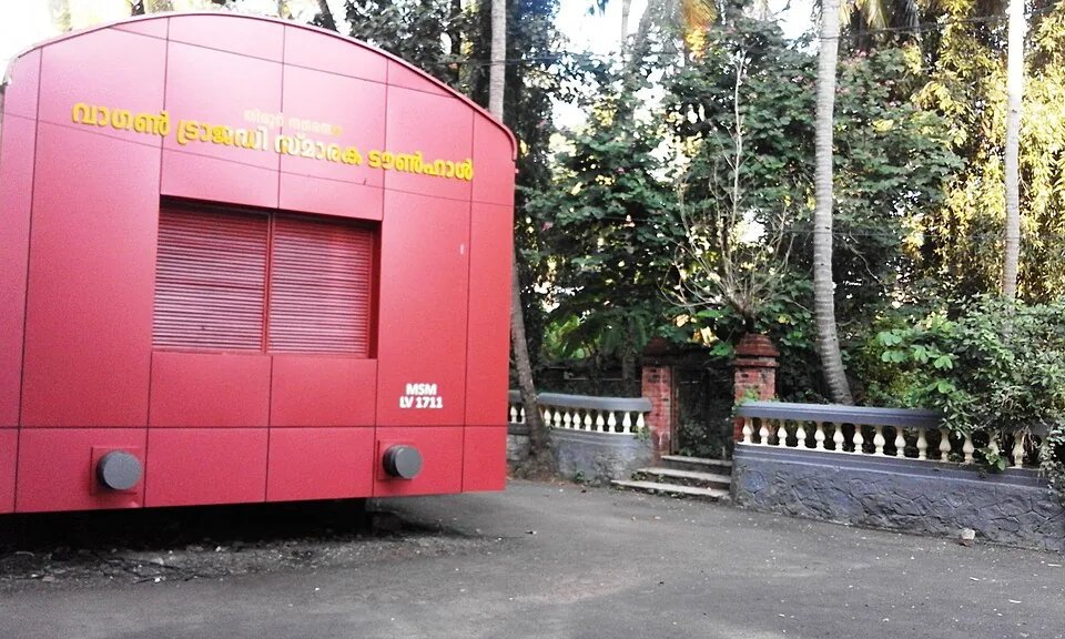
Tirur's town hall, built as a full-size railway goods wagon in signal red and lettered MSM LV 1711 — the memorial to the hundred prisoners shut into wagon 1711 at the station down the road on 19 November 1921.
26.1 km · ~43 min by cab · straight line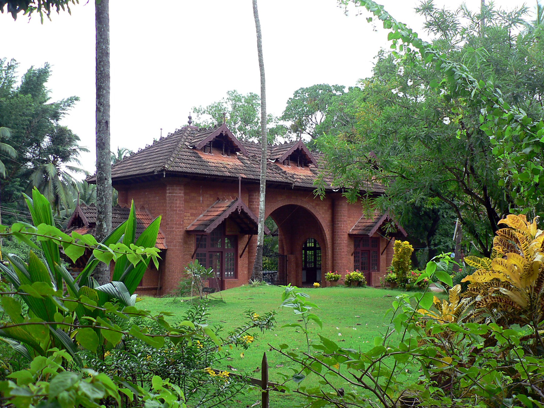
At Tirur, the ground of Thunchath Ezhuthachan, the “father of the Malayalam language” — a working literary institution with a museum, a manuscript library and the Vidyarambham first-letters tradition at Vijayadashami.
26.5 km · ~44 min by cab · straight line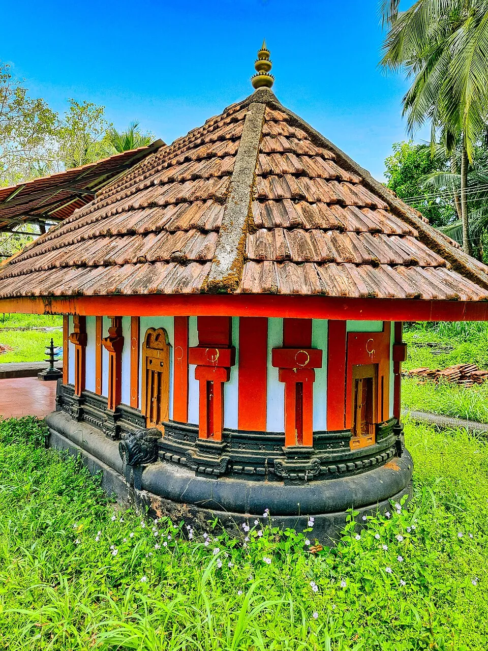
One of the hundred and eight Shiva temples of Kerala, a kilometre from Thunchan Parambu — an apsidal ninth-century shrine that opens at half past two in the morning because the god here was installed at dusk.
27.1 km · ~45 min by cab · straight line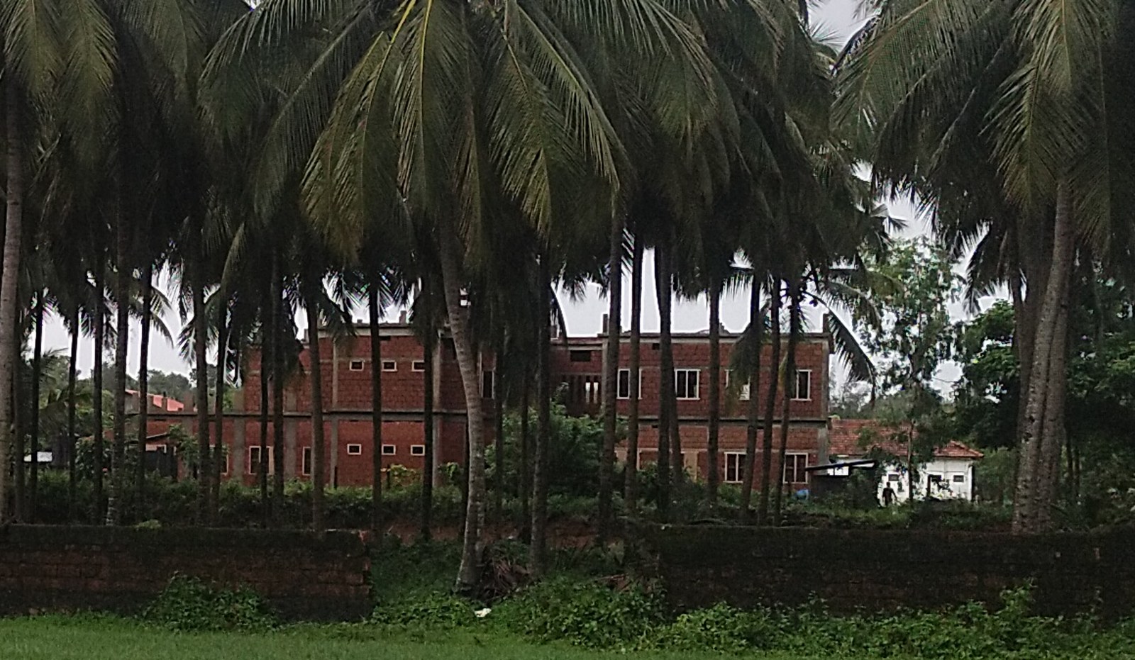
The state university at Vakkad, four kilometres west of Thunchan Parambu, founded in 2012 to teach the humanities and social sciences through Malayalam rather than English.
28.5 km · ~47 min by cab · straight line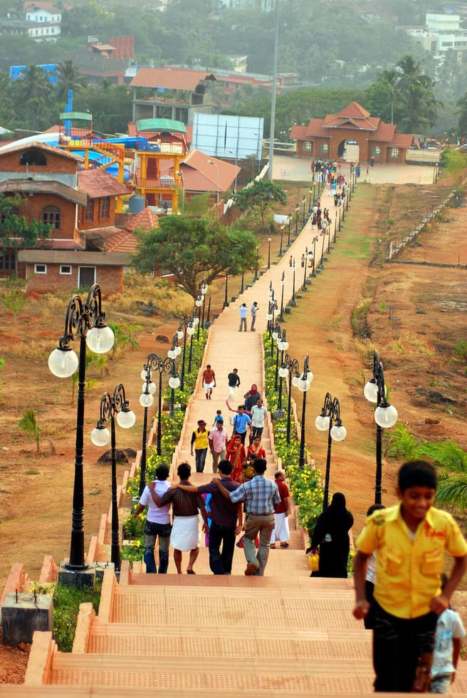
A hill garden and cultural park in Malappuram town, with an art gallery, open-air theatre and amusement attractions — a popular family picnic spot.
29.2 km · ~49 min by cab · straight line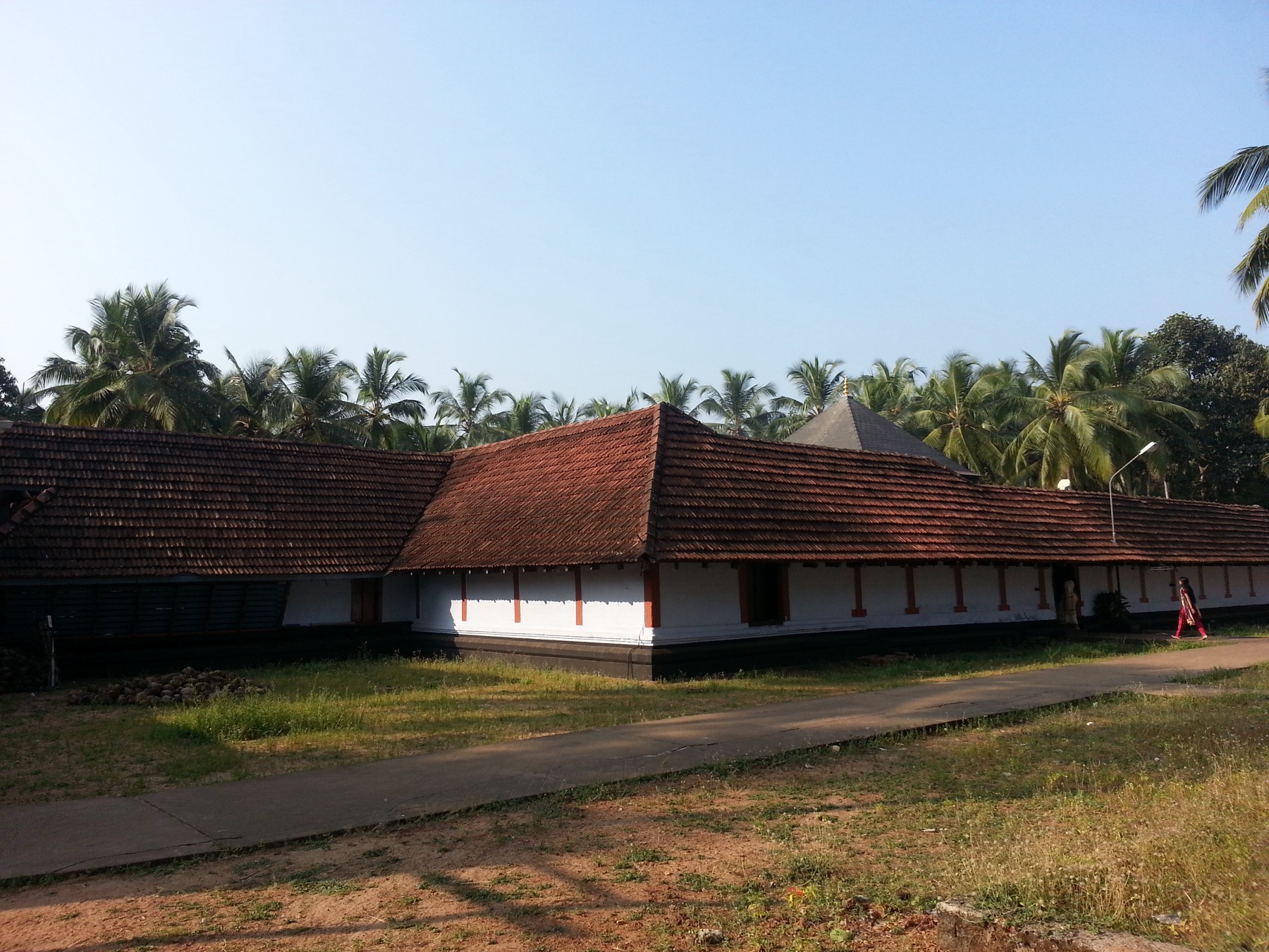
The Alathiyur Perumthrikkovil near Tirur, where the sanctum holds Sri Rama alone and the Hanuman carved outside it — leaning, caught in the act of listening to his orders — is the figure the crowds come for.
31.2 km · ~52 min by cab · straight line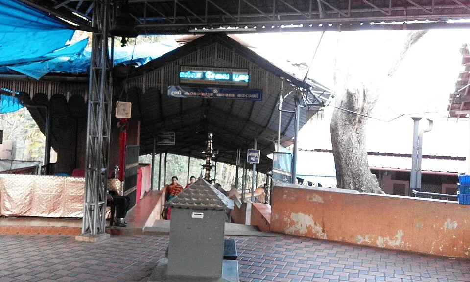
A revered Devi temple near Vettichira with no idol — the goddess is worshipped in a natural rock fissure; devotees offer the poomoodal and muri-pooja. Founded by legend of Adi Shankara.
31.3 km · ~52 min by cab · straight line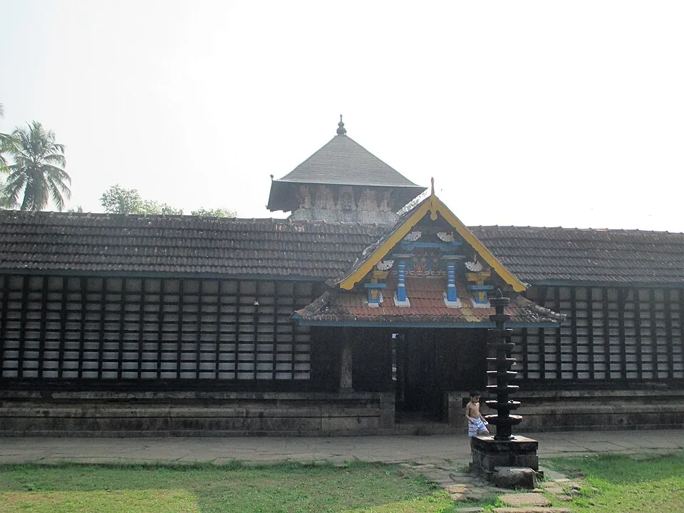
An ancient Vishnu temple on the Bharathapuzha at Thirunavaya, near the historic Mamankam fair-ground and a major venue for ancestral (bali/shraddha) rites.
32.0 km · ~53 min by cab · straight line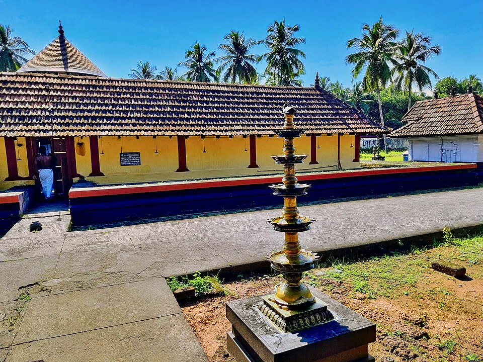
A west-facing Shiva temple south of Tirur, nine shrines inside six acres, built around the moment Shiva came out of the linga to stop Death taking the boy Markandeya.
33.2 km · ~55 min by cab · straight line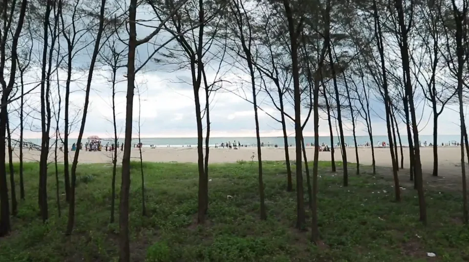
The sea-facing beach on the Padinjarekkara sandspit, with a casuarina belt behind the sand and a government park at the end of Tipu Sultan Road.
38.8 km · ~65 min by cab · straight line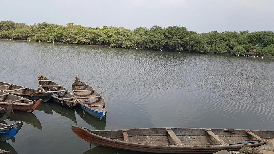
The mouth of the Bharathapuzha (Nila), Kerala’s second-longest river — which reaches the sea here together with the Tirur Puzha, between Ponnani on the south bank and Padinjarekkara on the north.
39.3 km · ~65 min by cab · straight lineNearby toilets, pharmacies, ATMs, seating and vets are community-mapped and may be incomplete or out of date. Map data © OpenStreetMap contributors | Walking times © openrouteservice.org by HeiGIT
It is best known as a mangrove estuary and shorebird haven where the Kadalundi river meets the Arabian Sea. Each winter it hosts around sixty species of migratory birds alongside well over a hundred resident species, spread across a cluster of islands, mudflats and mangrove creeks that form the Kadalundi–Vallikkunnu Community Reserve — the first Community Reserve in Kerala.
The migratory season runs roughly from November to April, when birds arrive from Siberia, Central Asia, Europe and the Himalayas to feed on the estuary’s fish and shellfish. Within that window, early mornings on a falling (low) tide are ideal, because the exposed mudflats concentrate the feeding waders and the light is soft.
Sources describe over a hundred resident bird species and around sixty migratory species, though exact counts vary between reports and seasons. Commonly seen birds include terns, gulls, sandpipers, plovers, whimbrels, curlews, stilts, herons, egrets, cormorants and brahminy kites.
Yes. Country-boat rides run among the islands and mangrove channels and are one of the best ways to get close, low-angle views of feeding birds and root systems. Charges and durations are set locally and change over time, so confirm timings, price and capacity at the reserve before setting out.
Binoculars are strongly recommended, as many waders feed on distant mudflats and islets. For photography a telephoto lens (ideally 300mm or longer) is ideal for the birds, while a wide lens captures the estuary, mangroves and sunset. Early light and a low tide give the best results.
It sits between Kozhikode (Calicut) and Beypore, roughly 19–25 km from Kozhikode city. Kadalundi railway station is very close to the estuary, Calicut International Airport at Karipur is the nearest airport, and local buses and auto-rickshaws serve the area from the Kadalundi and Vallikkunnu roads.
November to February is comfortable and a stronger migratory-bird window.
Entry: A nominal entry fee of around ₹10 per person is commonly reported, with separate charges for boat rides. Timings: Typically open daily, around 08:00 to 17:00; as a tidal estuary, the best birding is at low tide regardless of the posted hours, so plan around the tide as much as the clock.
1.5 to 3 hours.
Nearby you can pair Kottakkal Arya Vaidya Sala (24.6 km), Wagon Tragedy Memorial (26.1 km), Thunchan Parambu (26.5 km), Trikkandiyoor Mahadeva Temple (27.1 km).
Avoid mudflat, mangrove and river edges without local guidance. Do not disturb birds or play loud calls/music. Use known transport if returning after sunset.
Written about Kadalundi Bird Sanctuary itself — its history, its legends and the arguments about them.
These guides explore Kadalundi and the surrounding area. Choose a visit that fits your interests, allowing separately for travel between stops.
Route-level itineraries and practical guides for the rest of Kerala.
Photographs: Vinayaraj (CC BY-SA 4.0), Vengolis (CC BY-SA 4.0), Balakrishnan Valappil (CC BY-SA 2.0), Dhruvaraj S from India (CC BY 2.0), Suresh Babunair (CC BY 3.0), Dhruvaraj S (CC BY 2.0). Wikimedia Commons.